
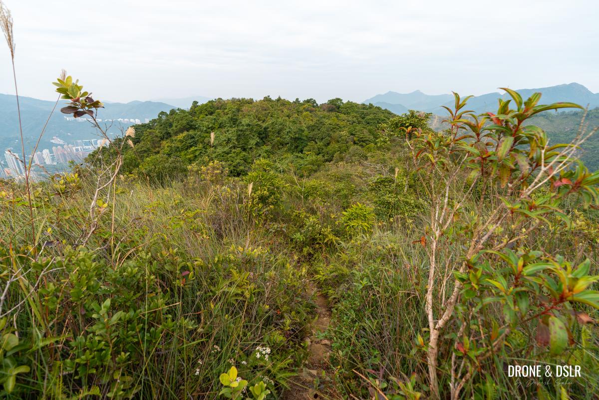
Unicorn Ridge (aka 雞胸山; literally ‘Chicken Breast Mountain’) is a relatively unknown hill tucked between Temple Hill and Lion Rock. While the hike to Unicorn Ridge itself offers little reward – no views and an unmaintained trail – its northern ridgeline (離胸山北脊) makes for a relatively more exciting descent into Shatin.
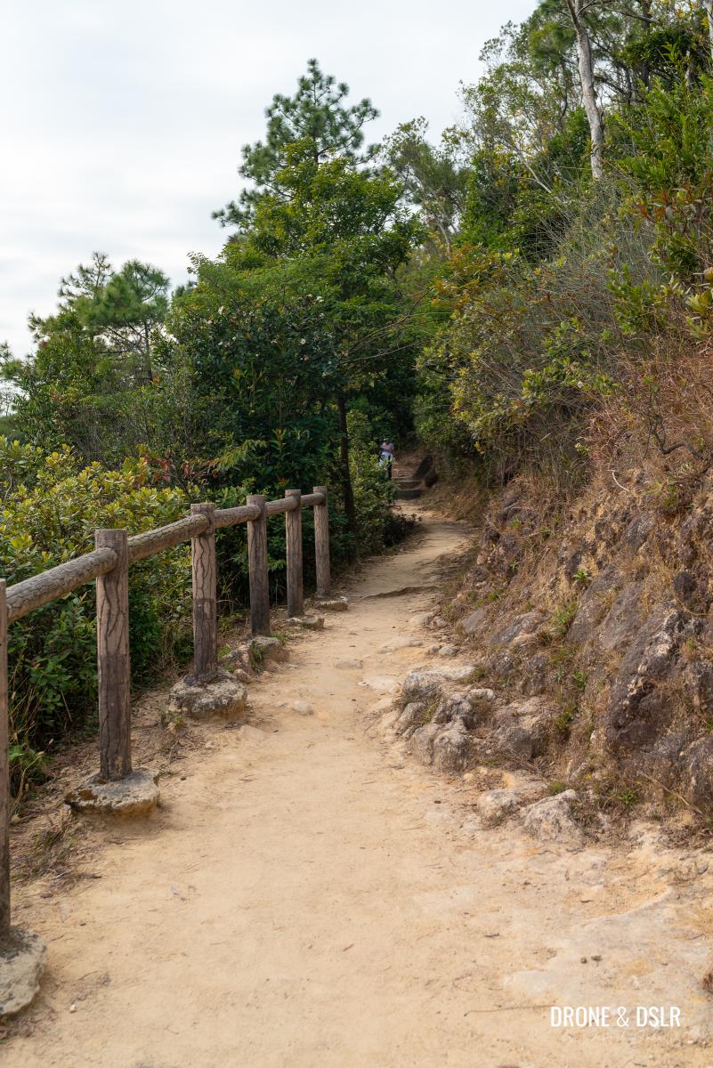
The north ridge offers a rougher but more scenic descent compared to the Tsz Sha Ancient Trail, which runs parallel to it. It consists of three hills (Unicorn Ridge, Crown Point, and Mau Tsai Shan) and culminates at Fo Dau Ping, a flattened hilltop that offers spectacular views of Shatin.
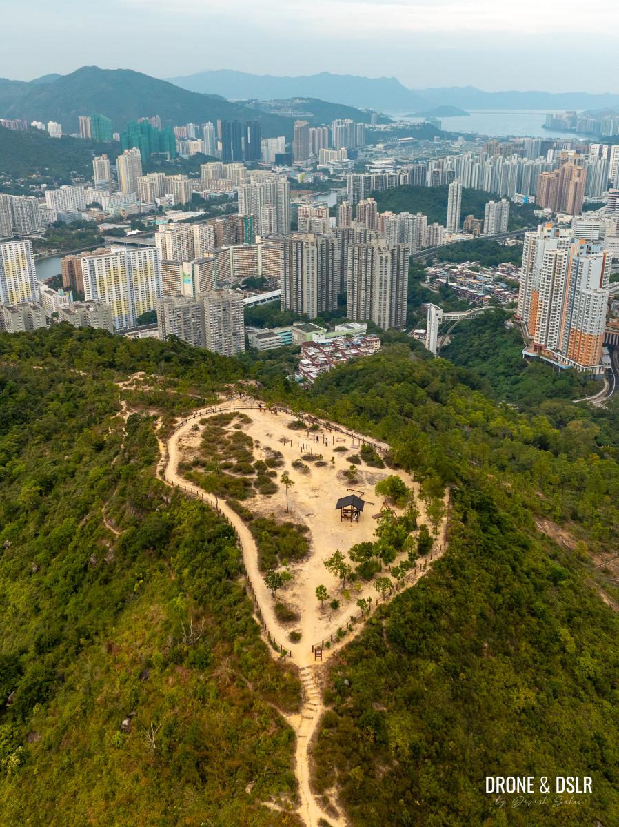
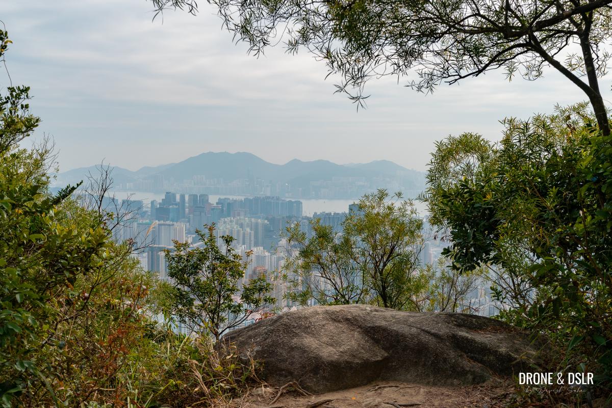
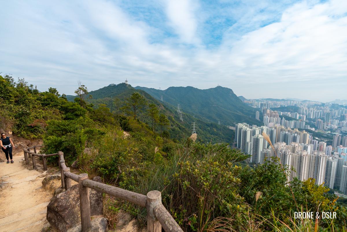
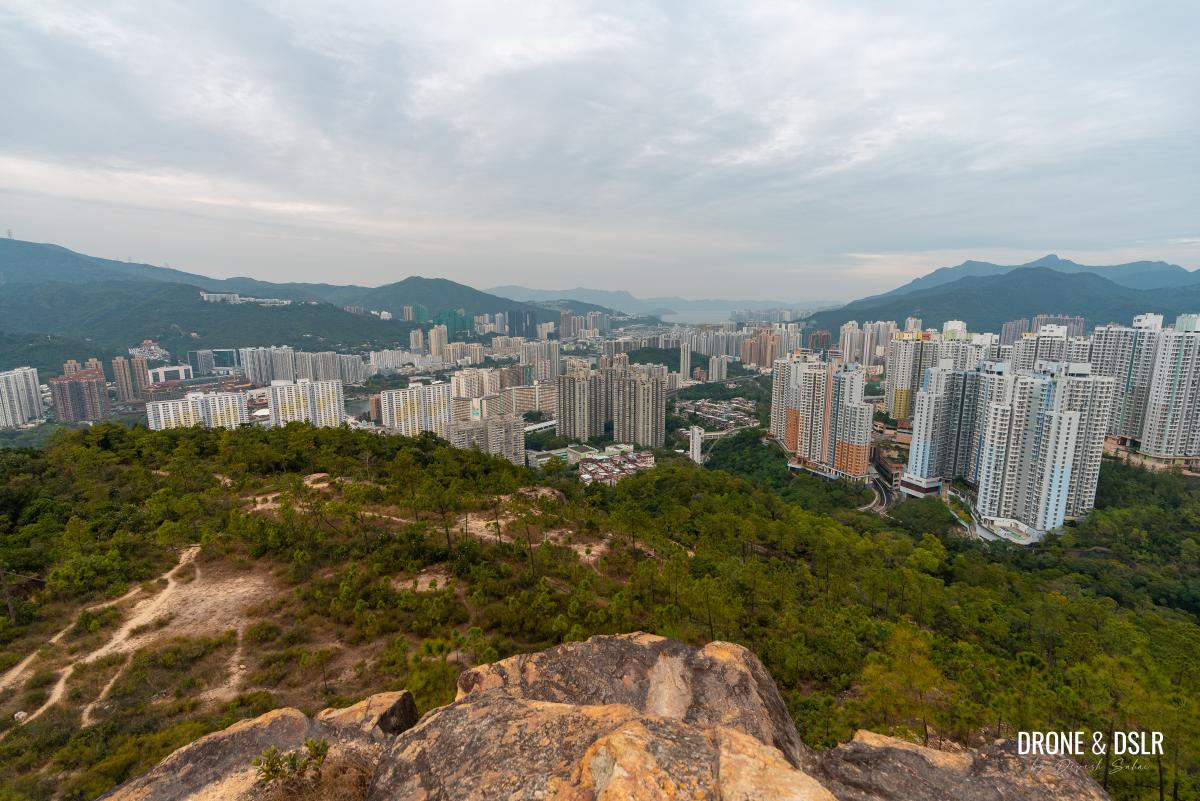
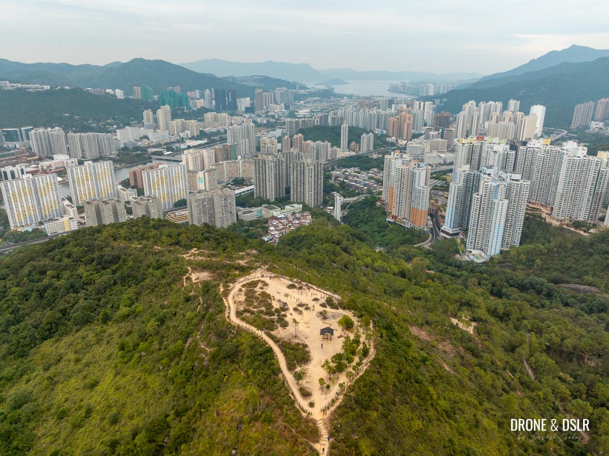
Fo Dau Ping is a hill-top plateau with panoramic views of Shatin
For those eager to tackle Kowloon’s Eight Mountains and have yet to tackle Unicorn Ridge, let’s explore how to conquer the lesser-known Chicken Breast Mountain!
About the Unicorn Ridge Hike

Unicorn Ridge Hike Trail Map, Hong Kong
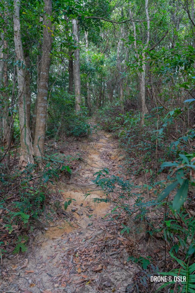
Despite the Unicorn Ridge Hike’s stats appearing easy, I would caution inexperienced hikers against tackling this route. Roughly half of the hike involves bushwhacking through an unmaintained trail, while following ribbon markers. While some may find it challenging, others will enjoy the adventure that comes with it.
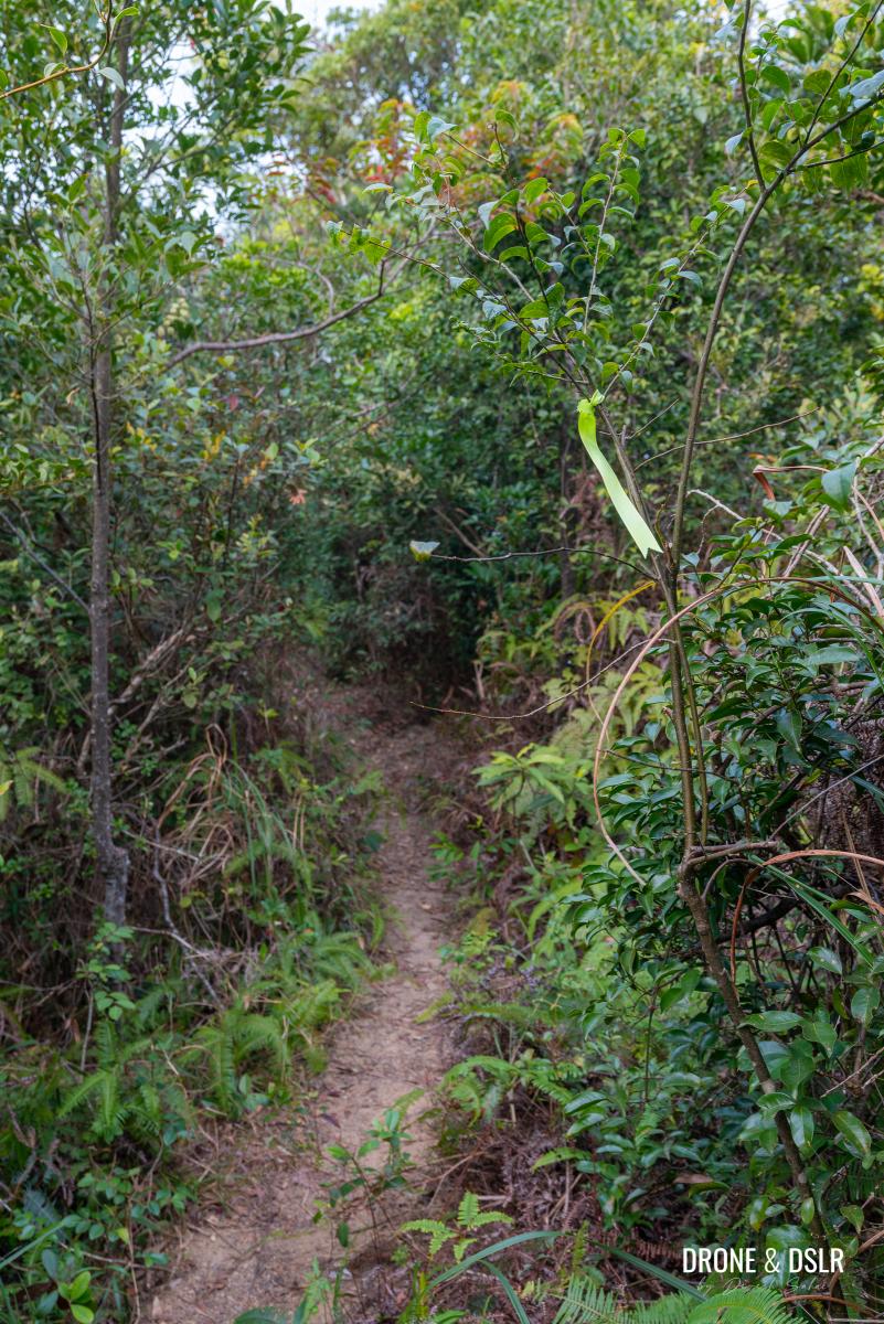
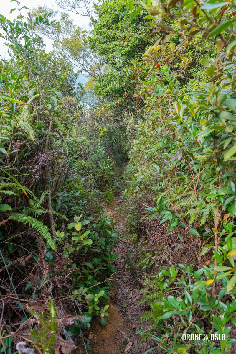
The Unicorn Ridge Hike mostly consists of such a trail
That being said, if you’re up for a challenge and don’t mind navigating rough terrain, you’ll find the hike relatively straightforward once you’re on track. Just remember to wear hiking pants to protect your legs from scratches. Else, you’ll end up like me with lots of small scratches on your leg.
When it comes to planning your route, some guides suggest starting in Shatin and ending in Wong Tai Sin. However, I strongly recommend finishing in Shatin instead. By doing so, you’ll get to enjoy the views as you descend, and get to enjoy Fo Dau Ping at the end, as opposed to the start.
Starting Point
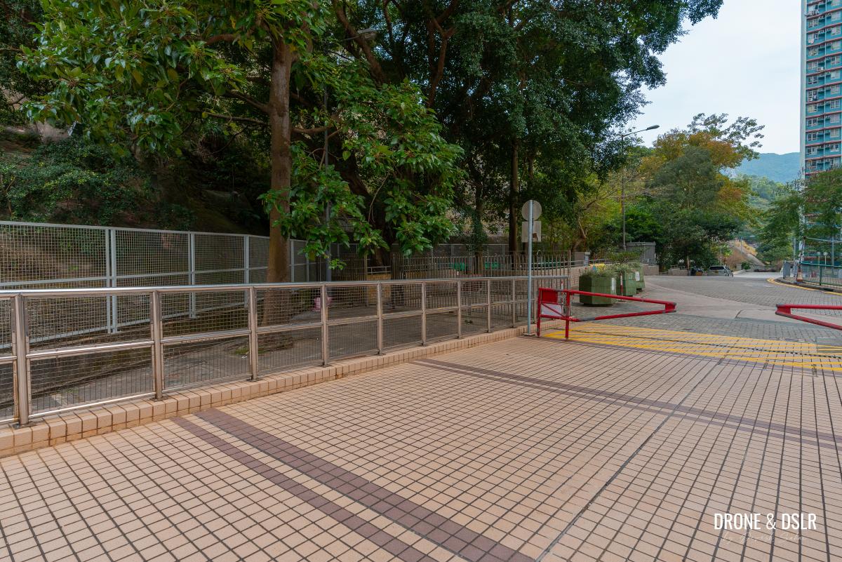
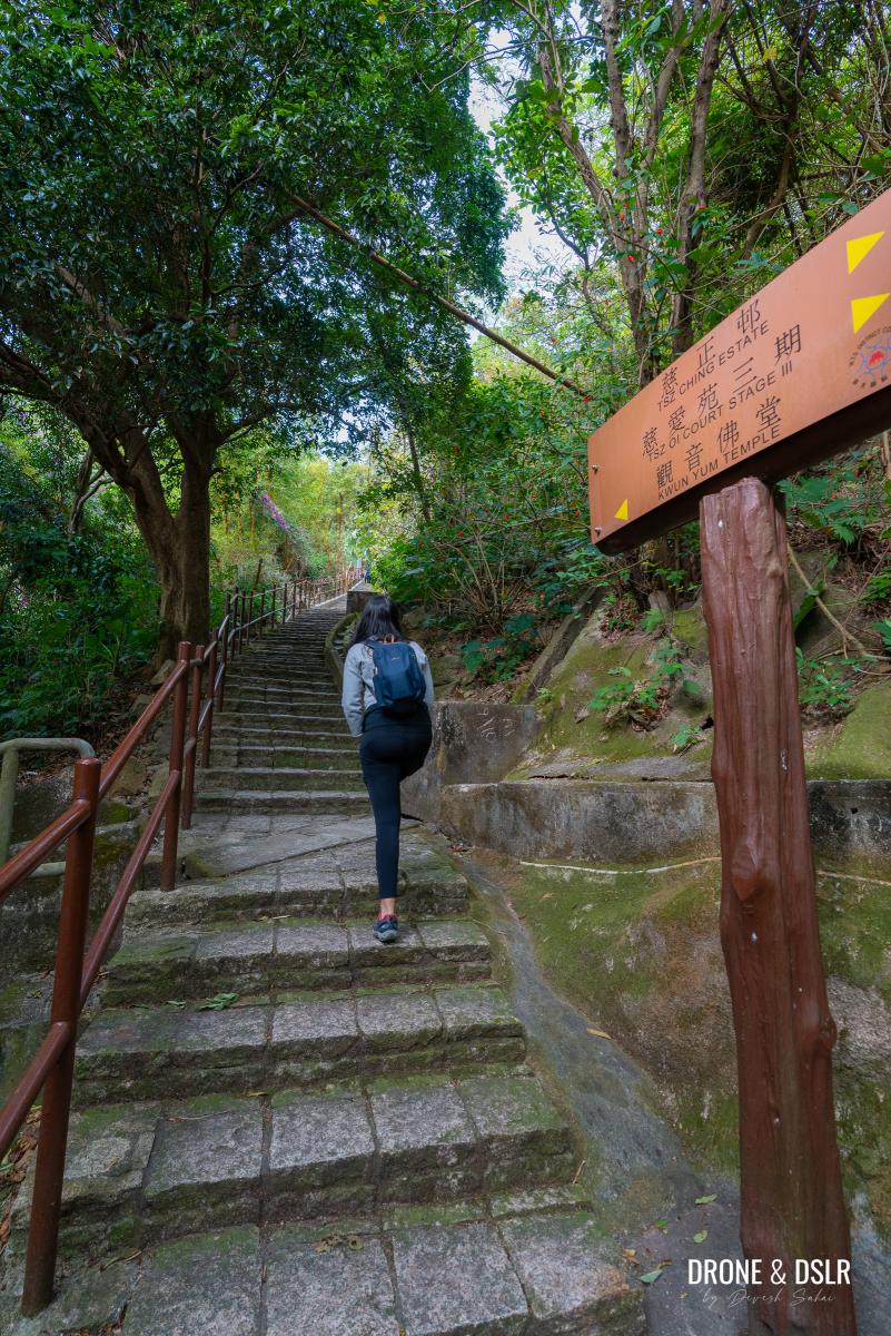
As Unicorn Ridge is situated between two popular hills, Lion Rock and Temple Hill, you have many options to choose from where to start from. However, we decided to begin our adventure at Tsz Oi Court Stage III in Tsz Wan Shan Estate for a more straightforward journey.
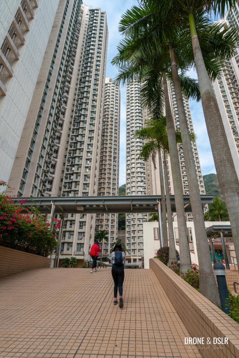
Starting our journey from Tsz Oi Court Stage III in Tsz Wan Shan Estate
To get there, you can take advantage of the numerous buses that serve this route using Google Maps as your navigation guide. Once you arrive at Tsz Wan Shan Estate, make your way to Tsz Oi Court Stage III and then proceed all the way to the back of the residential complex.
As you approach the rear of the building, notice a flight of steps along the hillside.
Go to the back of Tsz Oi Court Stage III and find the steps going up the slope
To access these steps, exit the premises and immediately turn around (U-turn) onto the slope maintenance path. Follow this path until you reach the base of the steps, where your hike begins.
-

- Exit Tsz Oi Court Stage III and make a U-turn to access the steps
-
- And the climb begins
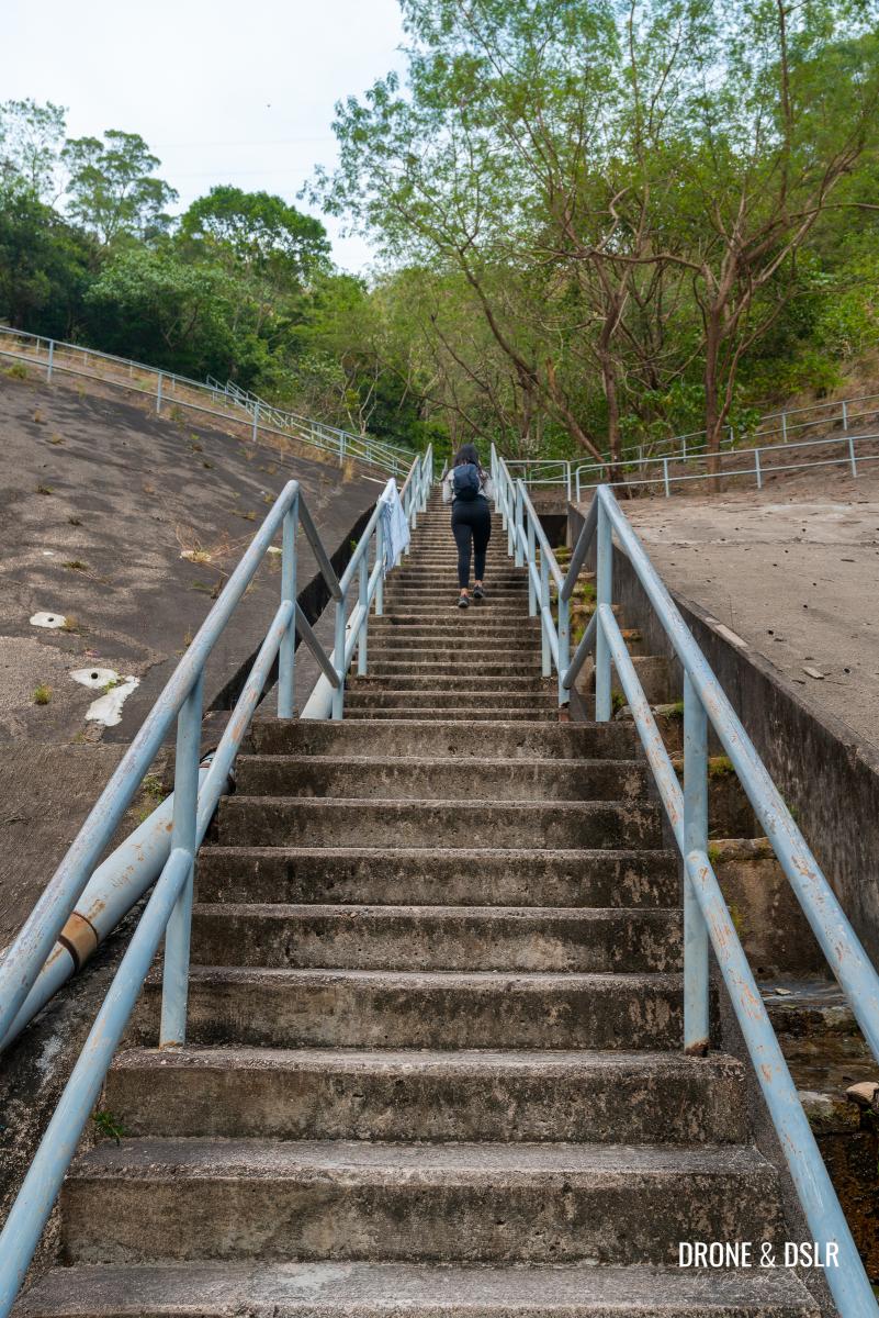
To Shatin Pass Road
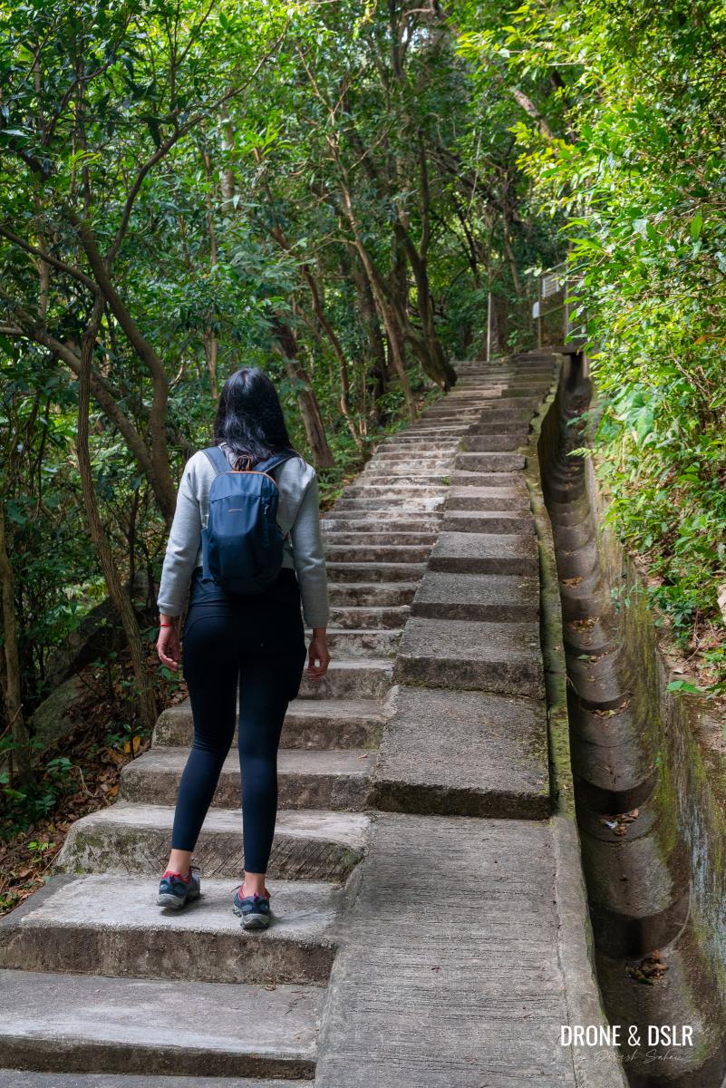
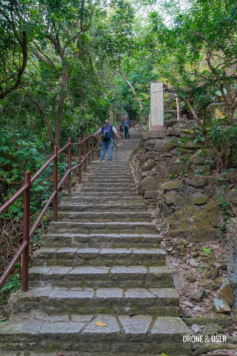
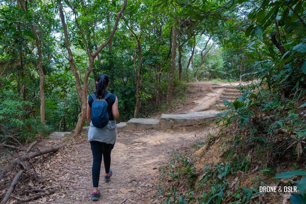
The hike starts off with a long ascent to Shatin Pass Road on steps. Lots of steps.
Keep climbing the steps to the landing
Begin your journey by slowly climbing the initial flight of steps behind Tsz Oi Court Stage III. The steps will lead you onto a path.
Turn left at the landing
As you reach this point, turn left and walk a short distance ahead until the path splits into two. Take the narrower path on the right-hand side, which follows the catchwater channel.
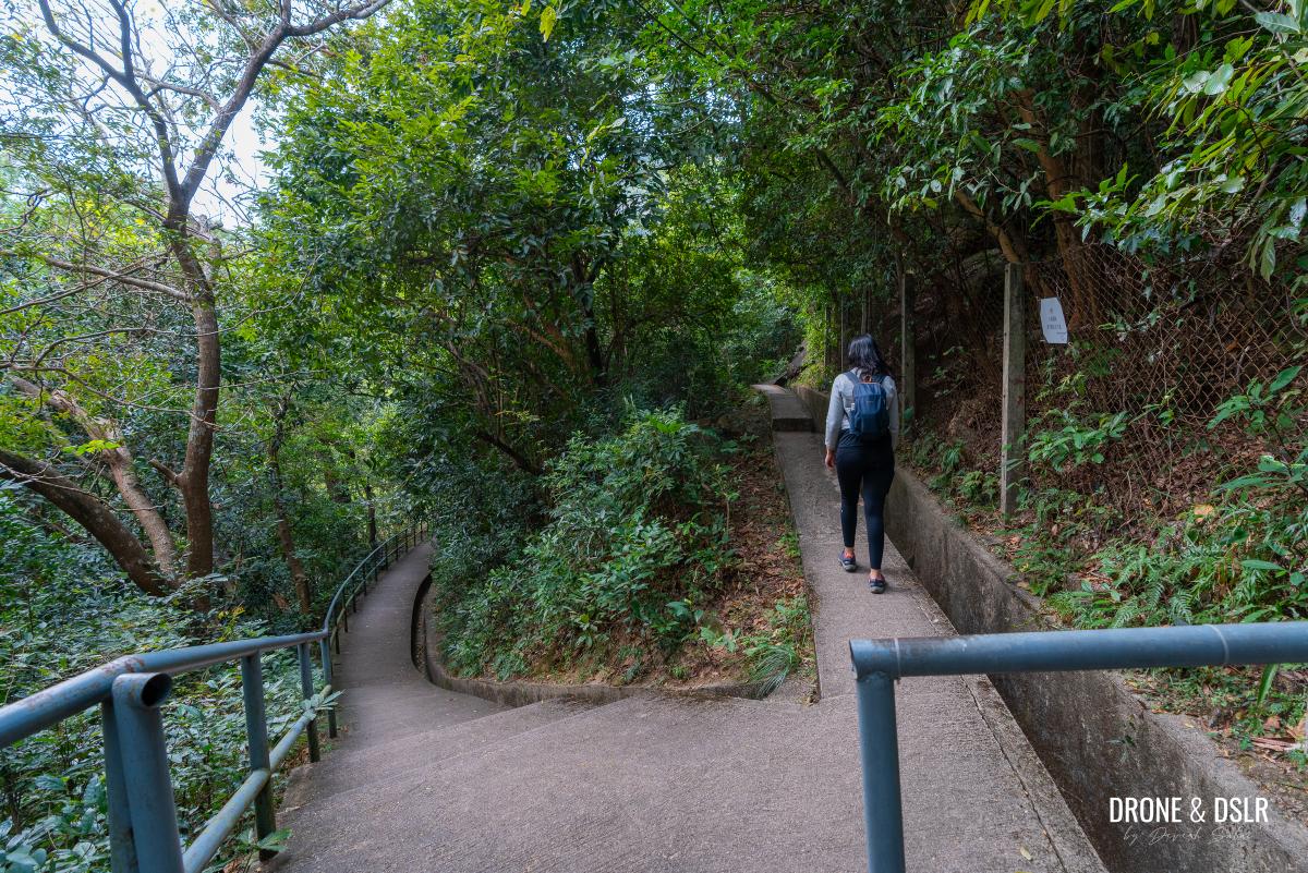
Take the narrow path next to the catchwater
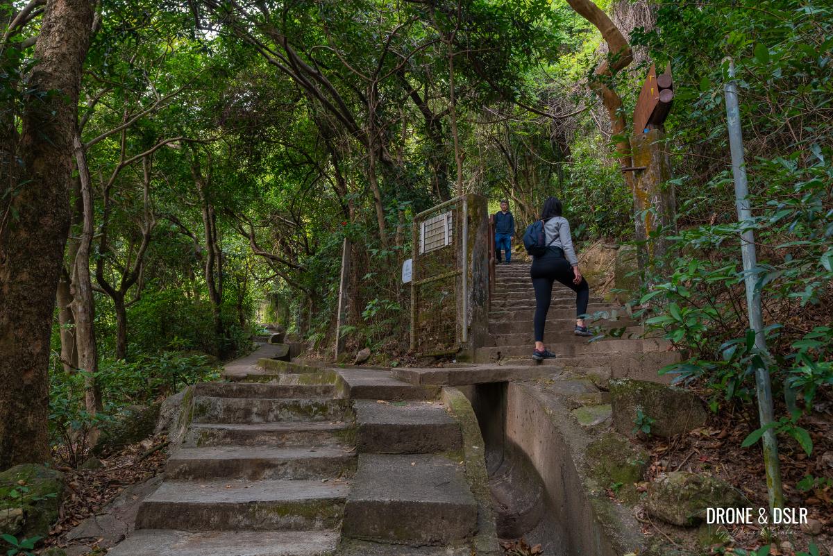
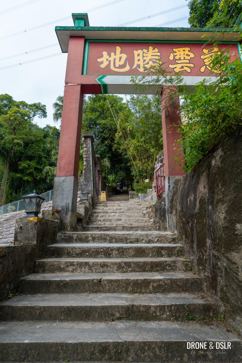
Just around the corner is the next flight of steps. Climb these and at the landing, take the steps on the right that follow the signs for Kwun Yum Temple. Keep climbing until you reach the entrance gates of the temple complex.
-
- Follow the steps up along the catchwater
-
- Turn right and keep climbing uphill
-
- Remember to follow the signs for Kwun Yum Temple
-
- The gate for Kwun Yum Temple
Although the temple complex is not visible from the steps, you can still pay your respects at the shrine located next to the steps.
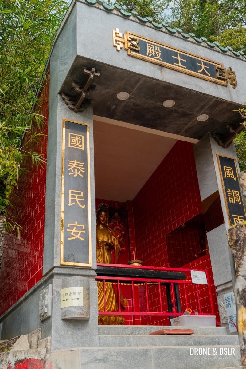
The shrine at Kwun Yum Temple next to the steps
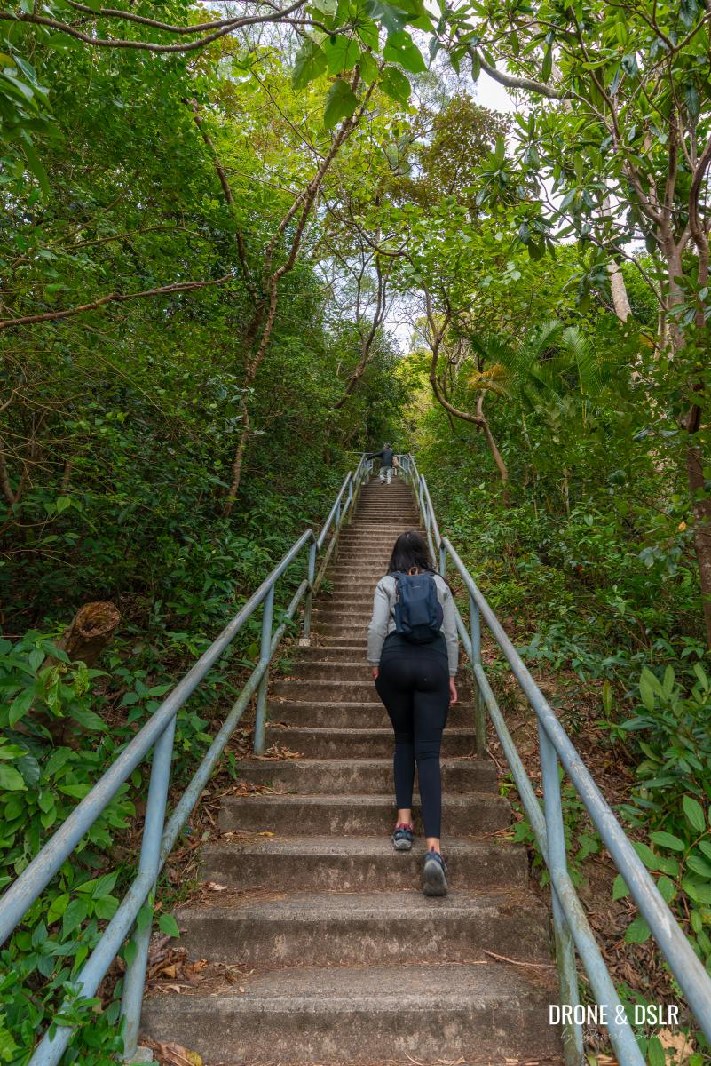
From the gates of the Kwun Yum Temple, it’s another 170 metres of intense climbing to Shatin Pass Road. Climb at a comfortable pace, and take breaks if necessary. You’ll notice a few seating areas along the steps.
-
- Keep climbing up the steps after Kwun Yum Temple

-
- Pace yourself and take breaks if needed. There are a few benches on this climb
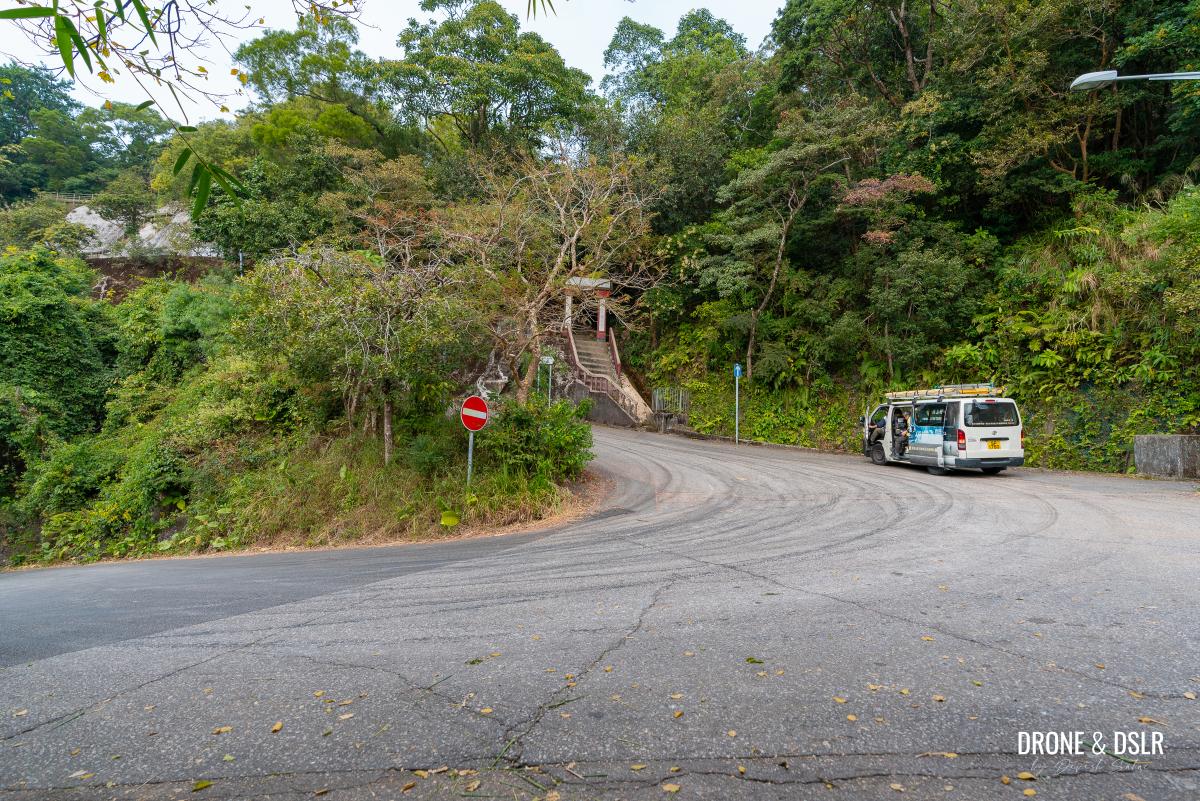
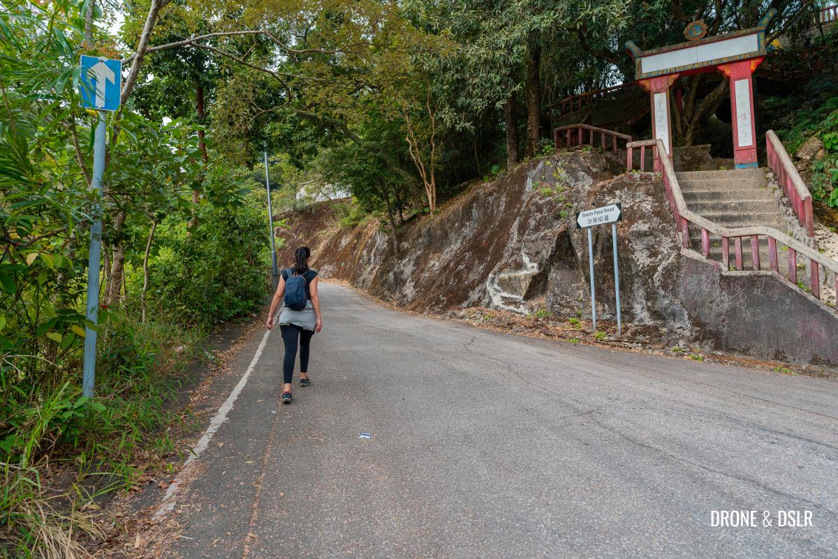
When the steps finally emerge onto Shatin Pass Road, catch your breath before continuing the hike.

The steps end on Shatin Pass Road. Turn right on the road.
Enter Lion Rock Country Park
Turn right onto Shatin Pass Road and continue walking uphill.
Keep walking uphill on Shatin Pass Road
Stay on the road as it curves sharply to the left up ahead. Ignore the steps on the right to the Lion Pavilion. Those head to Temple Hill, Tate’s Cairn, or the Tsz Sha Ancient Trail.
Walk past the steps for the Lion Pavilion
Just before the road curves again, notice the entrance to Lion Rock Country Park.
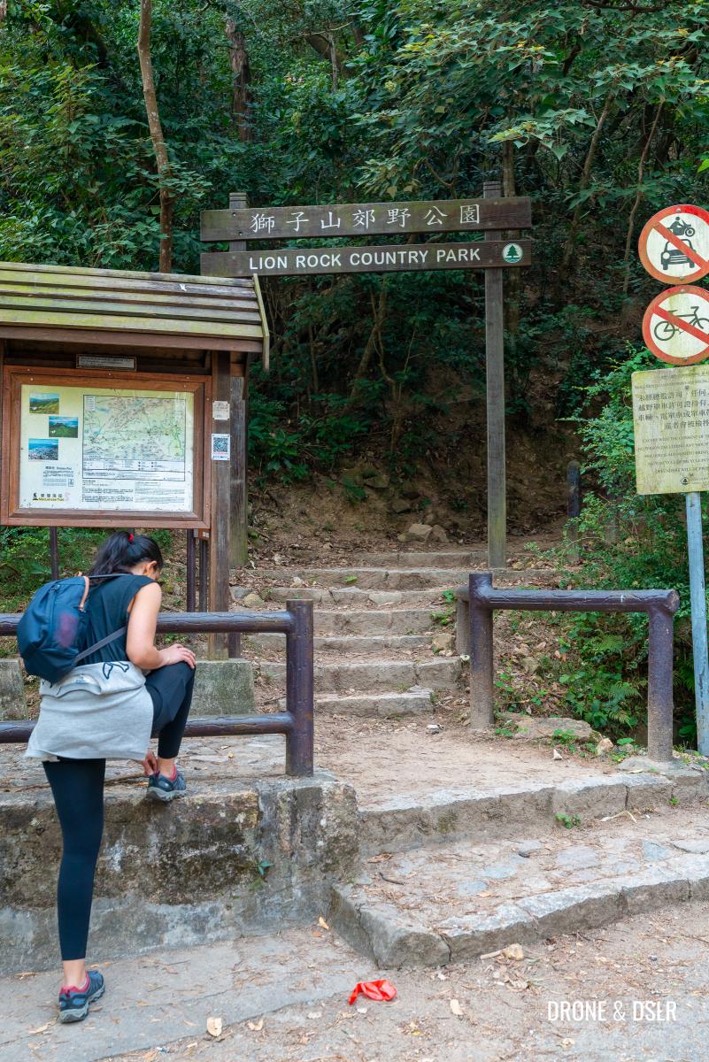
Look for the entrance for Lion Rock Country Park at the next bend
It’s time to exchange the paved road for rugged steps.
Ascend On Maclehose Trail Section 5
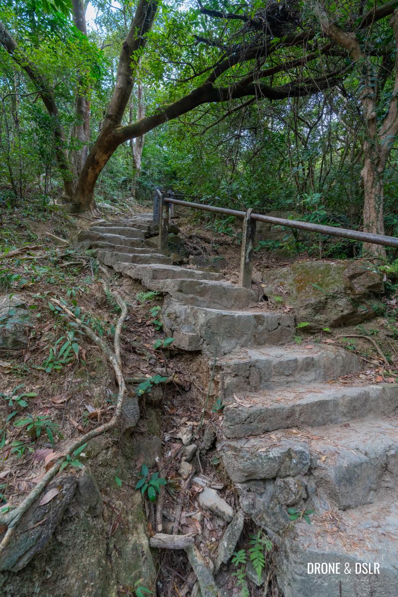
Enter Lion Rock Country Park on Section 5 of the Maclehose Trail and begin climbing the steps.
-
- Begin your ascent on Maclehose Trail Section 5
-
- The initial section of the climb is relatively steep
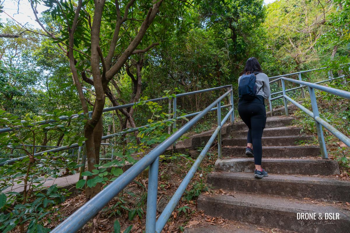
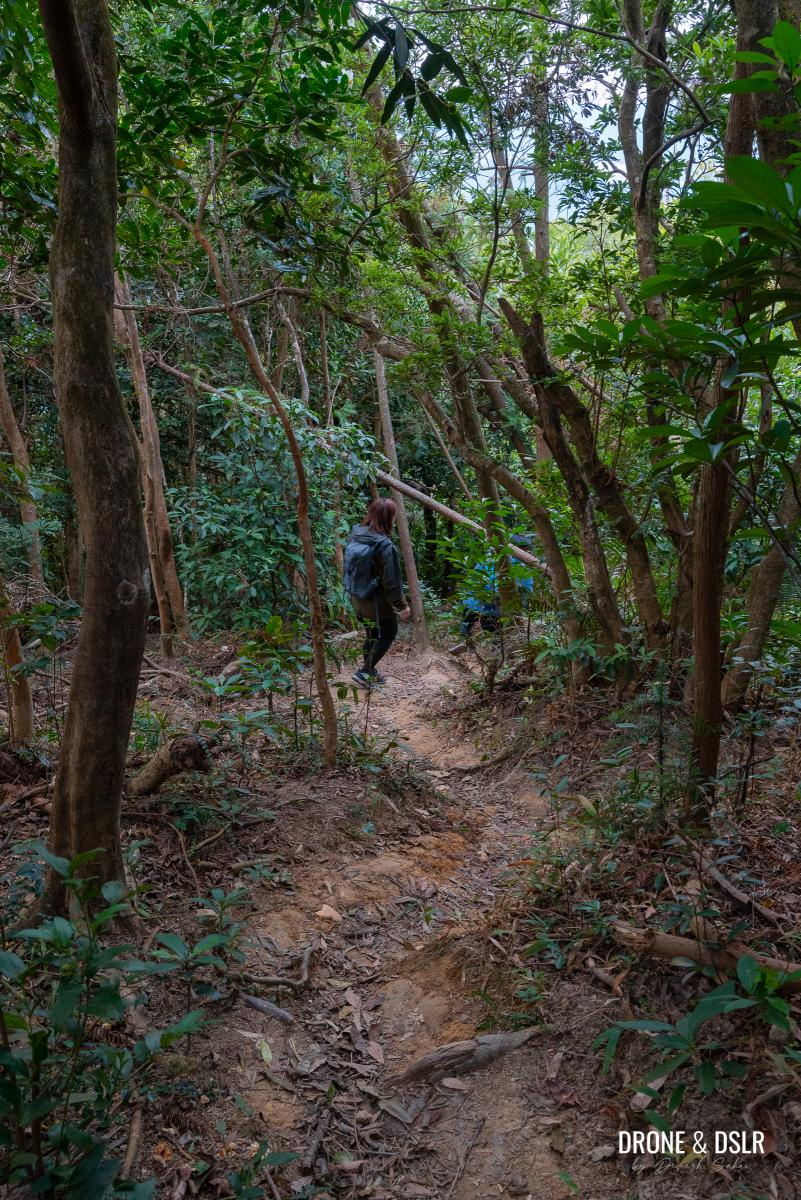
The climb is steep and rugged at first, so take your time and pace yourself. On the plus side, most of the trail remains shaded, providing a welcome respite from the sun if you’re hiking on a sunny day.

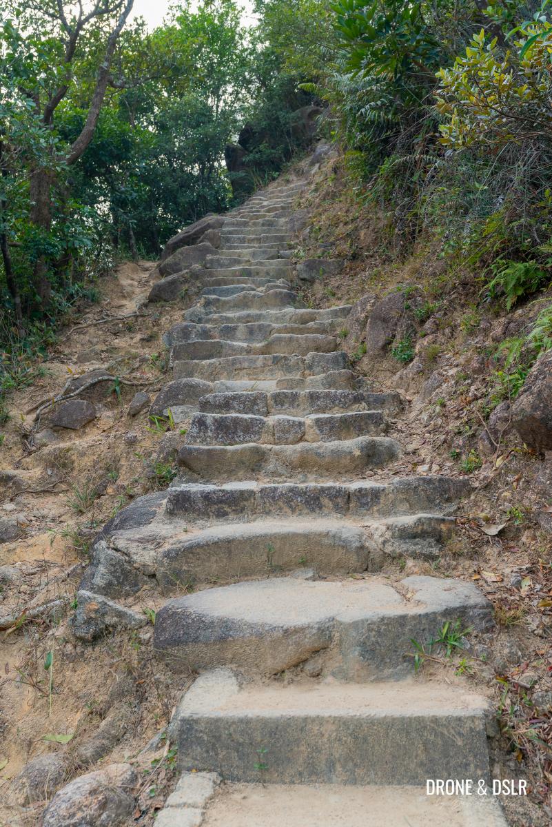
Keep climbing on Maclehose Trail Section 5
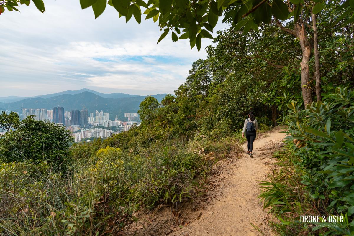
As you ascend, the trail begins to twist and turn, with limited views until higher up. However, as you gain elevation, the scenery opens up, and you’ll start to see more breathtaking views.
-
- Winding steps

-
- Finally, some views of the city below
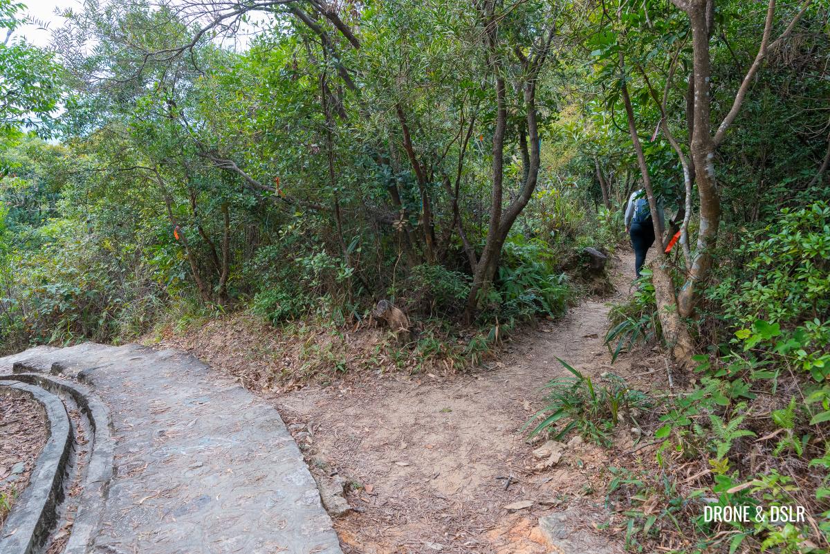
After navigating the rugged steps, the trail levels out for a moment before revealing an unmarked entrance to Unicorn Ridge.
This is the first entrance to the unmarked trail to Unicorn Ridge. My suggestion, skip this one.
However, I wouldn’t recommend taking this path — there’s another entrance about 200 metres ahead. Personally, I prefer to stay on the Maclehose Trail as long as possible, rather than bushwhacking my way through the wilderness.
As you continue along the trail, you’ll come across a set of easier steps that offer stunning views of the city. These are definitely worth taking your time to appreciate!
-
- Beautiful views of the city as you climb
-
- Take a moment to appreciate the views from here
-
- This section of the climb has the best views
After the scenic steps, the trail once again flattens as it enters a canopy of trees.
-
- The trail finally flattens
-
- Back into the shade

Keep walking with a watchful eye towards the right. You’ll notice the slightly more visible unmarked trail further ahead.
This is the second entrance on an unmarked trail to Unicorn Ridge. Enter here.
It’s time to leave the comfort of the Maclehose Trail behind, as you make your way to Unicorn Ridge.
To Unicorn Ridge
As you enter the unmarked trail, follow it as it winds through trees and makes a brief ascent before opening up to a clearing.
-
- Make your way to Unicorn Ridge
-
- Follow the unmarked trail through the trees
-
- The trail emerges at this clearing
Note that this is the same clearing you would have arrived at if you had taken the first unmarked trail at the end of the rugged steps.
Follow the ribbon trail on the opposite side (next to the rocks) to continue towards Unicorn Ridge
You’d be tempted to think that this clearing is Unicorn Ridge, but it’s not. Located another trail on the opposite side (next to the rocks) and follow it to exit the clearing.
To continue on to Unicorn Ridge, look for a trail on the opposite side of the clearing, located near some rocks. Follow this new trail as it leads you out of the clearing.

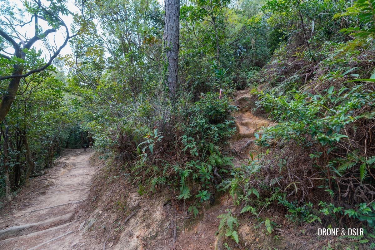
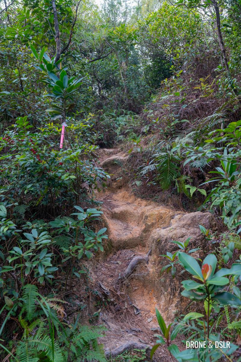
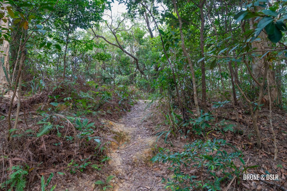
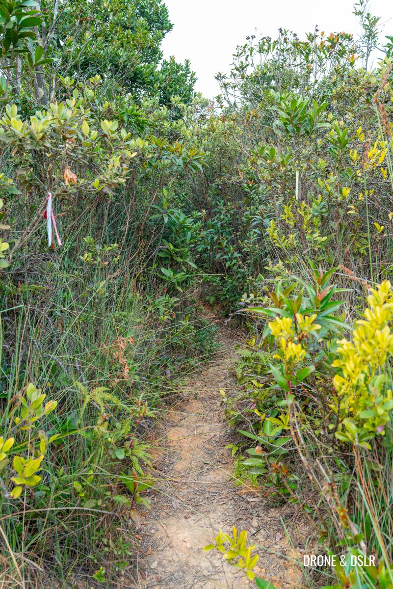
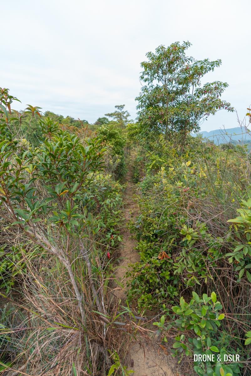
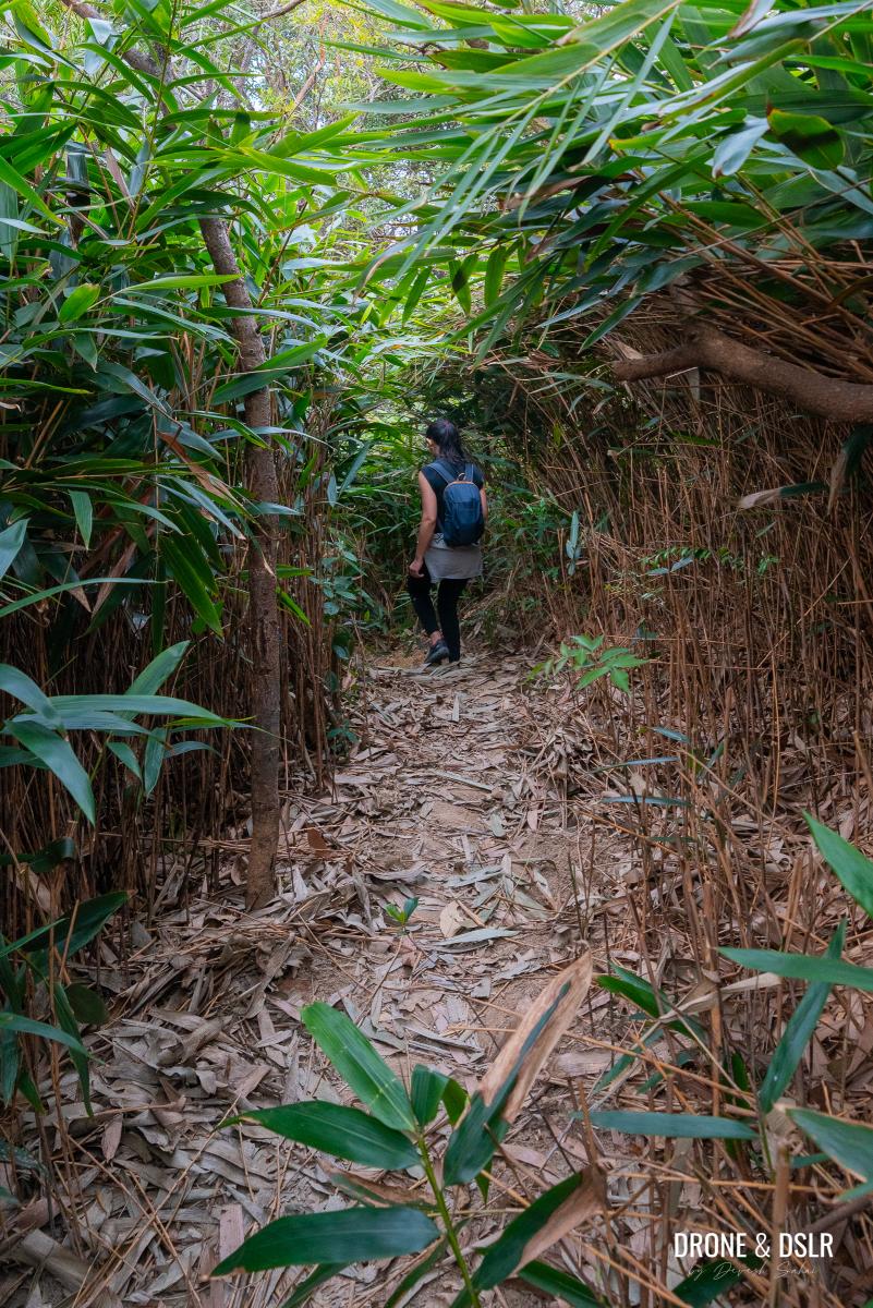
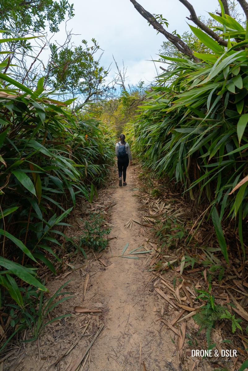
The vegetation becomes thick from this point
The trail then continues through a dense thicket of bushes and shrubs, remaining relatively flat. What’s more, you might not even notice when you cross Unicorn Ridge, 50 metres ahead, as there aren’t any clearing markings or signs.
Unicorn Ridge is located to the left of the bushes here. There weren’t any views, so we kept walking.
So, what’s next?
To Crown Point
After Unicorn Ridge, the trail begins its gentle descent. Given the nature of the trail, I’d urge you to keep an eye on the ground at all times.

Keep following the ribbons past Unicorn Ridge
At this point, you’ve begun your descent down the north ridge of Unicorn Ridge.
Keep following the trail through the bushes and thickets
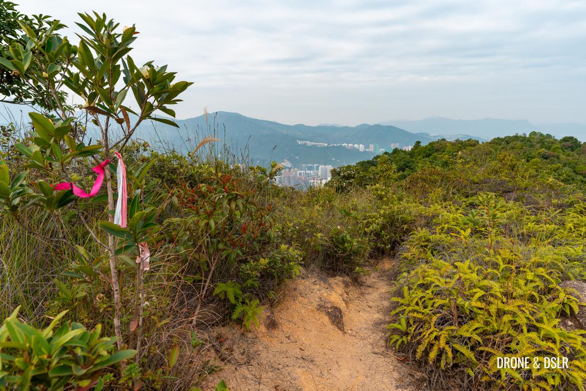
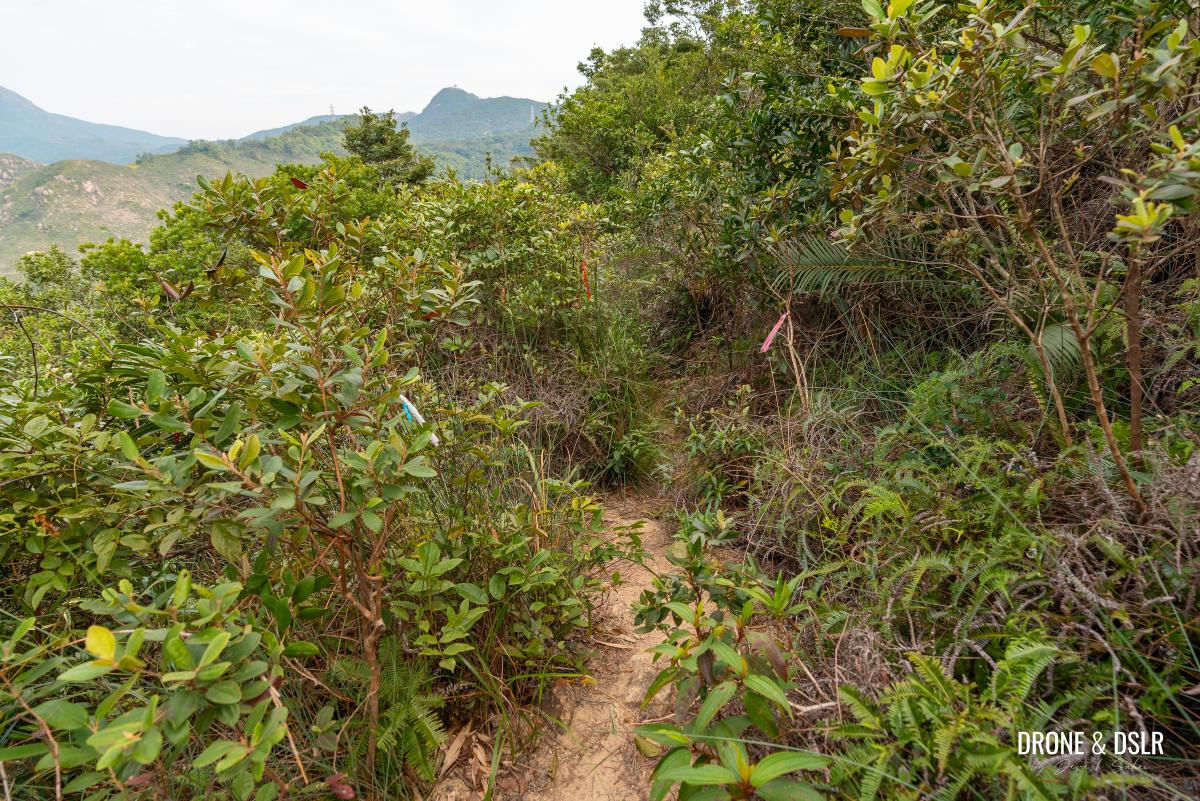
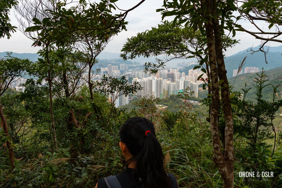
Continue following the trail with the ribbons till you emerge at another clearing. From here, you’ll get your first glimpse of the hills on either side of Shatin, from Ma On Shan in the distance, to Tai Mo Shan, and Needle Hill to the left.
The trail emerges from the vegetation onto another clearing
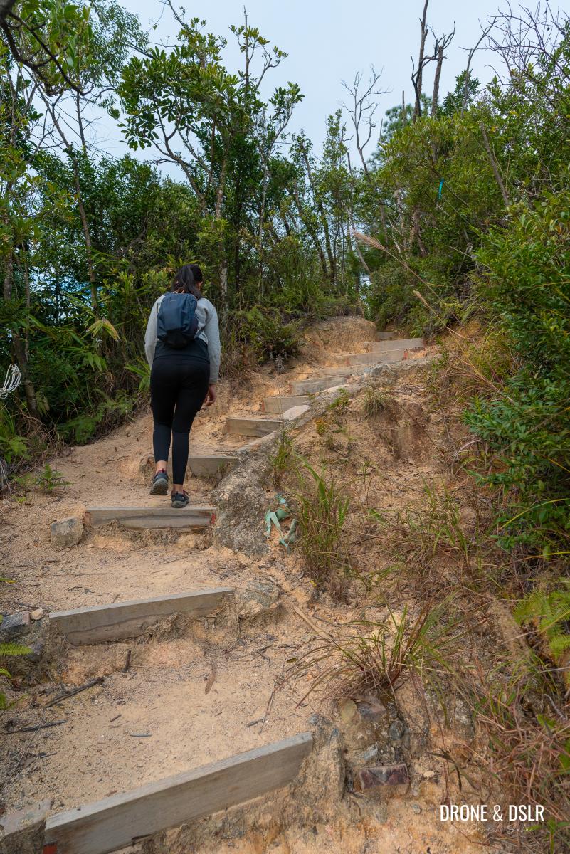
As you make your way down this section of trail, it becomes narrower and steeper in places. Be prepared for some tight squeezes.
Keep following the trail downhill
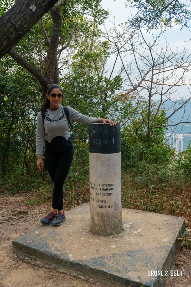
Keep descending till you arrive at another, much nicer clearing. At 406 metres, this is Crown Point, the second hill on the Unicorn Ridge Hike.

The next clearing is Crown Point (406 m). Enjoy the views from here.
It’s an enjoyable spot to take a break and appreciate the stunning views of the surrounding hills before continuing on with your journey.
To Cat Rock
After the summit of Crown Point, the trail follows a similar path that you’ve already encountered.
Follow the ribbons downhill from Crown Point
As you continue on, the trail descends through a thicket of bushes until a small hill appears ahead.
An approaching hill. The trail quickly descends before climbing this hill on the other side.
From there, it enters a shaded section and drops into a small valley before climbing up to the top of the hill.
-
- Keep following the trail
-
- The trail briefly enters below the tree line before climbing the mound
-
- A brief climb uphill
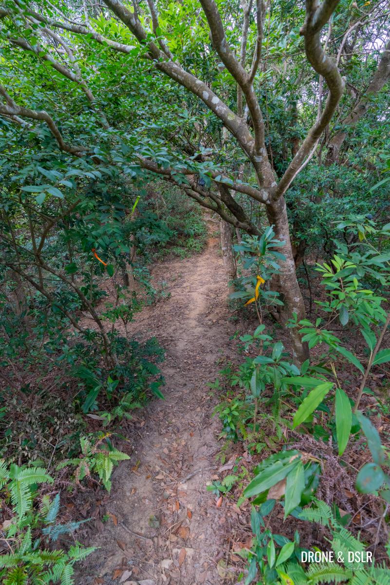
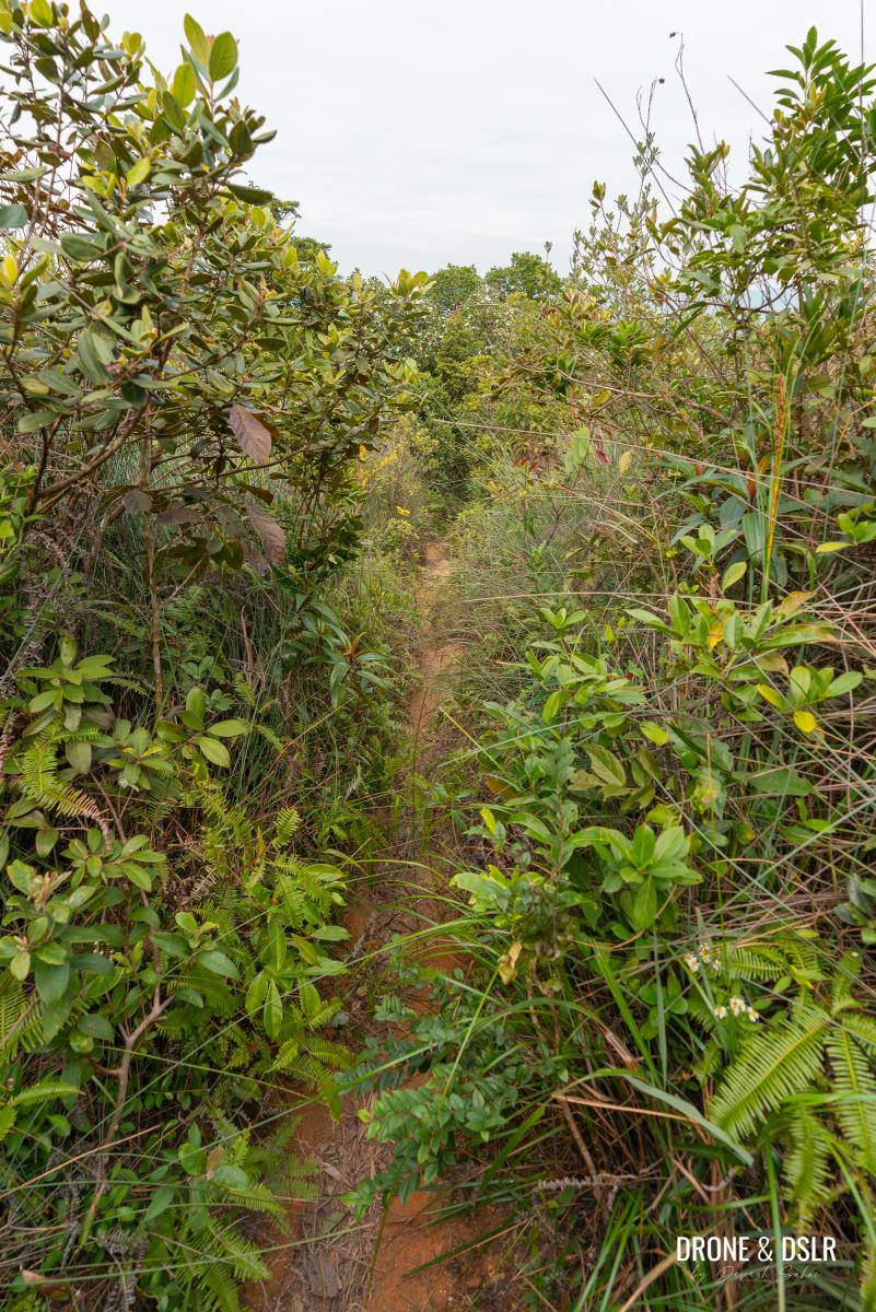
From this point, the trail remains shaded as it slowly descends on the other side of the hill. Keep following the ribbon markers as you make your way, navigating between trees and bushes on either side. This section of the hike is covered in thick vegetation.
-
- The vegetation thickens again

-
- The thick vegetation continues for a brief period
The trail then emerges from the shaded section, offering views of Shatin in the distance again. At this point, the trail splits into two paths. To stay on track, take the trail that leads to the right.
-
- Once the vegetation ends, walk to the end of the trail and then turn right

-
- Turn right and follow the ribbon markers
Continue following the ribbon markers as you descend along the right-hand path. After about 70 metres, the trail naturally turns left and continues on its way.
The trail then curves left and continues through another patch of thick vegetation
After another 100 metres, pause for a moment to take in the view behind you. You should be able to see a distinctive rock formation — known as Cat Rock.

View of the Cat Rock
Although I couldn’t find any feline resemblance, it’s still a decent spot to take a short break.
Join Wilson Trail Section 5
This ordeal of cutting through a narrow unmarked trail is now on its last leg.
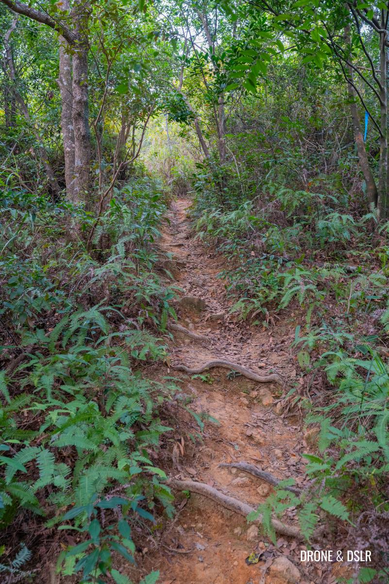
The trail begins to descend sharply after the Cat Rock viewing point
From the Cat Rock viewpoint, the trail drops back down into the tree line and begins a steep descent.
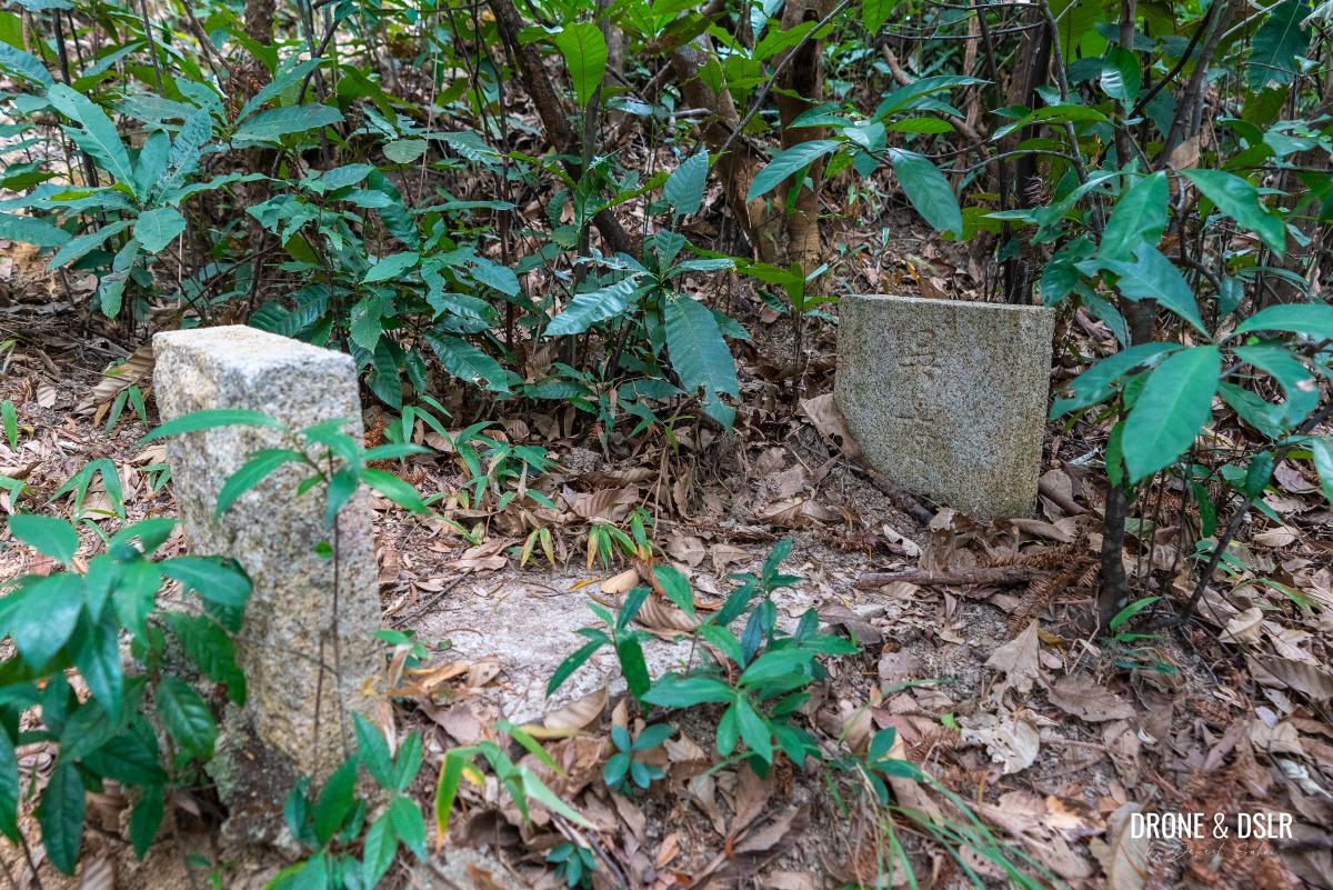
I noticed this interesting structure, sticking out of the ground
Along the way, the trail descends through a dense patch of giant leaf bamboos before continuing its steep descent.
-
- The trail then enters a bamboo forest
-
- More steep descent after the bamboo forest
The trail mercifully ends at a clearing. At the clearing, turn right and step onto Wilson Trail. From here on out, you can finally leave the narrow unmarked trails behind.
-
- And finally, the unmarked trail ends at this clearing
-
- Turn right at the clearing and join Wilson Trail Section 5 heading downhill
To Mau Tsai Shan
Once you step onto Wilson Trail, turn left and continue down the steps.
Walk down or take a quick break at the resting area on the right
There is a resting area on the side of the steps, just as you start walking downhill. Although the views are obscured by tree branches, feel free to take a quick break if necessary.
Taking a quick break at the resting area
If you don’t feel like taking a break, keep walking down the steps. After about 120 metres, the trail levels out briefly beside another unmarked trail on the right.
-
- Continue following the steps downhill

-
- Spot this ribbon next to another unmarked trail, and exit Wilson Trail onto it
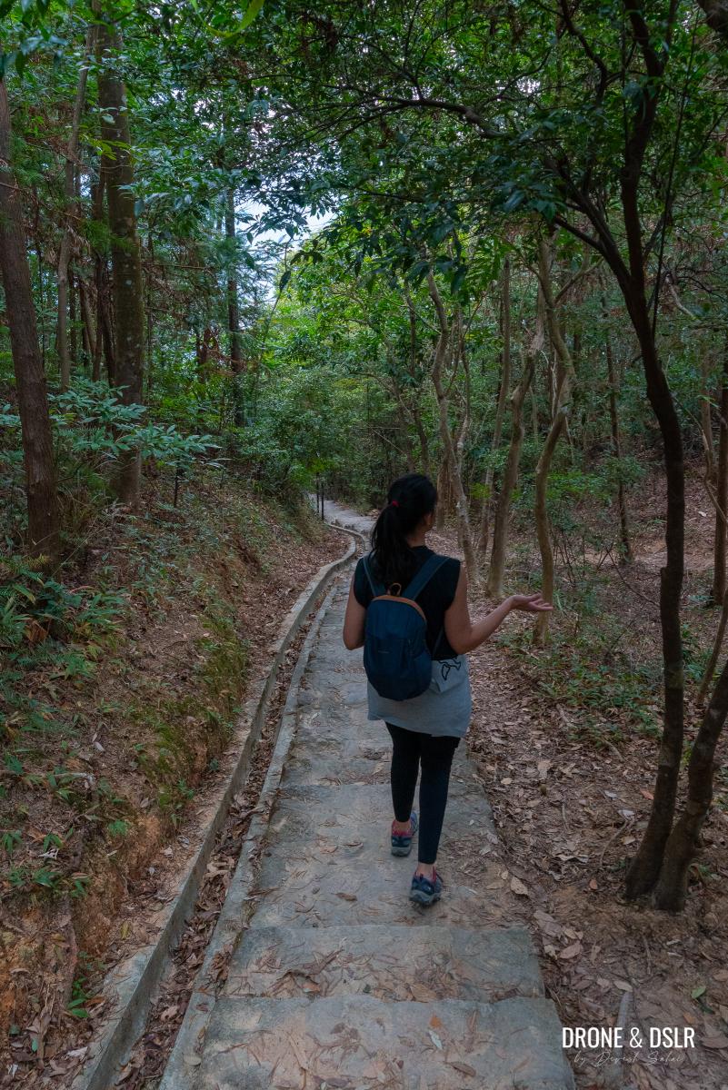
At this point, exit Wilson Trail and enter yet another unmarked trail — this one is easier to navigate than before, with less overgrown vegetation.
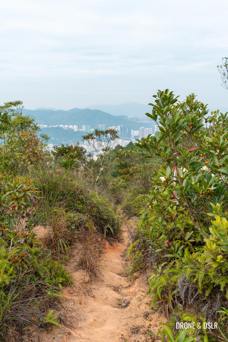
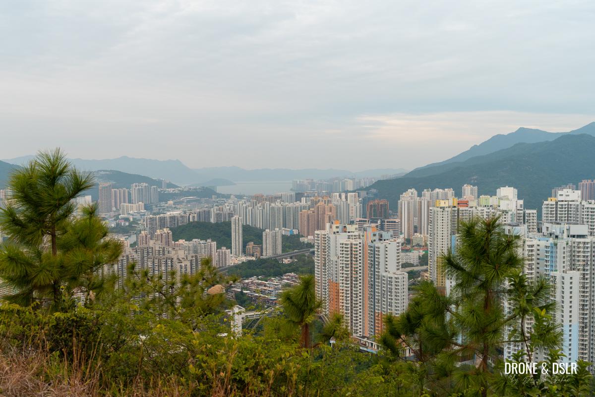
As soon as you step onto this trail, you’ll be rewarded with views of Shatin, with Tai Mo Shan, and Needle Hill in the distance.
The initial section of this trail offers gorgeous views
Continue walking on this trail as it rises up a few steps and passes through a patch of giant leaf bamboo plants. The trail will eventually lead you to Mau Tsai Shan.
-
- A brief climb uphill on this trail
-
- And pass between another bamboo forest
-
- Made it to Mau Tsai Shan
At an elevation of 258 metres above sea level, Mau Tsai Shan marks the third and final hill on the Unicorn Ridge Hike.
To Fo Dau Ping
The final section of the Unicorn Ridge Hike almost makes up for all the off trailing and bushwhacking so far.
Follow the trail as it leaves Mau Tsai Shan towards a transmission tower. As you walk around the transmission tower, the trail opens up to the views of Shatin below, all the way to Tolo Harbour.
Continue following the trail downhill from Mau Tsai Shan, where the views really open up
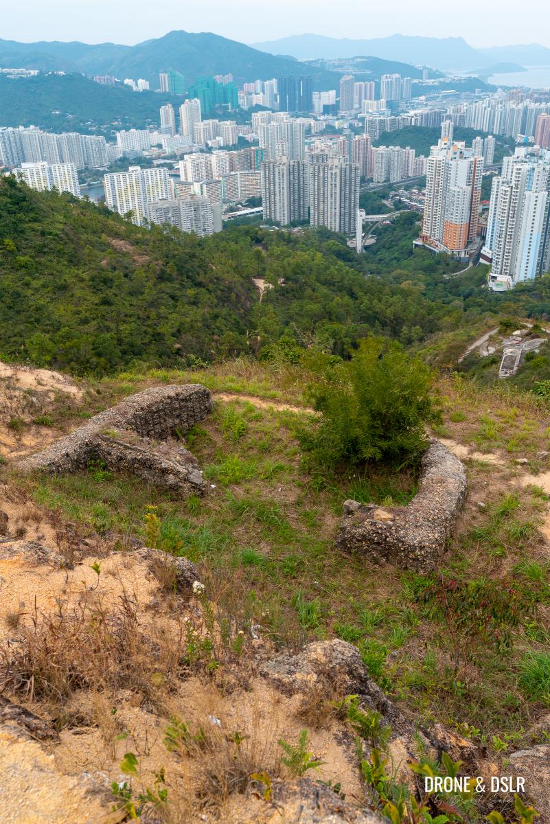
As you walk down the steps, you’ll arrive at a clearing, from where you get unobstructed views. And if you stand at the edge of this clearing and look directly below, you’ll notice the ruins of an old pillbox from WWII.
-
- Great views of Shatin from this clearing
-
- Enjoying the views from the clearing after Mau Tsai Shan
-
- The pillbox right below the clearing
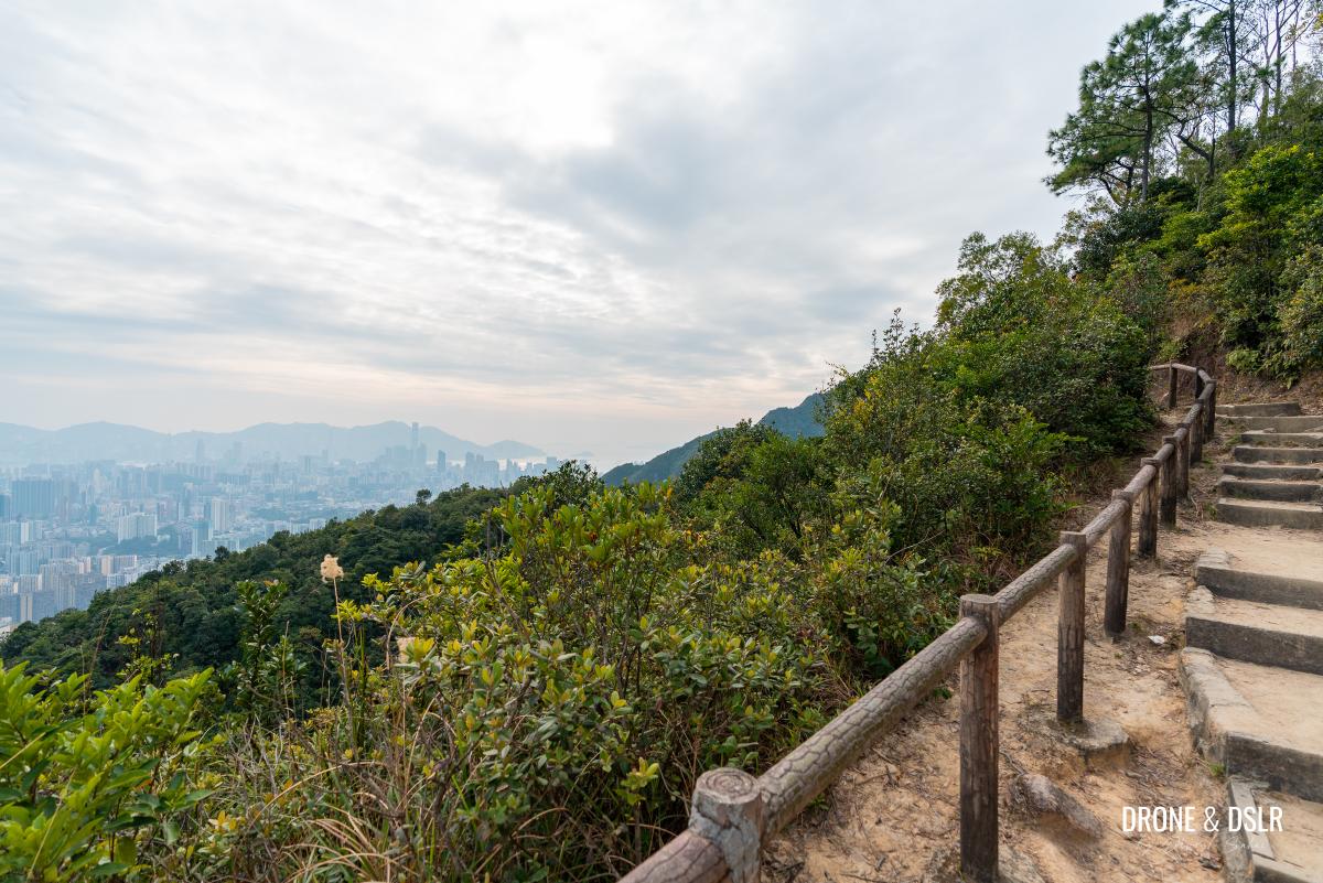
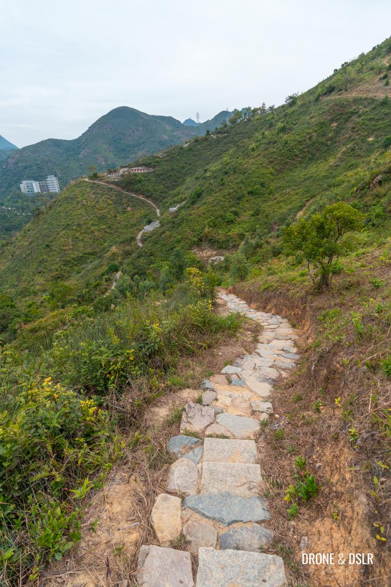
From the clearing, follow the path as descends onto a very scenic ridge.
-
- Walk down the steps from the clearing towards this picturesque ridge

-
- Walk across this ridge
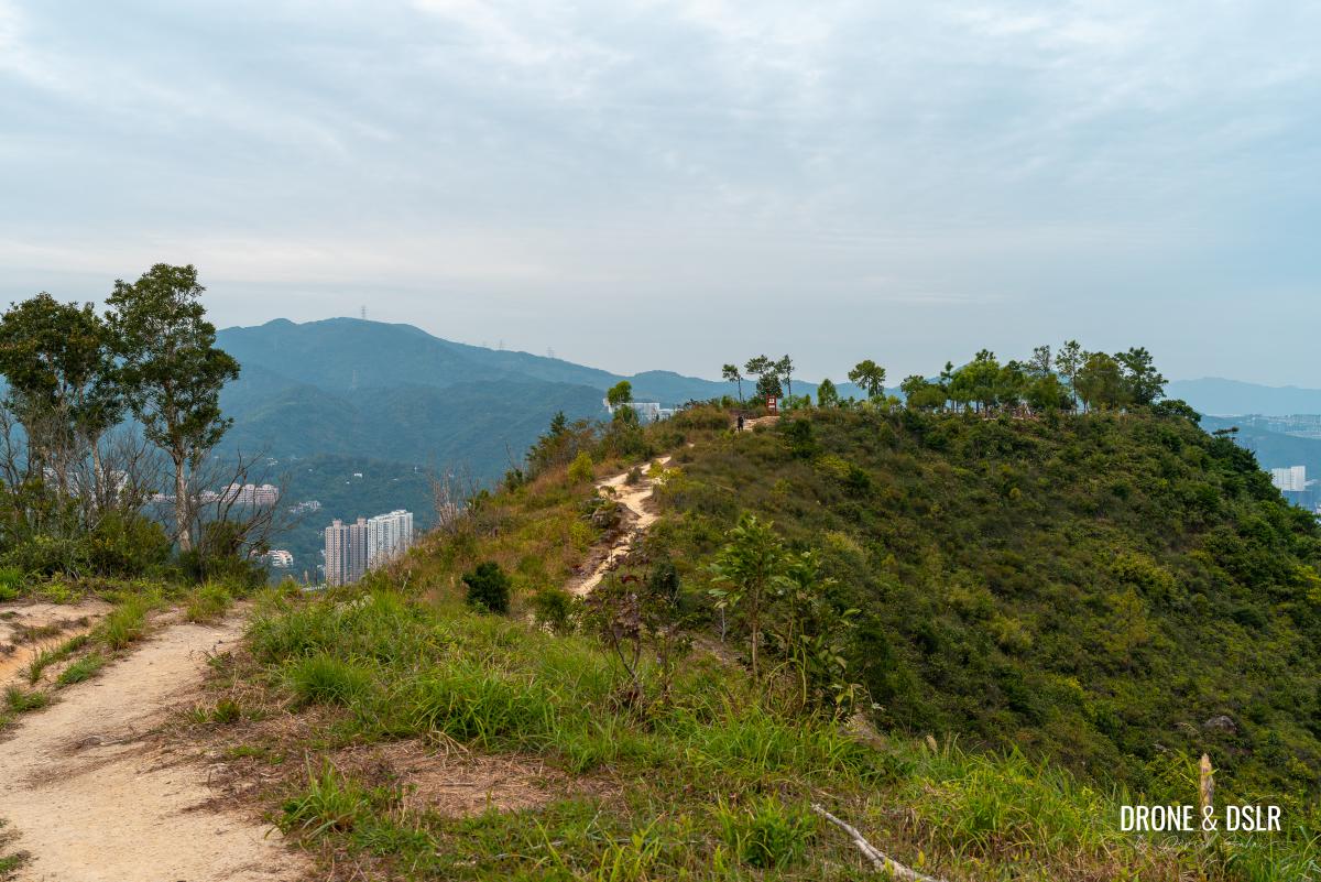
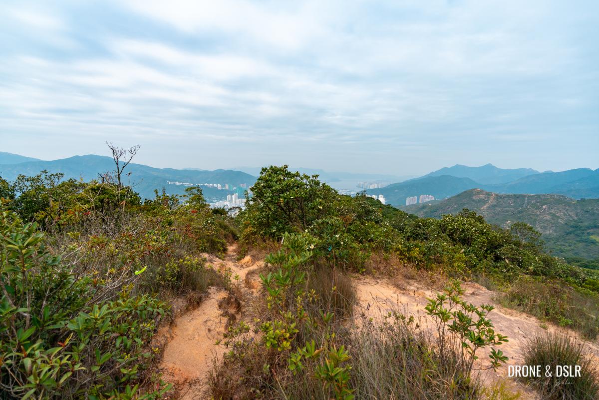
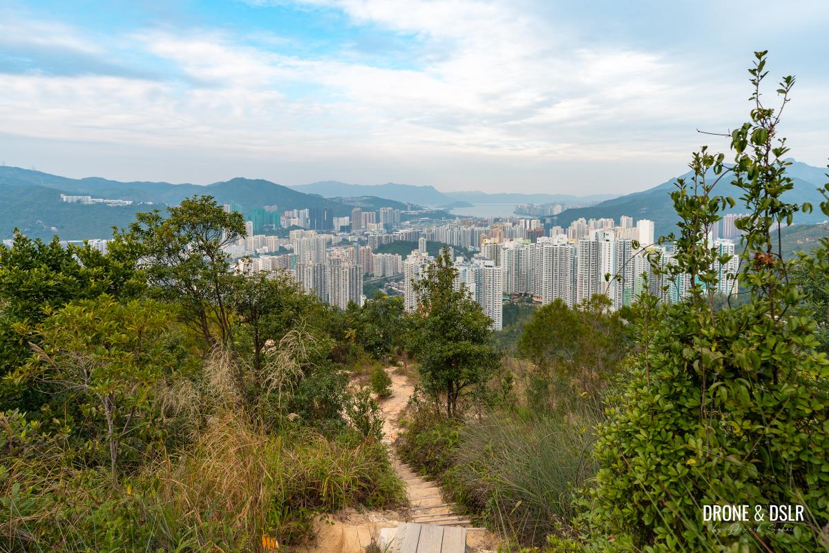
Walk across the ridge, and step onto Fo Dau Ping on the other side.
-
- Climb the steps at the end and step onto Fo Dau Ping
-
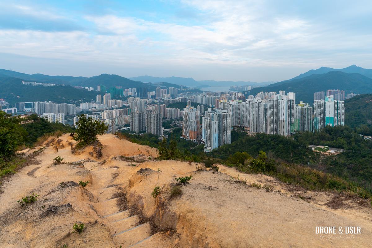
- Fo Dau Ping is a large hill-top plateau with panoramic views

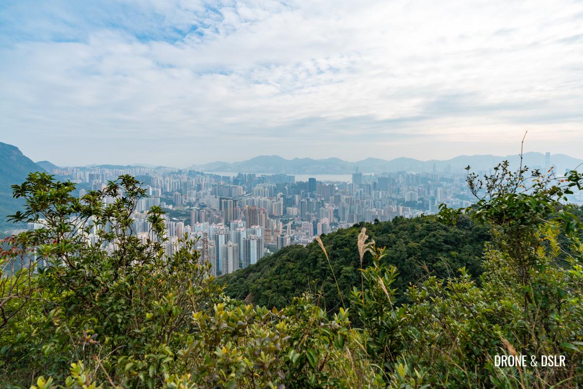
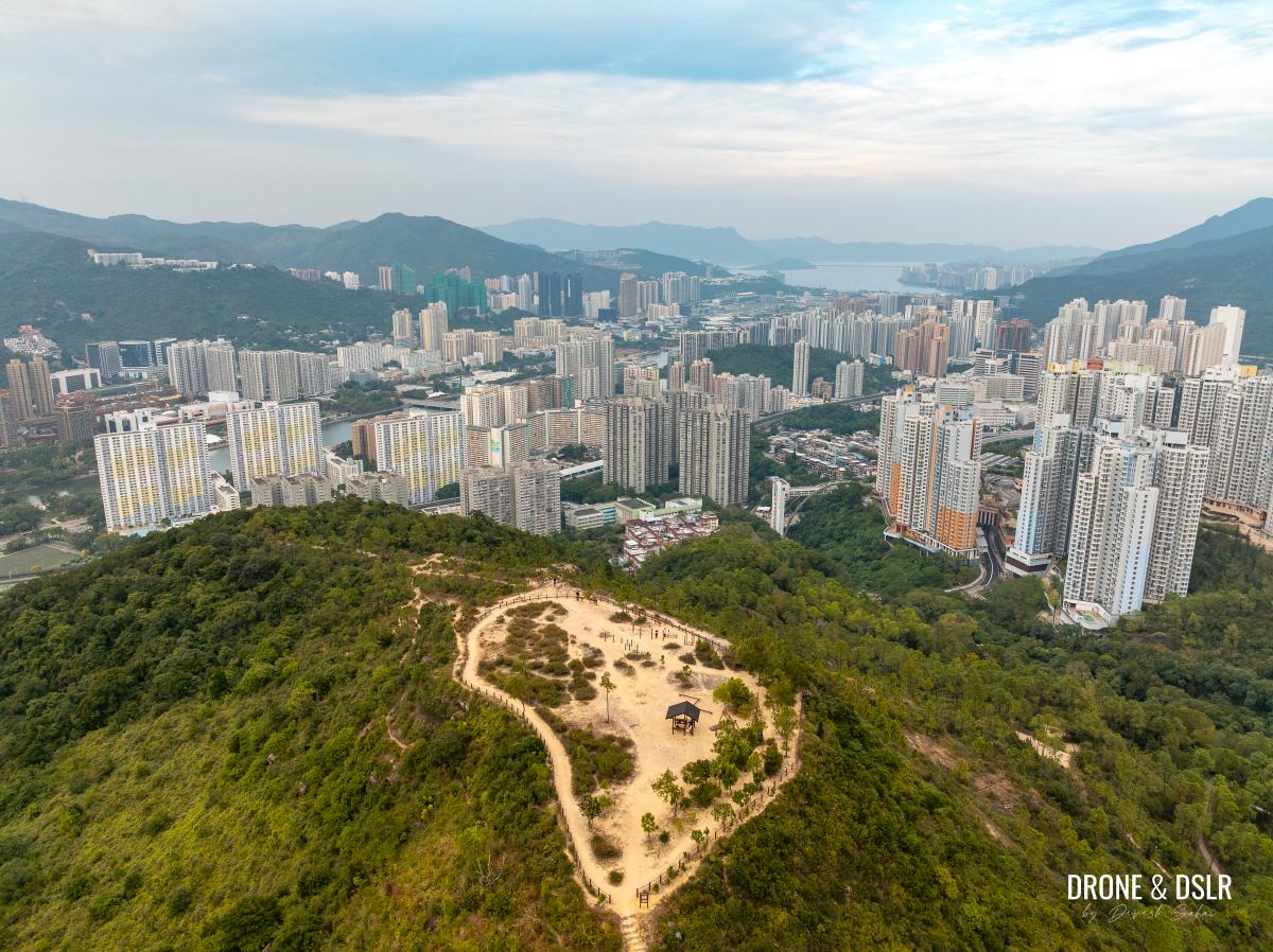
Fo Dau Ping is a large plateau, on top of a hill overlooking Shatin. It’s location, at the south-end of Shatin, provides stunning views of the valley below, all the way to Tolo Harbour.
-
- Aerial view of Fo Dau Ping
-
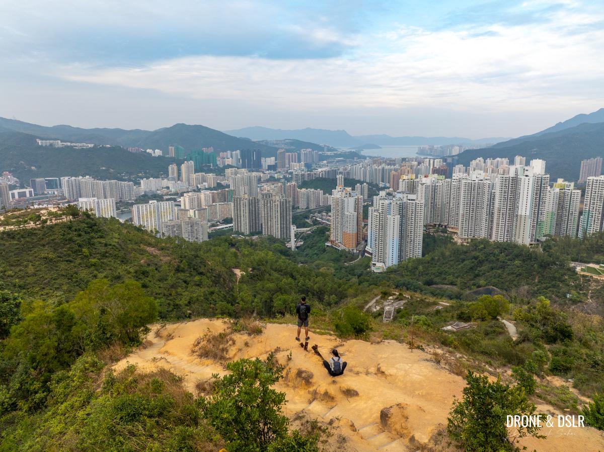
- Fo Dau Ping is the perfect place to relax and soak in the views at the end of the Unicorn Ridge Hike

-
- Views of Shatin and beyond from Fo Dau Ping
The plateau consists of multiple benches and seating areas, public exercise equipment, and 360 degree views.
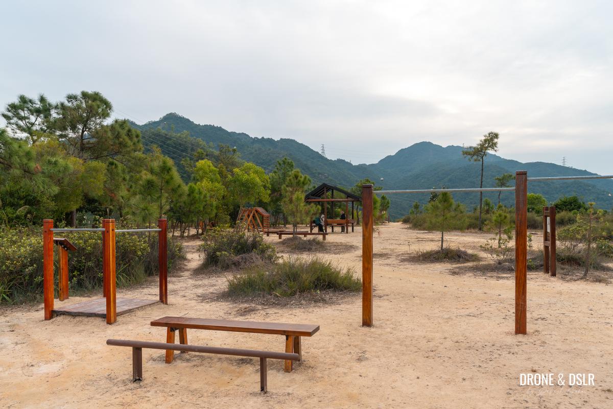
Another view of Fo Dau Ping
As Fo Dau Ping is the last stop on the Unicorn Ridge Hike, take your time to soak in the views.
End the Hike at Shui Chuen Au Street
Although there are a few unmarked trails that descend from Fo Dau Ping, I recommend avoiding them.
There are quite a few unmarked trails down from Fo Dau Ping, but it’s best to avoid taking them
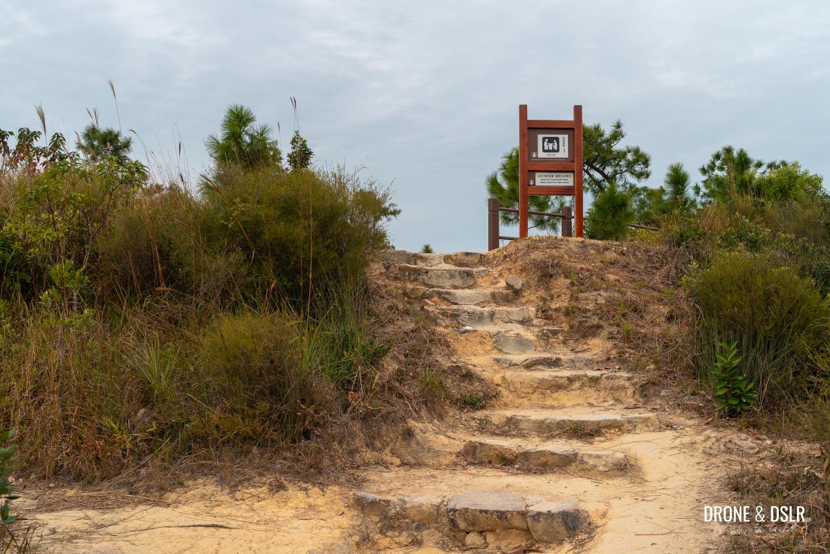
To commence your final descent from Fo Dau Ping, return to scenic ridge and walk for approximately 50 metres till you reach a stairway on your left.
Return to the ridge and take these steps downhill
Follow the steps till you reach a maintained path, and turn left onto this path.
-
- Follow the steps

-
- The steps end at this path, where you need to turn left

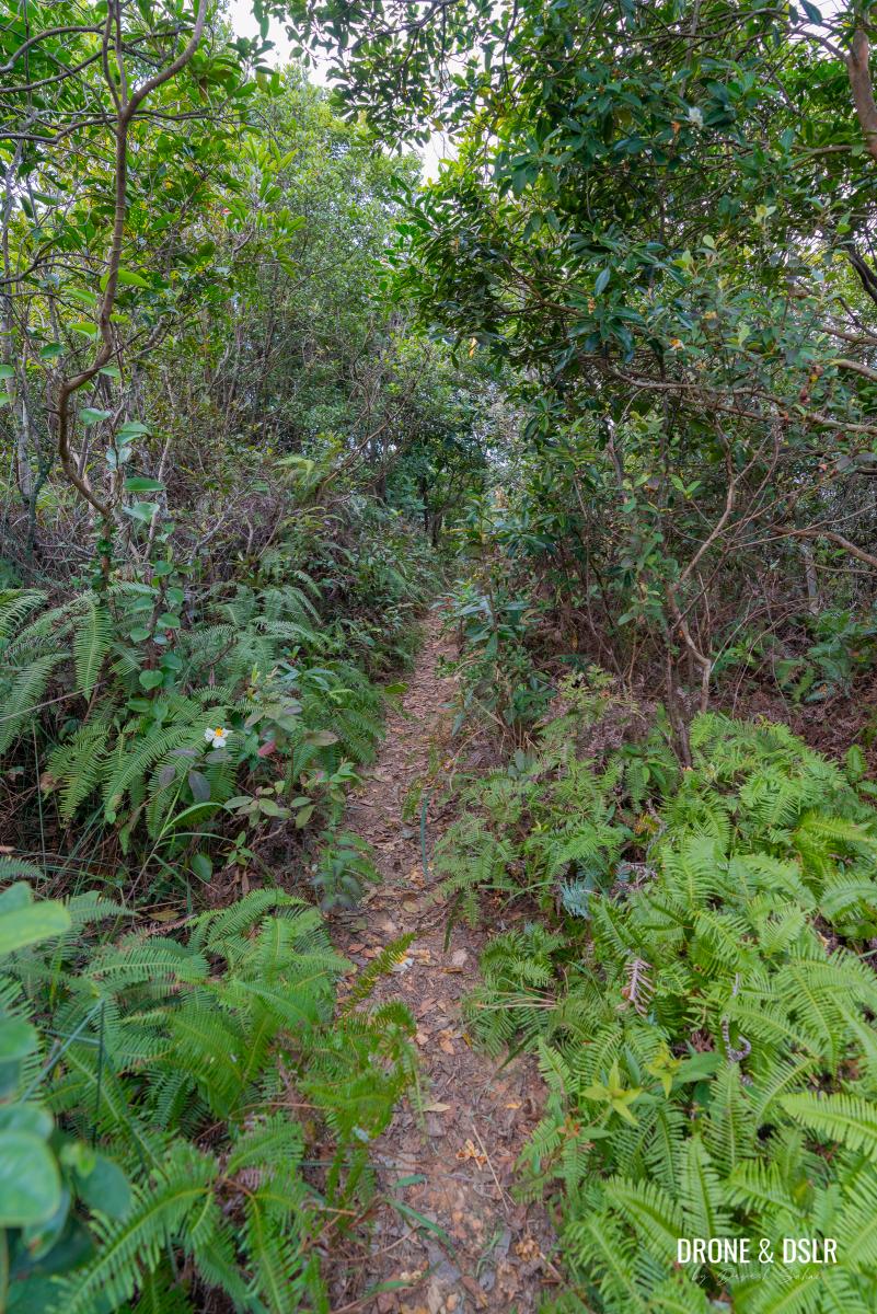
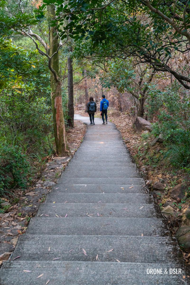
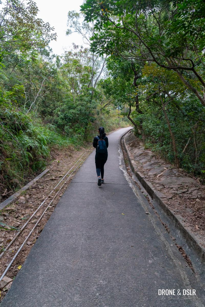
You’ll notice that this section of the path is particularly picturesque, flanked by trees on either side.
-
- Follow the path dowhill
-
- I found this secluded path quite picturesque

After a flight of steps, the path curves left. Stay on the path and follow the signs for Pok Hong Estate for another 130 metres.
-
- Follow the signs for Pok Hong Estate

-
- Keep walking downhill
At this point, notice a shortcut through the bushes on the right-hand side. Take this shortcut, and you’ll emerge onto Shui Chuen Au Street.
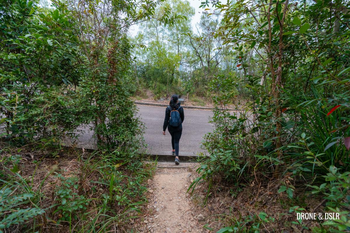
Cut across the shortcut onto Shui Chuen Au Street, and turn right
Continue walking downhill on Shui Chuen Au Street, as it twists and turns downhill, making its way to the Shatin Scout Centre.
-
- Walk downhill on Shui Chuen Au Street

-
- Walk past the Shatin Scout Centre
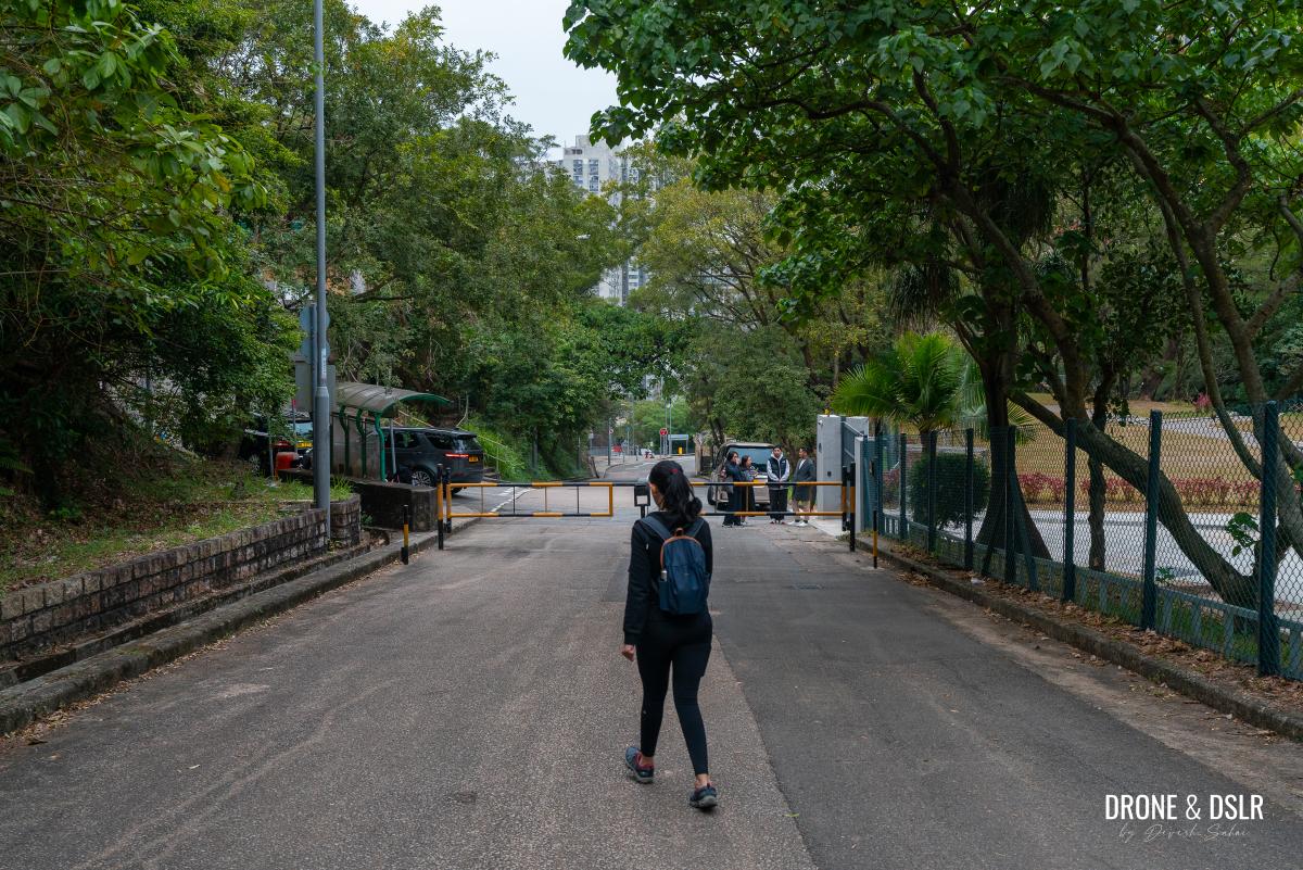
Walk past the Shatin Scout Centre till Shui Chuen Au Street merges with Pok Chuen Street, returning you to civilization.
Do as the sign says because this where the hike ends when Shui Chuen Au Street merges with Pok Chuen Street
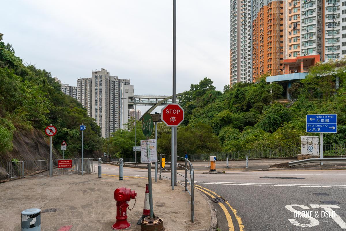
At this point, you can take a minibus or walk downhill on Shui Chuen Au Street for another 700 metres to reach the Sha Tin Wai MTR Station.

Follow the signs to end the hike at the Sha Tin Wai MTR
Unicorn Ridge — Completing Kowloon’s Eight Mountains
I don’t imagine too many hikers would have heard of or want to embark on the Unicorn Ridge Hike. But if you share my passion for exploring Kowloon’s Eight Mountains, then this hike might be worth your attention.
Even if hiking up Unicorn Ridge isn’t your cup of tea, I still recommend checking out the north ridge of Chicken Breast Mountain. The views from Fo Dau Ping are particularly stunning, and it’s a great option for those who want to experience some scenic downhill hiking.
Fo Dau Ping was the highlight of the Unicorn Ridge Hike for me
If you’re looking for an easier alternative, consider the Tsz Sha Ancient Trail. This hike runs parallel to Unicorn Ridge and starts and ends at the same locations, making it a convenient option for those who want to explore without the challenge. Else, we recommend some of the most popular peaks on the Kowloon Range, such as Lion Rock, Kowloon Peak, Temple Hill, Beacon Hill, and Tate’s Cairn.
If you know someone interested in tackling the Unicorn Ridge Hike, feel free to share this post with them or on your preferred social media channel.
If you enjoy our work, come join us on Instagram and YouTube 🙂


You might also like


Leave a reply