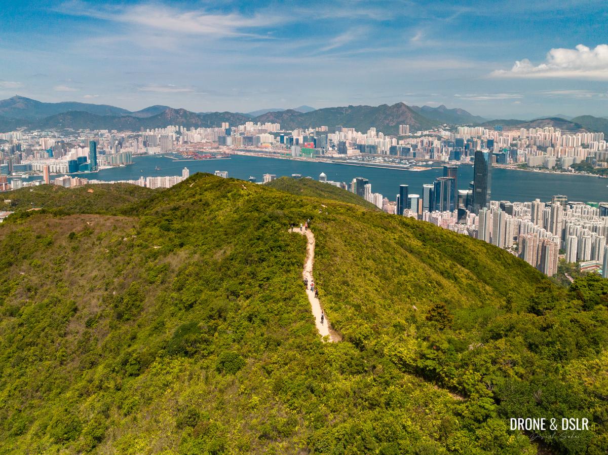
Siu Ma Shan is a flat-topped hill located in the eastern half of Hong Kong Island, next to the Mount Butler Quarry. It is often overshadowed by its two neighbouring hills, Jardine’s Lookout and Mount Butler.
But thanks to its location, Siu Ma Shan has some of the best views of Hong Kong and Kowloon. And its low-key profile ensures fewer hikers than those on its neighbouring hills. This makes the Siu Ma Shan Hike an easy and very scenic hike on Hong Kong Island.
Siu Ma Shan Hike
There are plenty of trails, from different neighbourhoods on the Island to Siu Ma Shan. I’ve hiked to and across Siu Ma Shan on numerous occasions, the last time being when I hiked from Braemar Hill to Tai Tam Reservoir.
However, it is possible to hike to Siu Ma Shan by itself.
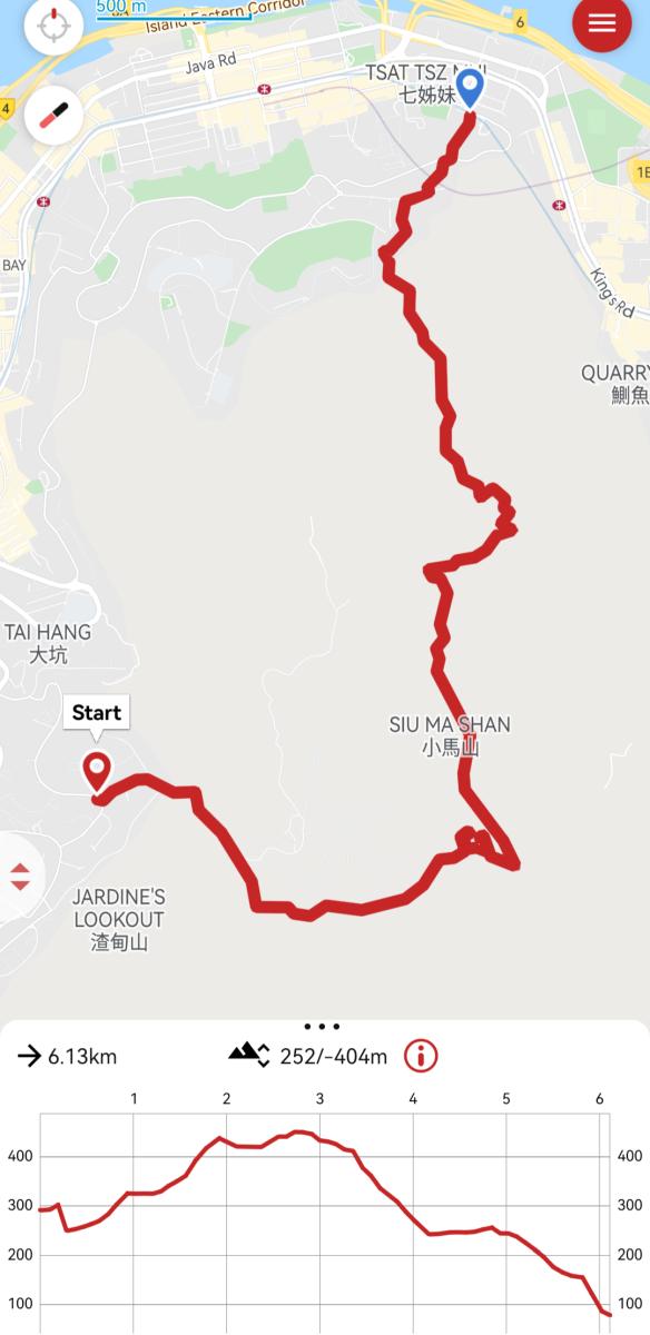
In this guide, I’ve mapped a route from Jardine’s Lookout to North Point via Siu Ma Shan that maintains an easy to moderate level of difficulty and promises the best views.
So, let’s begin.
Starting point
The starting point for the Siu Ma Shan Hike is Moorsom Road in Jardine’s Lookout.
To arrive here via public transport, you can either take bus number 11 (Central Ferry Piers to Jardine’s Lookout) and alight at the Jardine’s Lookout Garden bus stop. Alternatively, take the green minibus 14M (Causeway Bay to Jardine’s Lookout) and alight at the Ville de Jardine bus stop.
Once on Moorsom Road, walk uphill to the steps to Clementi Road, right before the bend. This is the starting point.
To the Mount Butler Quarry
From Moorsom Road, climb the steps to Clementi Road.
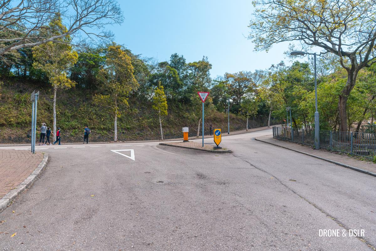
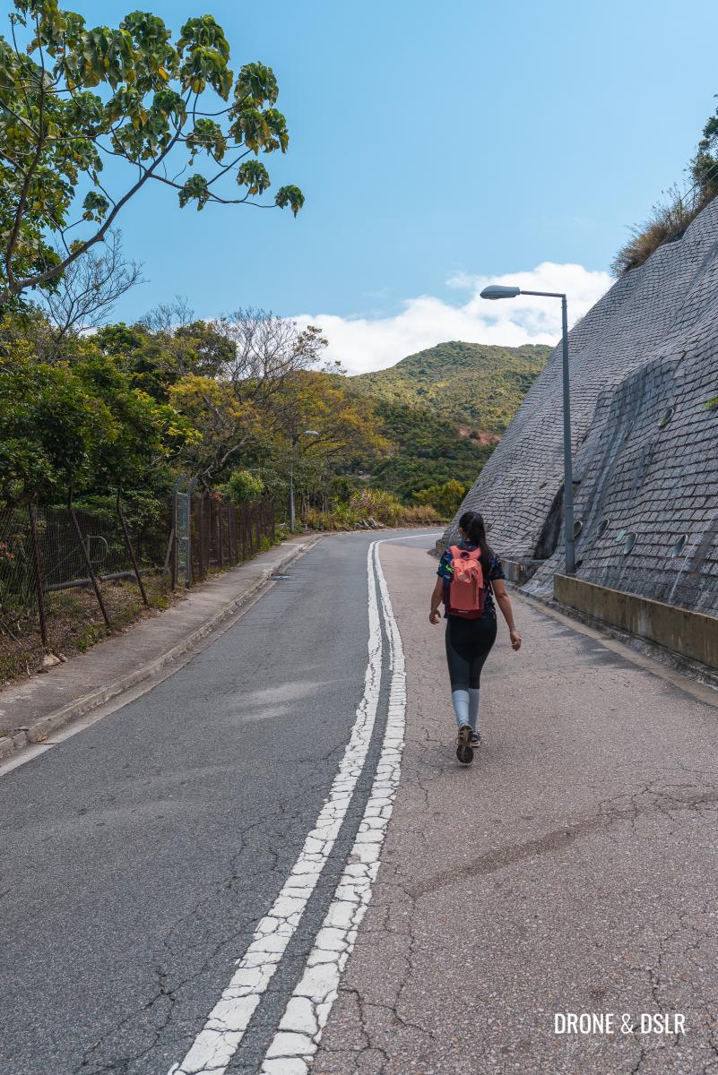
On Clementi Road, walk uphill to the three-way intersection with Mount Butler Road.
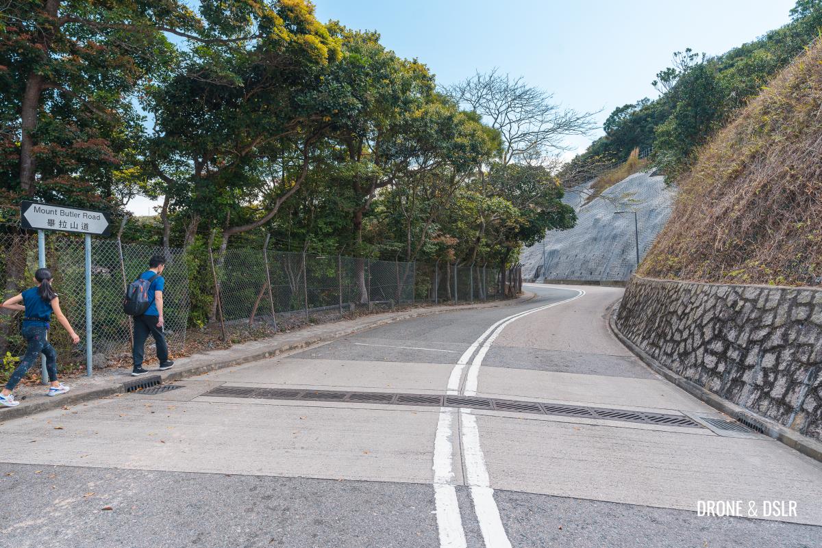
Turn right onto Mount Butler Road, and then left at the end of the road.
- Turn right onto Mount Butler Road
- Walk to the end of the road and turn left
- Turn left onto Mount Butler Road
This section of Mount Butler Road leads to the Mount Butler Quarry and is relatively secluded.
The quarry started operation in the 1940s and ceased operation in the 1990s. Part of the Mount Butler Quarry is now the base of the Explosive Ordnance Disposal (EOD) Bureau for the handling and storage of explosives. And another part of the site is the firing range for the Disciplinary Forces of Hong Kong.
As you get closer to the Mount Butler Quarry, the views get better.
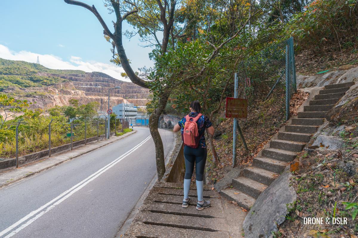
After approximately 400 metres, there is a path on the right side of the road.
Take the steps onto the path to continue the next section of the hike.
To Jardine’s North Catchwater
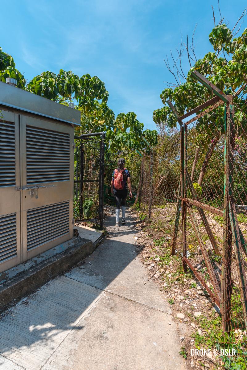
As you turn away from Mount Butler Road, you’re brought onto a very narrow trail, with a fence on one side.
Don’t be too alarmed by the warning signs about explosions in the area. Although this trail runs along the quarry and the EOD depot, I haven’t known there to be any explosive activity here.
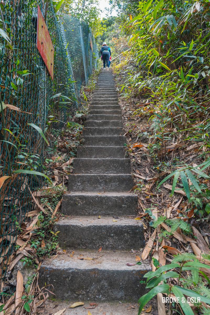
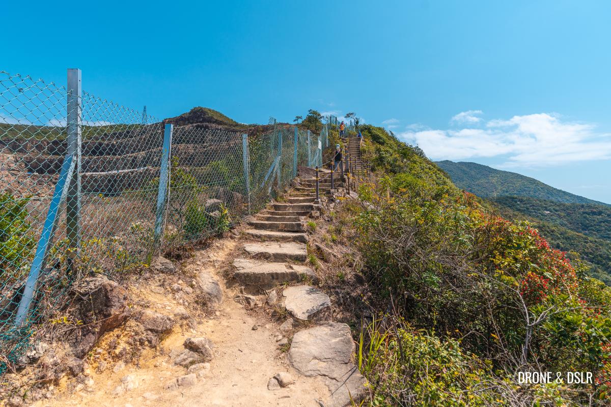
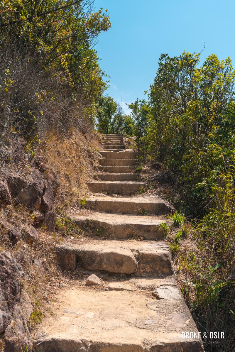
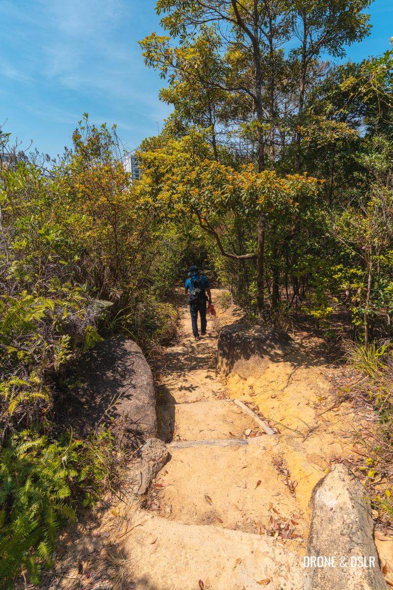
The trail initially starts easy before approaching the first flight of steps. Fortunately, there aren’t many steps on the Siu Ma Shan Hike, but what follows is relatively challenging.
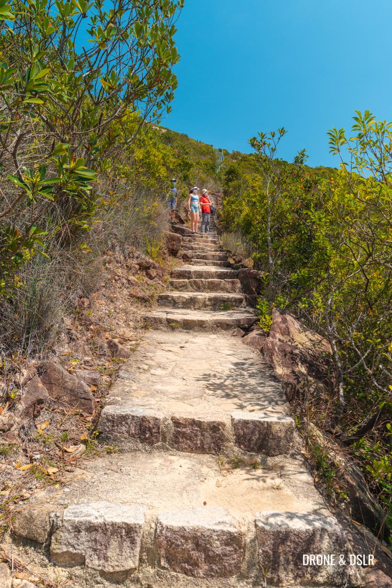
There are multiple flights of steps, and the steps are narrow and steep. Go slow and at a steady pace.
- Go easy on the steps
- Lots and lots of steps
At the landing of the final flight of steps, the climb ends at the Jardine’s North Catchwater.
To Hong Kong Trail Section 5
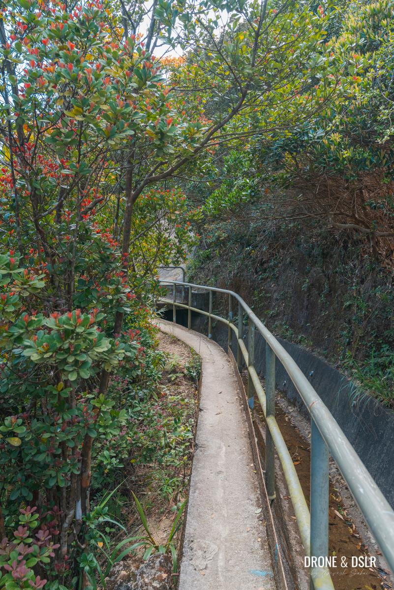
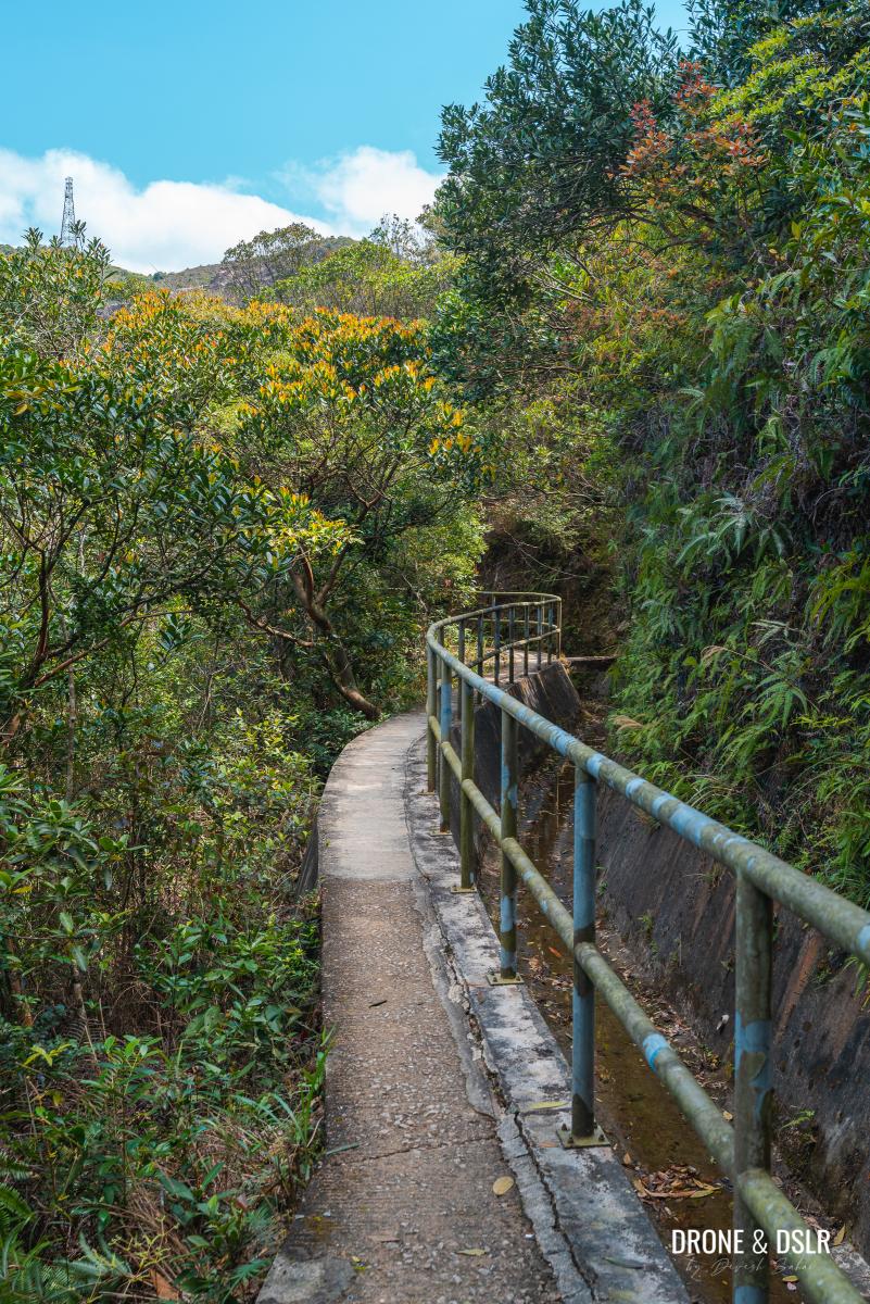
After catching your breath, turn left onto the path alongside the Jardine’s North Catchwater basin. Be careful here because the path is slightly narrow and has a steep fall off on the left.
- Turn left on the Jardine’s North Catchwater path
- Quarry views
The catchwater path also has the best views of the Mount Butler Quarry.
And because the path lies in the shadow of Jardine’s Lookout, it remains shaded.
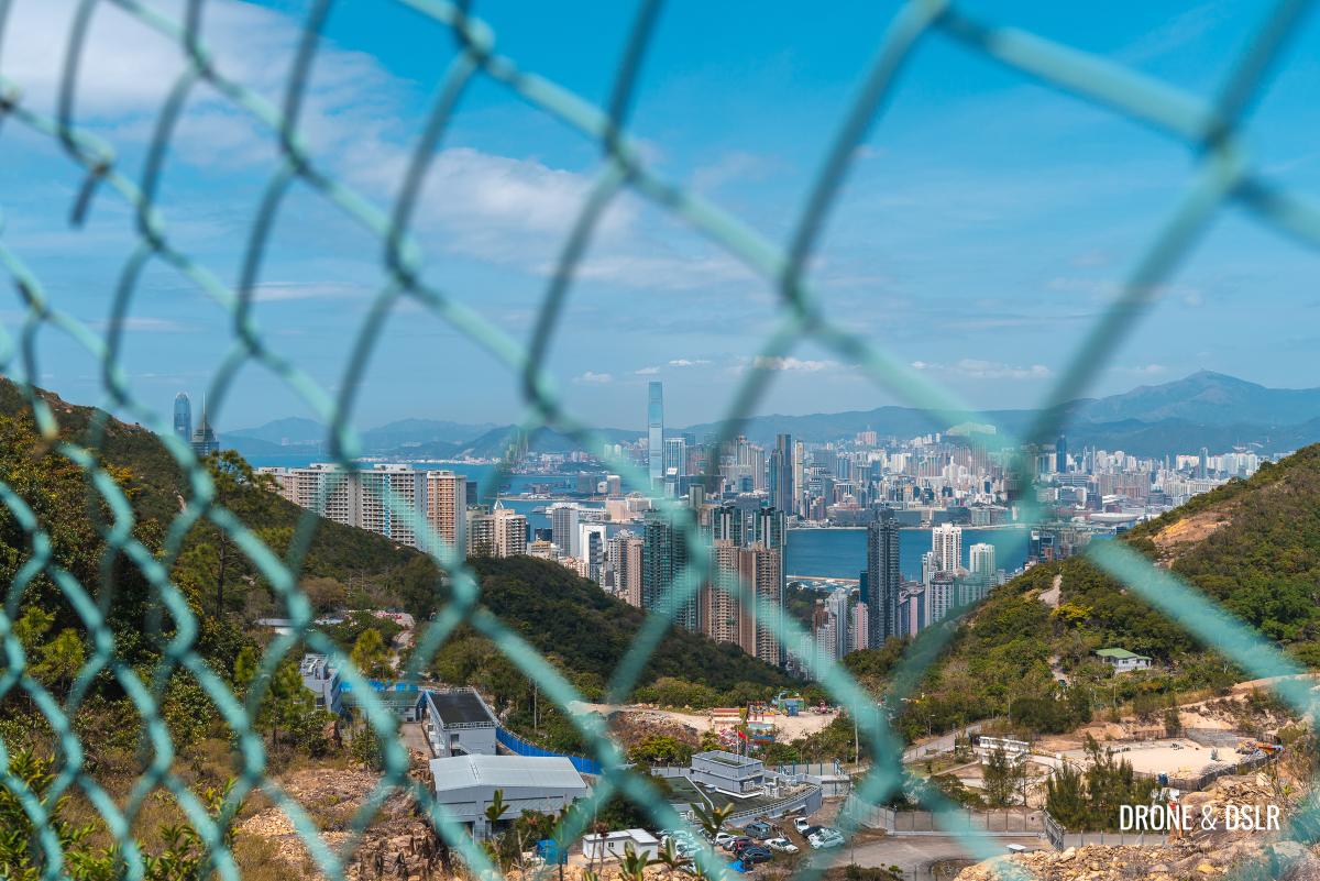
The end of the path is marked by a fence on the left side. But just before that, look behind to get the first glimpse of the Hong Kong skyline.
- Be careful of the fall off on the left of the path
- Views of the city
The Jardine’s North Catchwater path runs along the fence for a short distance before it merges with Hong Kong Trail Section 5.
To Wilson Trail Section 2
The Jardine’s North Catchwater intersects Hong Kong Trail Section 5 at the foot of Jardine’s Lookout.
This section of the Hong Kong Trail between Jardine’s Lookout and Mount Butler is quite popular. The trail going uphill to the right leads to Jardine’s Lookout, but to continue to Siu Ma Shan (and Mount Butler), turn left.
The trail continues to run alongside the fence to the Mount Butler Quarry. From here you can look inside the quarry and even get a glimpse of the city’s skyline.
- The hike continues next to the quarry
- View of the city and the quarry
The trail also begins to gradually climb. The initial section is relatively easy, even if it isn’t shaded.
As you continue uphill, the views of the Tai Tam Reservoir and the valley become more impressive.
- The steps slowly get steeper
- Beautiful views of Tai Tam Reservoir and Country Park
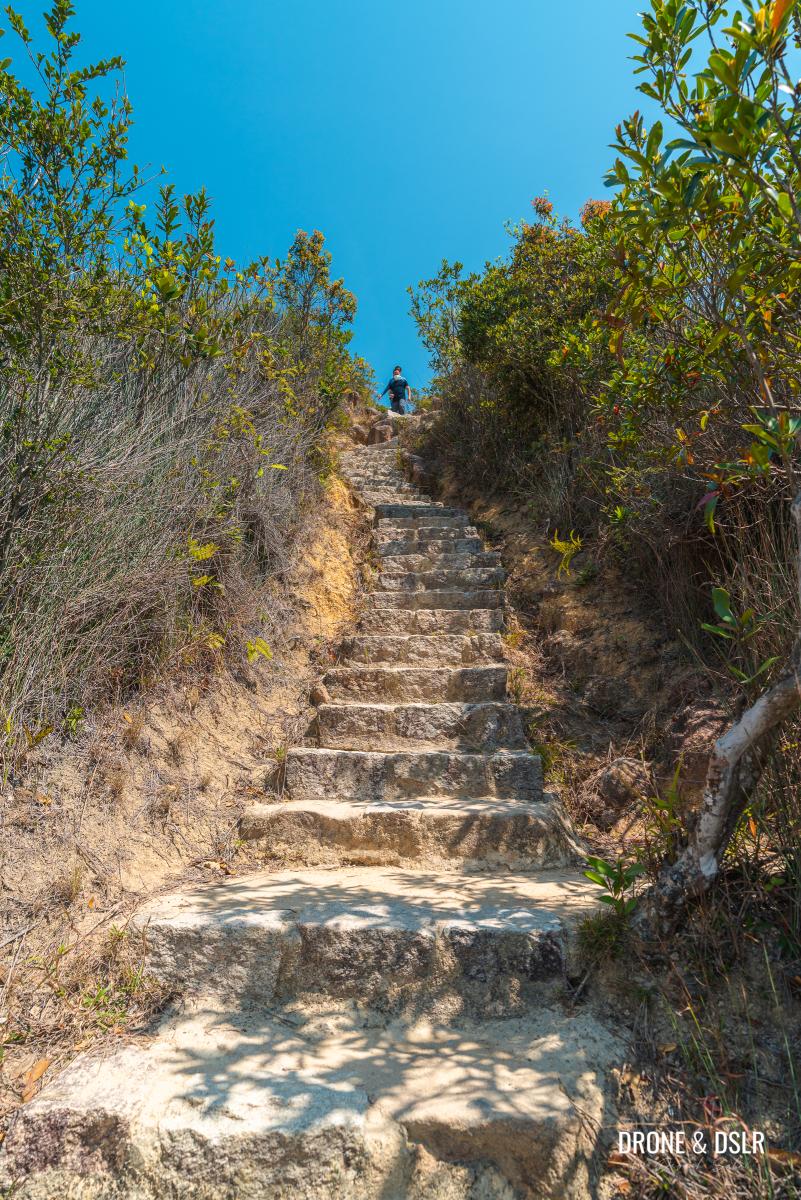
Unfortunately, towards the end of the climb, there is a short but steep climb on steps.
- Challenging steps
- Almost at the end of the steps
After the final flight of steps, the trail flattens momentarily and then continues uphill on a gentler incline.
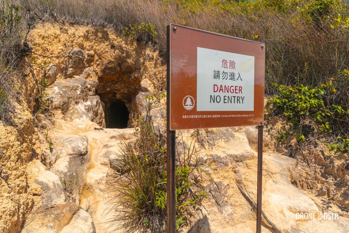
Around this point, there is also a Japanese WWII tunnel on the trail. Unlike many of the tunnels on Hong Kong Island, this one is in plain sight.
As you continue walking on Section 5 of the Hong Kong Trail, the views of Mount Parker and Mount Butler ahead and Tai Tam Country Park on the right are quite scenic.
- Lovely views of Mount Butler and Mount Parker
- Stay on Hong Kong Trail Section 5 a bit longer
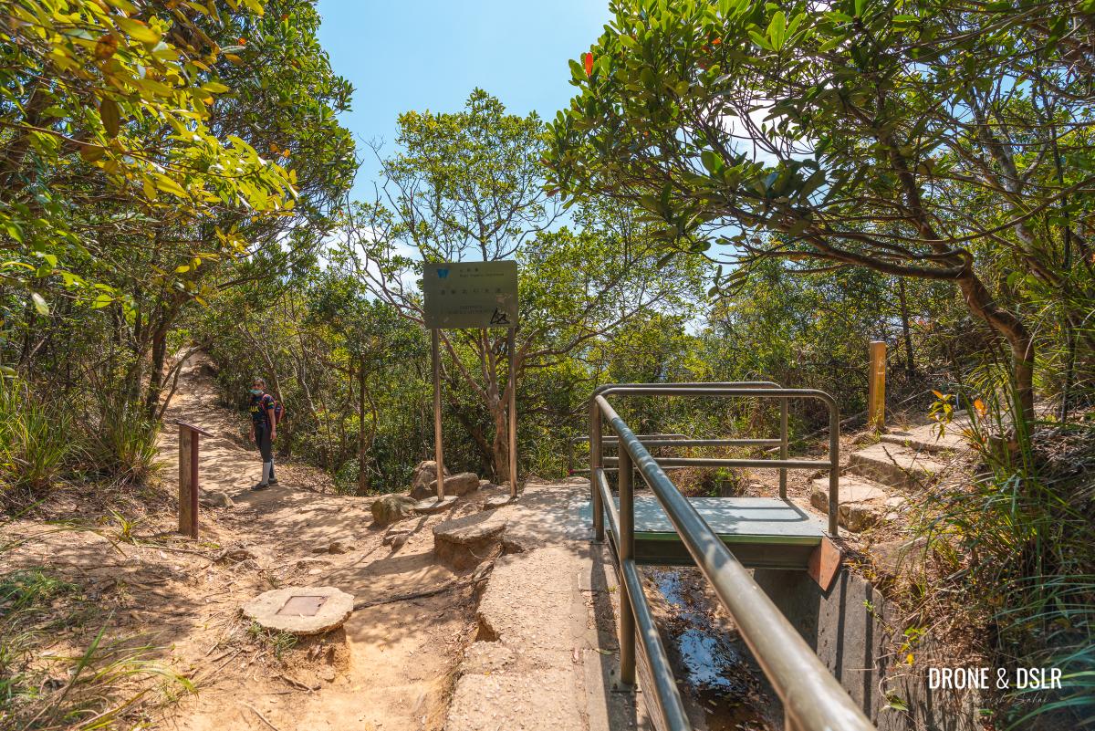
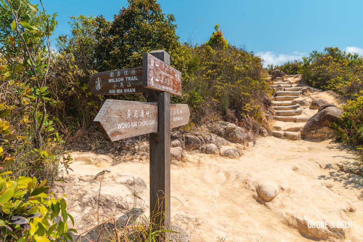
After approximately 250 metres from the tunnel is the intersection with Wilson Trail Section 2. Turn left and follow the sign for Siu Ma Shan.
To Siu Ma Shan
The final ascent to Siu Ma Shan is a short 370-metre hike on a scenic and gentle incline.
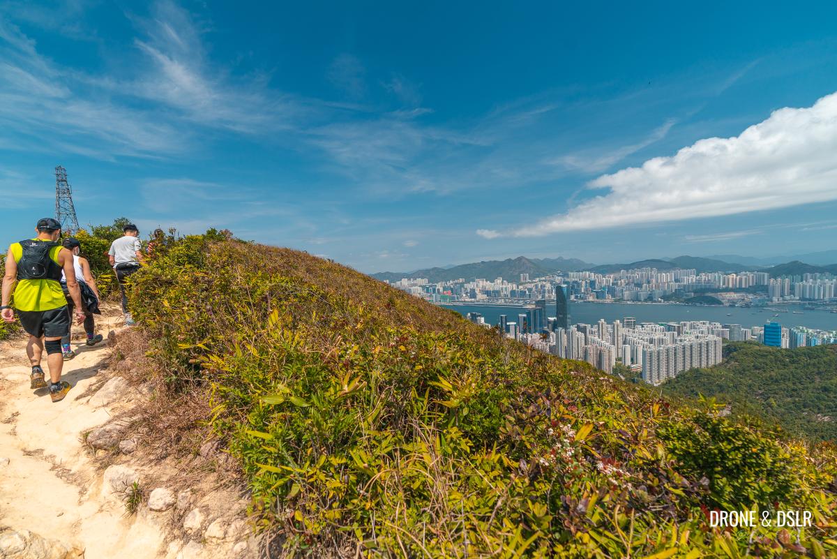
From the intersection, Wilson Trail quickly meanders uphill and then flattens close to the top with views of Quarry Bay and Taikoo Shing.
The dense vegetation on top of the hill also adds a nice touch to the views.
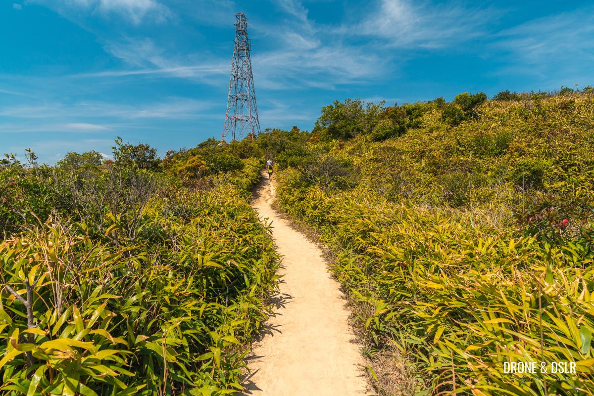
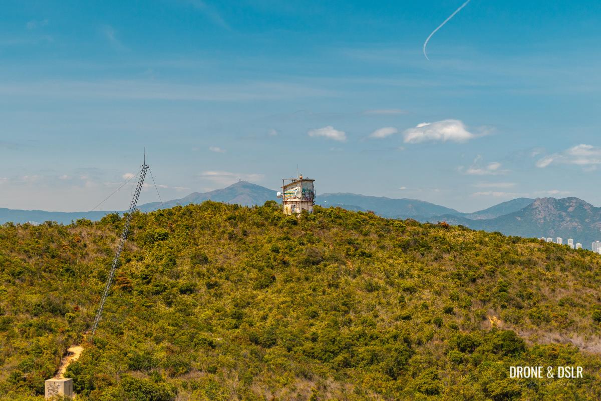
The only visible marker on this trail is a tower. And shortly after crossing the tower, the views of central Hong Kong become visible.
- Quite a picturesque trail to the tower
- First proper views of Hong Kong’s skyline from the hike
Because Siu Ma Shan is a flat-topped hill with a stubby triangulation station, it is quite easy to miss its summit. So, make sure you don’t overshoot it!
- The flat-topped Siu Ma Shan
- The short and stubby triangulation station at Siu Ma Shan
Views from Siu Ma Shan
Much like Grassy Hill, the flat terrain of Siu Ma Shan doesn’t make it the best scenic vantage point.
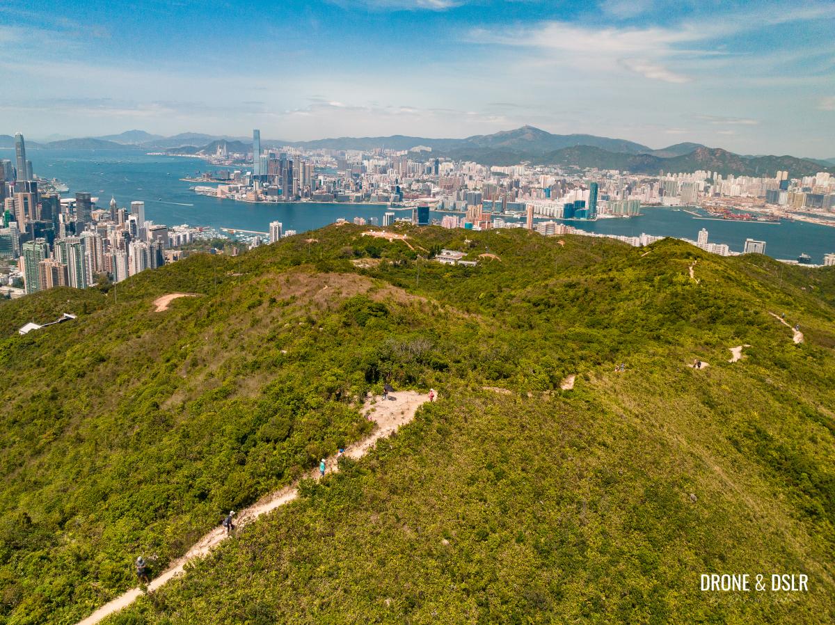
But you can still enjoy the views of Hong Kong Island, Victoria Harbour, and Kowloon from behind the triangulation station.
- Hong Kong and Kowloon to the west of Siu Ma Shan
- Aerial views of East Kowloon and Hong Kong Island
However, in my opinion, the views from Siu Ma Shan aren’t as impressive as they are while descending the hill.
In fact, the reason I recommend ascending the hill from the south side is to enjoy the sweeping panoramic views while descending from the north side.
Subscribe to my YouTube channel
To Siu Ma Shan Bridge
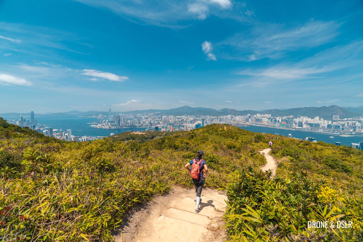
The descent from Siu Ma Shan to Siu Ma Shan Bridge has some of the most scenic views in my opinion.
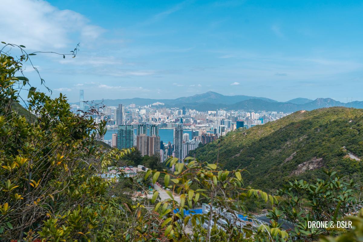
As the trail heads downhill, you’re treated to panoramic views of East Kowloon. Across the harbour, you can see Devil’s Peak, Black Hill, Kai Tak, Kowloon Peak, Tate’s Cairn, Lion Rock, and Beacon Hill.
And on a clear day, even Tai Mo Shan is visible!
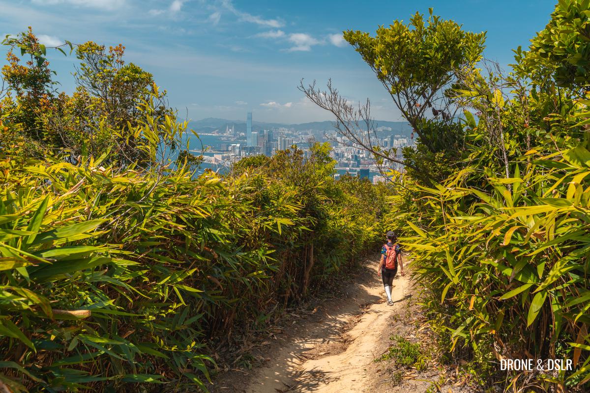
After the initial scenic descent, the trail momentarily passes an area of bushes and trees that block the views.
Fortunately, the views continue after crossing the shaded section. It only gets better!
- These views make Siu Ma Shan one of the best urban hikes
- What a scenic descent
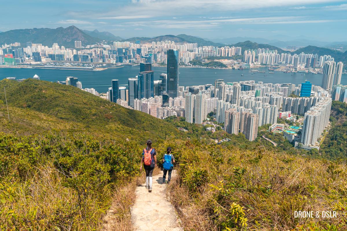
As the steps appear, the views of East Kowloon and Hong Kong Island become even more spectacular! Needless to say, we took our time descending.
- Views of East Kowloon ahead
- Taking our time coming down Siu Ma Shan
Sadly, as you get closer to the bottom, the surrounding hills begin to obstruct the views. The last interesting sight is that of the Walker Street Signal Station on the opposite hill.
- Views of Taikoo Shing
- The Walker Street Signal Station across the gap
And finally, the trail reaches the foot of the hill and crosses the Siu Ma Shan Bridge.
- Almost at the foot of Siu Ma Shan
- The Siu Ma Shan Bridge
To Sir Cecil’s Ride
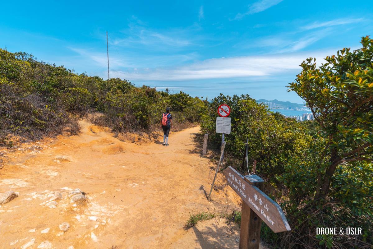
After crossing the bridge, turn right and follow the sign for Sir Cecil’s Ride. Alternatively, if you turn left and follow Sir Cecil’s Ride onto Mount Butler Road, you’ll return to the starting point.
Wilson Trail continues downhill to the right and moves from a dirt path to a paved path. But the views of Quarry Bay and Taikoo Shing from this section of the trail continue to impress.
But as the steps approach, the trees begin to cover the views till they finally disappear.
At the bottom of the steps, Wilson Trail meets Sir Cecil’s Ride.
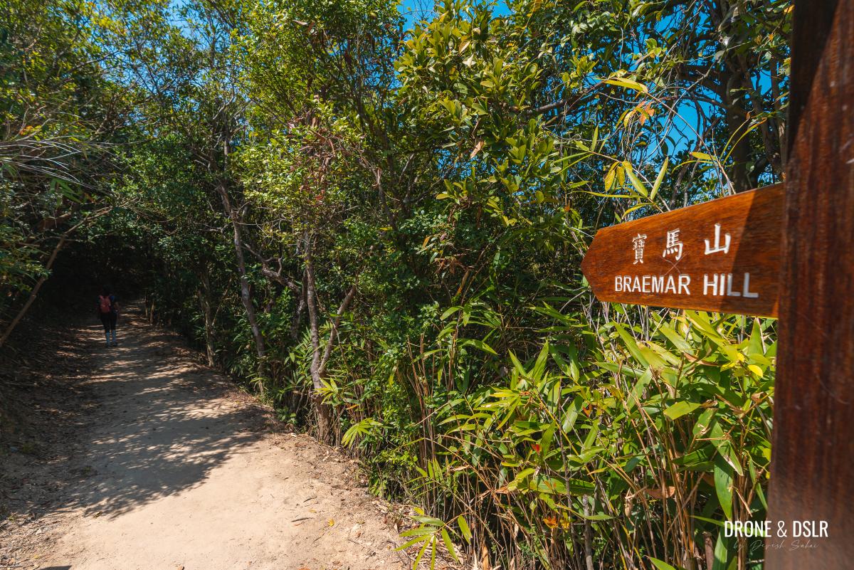
At this point, turn left and follow the sign for Braemar Hill.
To Po Luen Path
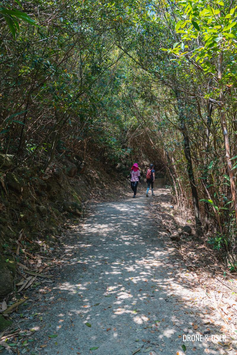
As you turn onto Sir Cecil’s Ride, the hike comes onto a very easy and shaded flat trail.
Sir Cecil’s Ride is a 9.5 km trail between Wong Nai Chung Gap and Quarry Bay. To me, it’s one of the best nature trails in the middle of Hong Kong Island.
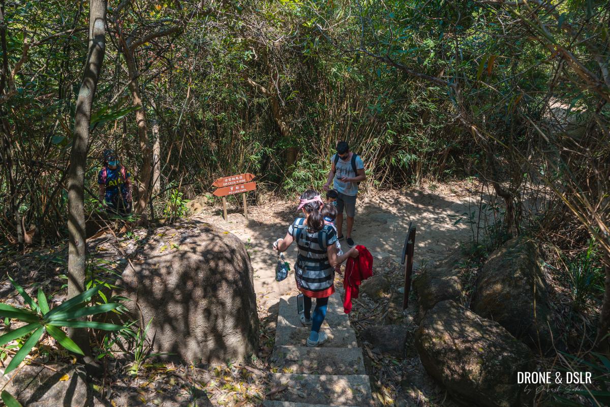
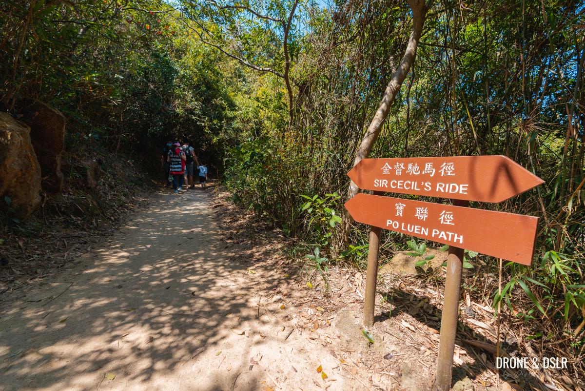
After approximately 580 metres, Sir Cecil’s Ride reaches a four-point intersection, next to the Morning Walkers’ Garden. At this intersection, turn left and follow the sign for Po Luen Path.
- Keep walking on Sir Cecil’s Ride
- Turn left for Po Luen Path
This path is a shortcut between two points on Sir Cecil’s Ride and has a couple of Morning Walkers’ Gardens and the Morning Buttress, a large boulder.
- This shortcut connects two distant points on Sir Cecil’s Ride
- Follow the sign for Po Luen Path
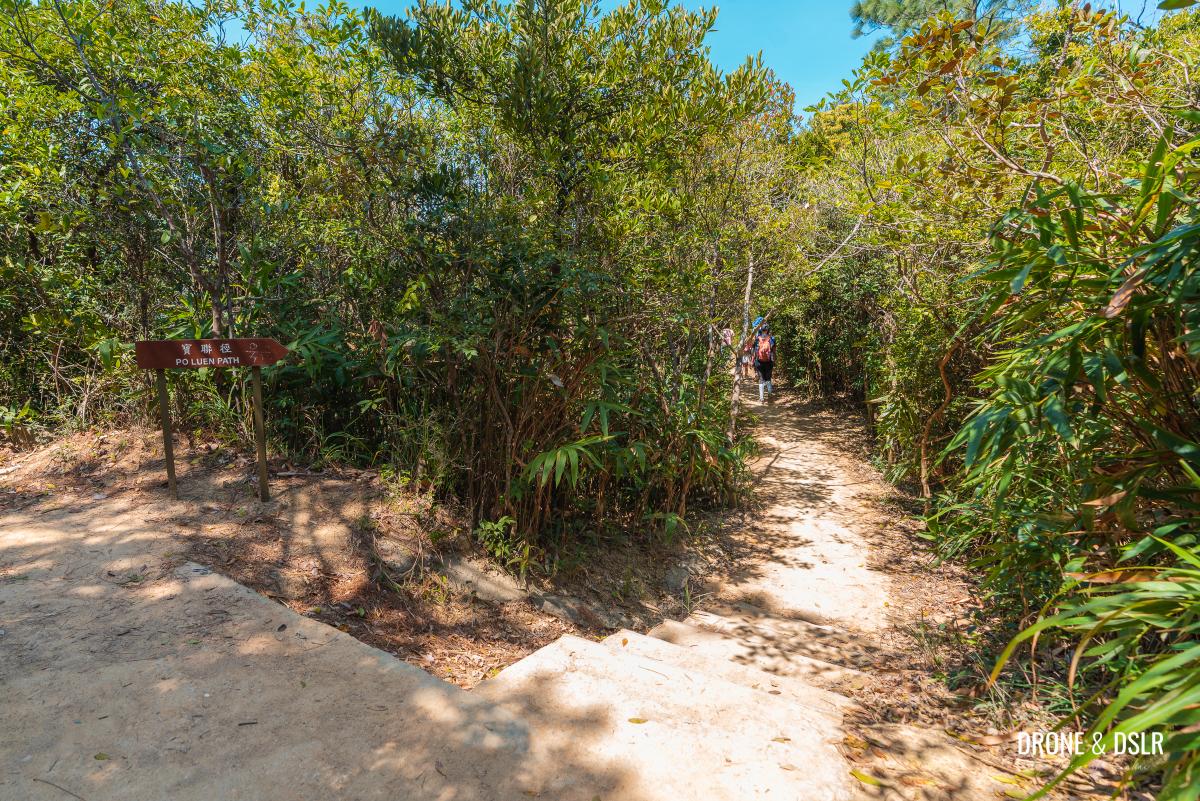
Ahead, the path merges again with Sir Cecil’s Ride. At this intersection, turn left and again follow the sign for Po Luen Path.
- Keep walking down the path
- The path reunites with Sir Cecil’s Ride
- Follow the sign for Po Luen Path
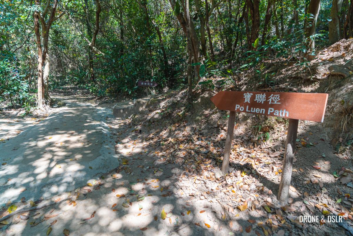
After about 150 metres, turn right for Po Luen Path.
- Walk slightly ahead on Sir Cecil’s Ride
- Turn right onto Po Luen Path
If you were to continue straight, Sir Cecil’s Ride heads towards Red Incense Burner Summit and the Braemar Hill bus terminus.
To Wilshire Towers
The turn right onto Po Luen Path marks the final stretch of the Siu Ma Shan Hike.
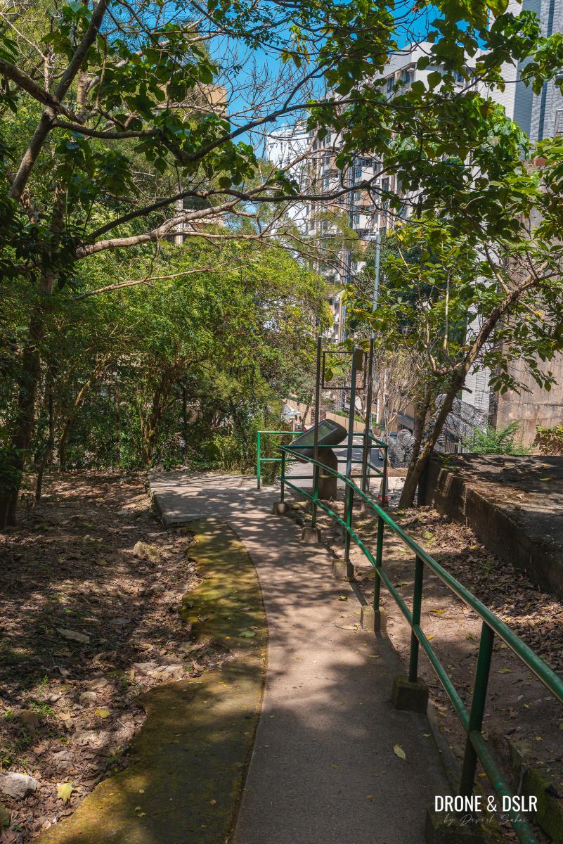
Po Luen Path continues on a gentle downhill trail towards Braemar Hill. There are a few more gardens along this path. So, at the next fork, stay on the right to avoid entering one.
Continue walking downhill to a small and quaint stream crossing.
- Po Luen Path remains shaded
- The small stream crossing
Cross the stream and continue on the path as it narrows. Although not relevant to this hike, shortly after the stream, there is a flight of steps on the right to Braemar Hill peak. Many often think of Red Incense Burner Summit as Braemar Hill. But actually, Braemar Hill is situated above this section of Po Luen Path.
Po Luen Path soon reaches the area behind residential buildings at Braemar Hill, signalling the end.
Further downhill is a turn for Braemar Hill Park. But continue straight till Po Luen Path becomes a paved road.
- Keep walking downhill on Po Luen Path
- Continue straight on Po Luen Path
- Po Luen Path emerges in front of Wilshire Towers
Early exit
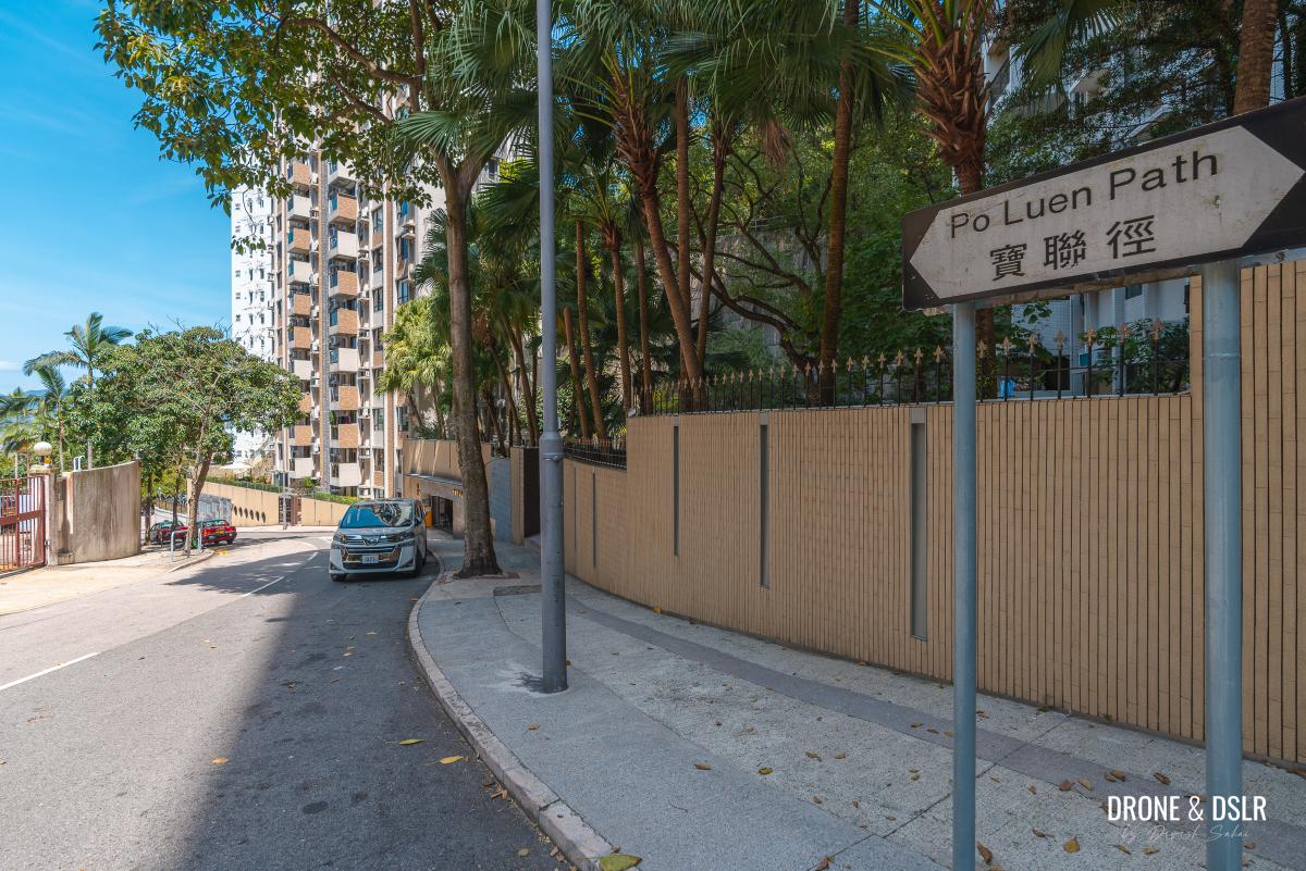
Po Luen Path emerges in front of Wilshire Towers and becomes a proper road.
From here it is possible to catch a taxi and end your hike. Or walk to the end of Po Luen Path and on the left is a bus stop for GMB 49M to Tin Hau MTR Station.
However, if you’ve still got energy, you can choose to end the hike at North Point.
End at North Point
Surprisingly, North Point is a relatively short 400-metre walk from Po Luen Path.
At the end of Po Luen Path, turn right onto Tin Hau Temple Road and cross it.
There is a small outdoor seating area with benches and next to it is a slightly hidden entrance to a path.
Walk through the fence and take the steps downhill.
Slightly ahead, is a pedestrian underpass below Pak Fuk Road.
- The steps approaching Pak Fuk Road
- The underpass below Pak Fuk Road
After the underpass is a very long flight of steps. Honestly, I would hate climbing up these steps! But even walking down wasn’t easy. I recommend holding the railing while descending.
At the end of the steps, the path cuts through Pak Fuk Road Playground before ending on Pak Fuk Road, directly opposite the Chinese Methodist Church in North Point.
Jardine’s Lookout to North Point via Siu Ma Shan
We hope that you enjoyed our guide to the Siu Ma Shan, a fun urban hike with amazing views.
If you enjoyed this hike, we also highly recommend the Jardine’s Lookout and Mount Butler Hike. And even the Braemar Hill to Tai Tam Reservoir Hike, which passes Siu Ma Shan.
As always, please feel free to share this post on the social media channel of your choice or drop us a comment below.
If you enjoy our work, come join us on Instagram and YouTube 🙂













































10 Comments
I did this hike last week and it was amazing! I also had it almost all to myself. Thanks for the great guides and keep up the great work!
Thank you very much! Hope the views were stellar too!
Nice and convenient hike. And thanks for the crystal clear directions.
Thank you very much, Aniruddha!
I don’t do many hikes on HK Island, but I really enjoyed this one.
As always, thanks for the excellent directions. ?
You’re welcome, Nikki!
My overseas phone doesn’t work in HK so I purely relied on the print-outs of your post. The direction was so clear and all the little details along the way gave me the reassurance that I was on the right path. The view, especially coming down from Siu Ma Shan was well worth all the steps/stairs I had to climb up! I’m glad I found your post on this hike. Thank you!
Thank you, Yuki! I truly appreciate your feedback 🙂
Just did this route today, directions were clear and correct. Thank you for sharing this information. I have had many great adventures from your guides over the years. Looking forward to more adventures supported by your guides.
Thank you, Raymond! Really appreciate your feedback 🙂