
The hike around the Shing Mun Reservoir is one of the most beautiful and idyllic trails in Hong Kong in my opinion. The reservoir is nestled between Tai Mo Shan and Needle Hill and features scenic viewing points, natural attractions, and over 20 picnic spots. The reservoir is also known for its bustling wildlife including monkeys, butterflies, and cattle. And its character changes with every season!

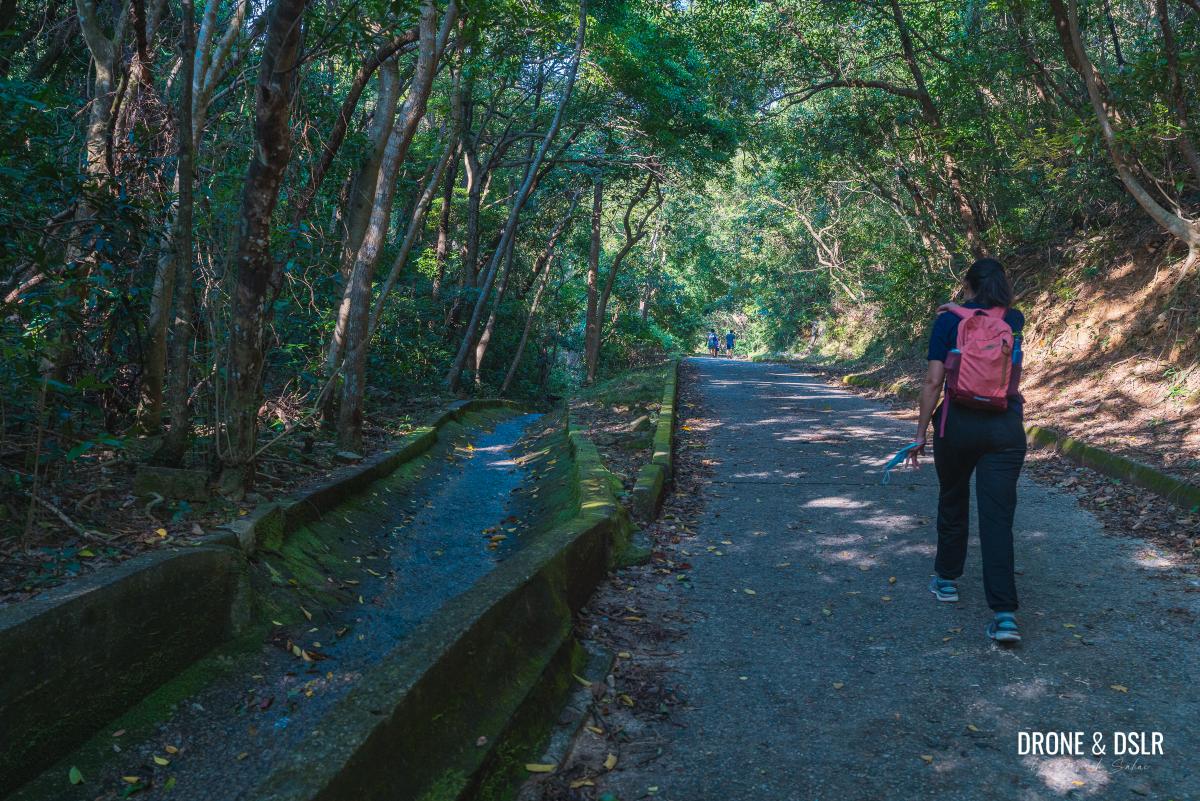
Peaceful views along the walk
Shing Mun Reservoir is also referred to as “Upper Shing Mun Reservoir”, to help distinguish it from “Lower Shing Mun Reservoir“, which lies further down the Shing Mun Gorge.
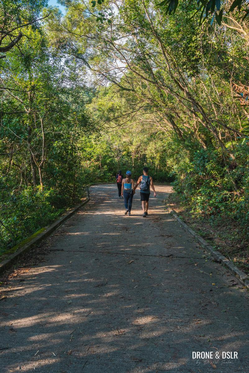
The best way to enjoy the beauty of Shing Mun Reservoir is to complete the 7.5 km loop around it. Or walk only the scenic part and combine it with the Pineapple Dam Nature Trail. Alternatively, there is also the much longer Section 7 of the Wilson Trail that runs alongside the reservoir.
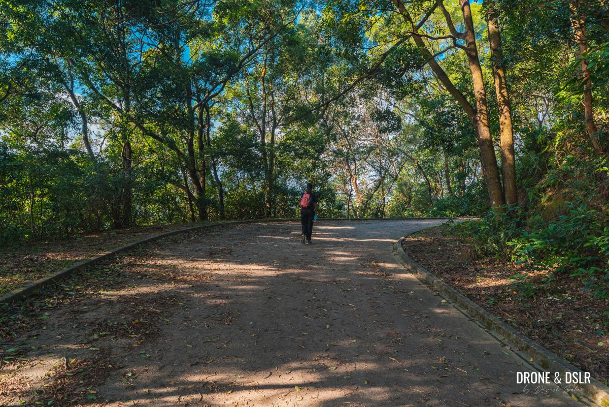
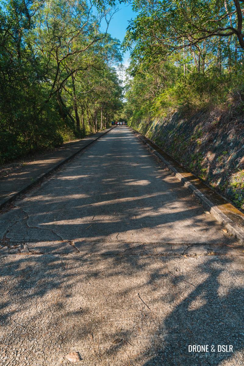
Although the paved track around Shing Mun Reservoir is commonly referred to as the “Reservoir Walk”, it often times feels like a hike, especially on the steep inclines.
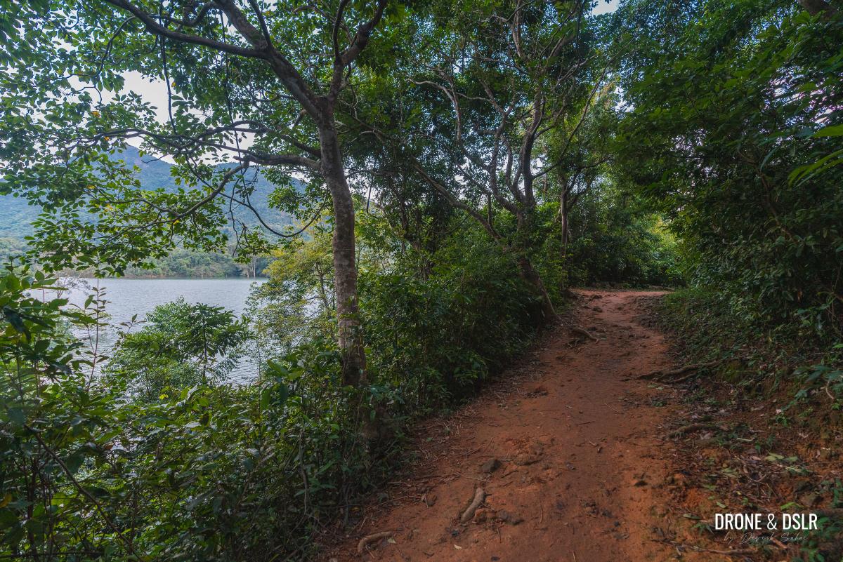
The Pineapple Dam Nature Trail runs along the shores of Shing Mun Reservoir
In this post, we’ll focus on the scenic section of the Shing Mun Reservoir Walk, highlight the attractions along the way, and include the Pineapple Dam Nature Trail.

A stream flows on the Pineapple Dam Nature Trail
Getting to Shing Mun Reservoir
You can get to Shing Mun Reservoir walk from either Tsuen Wan or Kwai Fong.

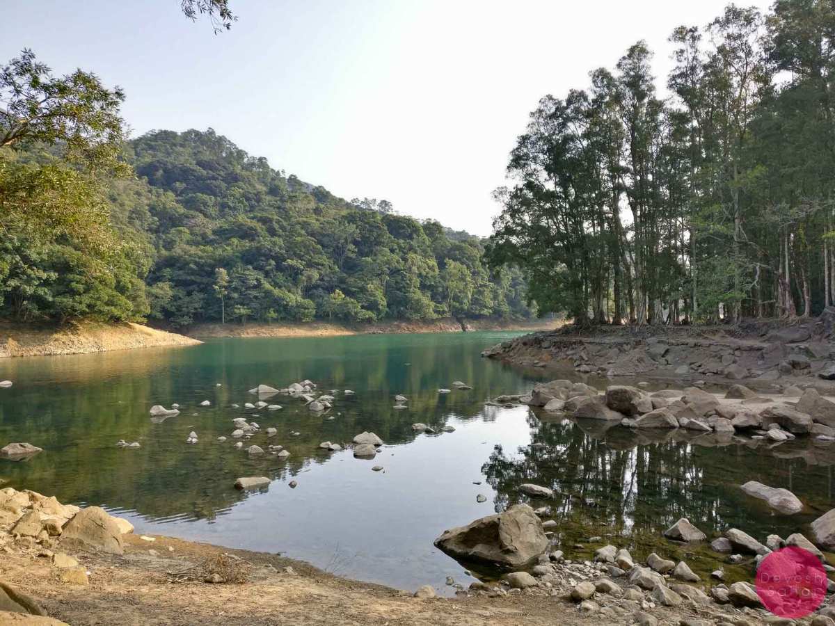
The beautiful Shing Mun Reservoir
From Tsuen Wan
The easiest way to arrive at Shing Mun Reservoir from Tsuen Wan is via the green minibus 82 from Shiu Wo Street. The bus plies between Tsuen Wan and the start of the Pineapple Dam Nature Trail on Shing Mun Road.
From Kwai Fong
Alternatively, you can also arrive at the reservoir from the Kwai Fong side. From Kwai Fong MTR Station, take any bus towards Lei Muk Shue Estate.
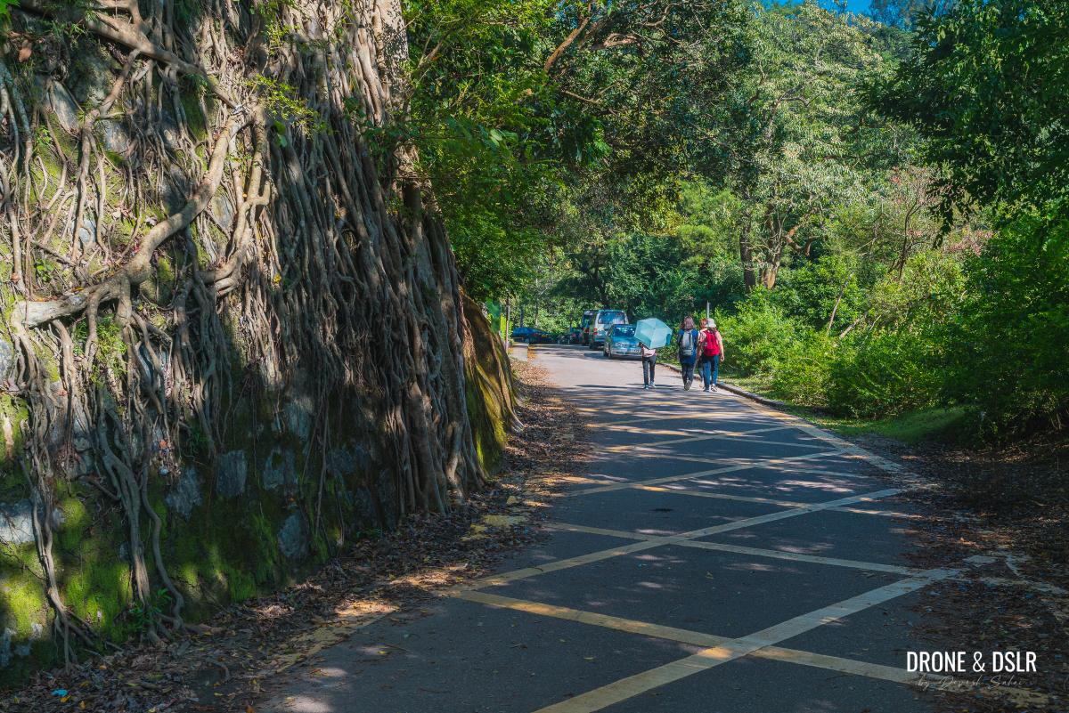
From Lei Muk Shue Estate, Shing Mun Reservoir is a 1.2 km walk on a gentle incline.

Lei Muk Shue to Shing Mun Reservoir walk map and elevation profile
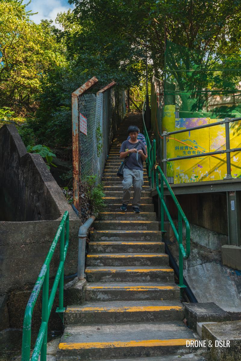
Once at Lei Muk Shue Shopping Centre, cross Wo Yi Hop Road and climb up the flight of steps on the side of the hill. Follow the winding path uphill and at the first three-point junction, turn left. If you see any monkeys along the way, please ignore them and do not feed them. They won’t bother you if you don’t bother them.
-

- Cross the road at Lei Muk Shue

-
- Take the steps after crossing the road
-
- The road is a gentle incline to the reservoir

-
- Turn left at the three-point junction
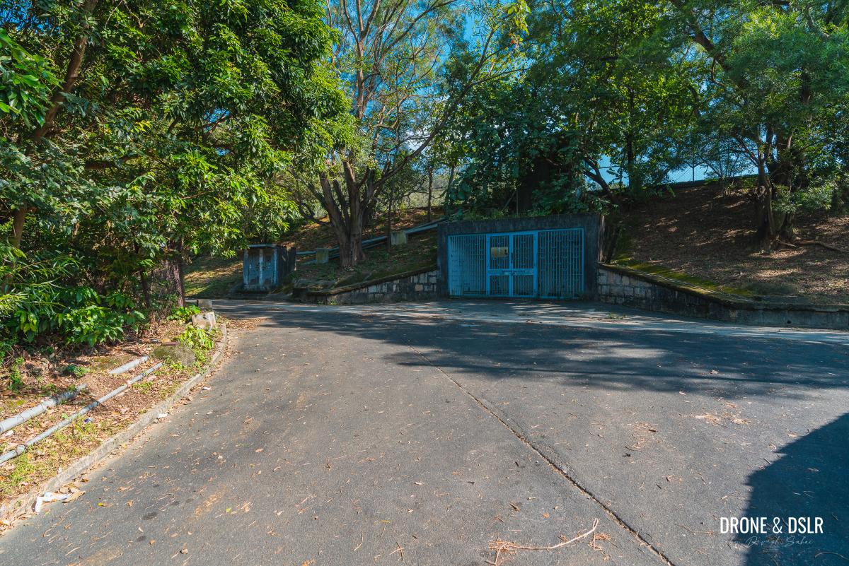
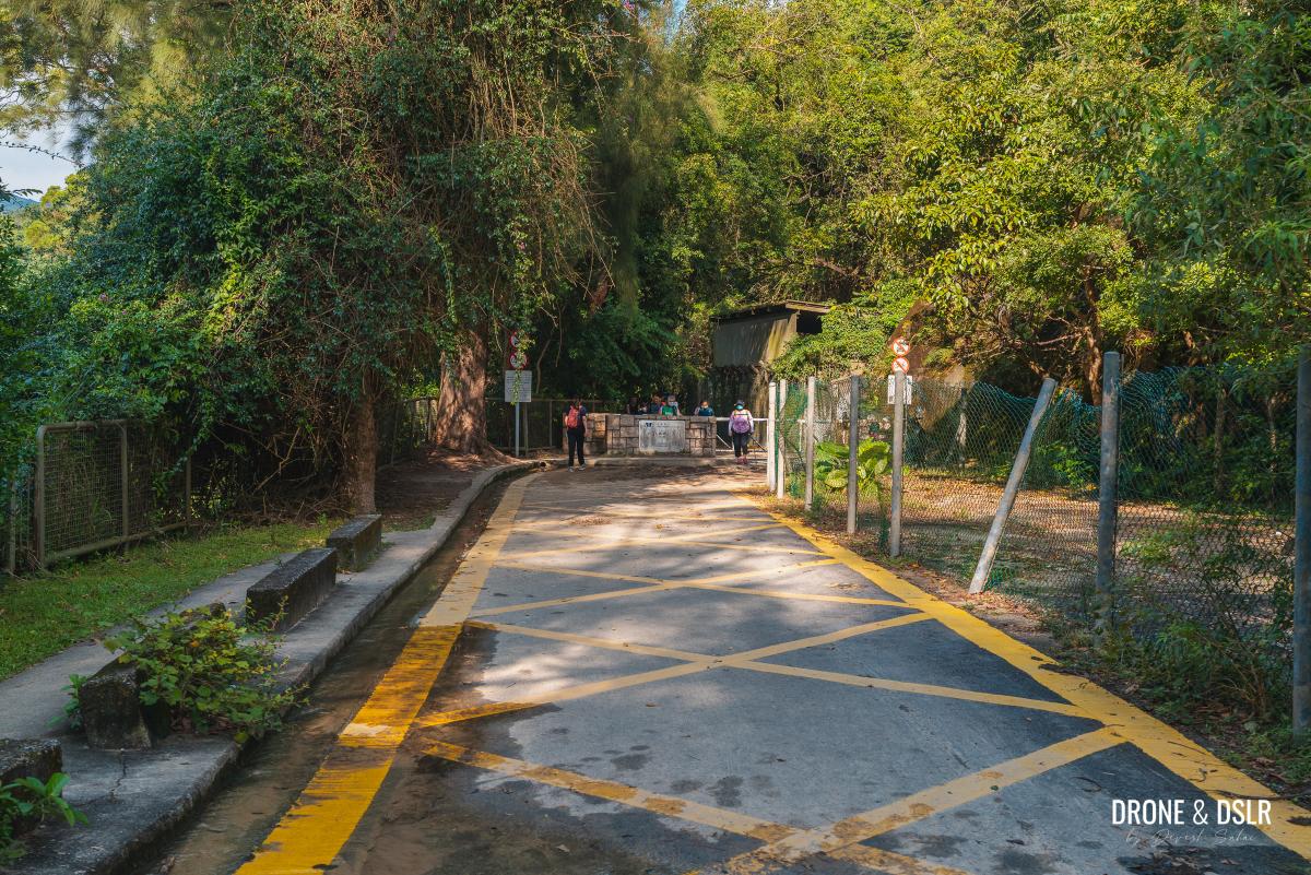
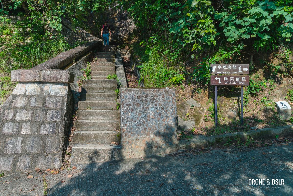
About 4oo metres after the three-point junction, look for a flight of steps on the right. Take this shortcut that brings you onto the south side of the Shing Mun Reservoir Walk, which overlaps with Maclehose Trail Section 7.
-
- Walk past all the containers
-
- Take the steps on the right for the shortcut
-
- Steps end on the road, which is also Stage 7 of the Maclehose Trail
About the Shing Mun Reservoir Walk
The complete loop around Shing Mun Reservoir is 7.5 km. However, the 1.4 km section south of the Pineapple Dam can be skipped because it’s non-scenic and away from the reservoir.
You can choose to start or end the walk at the Pineapple Dam bus stop. We usually decide to end it at Pineapple Dam, but I know many prefer starting from Pineapple Dam. In this post, we will end at the Pineapple Dam. But if you want to start here, simply follow the instructions in reverse.
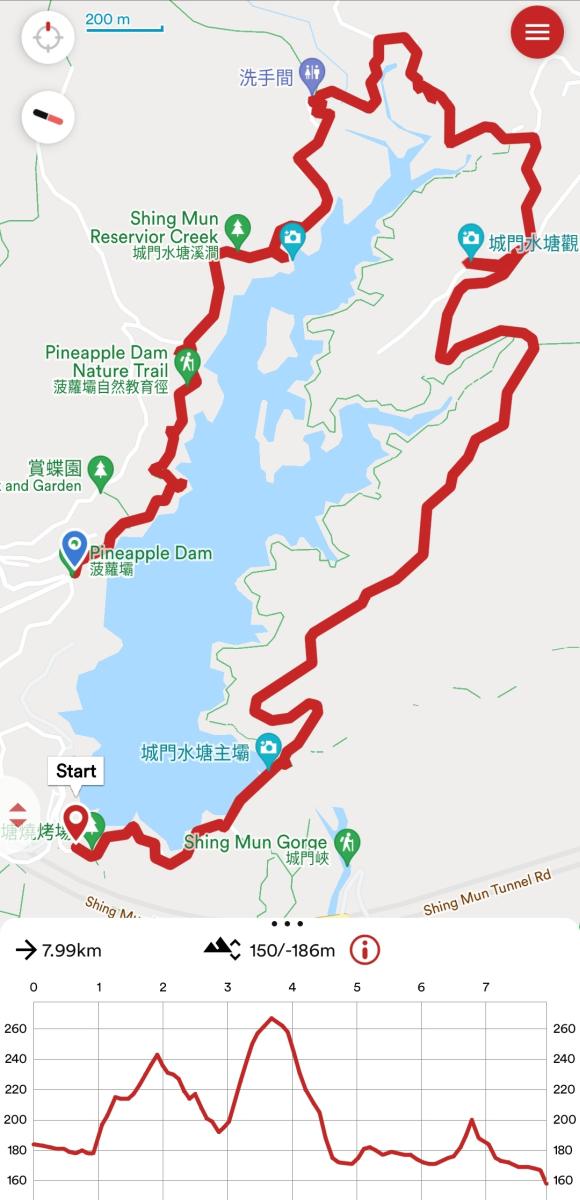
Shing Mun Reservoir Walk and Pineapple Dam Nature Trail map and elevation profile
For me, the scenic section of the Shing Mun Reservoir Walk is between the Pineapple Dam Nature Trail and the barbecue area at the start of Section 6 of the Maclehose Trail, as shown in the map above.
So, with that out of the way, let’s take a walk around Shing Mun Reservoir, and highlight the main points of attractions.
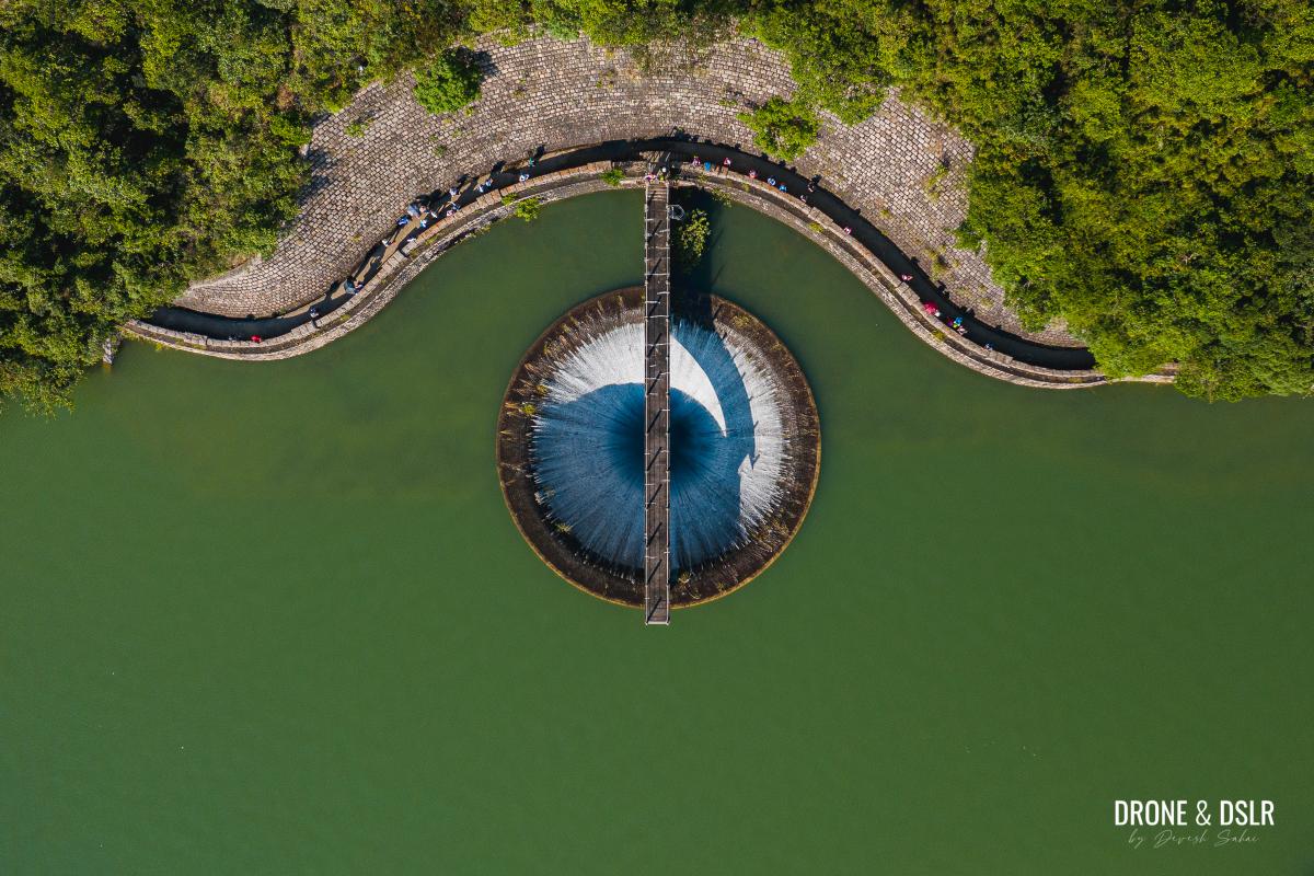
The reservoir glory hole overflows during the rainy season
To the main dam
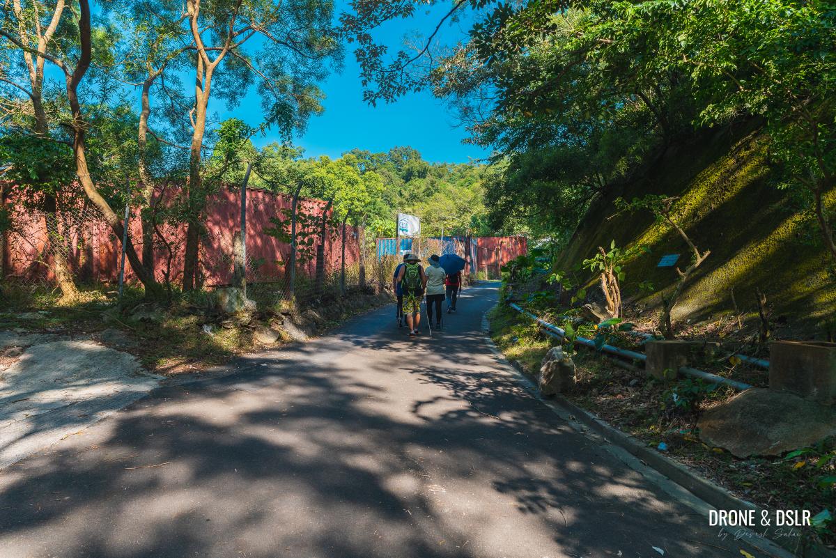
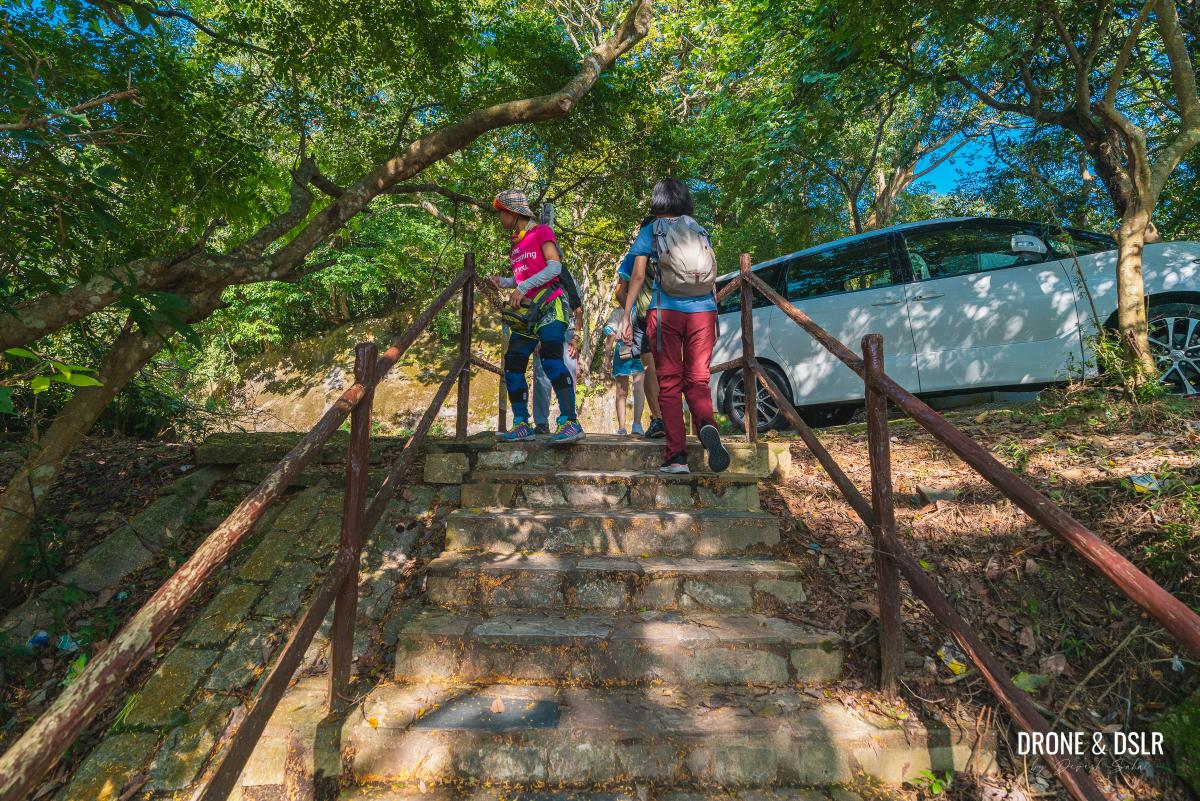
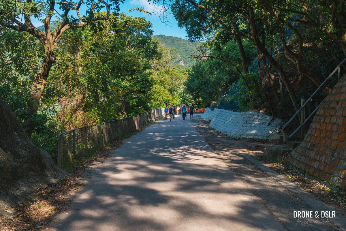
We’ve already described how to reach the reservoir from Lei Muk Shue Estate. The shortcut with the steps brings you out onto Maclehose Trail Section 7. Once here, turn right and walk along the road till you reach a barbecue area.
-
- Turn right and walk on the road
-
- The barbecue area next to the entrance for the Shing Mun War Relics Trail
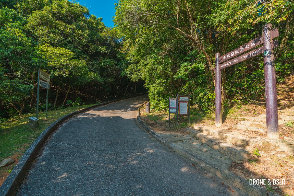
This barbecue area, with toilets, a vending machine for drinks, and a water fountain is the start of Section 6 of the Maclehose Trail, which is also the start of the Shing Mun War Relics Trail.
The Shing Mun War Relics Trail is one of my favourite war trails in Hong Kong. The trail takes visitors on a tour of a series of tunnels, that were part of the Gin Drinker’s Line, built on the side of the hill during WWII. We have a detailed guide on the Shing Mun War Relics Trail and highly recommend it if you haven’t seen the tunnels.
But for now, continue walking on Maclehose Trail Section 7. Along this section, there are plenty of views of the reservoir. But keep walking for a few minutes till you reach the main dam of the Shing Mun Reservoir.
-
- Stay on the Reservoir Walk
-
- Enjoying the first views of Shing Mun Reservoir

-
- No cars beyond this point
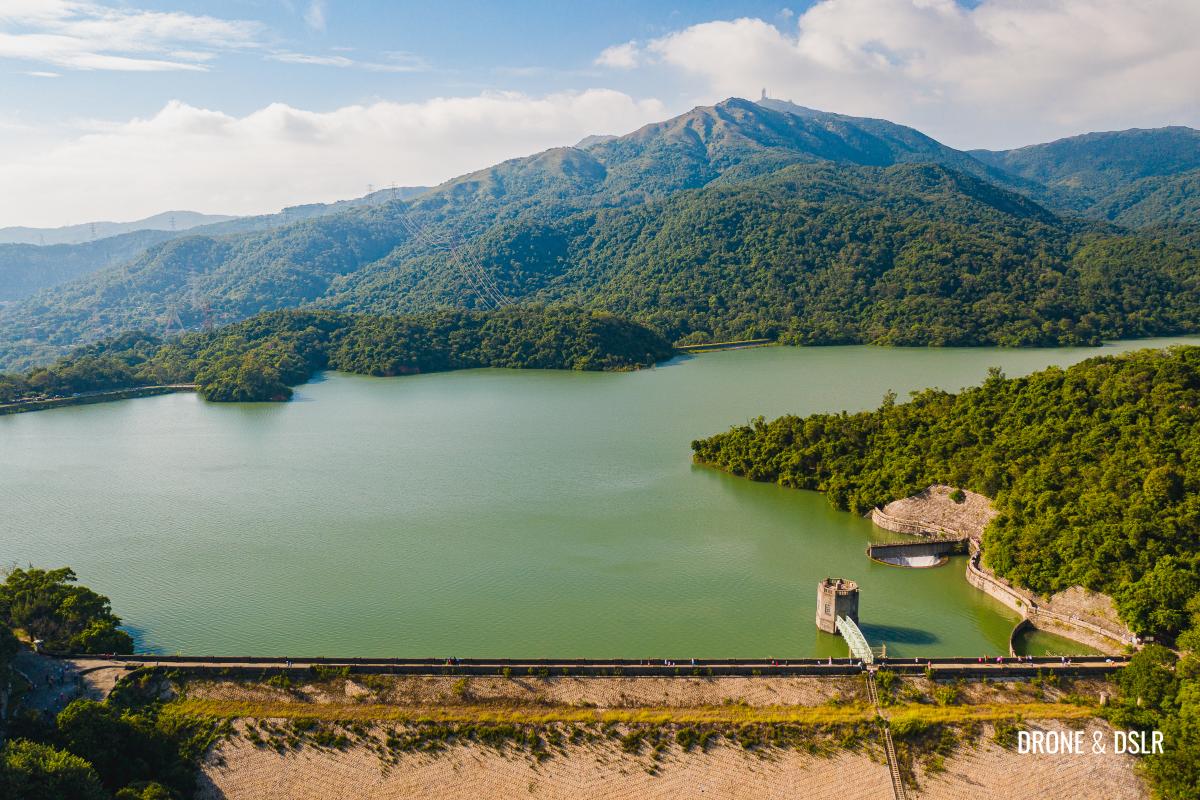
Shing Mun Reservoir Main Dam
The reservoir was once popularly known as the Jubilee Reservoir to celebrate the Silver Jubilee (1935) of King George V. However, I don’t think anyone refers to it by this name any more.
The Shing Mun Reservoir was built as part of the Shing Mun Water Supply Scheme to meet the increasing demand for freshwater and was the first reservoir to transfer water from Kowloon to Hong Kong Island. Construction began in 1933 and finished in 1937.

Looking down on the main dam of the Shing Mun Reservoir
The 280-foot main dam holds about three thousand million gallons of water inside the reservoir. At the start of the main dam is the memorial stone briefly mentions the history behind the reservoir.
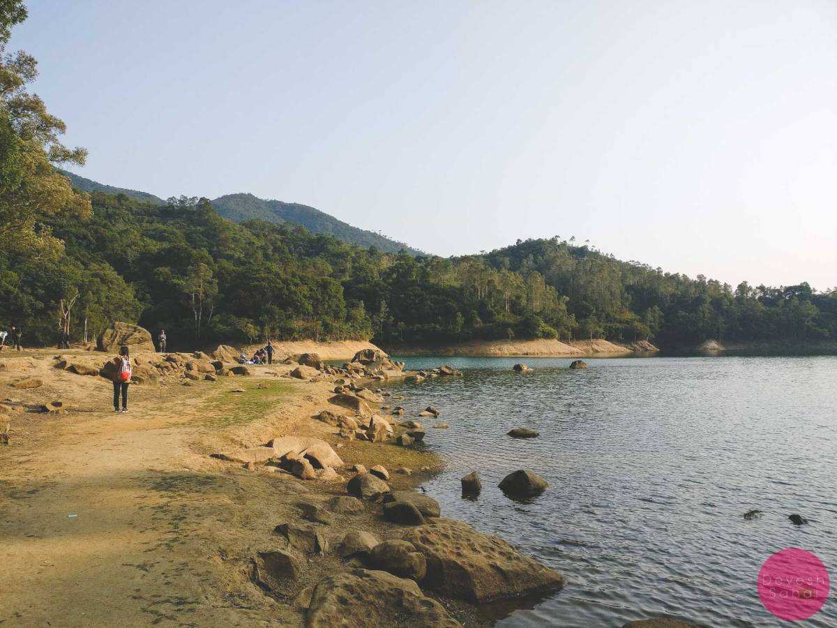
Standing on the main wall of the dam, you can truly admire the size of the reservoir, as it’s still waters reflect Tai Mo Shan.
-
- The Shing Mun Reservoir Memorial Stone

-
- On top of the Shing Mun Reservoir Main Dam

-
- The main dam, the reservoir, and Tai Mo Shan
-
- The main dam wall

On the other side, are the Shing Mun Gorge and the Lower Shing Mun Reservoir. We recently hiked from the Lower Shing Mun Reservoir to the Shing Mun Reservoir. And if it’s a clear day, you can also see Lion Rock far in the distance.
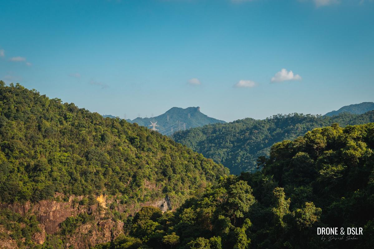
Lion Rock can be seen from the main dam on a clear day
I love the views and tranquillity of the main dam of the Shing Mun Reservoir.

The tranquil water of Shing Mun Reservoir with Tai Mo Shan in the background
After you’re done admiring the main dam, walk to the other side and take the steps. At the end of the steps are two paths – Section 7 of the Maclehose Trail that goes up to Needle Hill on the right, and the Shing Mun Reservoir Walk on the left.
-
- Take the steps at the end of the main dam
-
- Stay on the paved Shing Mun Reservoir Walk
To the first viewing point
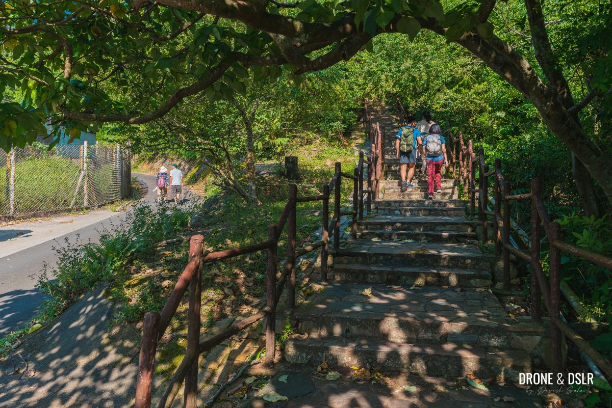
Walk on the paved track, as it twists and turns and begins its gentle uphill incline. Although the walk is relatively easy in most parts, there are a few very steep sections up ahead.
The Reservoir Walk begins
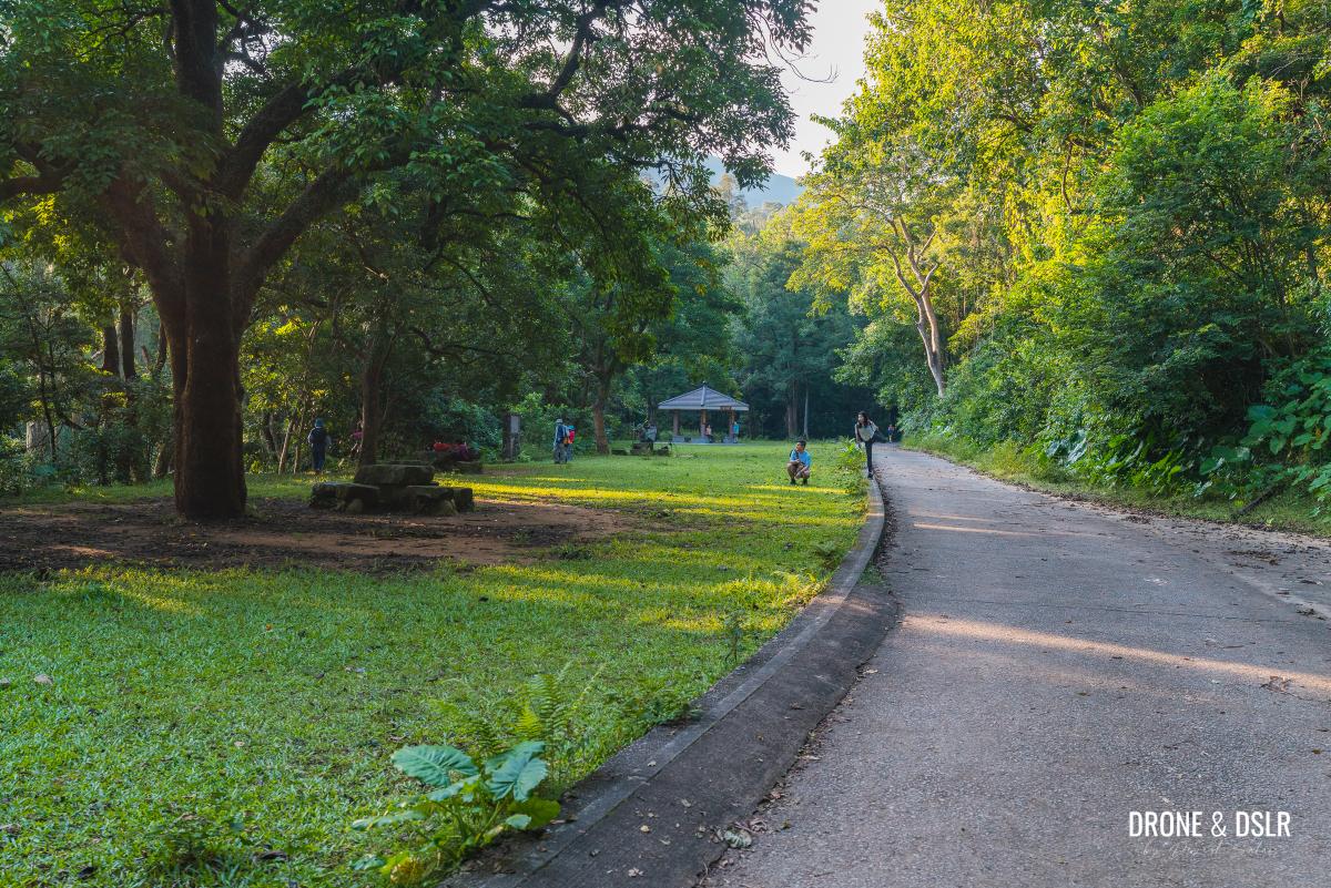
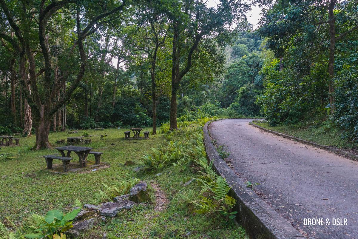
The initial section is at a gentle to moderate incline. It passes a beautiful picnic area almost every 5oo metres and offers plenty of glimpses of the reservoir.
-
- Dogs and humans enjoying the picnic areas

-
- Views of the reservoir and Tai Mo Shan

-
- There are over 20 picnic areas along the Reservoir Walk

After approximately 800 metres of walking, you’ll arrive at the first viewing point.
-
- The incline gets a bit more intense before the viewing point
-
- The first viewing deck

The viewing point is built like an open-air deck. The hardwood flooring, seating made out of logs, and the ropes add a beautiful touch to an already scenic view.

Spectacular views of Shing Mun Reservoir from the first viewing point
To the Grassy Hill Intersection
The next 1.5 km of the Reservoir Walk is a bit of a challenge, not initially but in the latter half.
-
- The walk is downhill after the first viewing point

-
- You can find these markers at every 500-metres along the Shing Mun Reservoir Walk

From the viewing point, the walk heads downhill on a shaded track. Unfortunately, there aren’t any views to be had from here.
Keep walking downhill
At the bottom of the hill, is another fairly large and beautiful picnic area. The track curves around the picnic area, and at the next bend begins its steep uphill climb!
-
- The beautiful picnic area just before the steep incline

-
- The incline begins after this bend

Fortunately, the steepest section is only 500 metres long. And at some point, I’m sure many would have questioned if this is a hike or a walk.
-
- The toughest part of the entire walk
-
- The final stretch of the incline

But as I said, the steep section is relatively short, and at the end of it is a resting area that intersects with the trail for Grassy Hill / Needle Hill and the second viewing point.

The Grassy Hill / Needle Hill Intersection
To the second viewing point
At the Grassy Hill Intersection, the track on the left leads you to the second viewing point. A short 100-metre walk brings you to a pavilion overlooking the reservoir and the city beyond.

The gorgeous views from the second viewing point
It’s worth noting that this is the highest point on the Shing Mun Reservoir Walk.
Shing Mun Leisure Deck detour (optional)
I’m sure by now you would have noticed a beautiful lookout point, with a pavilion, on top of a flat hill from both the first and the second viewing points. This is the Shing Mun Leisure Deck.
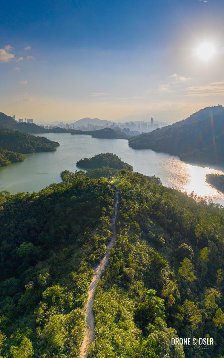
The path to the Shing Mun Leisure Deck
The Shing Mun Leisure Deck is a 360-metre detour (720-metre return) from the second viewing point. The signs and path are visible.
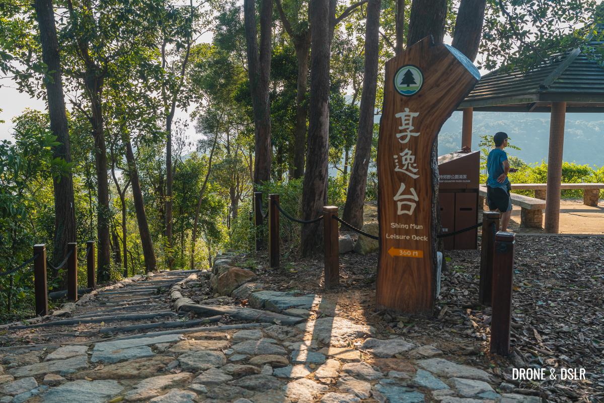
Take the path to the Shing Mun Leisure Deck from next to the pavilion
If you’re looking for the best, unobstructed views of Shing Mun Reservoir, I suggest taking the detour to the Shing Mun Leisure Deck.

The views from the Shing Mun Leisure Deck
To the Paperbark Tree Forest
After you’re done admiring the views from the second viewing pavilion and the Shing Mun Leisure, return to the Grassy Hill Intersection, and continue downhill on the Reservoir Walk track.

Return to the intersection and continue walking downhill
Although this section of the walk is all downhill, there aren’t many views. But depending on what season you’re visiting the reservoir, you may see a couple of streams and waterfalls along this section.
-
- The downhill walk begins

-
- Almost at the bottom of the hill

At the end of the downhill section, the track flattens before arriving at a large picnic area behind the Paperbark Tree Forest.
The picnic area behind the Paperbark Tree Forest
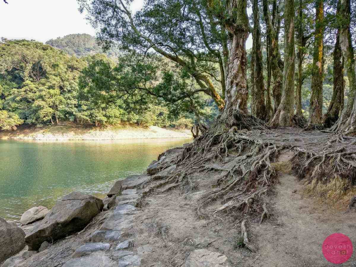
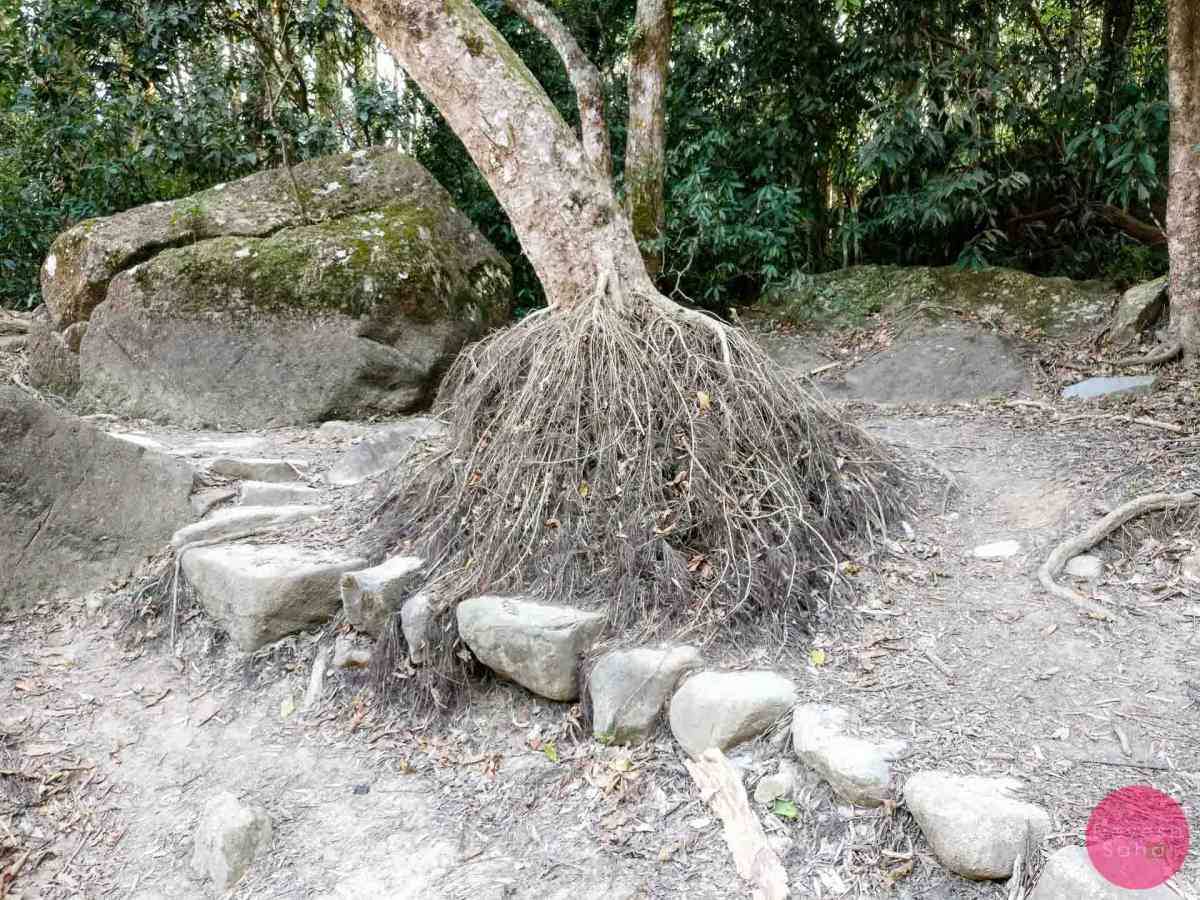
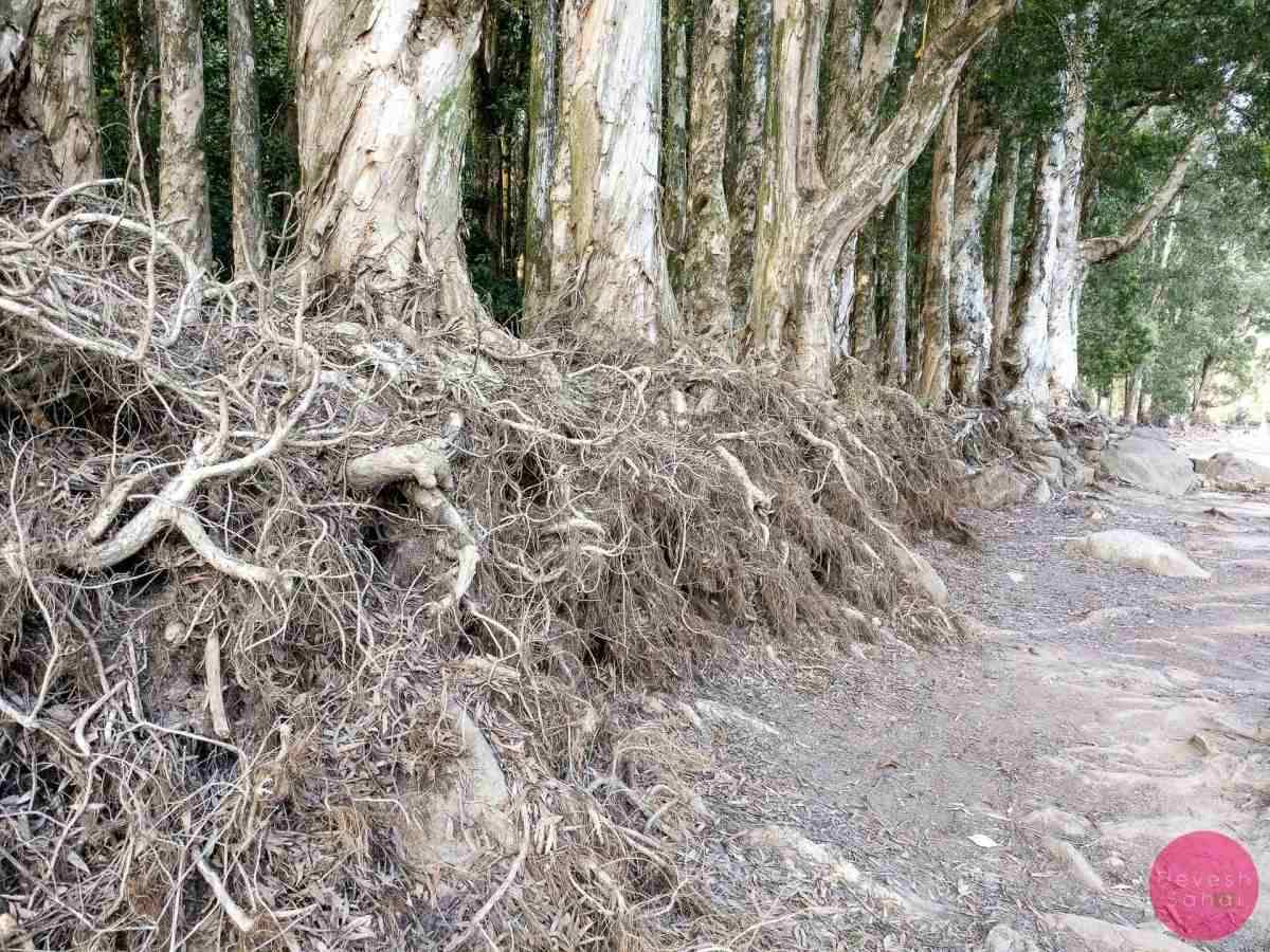
Once again, the entire look and feel of the forest changes with the season. During the dry season, when there is less water in the reservoir, the roots of the paperback trees are exposed. The ground is visible, and the entire area transforms into a gorgeous shore bank to sit on.
-
- The roots are visible in the dry season
-
- Fully exposed roots
-
- The exposed roots of the paperbark trees
-
- The Paperbark Tree Forest in the winter
-
- The shores are visible in the dry season
-
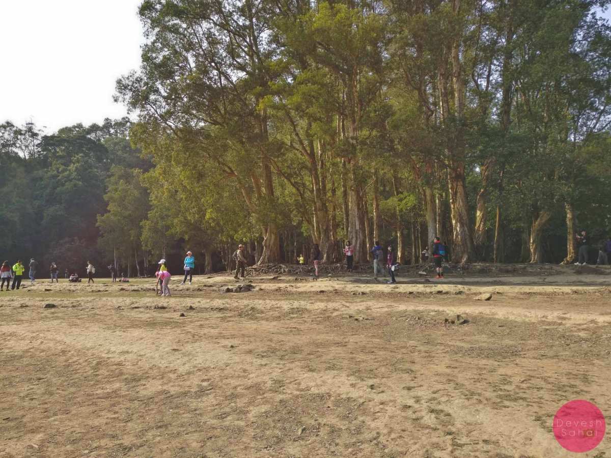
- People relaxing on the shores of Paperbark Tree Forest
But come the rainy season, when the streams are flowing into the reservoir, the water rises and submerges the bottom of the trees. During this time, the Paperbark Tree Forest becomes one of the most photographed natural attractions in Hong Kong!
-
- During the rainy season, the Paperbark Tree Forest gets submerged

-
- The submerged roots at the Paperbark Tree Forest

Also, during the dry season, it is possible to cut across the forest to reach the other side of the Reservoir Walk. However, when the forest is submerged, one has no choice but to walk around on the Reservoir Track.
Fun fact, the paperbark trees were planted by the government in the 1940s.

One of the most Instagram-worthy spots in Hong Kong
To Tai Shing Stream
Continue walking on the Shing Mun Reservoir Walk behind the Paperbark Tree Forest towards the Lead Mine Pass Intersection. The hike via the Lead Mine Pass ultimately ends in Tai Po. But to continue along the reservoir, follow the sign for Tsuen Wan and turn left.
,
-
- This part of the walk is extremely lush
-
- Turn left at the Lead Mine Pass Intersection

During the rainy season, the track around this section is extremely lush and beautiful! It crosses a couple of bridges over some streams, the largest of which is the Tai Shing Stream.

The bridge over Tai Shing Stream
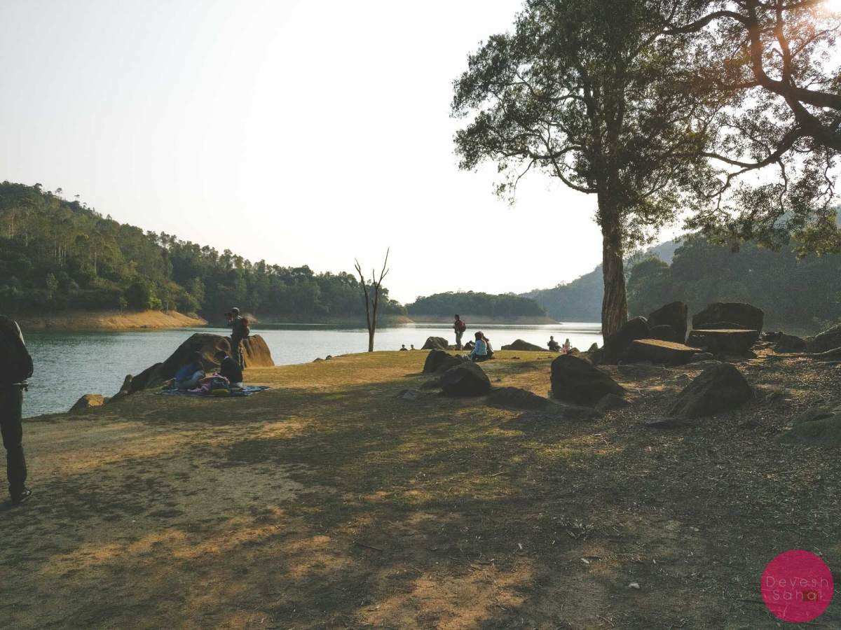
It’s hard to miss the sound of the gushing stream, especially after the rains. To get close to the stream, cross the bridge over it, and walk till you reach the large, open picnic area.

Tai Shing Stream can be accessed from this picnic area
From here you can walk down towards Tai Shing Stream. There’s also a toilet and water fountain in the vicinity.
-
- On the shores of the Tai Shing Stream

-
- Tai Shing Stream in full force

-
- Tai Shing Stream after the rains

-
- Like a fairy tale

Of course, during the dry season expect a trickle compared to the pictures above.
-
- The Tai Shing Stream bed when it’s dry
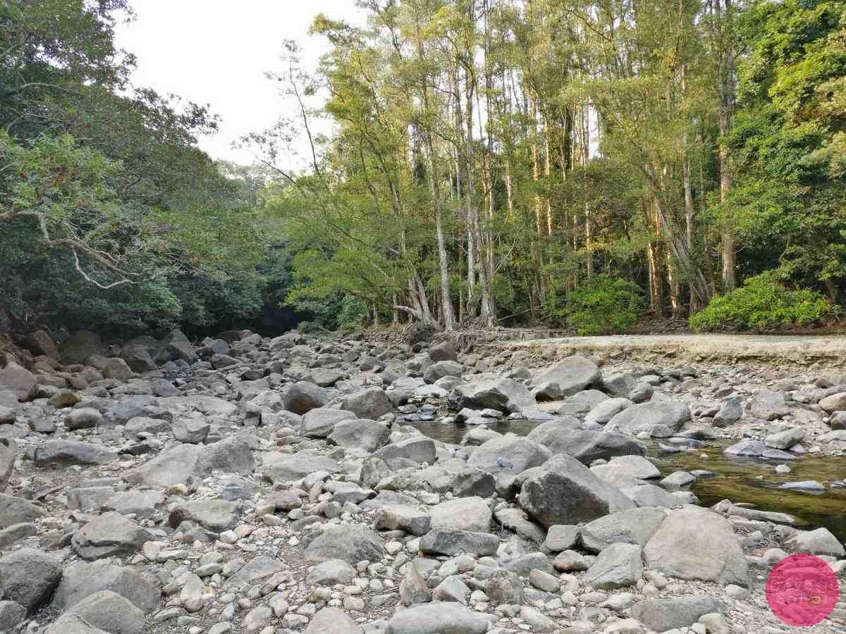
-
- A calm Tai Shing Stream in the winter
This large picnic area was once the paddy fields of the Cheung Uk Tsuen village. It was one of the eight villages that were evacuated when the reservoir began construction in 1928.
To the Paperbark Tree Grove
From the large picnic area, the Reservoir Walk remains flat as it continues along its final leg.
Return to the Reservoir Walk from the picnic area
After approximately 600-metres, keep an eye out for a path on the left. Walk down this path, and you’ll find yourself at the banks of the reservoir, surrounded by paperbark trees.

The Reservoir Walk runs along the shores
Depending on the water levels, you can stand amidst this grove of paperbark trees and admire them from close.
-
- Get close to the paperbark trees

-
- The views from the Paperbark Tree Grove

Please remember, there may be many macaques in this area. Just stay calm and walk past them. They’re used to human company.
Pass the Paperbark Tree Corridor
As you exit the Paperbark Tree Grove and continue on the Reservoir Walk, you’ll be immediately struck by the beauty of the Paperbark Tree Corridor. This short path, with strikingly tall paperbark trees, feels delightfully majestic.

The magnificent Paperbark Tree Corridor
After the Paperbark Tree Corridor, the Reservoir Walk approaches a gentle incline, with views of the reservoir on the left. And at the end of the incline, is the entrance to the Pineapple Dam Nature Trail.
-
- The final incline on the Shing Mun Reservoir Walk

-
- Where the Shing Mun Reservoir Walk ends and the Pineapple Dam Nature Trail begins

Pineapple Dam Nature Trail
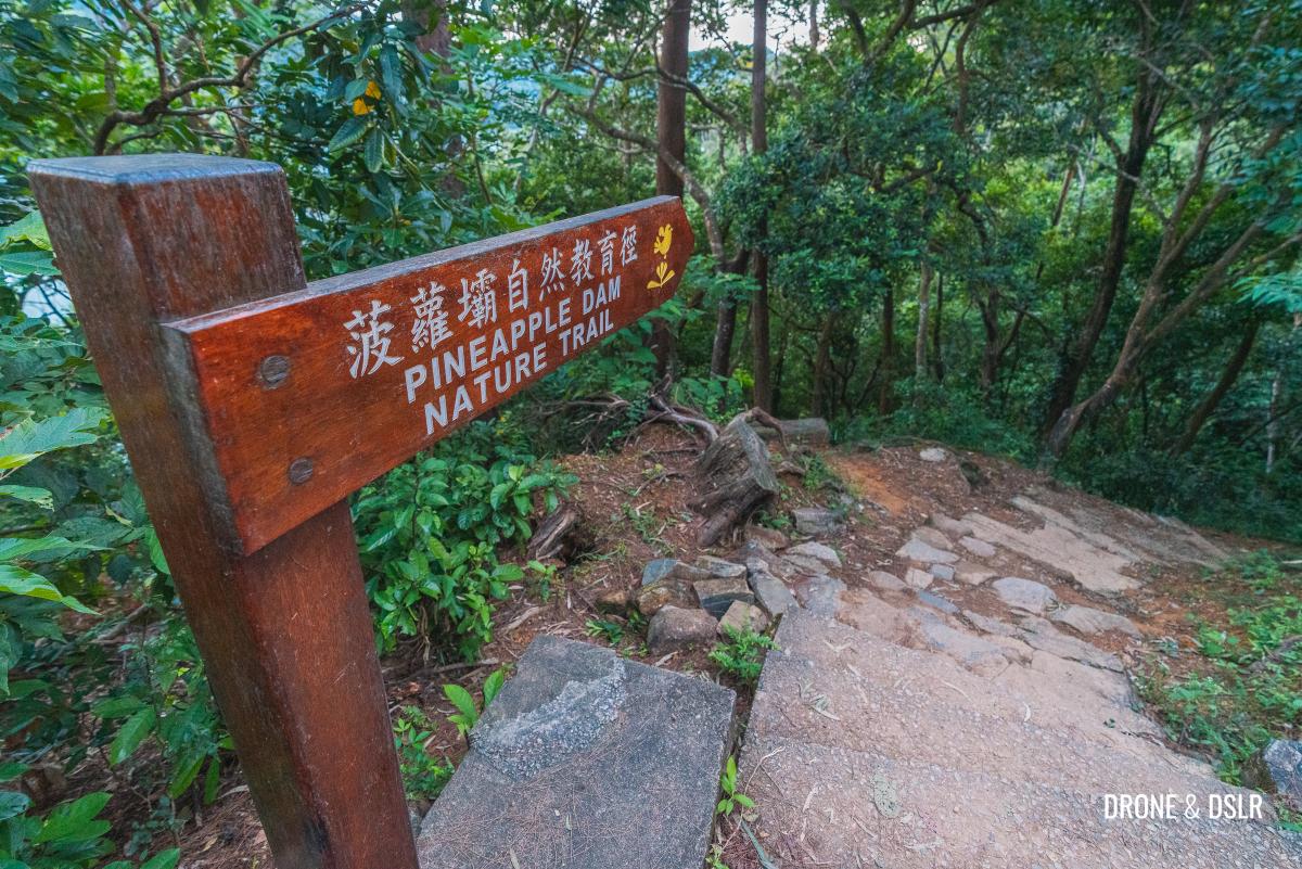
Follow the sign
Not to be confused with Pineapple Mountain, the Pineapple Dam Nature Trail is an 890-metre-long trail that runs along the western banks of the Shing Mun Reservoir. The dam, which is at the end of the trail, is so named because there were once many pineapple fields in this area.

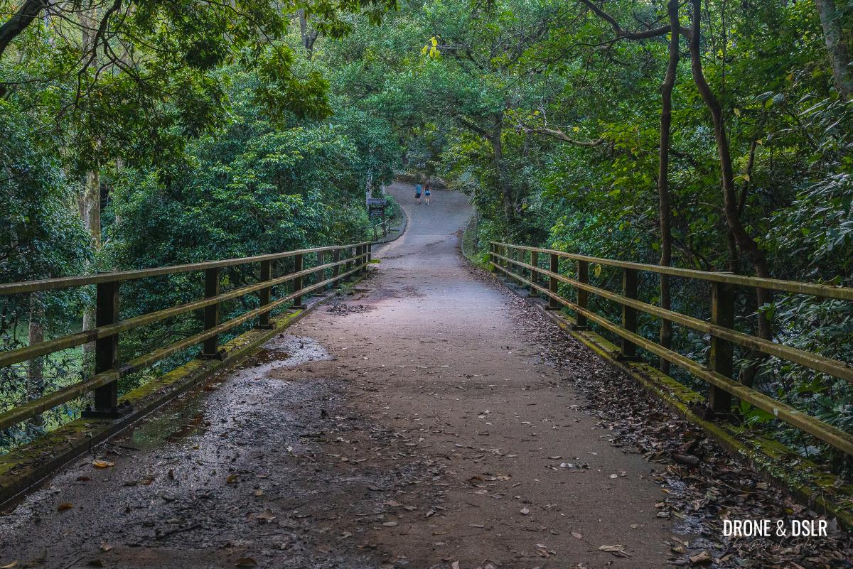
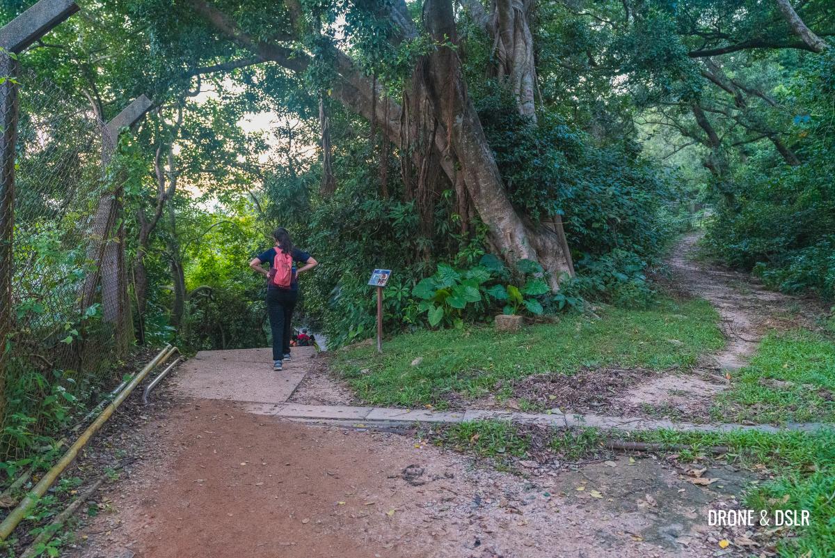
Walk down the steps to the Pineapple Dam Nature Trail
As you exit the Shing Mun Reservoir Walk, the steps take you down onto Pineapple Dam Nature Trail. If you’re visiting the trail after the rains, you may find a couple of streams at the end of the steps.

An elderly couple enjoying themselves sitting by the stream
Unlike the paved track of the Shing Mun Reservoir Walk, the Pineapple Dam Nature Trail is what the name implies, a dirt trail.

Admiring Shing Mun Reservoir from Pineapple Dam Nature Trail
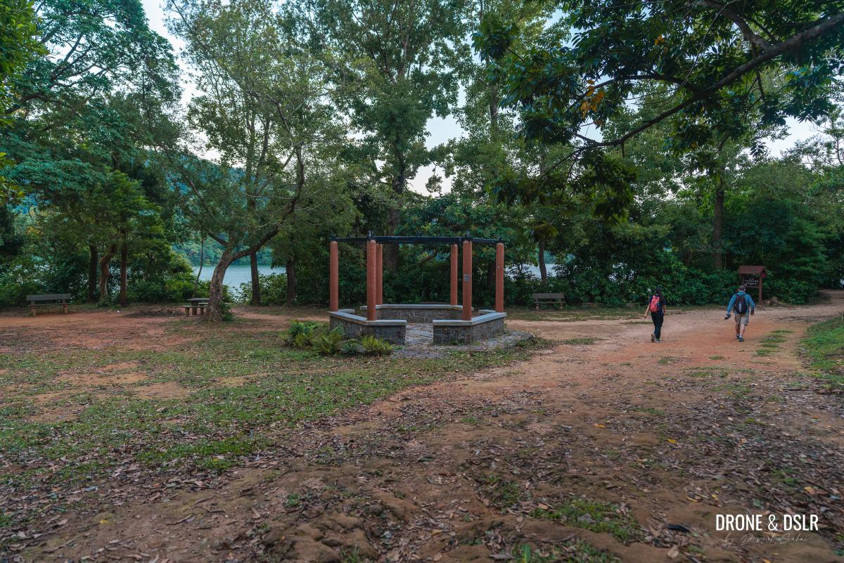
The trail runs alongside the reservoir, with a couple of picnic spots along the way. Needless to say, these picnic spots offer stunning views of the reservoir and surrounding hills.
-
- The trail isn’t at all like the paved Reservoir Walk

-
- The lush Pineapple Dam Nature Trail

-
- One of many picnic spots along Pineapple Dam Nature Trail
-
- Lush views from the picnic spots along Pineapple Dam Nature Trail

Towards the end of the Pineapple Dam Nature Trail, is a butterfly garden. I haven’t been inside the garden, so cannot vouch for it. But let us know your experience if you’ve ever visited it.
-
- The Butterfly Garden is a short detour from Pineapple Dam Nature Trail

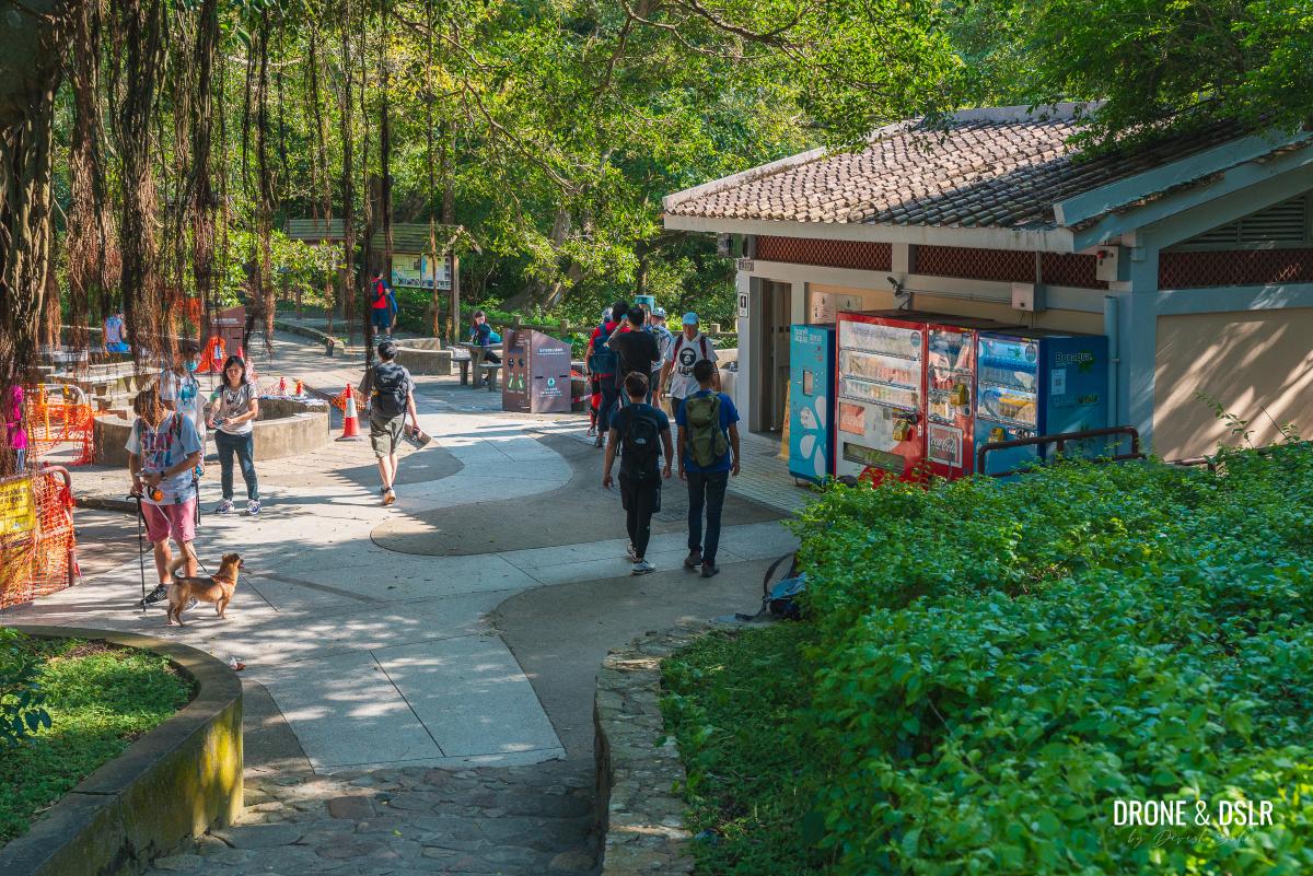
Just beyond the butterfly garden is the Shing Mun Country Park Visitor Centre. And beyond that is the bus stop for GMB 82 to Tsuen Wan.
-
- Stay on the Pineapple Dam Nature Trail

-
- Turn left and walk down the steps
-
- Walk past the Shing Mun Country Park Visitor Centre

-
- Waiting in line for the GMB 82

With that, you’ve completed the walk around the Shing Mun Reservoir!
Shing Mun Reservoir and Pineapple Dam
We hope you enjoyed our detailed guide to the Shing Mun Reservoir Walk and Pineapple Dam Nature Trail. I think that this is one of the most scenic reservoir walks in Hong Kong! But the Lau Shui Heung Reservoir is the most scenic in Hong Kong, especially during the winter with the surrounding autumn foliage.
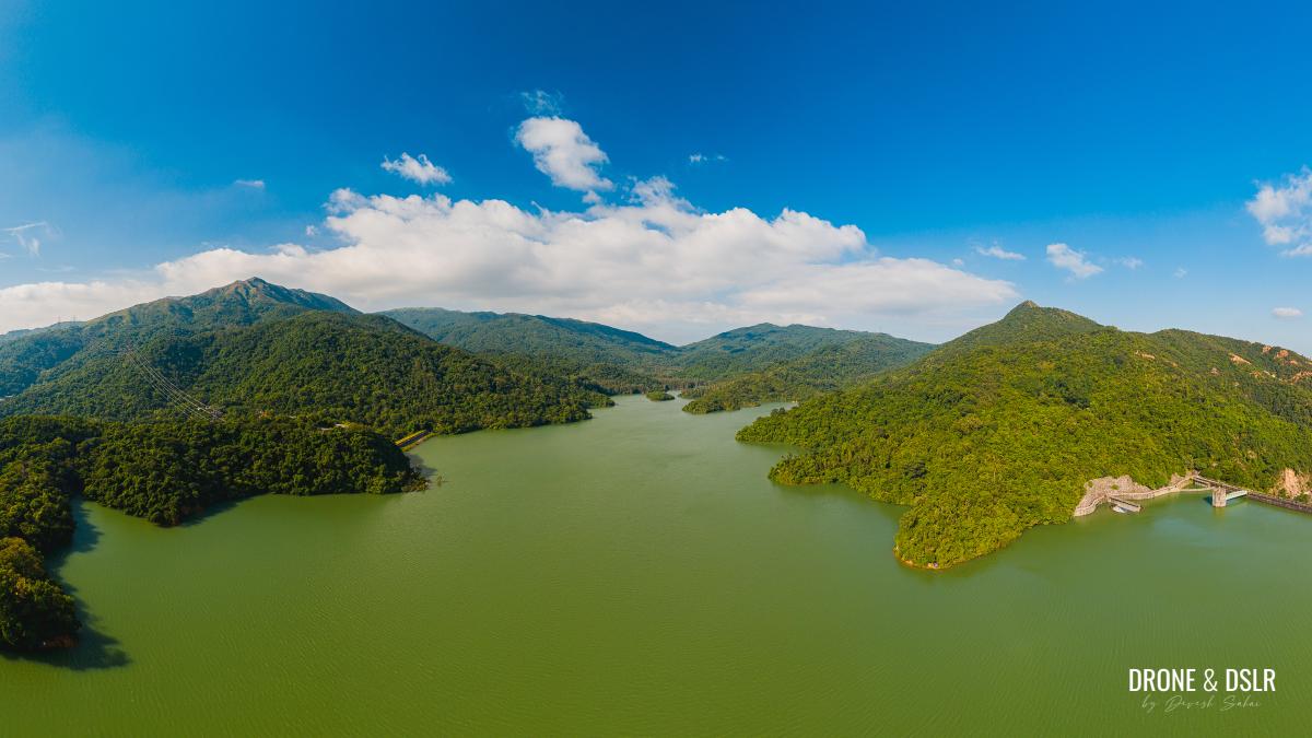
Panoramic view of Shing Mun Reservoir
The walks around Tai Tam Reservoir come close, and the hike to the Thousand Islands Reservoir is also unique. And the Kowloon Reservoir Hike is equally secluded and relaxed.

People walking on top of the main dam
And the next time you plan to return to Shing Mun Reservoir, be sure to visit the Shing Mun Reservoir War Relics Trail, hike up to Needle Hill or complete the Lower Shing Mun Reservoir Hike.
As always, feel free to share this post on the social media channel of your choice or drop us a comment below.
If you enjoy our work, come join us on Instagram and YouTube.

Discover more walks and hikes around reservoirs in Hong Kong

You might also like


2 Comments
Another very useful and comprehensive guide. Just finished this walk with our dog and loved it. Crucial tip was to do it in reverse – we were pretty much alone whilst there were big crowds coming the other way.
Thanks, Chris!
Yes, that’s one of the reasons why we like doing in reverse too!