
Kau Keng Shan (九逕山), the second-tallest peak in Tuen Mun, may not be as popular a hiking destination as its taller neighbour, Castle Peak. However, that doesn’t make it any less challenging or fun.
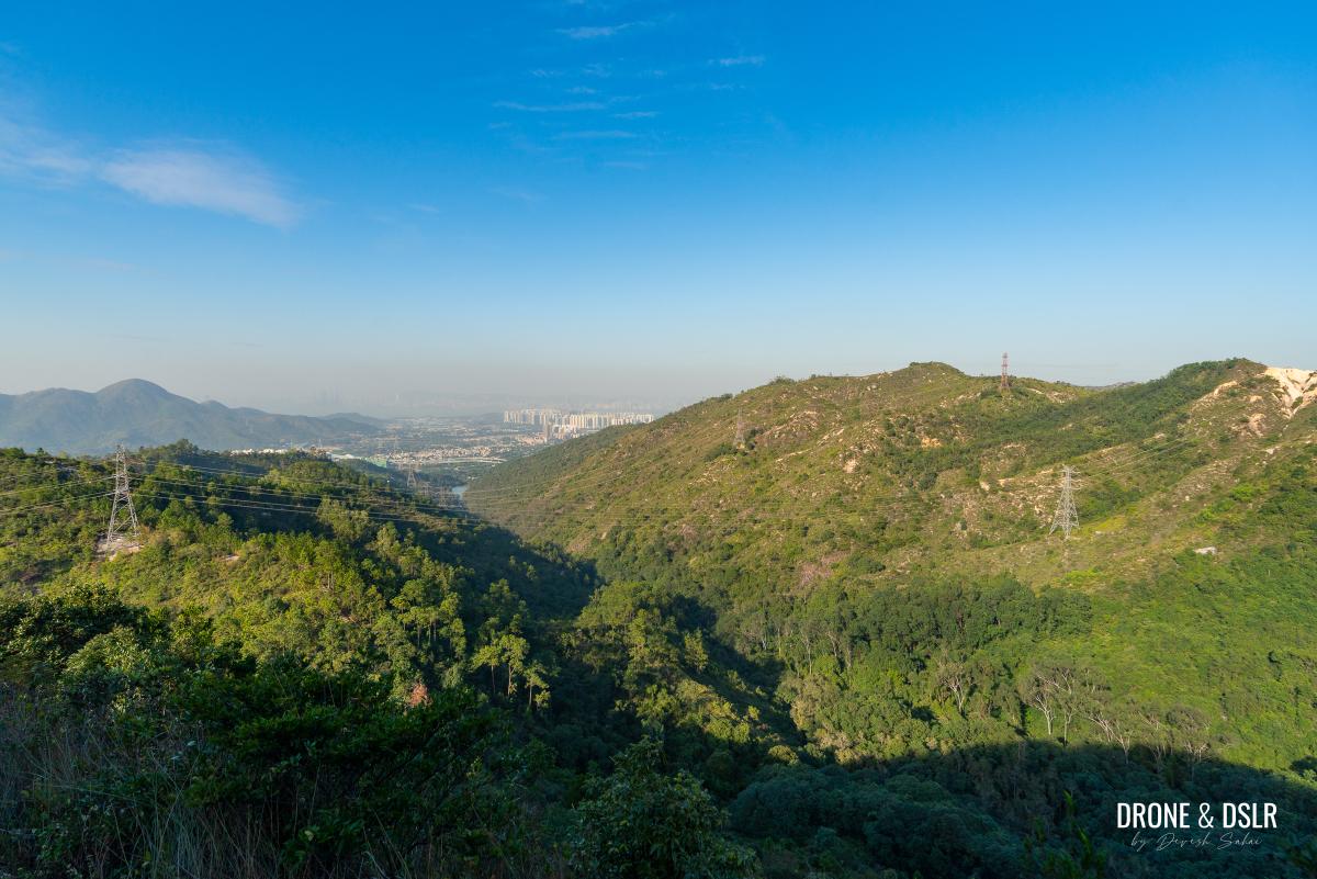
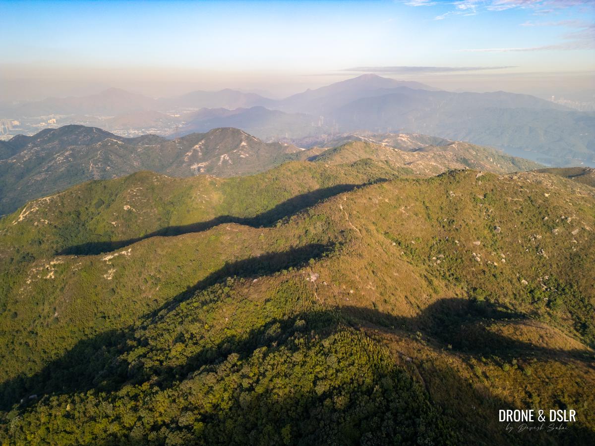
Kau Keng Shan, Tuen Mun’s 2nd tallest hill (Castle Peak being the tallest is also in this pic)
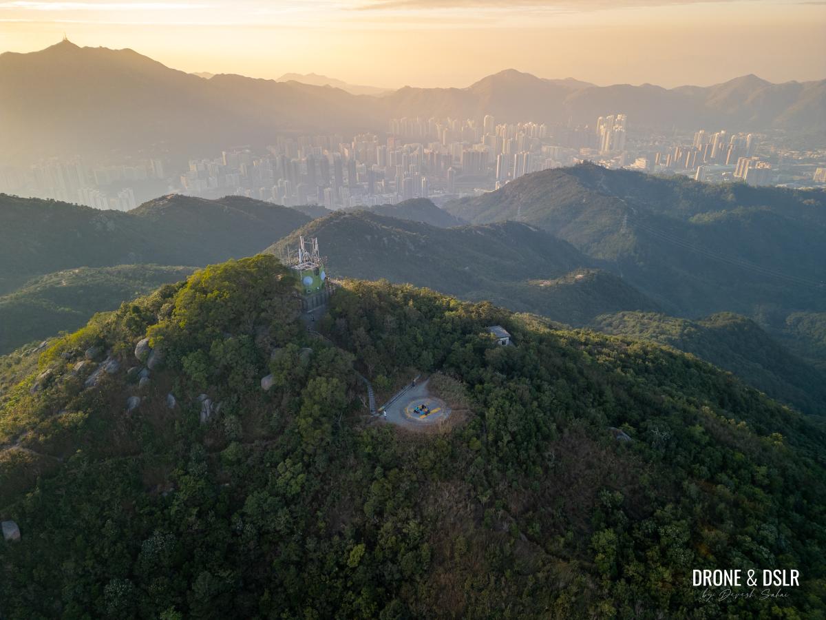
Located directly across from Castle Peak, Kau Keng Shan is easily recognizable from afar thanks to the microwave station at its summit, much like the transmission station on top of Castle Peak. The similarities extend to the hike itself, which, though short, is extremely steep and rewards hikers with breathtaking views of Tuen Mun, Yuen Long, Tai Lam Country Park, and even Shenzhen on a clear day.
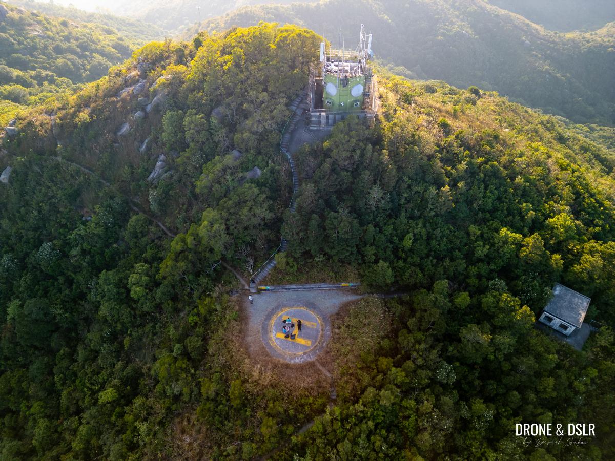
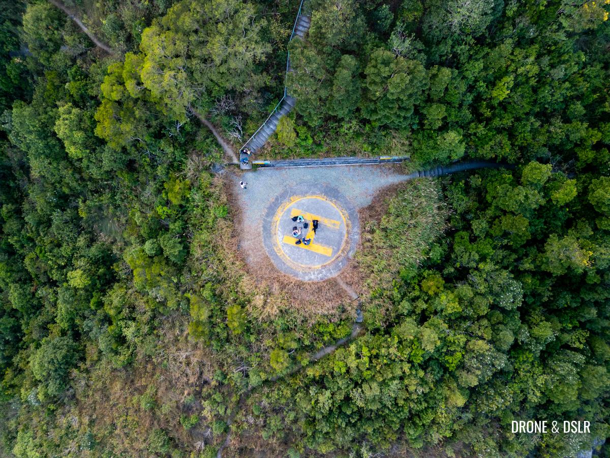
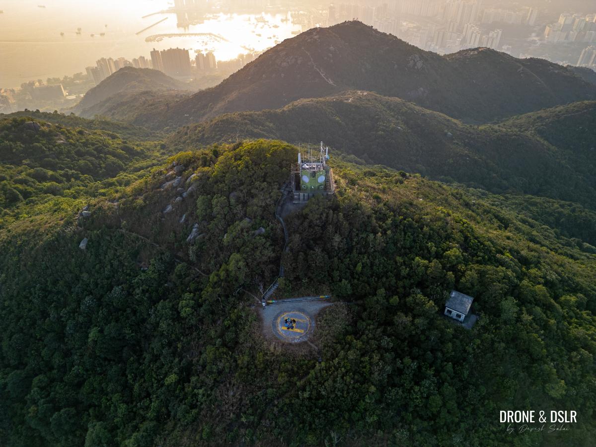
The three structures on Kau Keng Shan — helipad, microwave station, and the fire lookout
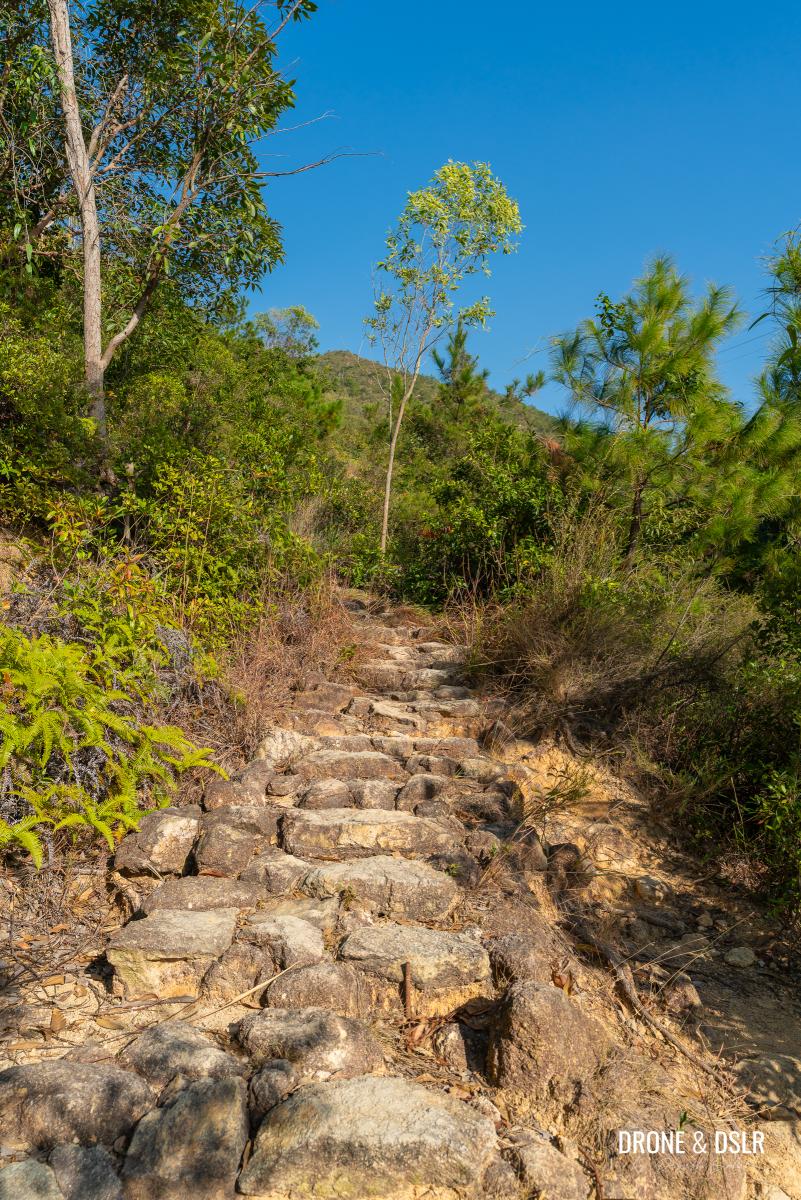
One of the trail’s most notorious sections is the Kau Keng Shan Sky Steps (九逕山天梯), a steep final ascent leading to the summit. But before tackling that, let’s talk about the hike itself.
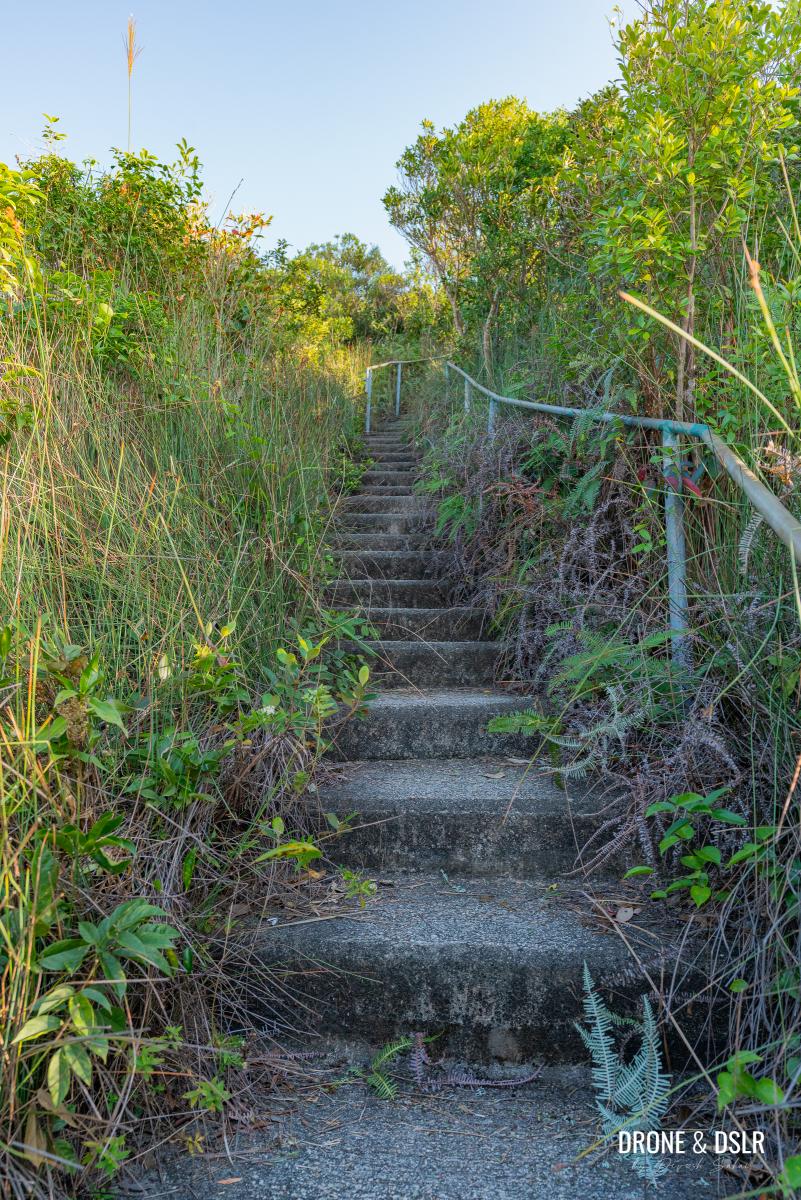
The Kau Keng Shan Sky Steps
About The Kau Keng Shan Hike
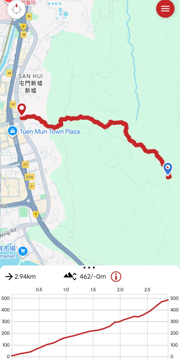
Kau Keng Shan Hike Trail Map
There are several trails leading to Kau Keng Shan, but only one is officially maintained. Well, most of it is (about two-thirds, to be precise). The other routes are far rougher and more treacherous.
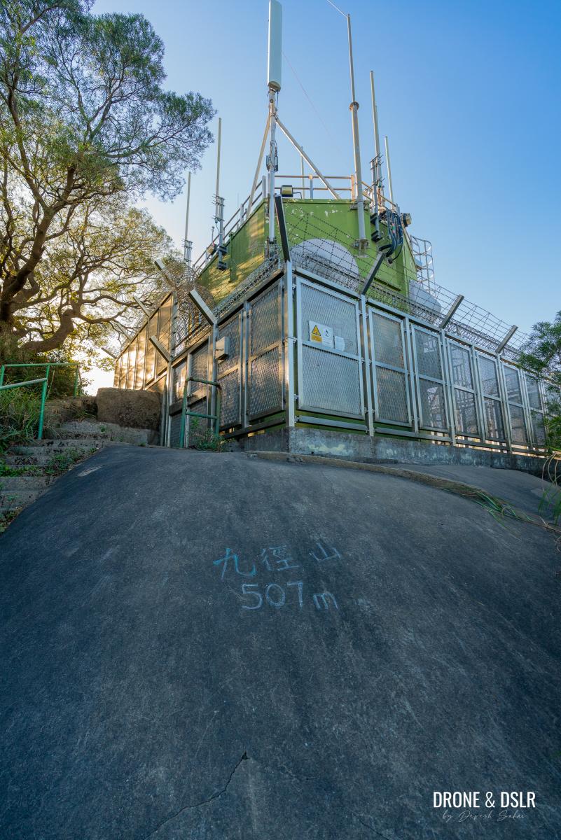
The hike covers a 507-metre ascent over 2.6 km, starting close to Tuen Mun Town Plaza. In fact, the trailhead is at the M200 marker, the endpoint of the MacLehose Trail.
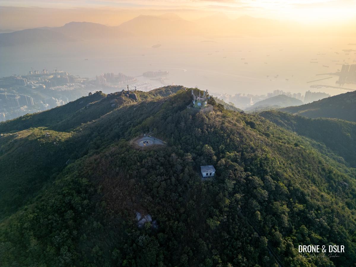
A bird’s eye view of Kau Keng Shan
As you’d expect, this hike is an uphill battle from the very beginning. Steps and slopes dominate the entire route, all the way to the summit. It’s a serious cardio workout, but the stunning views at the top make every step worth it.
With that, let’s dive into the Kau Keng Shan Hike.
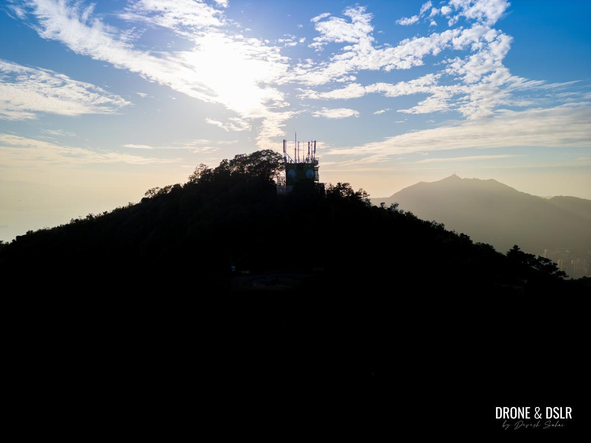
Kau Keng Shan with Castle Peak in the distance
Starting Point
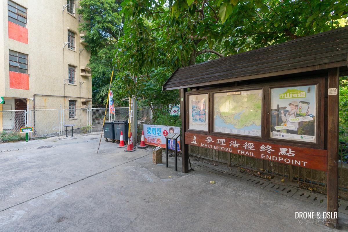
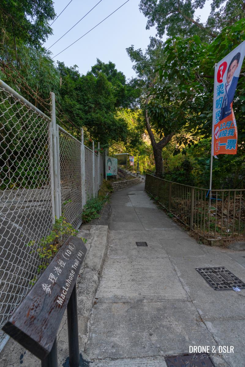
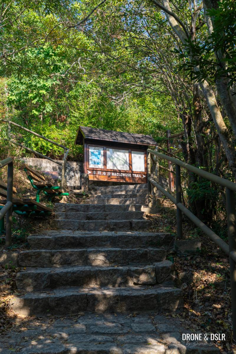
The Kau Keng Shan Hike starts at the MacLehose Trail Endpoint (M200), located on Castle Peak Road – San Hui in Tuen Mun.

Cross Castle Peak Rd – San Hui in Tuen Mun to get to the MacLehose Trail Endpoint
For the best route to the trailhead, check Google Maps, it’ll help you find the easiest way based on your starting point. The hike begins right next to Tuen Mun Town Plaza, so that may help with navigation.
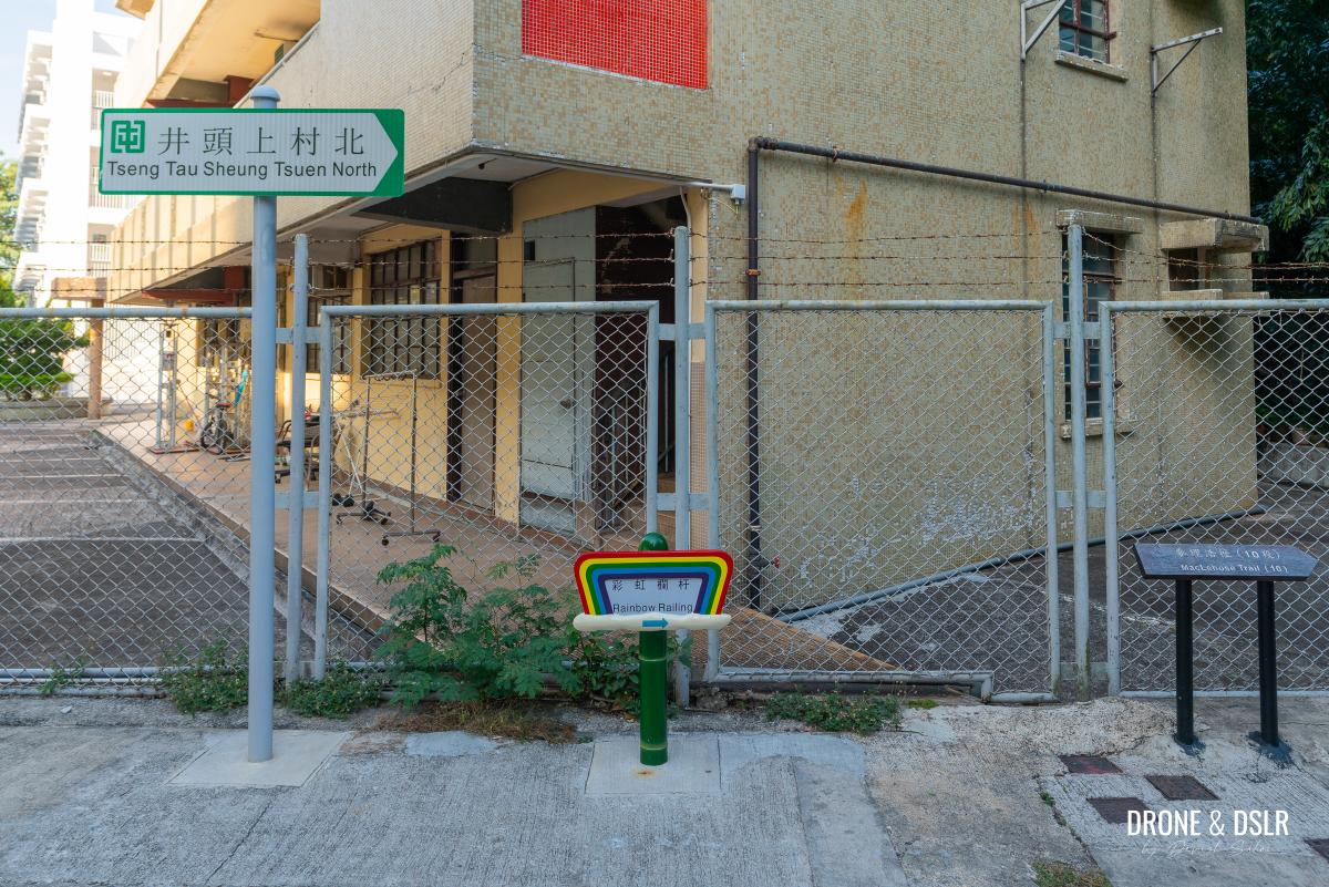
Once you arrive, look for signs pointing toward the MacLehose Trail and the Rainbow Railing, that’s where the hike starts.
-

- The MacLehose Trail Endpoint (M200)
-
- Your starting point
Follow Maclehose Trail to Tuen Mun Trail
The trail begins with a gentle, streamside incline along the MacLehose Trail. Soon, you’ll pass through a sparse village with scattered houses.
-
- Follow the signs for Maclehose Trail Section 10
-
- Gentle incline to begin with
-
- Now entering the village
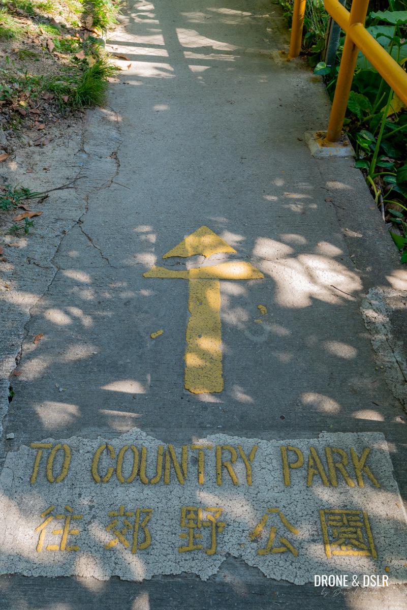
This section has multiple trail splits, but don’t worry, just watch for the “To Country Park” signs painted on the ground. Let them guide you.
-
- Turn right at this junction — remember to look at the ground for the signs to the country park
-
- Just follow this sign when walking past the village
Follow these markers until you’ve cleared the village and reach a three-way junction. Here, turn left and continue along the fence bordering one of the area’s freshwater reservoirs.
-
- Stay right — remember to look for the arrow and sign on the ground
-
- Keep climbing till the end of the village
-
- Turn left and follow the signs for Maclehose Trail
-
- Walk along the fence to one of the Tuen Mun reservoirs
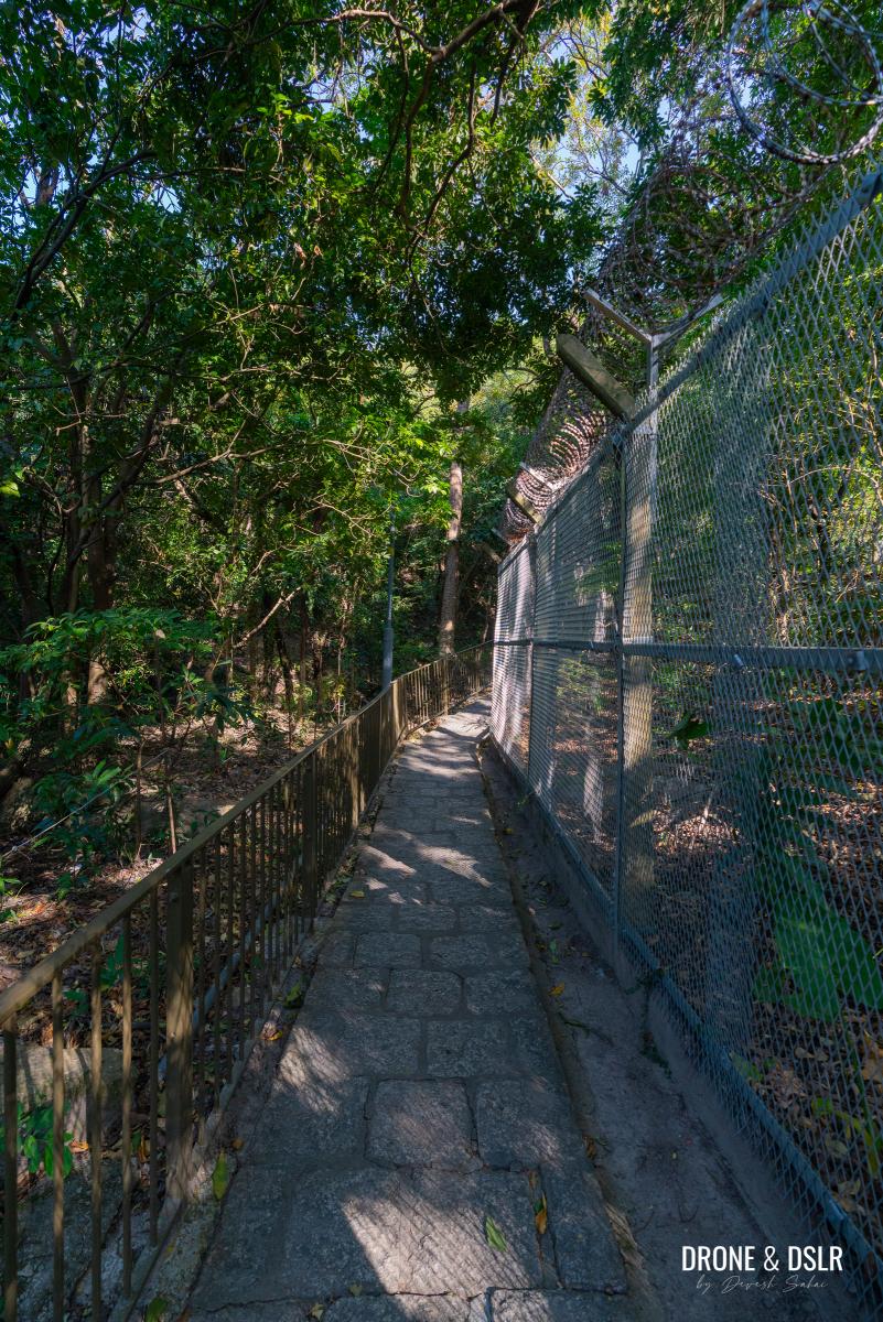
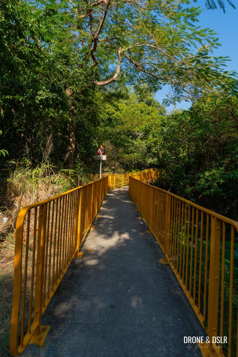
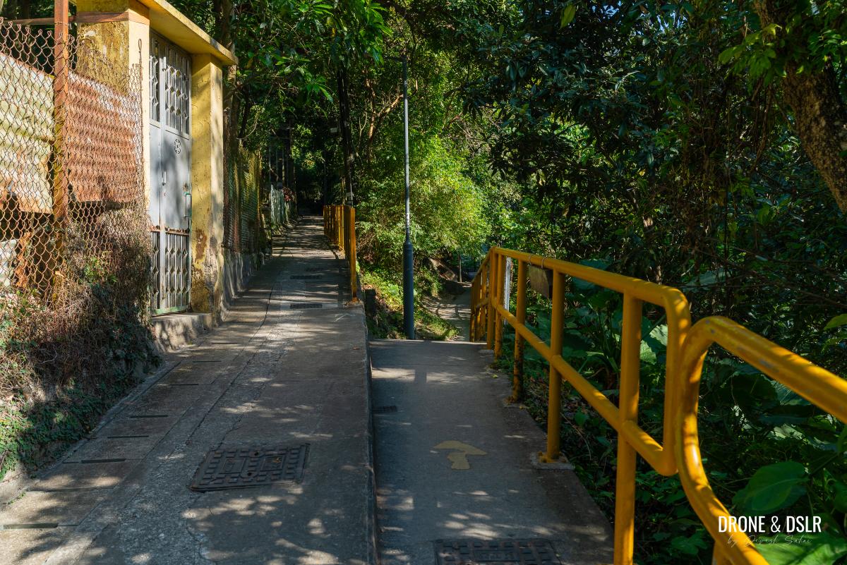
At the end of this stretch, the trail veers left over a footbridge, leading to a flight of steps. While the climb is moderately steep, the shade from the trees makes it more manageable on sunny days.
-
- At the end of the fence, turn left and continue following the signs to Maclehose Trail
-
- Follow the steps after the footbridge
-
- The steps are fairly challenging
Take your time ascending, and you’ll soon reach a landing with a large information board.
Almost at the end of the first flight of steps
Briefly follow Tuen Mun Trail
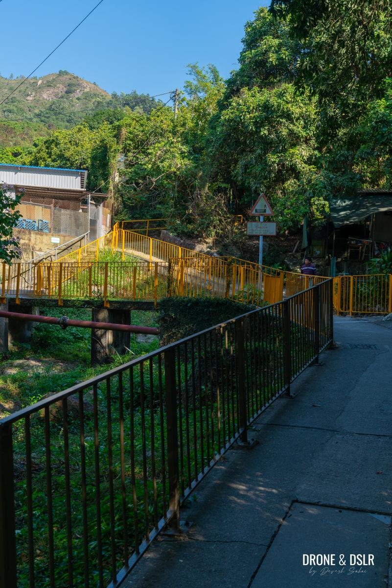
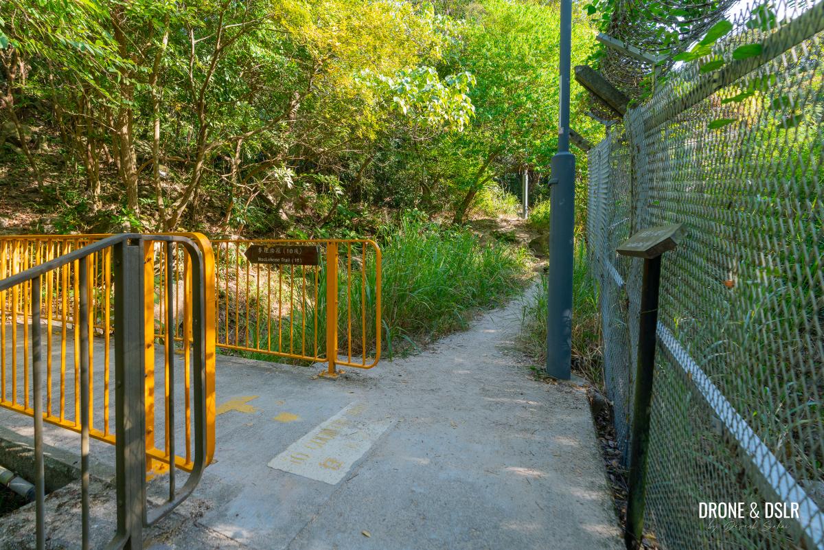
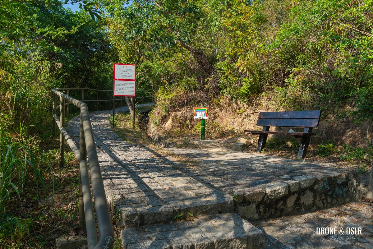
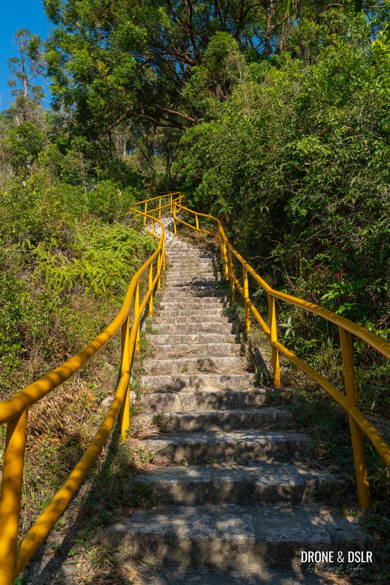
At the landing, you’ll see arrows directing you right toward the Tai Lam Country Park entrance along the MacLehose Trail. Instead, turn left onto the Tuen Mun Trail, following the signs for the Rainbow Railing.
-
- At this point, stop following Maclehose Trail. Do not turn right.

-
- Turn left after the steps and follow the signs for the Rainbow Railing
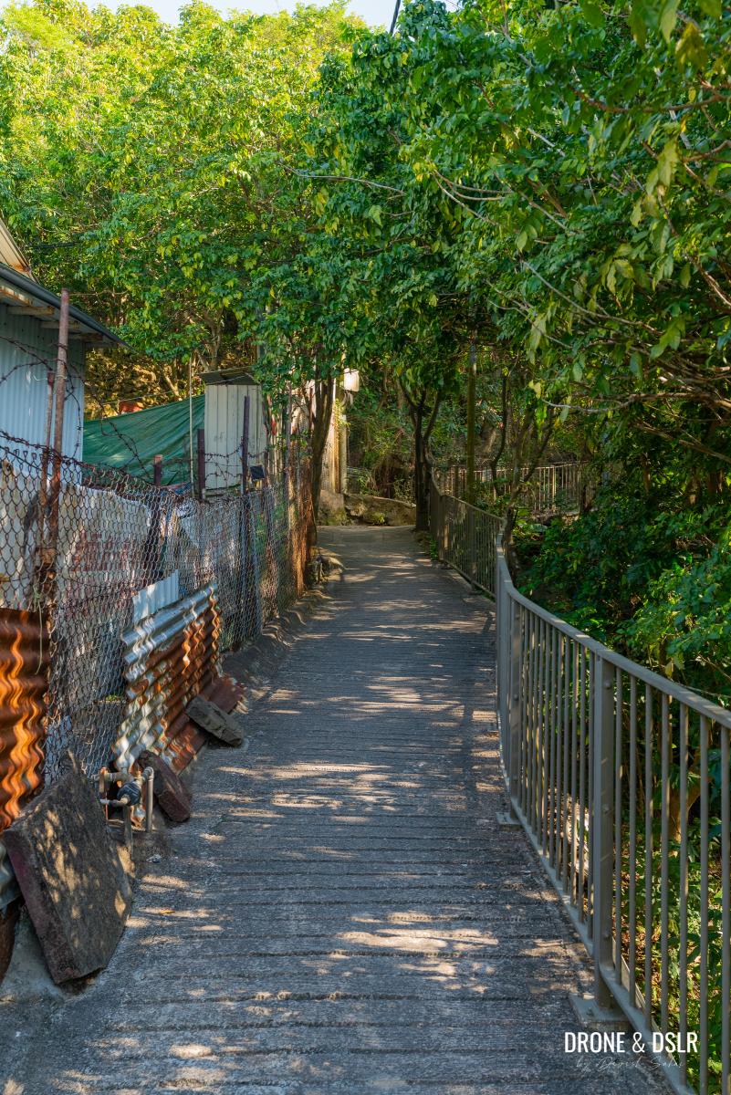
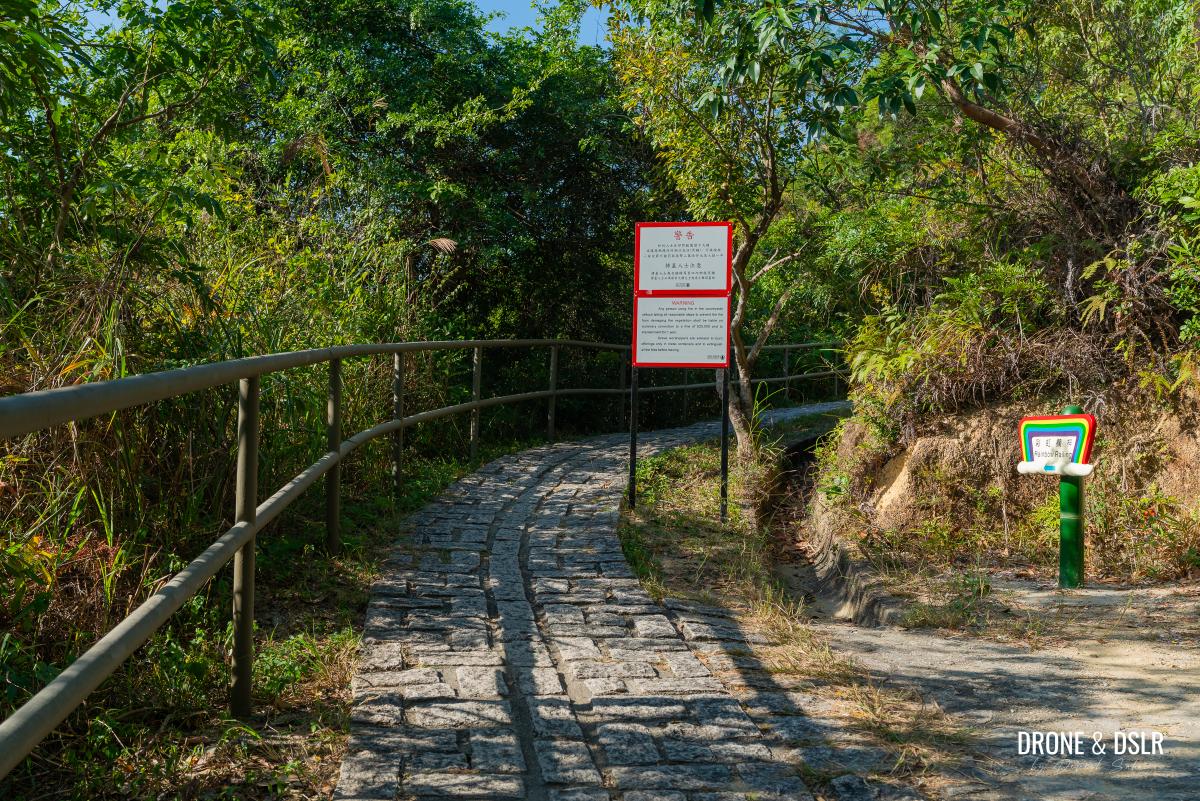
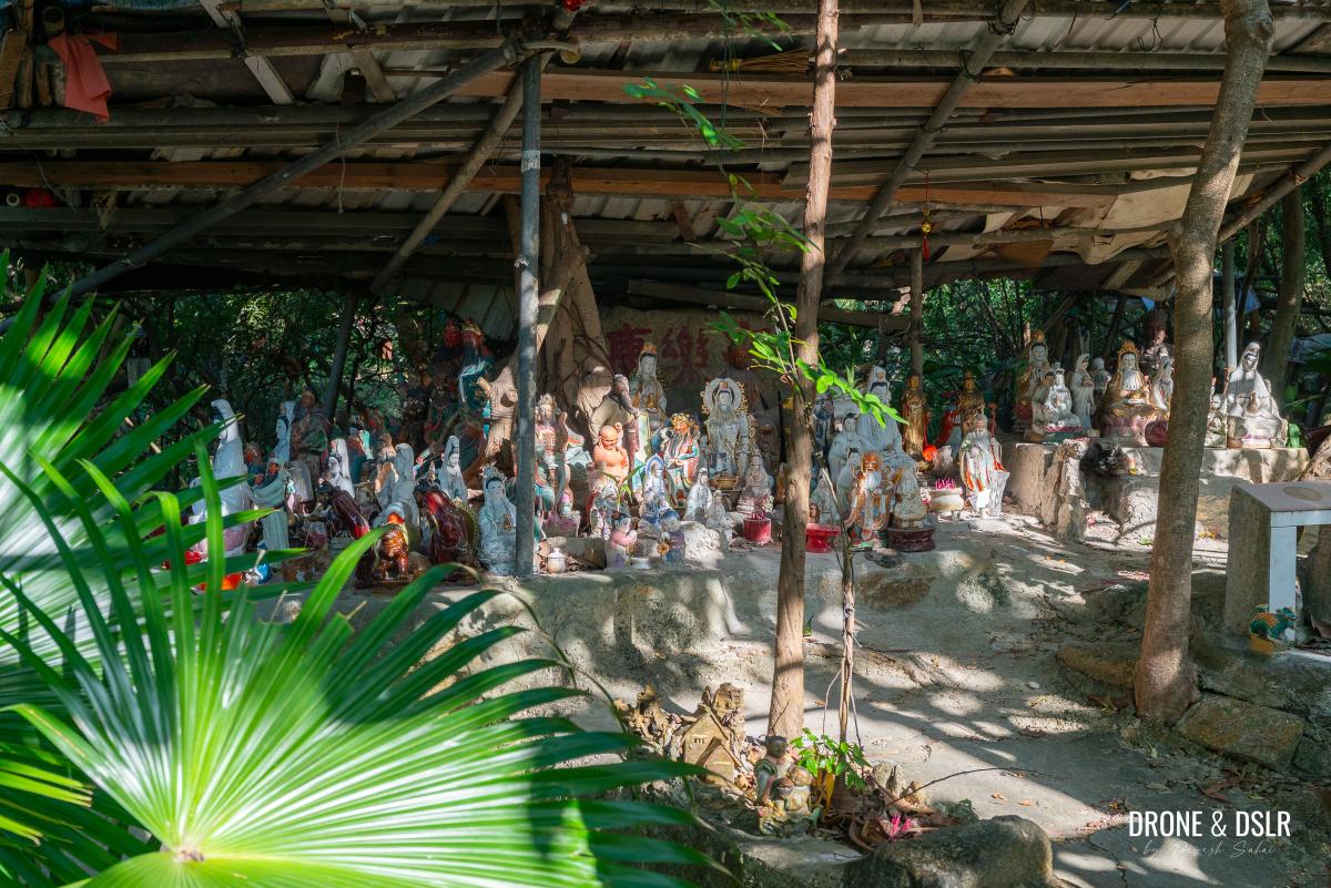
Follow the paved trail as it gently climbs up towards a canopy of trees. Under the trees, is a collection of religious statues, and a resting area.
-
- Continue on this trail to head towards Kau Keng Shan
-
- A gentle incline towards a canopy of trees
-
- Walk past this collection of religious statues
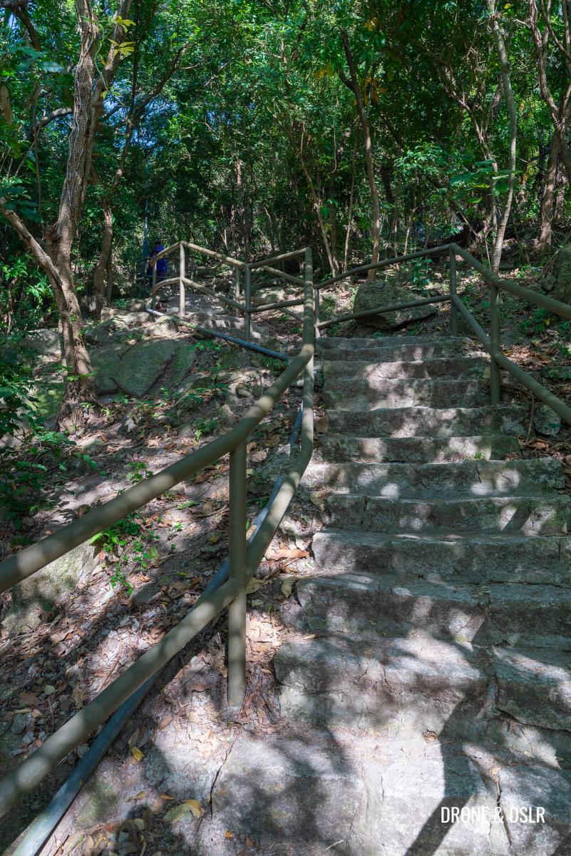
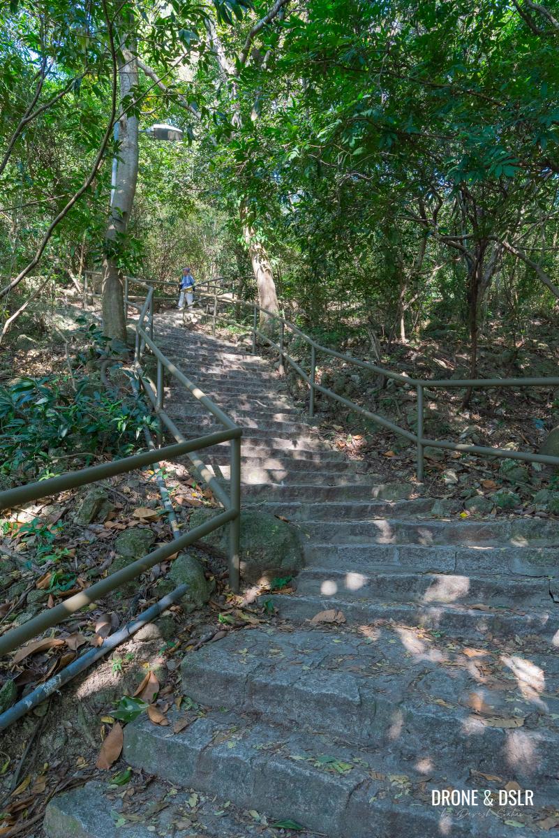
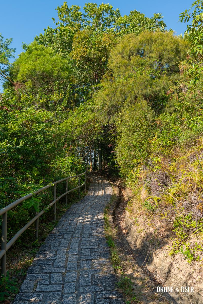
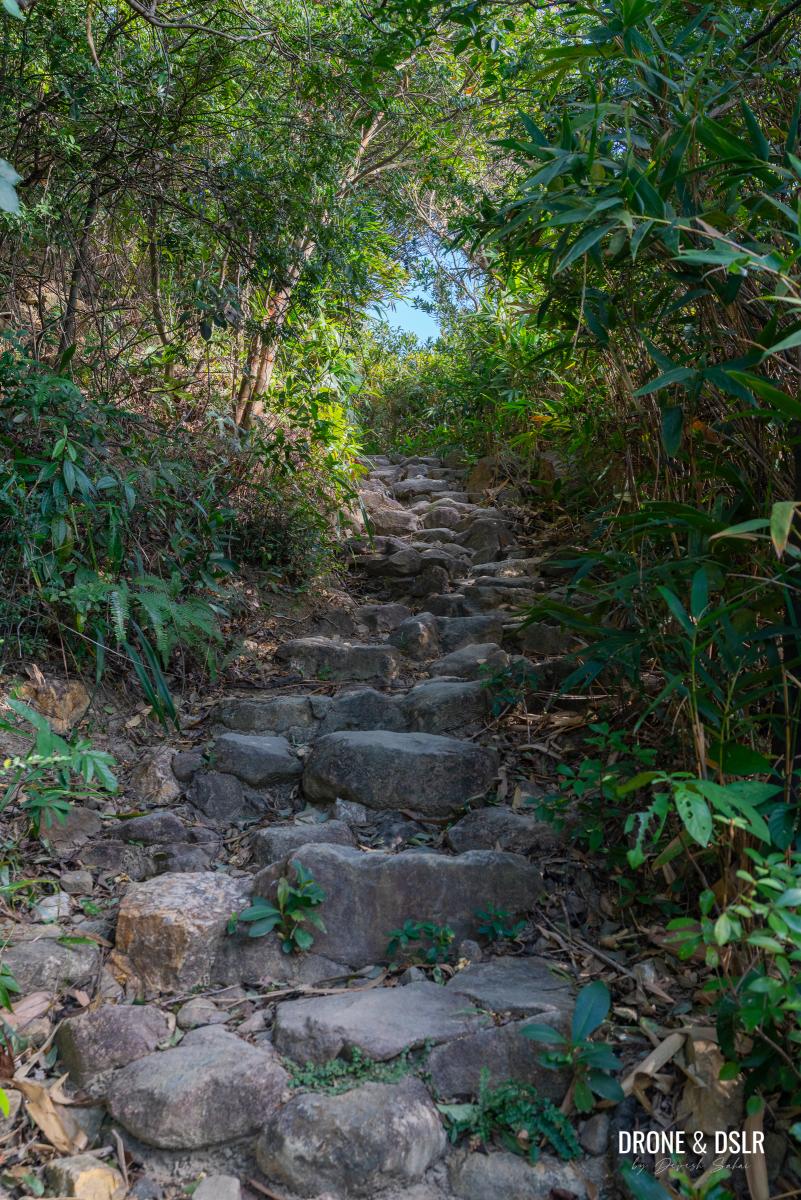
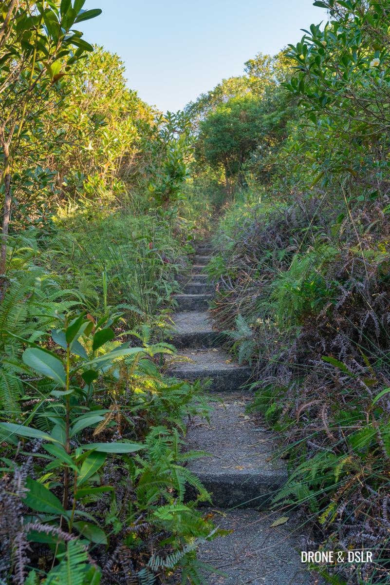
Keep following the trail till until you reach another flight of steps. This hike is all about climbing, after all!
Follow the flight of steps
At the top of these steps, as the trail curves left, look closely to your right, and you’ll spot a narrow set of steps hidden among the bushes. A Cantonese sign for the microwave station and hiker warning signs mark the way.
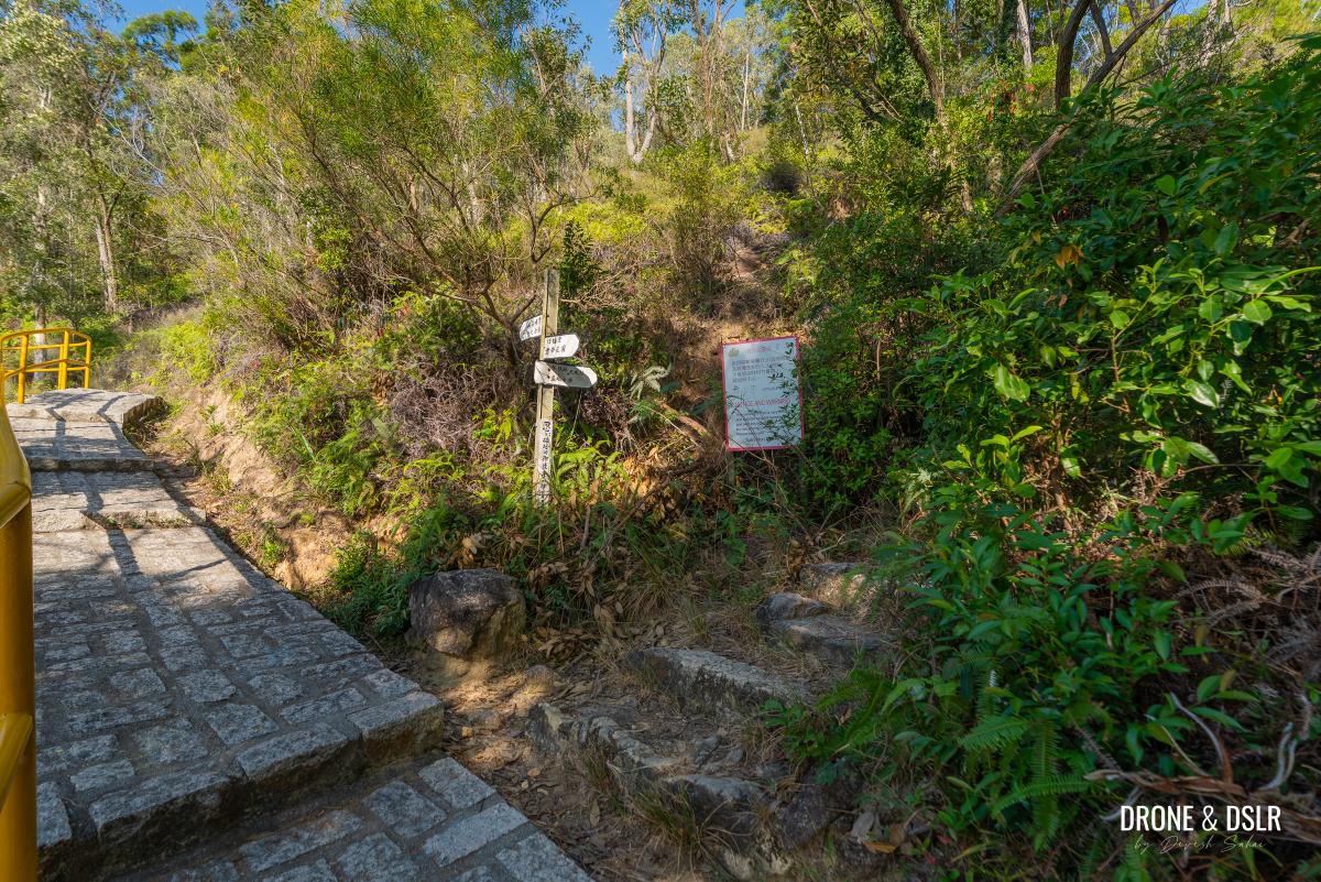
Just after the steps end, turn right and go off trail
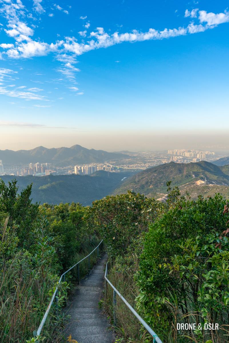
Unfortunately, you won’t be seeing the Rainbow Railing during this hike. So, turn right and follow the steps onto the treacherous path.
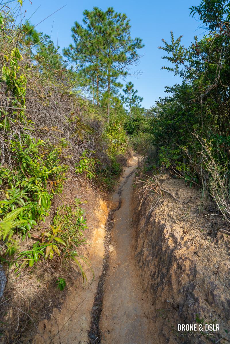
It’s time to hit the only dirt trail on the Kau Keng Shan Hike
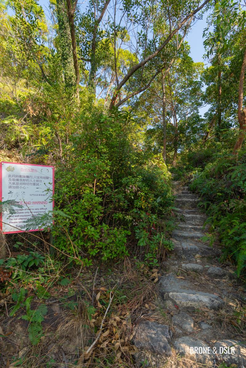
Follow The Dirt Track
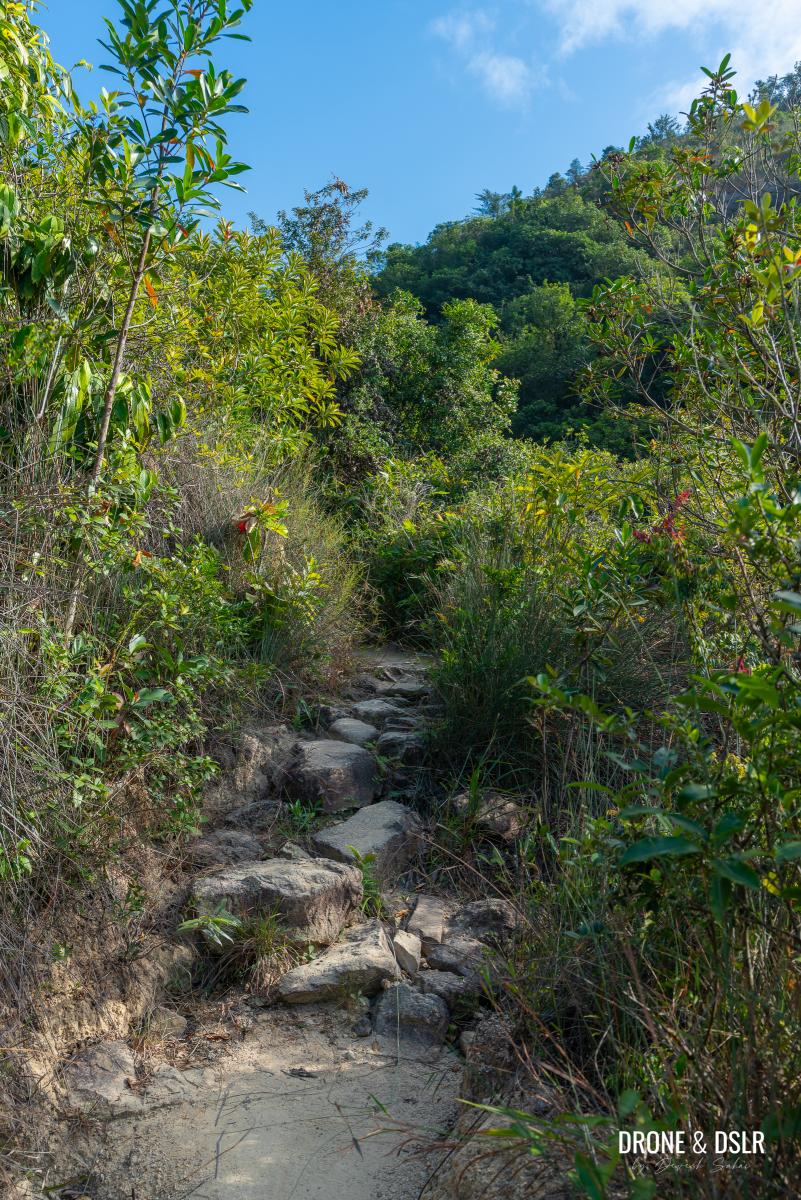
This next segment follows Tuen Mun Trail Section 2 (Kau Keng Shan Section), a 900-metre dirt path, the only unpaved stretch of the hike.
-
- Begin this section of the Kau Keng Shan Hike on some rocky steps
-
- Nothing to challenging at this point
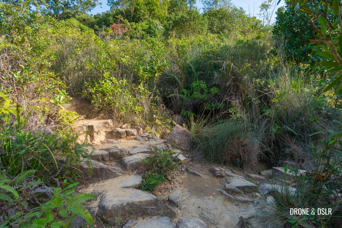
While slightly uneven and rugged, it’s far from difficult and offers some scenic views along the way.
Appreciate the gorge when the trail turns flat
Begin by ascending the rocky steps above one of the area’s many gorges. The climb starts gentle but soon steepens as you push forward. After the final push, you’ll reach a shaded, flat dirt path, a welcome break before the next ascent.
-
- Keep following the trail and watch out for the shrubs
-
- After the flat section, comes a climb
If you’ve been hearing the sound of rushing water, you’re in luck. Soon, the trail brings you alongside a stream, perfect for a quick cooldown (I definitely splashed my face on the way up as it was a hot day!). Enjoy the moment for it doesn’t last long.
-
- You can access the stream along the climb
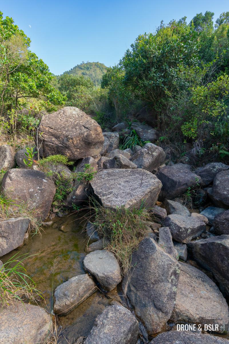
-
- Keep climbing uphill and watch out for loose rocks
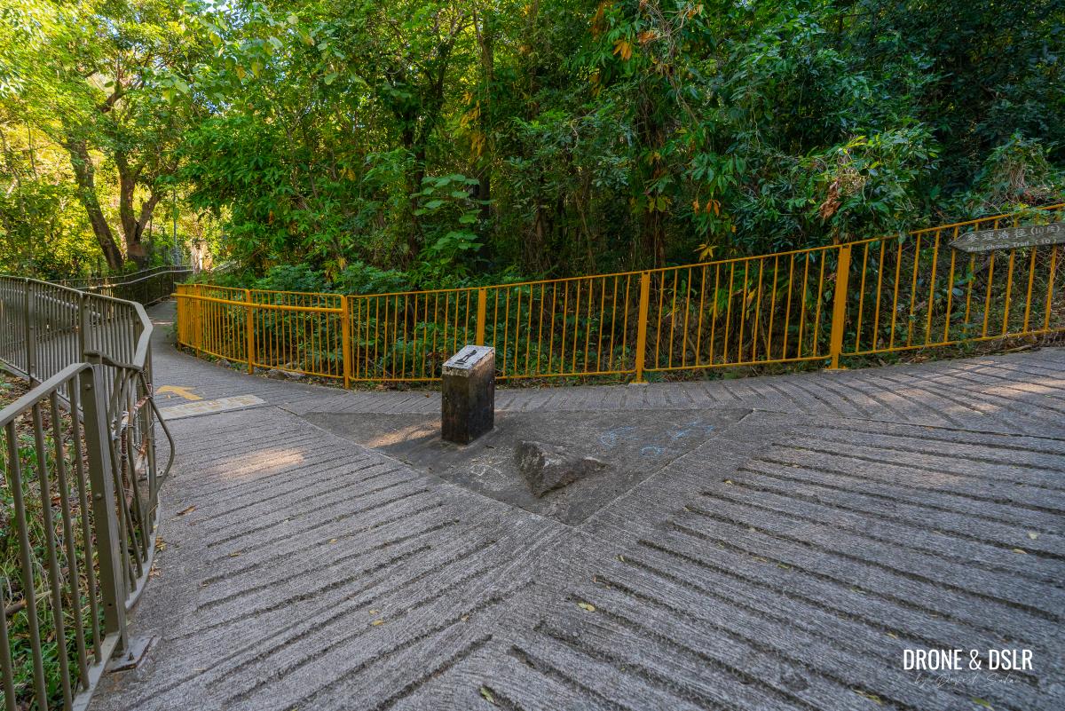
Keep following the rocky ascent as it gives way to another flat dirt trail. The dirt trail comes to a stop at a three-point junction. Turn left at the junction and continue ascending.
-
- A welcome relief after climbing on those rocks
-
- At this 3-point junction, turn left
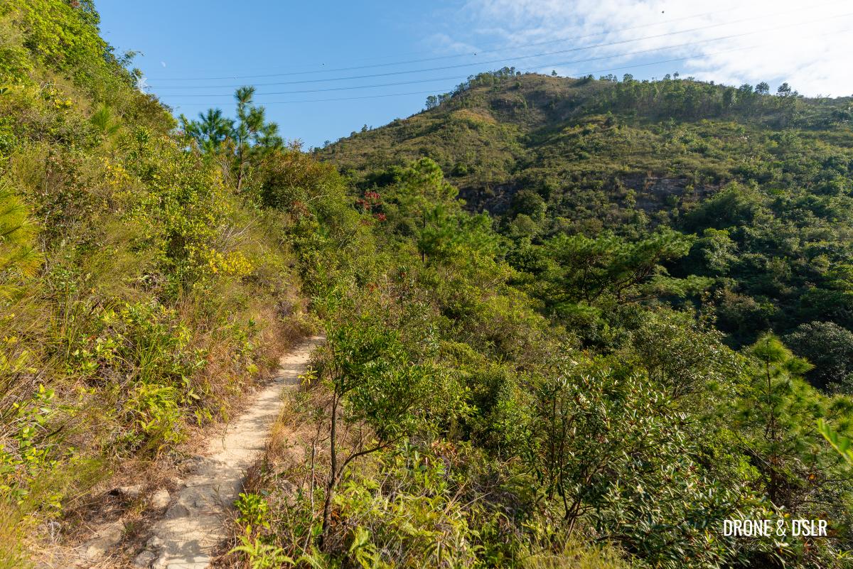
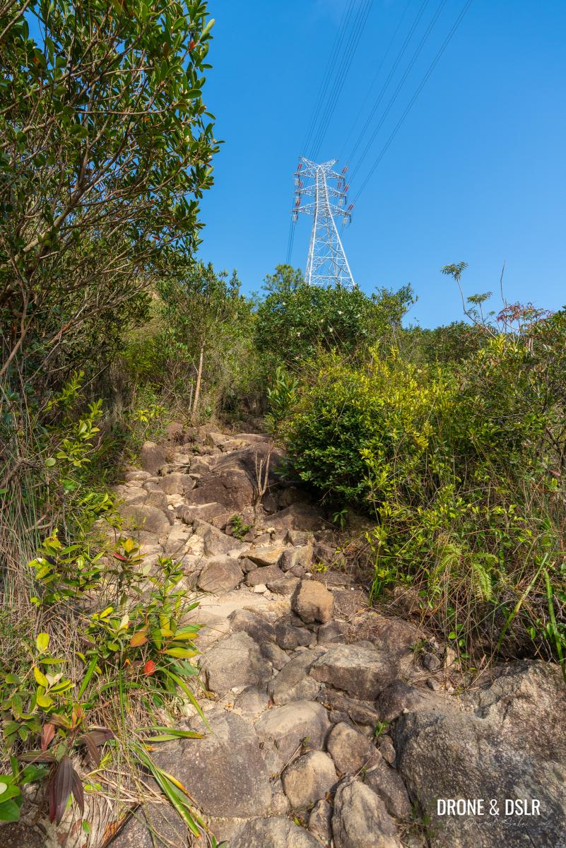
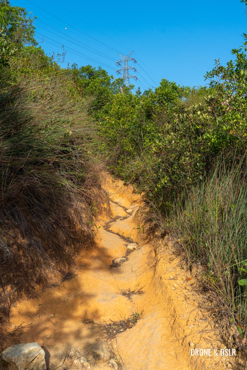
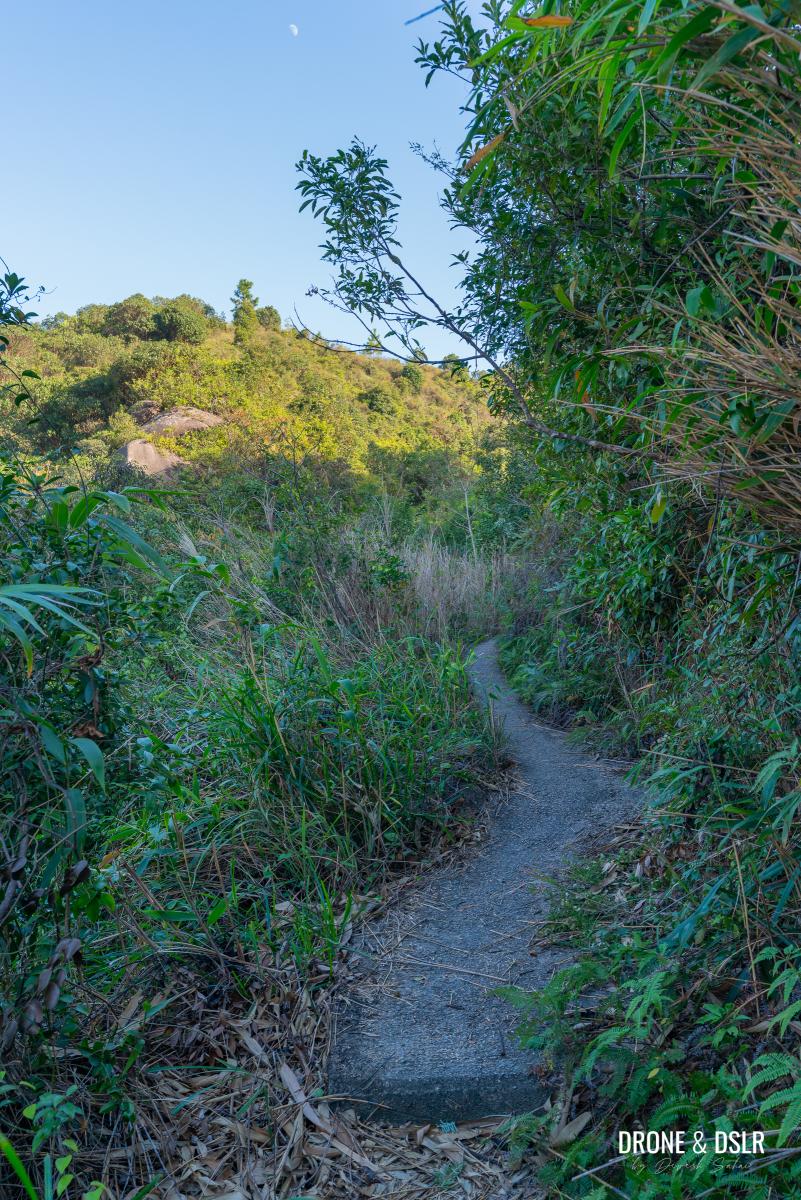
From here, the trail alternates between rocky and dirt terrain, narrowing in certain parts. Watch out for overgrown brush because if you’re wearing shorts, expect a few leaves brushing against your legs.
-
- Continue your climb on the outcrop
-
- You might notice these orange sand lanes in this section of the hike
-
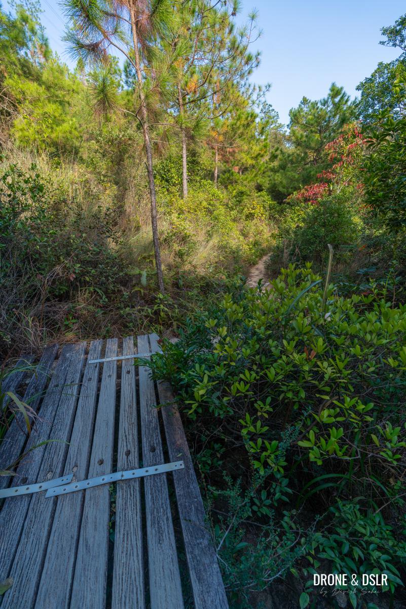
- I found this wooden bridge quite photogenic
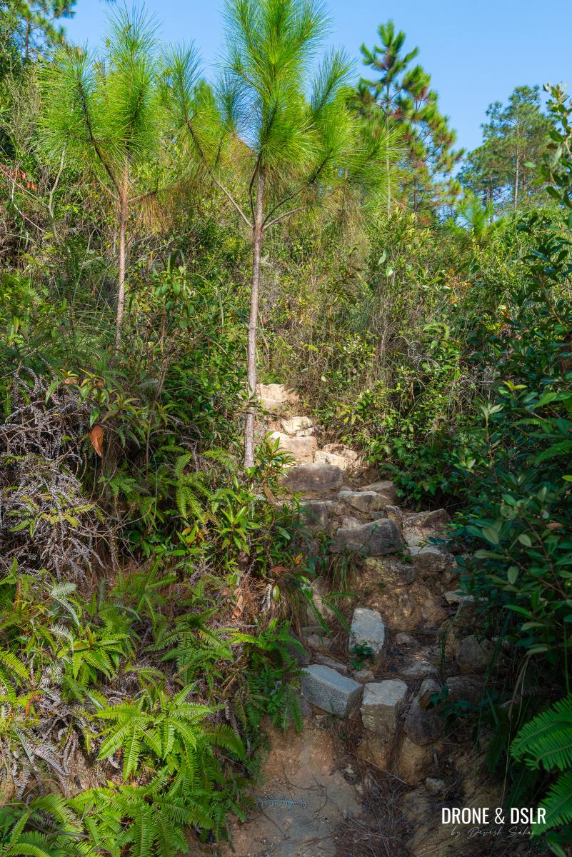
The trail continues on its narrow path, and remains steady and manageable. But near the end, the trail sharpens into a steeper, rockier ascent. Push through this final stretch until you emerge onto the paved Fu Tei Country Trail.
-
- These orange sand lanes can be slightly slippery
-
- The rocky steps signal the end of this dirt section of the Kau Keng Shan Hike
-
- And finally, you emerge on the paved section of the Fu Tei Country Trail
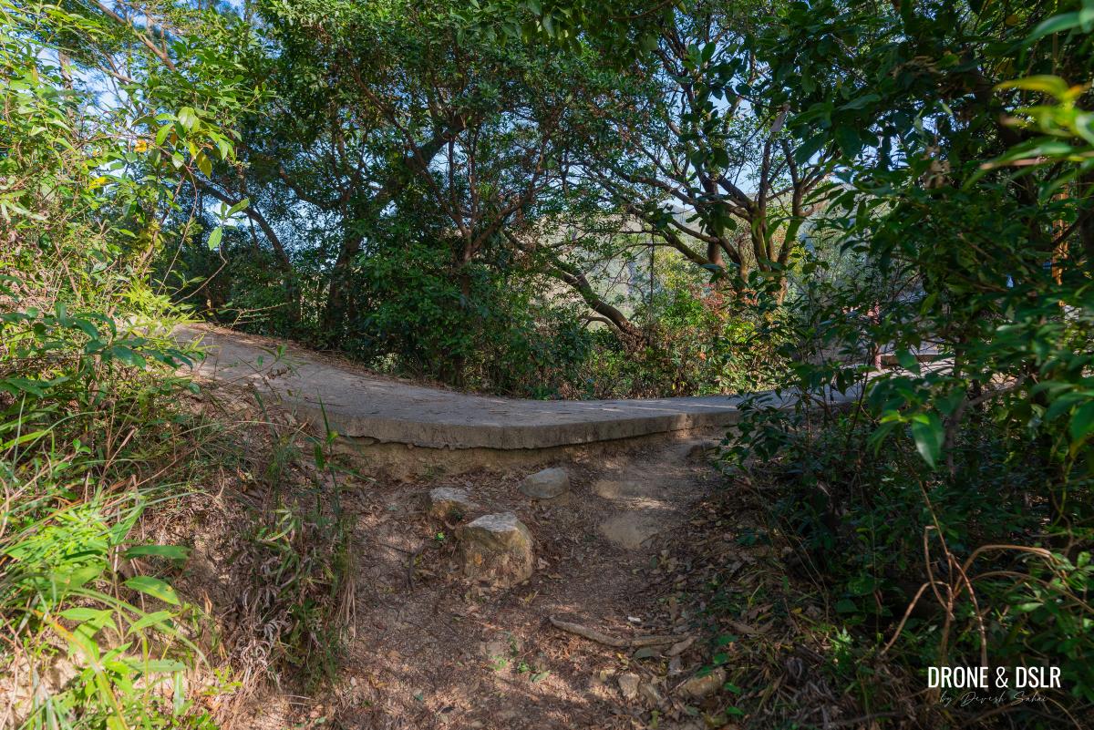
As soon as you step onto the pavement, turn right and take a well-deserved rest at the pavilion. You’ve earned it!
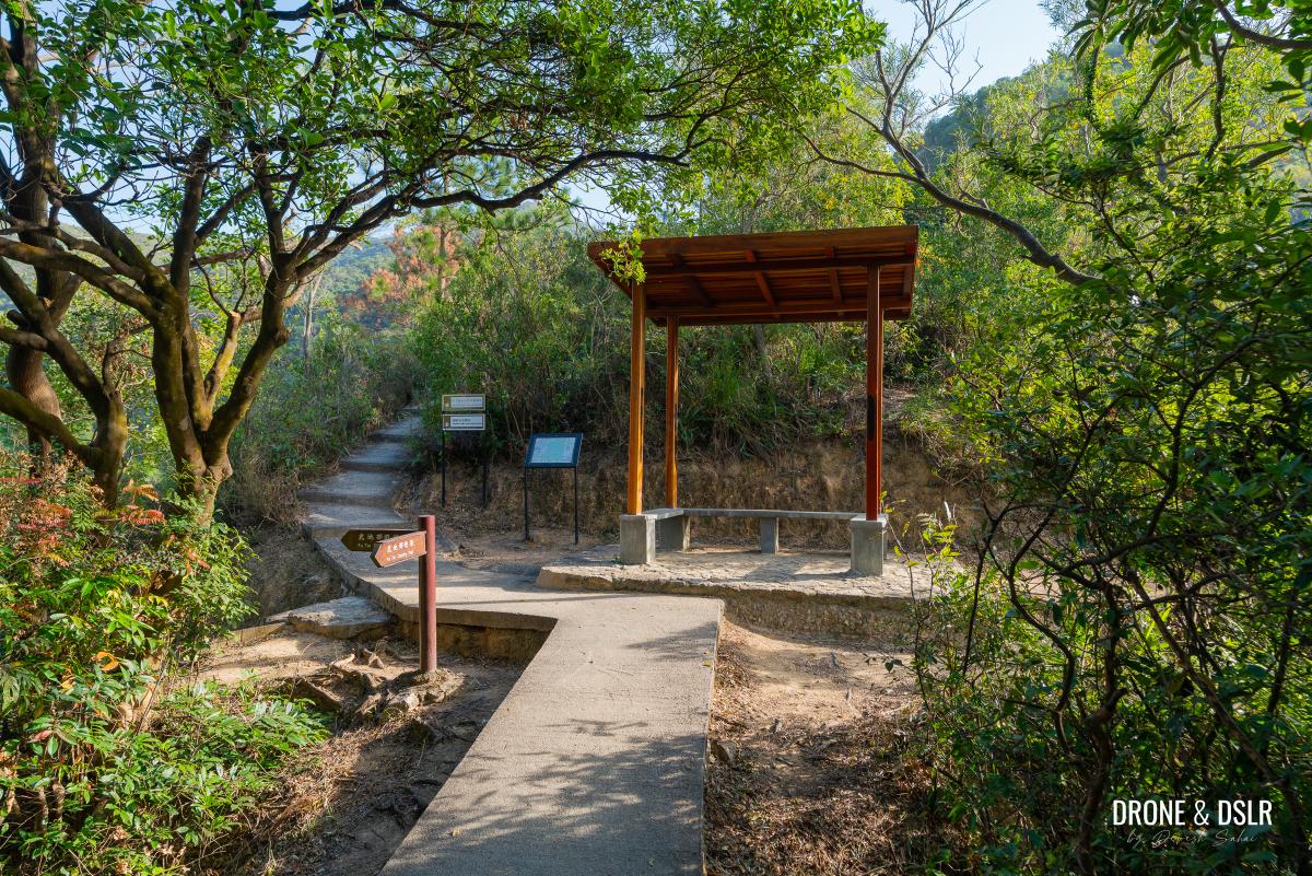
Once on the paved trail, turn right and head for the pavilion and the steps behind the pavilion
Uphill Trail To The Microwave Station
The final 1 km Kau Keng Shan Hike is where the real climb lies. Until now, it’s been relatively easy. So, make sure you get your rest at the pavilion before embarking on the final ascent.
Luckily, the final climb of the Kau Keng Shan Hike is clearly marked. The steps begin from right behind the pavilion. They’re hard to miss.
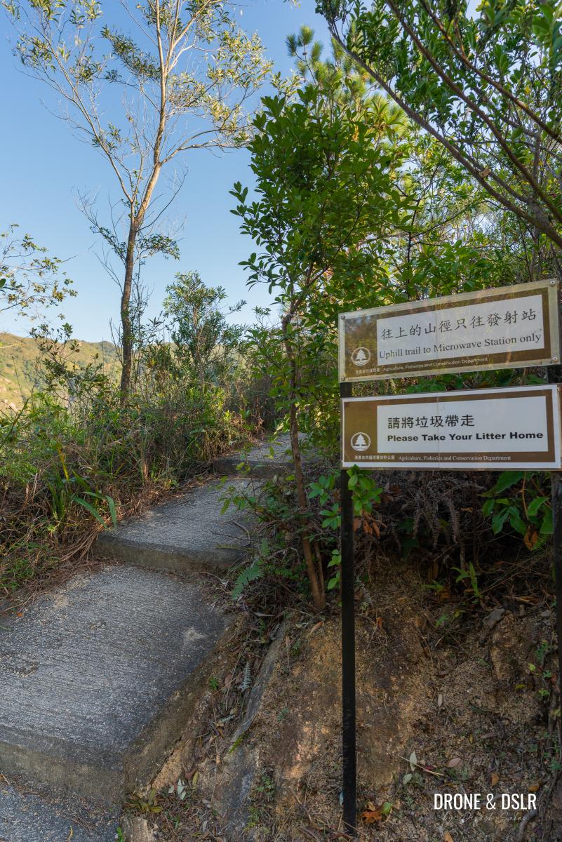
After your break, follow the steps behind the pavilion, with the sign “Uphill trail to the Microwave Station only”
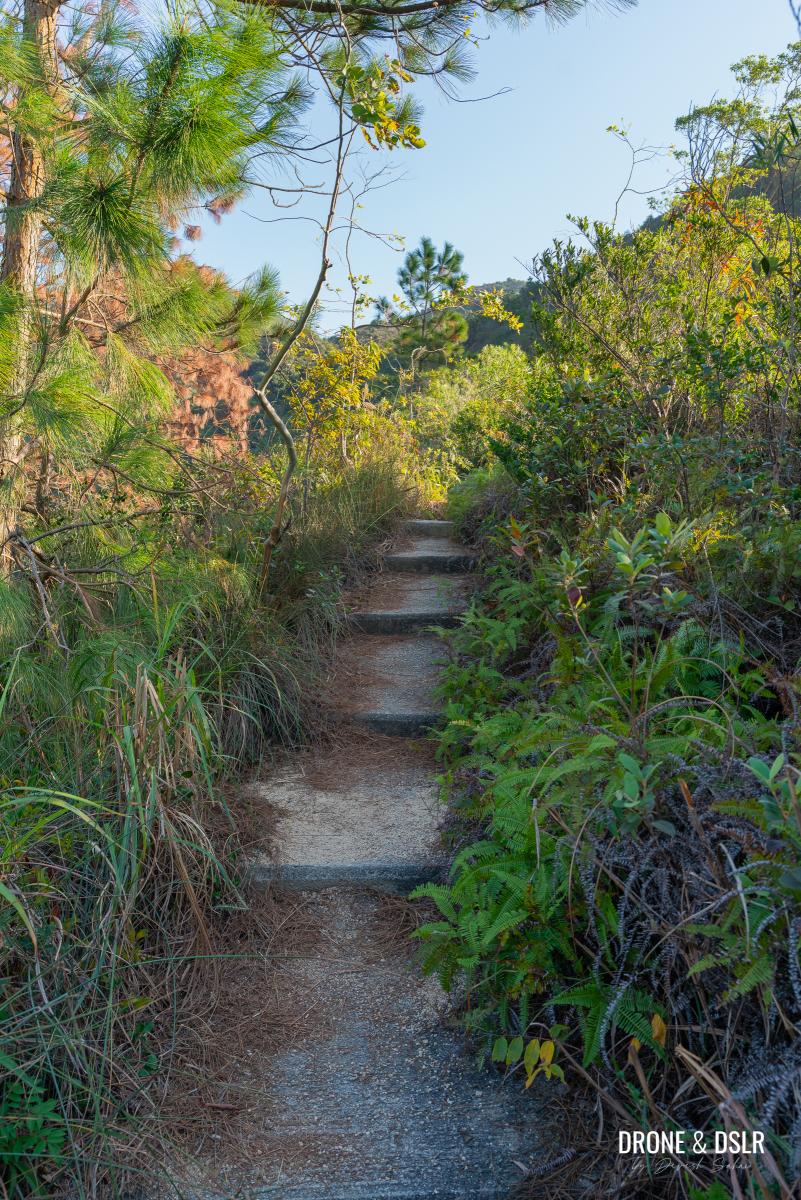
It’s also worth noting that not the entire ascent is steep, just parts of it.
The steep initial climb
Once you’ve rested up, it’s time to tackle the steps behind the pavilion. They start off gentle, winding upward through the bushes. But don’t be fooled. Within moments, railings appear, signalling the shift from a moderate slope to a steep, challenging climb.
-
- The steps start off gently
-
- The steps are easy till the railing appears
-
- This is one of the most challenging climbs of the Kau Keng Shan Hike

This is the first major ascent of the Kau Keng Shan Hike. Take it slow, pace yourself, and don’t hesitate to pause if needed.
Almost at the end of the steep steps
The good news? The steepest part is short-lived, even if it feels endless. Just before it eases, the trail curves left, offering a brief but rewarding view of the Lam Tei Irrigation Reservoir in the distance.
The flat section also offers amazing views to the north
When the incline finally levels out, take a moment to catch your breath.
The easy middle section
As the trail flattens out, you’ll get your first clear view of Kau Keng Shan, directly ahead. Don’t let the distance fool you, it’s closer than it looks.
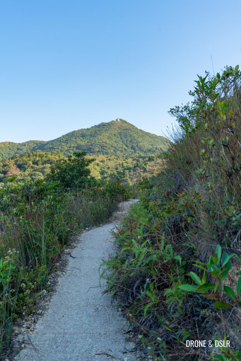
Flat trail (finally) and a clear view of Kau Keng Shan
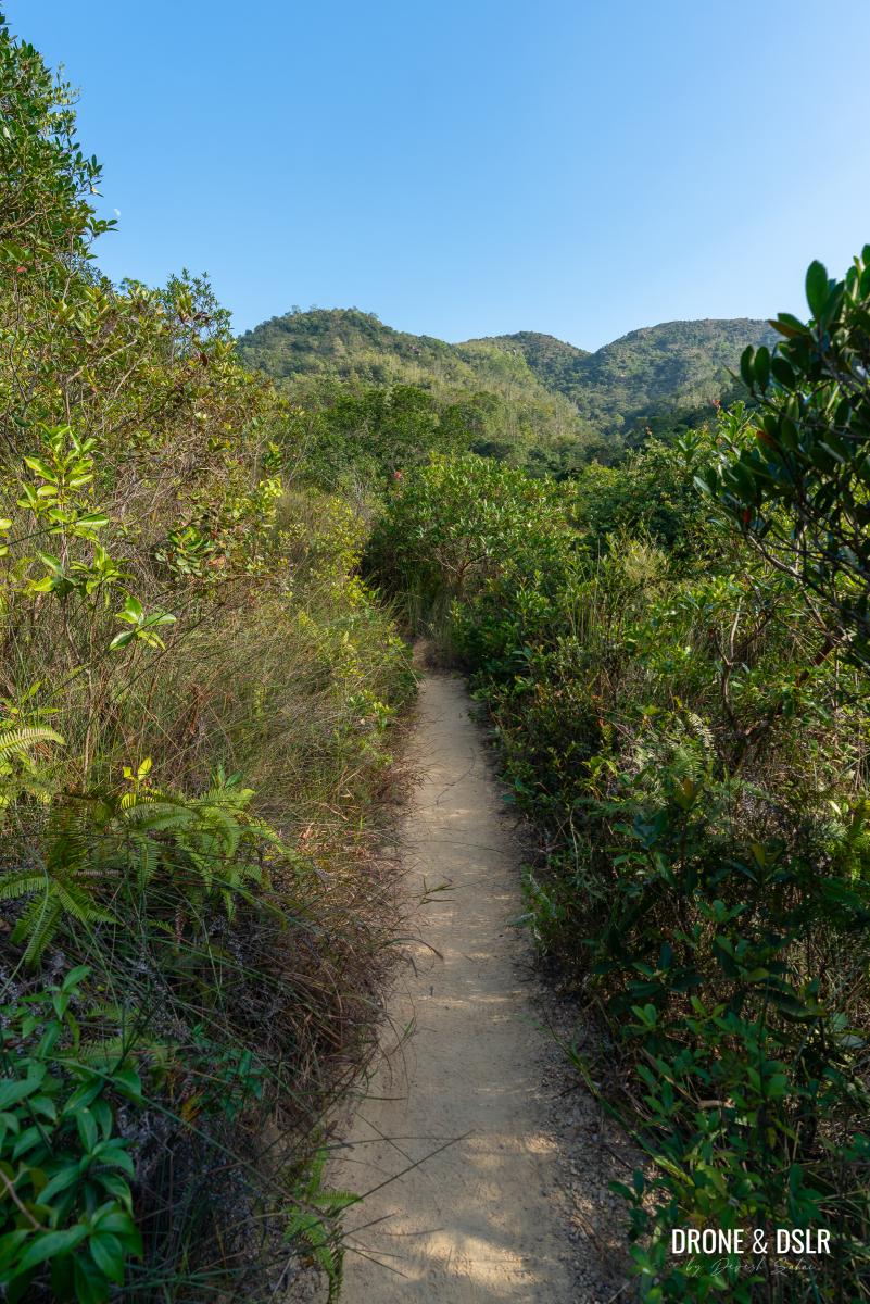
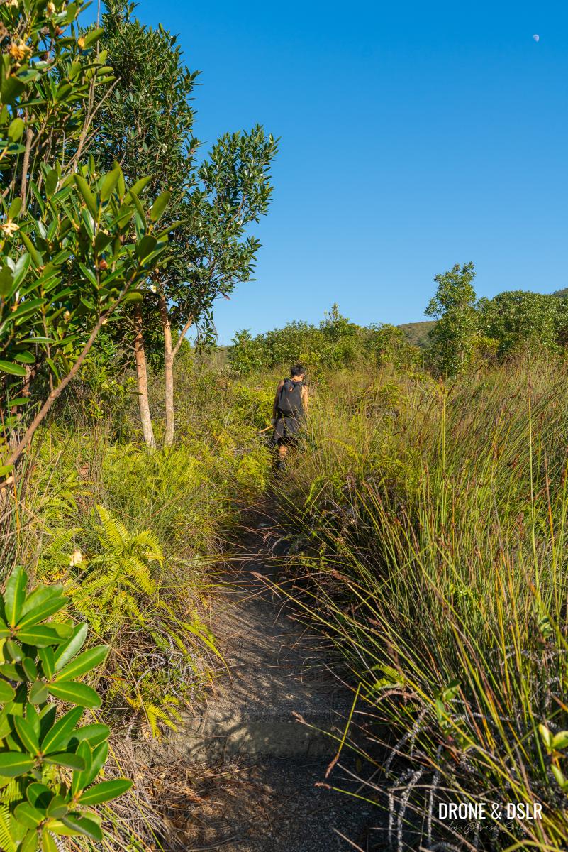
The middle section of the ascent is moderately undulating, making it the easiest section on the final approach. Use this stretch to pick up your pace and regain some energy.
Keep following the flat trail and be careful not to step too close to the edge
As you continue on the trail, be mindful of the sharp drop on the side of the hill in some sections. The trail is actually quite narrow, and the thickets and bushes on the side hide the sudden drop.
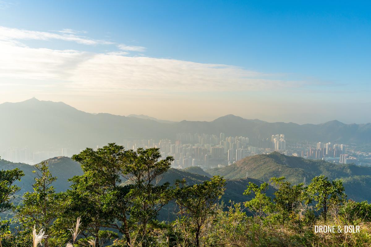
The views of the valley with Lam Tei Reservoir, Yuen Long, and Shenzhen’s skyline continue to impress in this section of the trail.
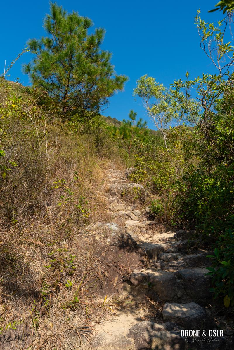
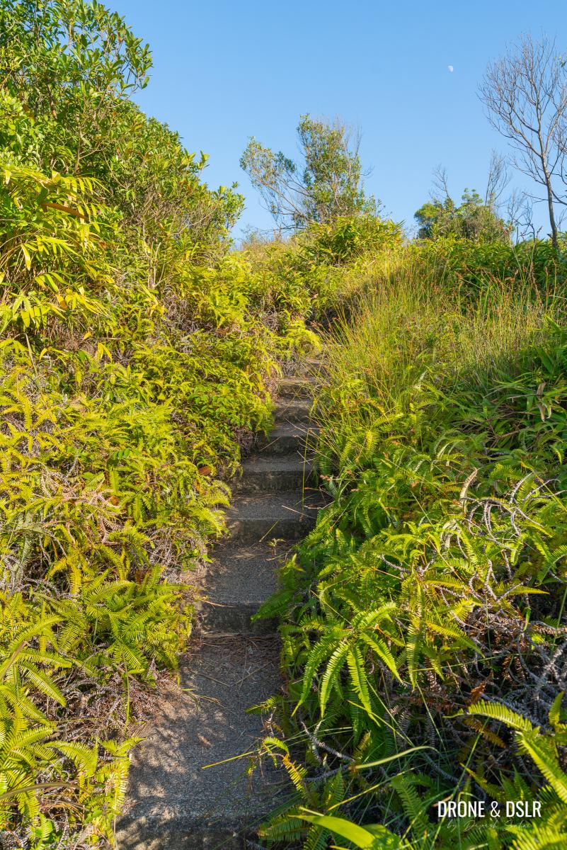
As the flat narrow section to an end, the trail slowly quickly ascends and descends a few mounds on top of the hill. These steps should be fairly easy to follow.
-
- A few easy steps that follow
-
- Keep following the easy steps as Kau Keng Shan gets closer
-
- This part is slightly undulating with some downhill sections
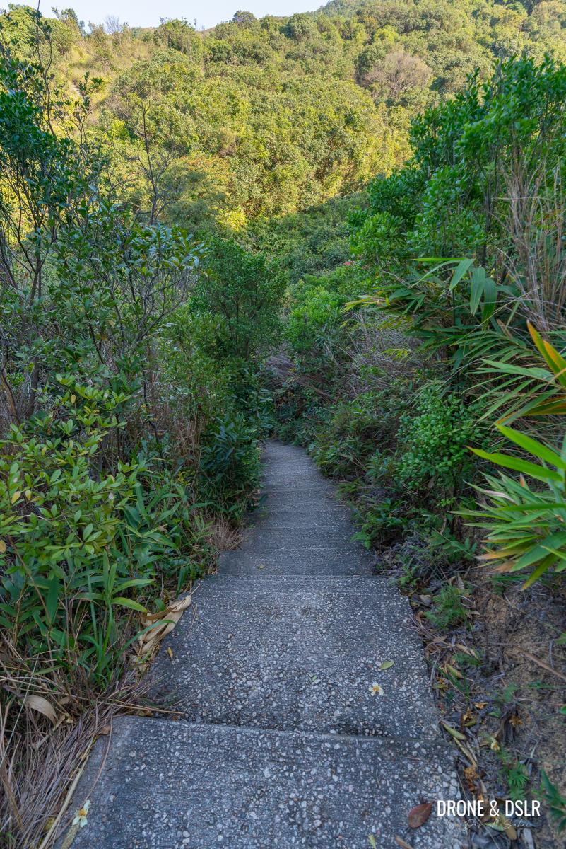
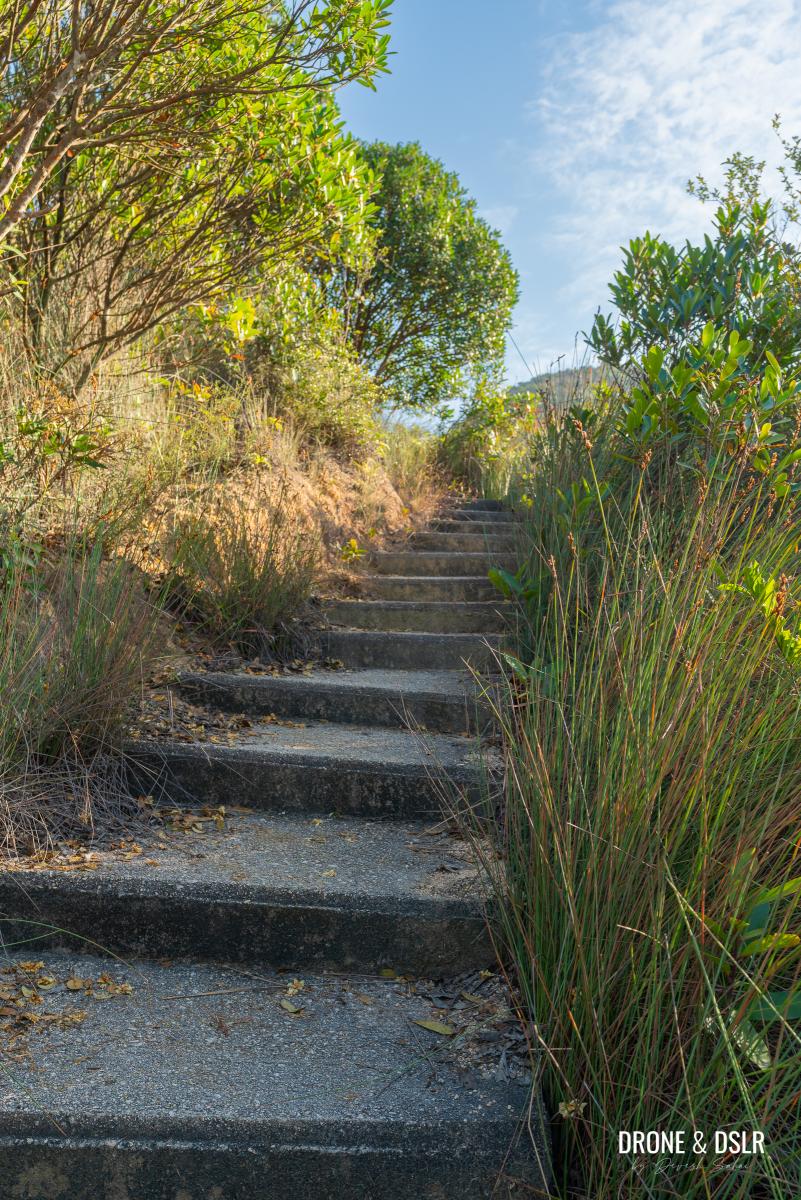
After the second mound, the trail momentarily remains flat, as it enters a canopy of trees ahead.
-
- And we’re back to another flight of steps
-
- The trail flattens after the steps
-
- Keep following the trail as you approach the Kau Keng Shan Sky Steps
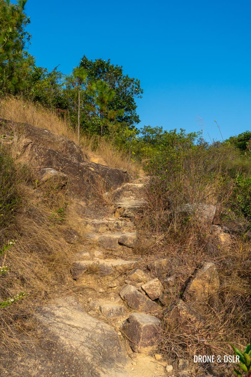
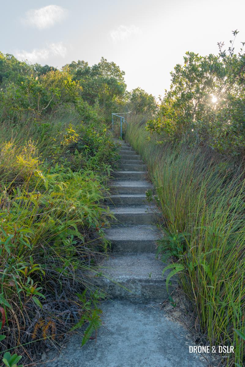
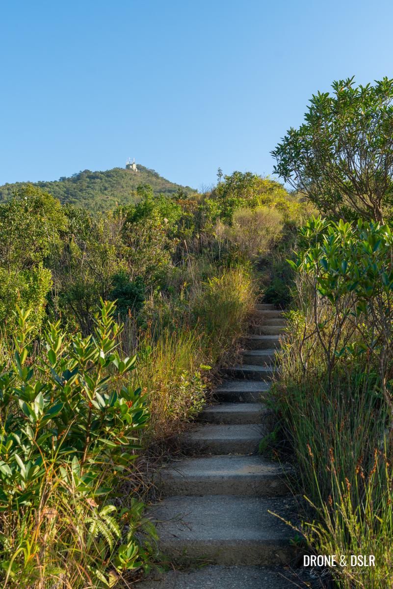
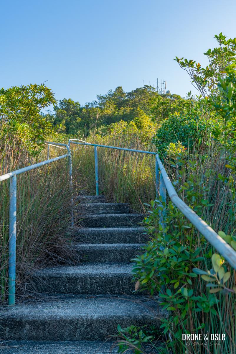
And once more, the railings along the side of the steps appear, signalling another brutal climb ahead.
Kau Keng Shan Sky Steps
We’re finally here, the final ascent on the Kau Keng Shan Sky Steps! I’m not sure who named these steps, but it’s a fairly accurate description of what it feels like climbing these steps.
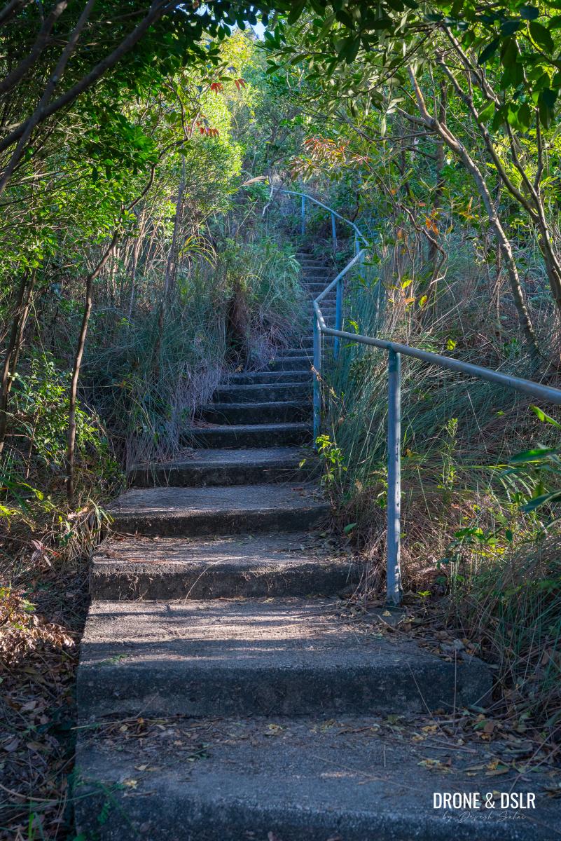
The start of the Kau Keng Shan Sky Steps
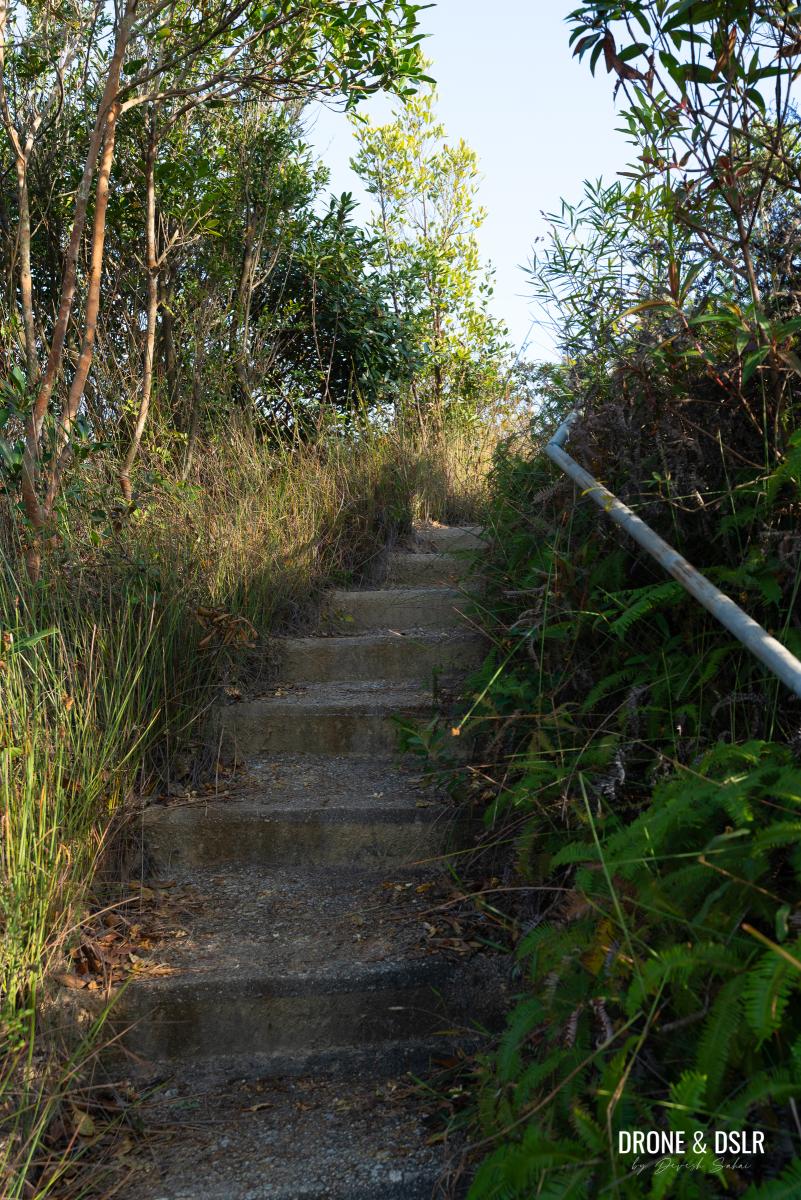
The Kau Keng Shan Sky Steps consist of the final 400–500 metres of the Kau Keng Shan Hike. The steps remain consistently steep and challenging.
The most challenging section of the Kau Keng Shan Hike
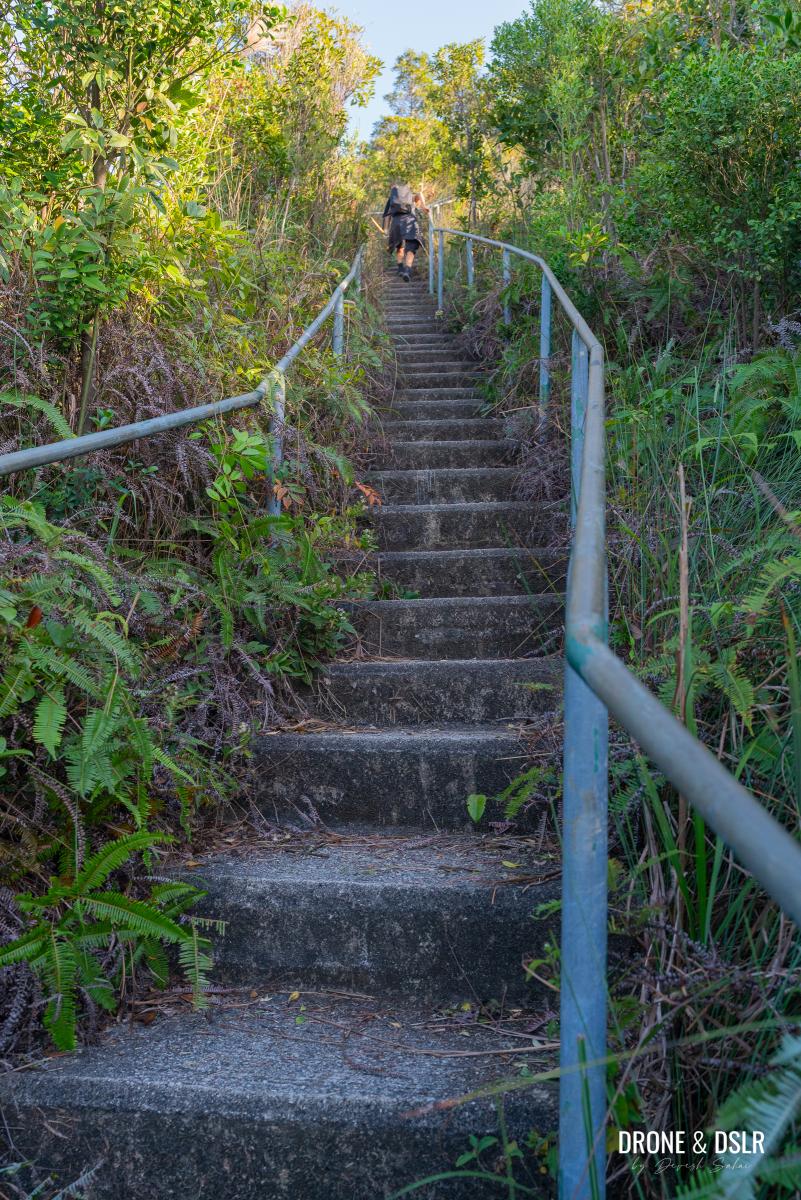
Once again, no need to rush. Take your time, and pace yourself. You’re very close to the end.
The Kau Keng Shan Sky Steps feel neverending
The steps will definitely test your limits but at least you’ll get a terrific cardio workout!
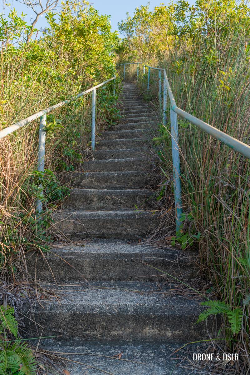
For most of the climb, the summit of Kau Keng Shan isn’t visible. But just as you’re nearing the summit, you should be able to see the antennae of the microwave station. But before that, you’ll reach an abandoned fire lookout structure.
A moment of relief when you see the antennae of the microwave station on the summit
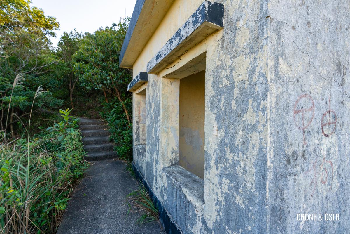
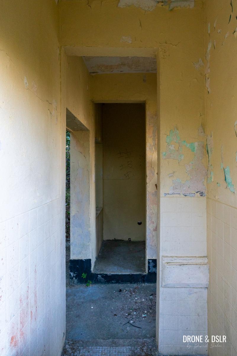
The abandoned fire lookout (山火瞭望台): B No. 585
A short distance from the summit of Kau Keng Shan is an abandoned fire lookout. I wasn’t able to find any information regarding the structure or its purpose. If any of you know anything about it, please drop me a comment below.
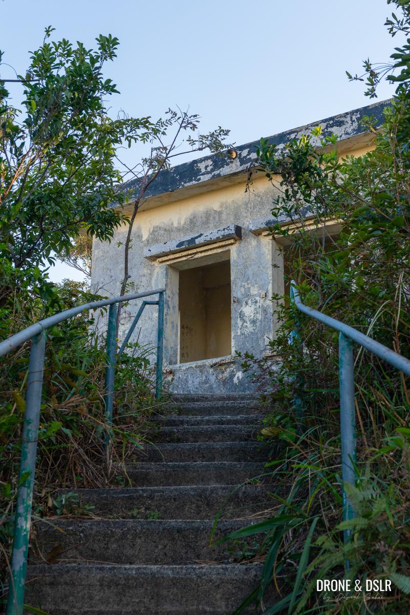
But before the summit is an abandoned fire lookout
The fire lookout, has two small rooms within, which are also visible from the outside thanks to the oversized openings.
-
- The abandoned fire lookout (山火瞭望台) at the base of Kau Keng Shan
-
- A quick peek inside the fire lookout
The entrance is located at the back, with the number “B No. 585” next to it. Again, I would love to know the significance of this number.
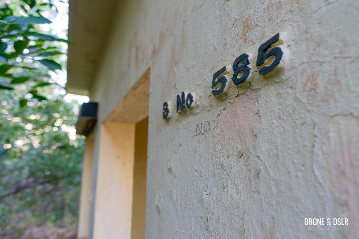
Wonder what the significance is of B No 585?
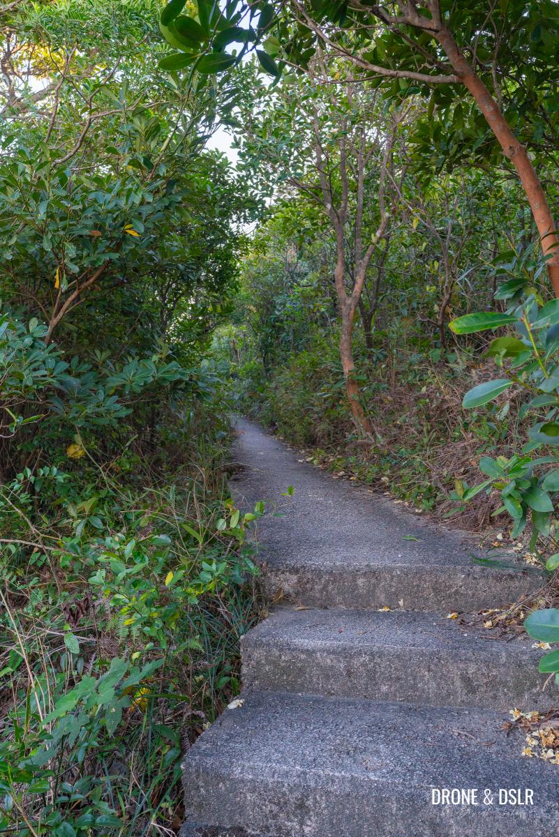
And once you’re done exploring or admiring the abandoned fire lookout, continue walking down the trail, and you’ll arrive at the Kau Keng Shan helipad.
-
- From the fire lookout, just follow this flat path
-
- The helipad at Kau Keng Shan
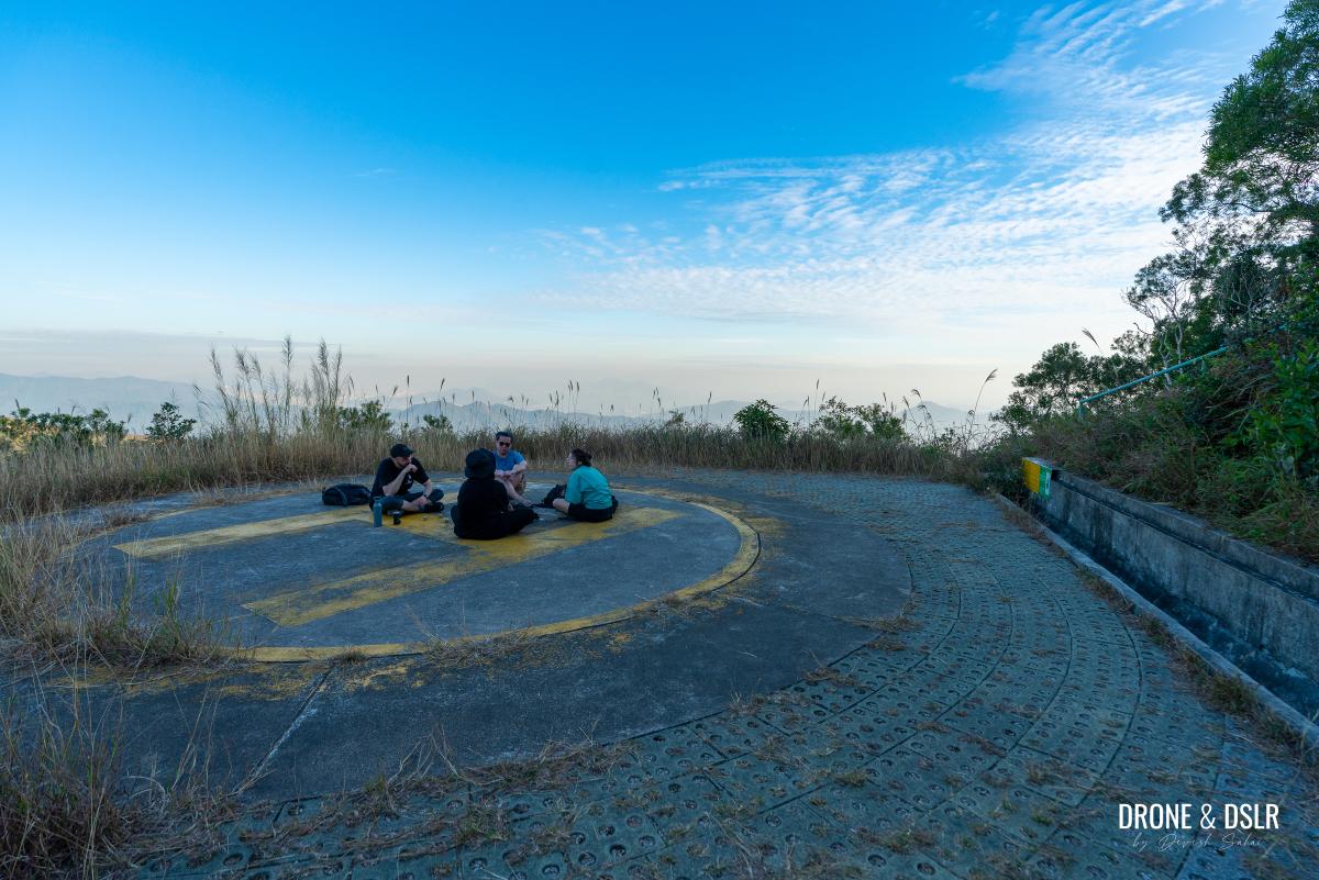
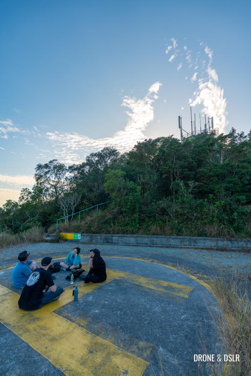
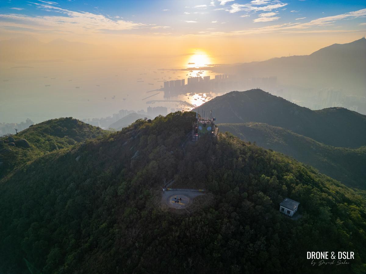
Kau Keng Shan Summit
The summit of Kau Keng Shan is occupied by a helipad, that sits directly below the microwave station.
-
- Kau Keng Shan — the helipad and microwave station
-
- The helipad that occupies the Kau Keng Shan summit
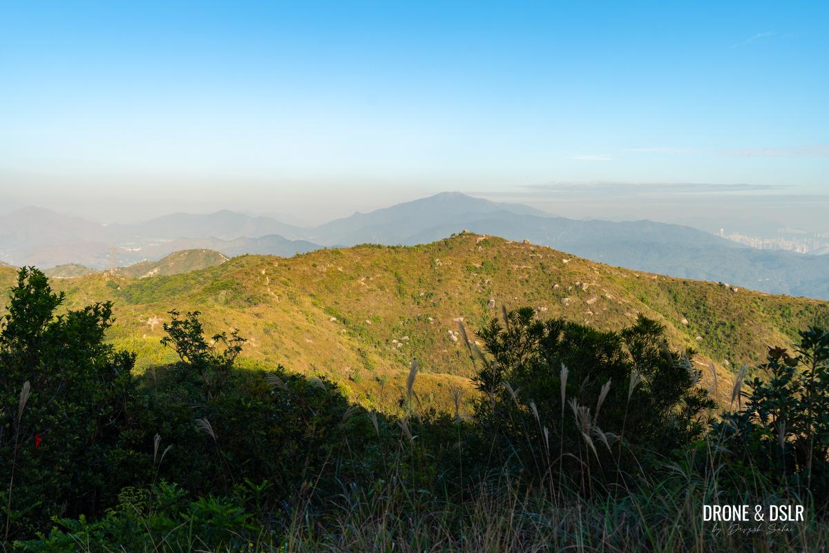
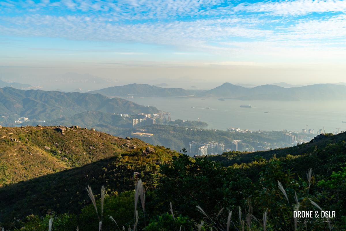
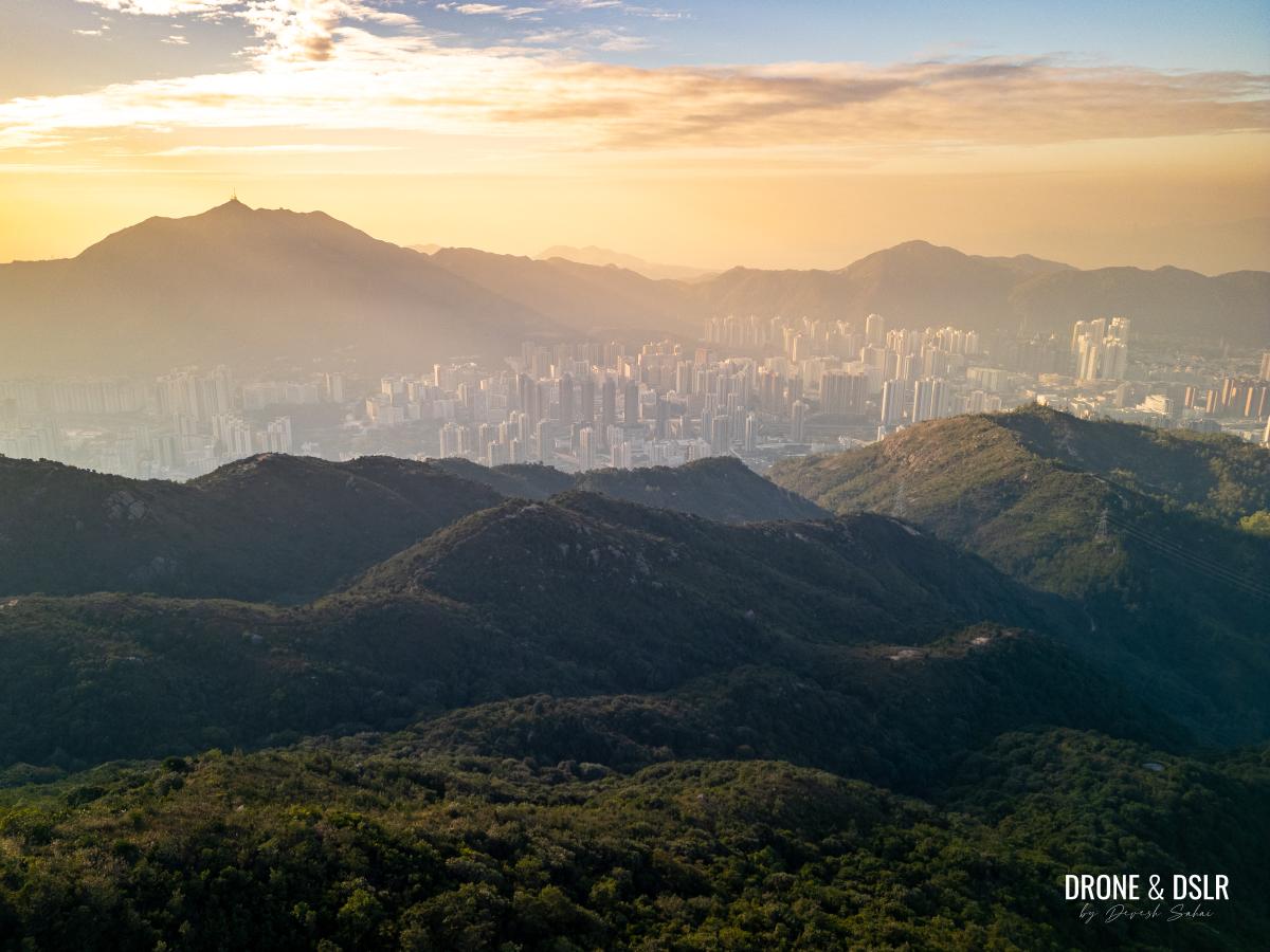
From the helipad, you can admire the views to the east and south, which comprises Tai Lam Country Park (all the way to Tai Mo Shan), and the north of Lantau Island.
-
- Views to the east of Kau Keng Shan with Tai Mo Shan in the distance
-
- Views of towards the south from Kau Keng Shan
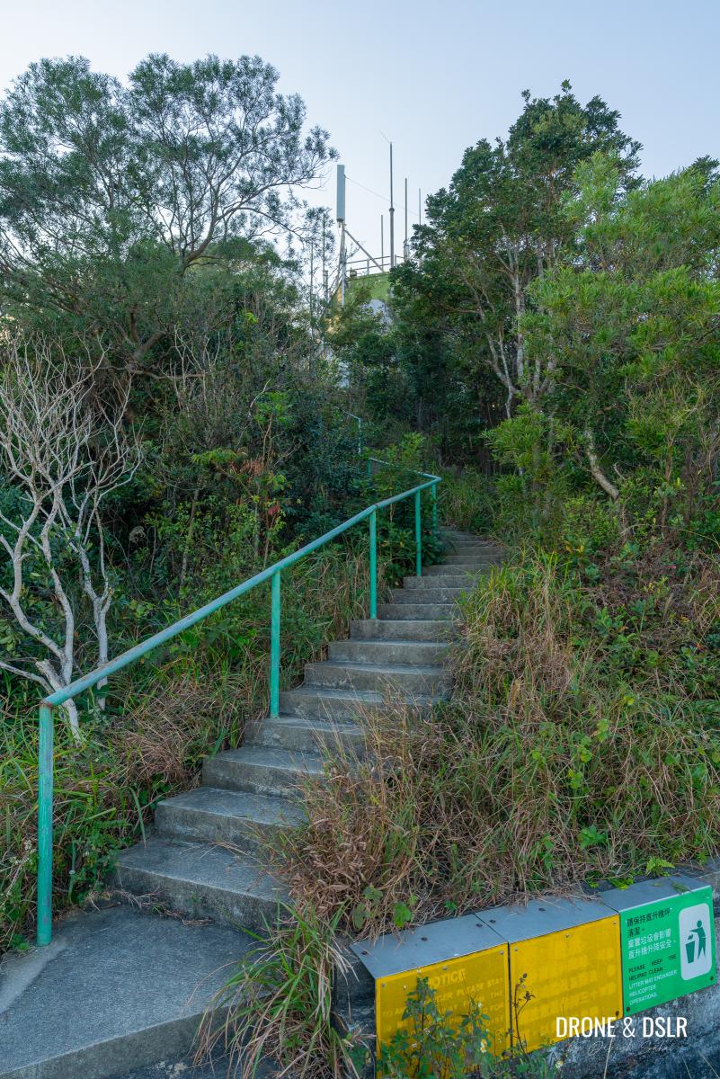
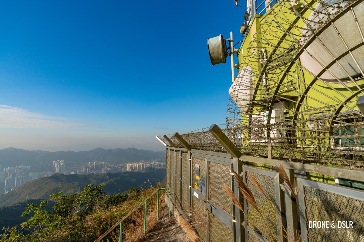
Take the steps from the helipad up to the microwave station, and walk to the front of the station to catch a beautiful glimpse of Tuen Mun, and Castle Peak.
-
- If you want to reach the summit of Kau Keng Shan, and the microwave station, follow these steps
-
- The summit of Kau Keng Shan (507 metres) is occupied by this microwave station
-
- The views of Tuen Mun and Castle Peak from Kau Keng Shan
-
- The microwave station blocks the views to the north from here
Options To End The Hike
Kau Keng Shan, Tuen Mun
To finish your hike, you have three options:
- Follow the unmarked trail east of the helipad toward Tai Tong Tsuen. This 5.8 km path is easier than the trail you’ve already conquered.
One of the more popular exits is following this trail (below) to Tai Tong Tsuen
- Take one of the unmarked trails down Kau Keng Shan’s southern or eastern slopes. Only recommended for experienced hikers and these routes are steep and unmaintained.
- Simply return the way you came. This is likely the safest and easiest option for most hikers.
Easiest option to end the hike is to retrace your steps back to Tuen Mun Town Plaza
Kau Keng Shan — Castle’s Peak Shorter Sibling
We hope this Kau Keng Shan Hike guide has been helpful as you prepare to tackle Tuen Mun’s second-tallest peak!
Sunset is a good time to visit Kau Keng Shan
Before taking on Kau Keng Shan, we recommend hiking up Castle Peak, Tuen Mun’s tallest and most iconic summit, and one of Hong Kong’s three sharp peaks. If you’re looking for a less demanding but equally rewarding hike, check out the Fu Tei Country Trail (which overlaps briefly with this hike), Por Lo Shan (Pineapple Mountain), tucked away in Tuen Mun’s scenic hinterlands.
Aerial view of Tuen Mun at sunset with Castle Peak in the background
And if you found this guide useful, don’t forget to share it with friends or on your favourite social media platform.
If you enjoy our work, come join us on Instagram and YouTube 🙂


You might also like


Leave a reply