
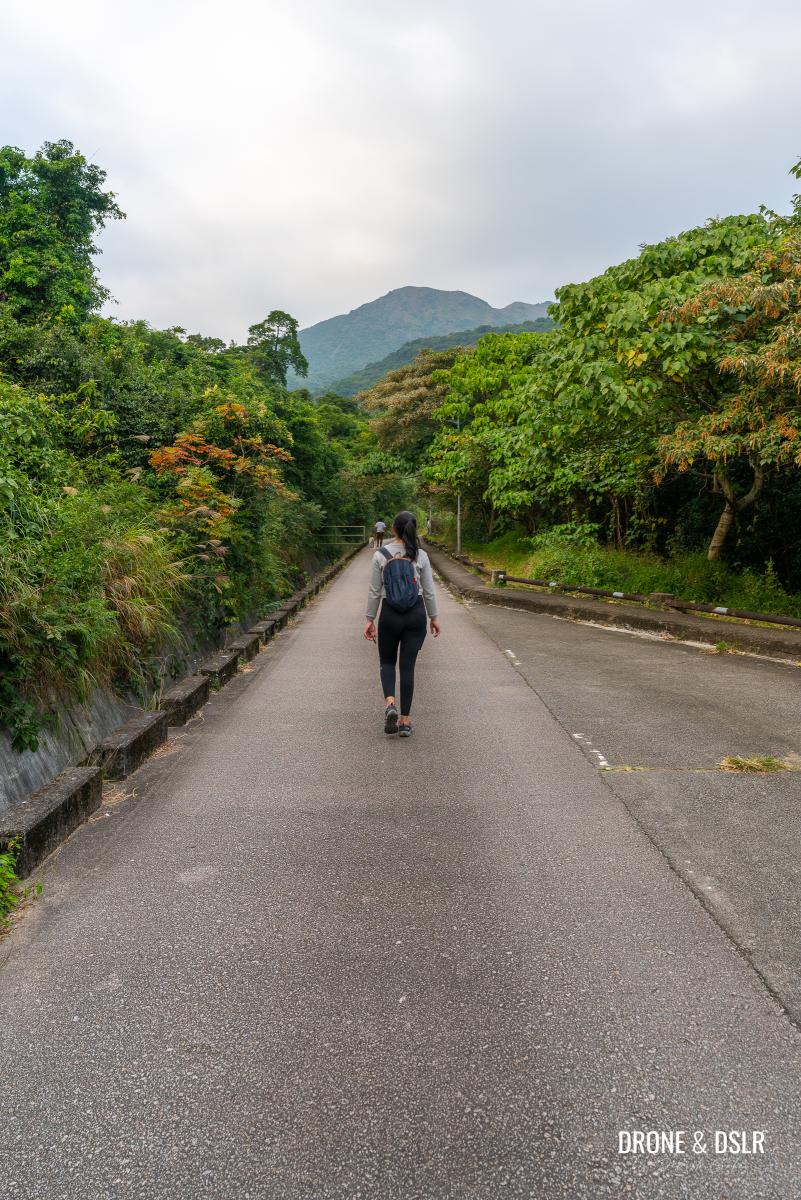
Tung Yeung Shan, situated at the intersection of Sai Kung, Wong Tai Sin, and Shatin districts, is known for its silvergrass-laden summit that becomes particularly striking during autumn in Hong Kong. During this season, the silvergrass comes alive, making the hike to the top a popular destination.
Autumn is the best time to hike to Tung Yeung Shan
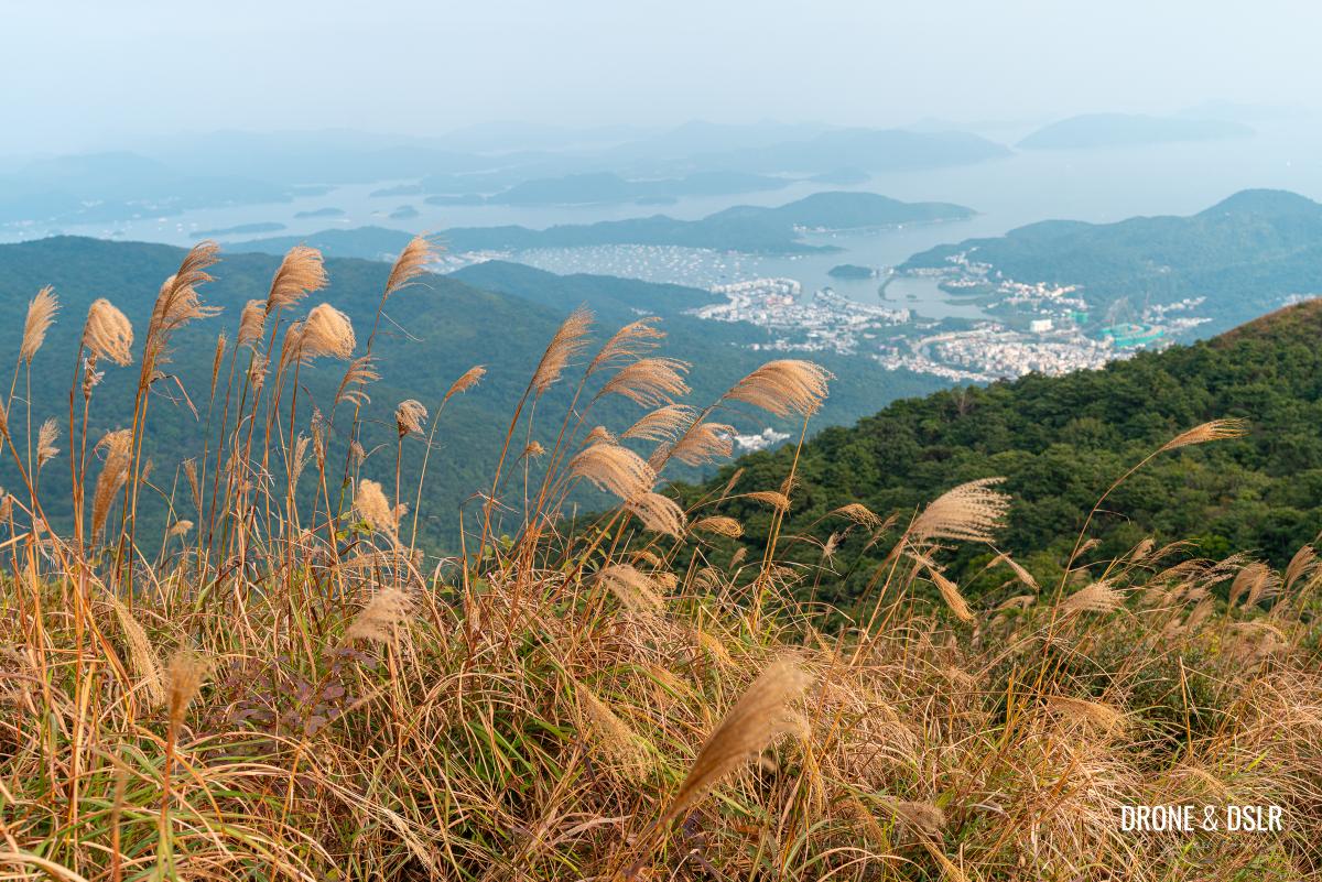
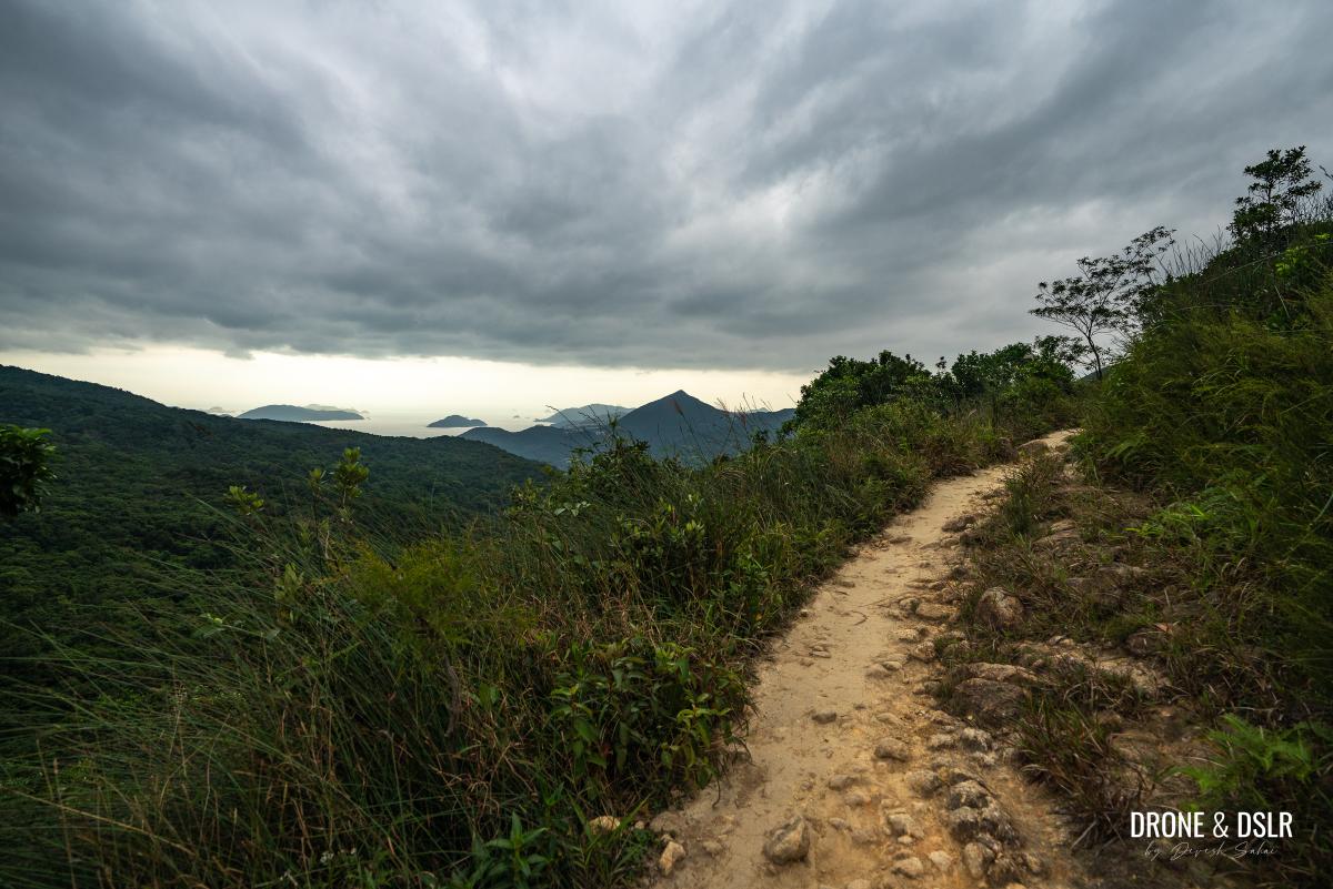
However, if you miss the silvergrass season, don’t worry — the stunning views from the summit are still worth experiencing. From on top, hikers can enjoy beautiful views of Hebe Haven in Sai Kung to the east and Shatin to the north. Unfortunately, the western view is obstructed by the Kowloon range of hills. But that being said, I found a unique perspective from Tate’s Cairn to Kowloon Peak to be particularly beautiful.
-

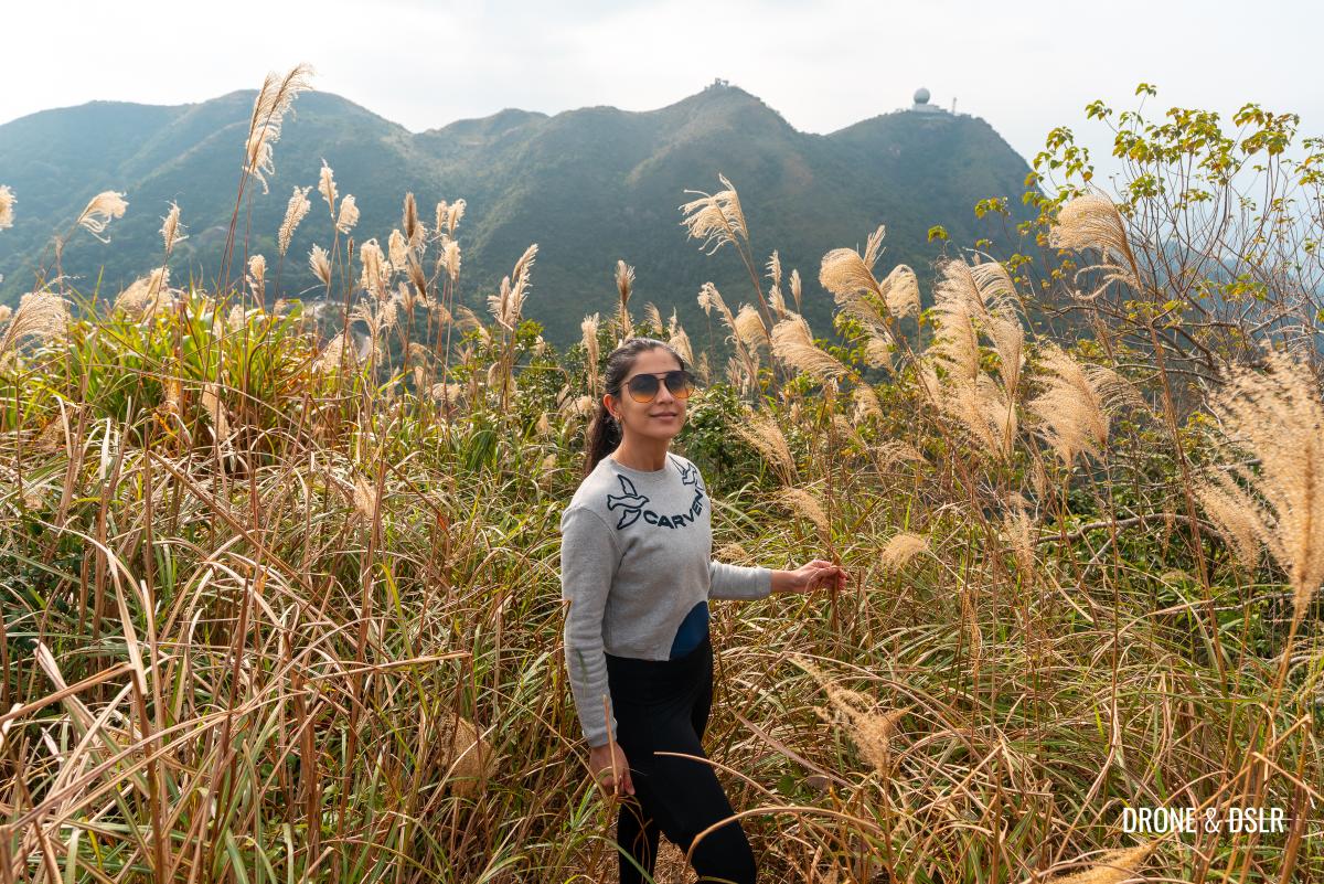
- Gotta get those silvergrass shots on Tung Yeung Shan
-
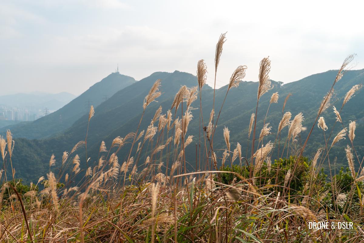
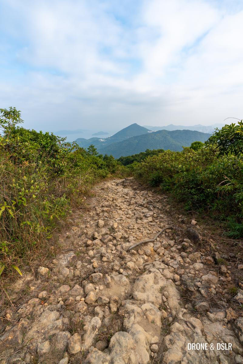
- Views of Kowloon Peak from Tung Yeung Shan
The hike to Tung Yeung Shan presents some moderately challenging sections, but the difficulty largely depends on the route you choose. So, let’s explore those options in more detail.
Views of Sai Kung from Tung Yeung Shan
About the Tung Yeung Shan Hike
Other than the fact that Tung Yeung Shan lies at the intersection of three districts in Hong Kong, it also lies on the intersection of two popular hiking trails (Maclehose Trail Section 4 and Wilson Trail Section 4), and a motorable road (Fei Ngo Shan Road).
The top of Tung Yeung Shan
What this means is that there are at least three options to hike up to Tung Yeung Shan with multiple entry points and exit routes, including being able to park your vehicle 300 metres away from the summit. But we’re not going to focus on that. Instead, this guide will focus on the route from Shatin to Kowloon.

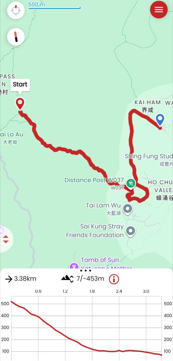
Tung Yeung Shan Hike Trail Map
For those who wish to start or end this hike on Wilson Trail Section 4 (Sai Kung side), I’ve added the directions below in this post. And here is a quick map of the relevant part of Section 4 of Wilson Trail that connects Sai Kung to Tung Yeung Shan.
Tung Yeung Shan Hike from Sai Kung, via Wilson Trail Section 4
But for now, let’s start the hike in Shatin.
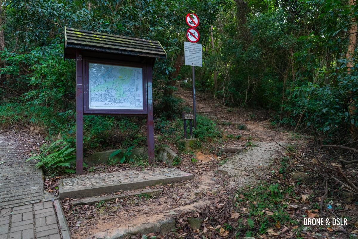
Starting point
To start the Tung Yeung Shan Hike from Shatin, make your way to Wong Nai Tau Village, which also happens to be the same starting point for the Buffalo Hill Hike.

Wong Nai Tau Bus Terminus
The bus terminus at Wong Nai Tau Village is served by numerous buses and minibuses, and it’s best to use Google Maps to find the best route to reach here.
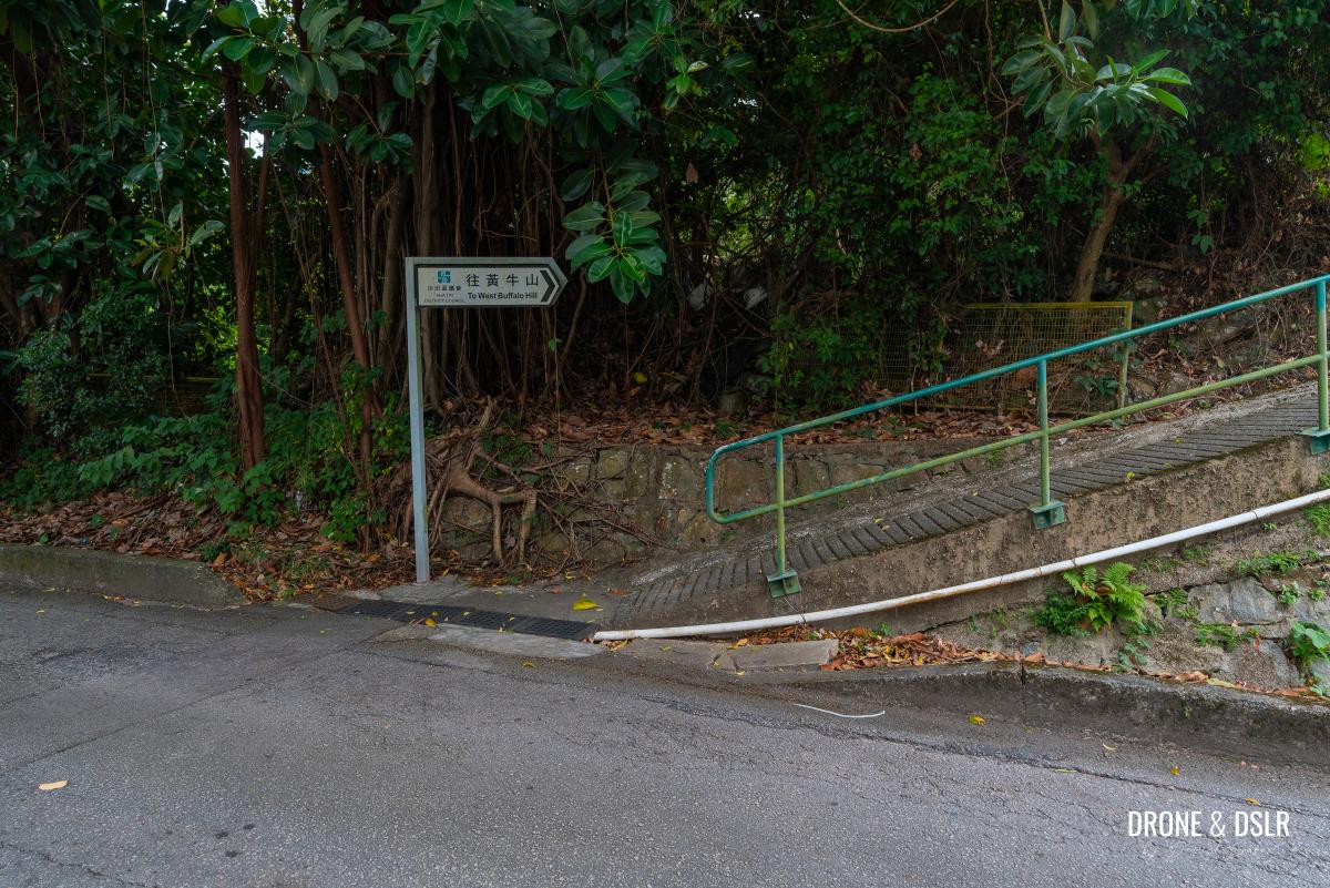
Once at the Wong Nai Tau Bus Terminus, walk up the steps at the end of the bus terminus and follow the signs for West Buffalo Hill at the fork.
-
- Follow the ramp or steps behind the bus terminus

-
- Follow the signs for West Buffalo Hill or Tai Che Village (shorter route)
Alternatively, to take a shorter route, follow the signs for Tai Che Village and turn right at the fork. Walk a few metres ahead and then enter the village.

Enter Tai Che Village
At the end of the path, turn right and then take the narrow path on the left after a couple of houses. Walk on this path as it cuts between the houses and then exits Tai Che Village.
-
- Turn right once you enter the village

-
- Take this left turn between the houses at Tai Che Village

-
- Walk up between the houses

The path climbs on a gentle incline through a canopy of trees before emerging onto a road. Follow the signs for West Buffalo Hill on the opposite side of the road.
-
- Exit the village and keep walking up

-
- Almost at the end of this path

-
- Cross the road and follow the signs for West Buffalo Hill
To The Resting Area
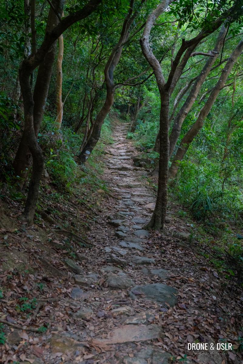
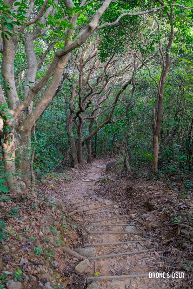
The next 1.5 km of the hike follows a moderately challenging climb, along West Buffalo Hill.
As you leave the road behind, follow the ramp and turn left before the path’s end to begin your ascent towards West Buffalo Hill. The trail quickly transforms into a picturesque woodland path, where gentle slopes and steps guide you upward.
-
- Once on the ramp, turn left to enter the woods

-
- Follow this picturesque path

-
- The path is a mix of slope and steps

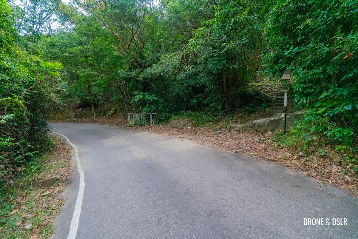
About 200 meters in, an information board comes into view. Take a moment to orient yourself before turning right toward Shek Nga Pui
When you reach this information board, turn right and follow the trail
This turn marks the beginning of a steeper climb, but don’t worry – the trail remains shaded throughout this section, shielding you from the sun on a hot day.
-
- The trail gets a bit more challenging

-
- The trail keeps ascending at a moderate rate

Keep a steady pace and enjoy the ascent until you reach a point where the trail levels out and bends left. This is the shortcut entrance to West Buffalo Hill.
-
- Follow the path uphill towards Shek Nga Pui

-
- Lots of shade on the uphill climb thankfully

-
- This is the point where the shortcut for Buffalo Hill begins on the left. But you should stay on the trail.

But to continue towards Shek Nga Pui, stay on the trail as it winds its way around the bend and continues upward, eventually arriving at a rest area with a decent view of Shatin.
-
- Trail flattens after West Buffalo Hill shortcut

-
- The incline remains gentle at this point
-
- A long uphill stretch
If needed, take a brief break here before continuing onward.
-
- A rest area after that long climb
-
- The view of Shatin from the rest area

To Shek Nga Pui
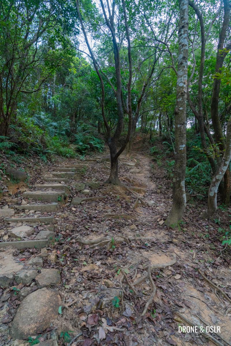
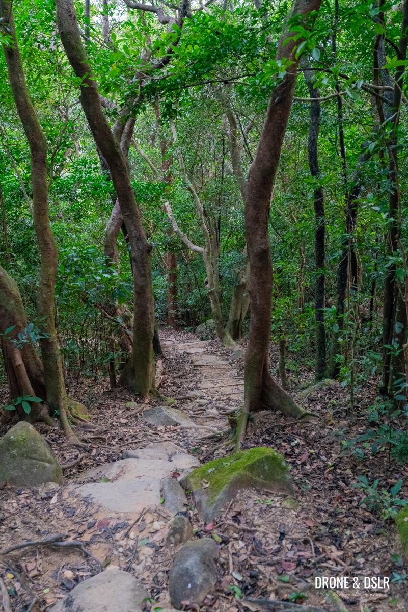
From the rest area, continue your ascent towards Shek Nga Pui. Ahead, you’ll encounter more of the same challenging terrain that brought you here.
-
- Continue hiking after the rest area

-
- Keep climbing towards Shek Nga Pui

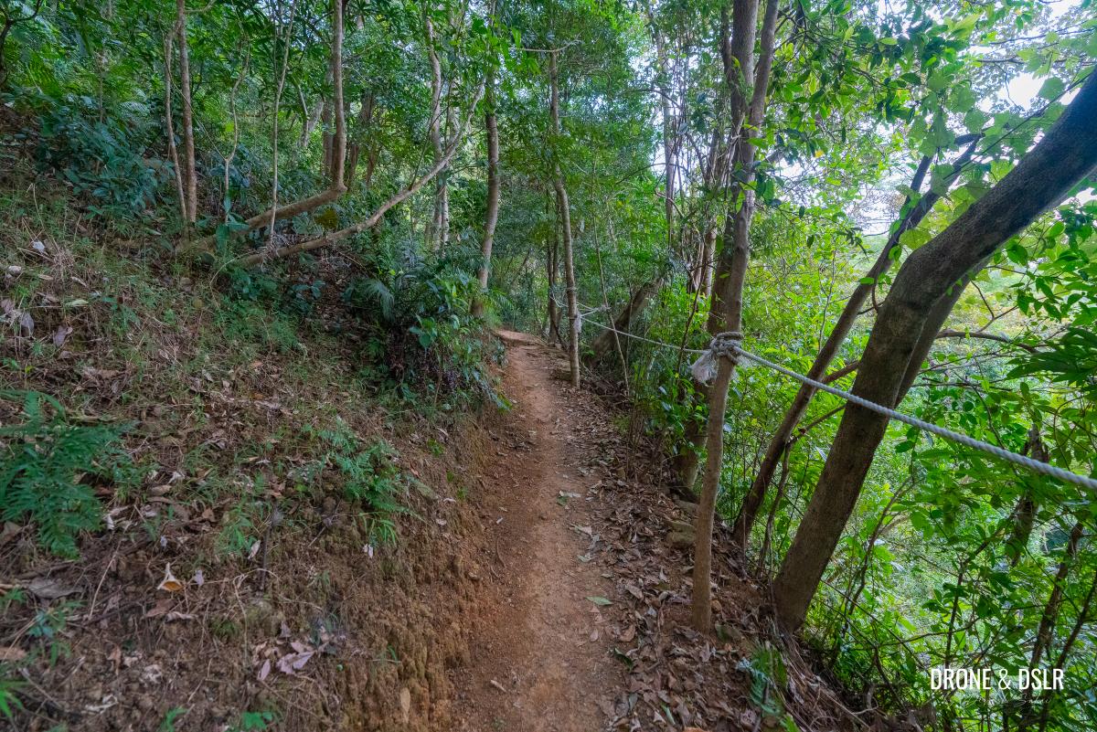
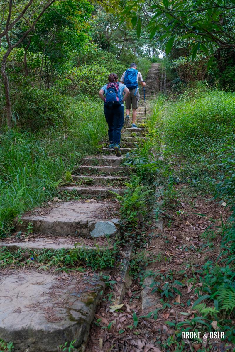
There are a few steep sections along the path that are relatively more challenging. In fact, I encountered a section that had come off in a landslide recently. I had to proceed with caution even though there was a longer alternative route.
-
- This part of the trail was affected by a landslide. Turn left for a longer, safer option. Turn right to tread carefully.

-
- The part of the trail that was affected by a landslide
-
- The two routes reunite and continue

After this, the trail briefly turns flat before approaching the final ascent.
-
- A bit of relief on this flat section

-
- The final ascent to Shek Nga Pui begins
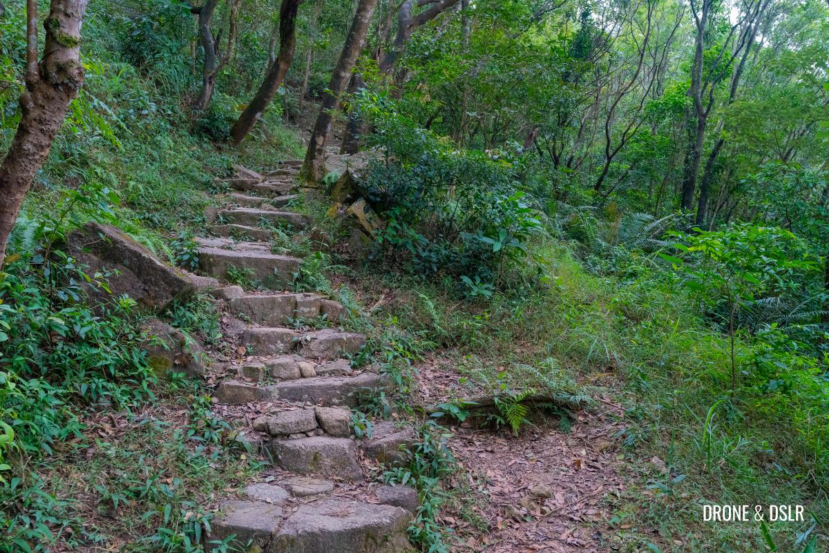
Once again, climb at a gentle pace till the steps land at a flat open space, with a place to sit. This is Shek Nga Pui, a short but satisfying hill that serves as a meeting point for several trails.
-
- Almost at Shek Nga Pui

-
- The steps land at Shek Nga Pui

In fact, there is another trail entrance from here to West Buffalo Hill.
Taking a break at Shek Nga Pui, the meeting point of multiple trails, including the second entrance to West Buffalo Hill
Merge with Maclehose Trail Section 4
To continue, follow the trail downhill on the opposite side of where you arrived.

To continue, walk downhill on the opposite side
Keep walking downhill for about 100 metres till the trail you’re on intersects with Maclehose Trail at a perpendicular angle.

The point where the trail merges with Maclehose Trail Section 4
I hadn’t realized till now that I had encountered relatively few hikers on my way up — probably just five in total. However, given the popularity of Maclehose Trail (specifically Section 4), I saw 5 hikers even before I stepped onto the trail.
To The Gilwell Campsite
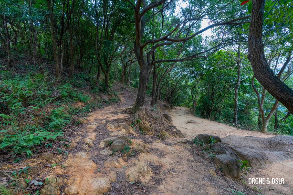
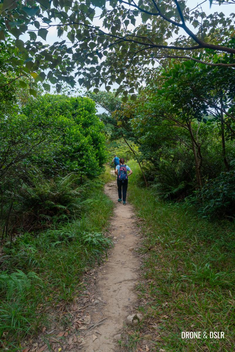
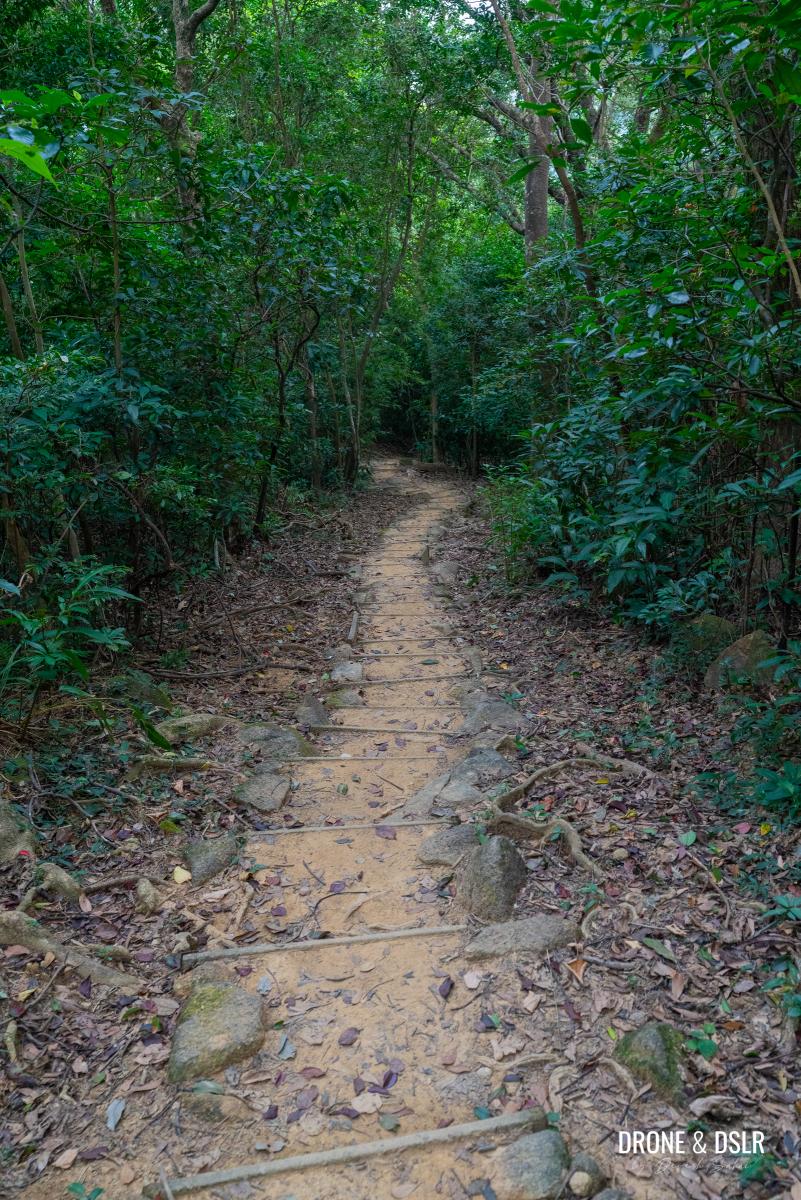
Turn right as you step onto Maclehose Trail and continue hiking. The next 500 metres of the trail is not only easy but also very scenic.
-
- Turn right onto Maclehose Trail and continue hiking
-
- A cold and damp day to be hiking on Maclehose Trail towards Tung Yeung Shan
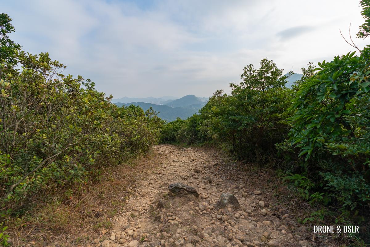
As the trail moves away from West Buffalo Hill, it flattens and looses its shade. As the canopy of trees disappears, you get the first view of Sai Kung in the distance.
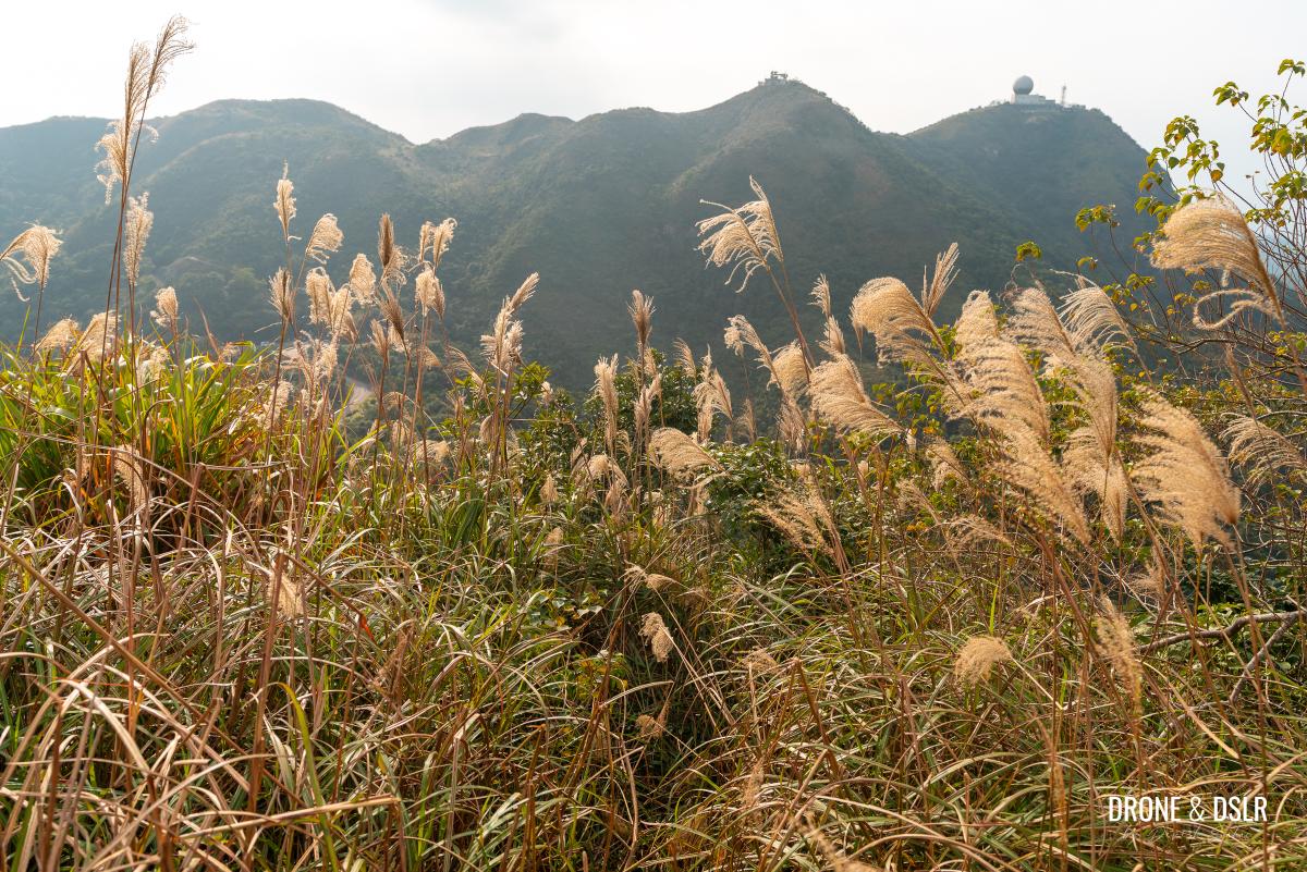
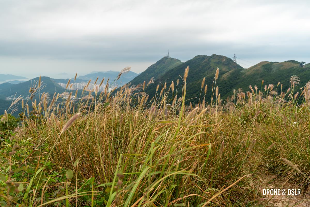
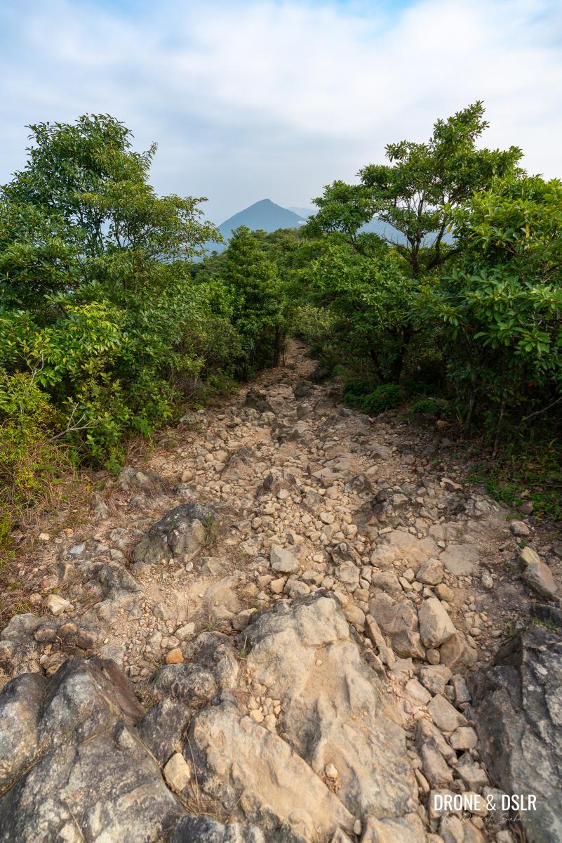
Further ahead, the trail gets more scenic as it moves behind the Kowloon hill range, with views of Tung Yeung Shan, Tate’s Cairn, and Temple Hill ahead.
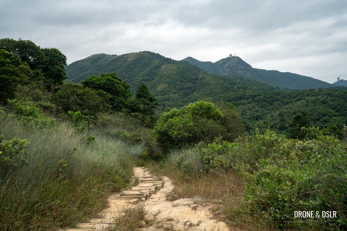
Views of Tate’s Cairn and Temple Hill
But that’s when the views disappear momentarily as the trail prepares for a relatively long ascent up steps. Once again, climb at a comfortable pace.
-
- The trail loses its view before ascending
-
- The climb resumes on Maclehose Trail
-
- Go easy on this section

At the end of the steps, there is an unmarked trail that leads you to Tung Yeung Shan. But unless you’re comfortable navigating your way through the bushes, I suggest continuing ahead.
The end of the climb
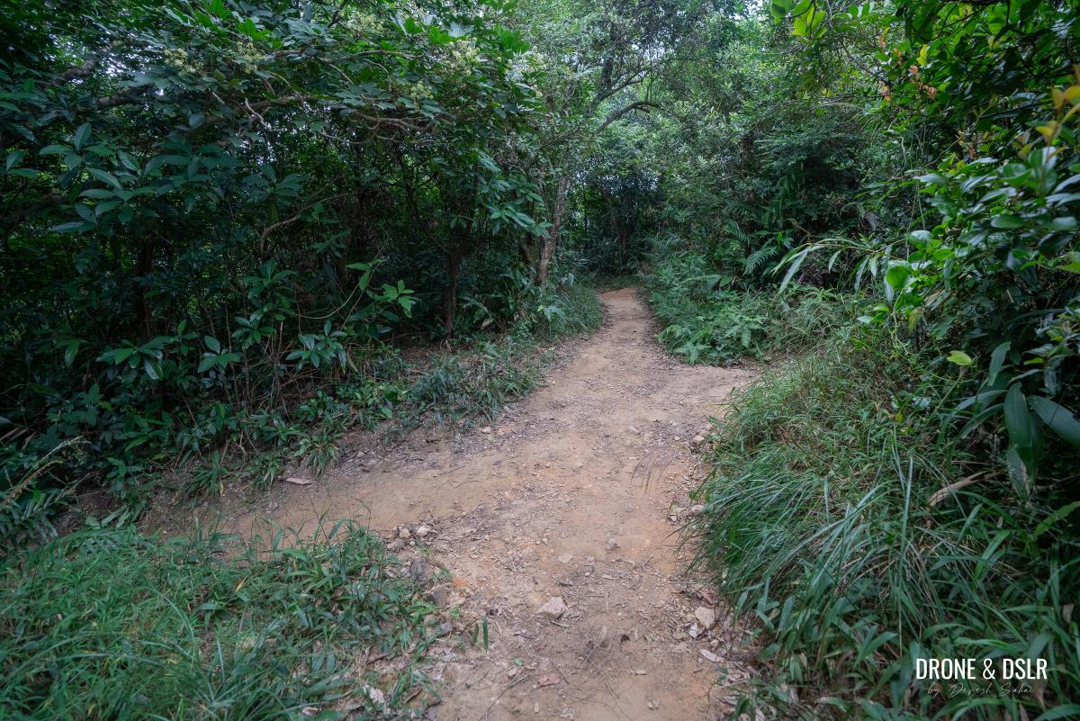
The trail continues on a flat terrain for another 300 metres, at which point it turns right (watch out for the Maclehose Trail markers). The trail descends into a stream and climbs back up on the other side.
-
- Turn right at the Maclehose Trail markers

-
- Climb up after the stream

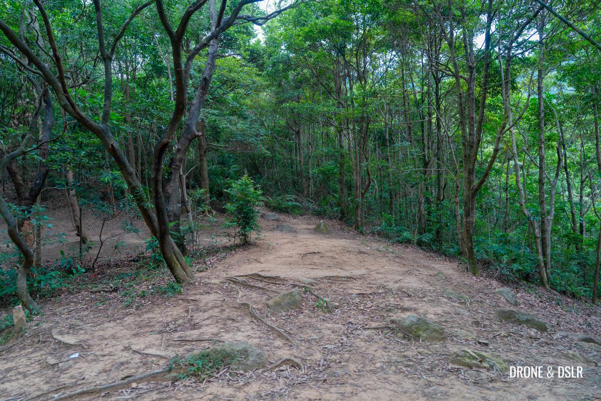
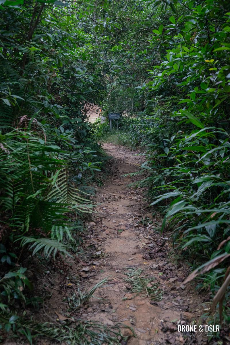
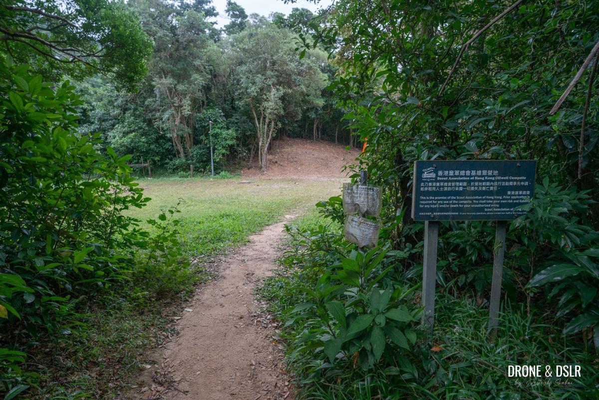
Keep walking for another 100 metres till the trail reaches a four-way intersection. At this point, turn left and walk till you reach an open area that belongs to the Scout Association of Hong Kong Gilwell Campsite.
-
- Turn left at this four-point intersection
-
- Walk down this trail
-
- You’ve arrived at the Gilwell Campsite
To Tate’s Pass
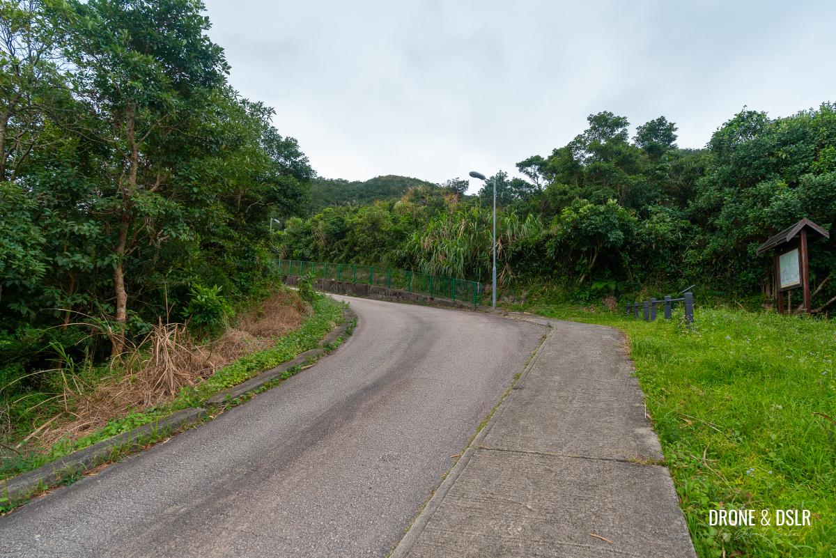
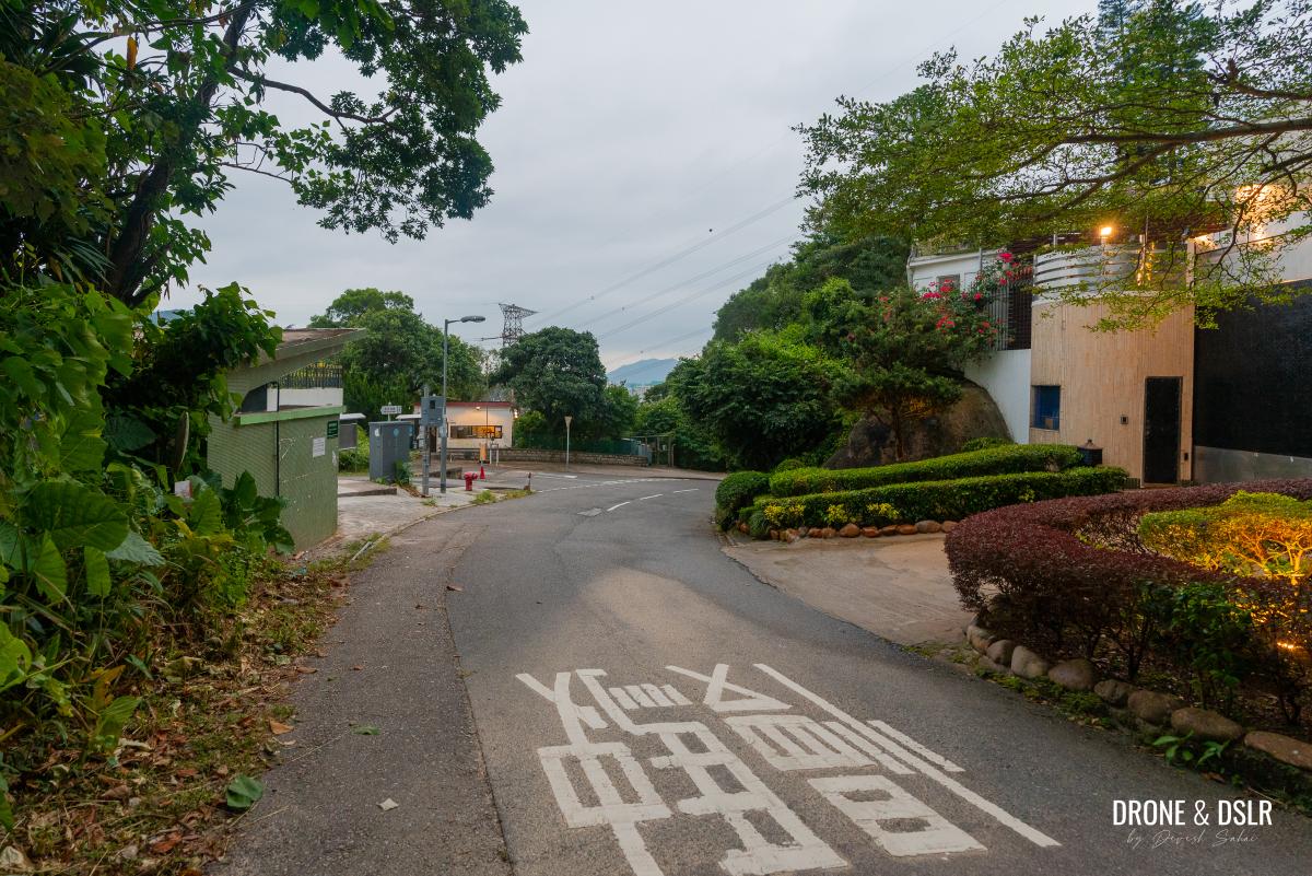
Across the open space, you’ll see a motorable road ahead. The road serves as a meeting point for Sections 4 and 5 of the Maclehose Trail, which continues towards the right.
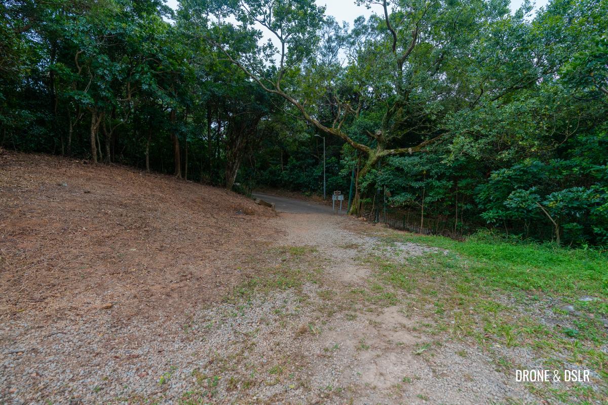
Cross this space and onto the road
However, instead of continuing on Maclehose Trail, turn left. As you walk along the undulating road, it will pass by the Gilwell Campsite and its parking area before reaching a sharp right-hand turn at Tate’s Pass.
-
- Turn left and continue walking on this road
-
- Walk past the Gilwell Campsite area
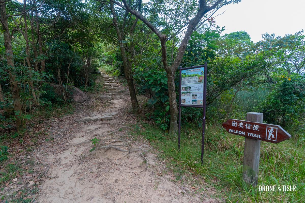
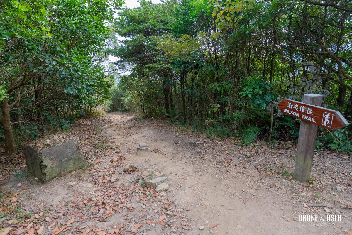
At this point, follow the signs for Wilson Trail and make a left turn onto the trail.
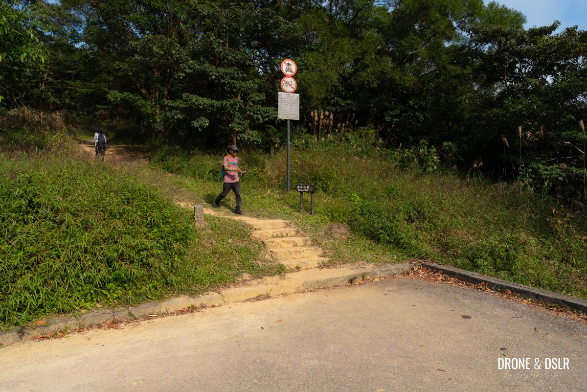
Keep walking till the road turns right, and there is a sign for Wilson Trail on the left
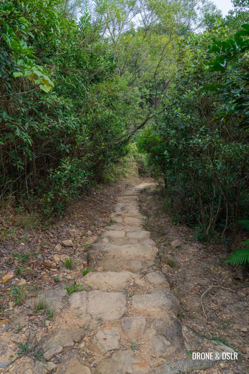
Final Ascent on Wilson Trail
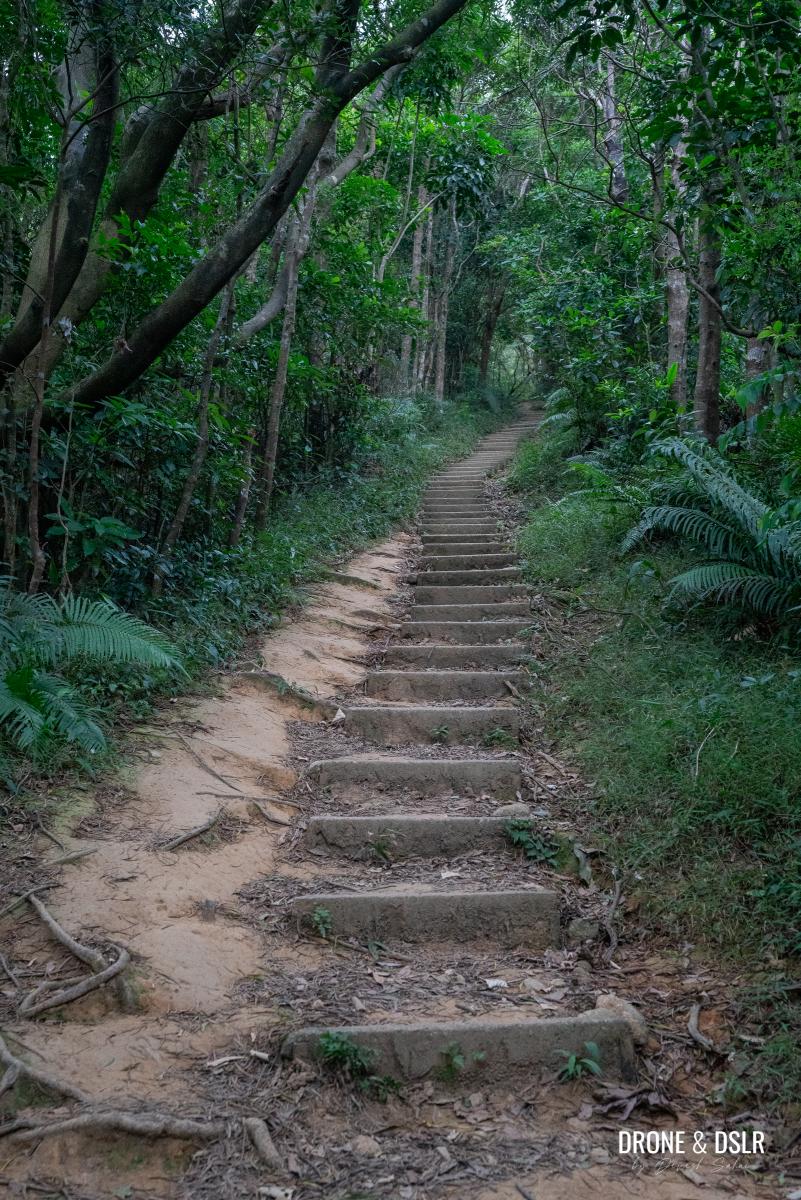
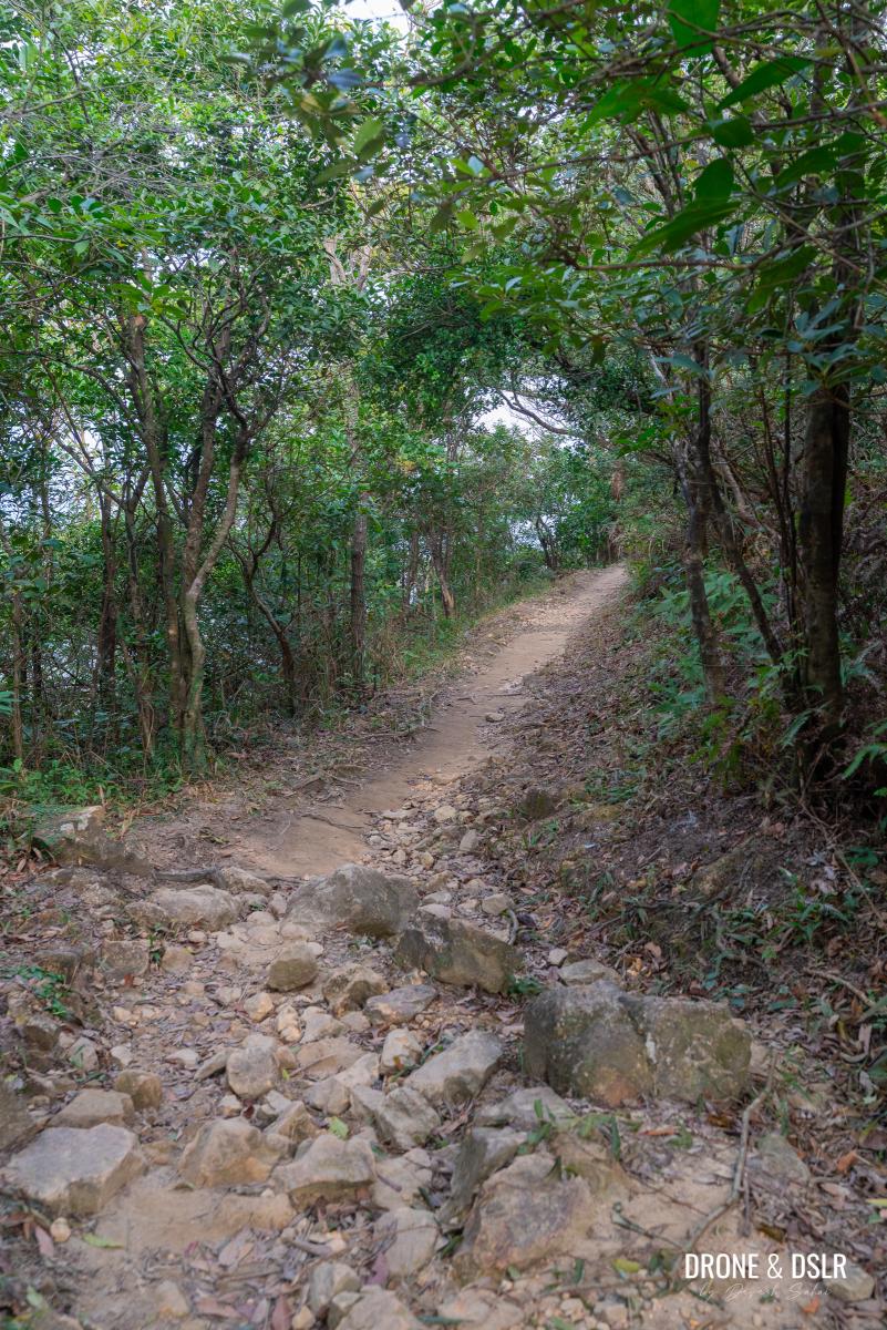
You’re now at the home stretch for Tung Yeung Shan. As you enter Section 4 of the Wilson Trail, you’ll be greeted by a long, but fairly easy flight of steps.
Enter Wilson Trail Section 4 and start climbing
After the steps, there is a short flat section before the trail reaches the bottom of the summit.
-
- The trail flattens after the initial climb
-
- Keep hiking on Wilson Trail
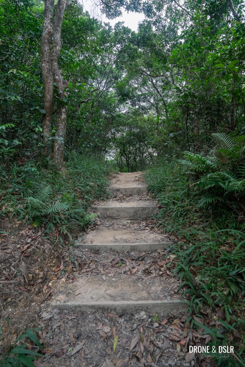
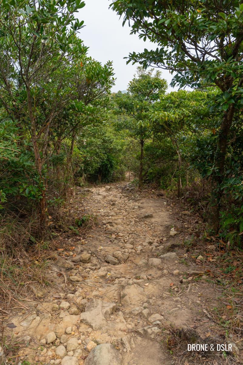
From here on out, the trail approaches a steep but short climb to Tung Yeung Shan. If you’re hiking here during autumn, you’ll begin noticing silvergrass as you approach the summit.
-
- And the final climb to Tung Yeung Shan begins!
-
- The climb is a bit steep in parts

-
- The silvergrass emerges right before the summit
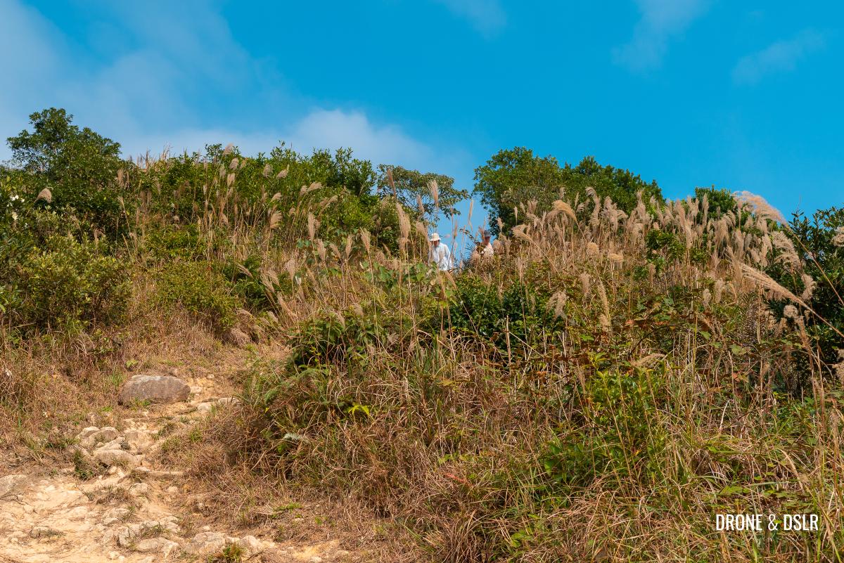
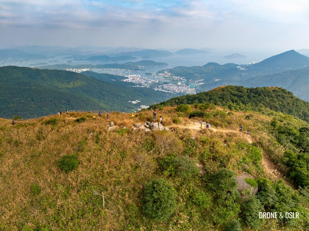
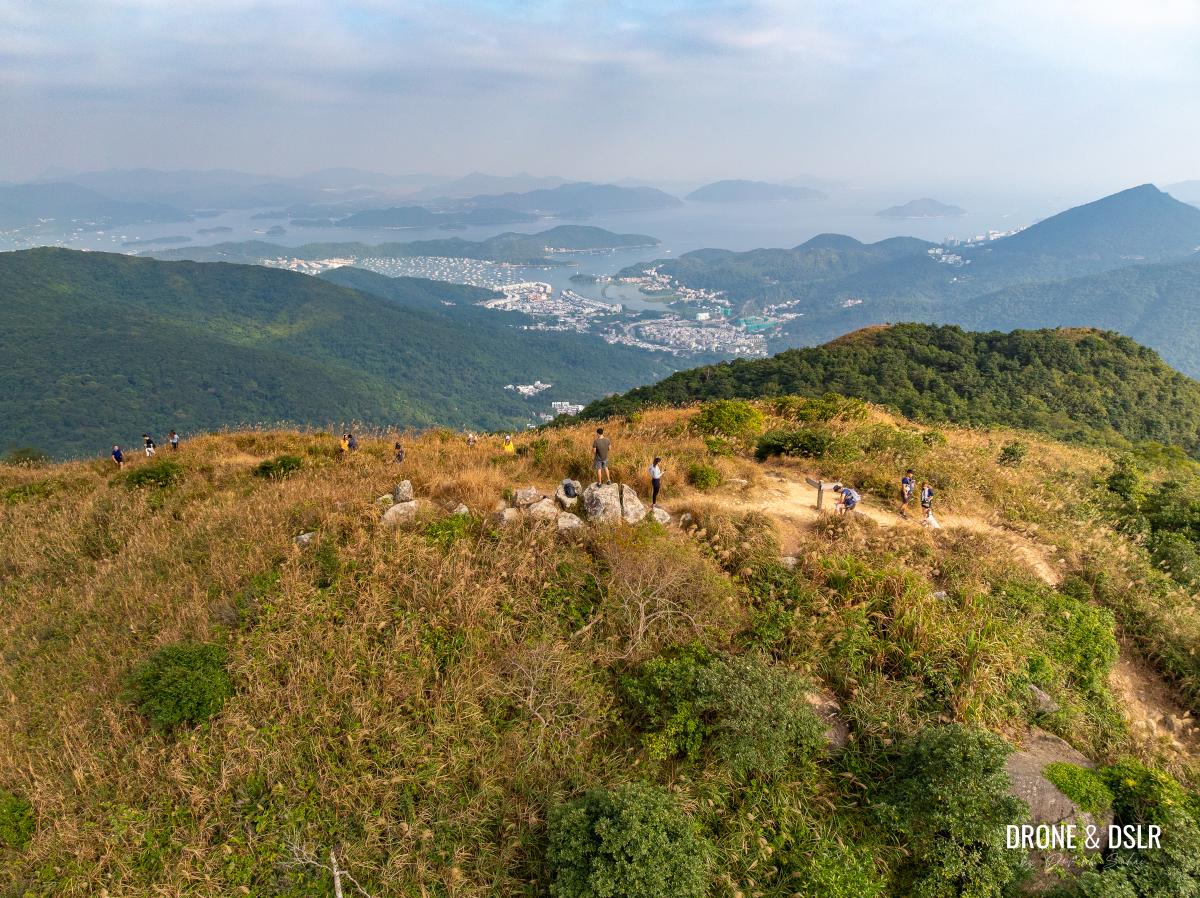
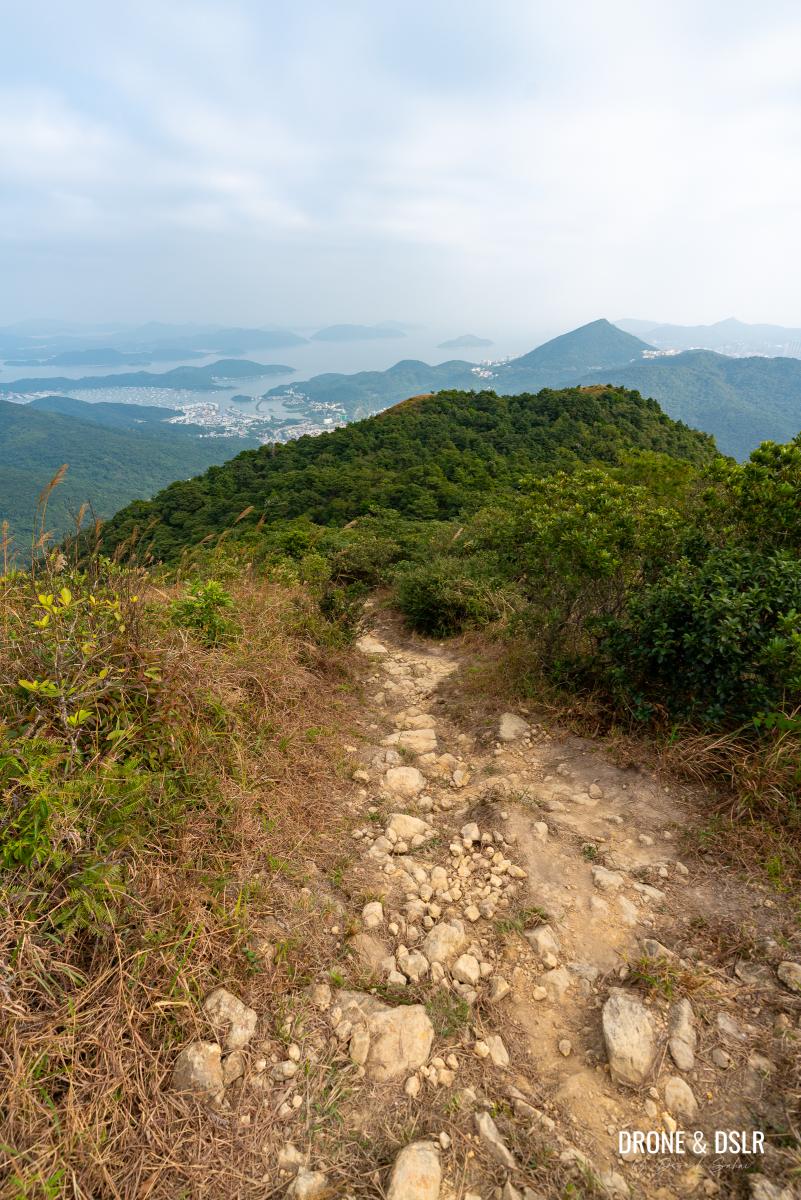
And once you reach the summit, you’ll notice the silvergrass almost everywhere.
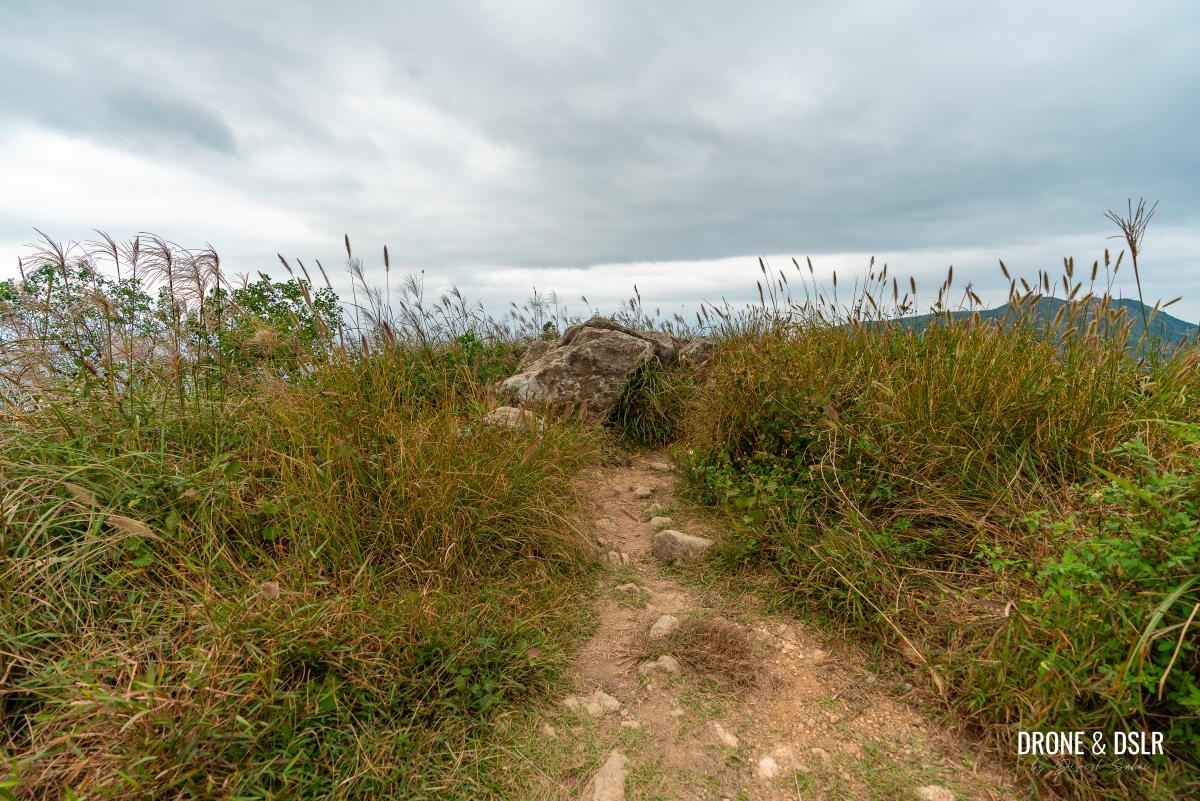
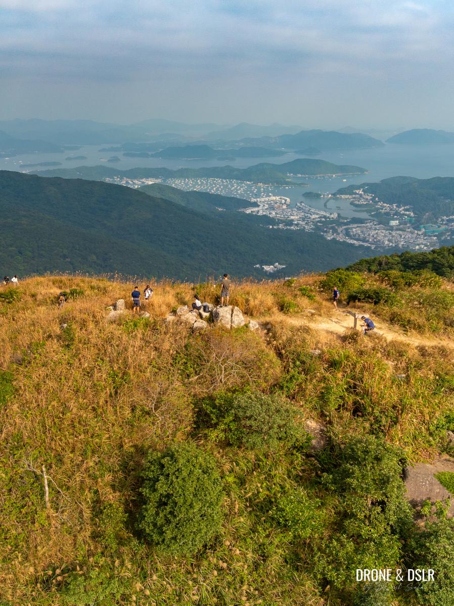
The summit of Tung Yeung Shan
Views from Tung Yeung Shan
The first time I hiked up Tung Yeung Shan was on a cloudy, with the T3 signal in force. Thankfully, it hadn’t started raining, but the views and winds on top were truly spectacular.
-
- Views of Shatin beyond the silvergrass on Tung Yeung Shan
-
- Bursting with silvergrass — Tung Yeung Shan
-
- The back of the Kowloon range seen from Tung Yeung Shan

-
- The summit of Tung Yeung Shan with Sai Kung in view
I had the hill and the winds to myself for quite some time.

Tung Yeung Shan, Hong Kong
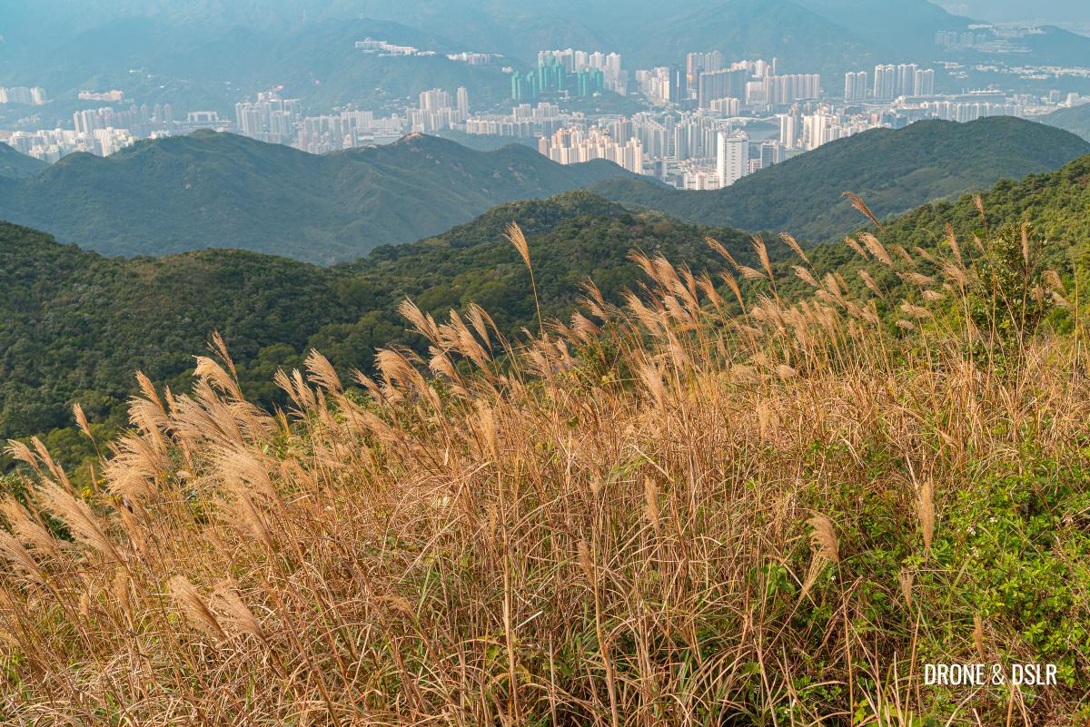
The rocks on top of Tung Yeung Shan offer hikers a spot to sit and appreciate the views all around — from East Kowloon, Sai Kung, Shatin, and the hills behind. Kowloon Peak and Tate’s Cairn look amazing from up here.
Kowloon Peak against the silvergrass on Tung Yeung Shan
Options To End The Hike
As mentioned earlier, Tung Yeung Shan can be reached via three different routes. Since we approached the hill from Shatin via Maclehose Trail, we have the option to descend either along Fei Ngo Shan Road (a motorable road) or Wilson Trail. I will first discuss Fei Ngo Shan Road, as it is easier to navigate and a more convenient choice for those planning to go to Hong Kong Island or Kowloon after the hike.
Next, I will provide a guide for the second option, Wilson Trail, which is slightly more challenging but better suited for those heading towards Sai Kung afterward.
Option 1: End The Hike via Fei Ngo Shan Road
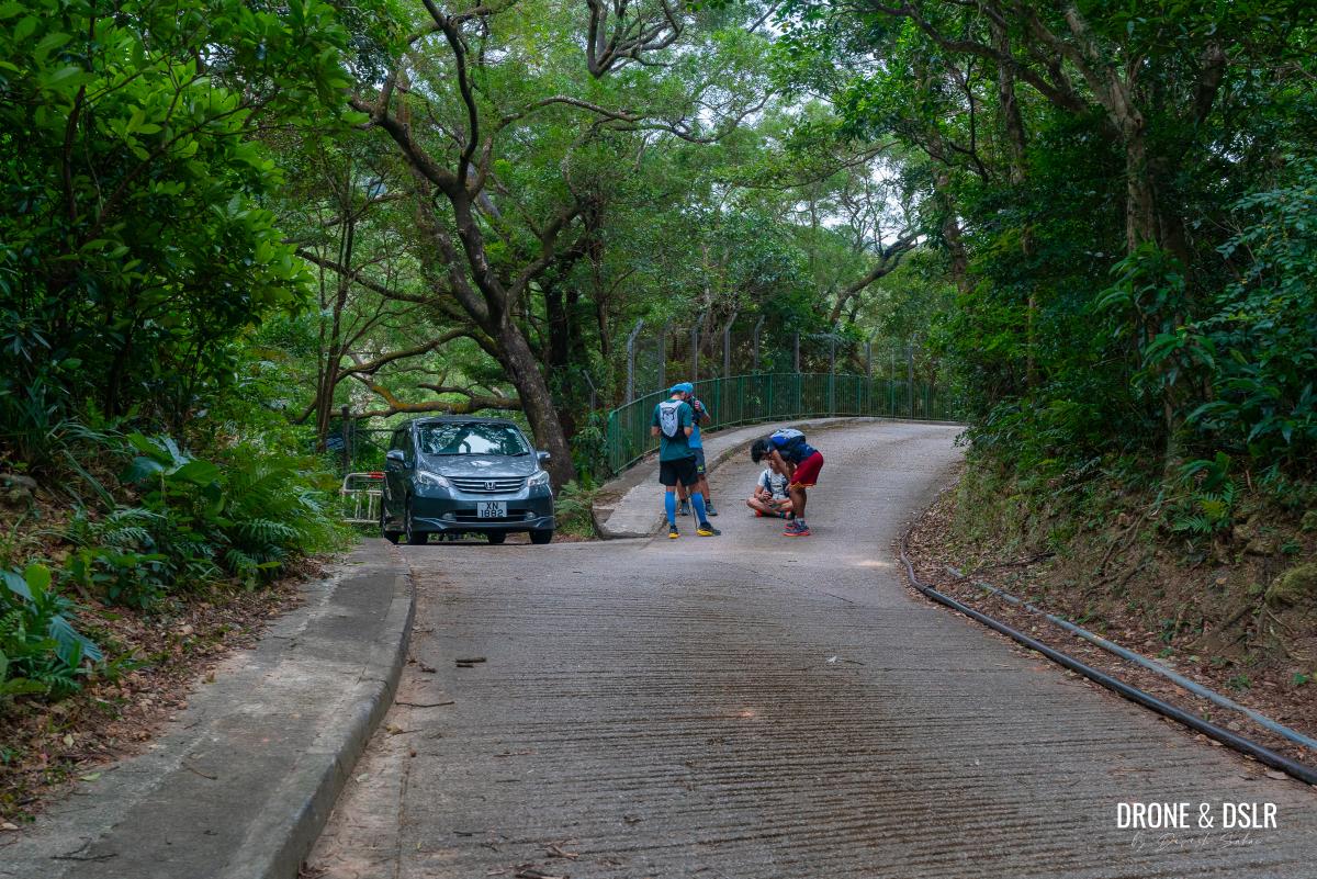
After admiring the views, begin your descent by returning to the road from where you entered Wilson Trail, and continue walking straight ahead. Stay on the road for about 100 metres till this road intersects with Fei Ngo Shan Road.
-
- Climb down and retrace your steps to Tate’s Pass

-
- Walk up the road
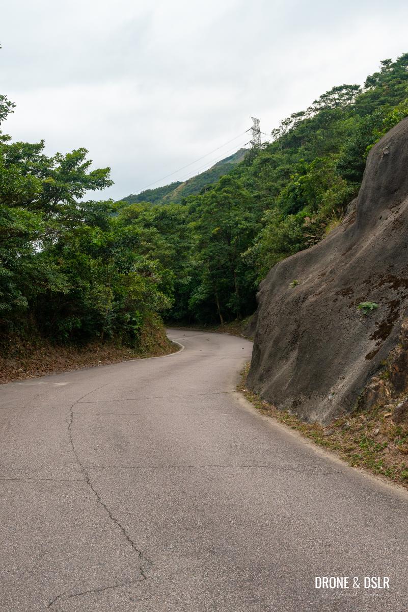
At this point, turn left on Fei Ngo Shan Road and begin your walk downhill.

Turn left onto Fei Ngo Shan Road
Walk downhill on Fei Ngo Shan Road
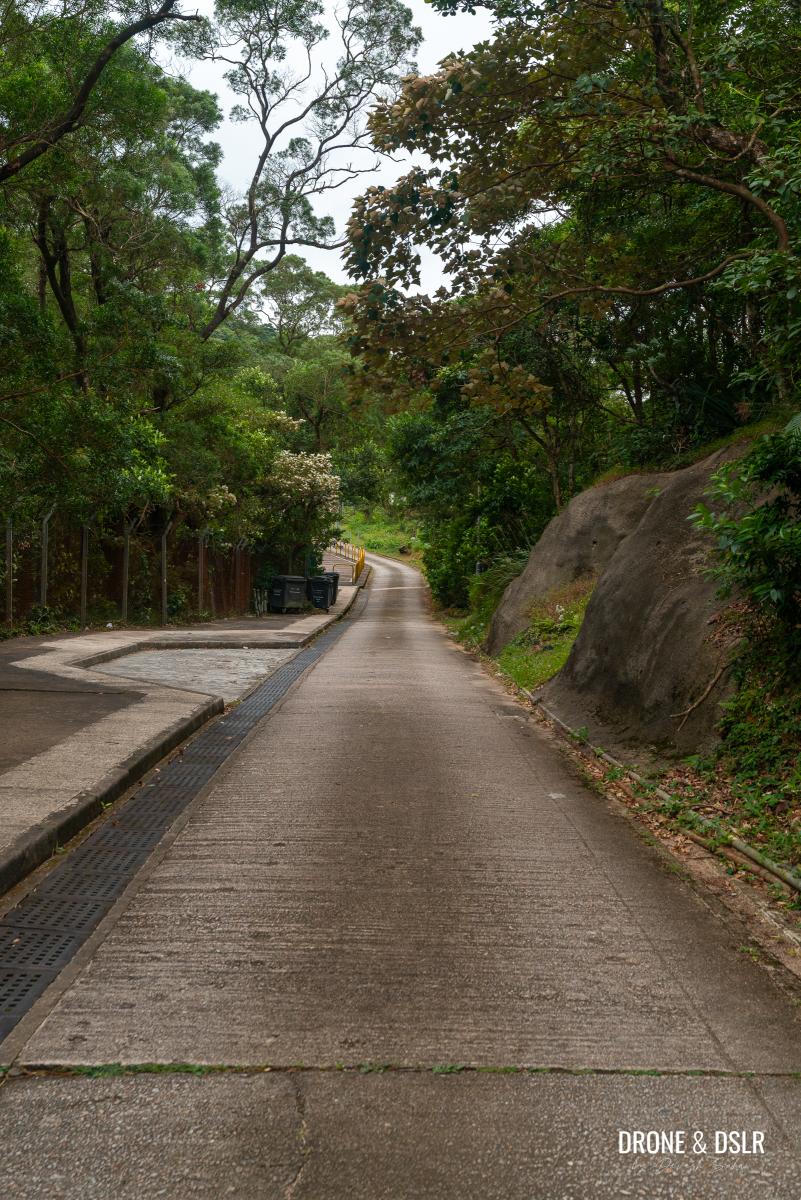
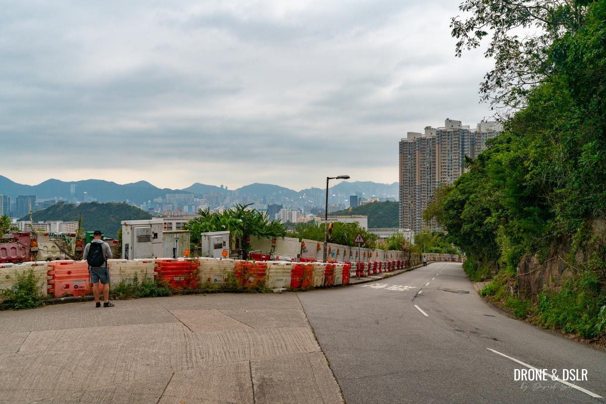
The next 3 km of the hike are fairly straightforward and not too exciting. It’s essentially a downhill walk on Fei Ngo Shan Road, with no views and the occasional car driving uphill.
Begin your descent on Fei Ngo Shan Road
There’s also no chance of you getting lost. Simply stay on the road and walk downhill.
-
- Watch out for the occasional car on Fei Ngo Shan Road

-
- It’s a long walk down with few pavilions

At the halfway mark, you’ll reach the entrance to hiking trail the Kowloon Peak and Suicide Cliff.
The entrance to Kowloon Peak and Suicide Cliff on Fei Ngo Shan Road
Continue on Fei Ngo Shan Road for another kilometre before the beautiful houses start making an appearance.
-
- Keep walking downhill

-
- Walk past the beautiful properties on Fei Ngo Shan Road
Try not to feel too poor as you walk past the houses at Fei Ngo Shan Road. Keep walking downhill till you reach the end, where Fei Ngo Shan Road meets with Clear Water Bay Road.
-
- Keep walking downhill as you admire the trees

-
- Almost back to the bustling city
-
- And finally on Clear Water Bay Road

End on Clear Water Bay Road
Unfortunately, the closest bus stop on Clear Water Bay Road is still another 400-metre walk. From there, you can find a bus to Diamond Hill, Choi Hung, Hang Hau, HKUST, or even Sai Kung.
Option 2: End The Hike via Wilson Trail
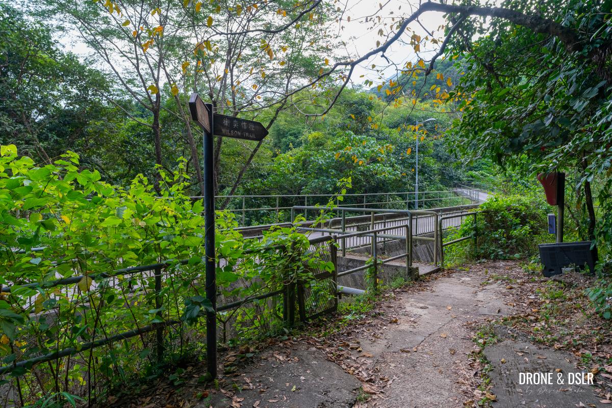
The second option to end the Tung Yeung Shan Hike is to continue following Wilson Trail downhill on the opposite side towards Sai Kung. Simply find the sign for Wilson Trail and follow the trail downhill.
-
- On top of Tung Yeung Shan

-
- Let’s head down on Wilson Trail towards Sai Kung
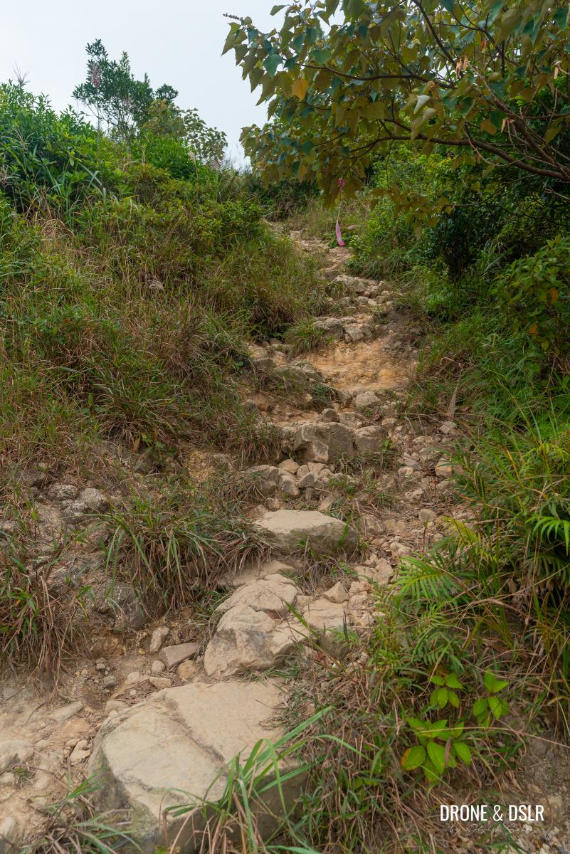
Wilson Trail initially descends quite steeply, and the loose rocks on trail make the descent slightly challenging. Watch your step as you walk downhill.
The initial section is a little steep with loose rocks
The views come and go as the trail reaches another sign for Wilson Trail. Follow the steps after the sign, which lead you onto the most challenging but scenic section of the descent.
-
- Another sign reminding you which way is Wilson Trail
-
- Follows the gentle steps downhill
-
- The start of the rugged section
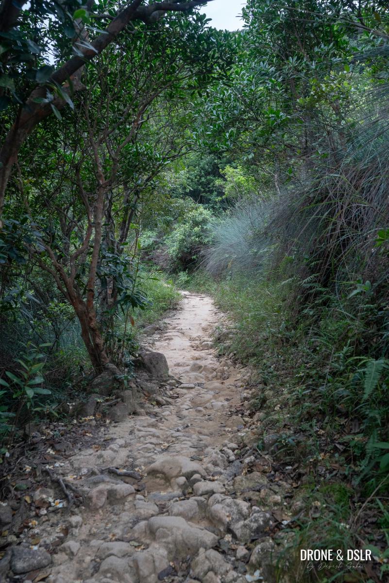
After the steps, the trail transforms into a rugged path consisting of loose and large rocks, making it quite difficult to walk on. However, the views of the rolling hills in the horizon are a beautiful sight.
-
- At least the views make up for this horrid, rugged terrain
-
- Pretty sure your knees are dying at this point
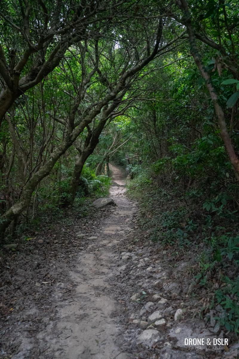
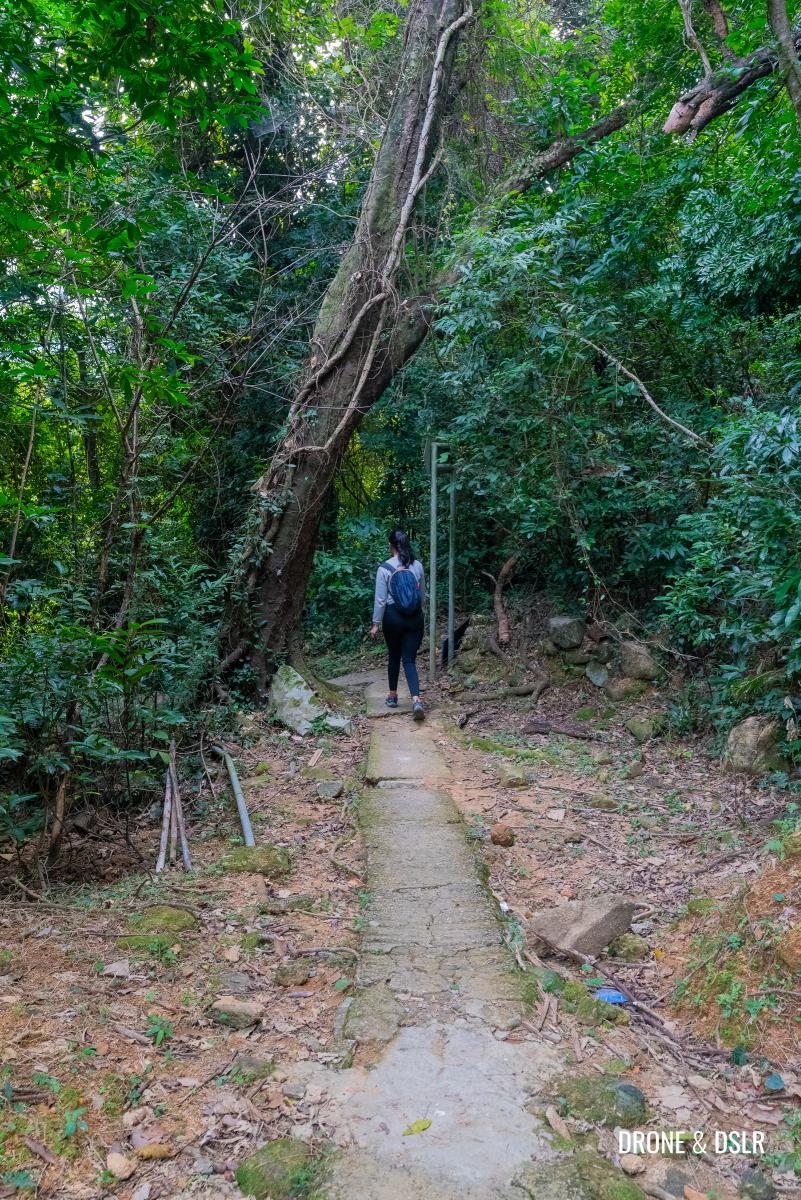
Be careful as you navigate this treacherous section that thankfully ends when the trail briefly enters a canopy of trees.
Thankfully the rugged section comes to an end here
After the trees, steps return and so does the view. But this time, the views are of the beautiful Hebe Haven in Sai Kung.
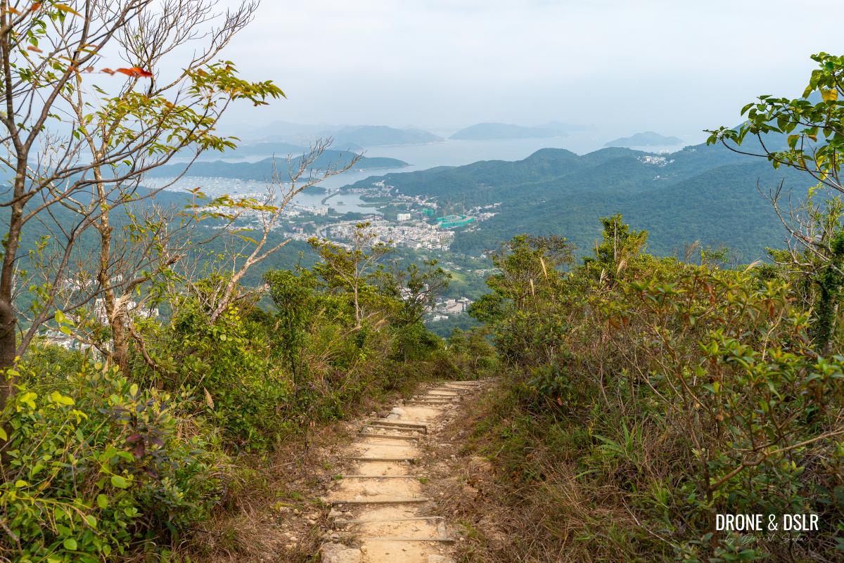
Beautiful views of Hebe Haven from this section of the descent
As you continue downhill, the trail finally enters the area below the tree line, eliminating the views from here on out.
As the trail comes below the tree line, say bye-bye to those views
The trail twists and turns as it navigates the narrow section between trees on either side.
Winding down between the trees
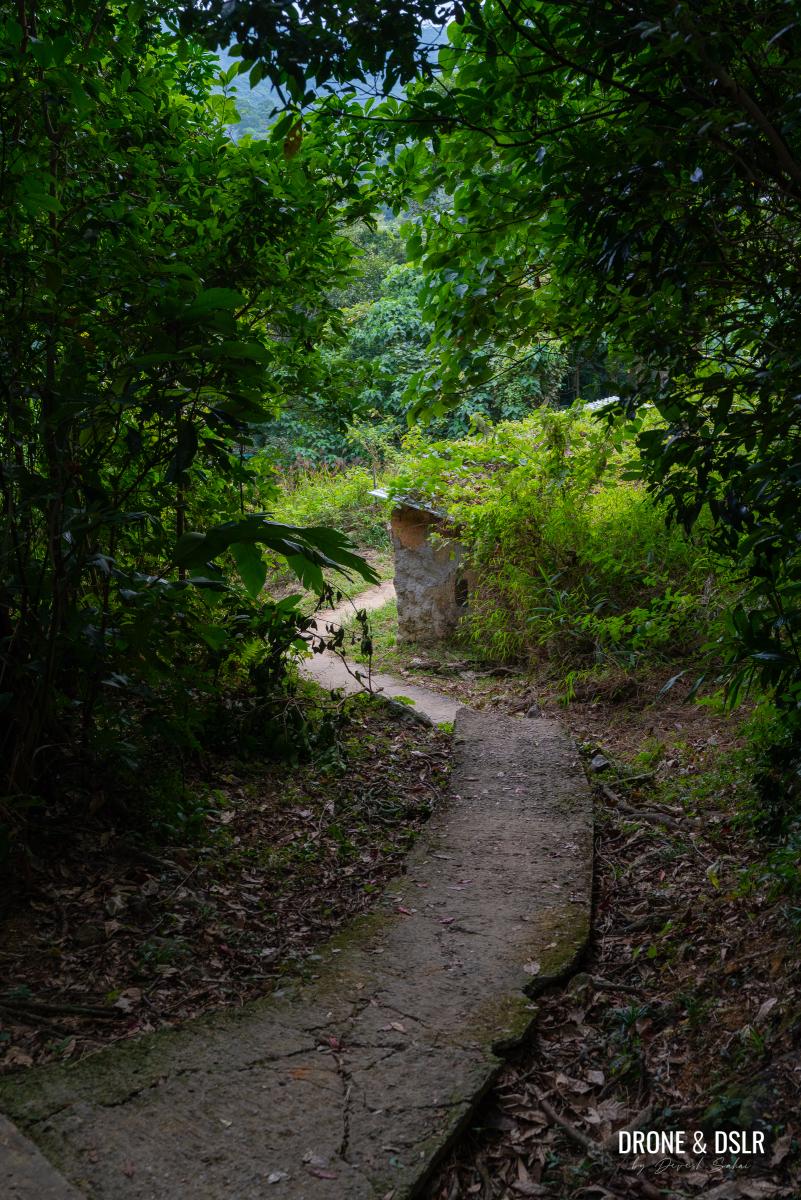
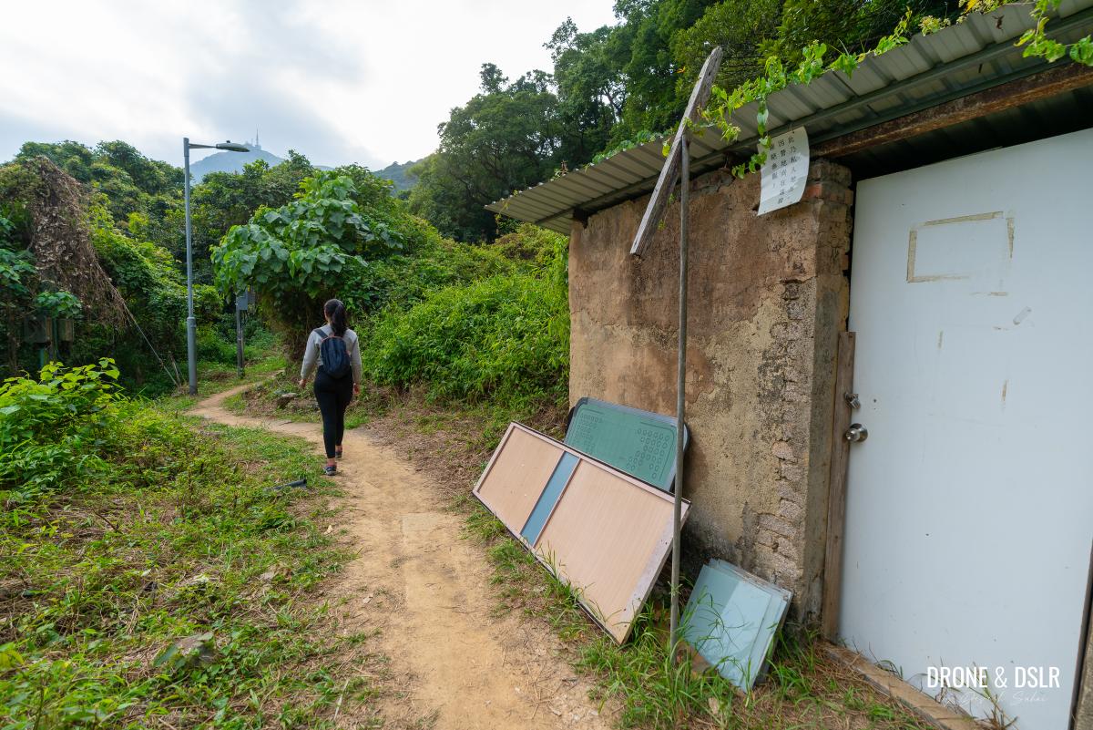
Keep following the trail as it descends under a dense canopy of trees, and then exits next to a few abandoned structures.
-
- Almost at the bottom of the hill
-
- The trail exits the canopy of trees next to this abandoned structure
Follow the path for a short distance till you finally reach a road, perpendicular to the trail.
-
- Walk past these abandoned structures
-
- Almost at the end of the trail
-
- The trail meets the road here
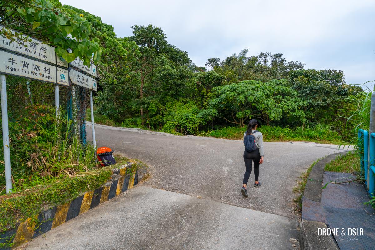
At this point, Wilson Trail continues to the right, but you should turn left onto Tai Lam Wu Road for the shortest exit.
Tai Lam Wu Road
Walking a paved road feels good after the rugged trail that you’ve just completed.
Turn left onto Tai Lam Wu Road
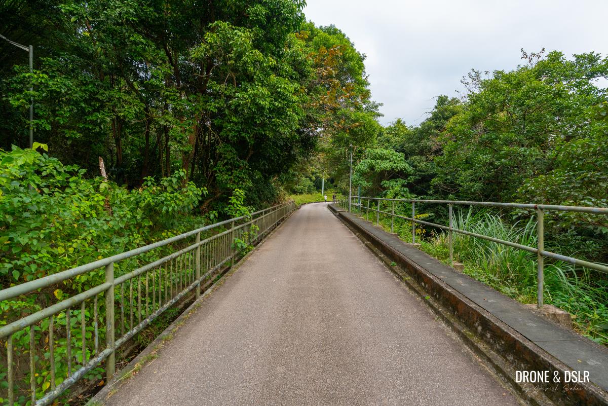
Tai Lam Wu Road is a narrow road, rarely frequented by cars. Once you’re on the road, simply follow it as it gently meanders towards civilization.
It’s a lovely walk on Tai Lam Wu Road
After approximately a kilometre, the road arrives at a bridge.
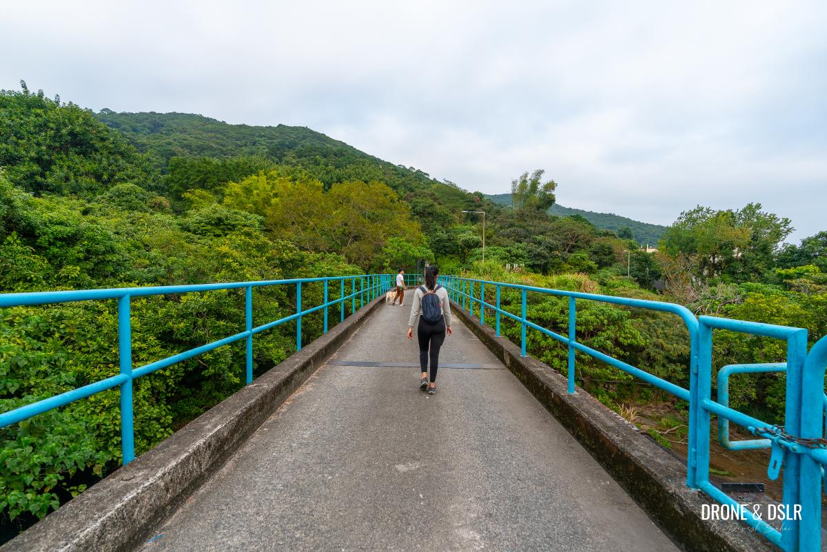
Cross the bridge
Walk to the other side of the bridge where you’ll notice that the road splits into two. To continue your journey, follow Ho Chung Road on the right.
After the bridge, turn right onto Ho Chung Road
End at Kai Ham Village
As you step onto Ho Chung Road, you enter the first village on this side of Sai Kung — Kai Ham Village.
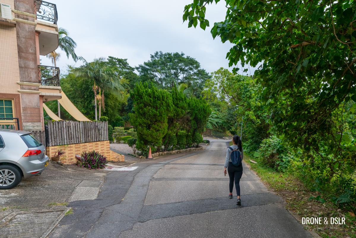
Now entering Kai Ham Village
Keep walking for approximately 100 metres, till you reach a makeshift waiting area next to the bus stop for GMB No. 2.
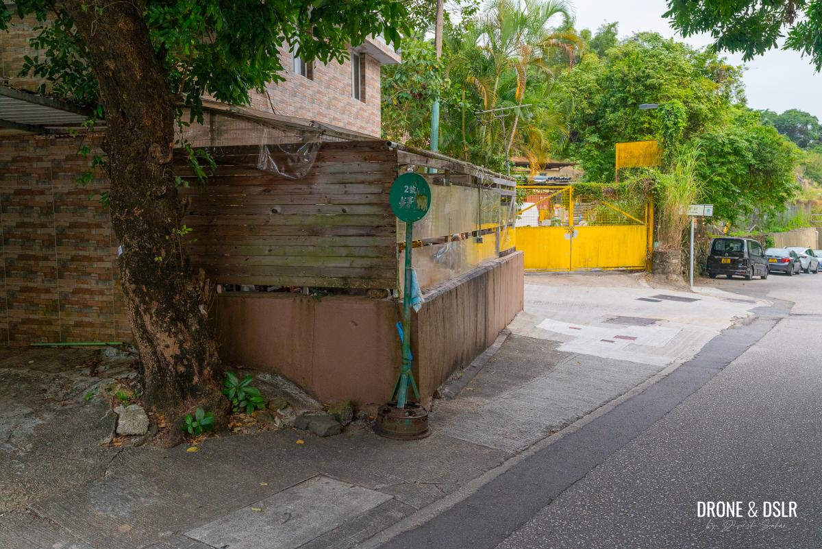
The stop for GMB number 2 to Sai Kung
Take this minibus either to Sai Kung or Hiram’s Highway for the easiest exit.
Silvergrass Awaits
During autumn, many of Hong Kong’s hills are blanketed with silvergrass, creating a breathtakingly beautiful landscape. The most popular peaks to experience this is Sunset Peak on Lantau Island. However, if you’re looking for a more accessible option closer to Hong Kong Island or Kowloon, Tung Yeung Shan is an excellent alternative.
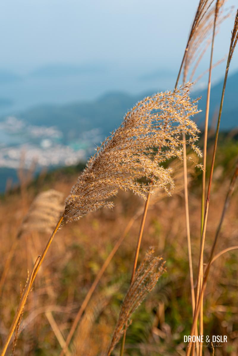
Come autumn, and many areas in Hong Kong come alive with silvergrass
If you enjoyed this hike, we recommend exploring some other peaks mentioned in this post, such as Kowloon Peak or Tate’s Cairn. If you’re seeking a more challenging adventure, West Buffalo Hill is definitely worth considering!
Feel free to share this post on the social media channel of your choice and drop us a comment below.
If you enjoy our work, come join us on Instagram and YouTube 🙂


You might also like


Leave a reply