
Pui O and Cheung Sha are two popular beaches on Lantau Island. Although they are connected via the South Lantau Road, it is also possible to hike between the two beaches.
The hike between Pui O and Cheung Sha Beach may not be as popular or challenging as the hike from Mui Wo to Pui O, but it’s still enjoyable.

Quite an easy hike to Cheung Sha Beach
The idea for the hike came when I was tasked with finding a fun, scenic, and easy hike that finishes with a good lunch for a group of friends. The group had varying levels of fitness and there was even a visitor from out of town.
Talking and walking our way to Cheung Sha Beach
Given that, I naturally thought of Lantau Island with its numerous hiking trails, beautiful beaches, and restaurants along the coastline! With those criteria, I picked the Pui O and Cheung Sha Beach Hike via Lantau Trail Section 11.
And it turned out to be a great choice for everyone!
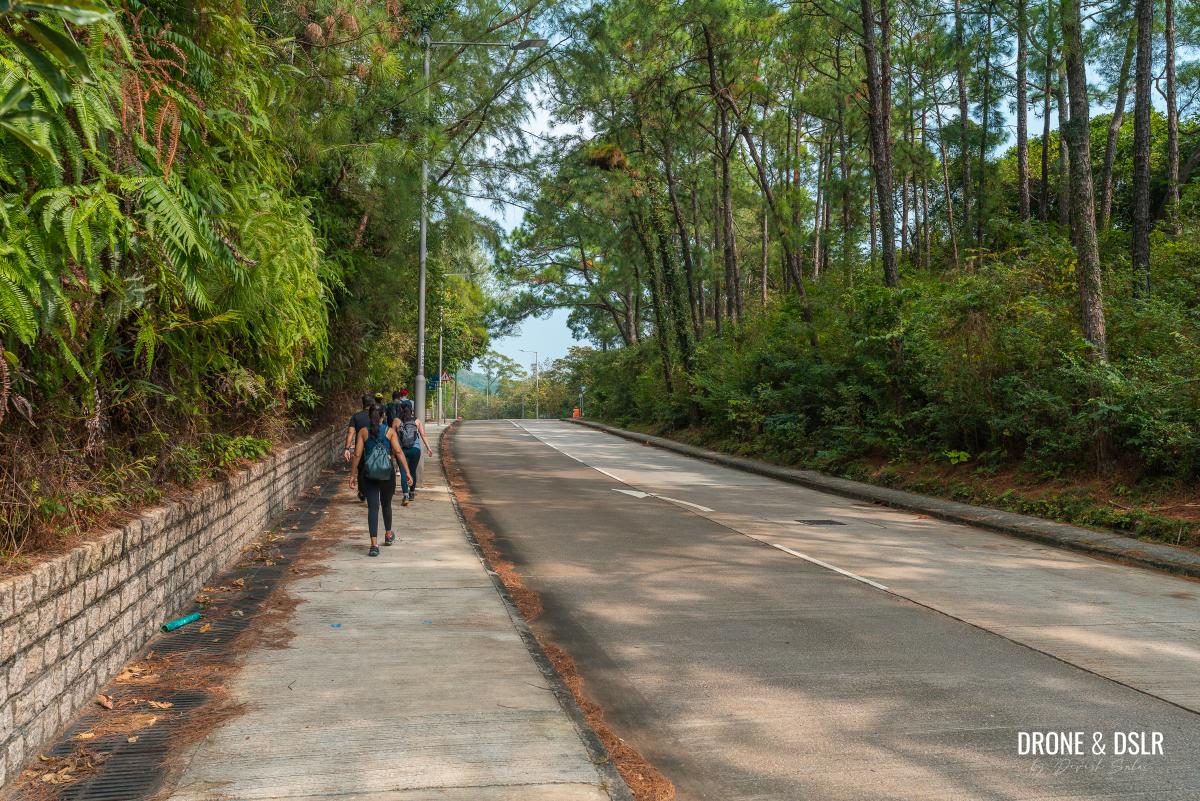
The Pui O to Cheung Sha Beach Hike was perfect for a big group
About the Pui O to Cheung Sha Beach Hike
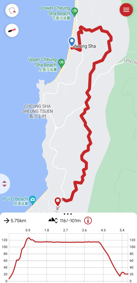
Pui O to Cheung Sha Beach Hike Map
The hike between Pui O and Cheung Sha Beach can essentially be broken into three broad sections:
- The initial climb
- The easy walk along the water catchment
- The final descent to Cheung Sha Beach
The hike crosses Lantau Trail Section 11, between Pui O village and the park next to the Cheung Sha Service Reservoir and Treatment Works, and then an additional section down to Cheung Sha Beach.
Overall, the hike is very easy and scenic. The only challenging section of the hike is the initial climb. But after that, it’s a beautiful and scenic walk.
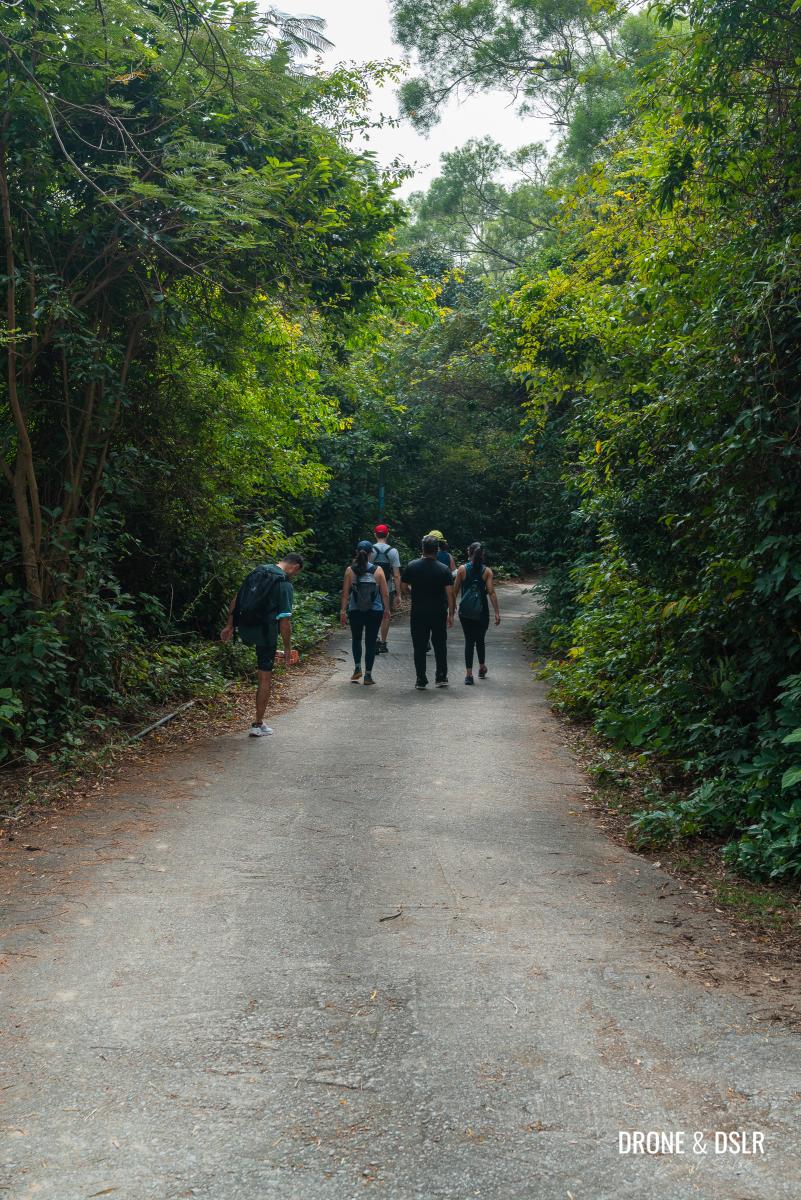
Such a lush trail!
Starting point
The starting point of the Pui O and Cheung Sha Beach Hike is Lo Uk Tsuen, which is next to Pui O village.

Lo Uk Tsuen bus stop — the starting point
To arrive here, you can catch buses 1, 2, 3M, or 4 from the Mui Wo Ferry Pier to the Lo Uk Tsuen bus stop. The Central to Mui Wo Ferry timetable can be found on the operator’s website.
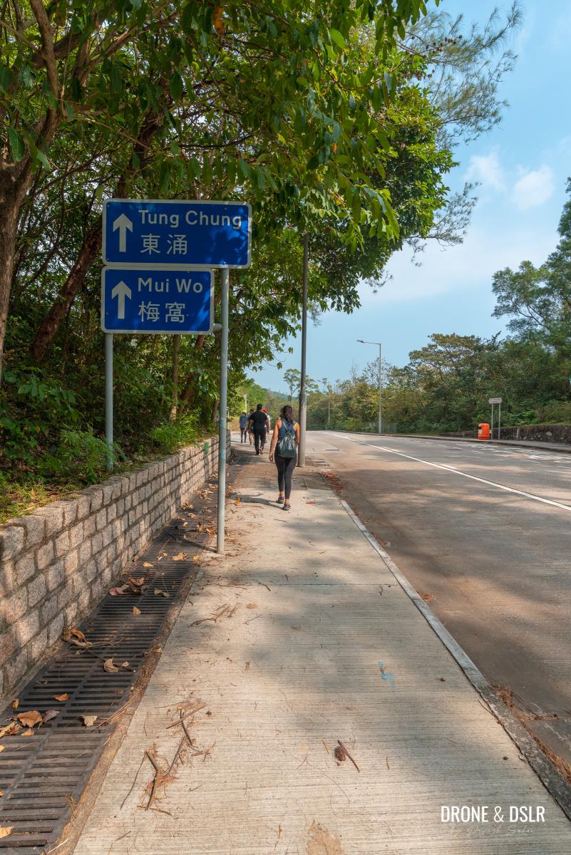
If you’re coming from Tung Chung, you can take bus 3M and alight at the Lo Uk Tsuen bus stop.
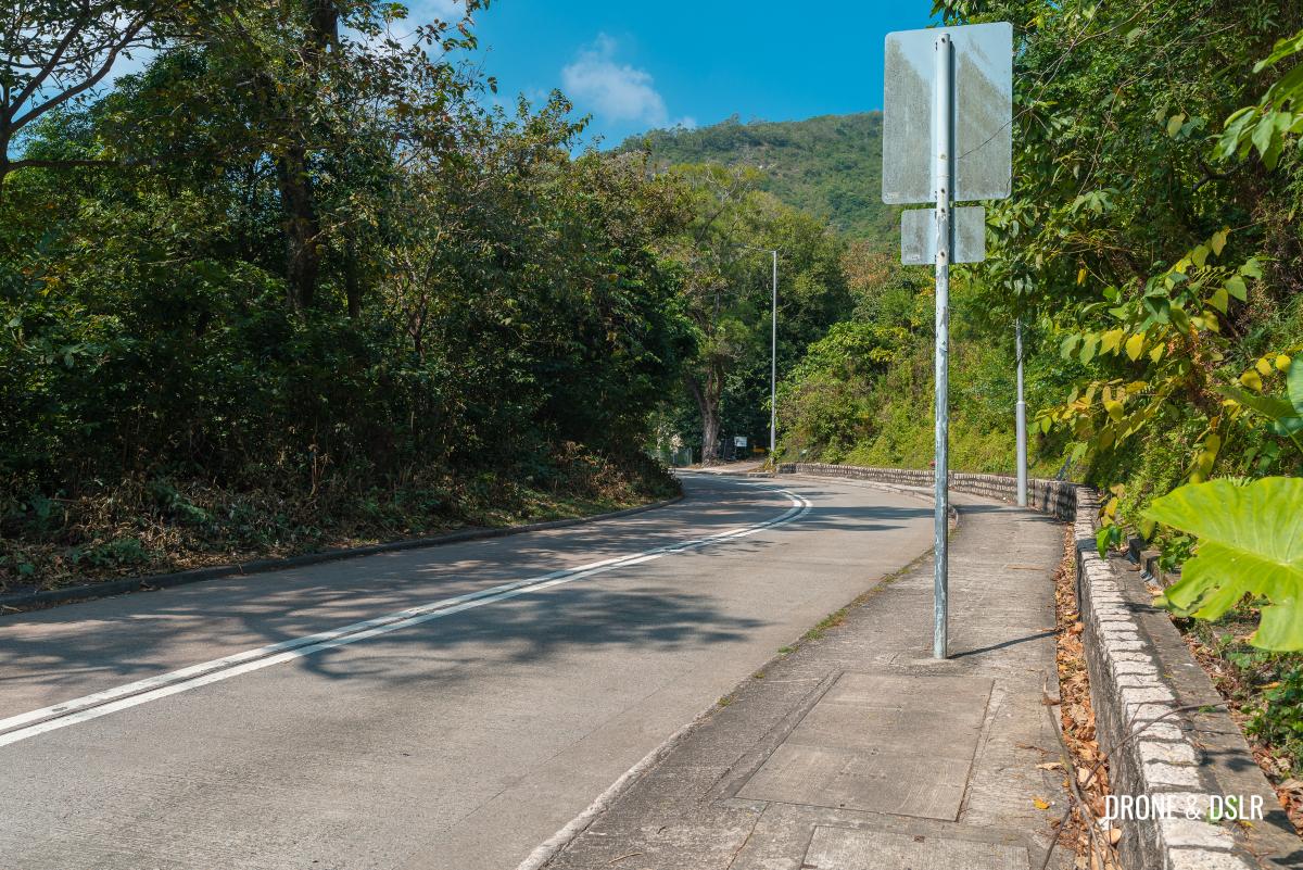
Towards the start of the climb
Once you alight at the Lo Uk Tsuen bus stop, you’re already on Lantau Trail Section 11. This section of the Lantau Trail starts on South Lantau Road before moving towards the hills.

Start walking away from Pui O on South Lantau Road
To begin the hike, walk on South Lantau Road, away from Pui O village. Walk on the right side of the road as there is no pedestrian side walk on the left side.
Keep walking on South Lantau Road
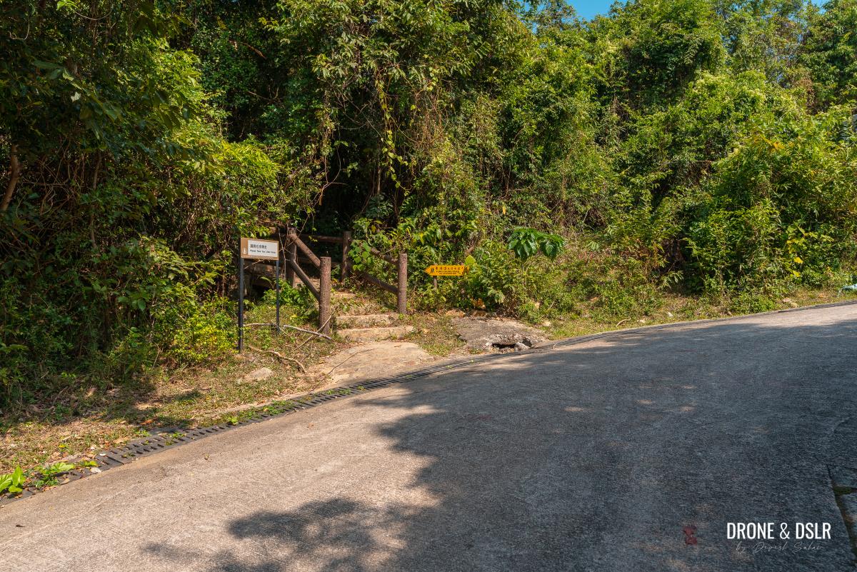
Continue walking on South Lantau Road for about 280 metres till a small right turn. The turn is marked by a sign for Tung Chung Road via Catchwater.
-

- Turn right onto this road

-
- Follow the sign for Tung Chung Road via Catchwater

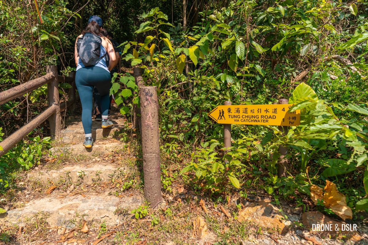
Turn right and walk up the incline. Just before the road curves right, there is a trail heading into the woods with another sign for Tung Chung Road.
Take the steps going into the woods
Follow the sign and enter the trail. This marks the start of the uphill section of the hike.
Follow the signs to stay on the trail
To the catchwater
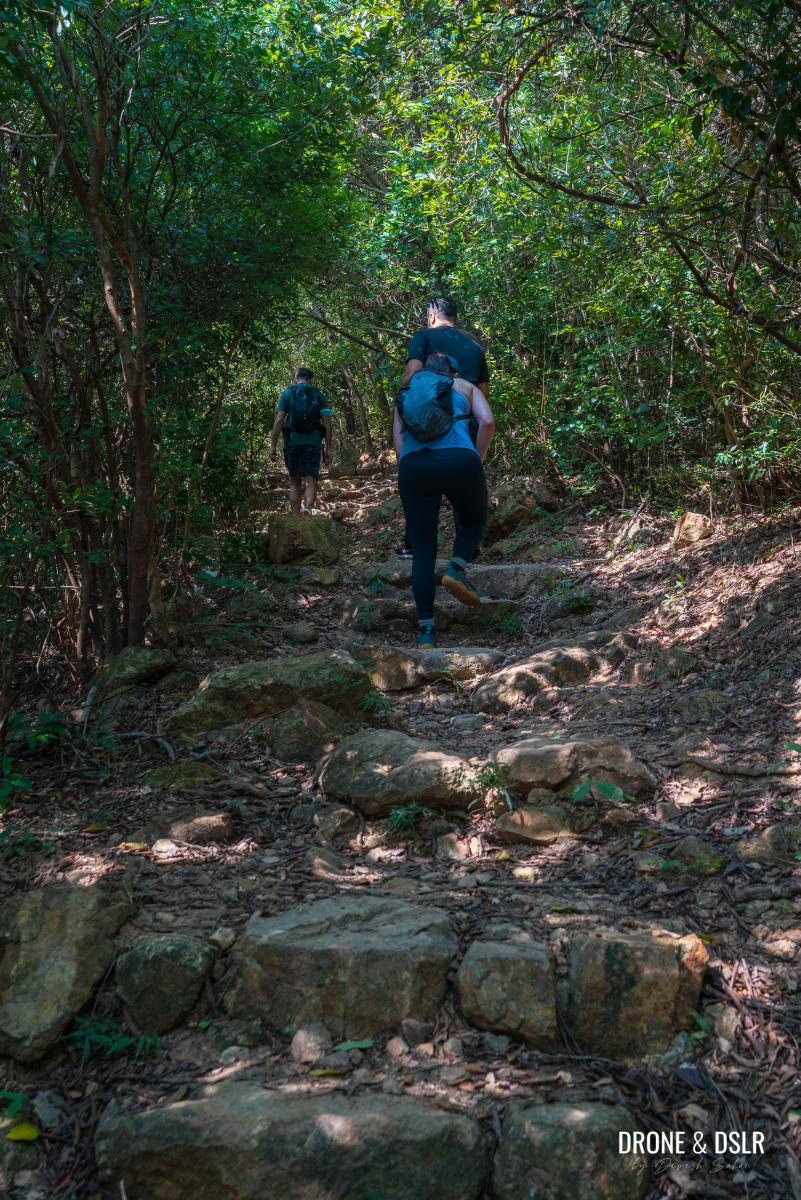
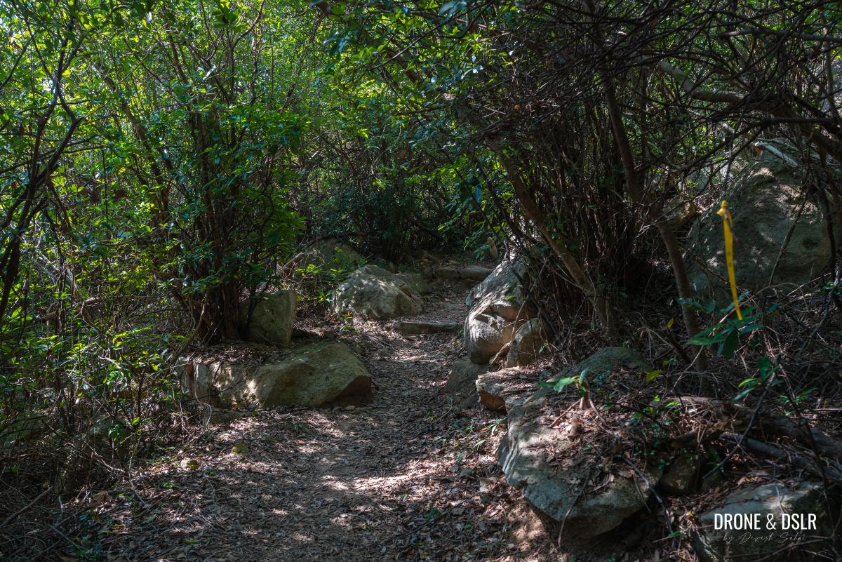
The next 1 km is the most challenging section of the hike. And fortunately, it’s the only uphill section of the entire hike and is shaded all the way.
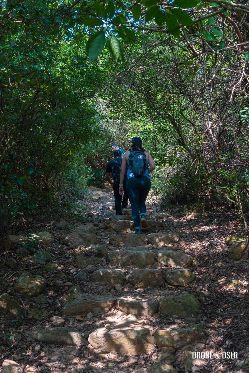
And the climb begins
By the end of the climb, the trail gains approximately 125 metres in altitude. It starts off gradually with a few easy steps that are spaced far apart.
-
- The initial section is quite gentle

-
- The gradual climb with widely spaced steps
At the end of the steps, the trail runs on flat terrain for a short distance before approaching the next flight of steps.
-
- The flat trail is a welcome change after the steps

-
- Keep walking on Lantau Trail Section 11

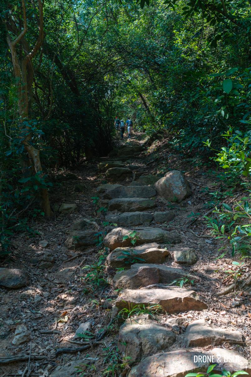
I know I said that this is a very easy hike but try not to panic when you see the next flight of steps, which is much steeper!
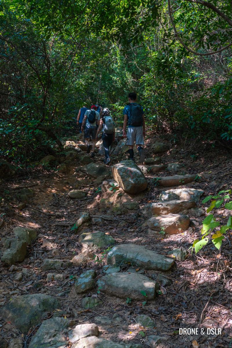
Here comes the next climb
Walk up carefully as the boulders aren’t particularly step-friendly and are very narrow.
-
- The steps are steep and narrow
-
- Probably the toughest section of the hike

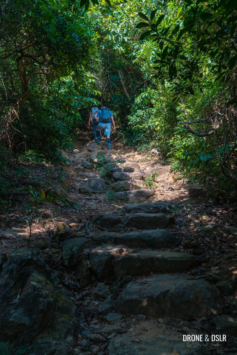
Keep climbing as the steps gradually become less intense before the next flat section.
-
- Thankfully the whole section of the climb is shaded
-
- More steps to climb
Catch your breath as you walk on a flat trail because there is one more flight of steps to be conquered!
-
- The flat terrain after the second flight of steps

-
- More easy walking before the next flight of steps

-
- making our way up to the Catchwater on Lantau Trail Section 11

-
- Almost at the end of the climb

Fortunately, this is the final flight of steps on this section (and the entire hike) and it’s a shorter climb compared to the previous one.

The final flight of steps
At the end of the steps (at the L120 marker), turn left and continue walking on Lantau Trail.

At the end of the steps, turn left and follow the trail
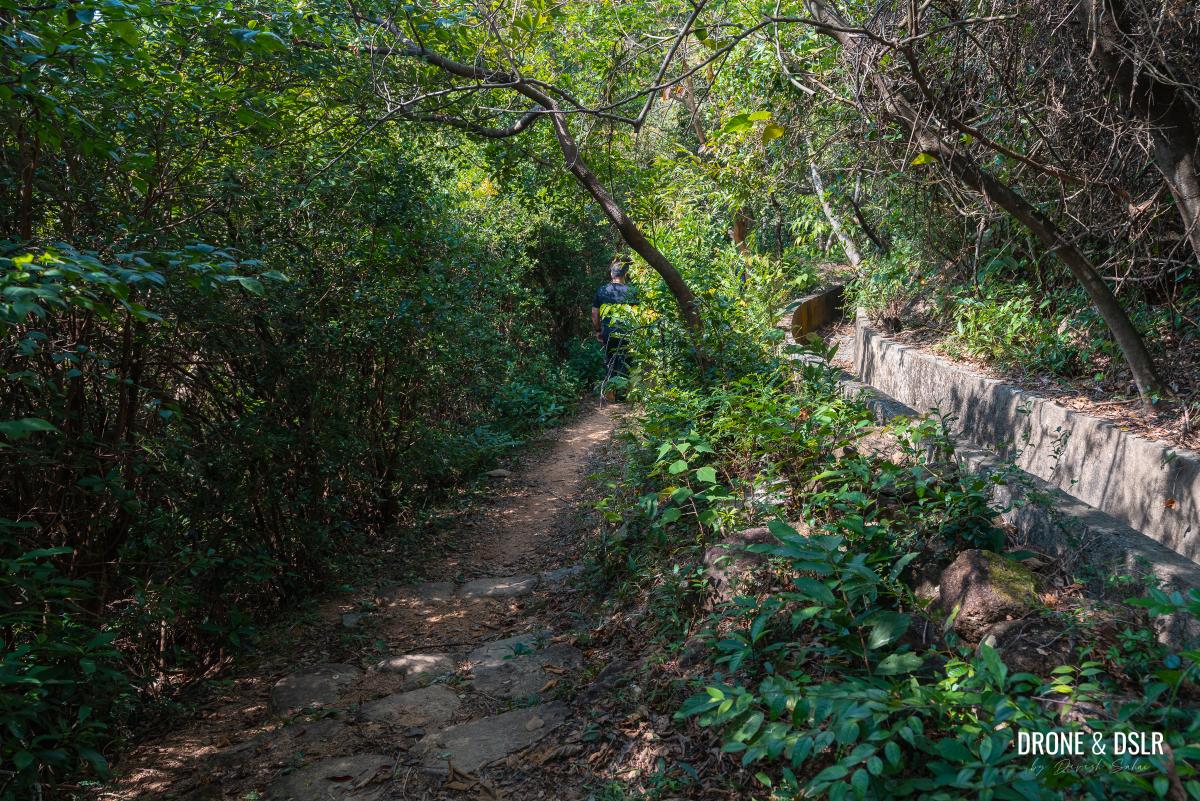
This is the final stretch of this section and there is no more climbing.
-
- No more climbing from this point on
-
- Slowly making our way to Cheung Sha Beach
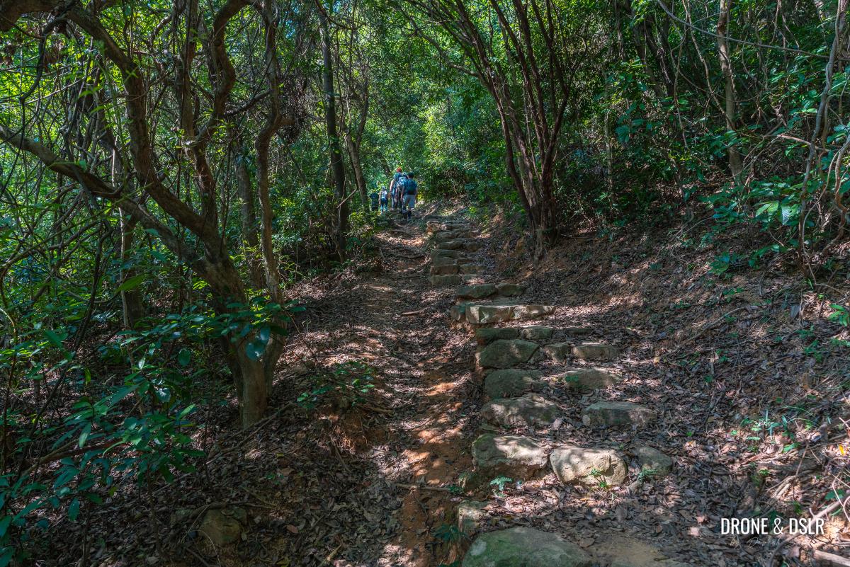
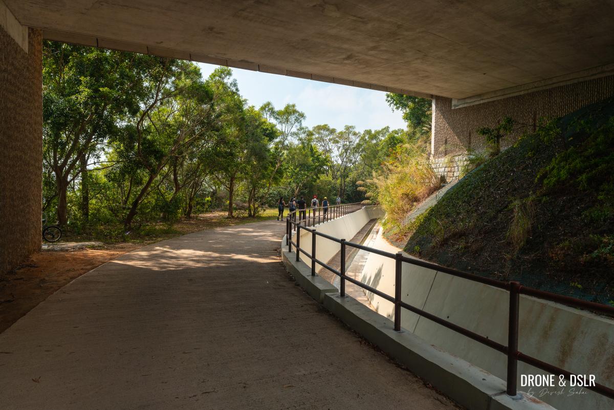
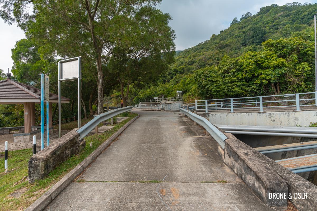
Continue walking on Lantau Trail, as it twists and turns till it reaches a small bridge over a catchwater drain.
We finally reached the catchwater
Cross the bridge and follow the path to the left. Keep walking on the trail as it continues alongside the catchwater drain and emerges from the woods onto another, longer bridge.
-
- After the bridge, take the path on the left

-
- Continue following the trail
-
- The trail returns alongside the catchwater
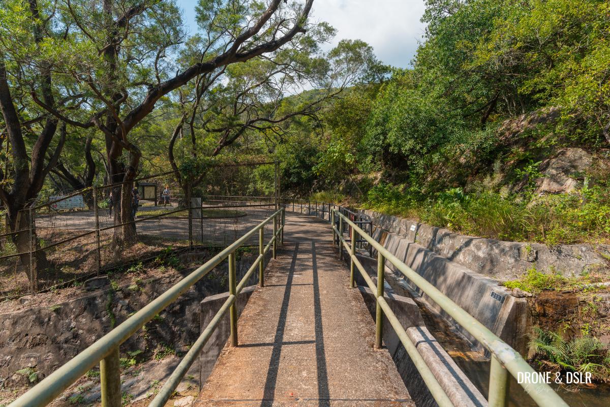
Cross the bridge onto the paved road.
-
- And we’re almost out of the woods

-
- Follow the sign for Tung Chung Road

-
- Cross this bridge to enter the paved part of Lantau Trail Section 11
To Tsing Lung Stream
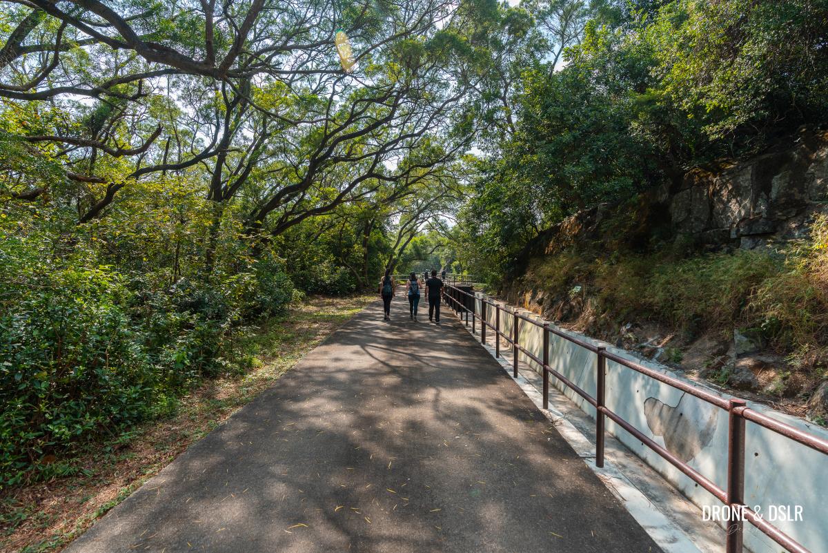
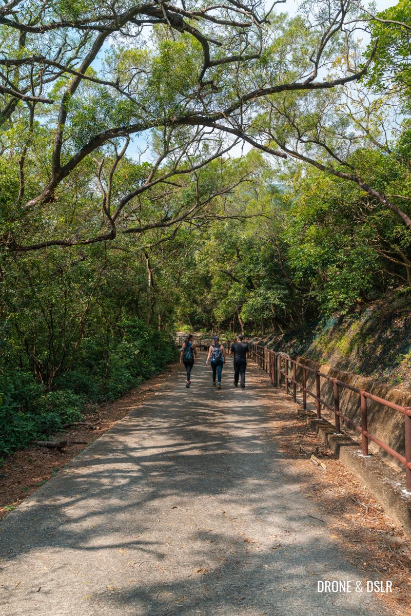
As you stand on the paved road, with a picnic garden on one side and the catchwater on the other side, take a moment to appreciate this beautiful area. And to also remind yourself that it’s an easy walk from here on out. No more climbing!
-
- Let the easy walk begin!
-
- View of the sea from the paved section
Not only is the trail easy but also very scenic and tranquil.

Walk past the first picnic area
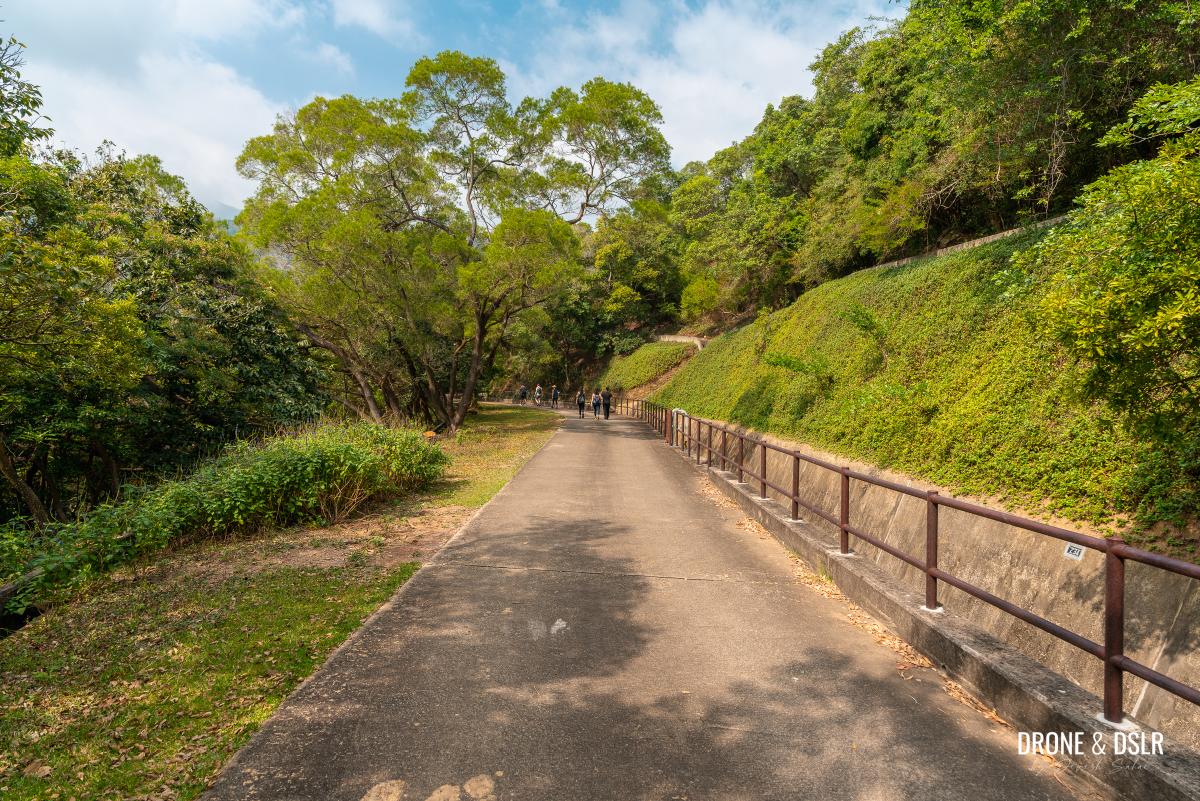
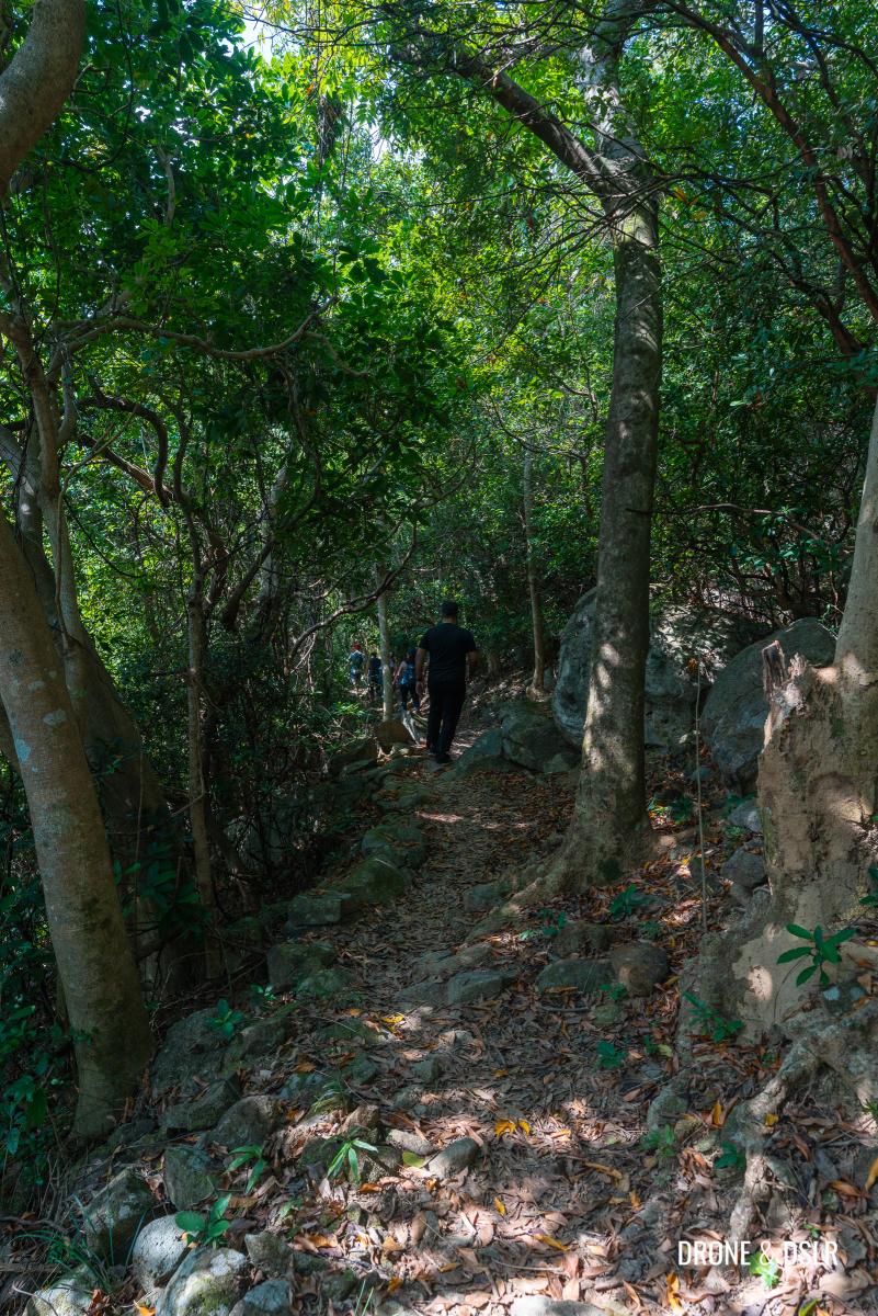
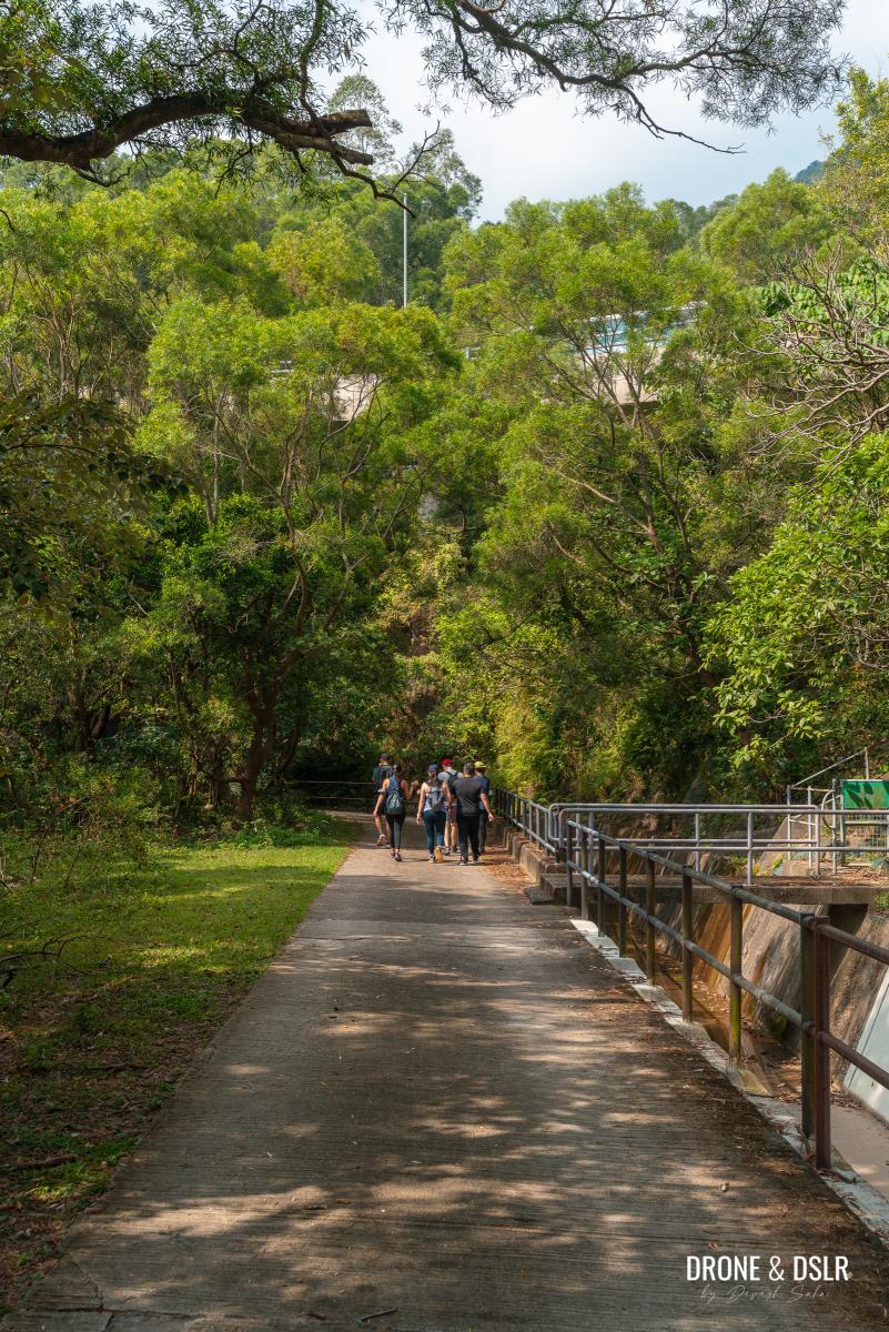
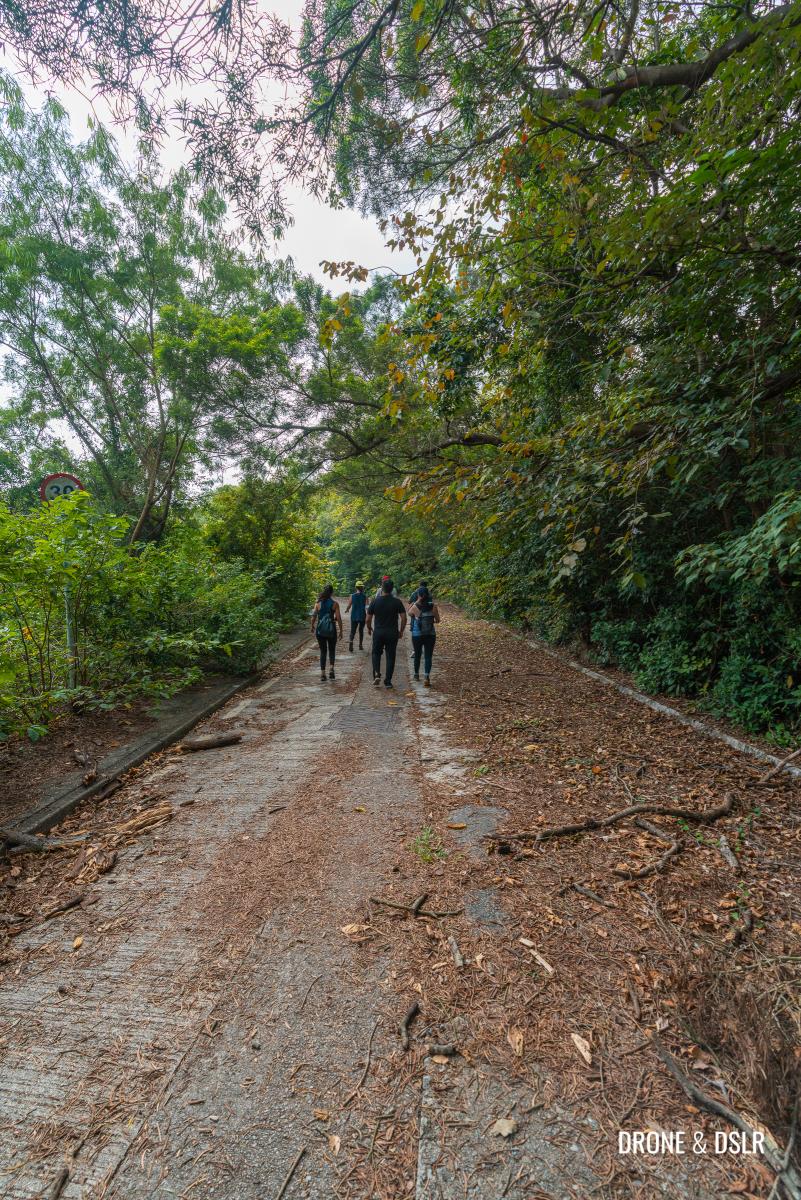
Continue walking on Lantau Trail Section 11 alongside the catchwater. The trail twists and turns along the contours of the hill, sometimes revealing views of the South China Sea and the hills above.
-
- What a lush and fun walk

-
- Sunset Peak in the distance

Keep walking for about 450 metres to the next bridge.

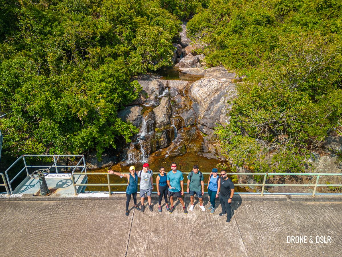
The bridge over the Tsing Lung Stream
This bridge is built over the Tsing Lung Stream, which flows from one of the reservoirs next to stone cabins on Sunset Peak.
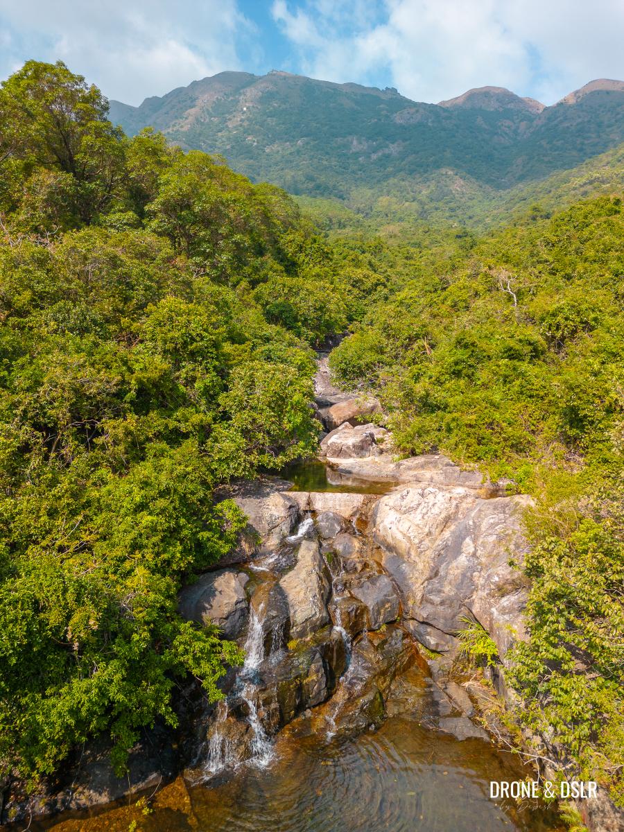
The small waterfall on Tsing Lung Stream with Sunset Peak in the background
On one side you can admire Sunset Peak and on the other, the sea.

View of the sea and Chi Ma Wan Peninsula on the other side
To Tung Chung Road
The next section of the hike continues on the same paved path of Lantau Trail Section 11. Just after the Tsing Lung Stream, there’s another picturesque picnic and seating area.
-
- Continue walking on the picturesque Lantau Trail Section 11

-
- The hike is quite enjoyable

The trail continues to meander at the base of Sunset Peak. The peak isn’t always visible thanks to the canopy of trees covering the path.
-
- The trail runs alongside the catchwater

-
- The trail along the catchwater

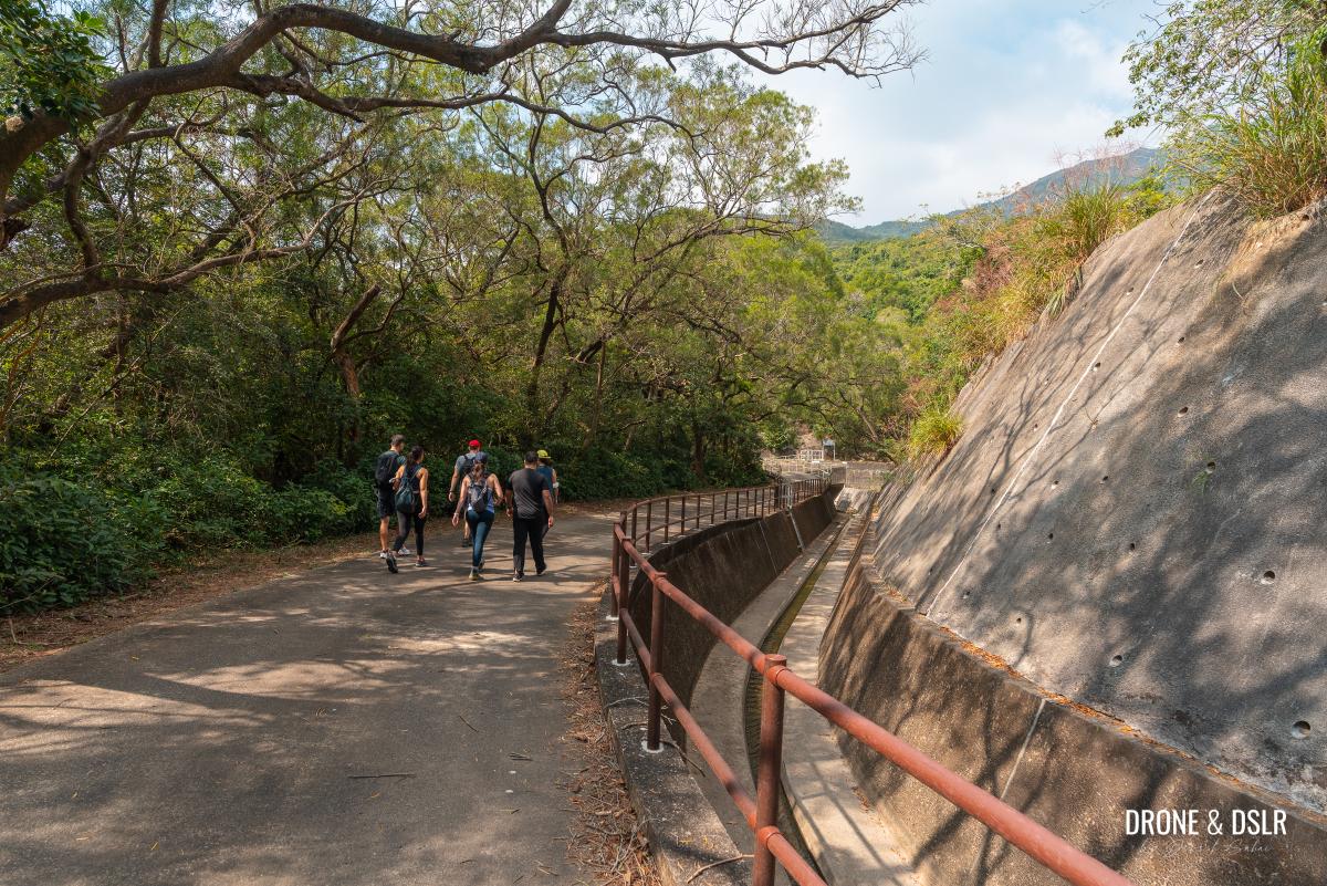
The flat and easy trail was perfect for our group as it gave everyone a chance to walk and talk on this scenic path.
This section of the hike is quite scenic
There aren’t too many views along this section of the hike other than a few glimpses of Sunset Peak.
Glimpses of the hills on Lantau Island
And after another 1 km of walking, you’ll arrive at Tung Chung Road, which connects South Lantau with Tung Chung.

Where the trail goes under Tung Chung Road
It is possible to climb up the steps to the bus stop on Tung Chung Road from the trail. But to continue towards Chueng Sha Beach, walk under Tung Chung Road.
Walk under the road
To the end of Lantau Trail Section 11
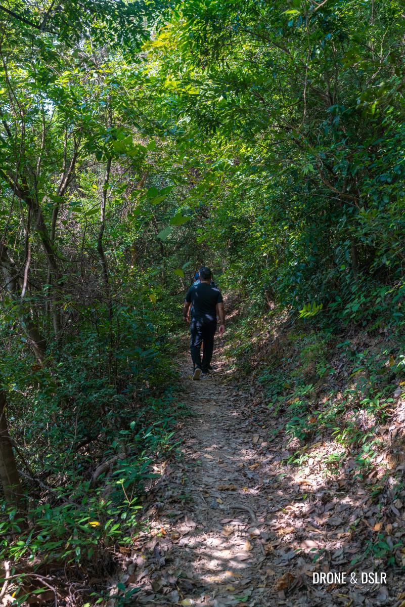
The next 1.5 km of the hike is a repeat of what you’ve already covered.
Wave to the buses on Tung Chung Road above
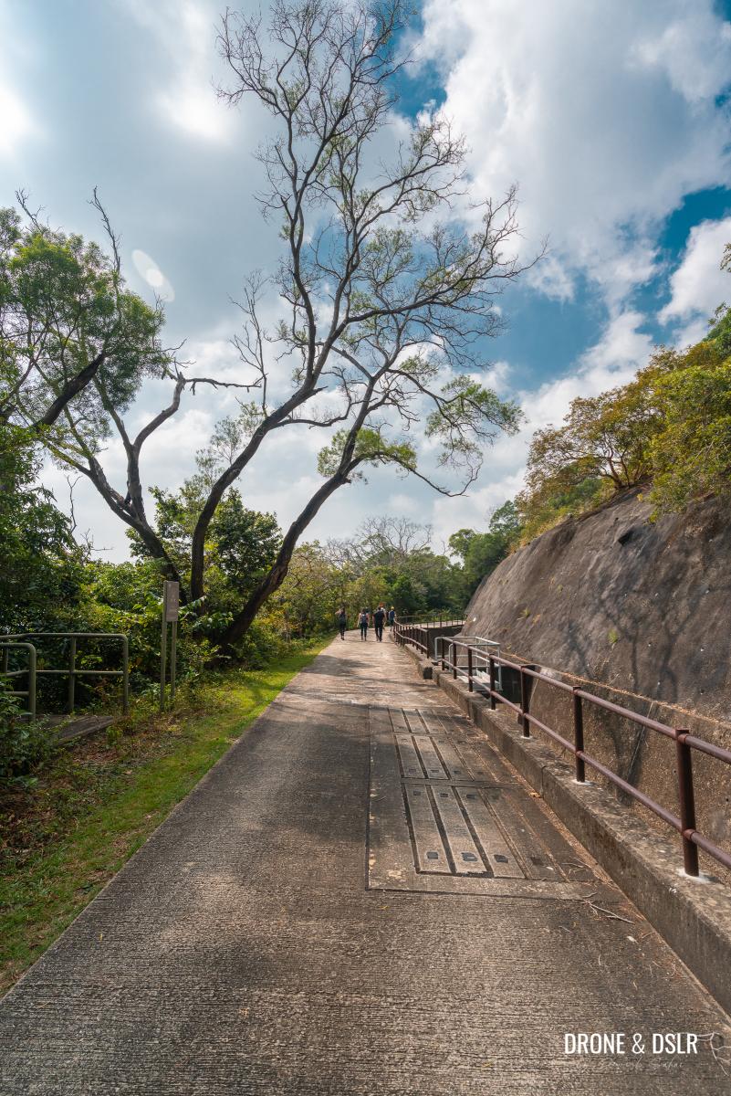
The paved trail continues to meander at the base of Lantau Peak now after having crossed Tung Chung Gap.

The trail continues along the catchwater
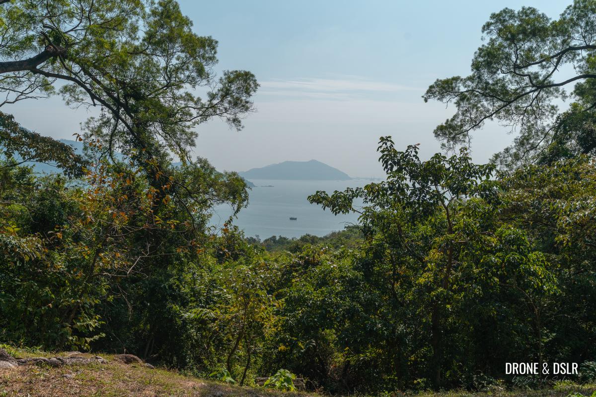
At this point, you’re also directly above Cheung Sha Beach. Unfortunately, no path from here directly connects with the beach below.

A lovely patch of green along the trail
However, as you continue walking on the trail, the vegetation thins. And from certain sections of the trail, you can see Cheung Sha Beach below.
-
- The trail begins to lose shade
-
- Without the tree cover, it can become a little toasty

But even with fewer trees, the trail remains scenic with flowers and grassy patches.
-
- Keep it at – this section of the hike feels a bit long

-
- Without the trees on the side, there are better views

After just over a kilometre of walking, the trail reaches the Cheung Sha Service Reservoir and Treatment Works. Continue walking straight and don’t take the path going downhill.
-
- I loved these beautiful, tall trees along the trail

-
- Keep going straight

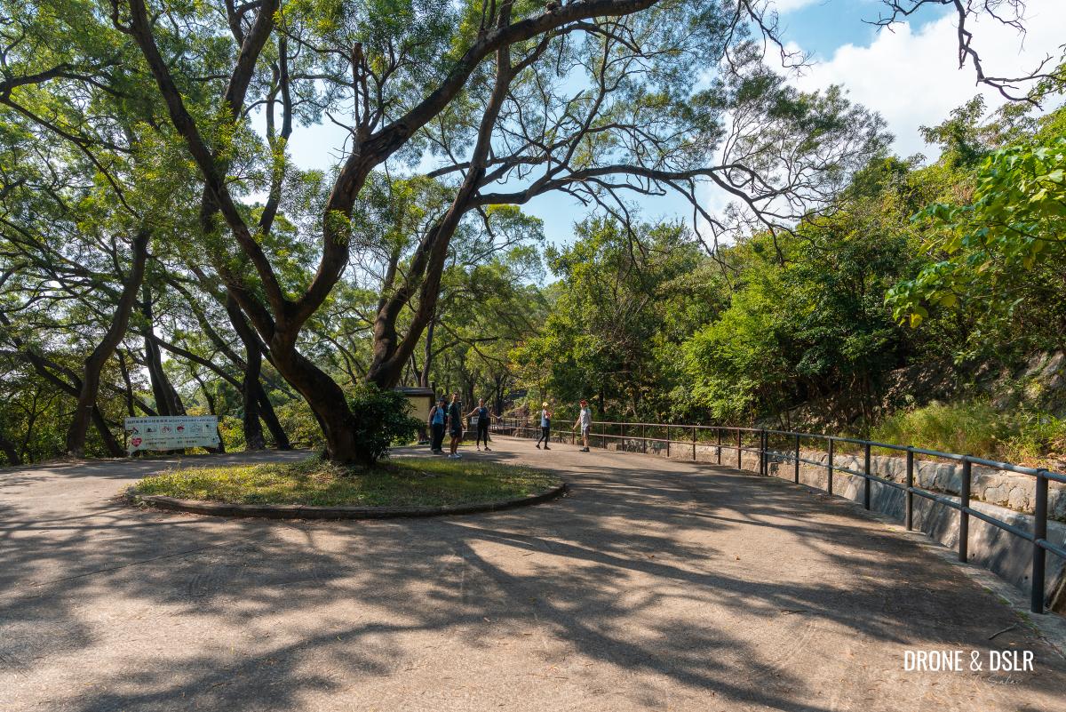
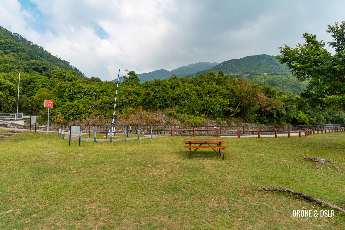
Just beyond that is a large park, with benches, tables, and a pavilion. The views of the South China Sea and the hills from this park are stunning!
-
- Kids playing at the park after the Cheung Sha Service Reservoir and Treatment Works

-
- This park is quite pretty and has amazing views!

Take a moment to enjoy the area and appreciate the views from here.
-
- Take a short break to appreciate the views from this park

-
- Taking a break at the park

-
- Appreciating the views at the back
-
- Gorgeous views of the South China Sea from up here

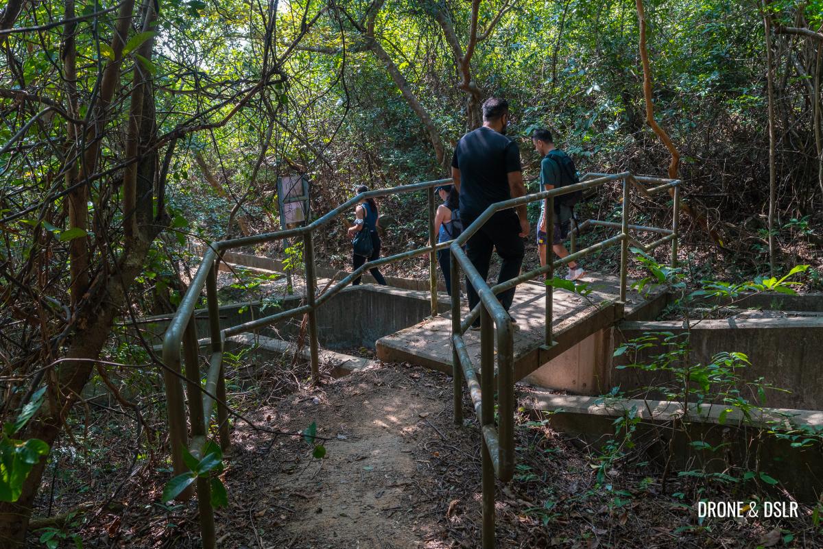
After that, walk past the pavilion and cross the bridge over the Fung Tai South Stream.
Continue walking on Lantau Trail Section 11
Just after the bridge, Lantau Trail Section 11 ends and splits into two. The path going straight is the start of Lantau Trail Section 10. But to reach Cheung Sha Beach, take the road going downhill to the left.

Turn left onto the road heading downhill at this point
To South Lantau Road
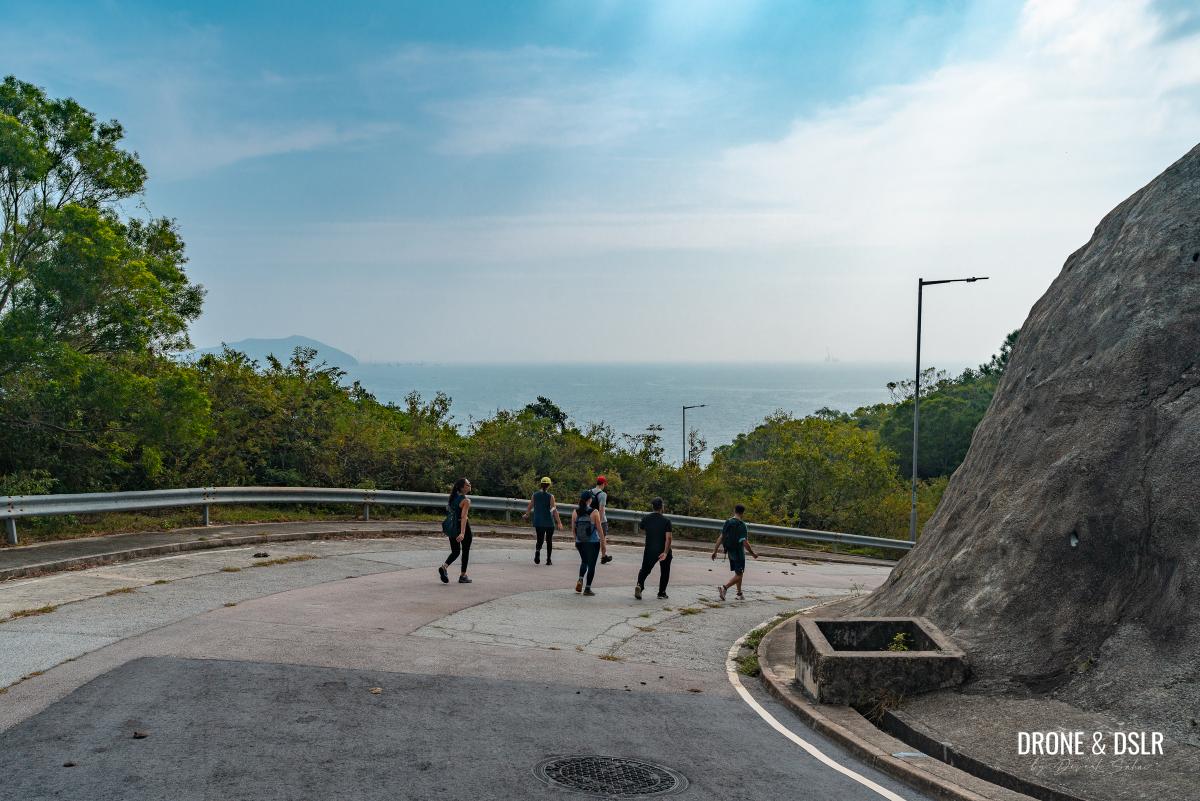
After a slightly challenging climb and easy walk on Lantau Trail Section 11, it’s time to return to South Lantau Road.
And the final descent to Cheung Sha Beach begins
This unnamed road connects South Lantau Road to Lantau Trail Sections 10 and 11. The road itself is quite steep, so exercise caution while descending.

Keep walking downhill
Along the downhill walk, you can also admire beautiful views of the South China Sea, Chi Ma Wan Peninsula, and Cheung Sha Beach below.
-
- Gorgeous views of South China Sea
-
- Views of Chi Ma Wan Peninsula and Cheung Sha Village

Closer to the bottom, the views of the sea are swapped for views of the villas of Botanica Bay and Butterfly Crest.

Beautiful villas of Botanica Bay
And just around the next bend, this unnamed road merges with South Lantau Road.
And we’re back on South Lantau Road
To Upper Cheung Sha Beach
To continue towards Cheung Sha Beach, turn left onto South Lantau Road.
-
- Turn left onto South Lantau Road

-
- Keep walking on South Lantau Road
Keep walking for about 250 metres, past Cheung Fu Street and all the beautiful villas till you reach the Butterfly Crest bus stop.
-
- Walk past Cheung Fu Street and its villas
-
- Go past the Butterfly Crest bus stop

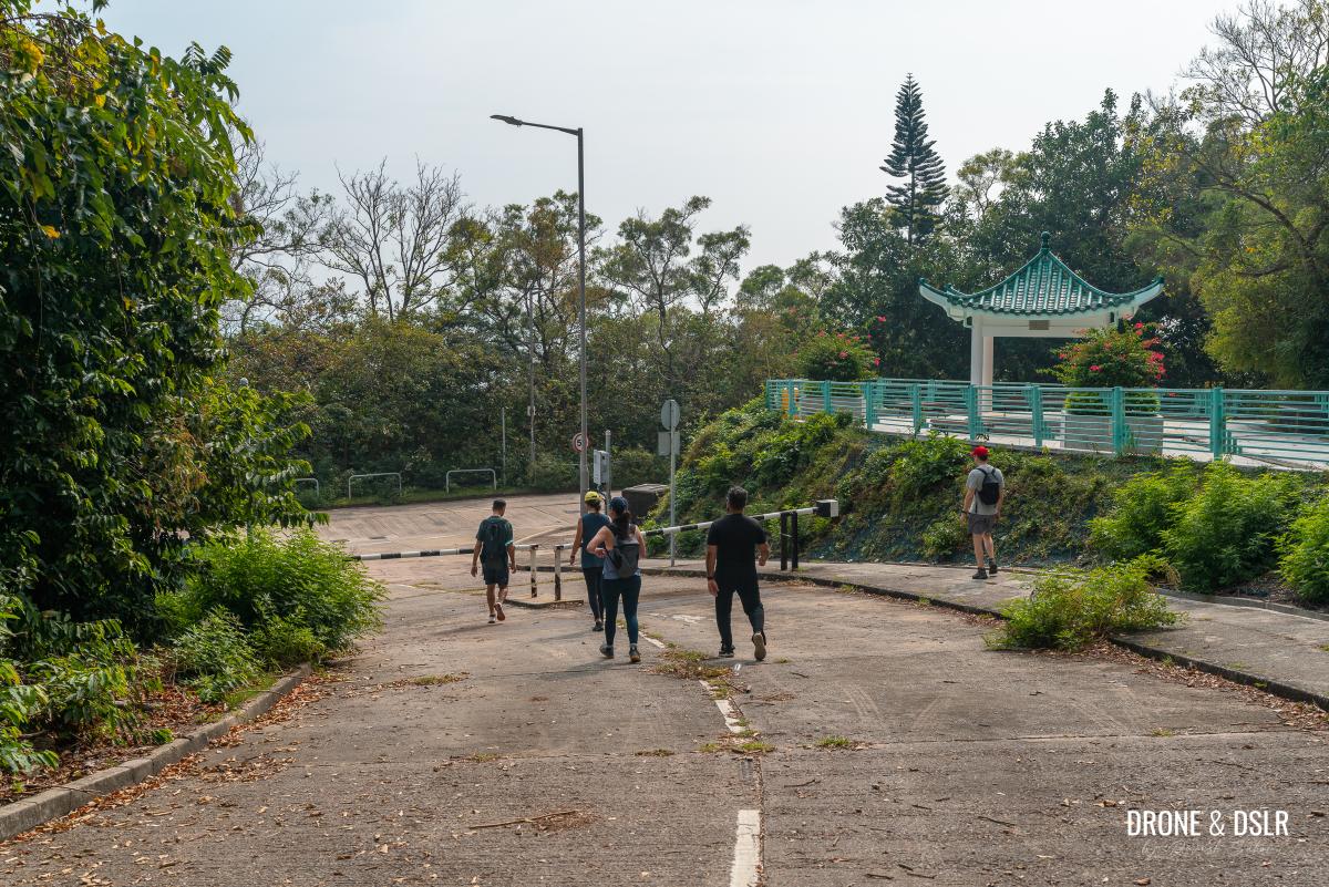
After the bus stop, walk for another 80 metres till you see a downhill path on the opposite side of the road.

Cross the road and take the small path on the opposite side
Cross the road carefully, as there is no pedestrian crossing, and walk down the narrow path.
The final path to Cheung Sha Beach
At the end of the path is Welcome Beach, a caravan camping site on Cheung Sha Beach.

Walk around Welcome Beach on Cheung Sha Beach
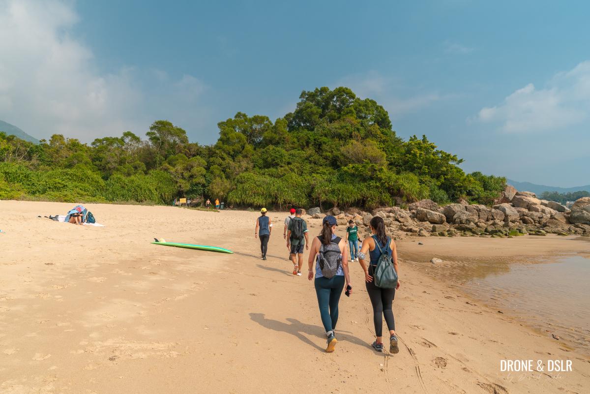
Walk around the Welcome Beach premises to arrive at Cheung Sha Beach!
-
- And we’re finally here at Cheung Sha Beach!

-
- The soft sand of Cheung Sha Beach
Finish the hike
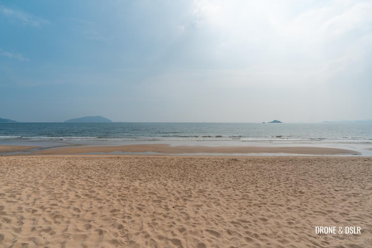
Cheung Sha Beach is the longest beach in Hong Kong, and it is divided into two, unequal parts – Upper Cheung Sha Beach and Lower Cheung Sha Beach.
Currently, you’re on Upper Cheung Sha Beach, the longer and quieter side.

That’s Upper Cheung Sha Beach
Lower Cheung Sha Beach is where all the restaurants, cafés, and activities are located.
To reach Lower Cheung Sha Beach, turn left towards the headland, that divides the two beaches.
-
- Turn left towards Lower Cheung Sha Beach

-
- There’s a path behind the headland to Lower Cheung Sha Beach
There is a path at the back of the headland that connects the Upper and Lower Cheung Sha Beaches.

There’s a pavilion on the right if you’re interested
Once on the other side, take your pick of the restaurants. If you’re not sure, we have a few suggestions for restaurants on Lower Cheung Sha Beach.

And we finally arrive at Lower Cheung Sha Beach
Pui O to Cheung Sha on Lantau Trail Section 11
We hope you found our guide to the Pui O to Cheung Sha Beach Hike resourceful. At the end, it turned out to be a perfect hike for our group of friends with an awesome beer and pizza lunch on the beach!

Finishing our hike with some beer and pizza and Lantana
Of course, there are plenty of hikes to pick from on Lantau Island. The two most famous ones are the Lantau Peak Hike and the Sunset Peak Hike.
But if you like to finish your hike on a beach, I highly recommend the Mui Wo to Pui O Hike via Lantau Trail Section 12.
As always, please feel free to share this post on the social media channel of your choice and drop us a comment below.
If you enjoy our work, come join us on Instagram and YouTube 🙂


You might also like


2 Comments
An adorable little hike that I really needed after a ‘hiking hiatus’ due to crazy work commitments!
As always, your directions were spot on! 😊
Thank you very much! And I like the way you described it as an adorable little hike. So true 🙂