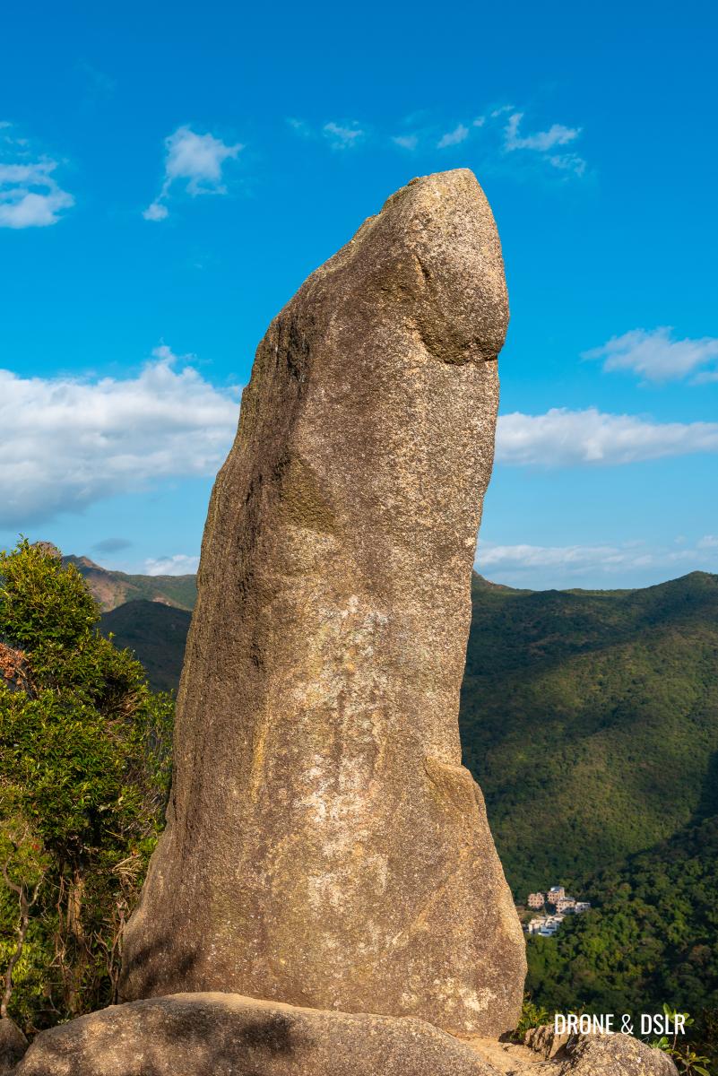
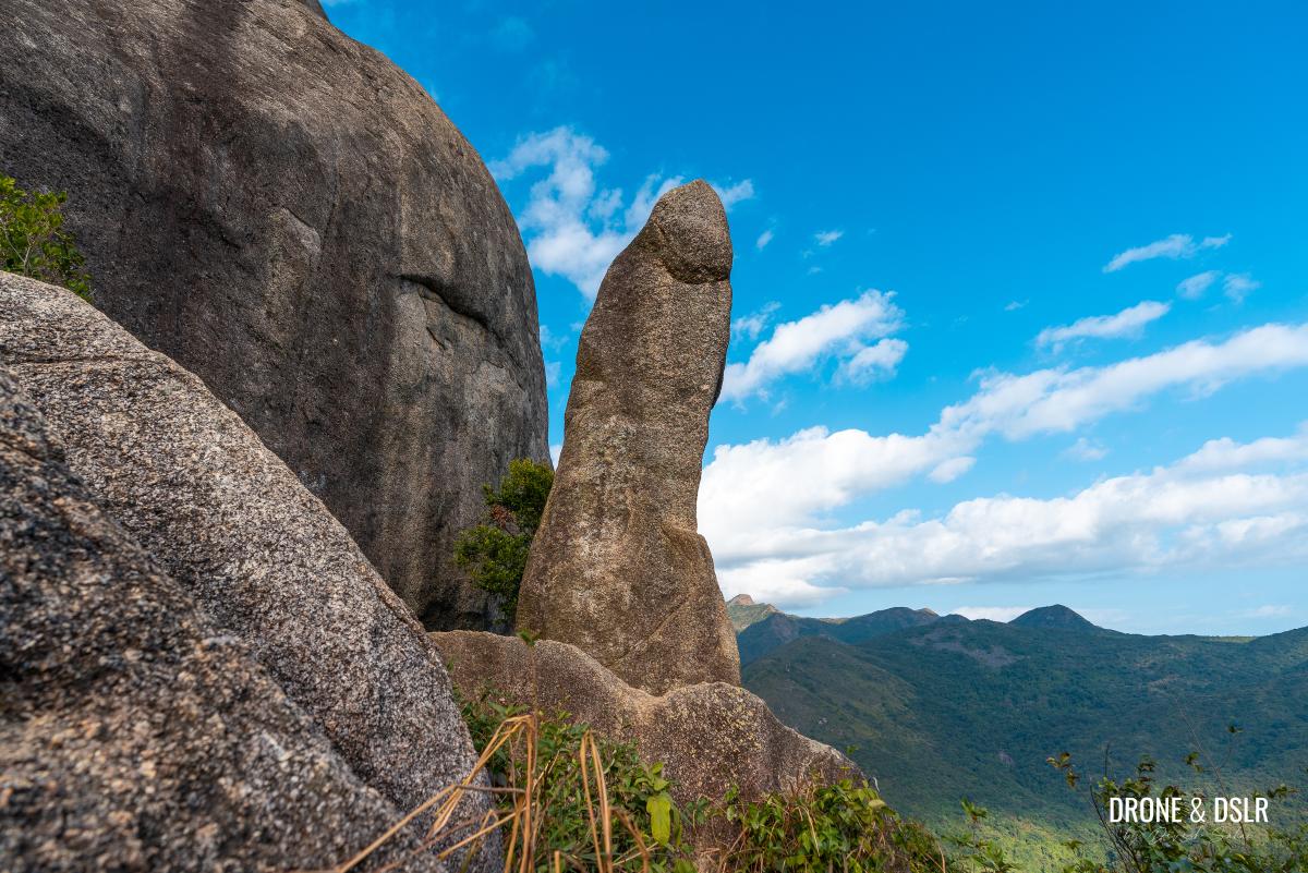
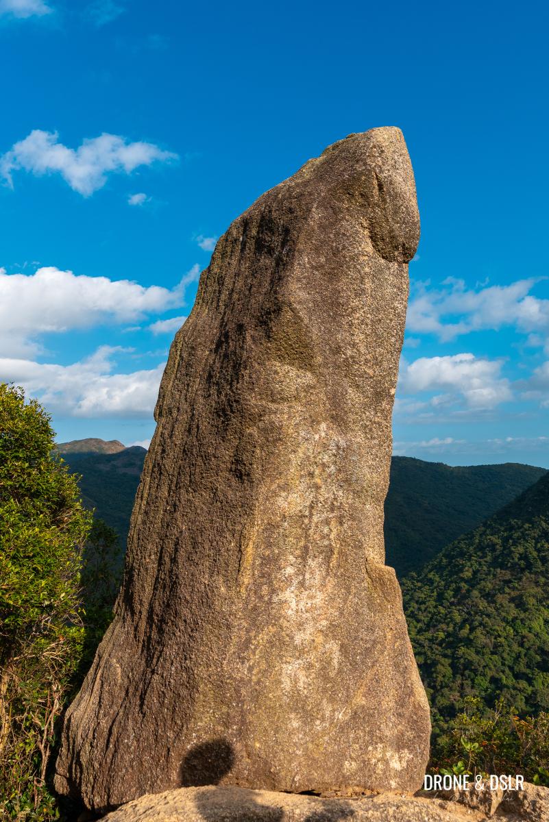
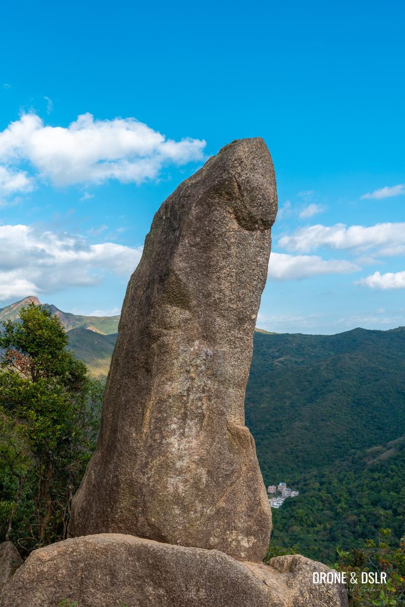
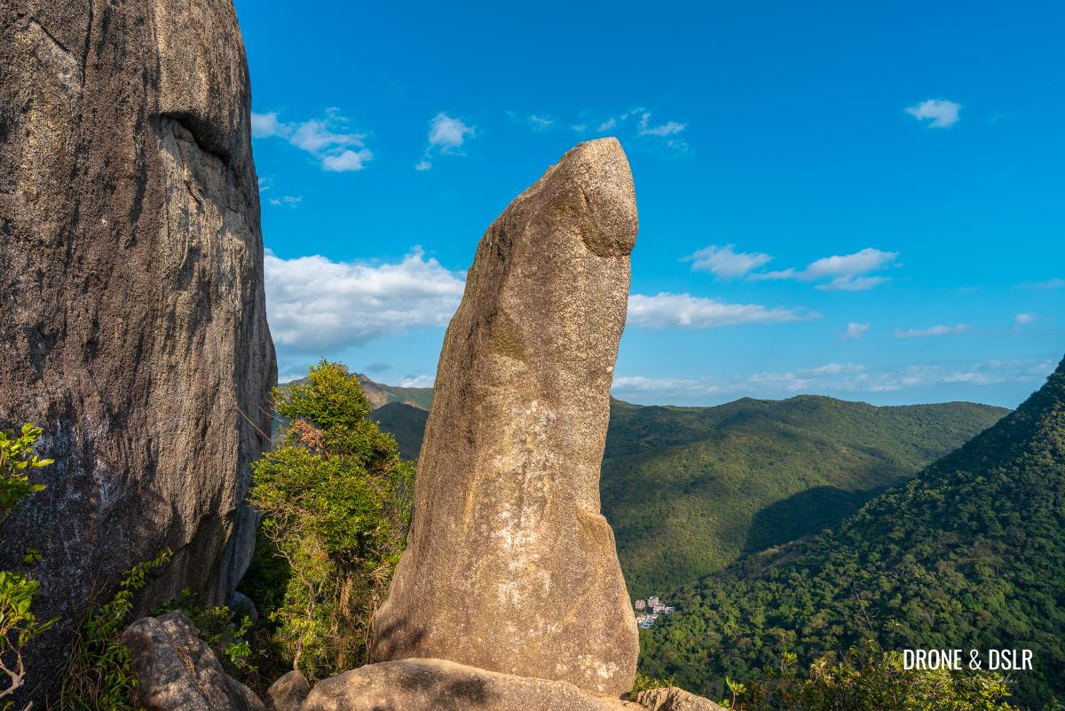
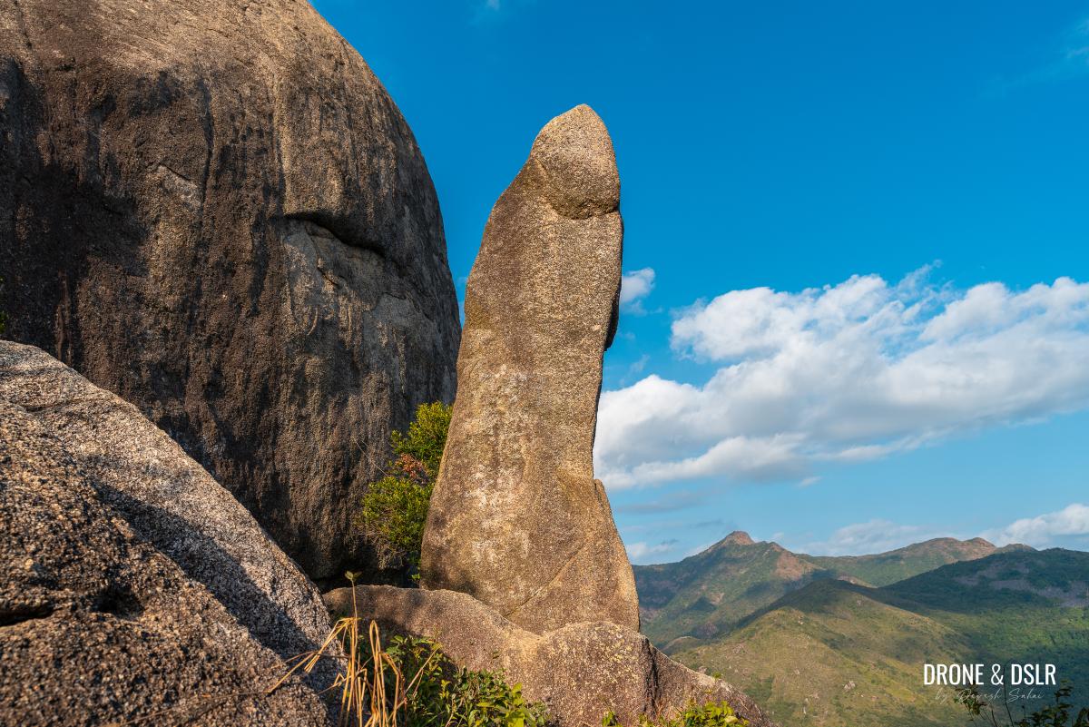
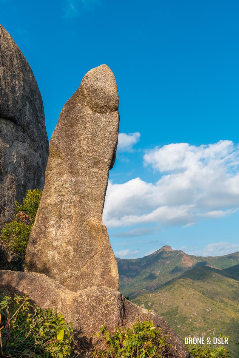
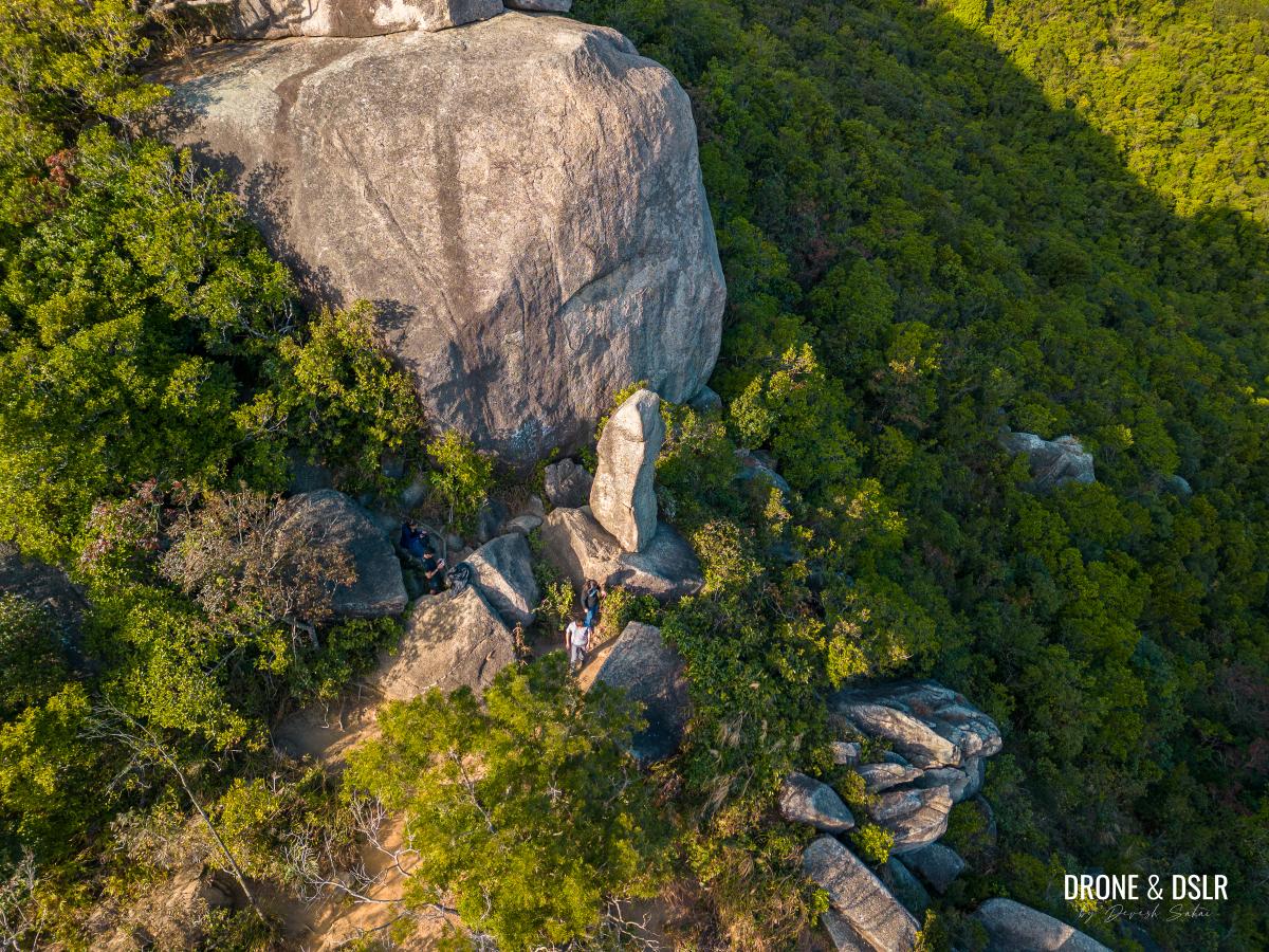
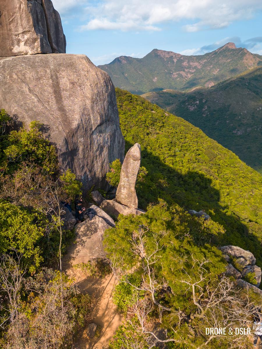
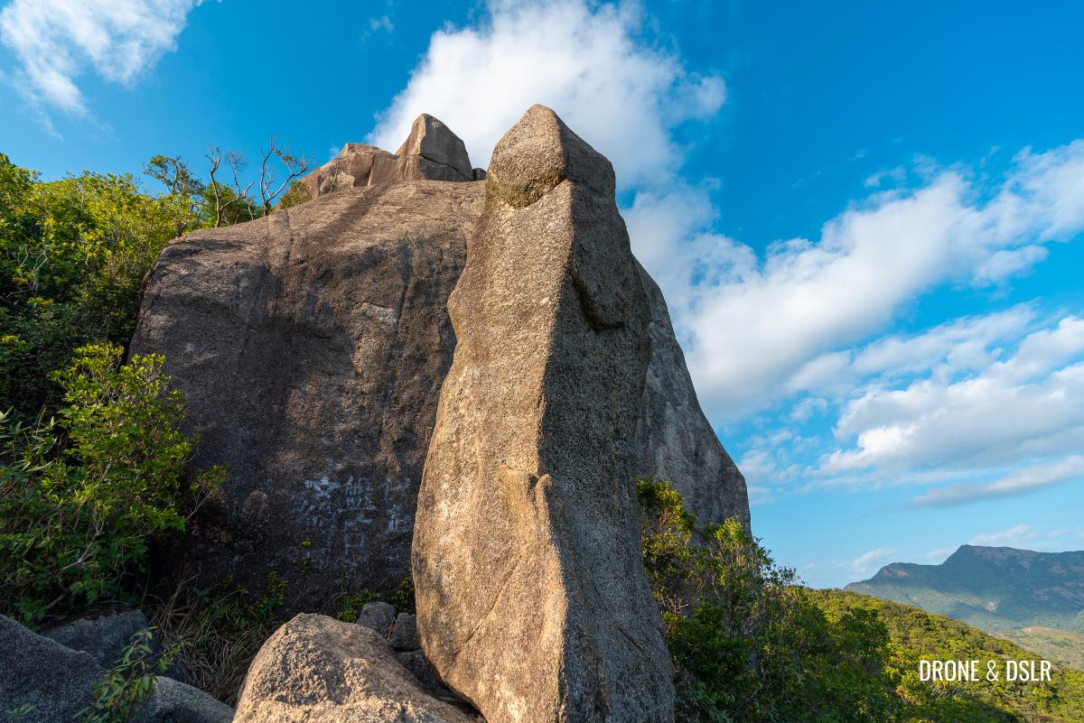
The hike to the Penis Rock on Nui Po Shan is perhaps the most NSFW hike in Hong Kong! As the name implies, the Penis Rock is a perfectly-shaped phallic rock rising from the outcrop on the southeast face of Nui Po Shan (Turret Hill) in Shatin.
Although there are a few other phallic shaped rocks in Hong Kong (there are two on Lamma Island and the Lover’s Rock in Wan Chai), the Penis Rock at Nui Po Shan is perhaps the most popular among them. Its shape and stature will make any man feel inadequate.
Lucky for you, unlike the Penis Rock, the hike to it isn’t too hard (sorry). Except for the final section, which is short but steep climb and may require you to use your hands (OK, I am done now).
The Nui Po Shan (Penis Rock) Hike
To reach the Penis Rock in Shatin, you don’t need to climb to the top of Nui Po Shan (399 metres). You can ascend the hill from its southeast face and reach the Penis Rock (320 metres) before the summit. However, if you want to climb to the top of Nui Po Shan, you surely can.
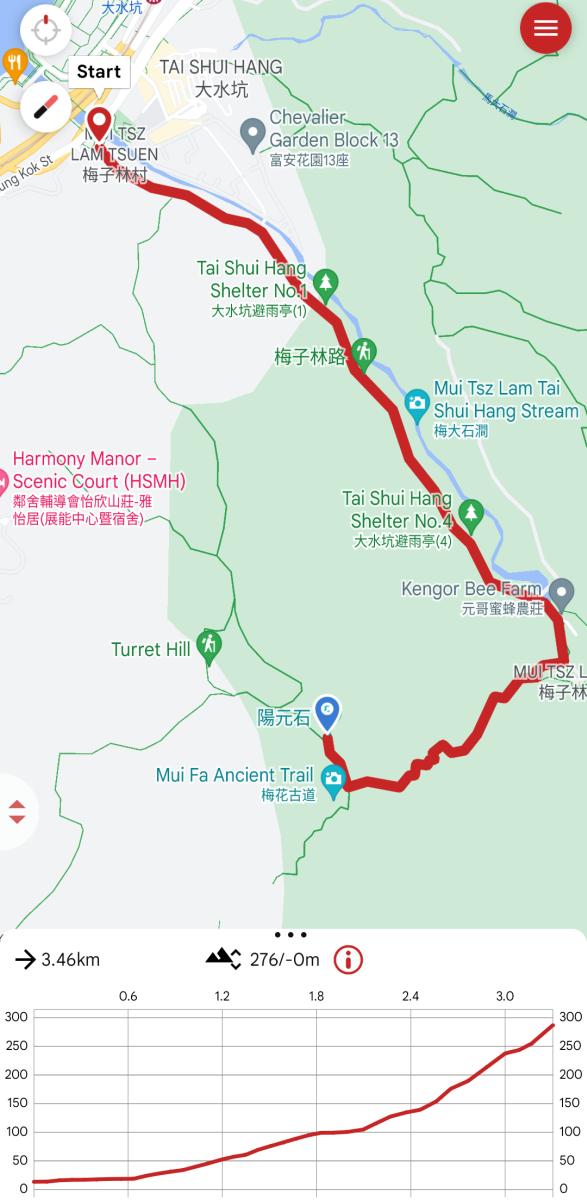
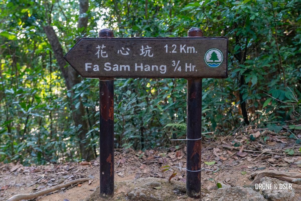
Although there are a couple of routes to reach the Penis Rock, the one that I will cover in this guide is via the Mui Tsz Lam Village. For many, this is an easier route to access the hike as it is close to an MTR station and bus routes. For reference, the popular route is via Fa Sam Hang Village, but there is no MTR station on that side
The Mui Tsz Lam Village route can be divided into three very distinct sections, each more challenging than what preceded it. So, let’s find out how to reach the Penis Rock.
Starting point
To hike to the Penis Rock on Nui Po Shan (Turret Hill) starts from Mui Tsz Lam Road.
If you’re coming via MTR, alight at the Tai Shui Hang station on the Tuen Ma Line and take Exit B towards Hang Tak Street. After that walk towards Chevalier Garden and take the slip road from A Kung Kok Street Garden to Mui Tsz Lam Road.
If you’re arriving by bus, there are many buses that stop at Chevalier Garden. Please use Google Maps to map the best route from your location.
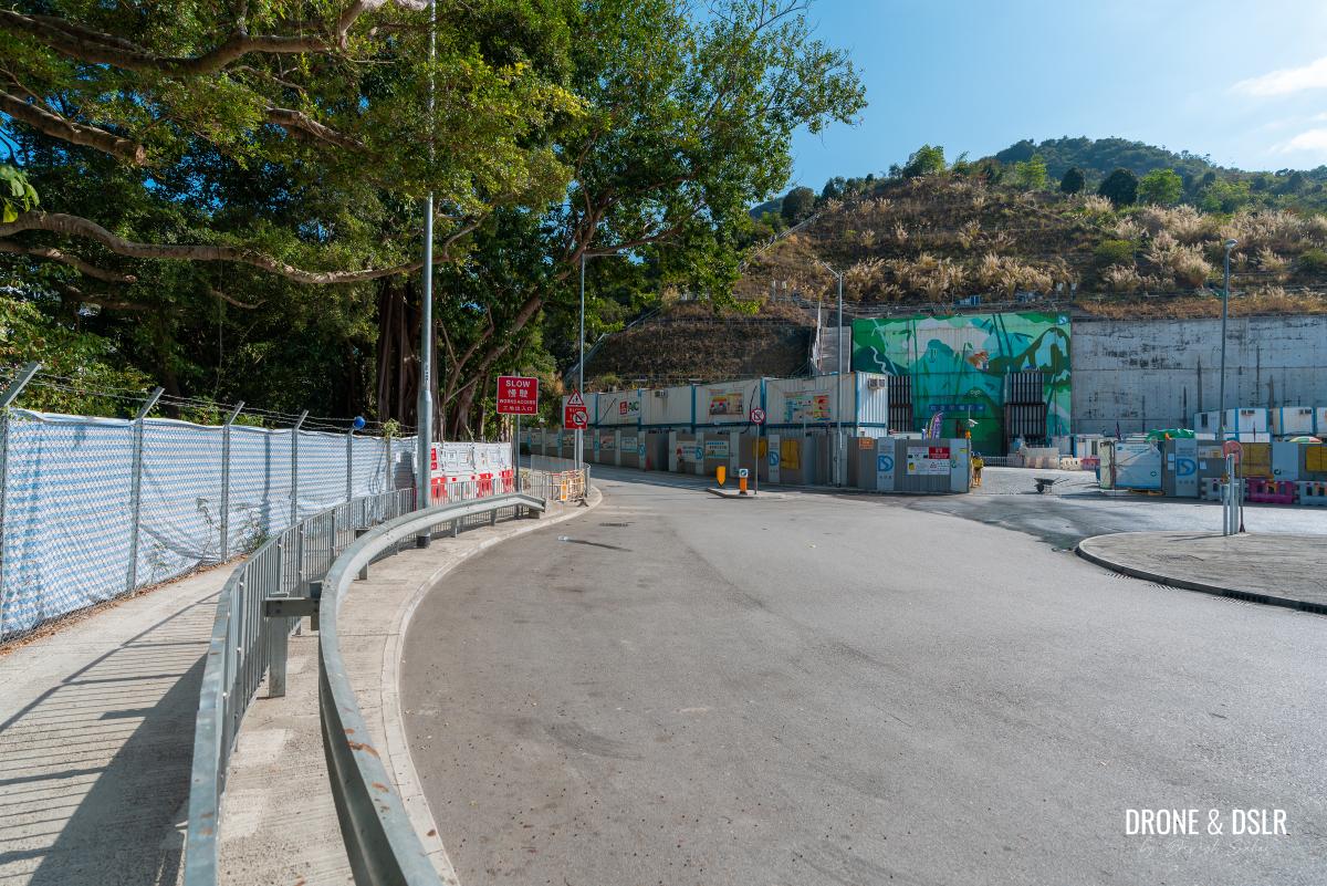
Once you arrive at the roundabout at the start of Mui Tsz Lam Road, get ready to begin the hike.
- The roundabout at the start of Mui Tsz Lam Road
- Let’s start walking to Mui Tsz Lam Village
Part 1: To Mui Tsz Lam Village
The first section of the Penis Rock Hike is the easiest. In fact, it’s a relatively easy walk to Mui Tsz Lam Village.
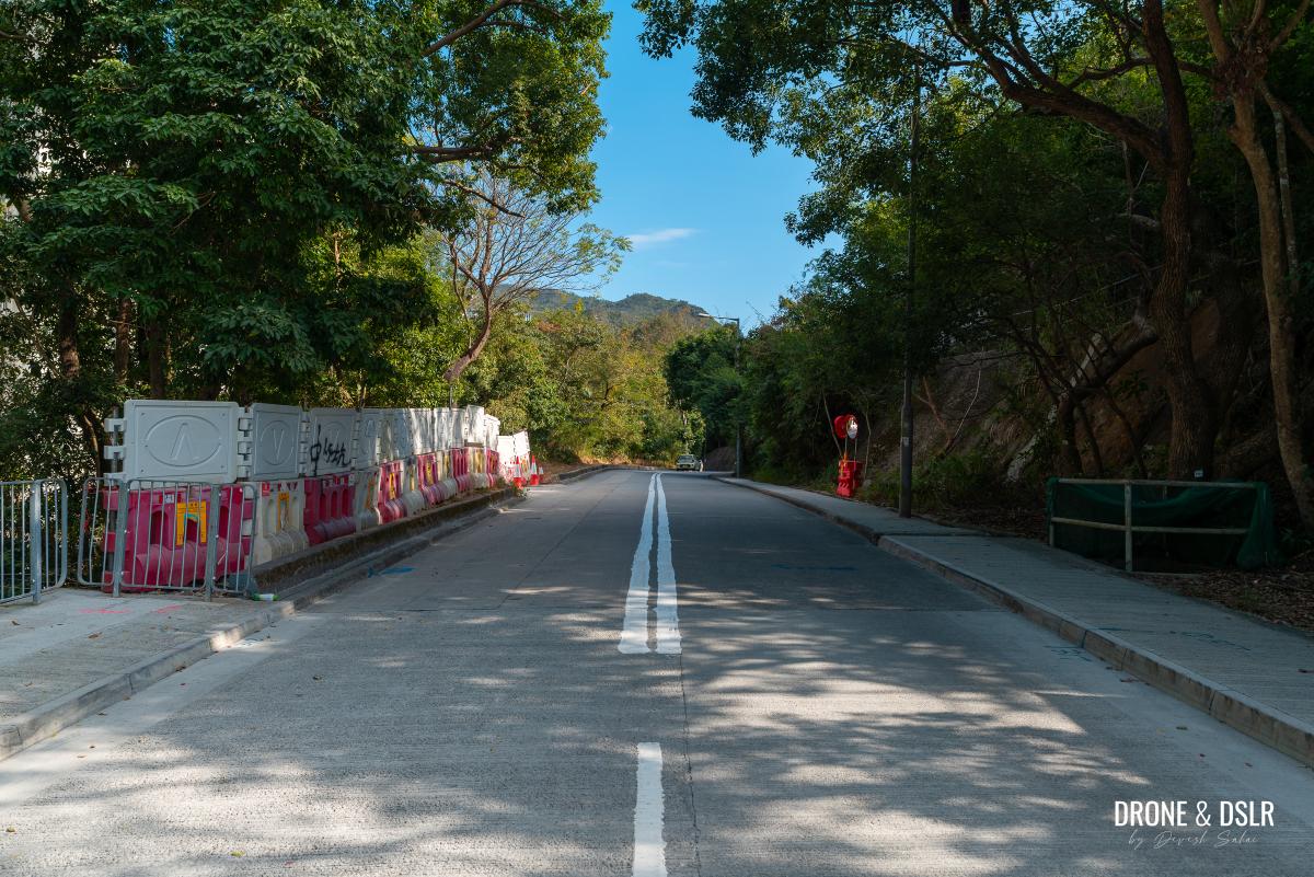
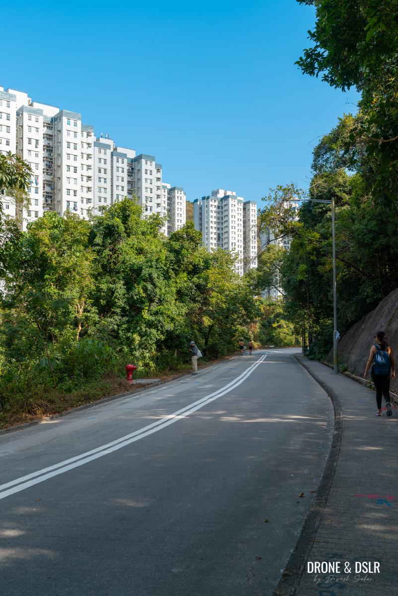
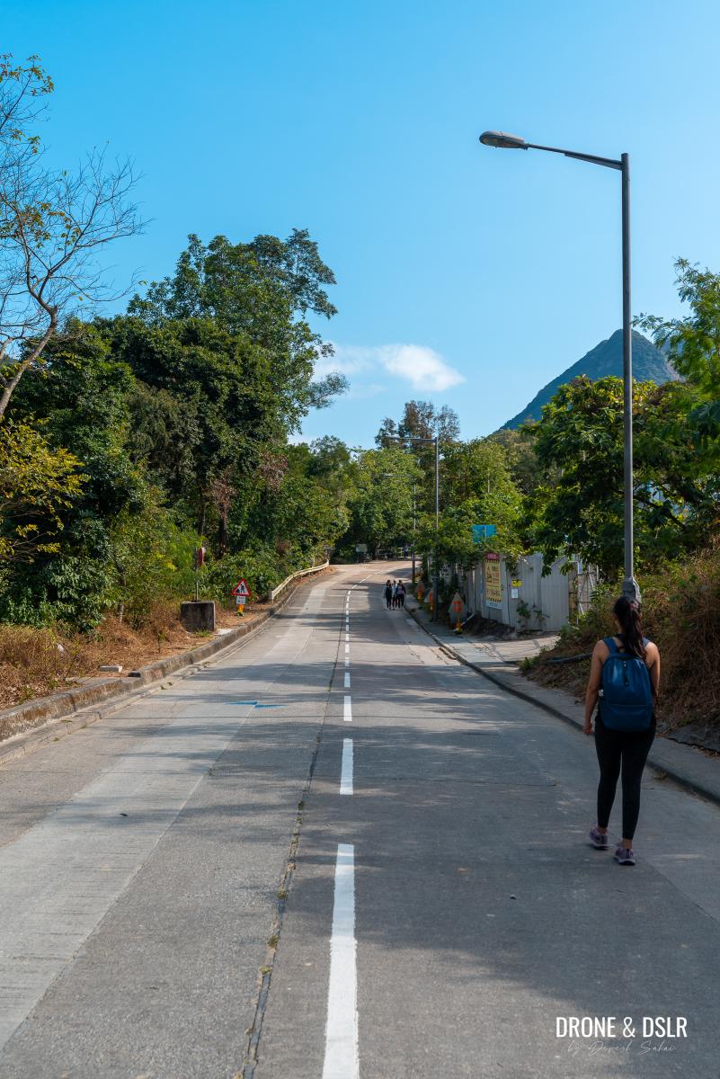
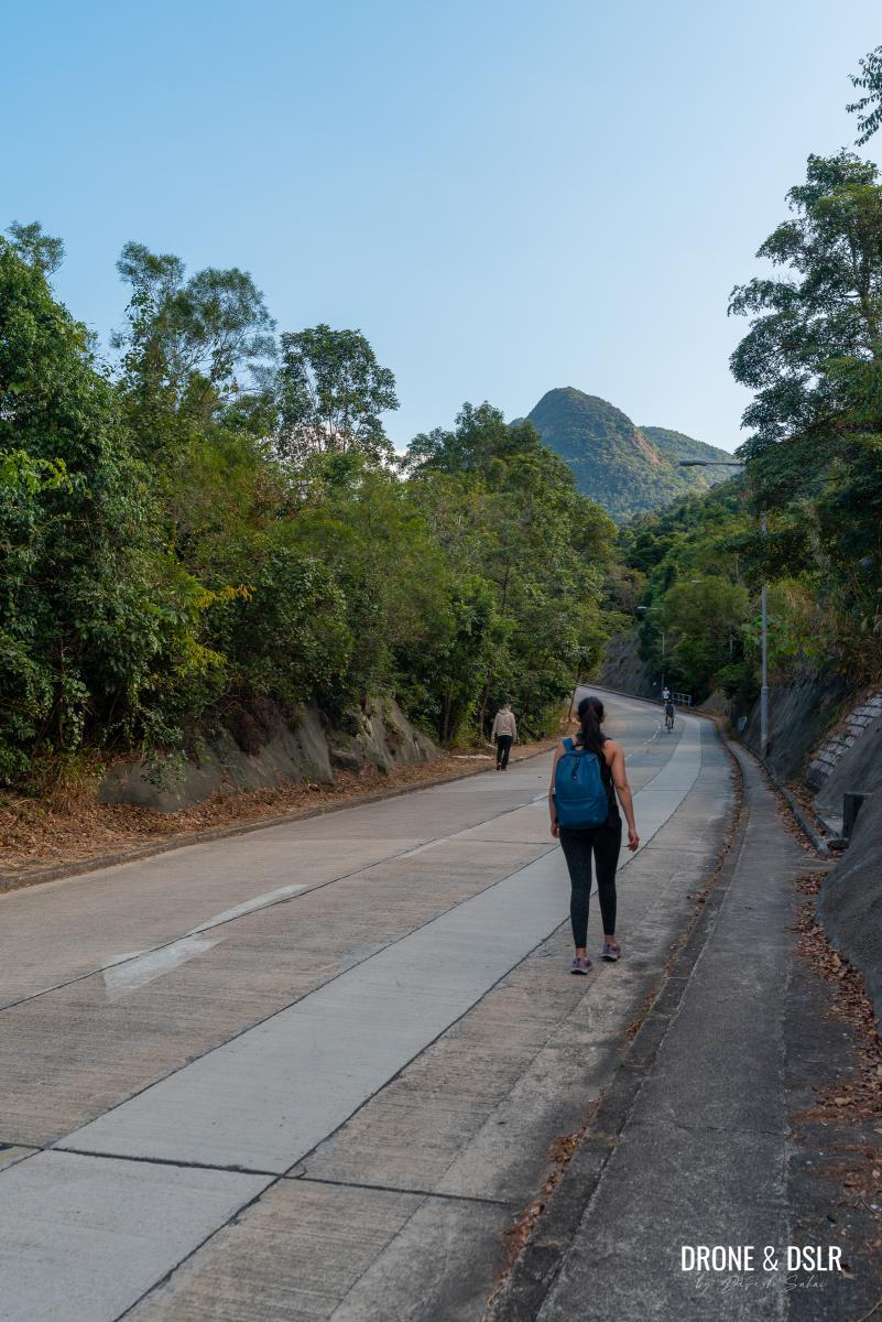
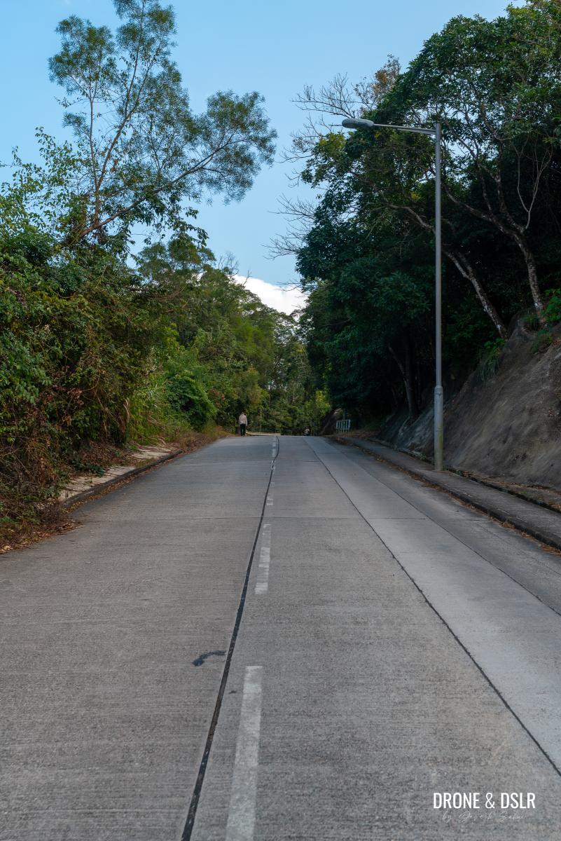
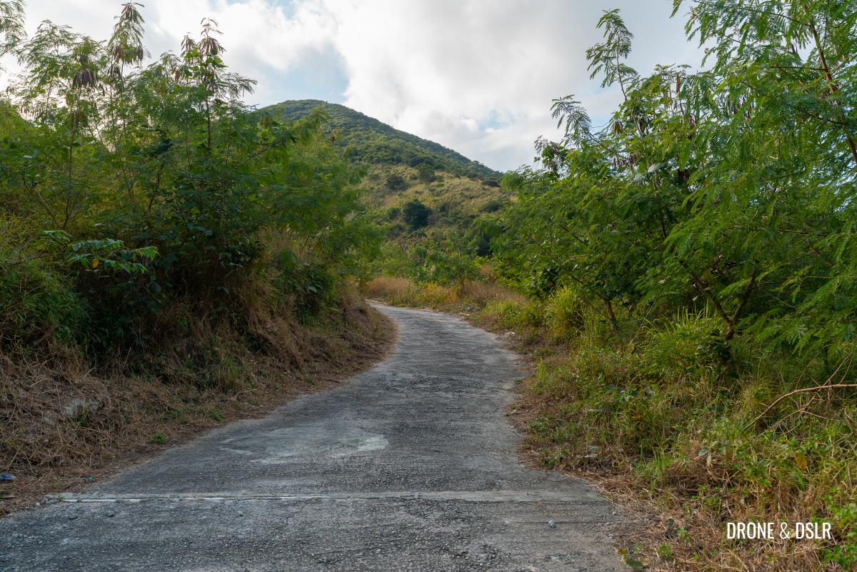
Mui Tsz Lam Road is a 2 km stretch that connects Mui Tsz Lam Village with A Kung Kok Street. The road is two-lane asphalt road with space for pedestrians to walk on the sides. The road at the beginning is flat and stays mostly flat for the first kilometre. During this section, the road goes alongside Chevalier Garden.
To know when you’re halfway, look for a fork on the left that leads to the Tai Shui Hang Lowland Pumping Station. After this point, keep going straight as the slope of the road increases slightly.
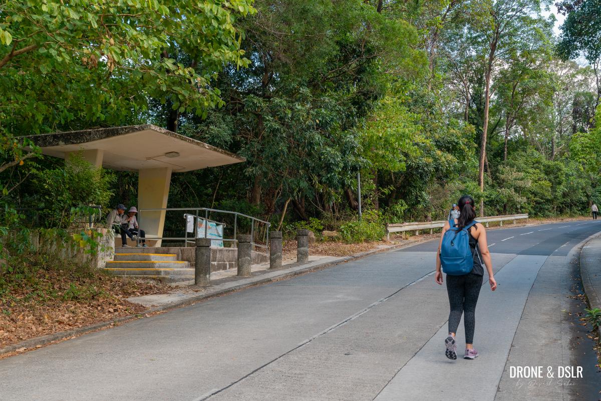
On the way, there are a few sheltered seating areas, but we didn’t feel the need to take the break. As you continue hiking, the views of the surrounding hills in Ma On Shan Country Park also come into sight.
Along the way, there are some covered seating areas, but we didn’t feel the need to stop. As you keep hiking, you’ll start to see the hills of Ma On Shan Country Park.
- The incline on Mui Tsz Lam Road shouldn’t pose any problems
- There are a few sheltered seating areas along the way
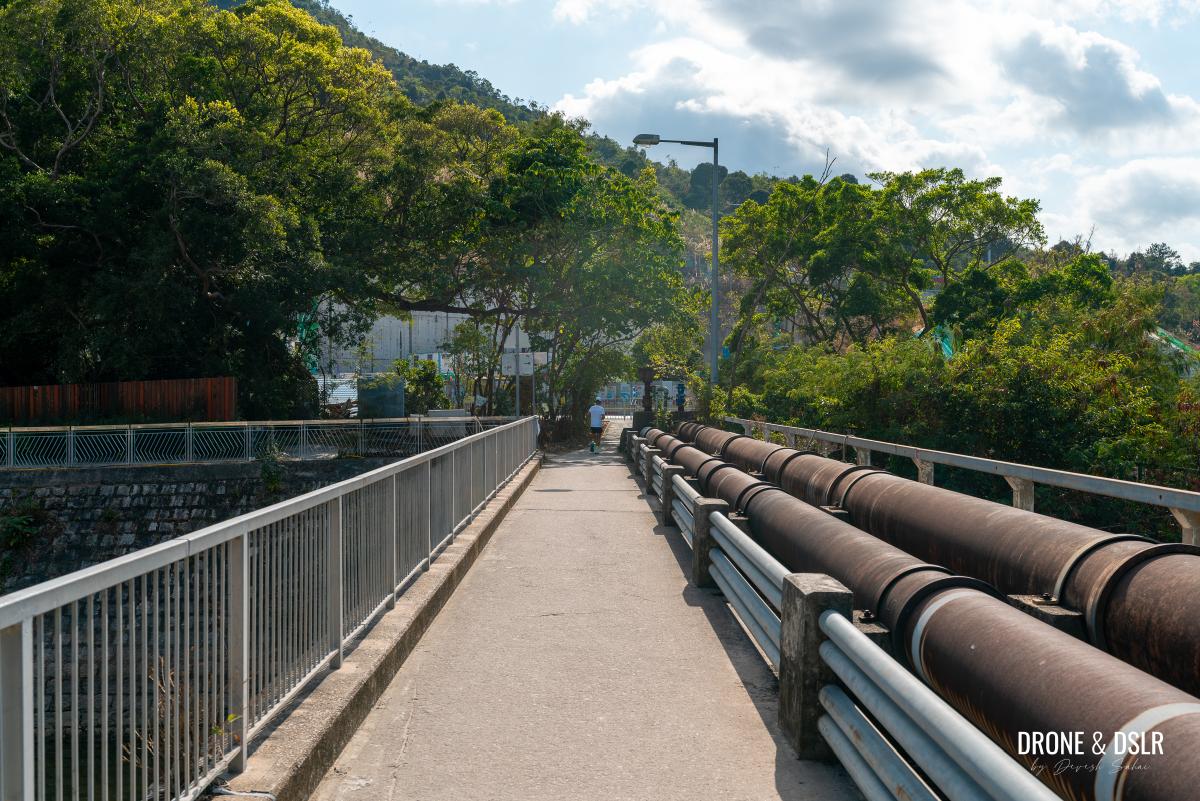
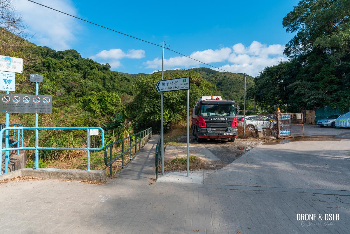
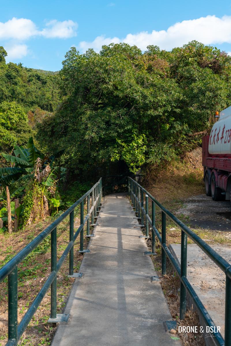
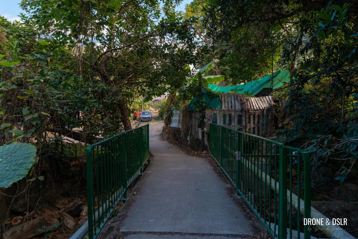
Keep following Mui Tsz Lam Road until you reach the end and see the sign for Mui Tsz Lam Village. At that point, follow the sign onto the footbridge and cross the streams to enter the village.
- Follow the sign to enter Mui Tsz Lam Village
- This path to the village should always be open
- Cross the Mui Tsz Lam Shui Hang Stream to enter the village
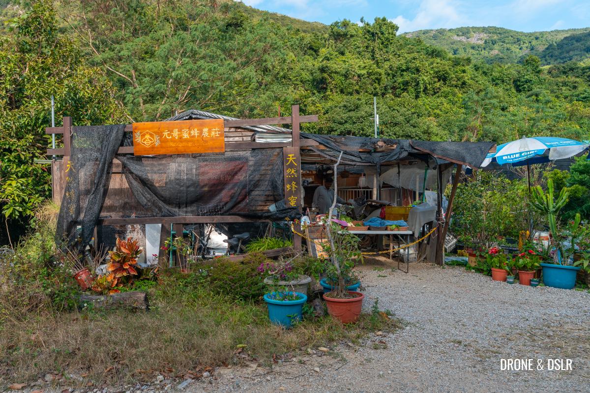
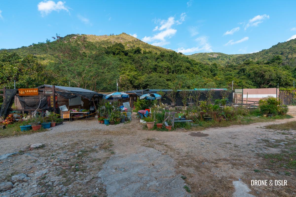
As you enter the village, there’s a farmer selling fresh vegetables and honey under the name “Kengor Bee Farm” (元哥蜜蜂農莊). Take the uphill path opposite Kengor Bee Farm.
- The Kengor Bee Farm shop at Mui Tsz Lam Village
- Take this path opposite Kengor Bee Farm
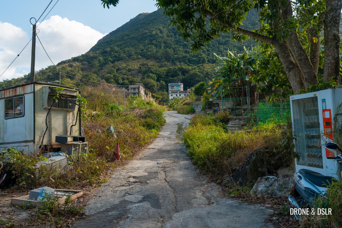
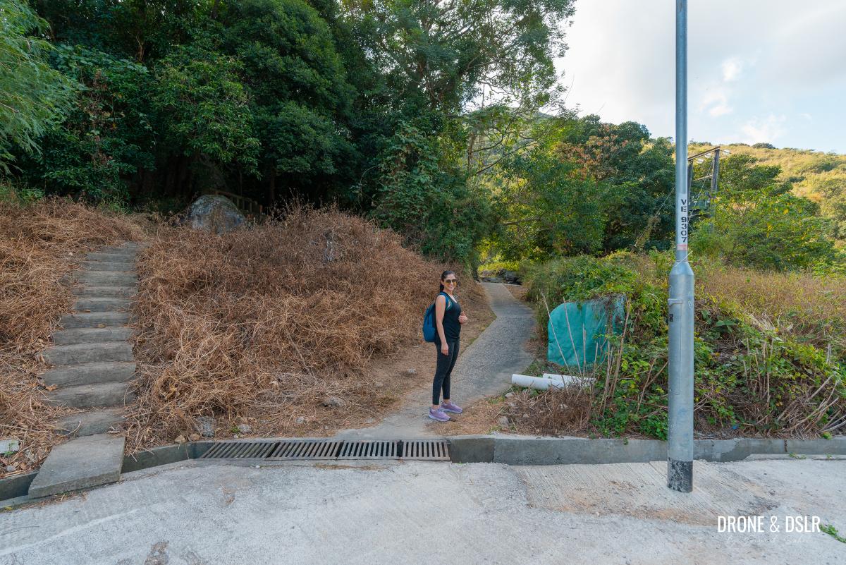
Continue walking uphill for about 150 meters, then take a right turn before reaching the village houses.
- Take the path on the right before reaching the houses in the village
- Walk up this path
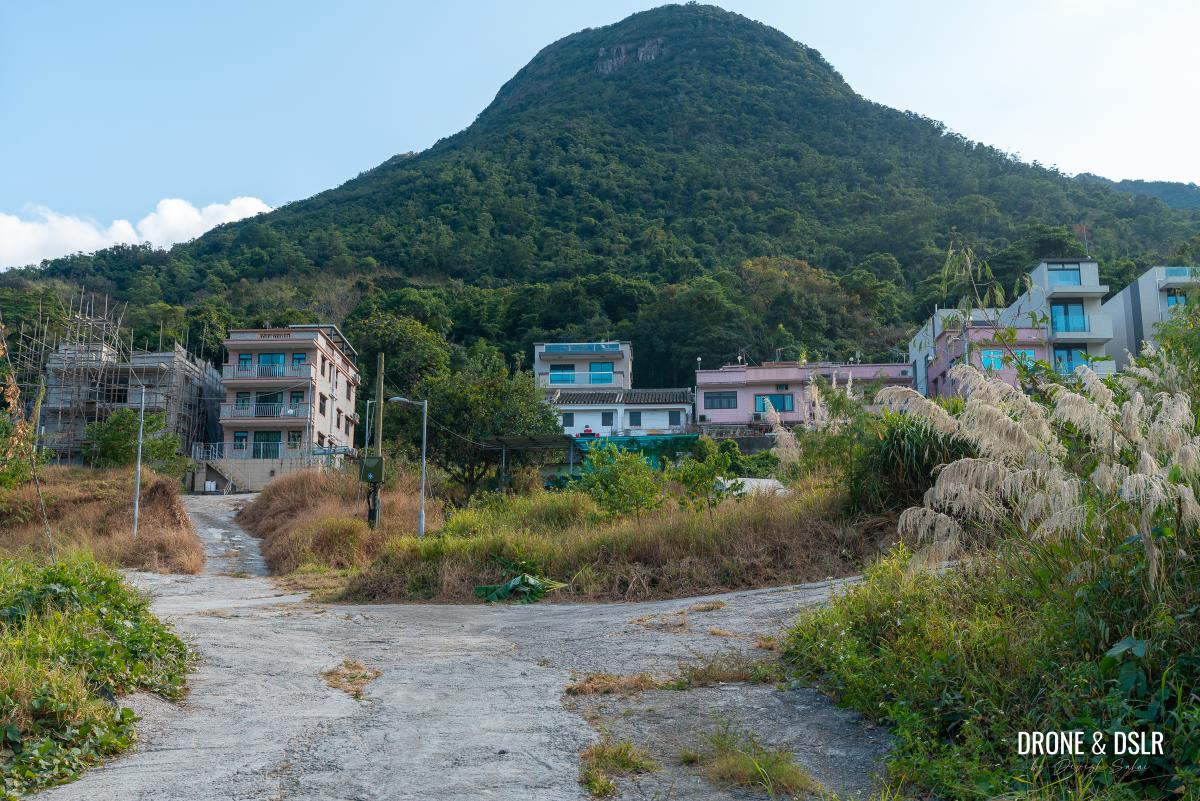
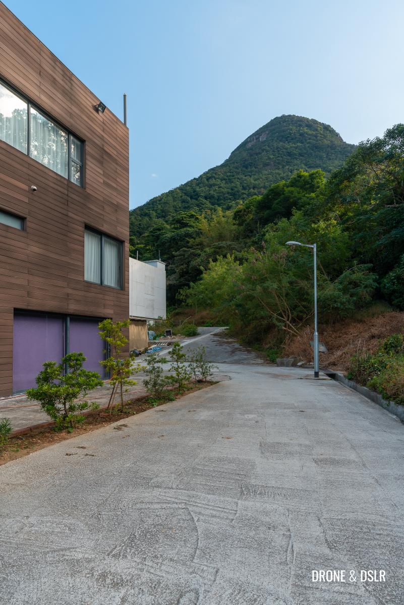
- Walk past the last house in Mui Tsz Lam Village
Stay on this path until you reach a house at the end of the village. Just as you go around the house, you’ll notice a path to the right. The hike continues on this path, which is the Mui Fa Ancient Trail.
Part 2: To Nui Po Au on the Mui Fa Ancient Trail
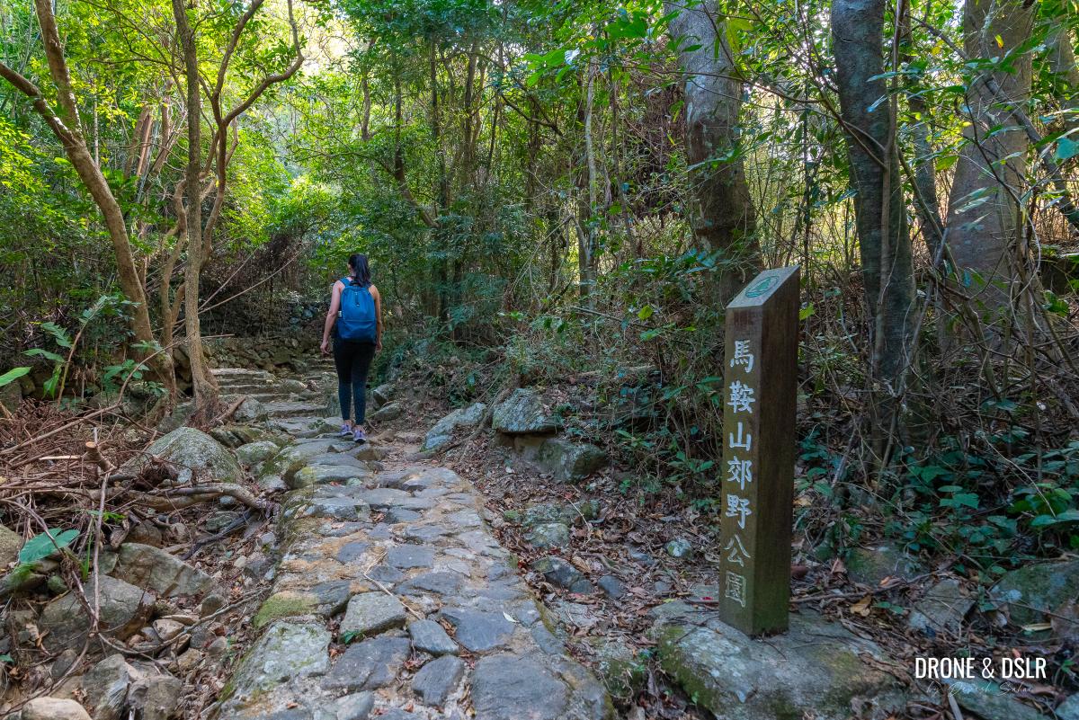
The Mui Fa Ancient Trail, connects Mui Tsz Lam Village and Fa Sam Hang Village and is slightly more challenging than what you’ve just hiked.
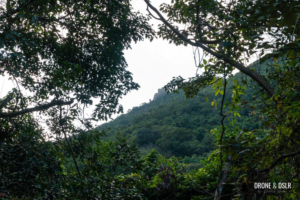
If you have a keen eye, you may spot the Penis Rock in the distance on the hill ahead. But even if you can’t, don’t worry. Enter the trail, and you’ll see it transition from a cemented track to a rocky country trail.
- Can you spot the Penis Rock in the distance?
- And we move away from the village
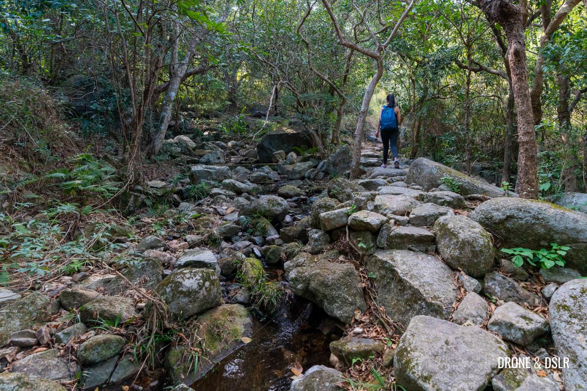
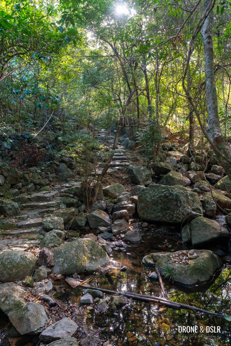
Once you’re in Ma On Shan Country Park, the Mui Fa Ancient Trail crosses a few streams. Unfortunately, during our hike, the streams were not at their fullest. But I can only imagine how beautiful it would be during the rainy season.
- Passing by a few streams behind the village
- Now entering Ma On Shan Country Park
- After the stream, the climb begins
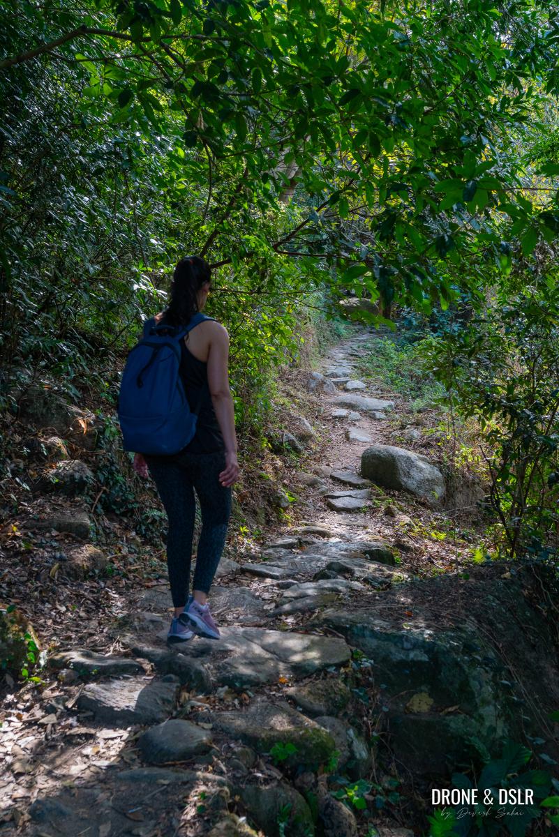
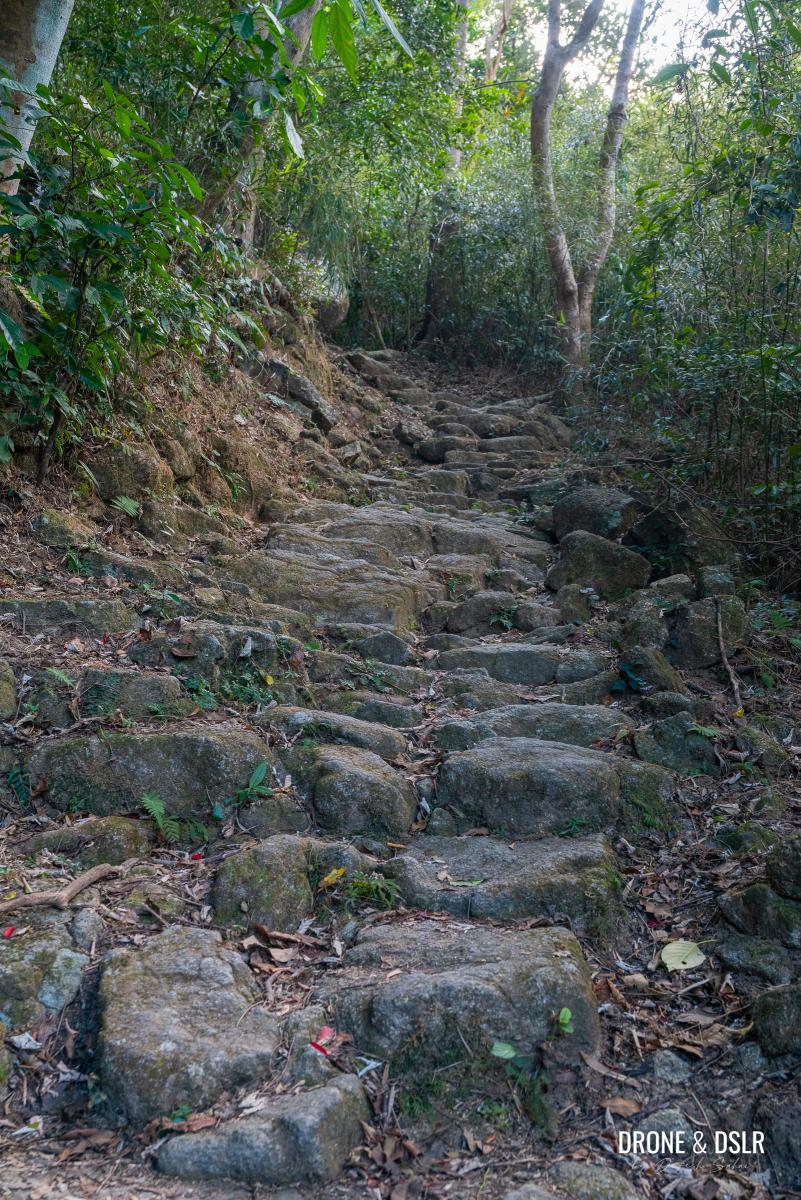
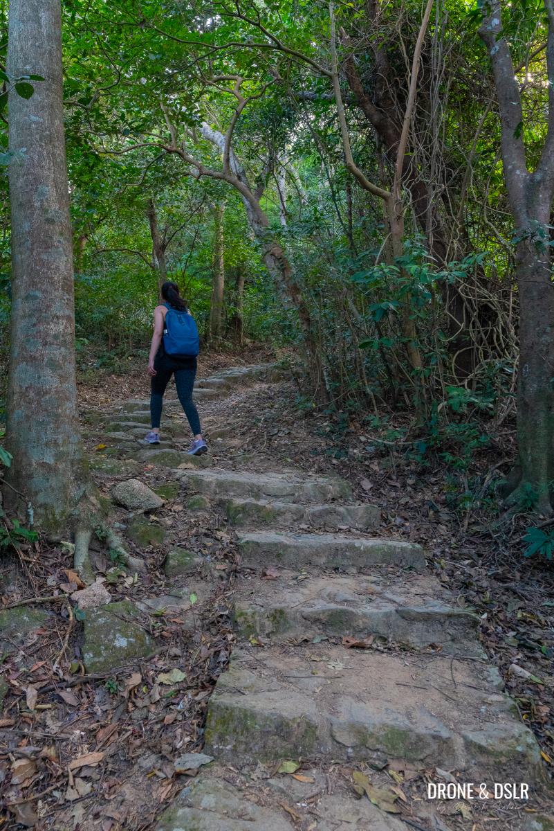
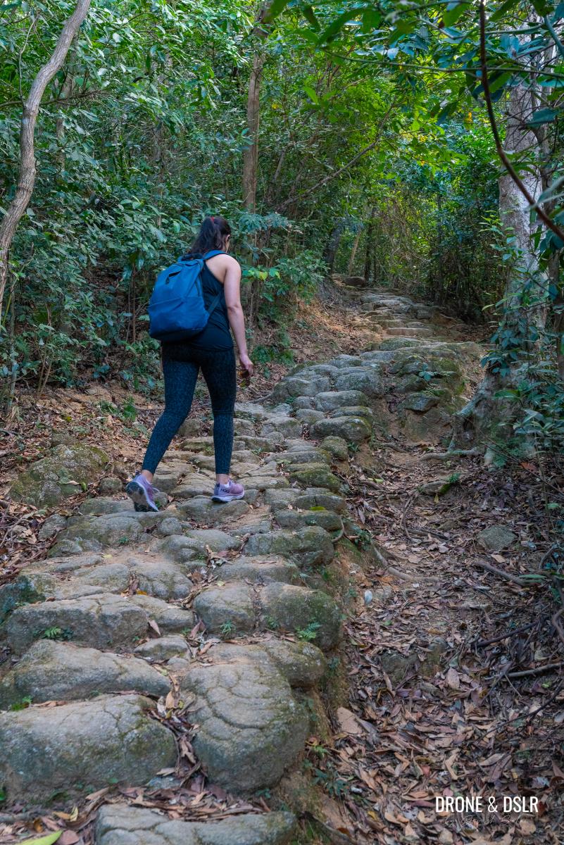
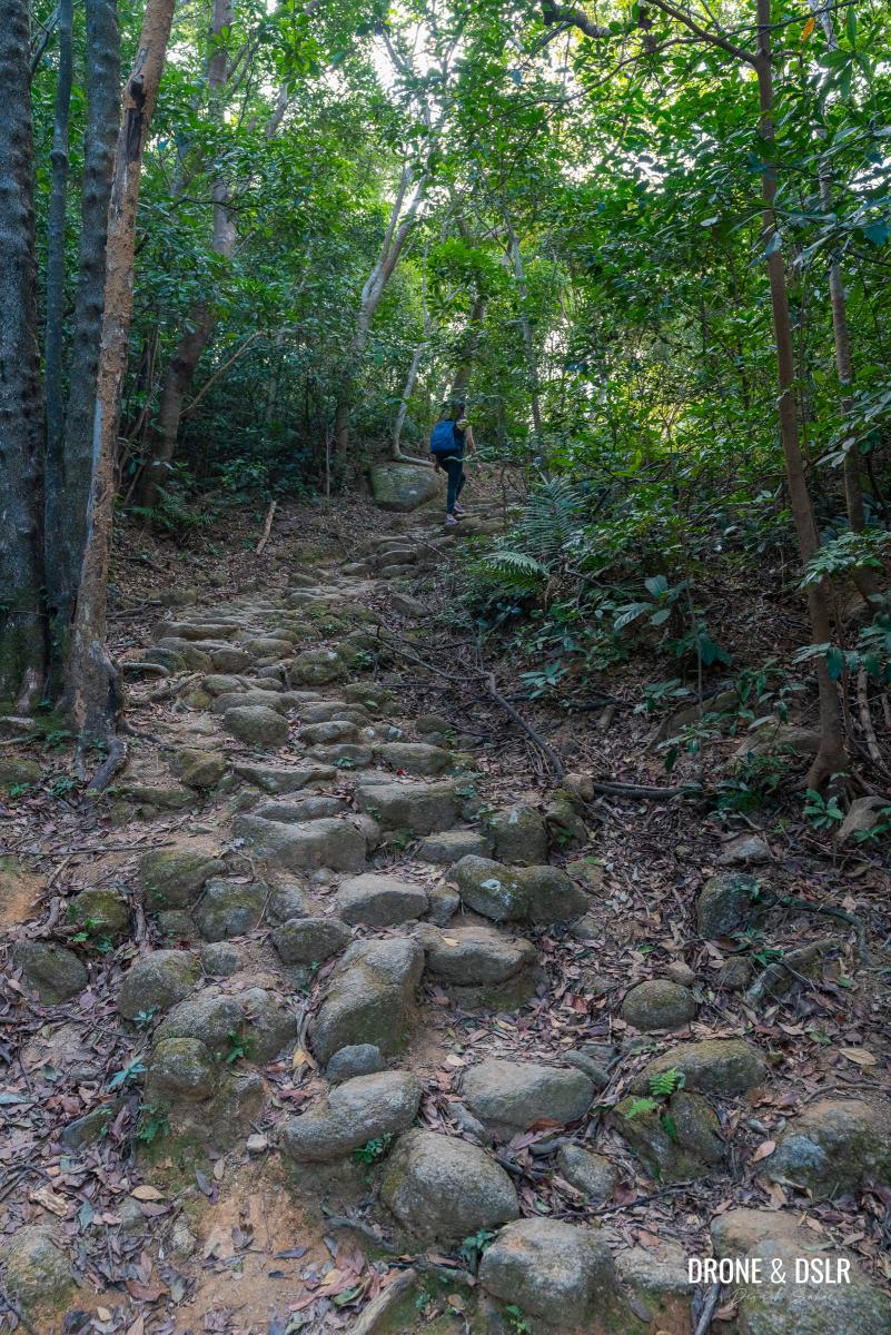
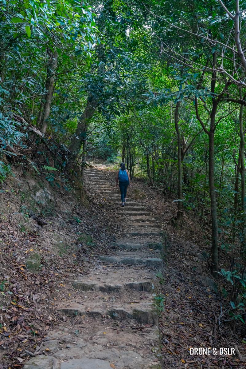
After the streams, the trail starts to gradually climb. At first, the steps are relatively easy, but they get steeper as you go along.
- And the going gets tough
- Climbing up to the see the Penis Rock
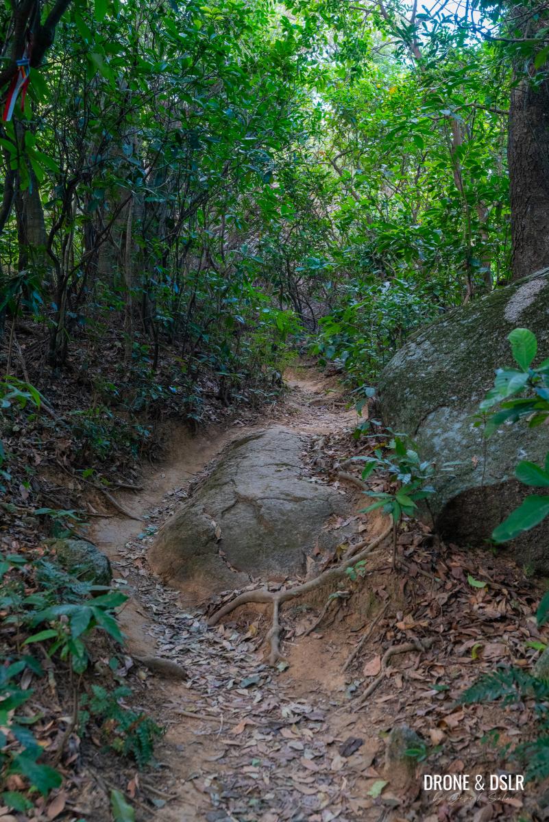
This part of the hike gains most of the elevation, about 140 meters, and you’ll definitely feel it. There are some rugged sections of steps that will really make you work up a sweat. However, the good news is that this whole section is shaded.
- This section of the hike is where you gain most elevation
- Slowly making our way to Nui Po Au on Mui Fa Ancient Trail
- There sure are a lot of steps on this section of the hike
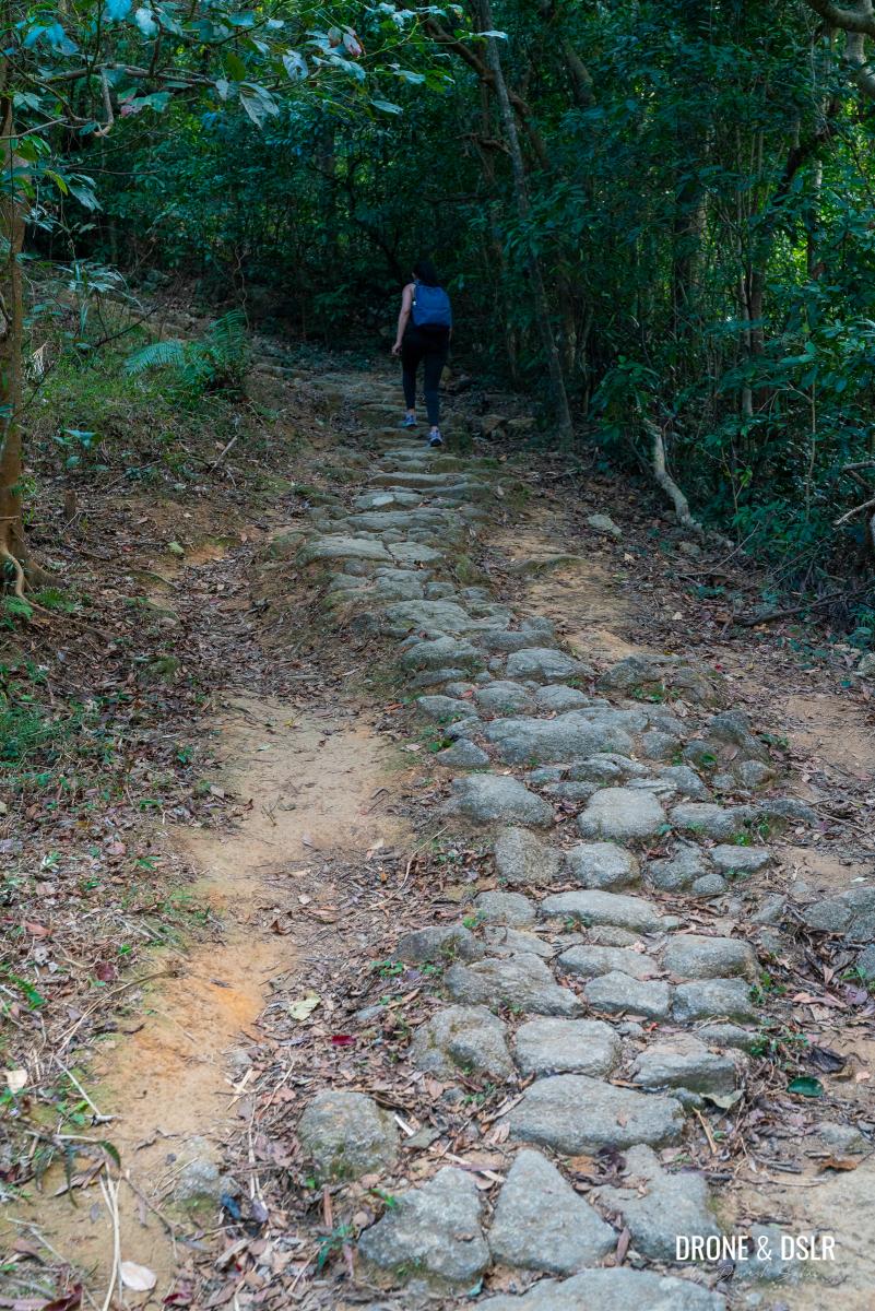
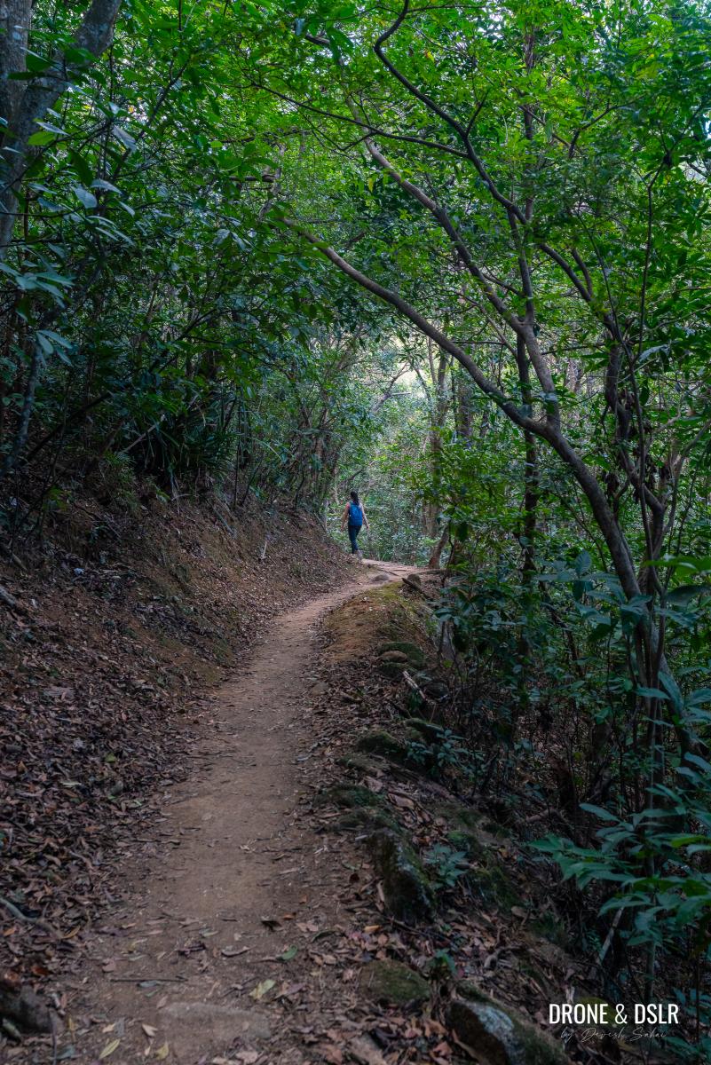
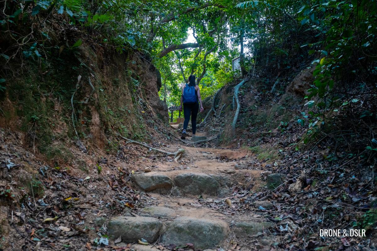
Keep climbing until the rocky terrain turns into a dirt track. From this point onwards, the trail continues to climb, but at a more gentle incline.
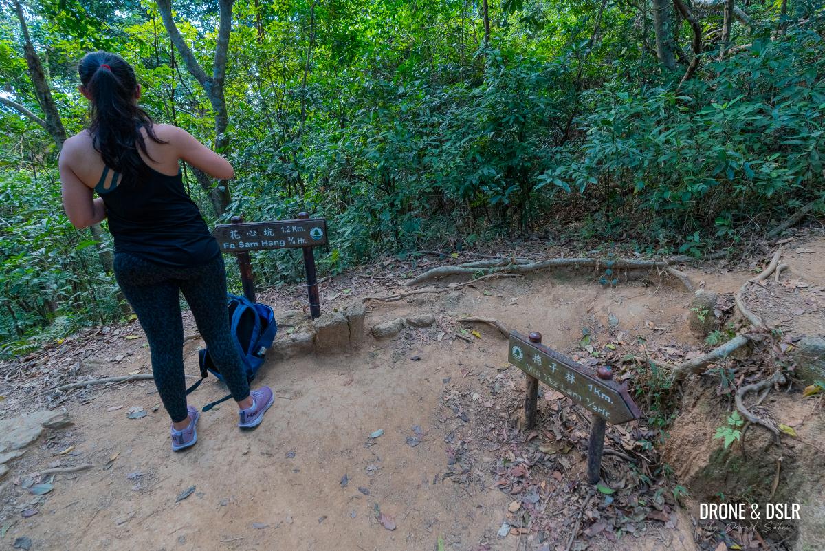
After one more easy flight of steps, you’ll finally reach Nui Po Au. This is the gap below Nui Po Shan (Turret Hill) and serves as a sort of halfway point between Mui Tsz Lam and Fa Sam Hang villages.
- The final approach to Nui Po Au
- And we’re here at Nui Po Au
- Nui Po Au is the sort of the midway point between Mui Tsz Lam and Fa Sam Hang villages
Part 3: To Penis Rock
The final 50-metre scramble to the Penis Rock is the most challenging part of the hike. Standing at Nui Po Au, it may not be immediately obvious which direction the phallic-shaped rock is in.
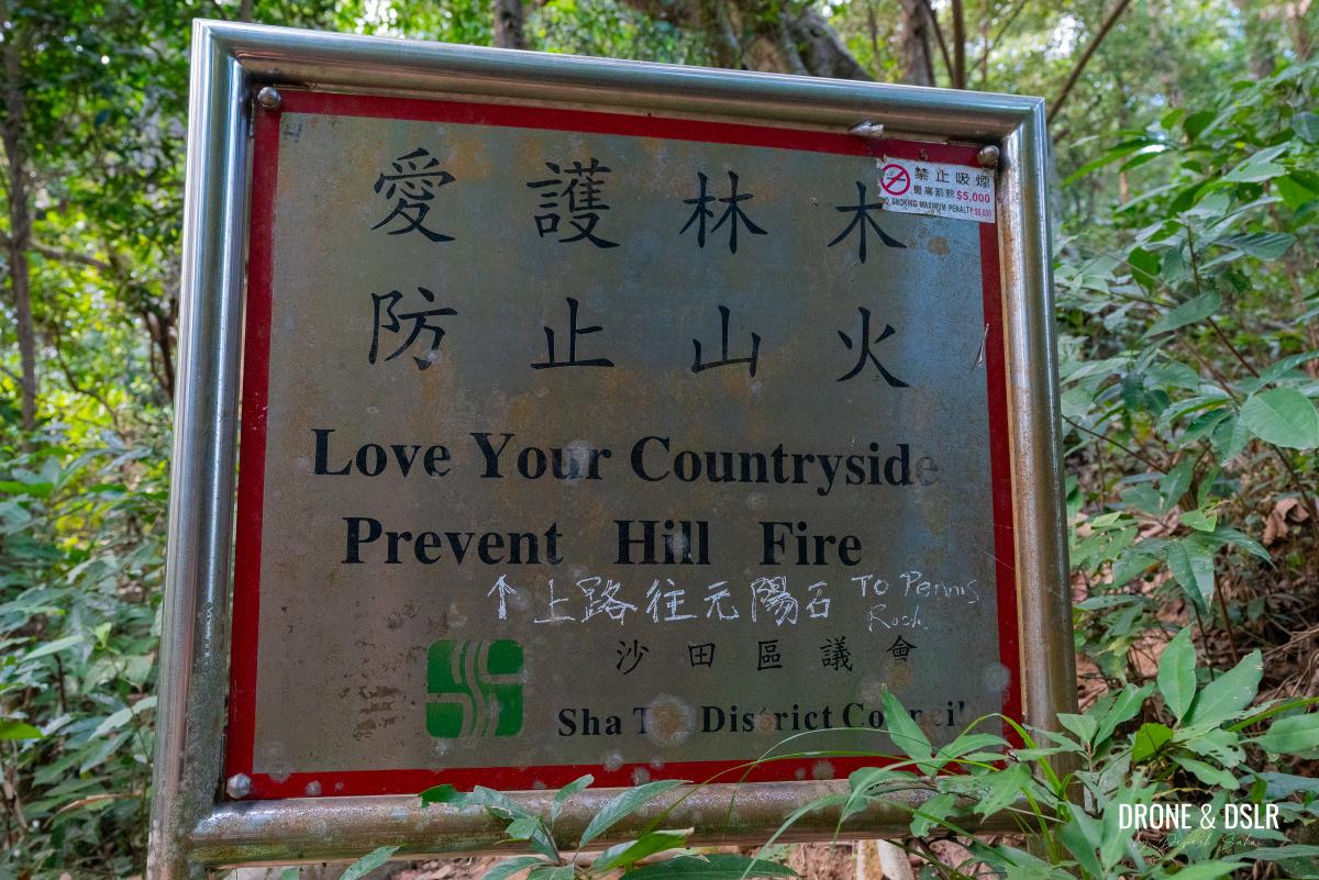
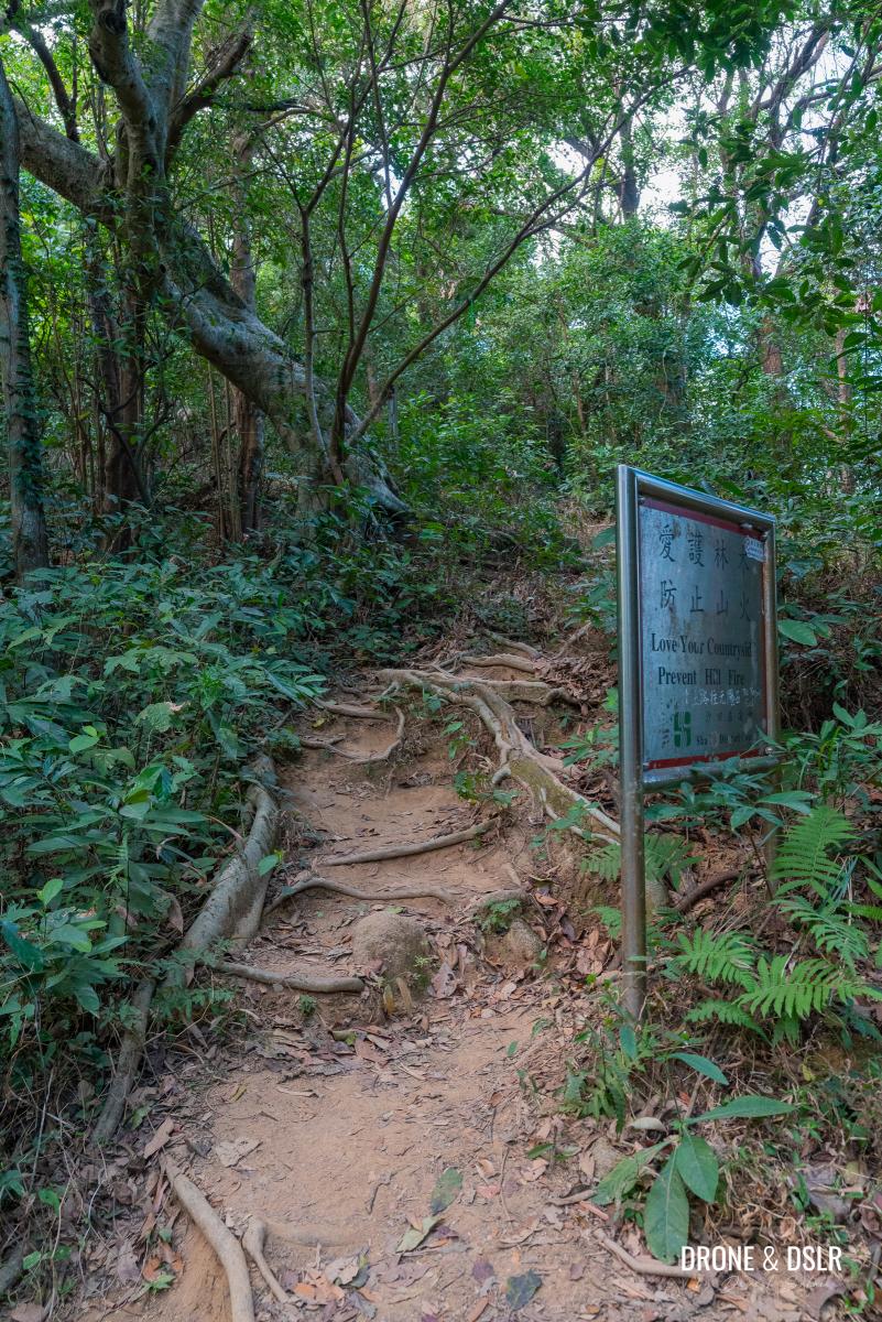
But if you look closely enough, you’ll notice the unmarked trail heading up the hill to the right (When we visited, someone had written “To Penis Rock” at the bottom of the “Love Your Countryside” sign).
- Thank you kind stranger for letting us hikers know which way to the Penis Rock
- This unmarked trail marks the last section of this hike
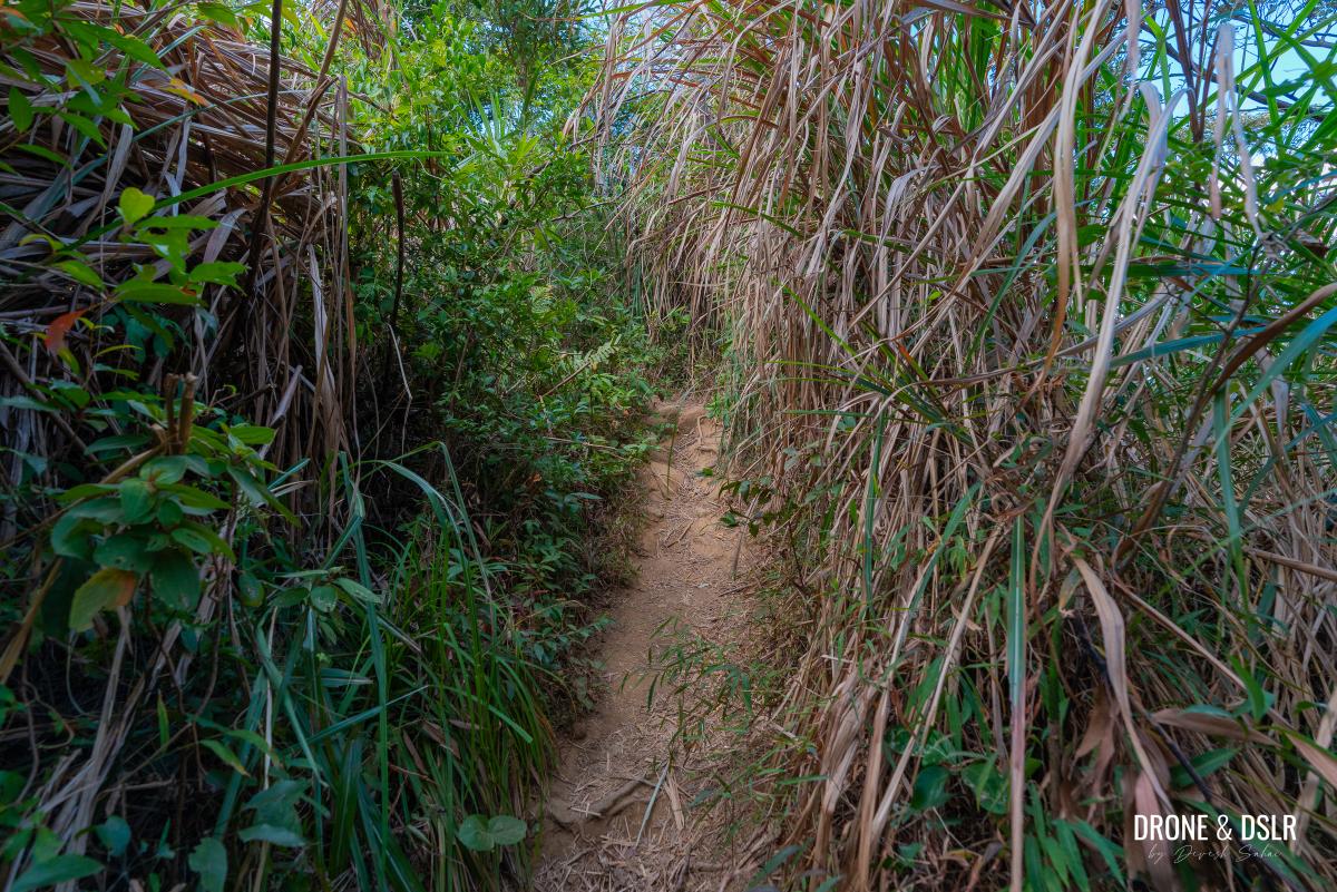
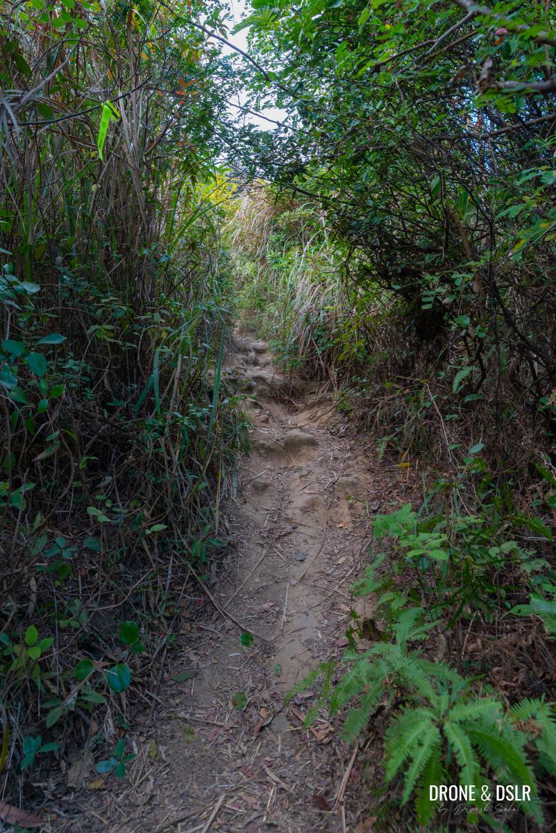
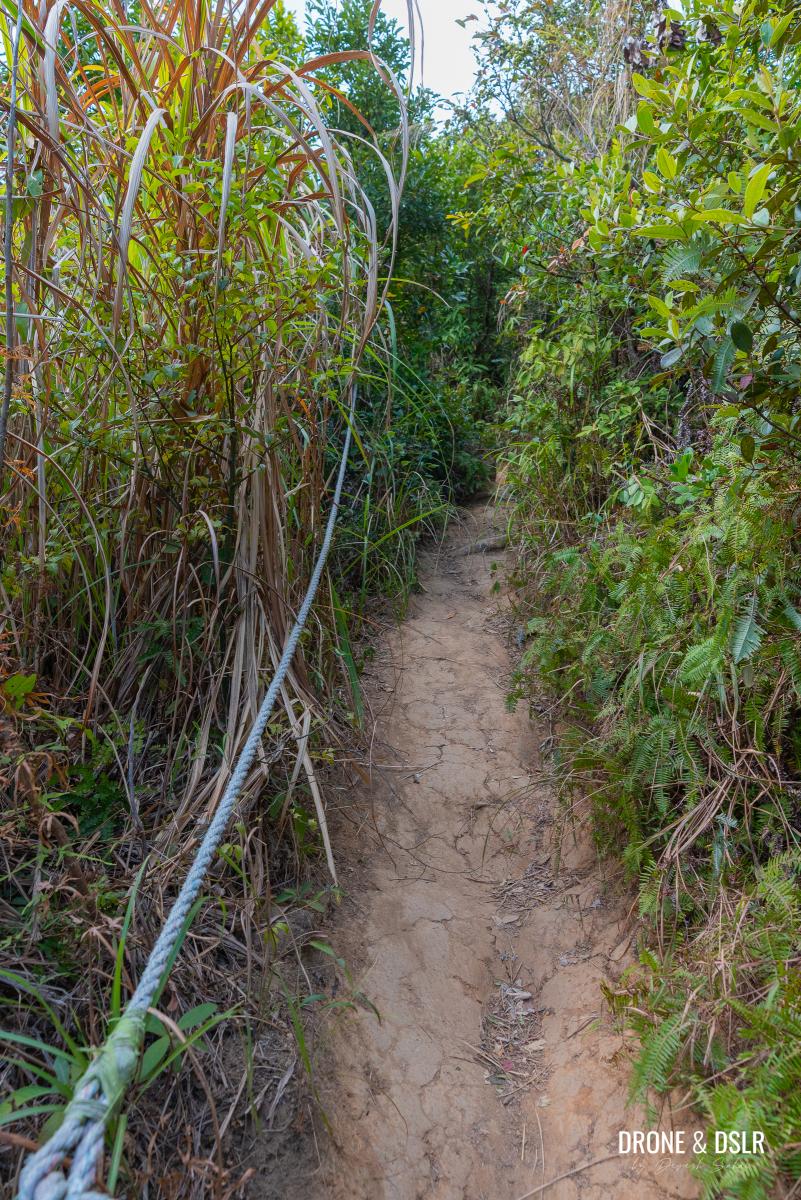
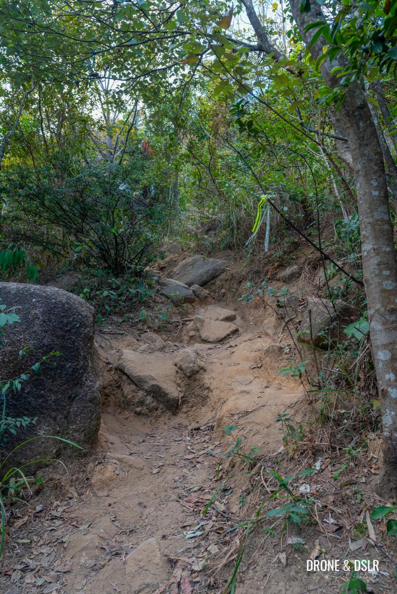
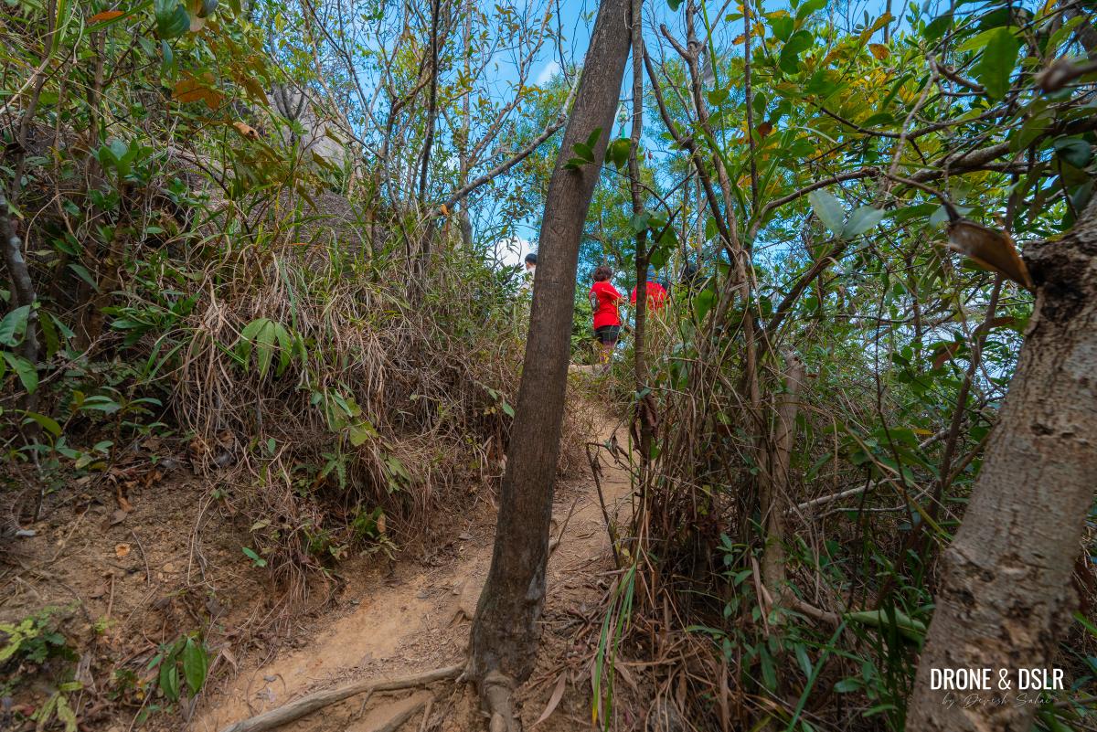
As you enter the trail, it starts off easy. But soon, it narrows and starts becoming quite steep.
- It starts off easy
- Cut through the shrubs
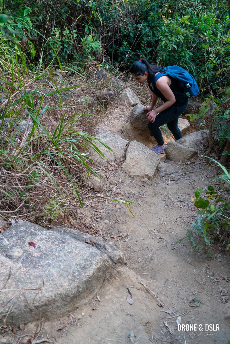
- Starts to get steep
There’s a section with a rope for you to pull yourself up. We didn’t really need the rope to climb up as much as we needed it to climb down.
- Steep and slippery, hence the rope
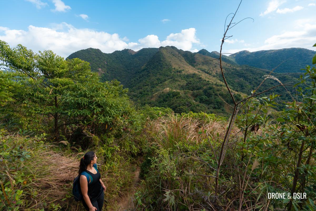
- Taking a break to appreciate the views of Buffalo Hill
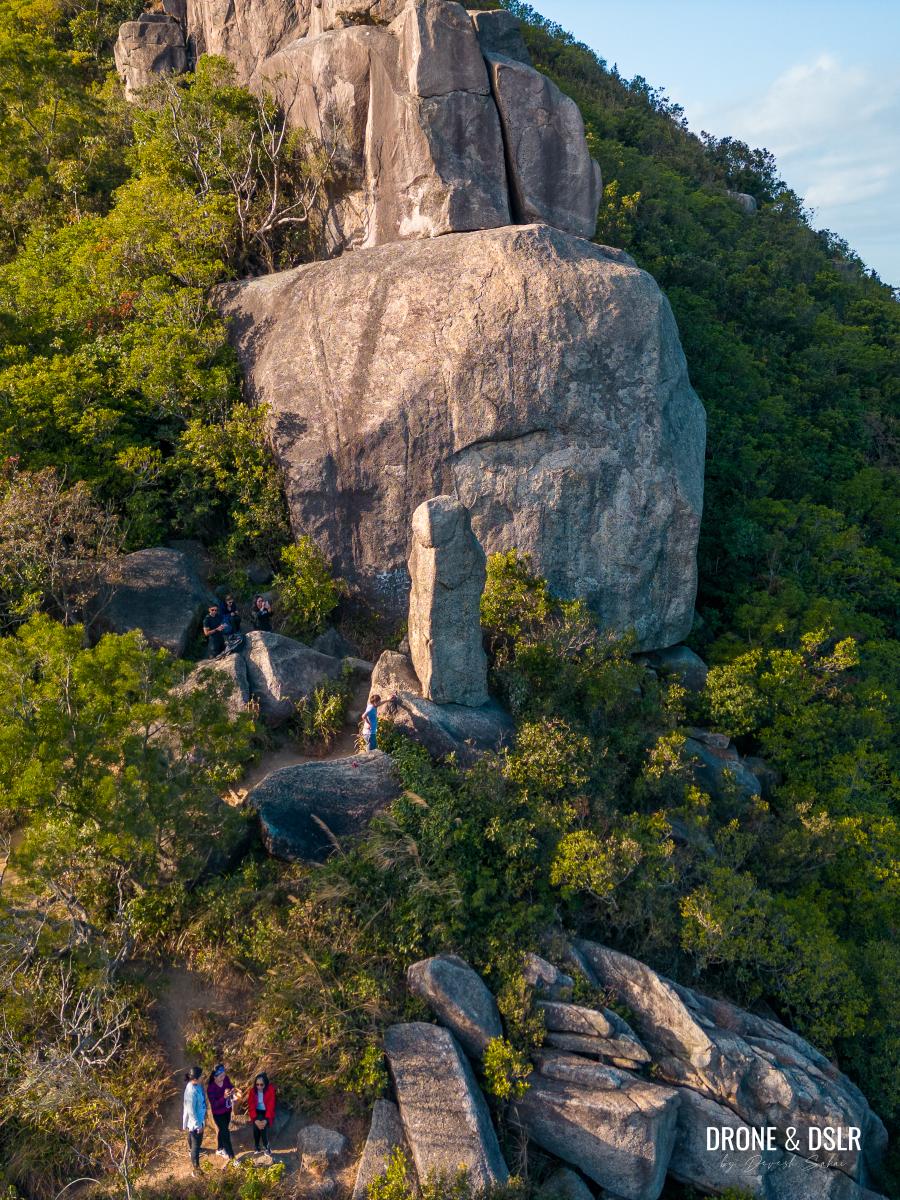
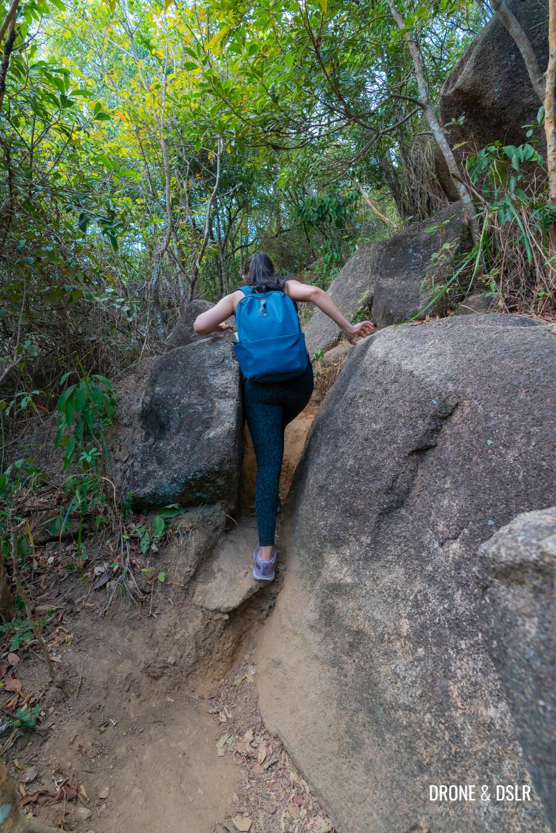
Soon after, you’ll reach the rock outcrop on the side of the hill. You’ll need your hands to pull yourself up and climb in-between the rocks.
- Gotta use your hands to give yourself a push
- Squeezing through the rocks
- A bit more climbing
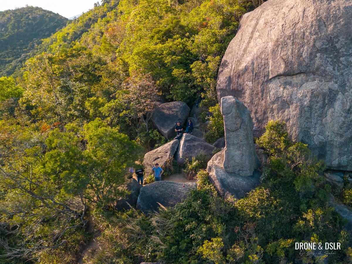
At this point, look for a path on the right leading to an opening. If you’ve hiked here on a weekend or holiday, you might hear people laughing or talking loudly. Because at the end of this short path is the infamous Penis Rock.
- Look for this path and opening on the right
- Our first look at the Penis Rock
Admiring The Penis Rock
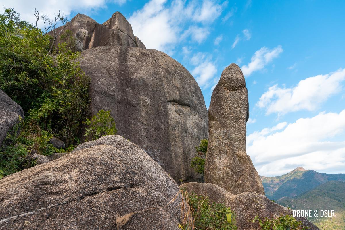
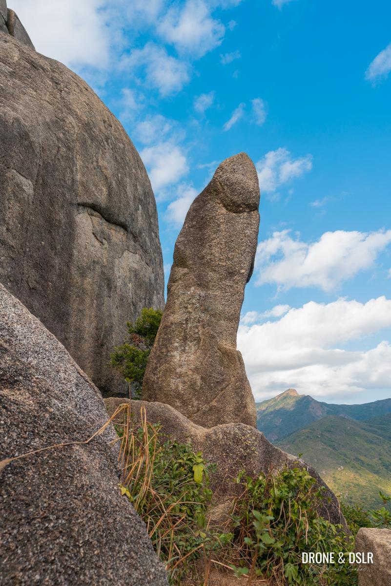
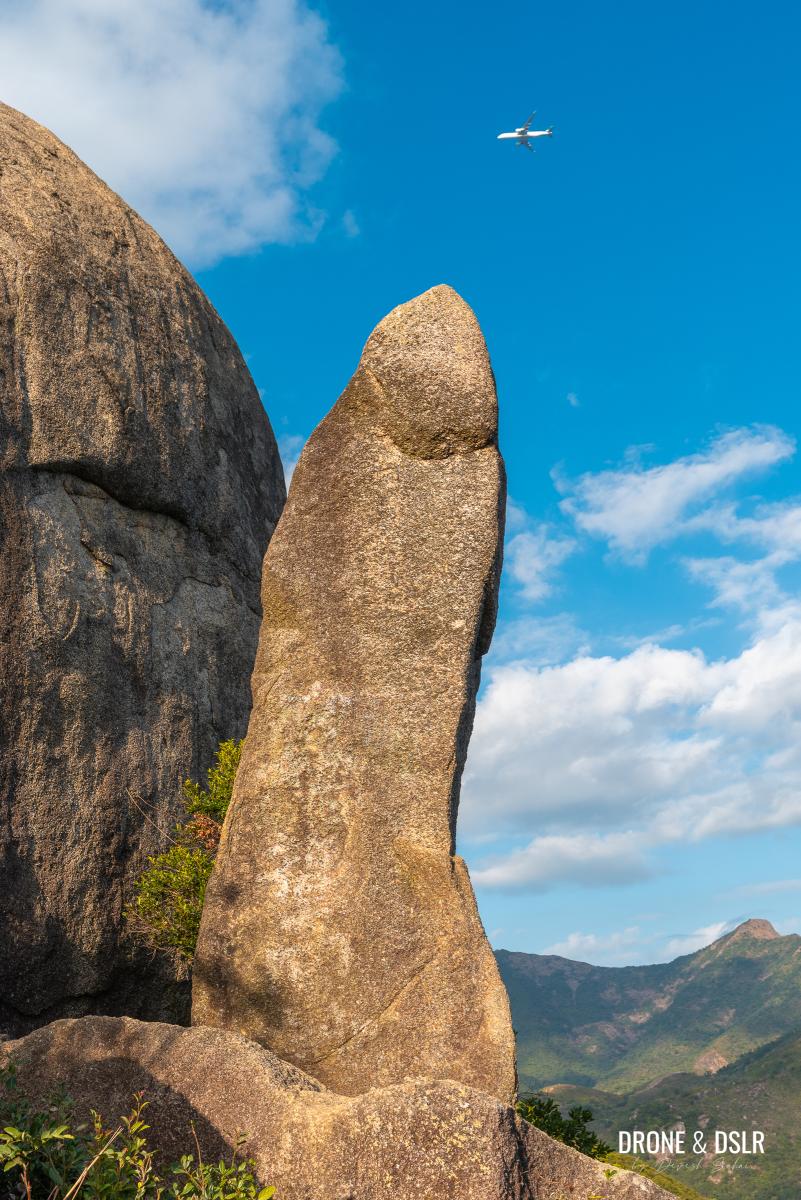
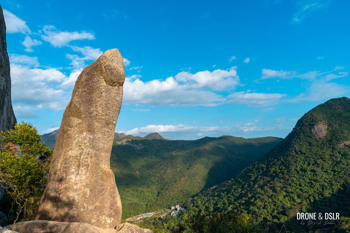
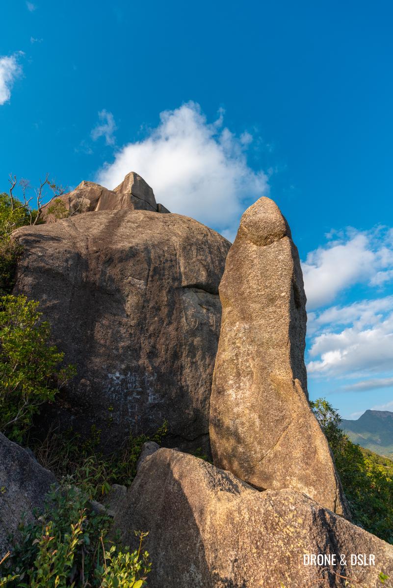
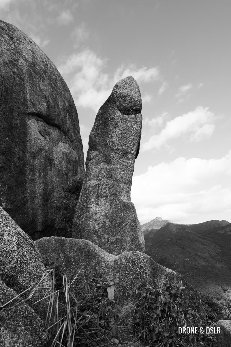
The first thing that struck us was the uncanny resemblance the Penis Rock bore to the male organ. After all, we’ve seen the one penis rock on Lamma Island, but this one was…better proportioned? How did this rock get formed, and why is it separated? Nature must have a wonderful sense of humour!
- First impressions – quite an uncanny resemblance!
- The rock has a bit of girth
The next thing we realized was that this is a very “social hike”. Hikers were doing their creative best to pose with the Penis Rock. There were lewd jokes being thrown around and lots of laughter! It was quite a fun atmosphere.
- From some angles, it is 100% phallic
- Penis Rock in Ma On Shan Country Park
- Still wondering how this was formed?
After taking all the photos with the Penis Rock, we realized that we were so distracted that we hadn’t noticed the views from up here.
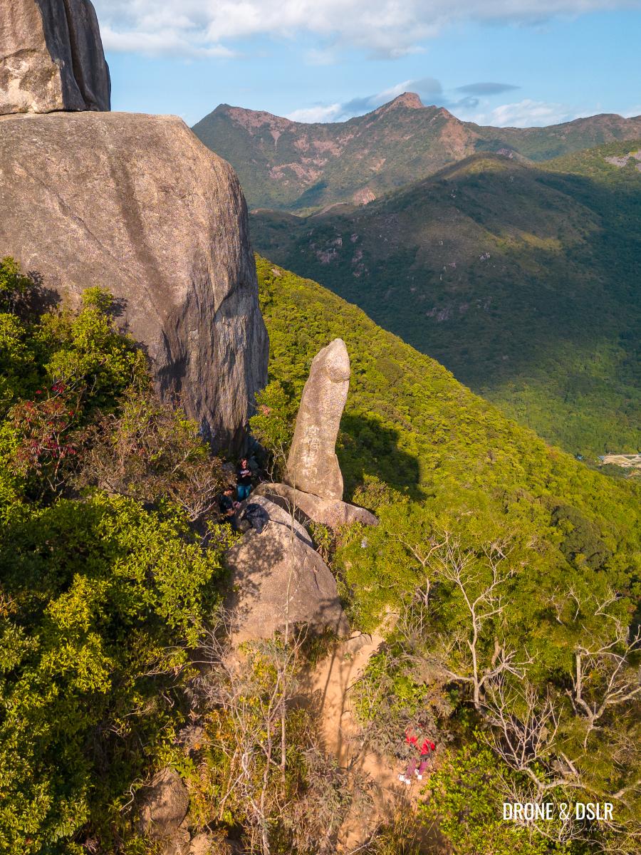
- Penis Rock with Ma On Shan Peak in the background
- I bet it looks small from up there
- An angle you don’t get to see of the Penis Rock
- A different perspective of the Penis Rock
We’d hiked up on a clear, crisp winter day, and we could see all the way to the summit of Buffalo Hill, with tiny people on top. And on the other side, Ma On Shan, Hunchbacks, and Pyramid Hill. Down below, we could also spot all the houses in Mui Tsz Lam Village.
- The views of Ma On Shan Country Park from here are quite nice
- The unmistakeable Penis Rock in Hong Kong
Optional: Continue to Nui Po Shan
If you’d like to continue hiking to the summit of Nui Po Shan, return to the trail that brought you here and continue hiking uphill for another 500 metres.
However, we decided not to hike to Nui Po Shan, and return the way we came.
If you decided to hike all the way to Nui Po Shan, we highly recommend returning the same way. This is because there is a high possibility of getting lost on the other unmarked tracks from the summit.
How to end the Nui Po Shan (Penis Rock) Hike
The best way to end the Nui Po Shan (Penis Rock) Hike is to retrace your steps back to Mui Tsz Lam Village and then down to the MTR or Hang Tak Street.
Alternatively, you could return to Nui Po Au and then head down to Fa Sam Hang Village. Next to the village is Wong Nai Tau Bus Terminus, from where you could also find public transportation.
For us, it was easier to return the way we came. And on our way back, we decided to stop at Kengor Bee Farm (元哥蜜蜂農莊) and shop for some delicious kale, lettuce, and a few other fresh vegetables.
- We returned to the Kengor Bee Farm
- We’ve ended many hikes buying farm fresh vegetables on our way back
The Most Phallic-Shaped Rock in Hong Kong
We hope you found our guide to the Nui Po Shan (Penis Rock) Hike resourceful. This is a perfect hike to take your friends on to have a good laugh!
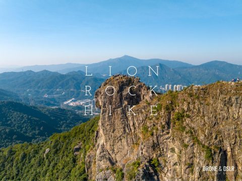
If you’re interested in checking out the other phallic-shaped rocks in Hong Kong, there is one on the way to Mt. Stenhouse on Lamma Island, and Lover’s Rock in Wan Chai. Of course, not all rocks are perversely shaped! There’s Rhino Rock, Shark Rock, and a bunch of other SFW shaped rocks in Hong Kong!
As always, drop us a comment below or share this post on the social media channel of your choice.
If you enjoy our work, come join us on Instagram and YouTube 🙂








Leave a reply