
Have you ever been on a hike that’s taken you by surprise because you weren’t expecting much along the way? Well, I had such an experience on the Fu Tei Country Trail in Tuen Mun.
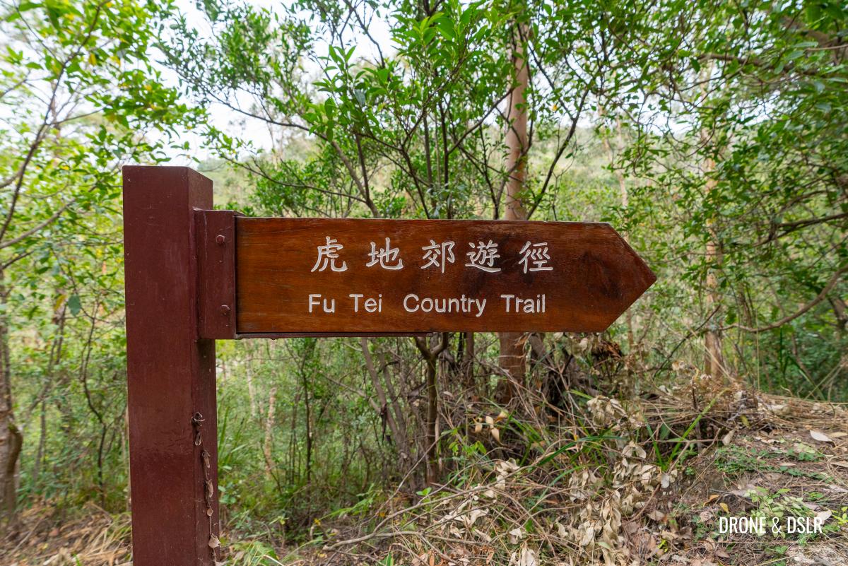
The Fu Tei Country Trail
Fu Tei in Tuen Mun is famed in local legend for sightings of tigers. However, the truth behind these stories remains uncertain, and I can confidently say that I didn’t spot any tigers on my hike.
The Fu Tei Country Trail is a 4.1 km hike runs along the scenic Lam Tei Irrigation Reservoir and the Fu Tei Stream (also known as the Tiger Stream or Lo Fu Stream) that feeds into the reservoir offering hikers access to stream and numerous shallow pools.
The Fu Tei Stream running along the Fu Tei Country Trail
But if you follow my modified route (4.6 km) in this guide, you’ll not only enjoy the stream and the reservoir, but also have access to incredible views of Castle Peak, Kau Keng Shan, Tuen Mun, and beyond.
About The Fu Tei Country Trail
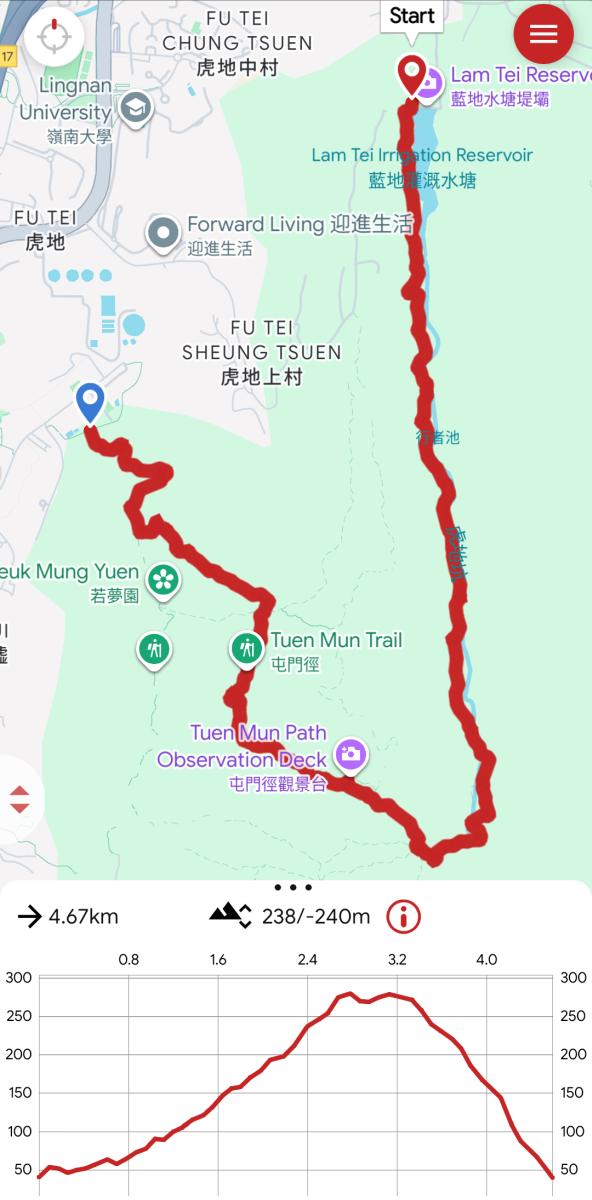
Fu Tei Country Trail Map with the Kwun Yam Shan Detour
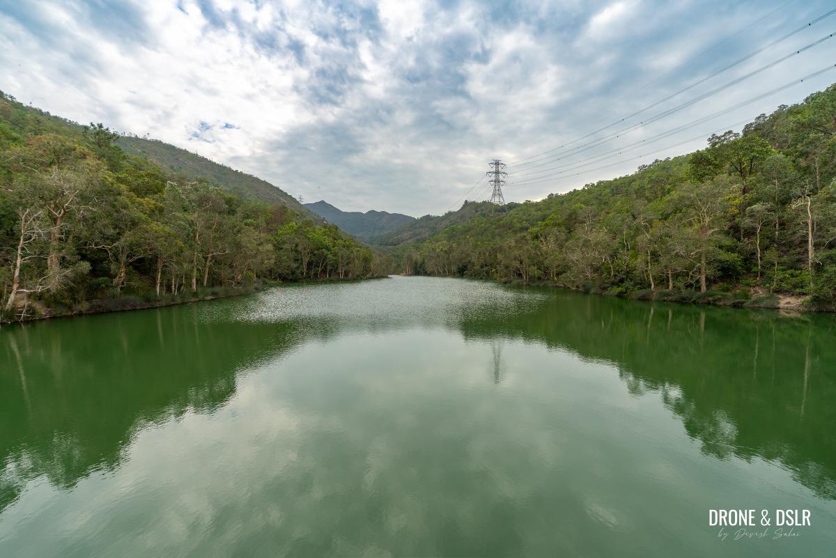
The 4.1 km Fu Tei Country Trail is a shaded trail that runs along the Fu Tei Stream, that feeds into the Lam Tei Irrigation Reservoir, which was constructed and put into service in 1957. The reservoir resembles a long, narrow lake, flanked by hills on either side.
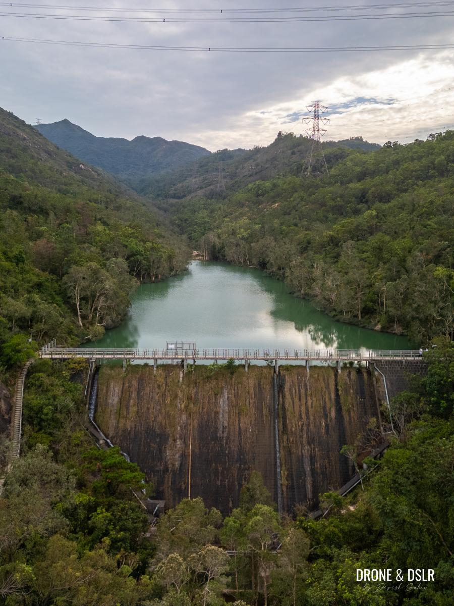
Aerial view of the Lam Tei Irrigation Reservoir
The trail forms a loop (almost), but not around the reservoir. I absolutely loved the section of the trail that runs along the reservoir and stream. However, I decided to swap the second half of the trail (that does not run along reservoir and stream) for the Kwun Yam Shan Section of the Tuen Mun Trail. I did this to add a scenic and slightly more adventurous section to the hike. Although you can still follow the path for the Fu Tei Country Trail, I would recommend taking the detour to Kwun Yam Shan. And the detour only adds another 500 metres to the hike.
Overall I’d say that the Fu Tei Country Trail is relatively easy, even with the diversion to Kwun Yam Shan. There are some moderately challenging inclines, but the rest of the trail is a joy to hike.
Starting Point
The Fu Tei Country Trail starts from the Lam Tei Irrigation Reservoir. But reservoir’s remote location makes getting to it an excursion. Depending on your location, you could navigate to it using Google Maps. But the shortest distance I found was via Fu Tei Estate.
You’re free to follow the route below or chart your own.
Getting to Lam Tei Irrigation Reservoir from Fu Tei Estate (1.1 km)
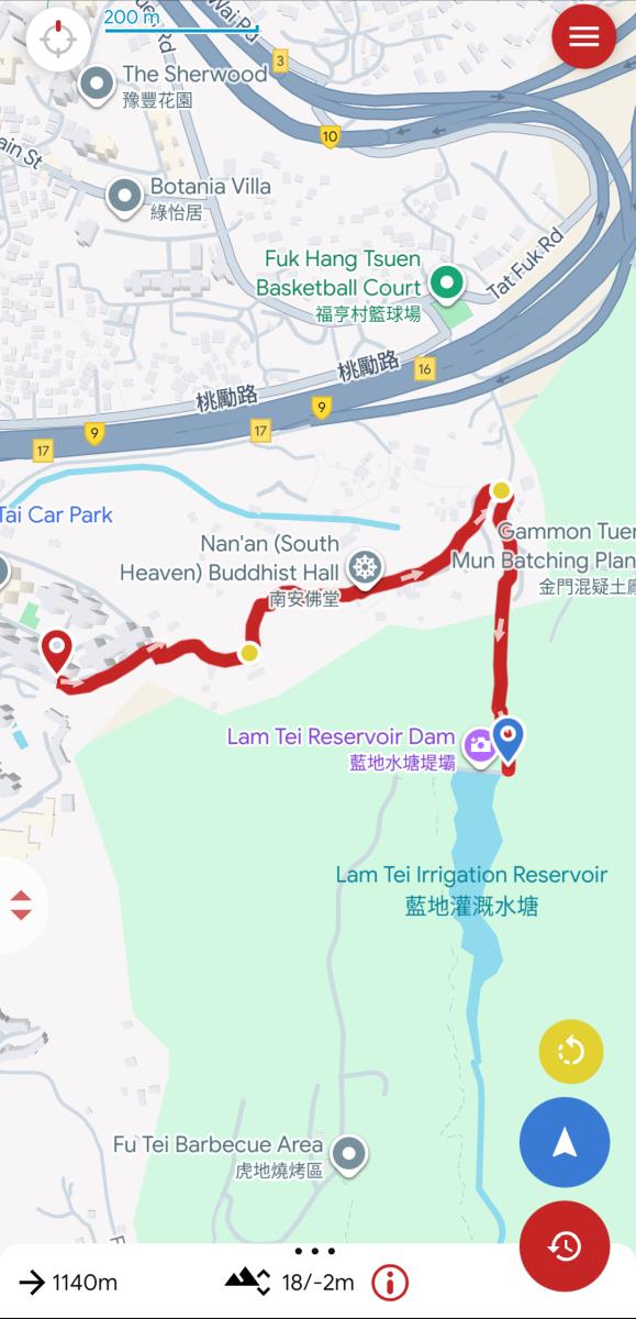
Fu Tei Estate to Lam Tei Irrigation Reservoir Map
To reach Lam Tei Irrigation Reservoir from Fu Tei Estate, first arrive at Fu Tei Estate and get onto Tuen Kwai Rd, which is located directly behind the bus terminus.
-

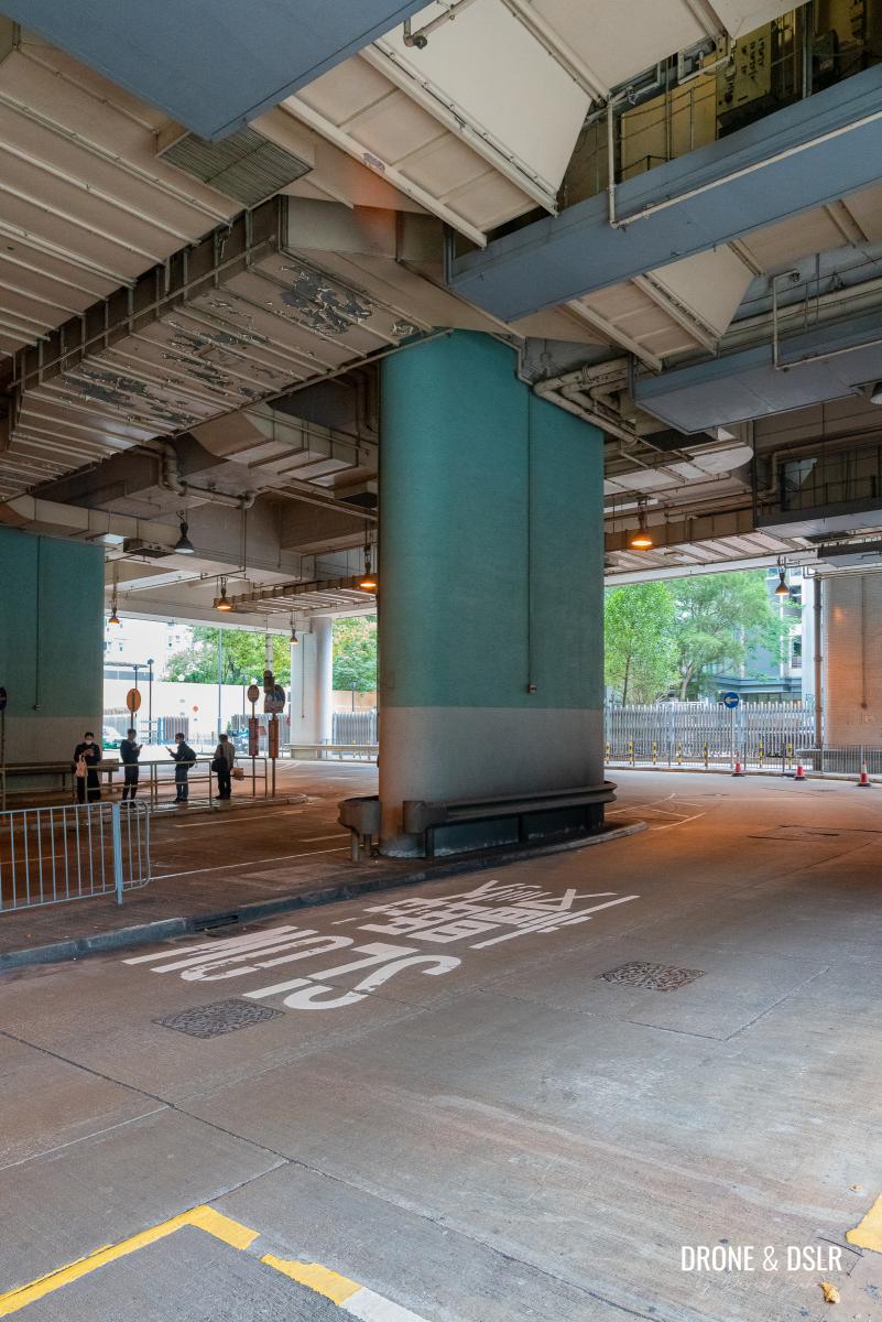
- Fu Tei Estate Bus Stop is a good place to start your journey
-
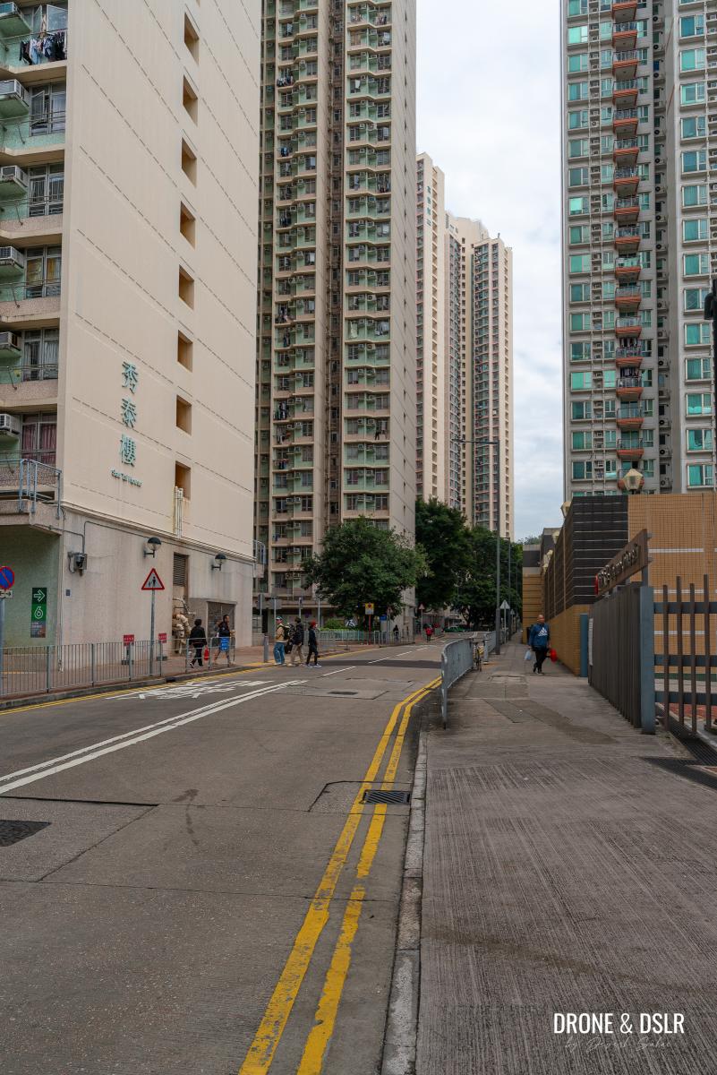
- From the bus terminus, walk on Tuen Kwai Road towards the estate
Once here, walk down Tuen Kwai Rd to the roundabout, and take the pathway towards Yin Tai House.
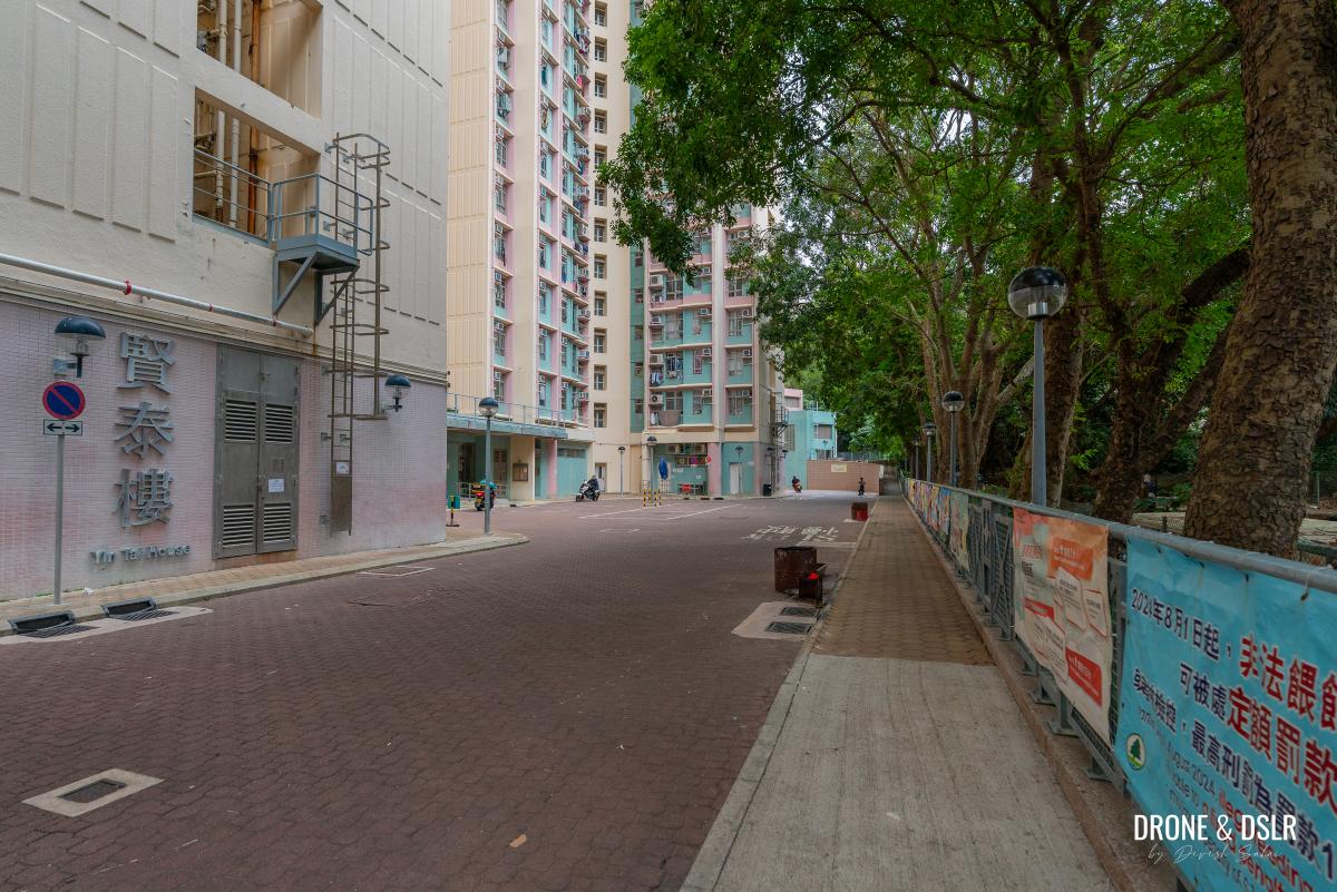
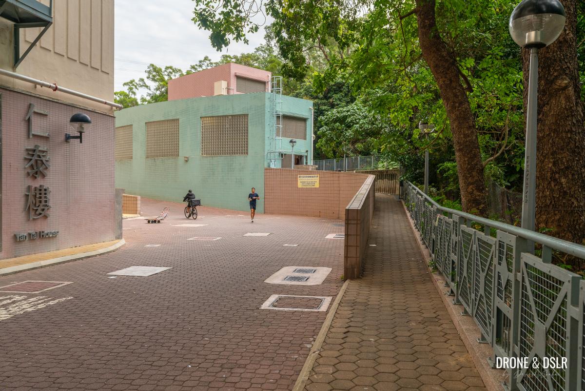
Walk past Yin Tai House
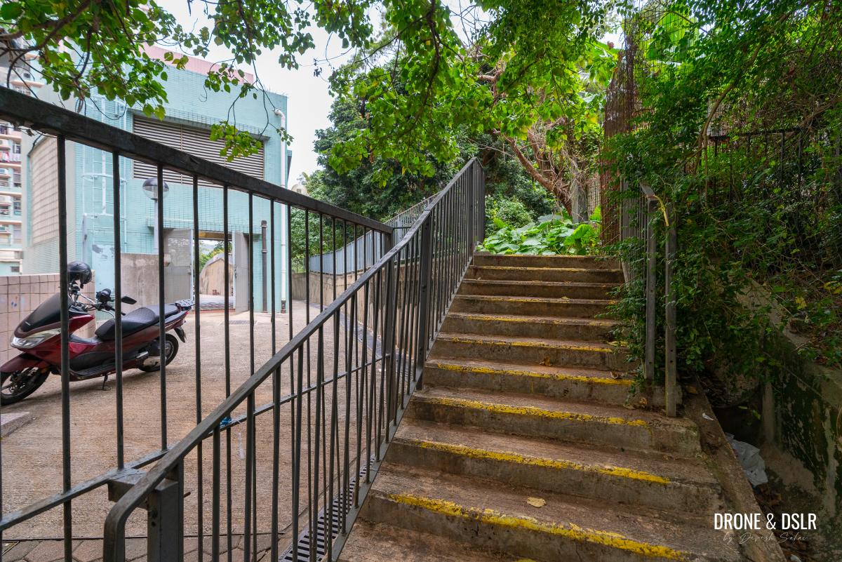
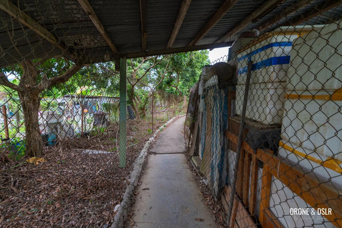
Walk pasted Yin Tai House and locate the path on the right, along the boundary fence, leading to a refuse collection point. Just before the refuse collection area, take the steps on the right.
-
- Take the ramp on the side
-
- Walk up the steps on the right before the refuse collection point
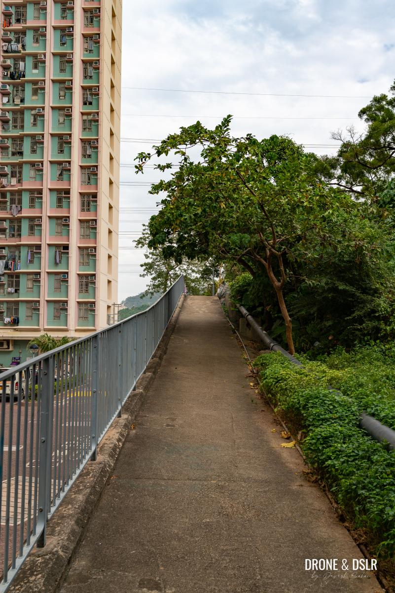
The steps lead you onto another path on top of the estate’s boundary wall. Walk towards the end of the path, but before you reach the village, take the fork on the right to enter the village.
-
- Walk on the path above the boundary wall
-
- Take the path on the right from the boundary wall to enter the village
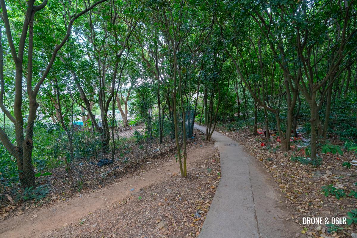
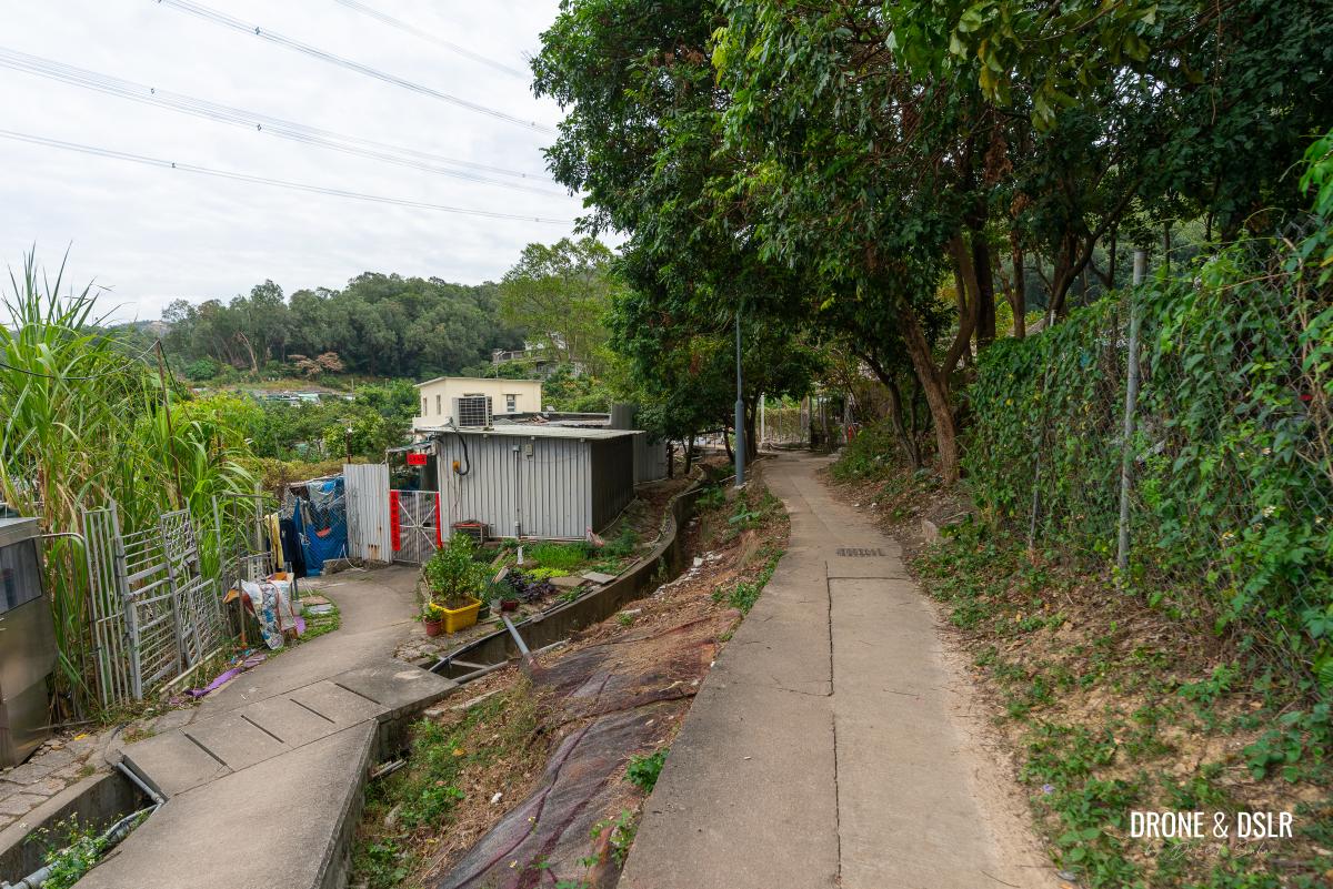
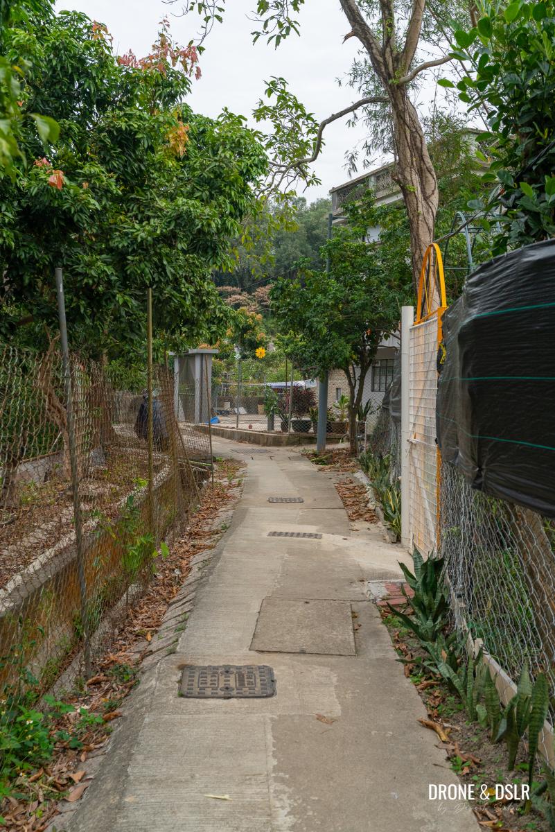
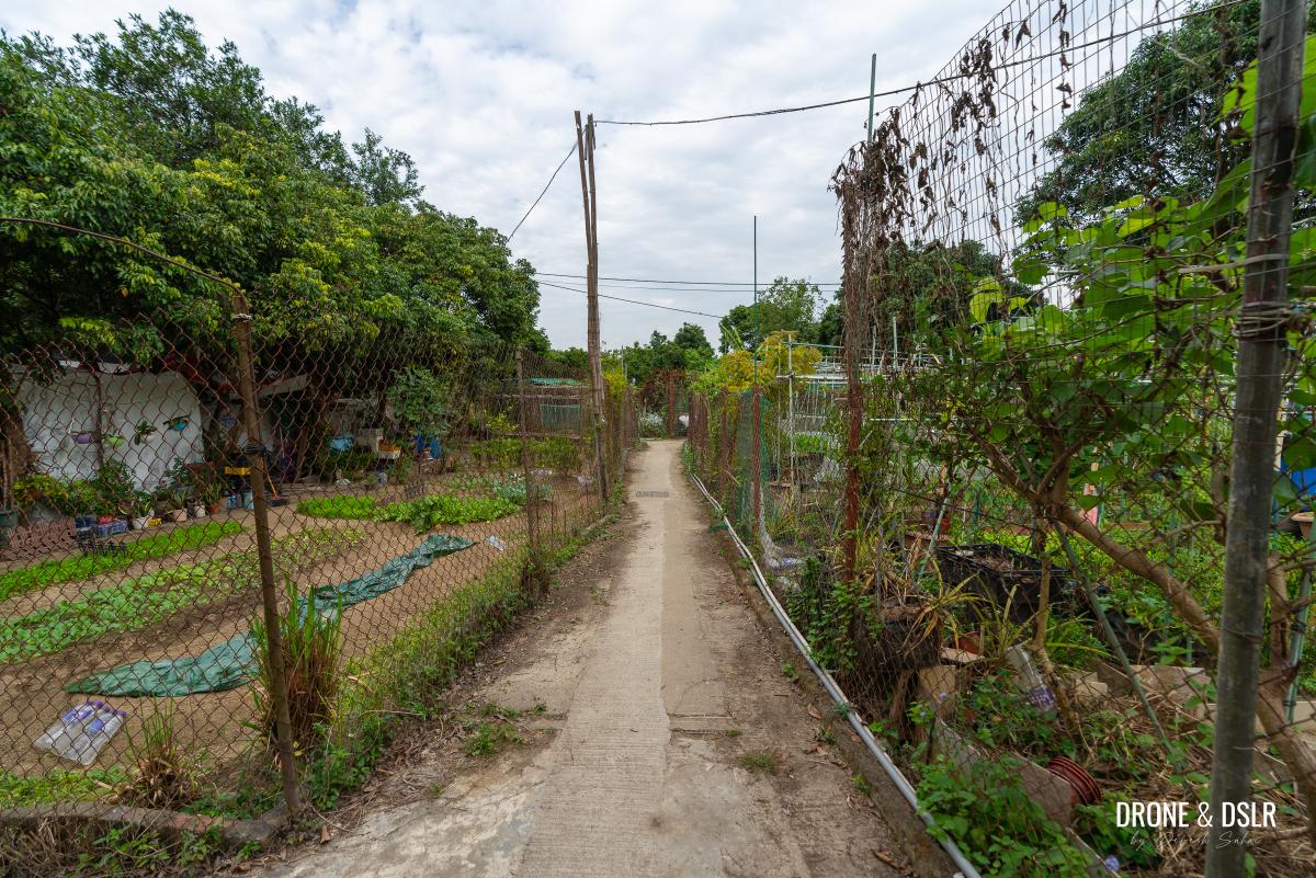
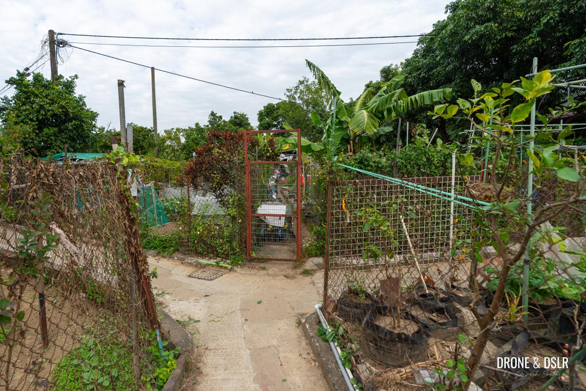
After crossing the first few houses, stay to the right of the path as it splits. Keep walking down this narrow village path as it passes houses, and small vegetable gardens on either side. After passing a few of these vegetable gardens, the path arrives a split. Once again, take the path on the right and follow it till it reaches another perpendicular path. Turn left here.
-
- Take the path on the right as you enter the village
-
- Walk down this narrow path with houses and farms on either side
-
- Stay on this narrow path
-
- At this point, turn right
-
- Continue walking past the houses and small farms on either side
-
- At this point, turn left as you start noticing signs for a Buddhist Temple
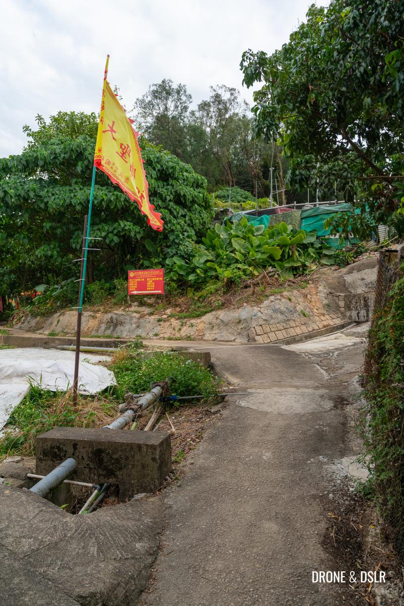
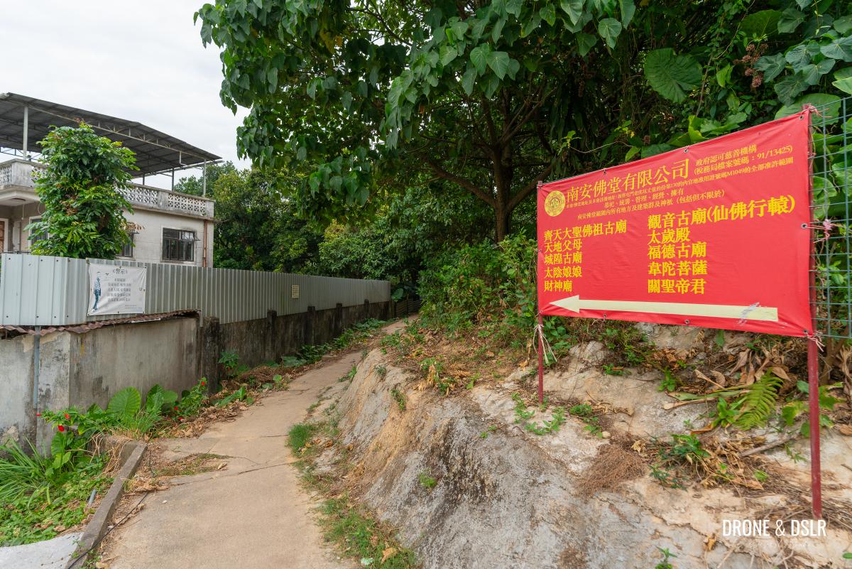
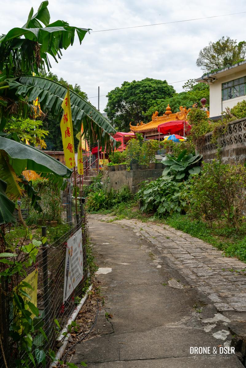
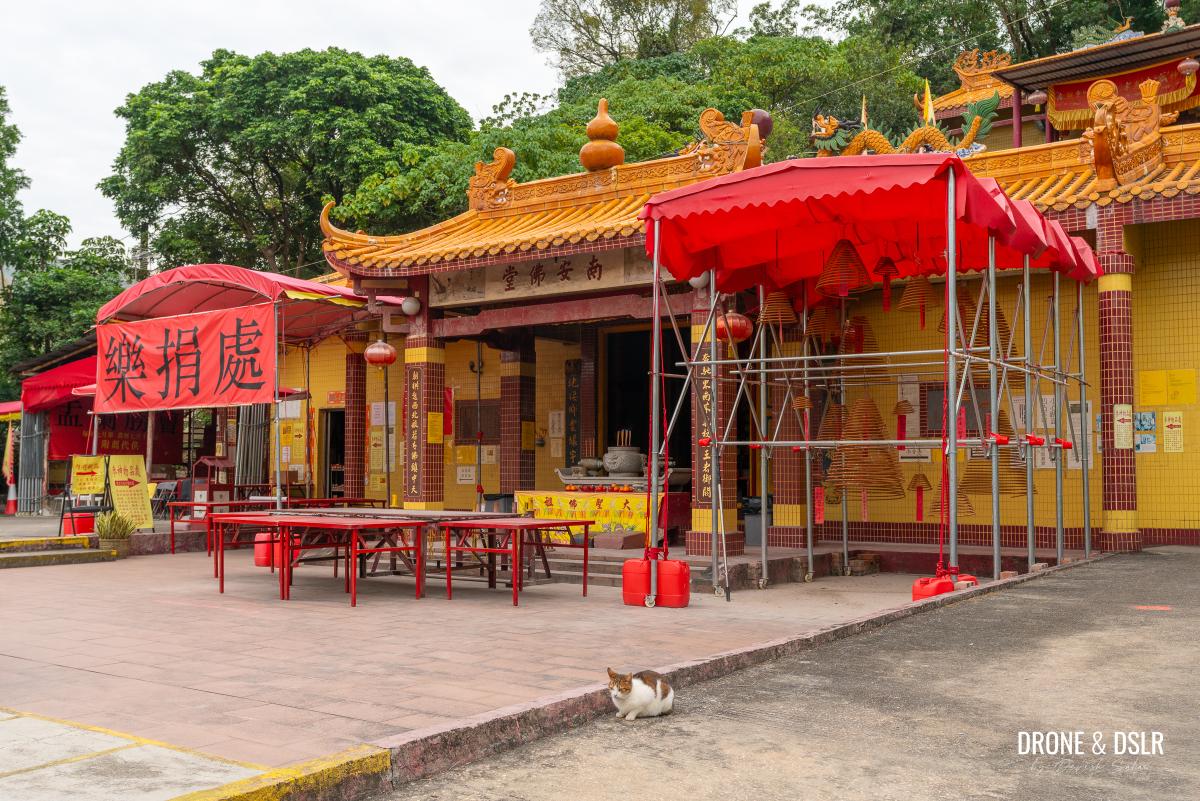
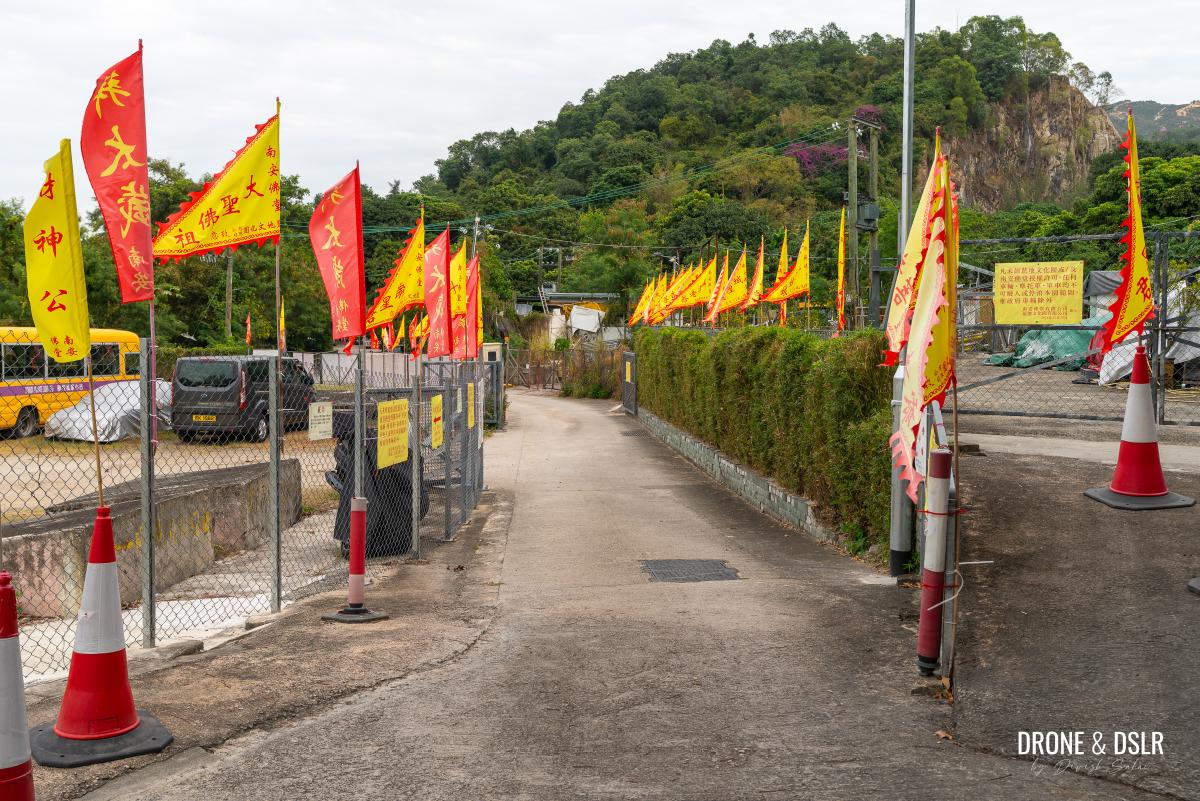
At this point, you might start noticing red flags, and banners for a Buddhist Temple. Follow the path, and the signs for the temple, as they lead you to a stairway that brings you out in front of the temple complex.
-
- Follow the signs for the Buddhist Temple
-
- You’ll soon notice the temple
-
- Walk up to the temple and continue down the path (did you notice the cat?)
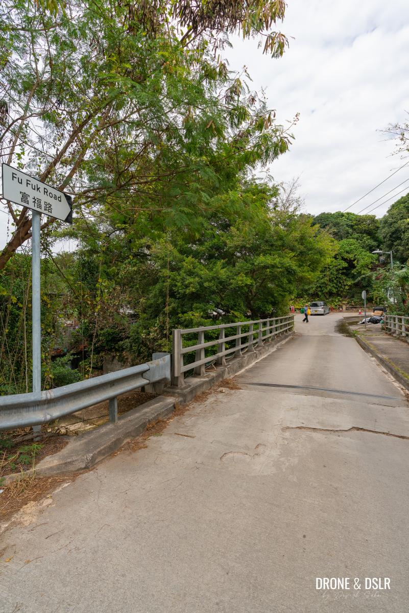
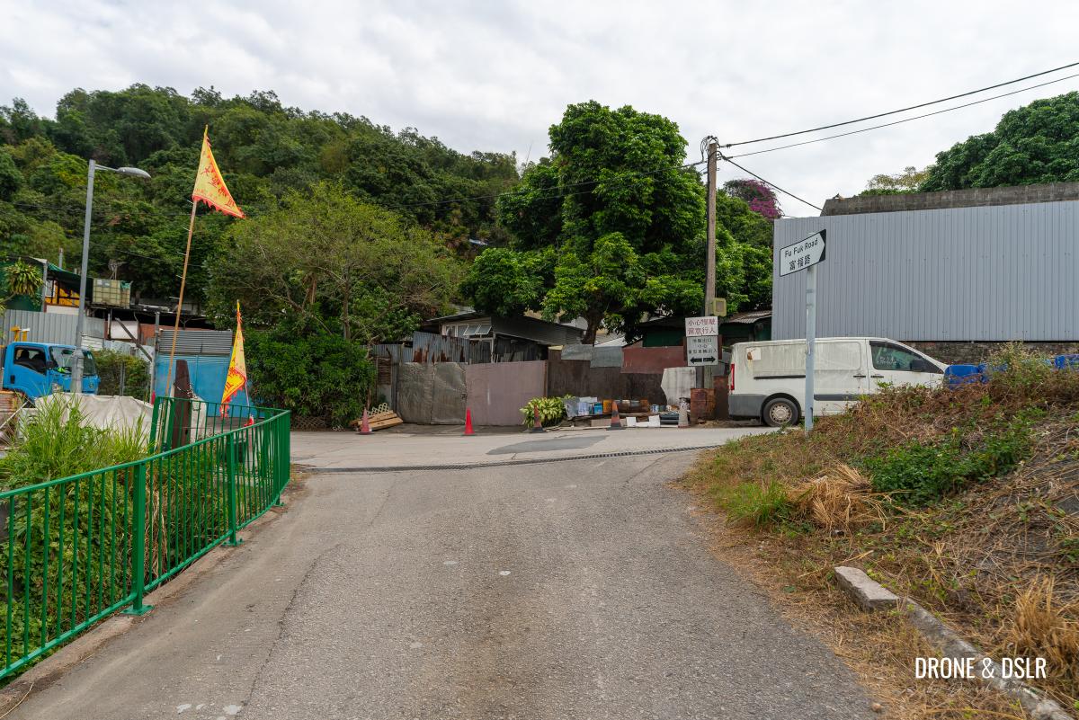
After you pay your respects at the temple, exit the complex onto Fu Fuk Road, and follow the incline up to the next three point crossing. Turn right and follow the road as it approaches the entrance to the Lam Tei Quarry.
-
- Follow the road as you leave the temple complex
-
- Walk down Fu Fuk Road
-
- The road curves up this ramp ahead
-
- At the end of the road, turn right and keep walking up the ramp
-
- When you arrive at the Lam Tei Quarry, follow the narrow path on the right
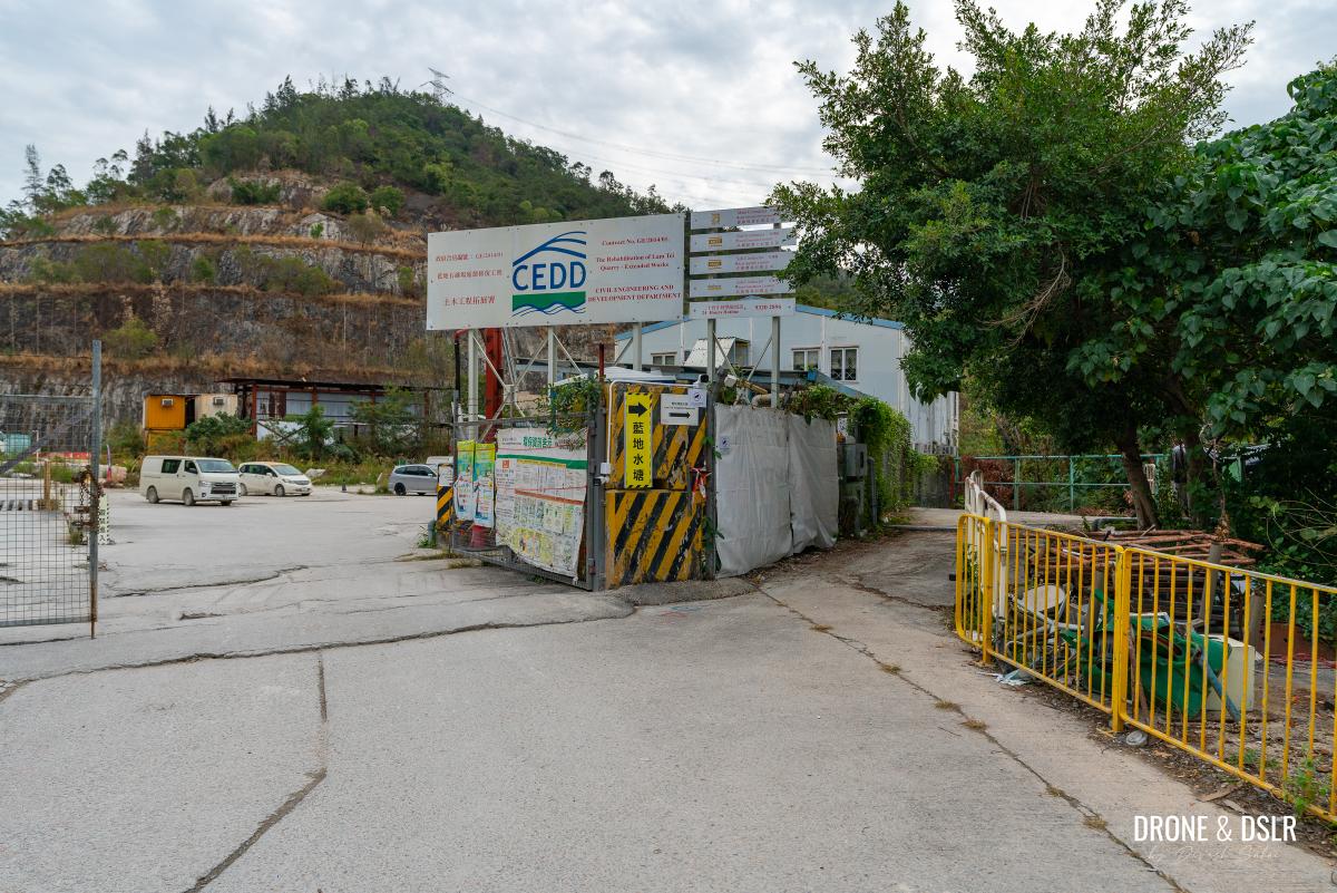
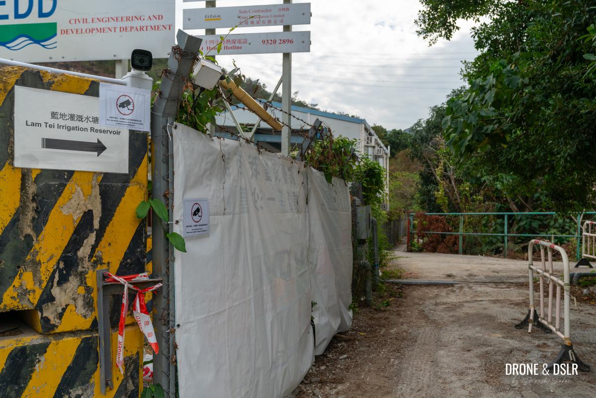
The final approach to the Lam Tei Irrigation Reservoir starts from the path that slips from the side of the entrance of the quarry. Simply follow the signs pointing you in the direction of the reservoir. The road leads you onto a paved pathway running above the Fu Tei Stream.
-
- Signs for the Lam Tei Irrigation Reservoir should be visible
-
- Walk down this peaceful path after the quarry
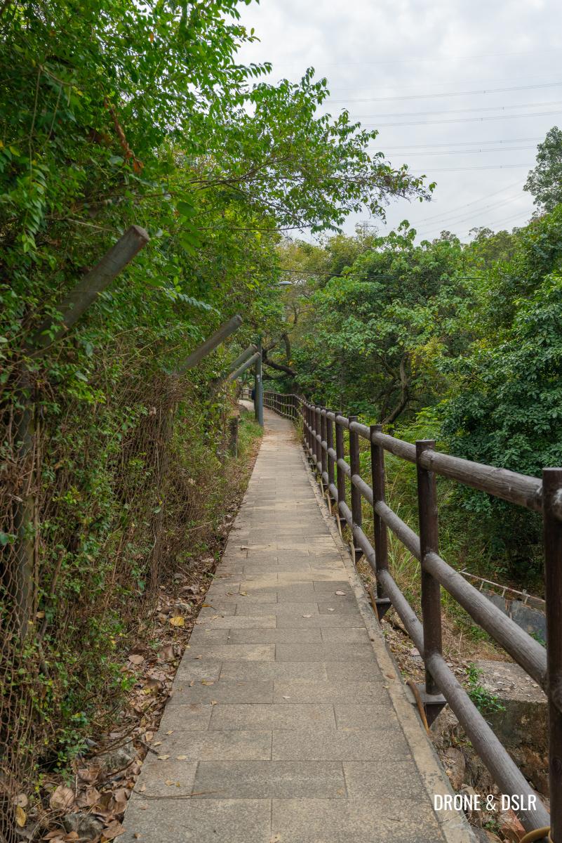
Keep walking down the path till you reach a flight of steps on the left. Climb the steps, which finally bring you to the Lam Tei Irrigation Reservoir Dam.
-
- At the end of the path, turn left and walk up the steps to the dam
-
- And you’re almost at the Lam Tei Irrigation Reservoir dam
-
- Welcome to the Lam Tei Irrigation Reservoir, your hike starts now!
Now that was a long way to get to the start of the Fu Tei Country Trail!
Lam Tei Irrigation Reservoir
The Lam Tei Irrigation Reservoir (sometimes also known as Lo Fu Hang Reservoir or Lam Tei Reservoir) is situated within a rugged valley west of Lam Tei Quarry. Its dam stands 23 meters tall and holds approximately 24 million gallons of water. The construction of this dam was carried out simultaneously with the nearby Hong Sui Hang dam in an adjoining valley. Building efforts began in 1956, and the reservoir was finally completed by March 1957.
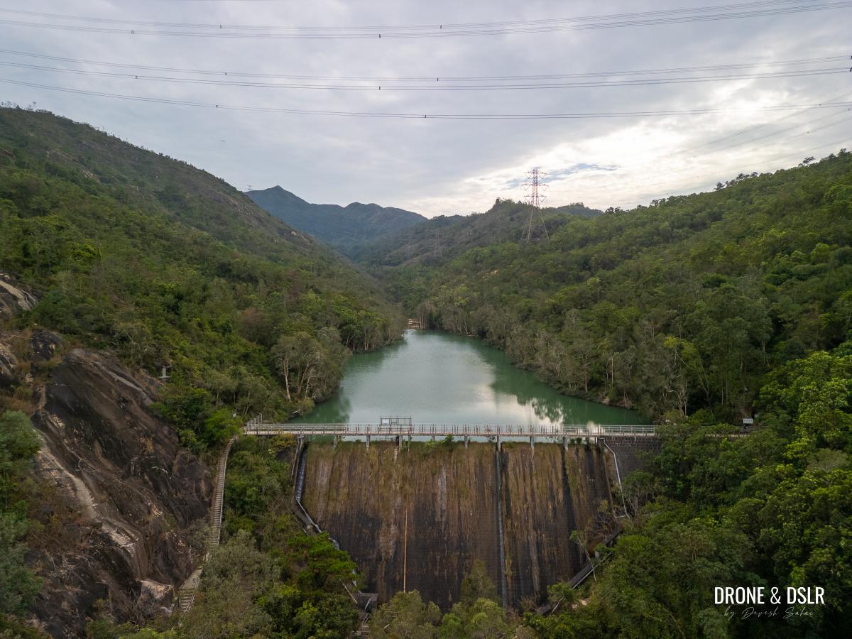
Lam Tei Irrigation Reservoir
Although the reservoir witnessed a terrible tragedy in 2002, it has played a vital role supporting the farming community in the Tuen Mun area.
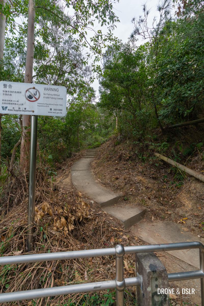
Today, the remote location and peaceful nature of the reservoir, attracts many people to fish or hike in the surrounding area.
Such a peaceful place – Lam Tei Irrigation Reservoir
After taking so long to arrive here, I decided to enjoy a break, admiring the calming and soothing nature of the reservoir.
Along The Reservoir – Easy, Scenic, But Too Many Pipes
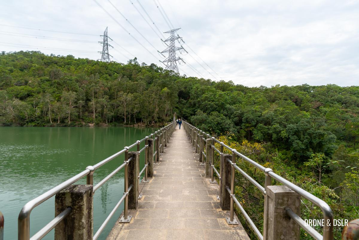
The Fu Tei Country Trail starts from the other end of the dam. Once you cross the dam, follow the steps that land at the trail above. At the landing, turn left and follow the signs for the Fu Tei Country Trail.
-
- The Fu Tei Country Trail starts from the other end of the dam
-
- Walk up these steps on the other side of the dam
-
- Turn left and follow the signs for the Fu Tei Country Trail
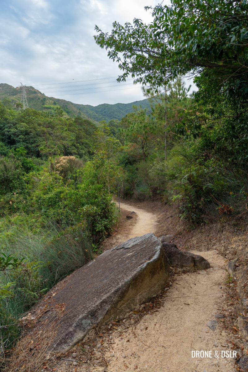
The initial section of the Fu Tei Country Trail runs along the reservoir. Although the water isn’t accessible at this elevation, the views are quite beautiful.
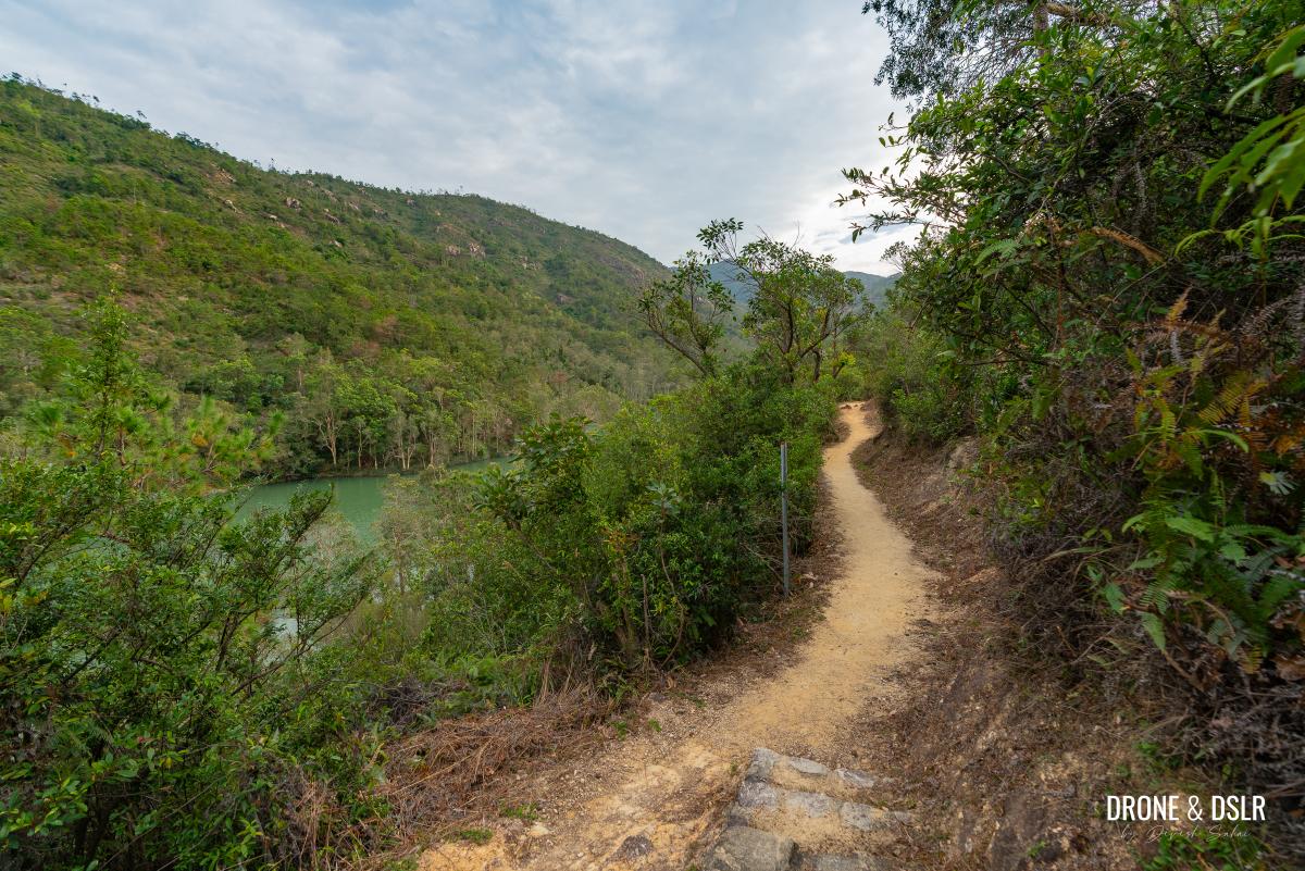
The initial section of the Fu Tei Country Trail is flat with views of the reservoir below
The Lam Tei Irrigation Reservoir occupies the narrow valley between the hills, and when the sun hits it at the right angle, it illuminates the whole area. As you walk along the Fu Tei Country Trail, you’ll have ample opportunities to admire the reservoir from this height.
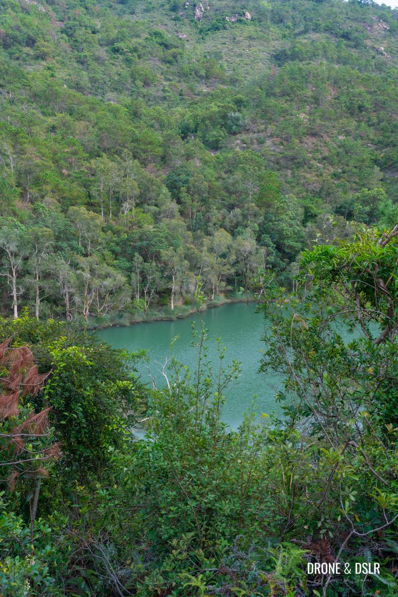
The views of the Lam Tei Irrigation Reservoir from the trail are very pretty
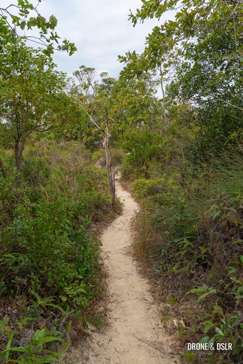
The trail during this stage is also easy to navigate as it remains mostly flat. However, that changes ahead but not in a way you’d expect.
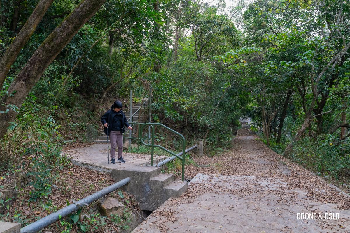
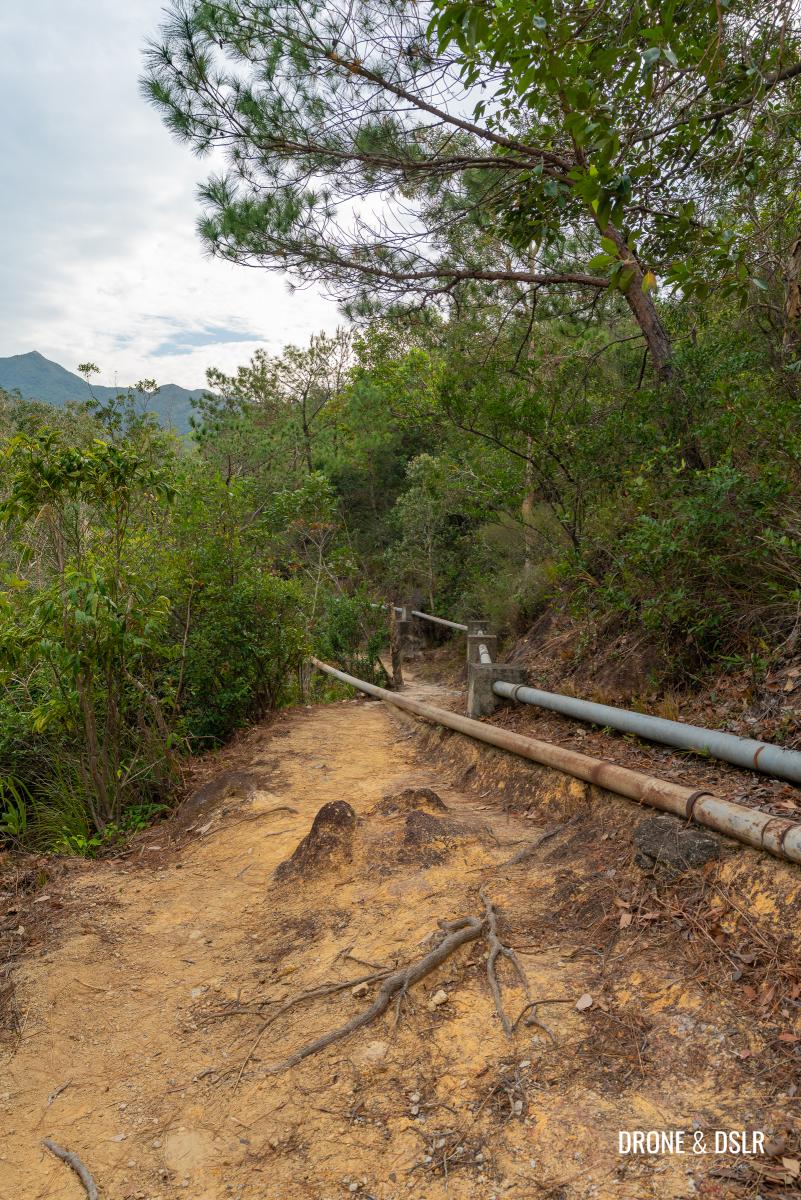
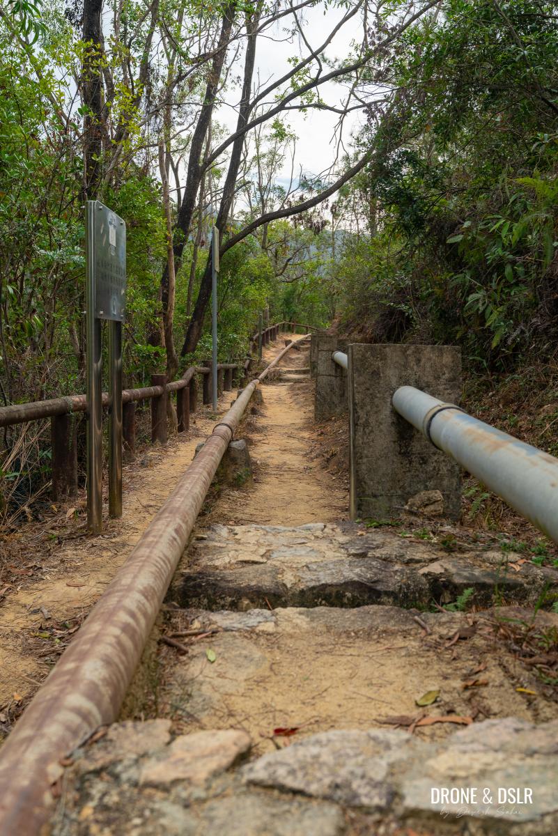
A few minutes into the trail, you’ll notice water pipes, presumably carrying water from the reservoir, overlapping with the Fu Tei Country Trail. At first, it isn’t too bad, but when the pipes start crisscrossing along the trail, it not only gets cumbersome to navigate, but also becomes an eyesore.
-
- Suddenly, these pipes appear
-
- The pipes occupy most of the Fu Tei Country Trail
-
- The trail is easy, but the pipes are an eyesore and tripping hazard
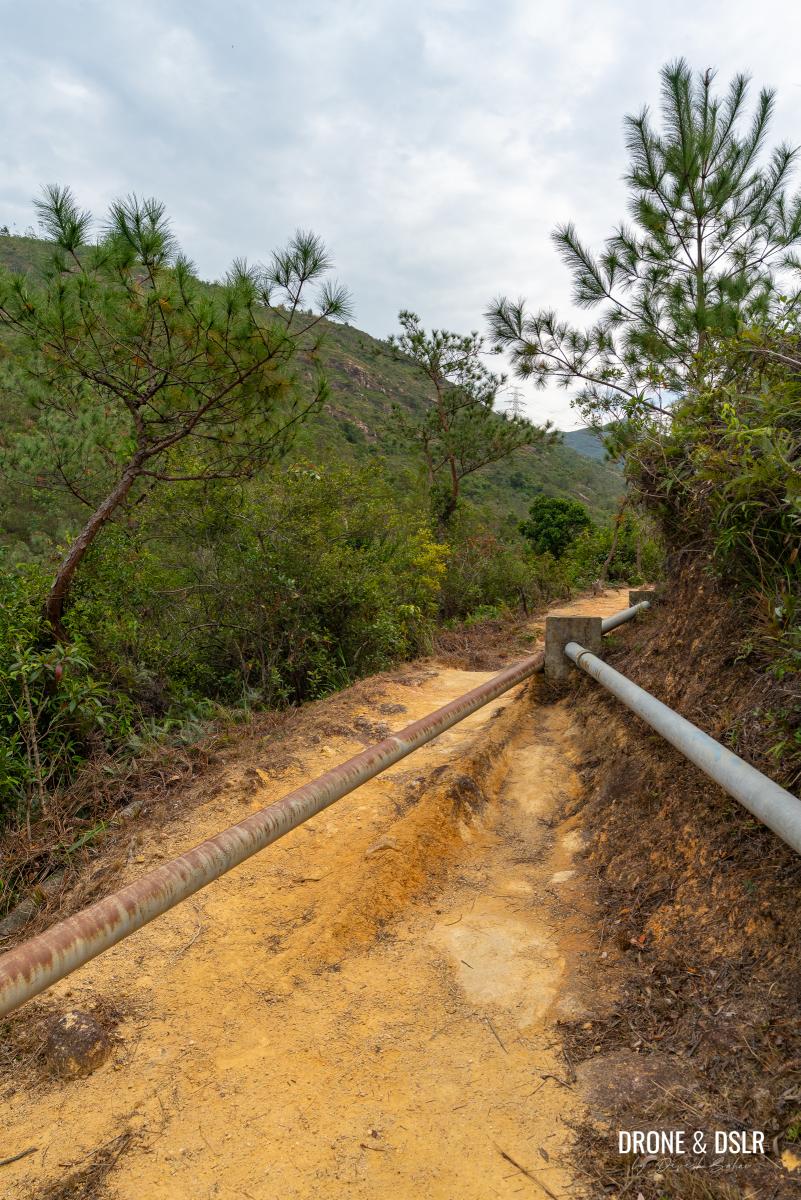
I had to keep hopping over the pipes which distracted me from the views of the reservoir and valley.
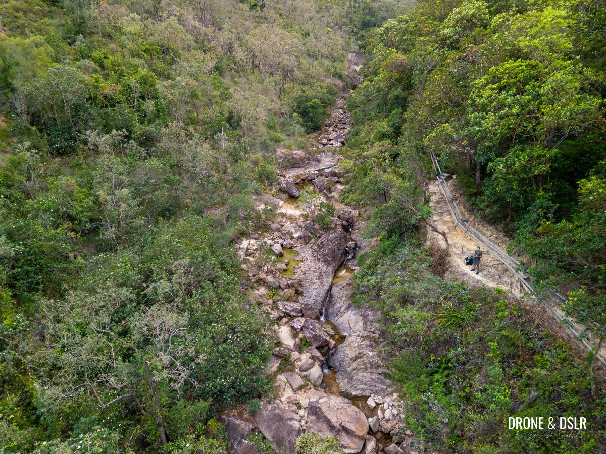
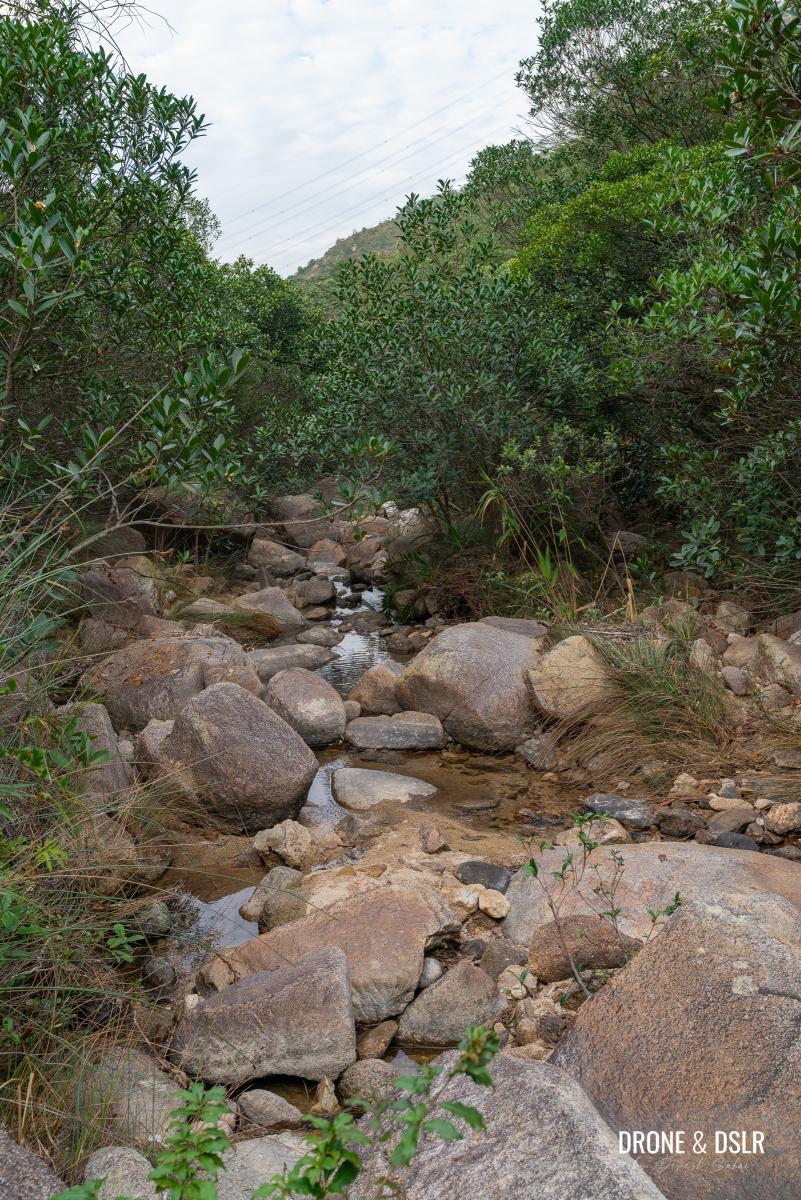
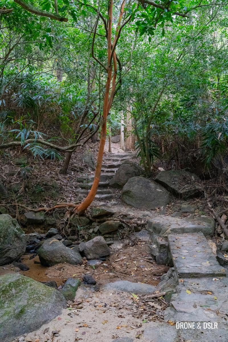
As you continue walking, the valley begins to narrow, bringing the hills on either side closer together. At this point, depending on the season, you may encounter the Fu Tei Stream in full force, or a gentle flow in the gorge. And even though it might be tempting to descend at this stage, it’s probably best to carry on. There are plenty of opportunities ahead.
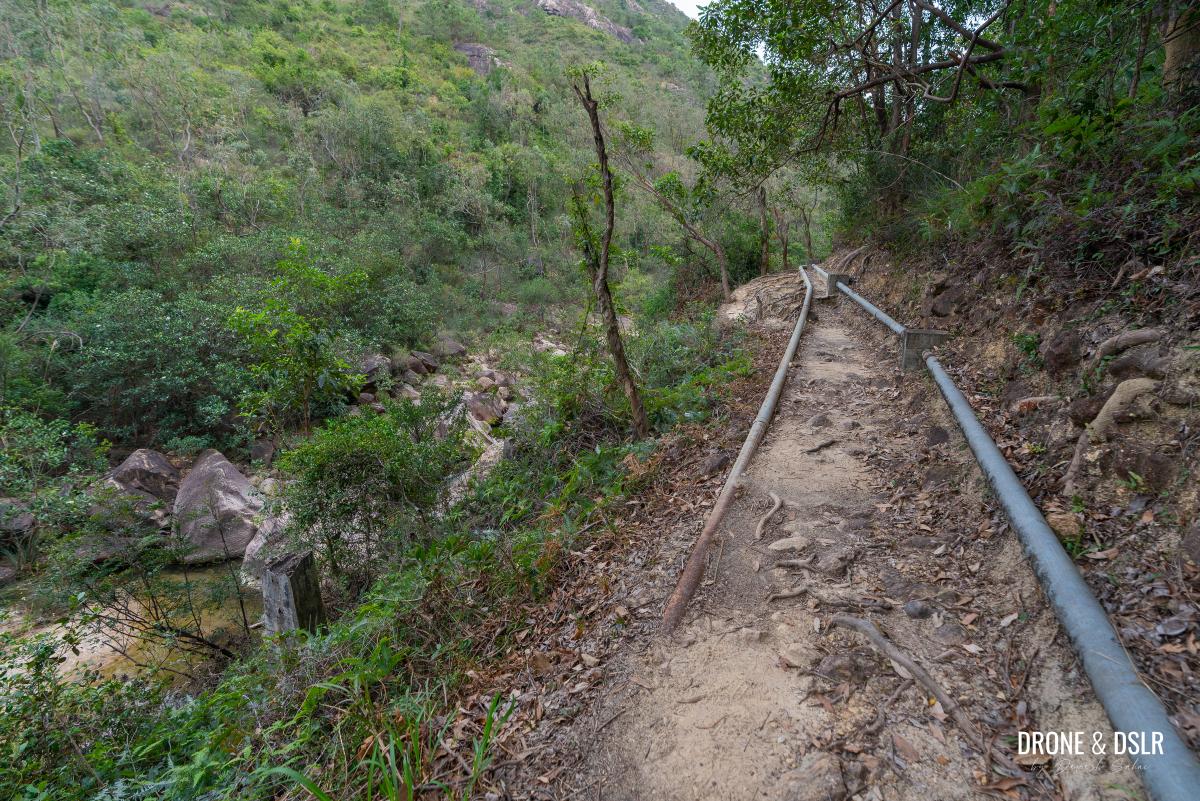
The trail slowly moves away from the reservoir and reaches the gorge with the Fu Tei Stream
The Serene Section – Bamboos & Stream
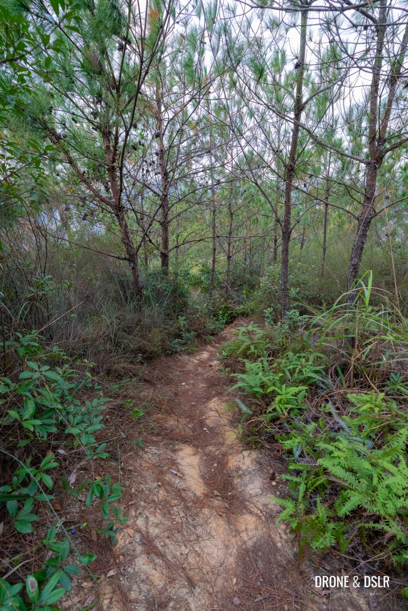
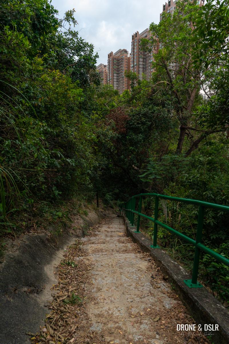
As the pipes disappear, so do the views of the gorge and the stream. And a canopy of trees engulfs the trail as it begins a gentle uphill incline.
-
- The trail then moves away from the gorge and the pipes also go away (thankfully)
-
- Keep following the Fu Tei Country Trail
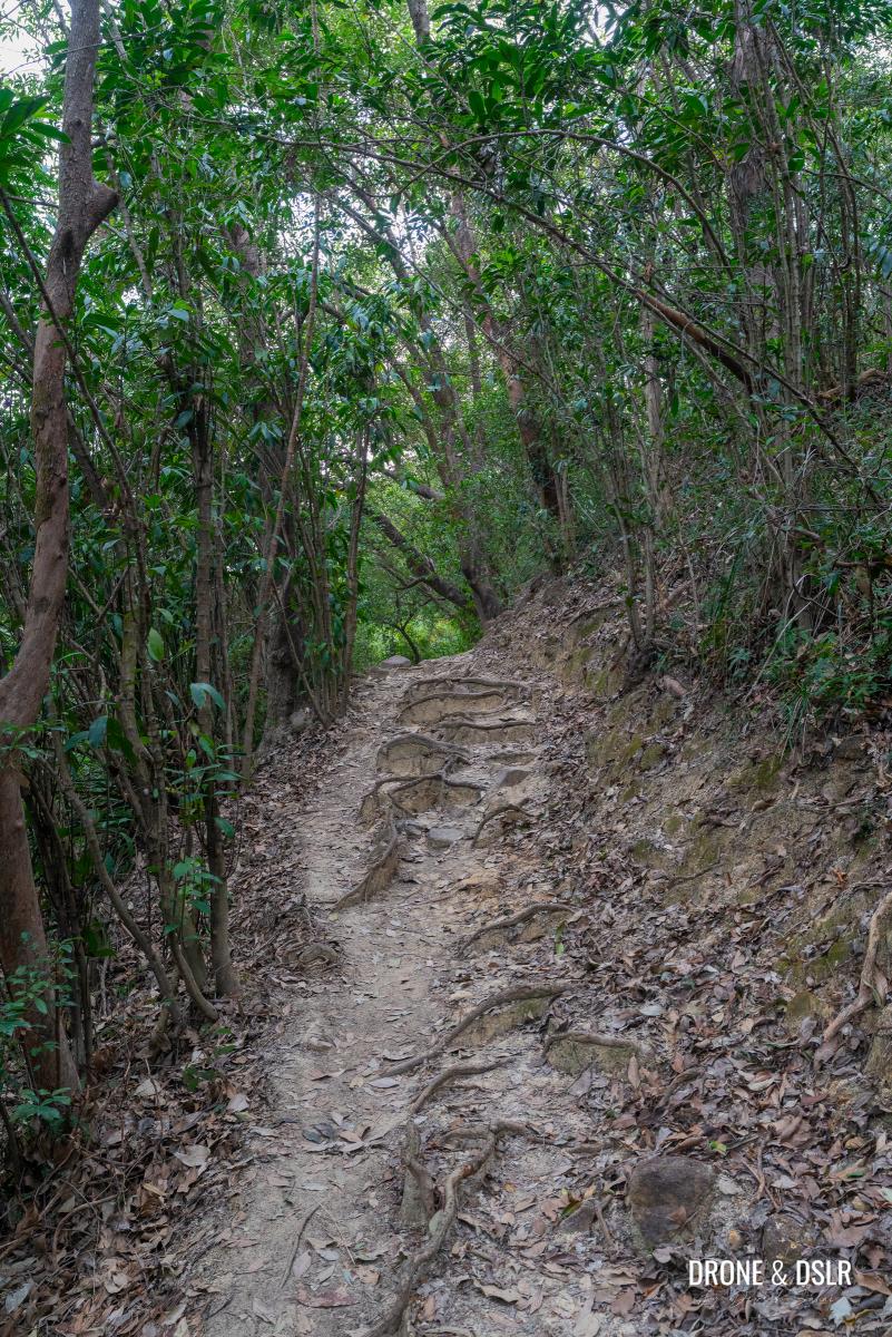
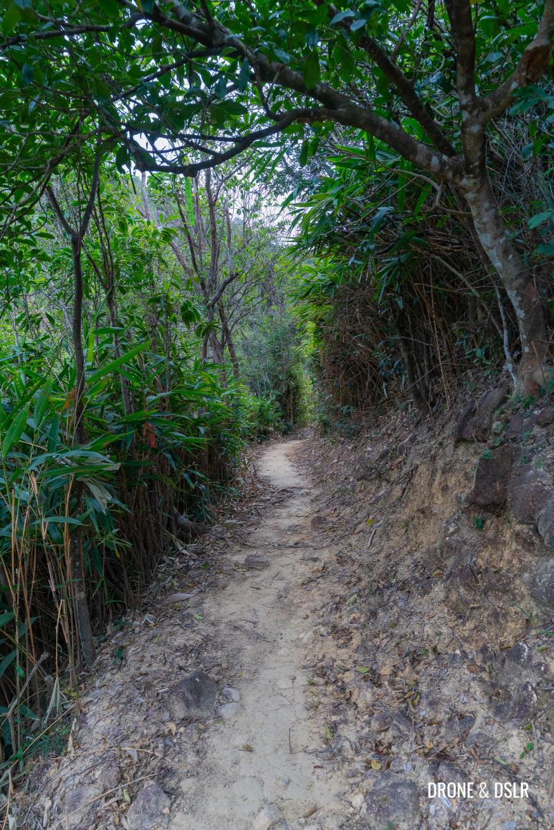
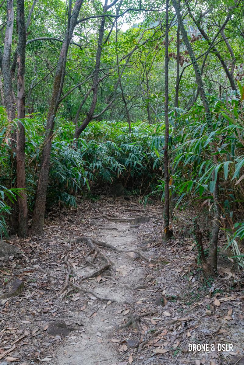
Further ahead, the canopy thins out as it gets replaced by bamboos. As you continue on the Fu Tei Country Trail, the sound of the stream accompanies you, even if the views don’t.
-
- There’s minimal climbing at this stage of the hike

-
- Fu Tei Country Trail continues to be easy
-
- Now approaching the area with the bamboos
You may notice a few shortcuts to the stream on the side of the trail. Feel free to check out the stream, but there are plenty of opportunities ahead to admire the stream without the need to bushwhack.
In fact one such point comes soon, where a stream cuts across the Fu Tei Country Trail. I took this opportunity to quickly splash my face to cool off before hopping over to the other side.
The stream cuts across the Fu Tei Country Trail
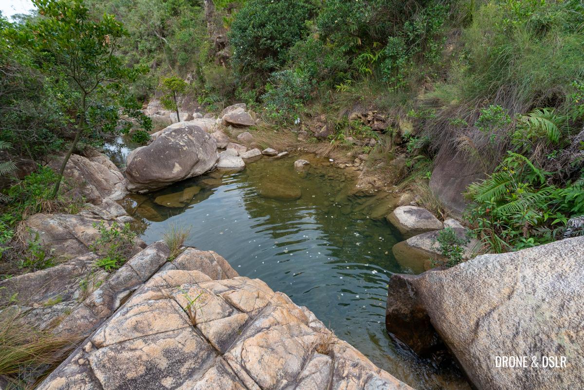
A short distance ahead, the trail clears up, and you might notice a small cascade gushing into a pool. And even though I wasn’t at all tired at this point, I took a moment to sit beside the cascade to enjoy the peace and quiet.
-
- The cascades flowing into the pool
-
- Further ahead is this nice little pool on the side of the Fu Tei Country Trail
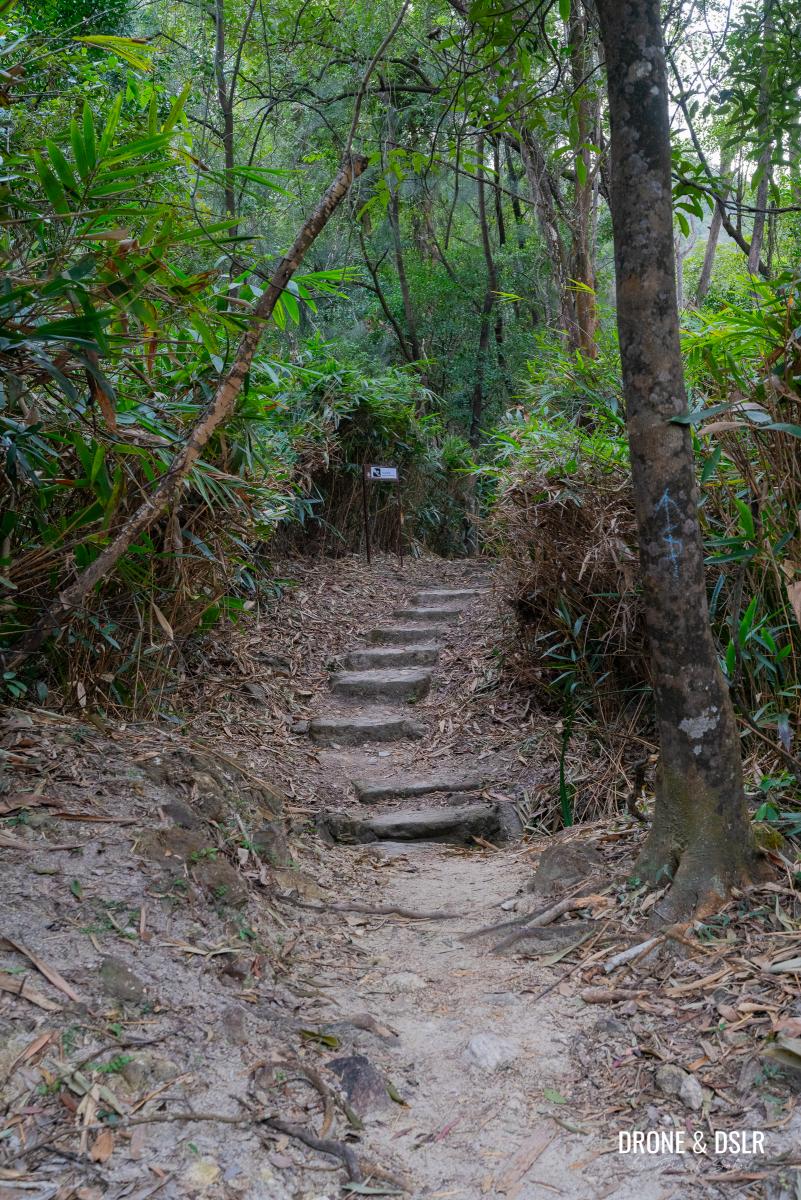
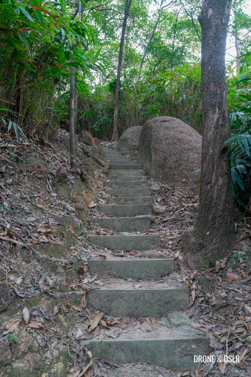
A Short Climb
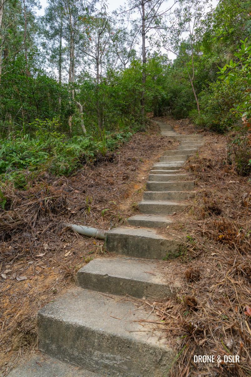
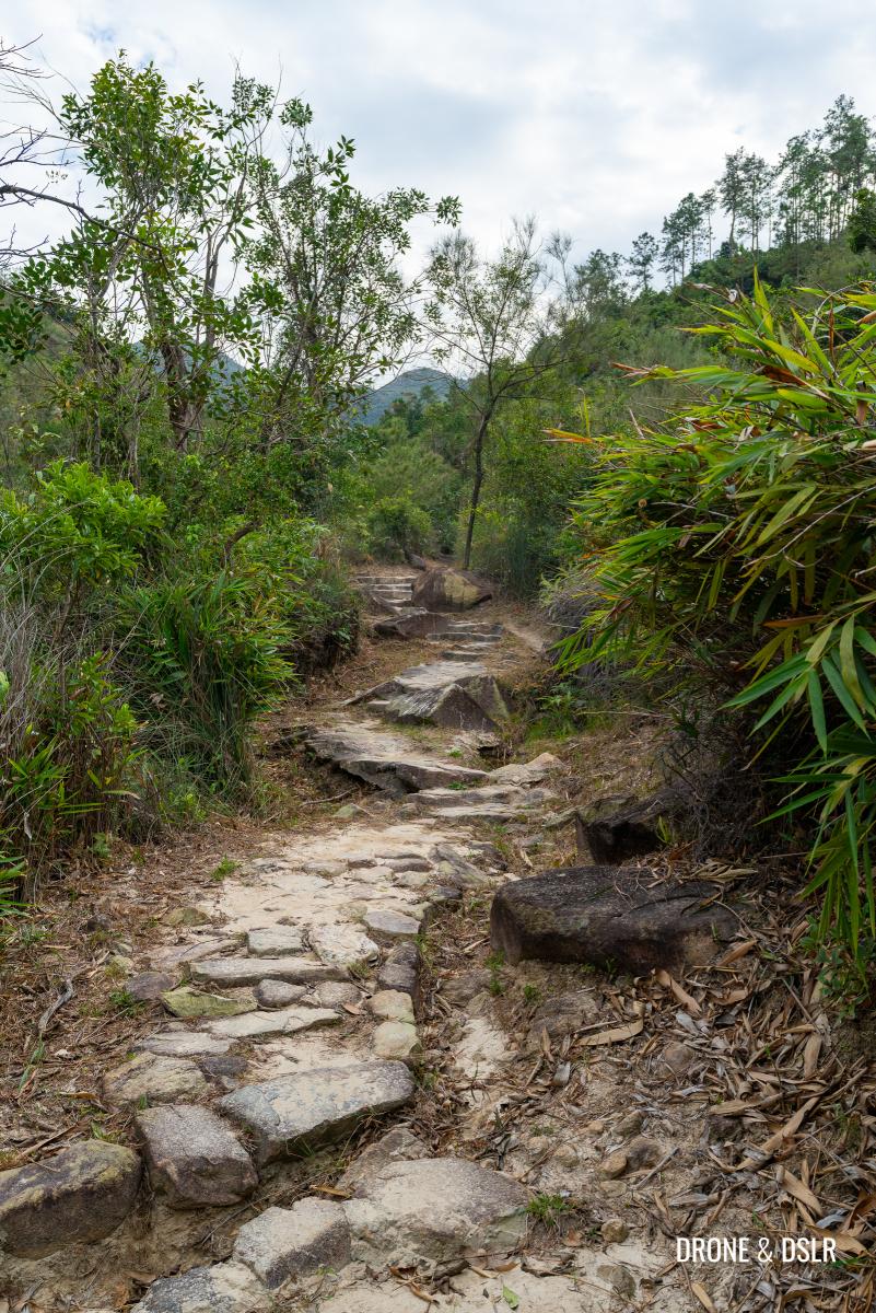
Up till now, the hike is relatively very easy. But the cascades hint to an upcoming incline.
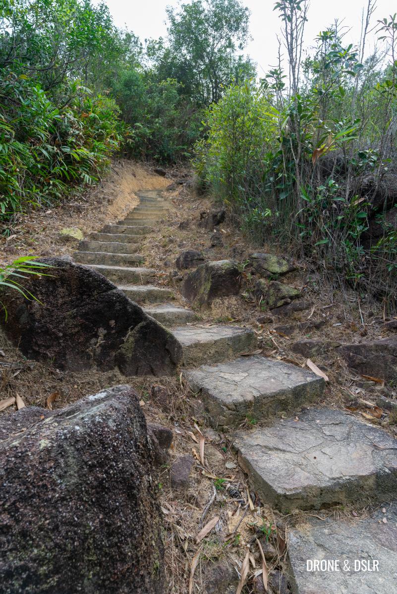
The first climb of the Fu Tei Country Trail comes after the small pool
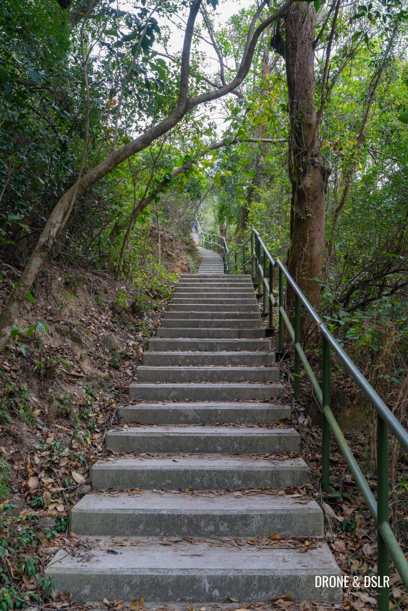
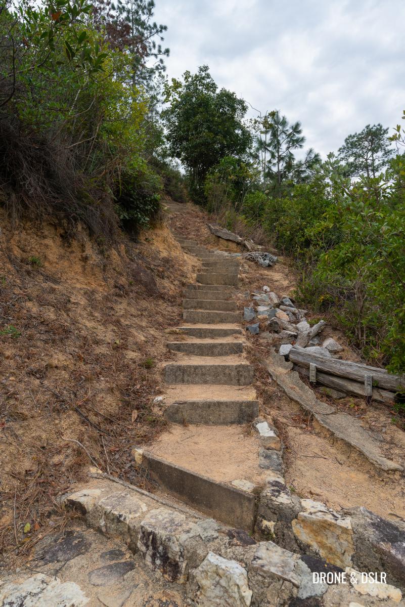
As you continue following the trail from the cascades and pool, you’re greeted by an easy but steady flight of steps.
The climb is fairly gentle
When the steps end, the trail flattens. Once again, I was reminded what a peaceful and serene hike the Fu Tei Country Trail is.
-
- The trail flattens quickly after the steps
-
- The trail is still easy and scenic at this stage
And in case you were thinking that you’d left the Fu Tei Stream below, think again.
Fu Tei Stream Returns
I was pleasantly surprised when I saw the stream again, and this time closer than before. I honestly thought that the stream has been left behind after the climb.
-
- And even after the climb, the Fu Tei Stream returns
-
- The stream is prettier in this section of the hike
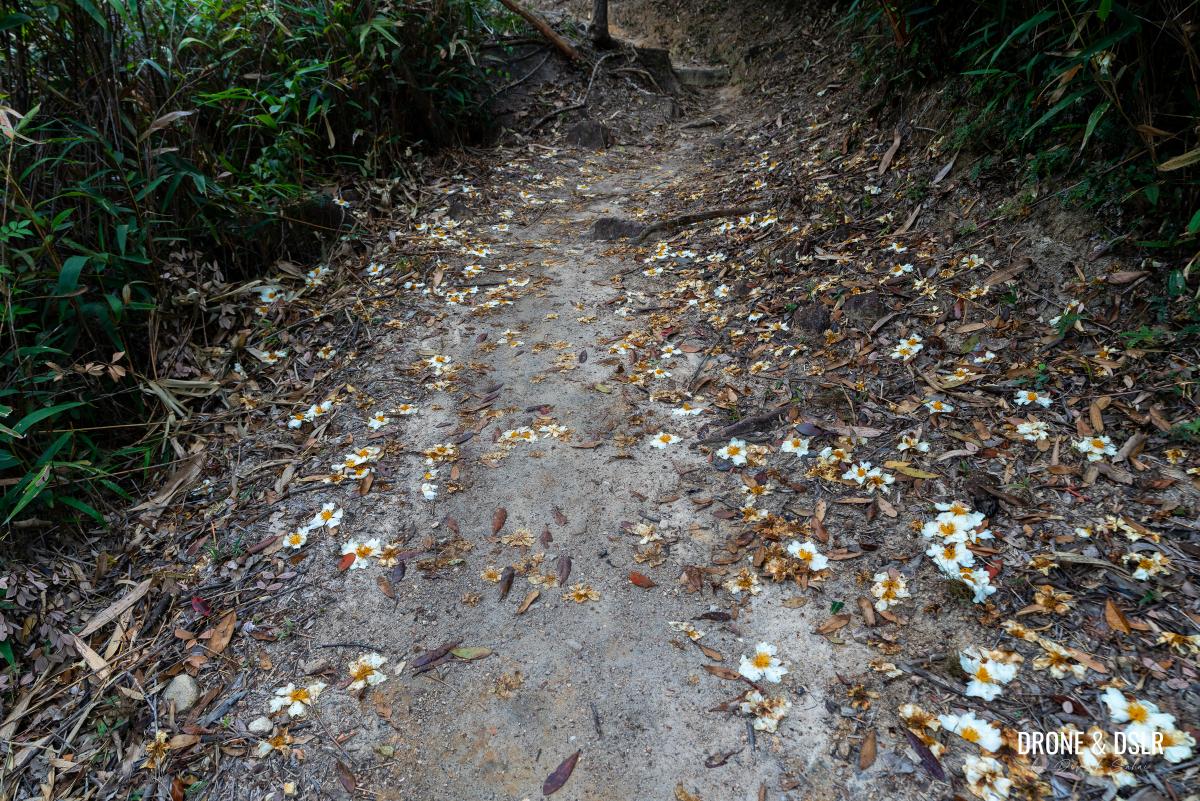
Once again, this section of the Fu Tei Country Trail is quite beautiful and serene with the stream and trail littered with hundreds of fried-egg flowers (polyspora axillaris).
-
- The Fu Tei Country Trail was littered with hundreds of these fried egg flowers
-
- Keep following the trail
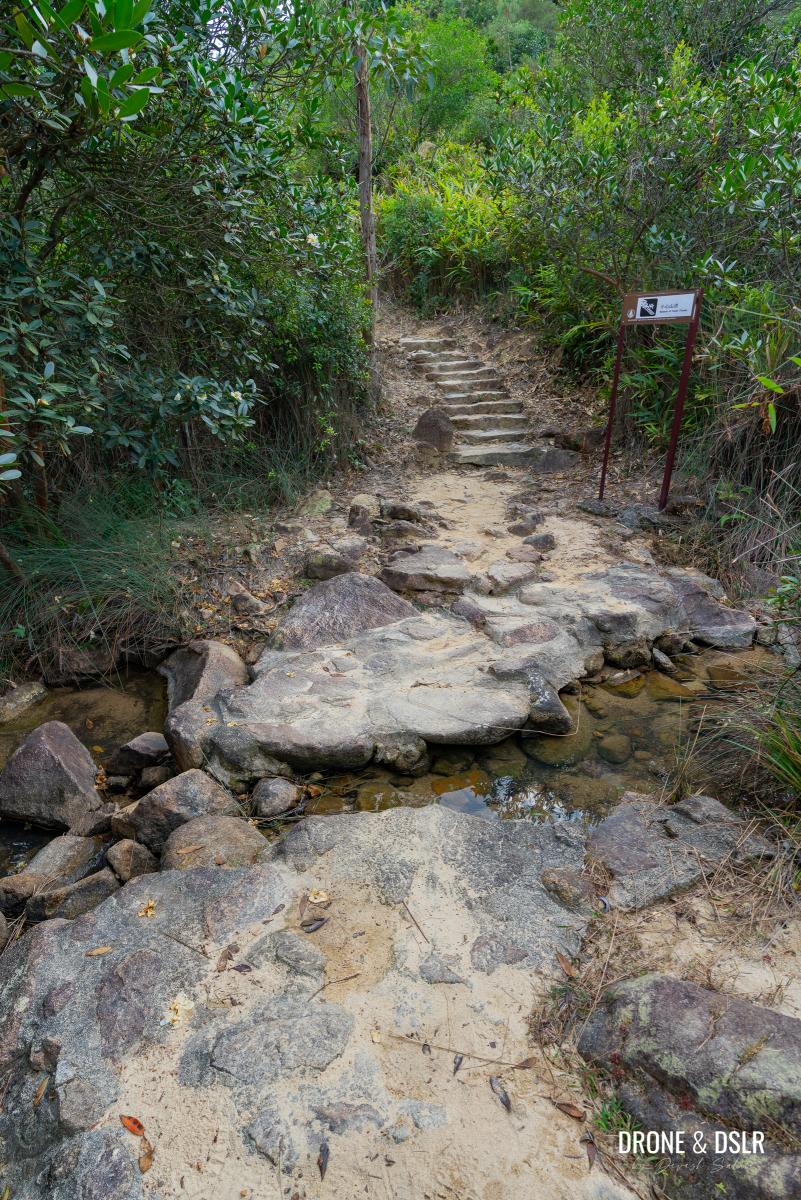
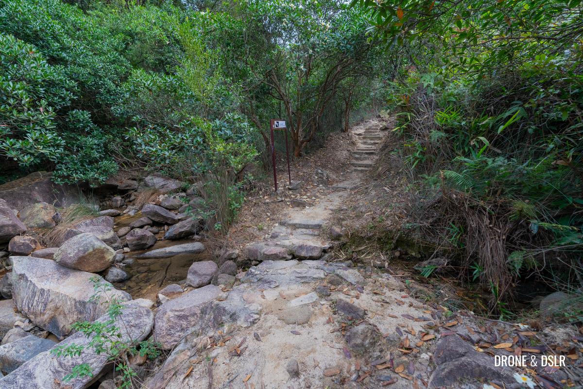
After running along the stream for a while, the trail then cuts across it to the opposite side.
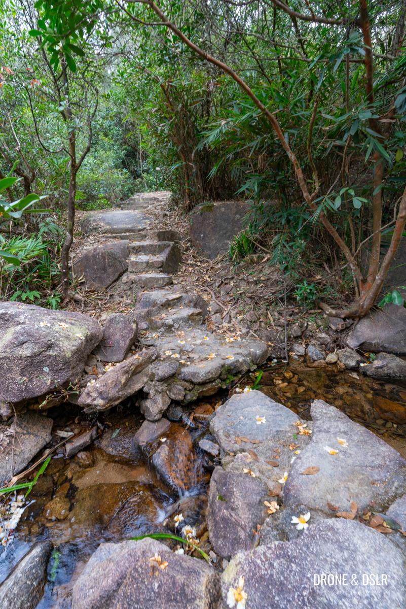
Once again, the Fu Tei Stream cuts across the trail (so pretty)
Once on the opposite side, the trail follows a dense canopy of trees, till it crosses the stream back to the original side. And what follows next, is the only challenging climb of the entire hike.
-
- Now the trail runs along the other side of the stream
-
- Keep following the trail as it passes under this dense canopy of trees
-
- And then the trail cuts the stream back to the other side
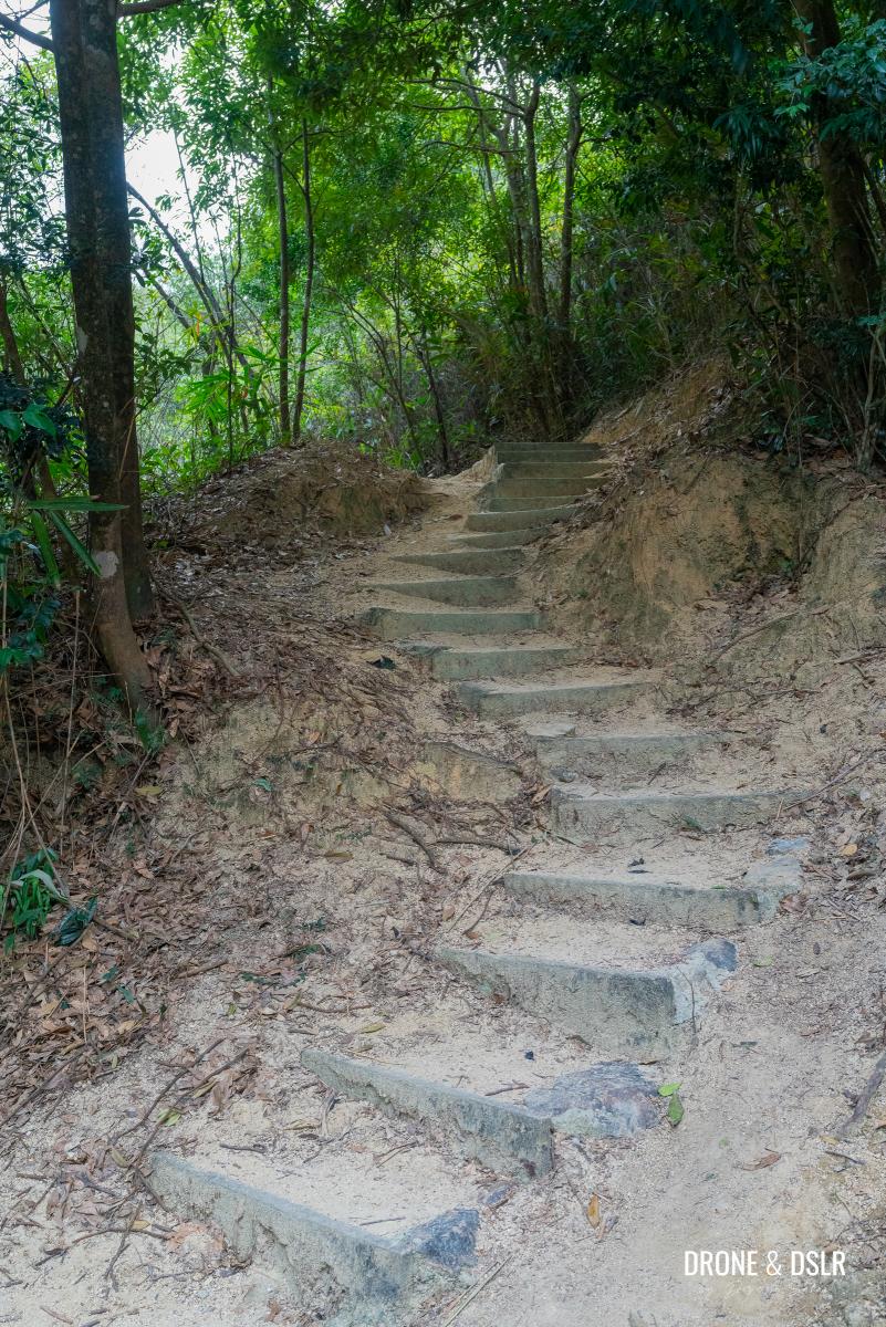
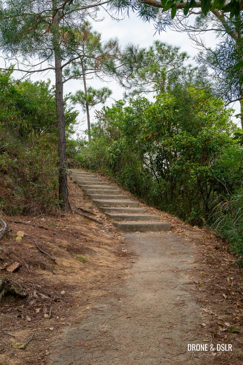
The Challenging Climb To The Pavilion
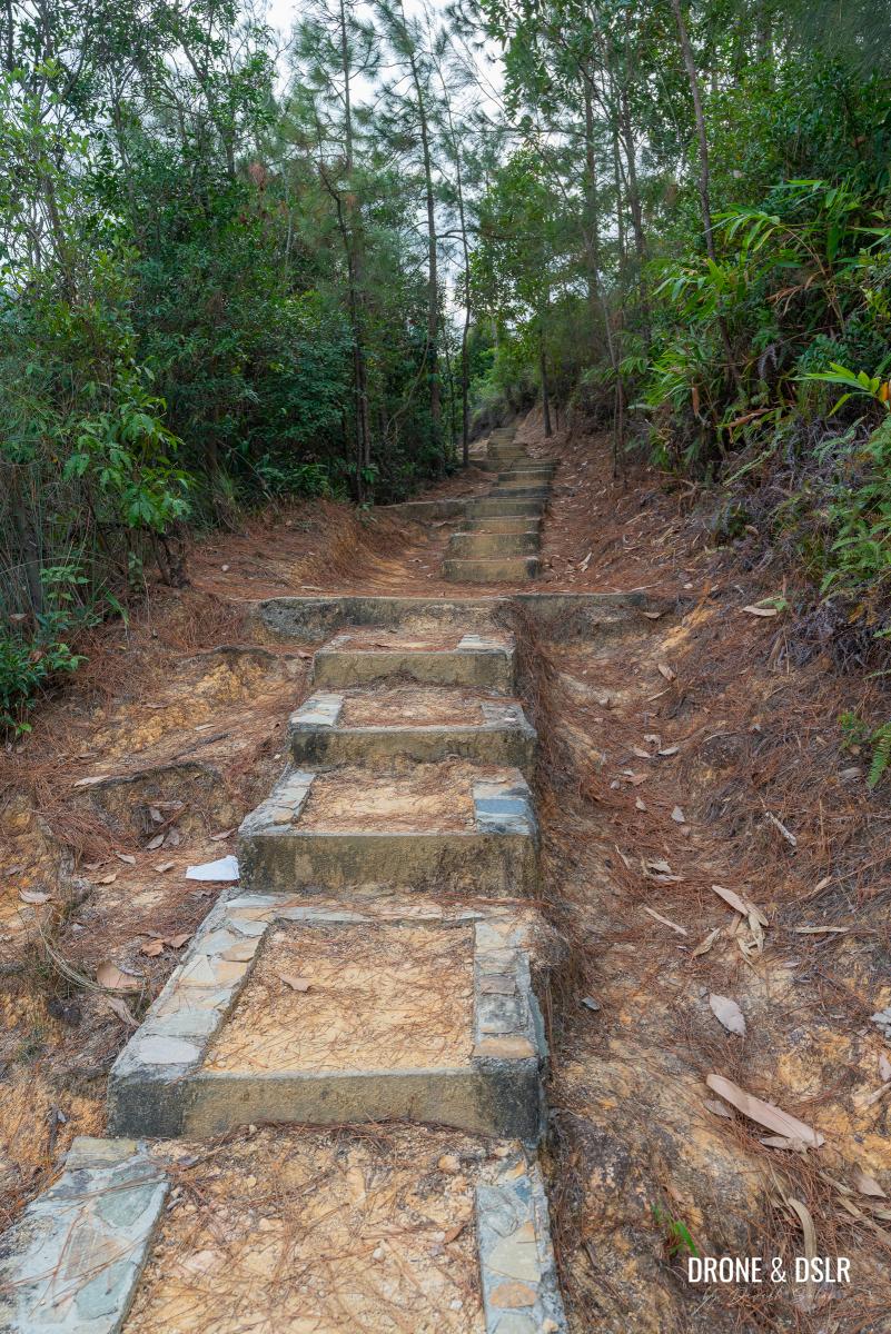
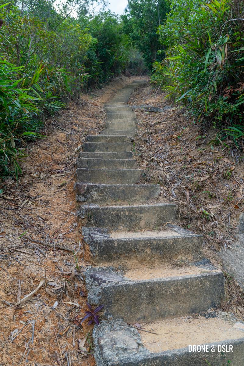
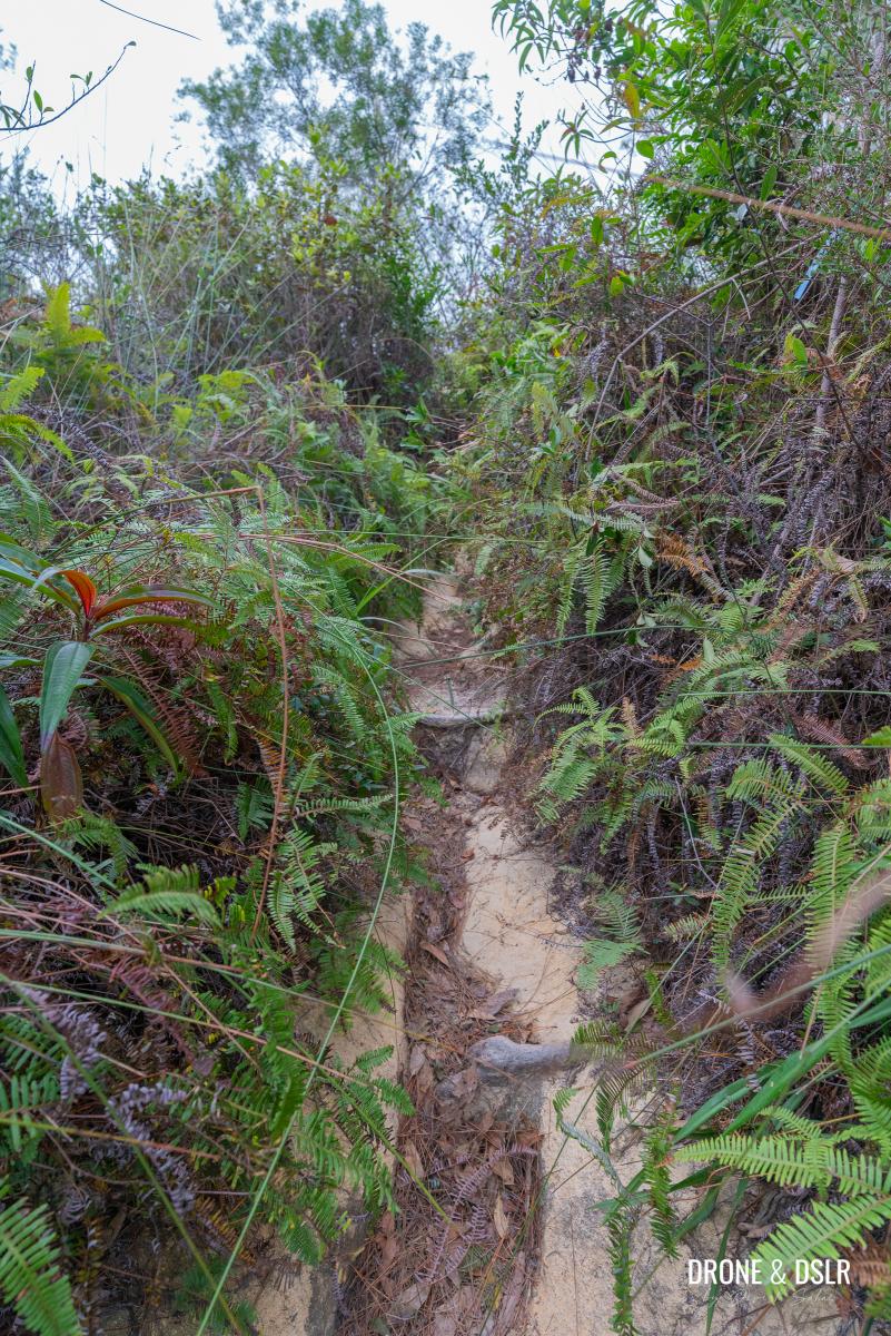
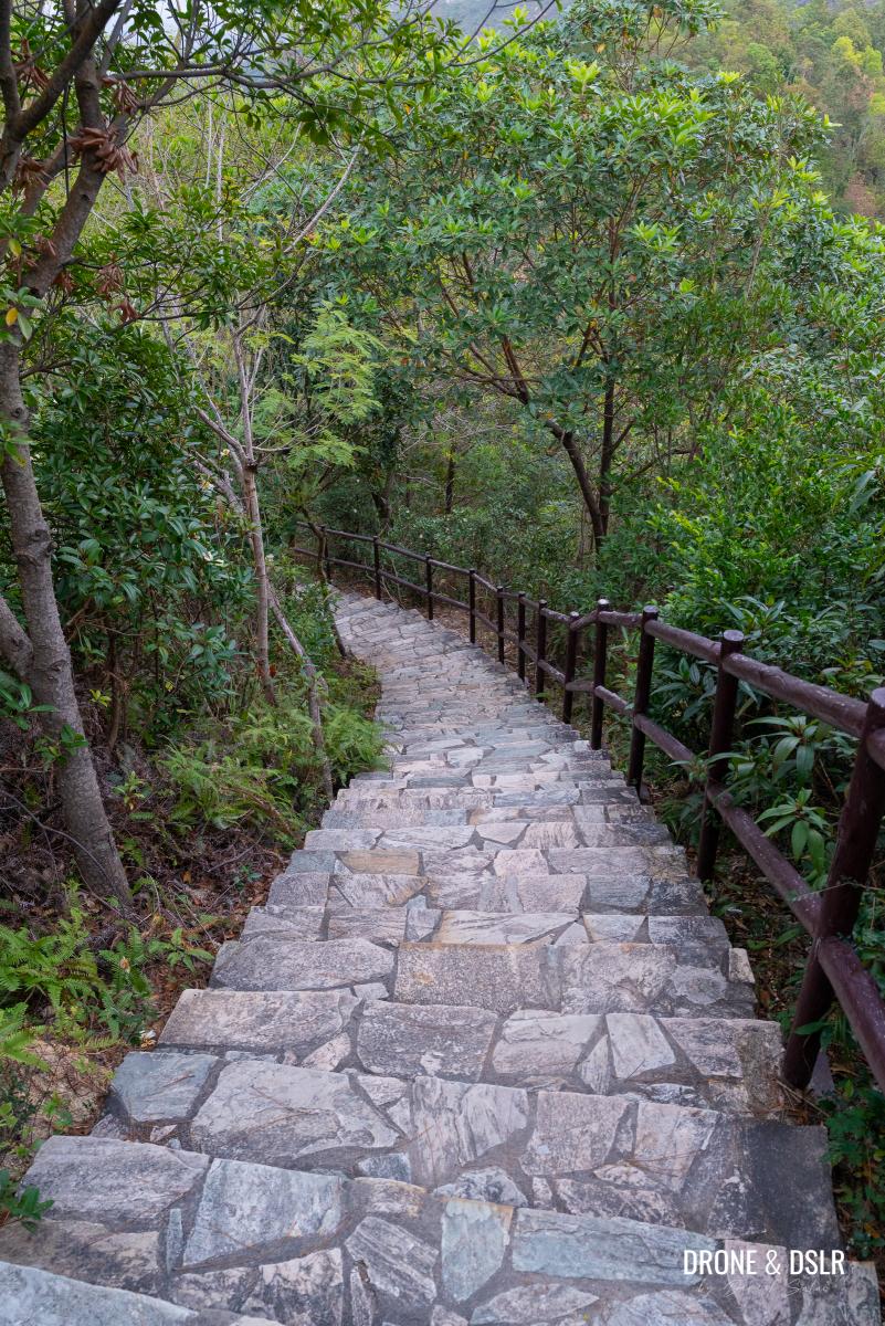
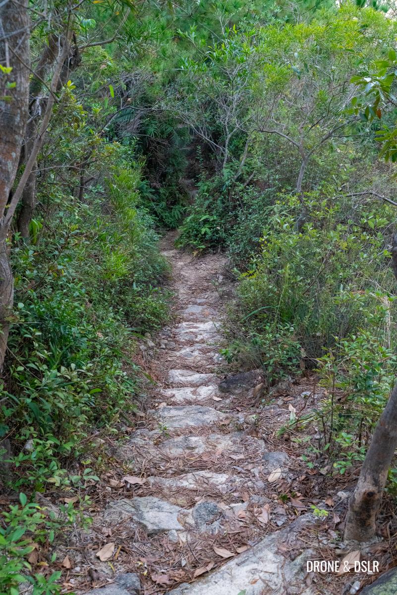
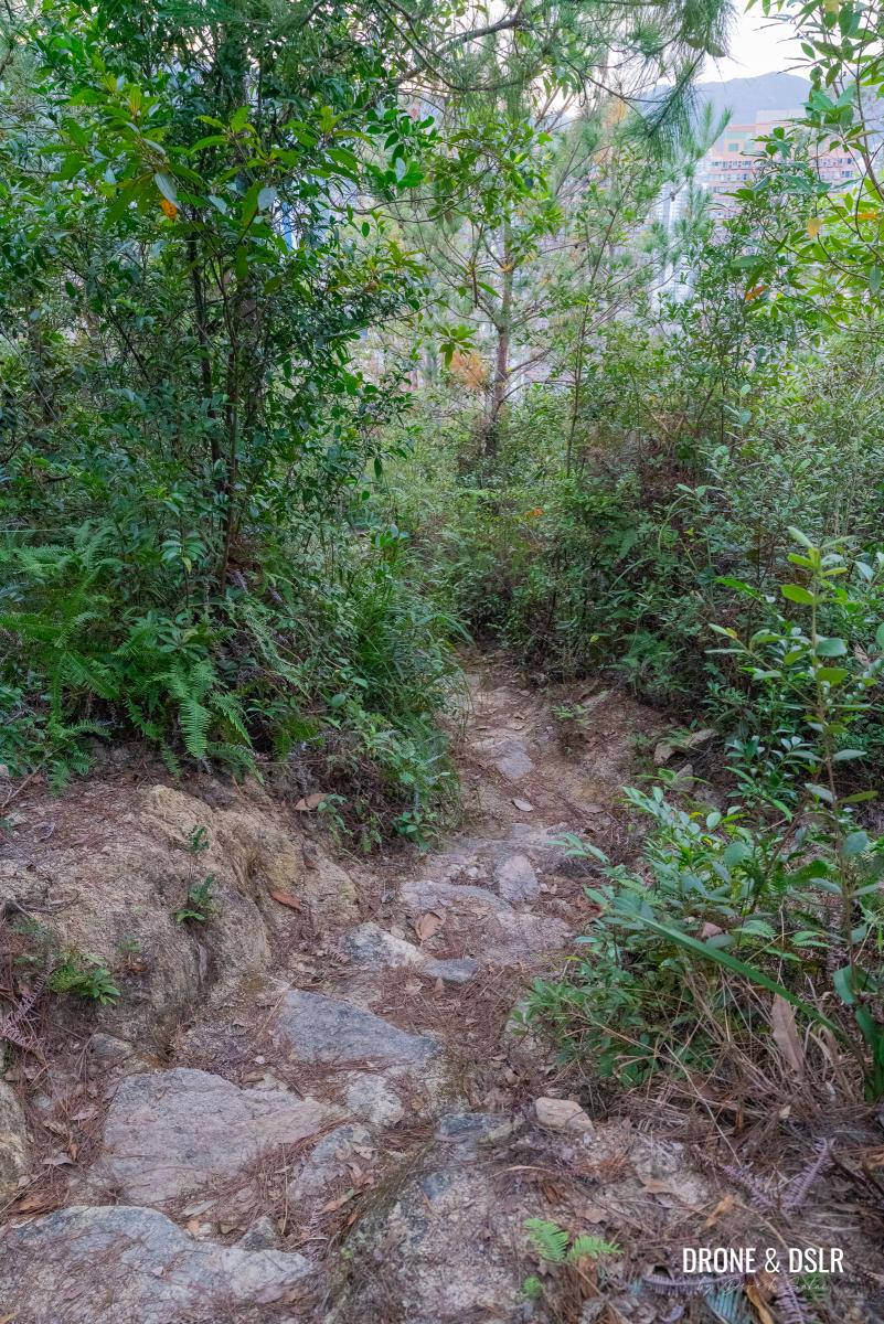
Up until now, the hike has been relatively very easy, and quite enjoyable. From this point on, it becomes a bit tougher. After you cross the stream again, a slow but steady climb follows. The steps start off gently, flanked by bamboos on either side.
-
- And this is where the trail gets difficult and no longer runs along the stream
-
- After the first flight of steps, the trail flattens for a short distance
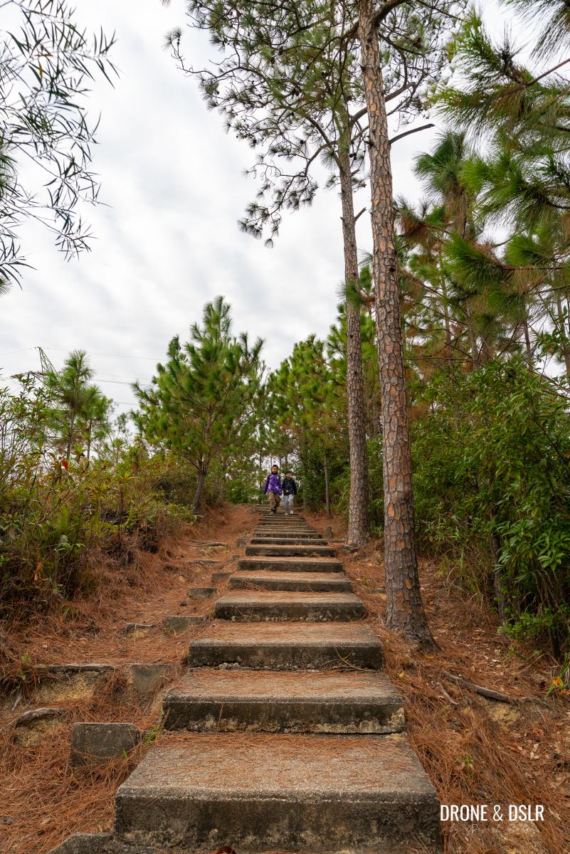
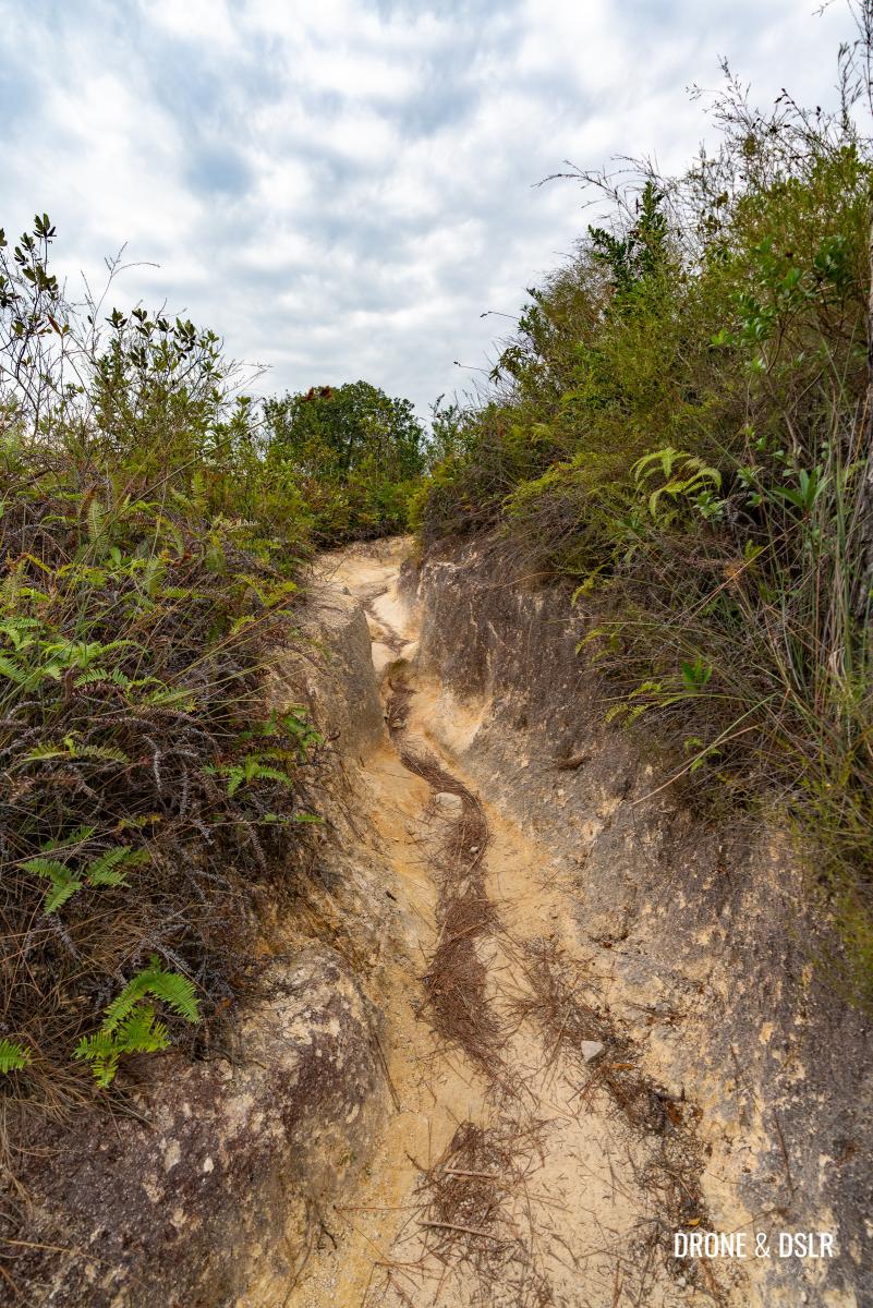
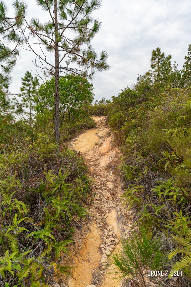
There are a couple of short, flat sections, but those don’t last long as the steps reappear. And this time, they become steeper. At one point, the steps feel like they’re never-ending. My advice is always to go slow when faced with such steps. Climb up at a comfortable pace, and take breaks if needed.
After the flat section, comes the hardest steps
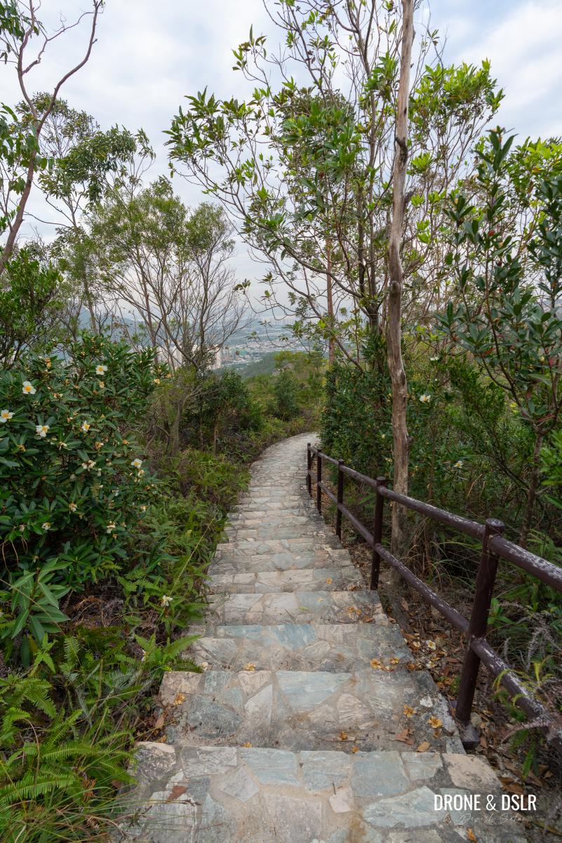
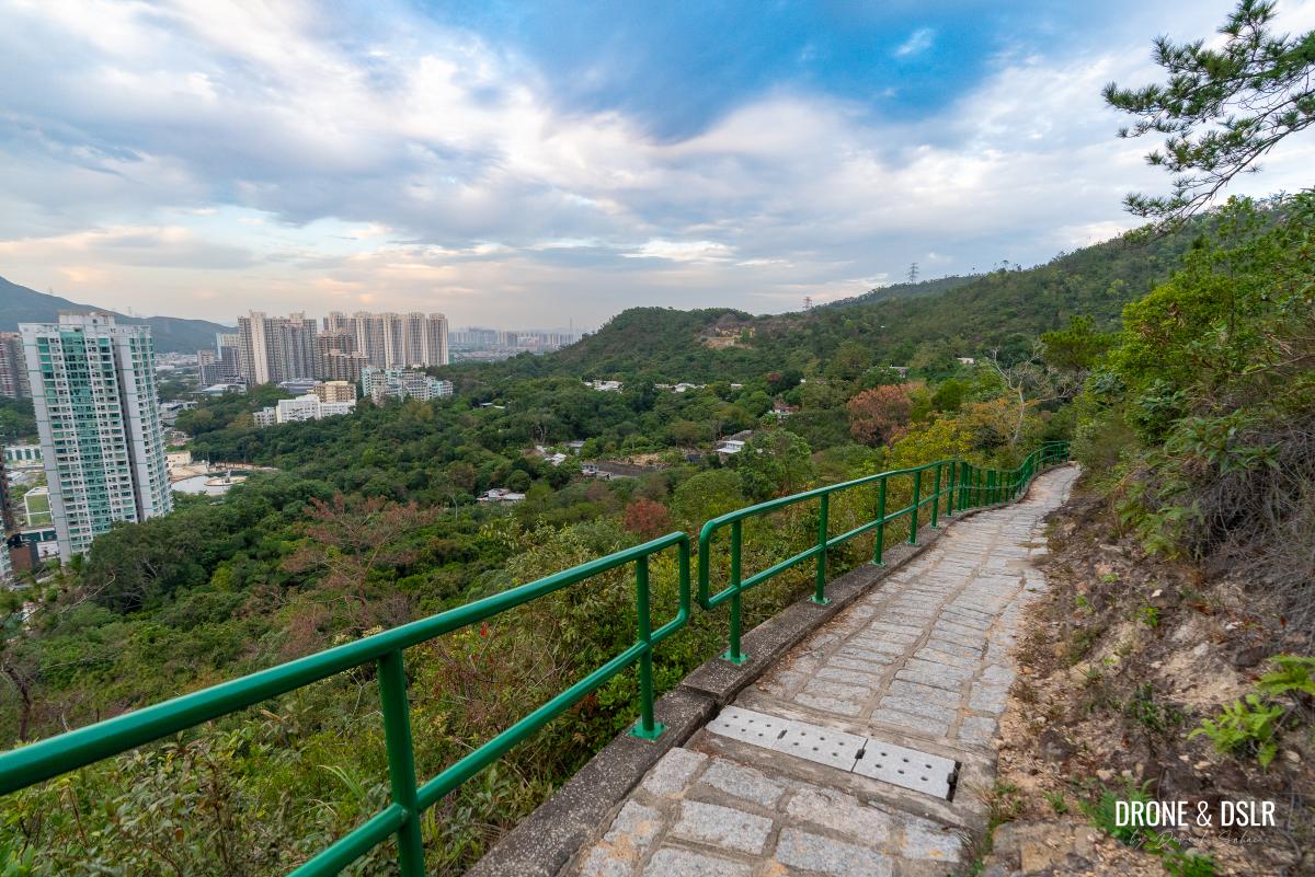
After what seems like a brutal and ruthless climb, you’ll finally get an opportunity to appreciate the views of the valley below. From this point onwards, the bamboos disappear and the views open up.
-
- Enjoy the views of the valley as you climb uphill
-
- The steps open up, revealing views of the valley below
Keep climbing till you finally see a pavilion.
Keep climbing till you reach the pavilion at the start of the Kau Keng Shan Sky Steps
When you reach the pavilion, take a well-earned break!
Continue On Fu Tei Country Trail (For Now)
The pavilion is situated at the intersection of the Kau Keng Shan Hike (the second-tallest peak in Tuen Mun) and the Fu Tei Country Trail.
After you’re done resting, follow the signs and continue on Fu Tei Country Trail as it begins its loop back to the reservoir.
-
- Follow the signs from the pavilion
-
- The Fu Tei Country Trail turns around and heads back after the pavilion
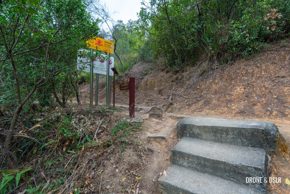
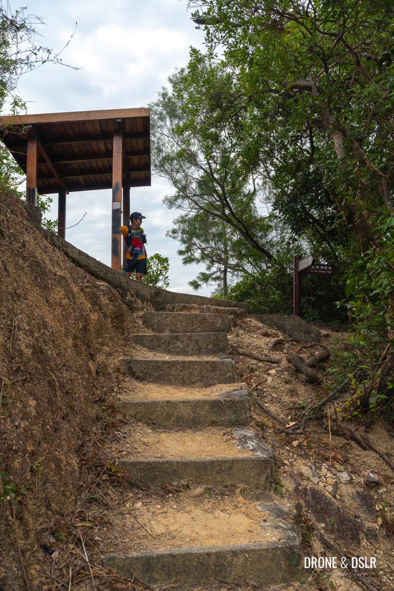
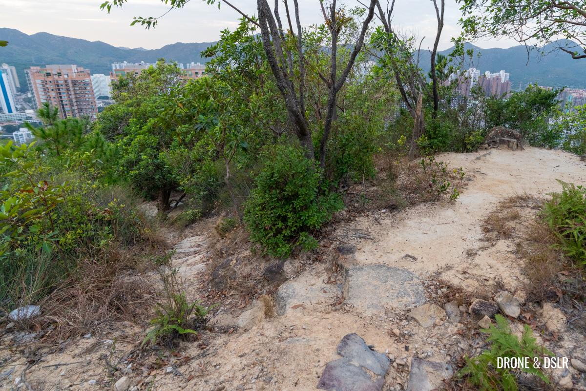
Follow the path as it approaches an easy flight of steps that lands close to a power cable tower. Walk past the tower, and just around the next corner, you’ll notice a fork in the path.
-
- The picturesque steps that follow right after the pavilion
-
- Keep hiking around the electric cable tower
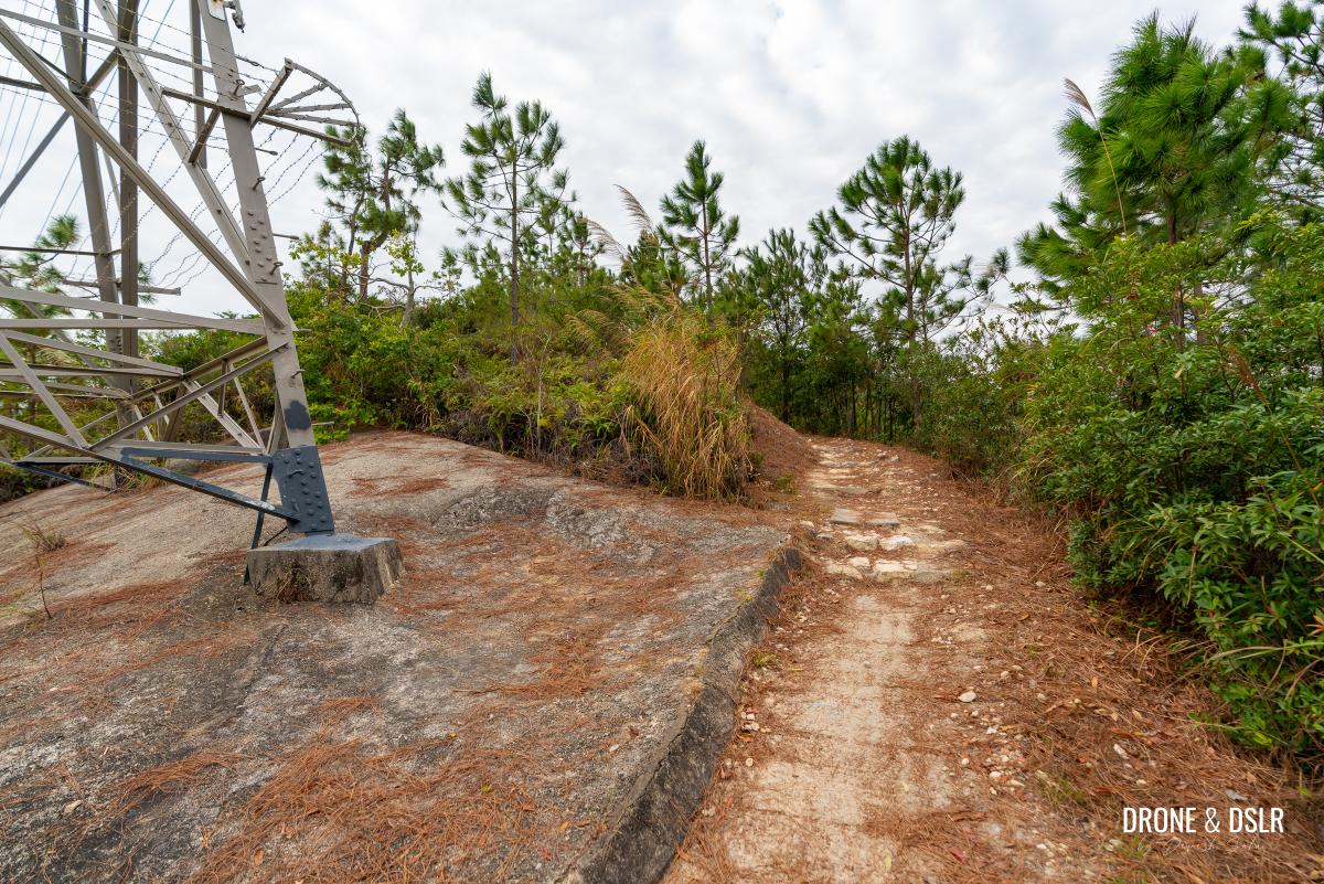
-
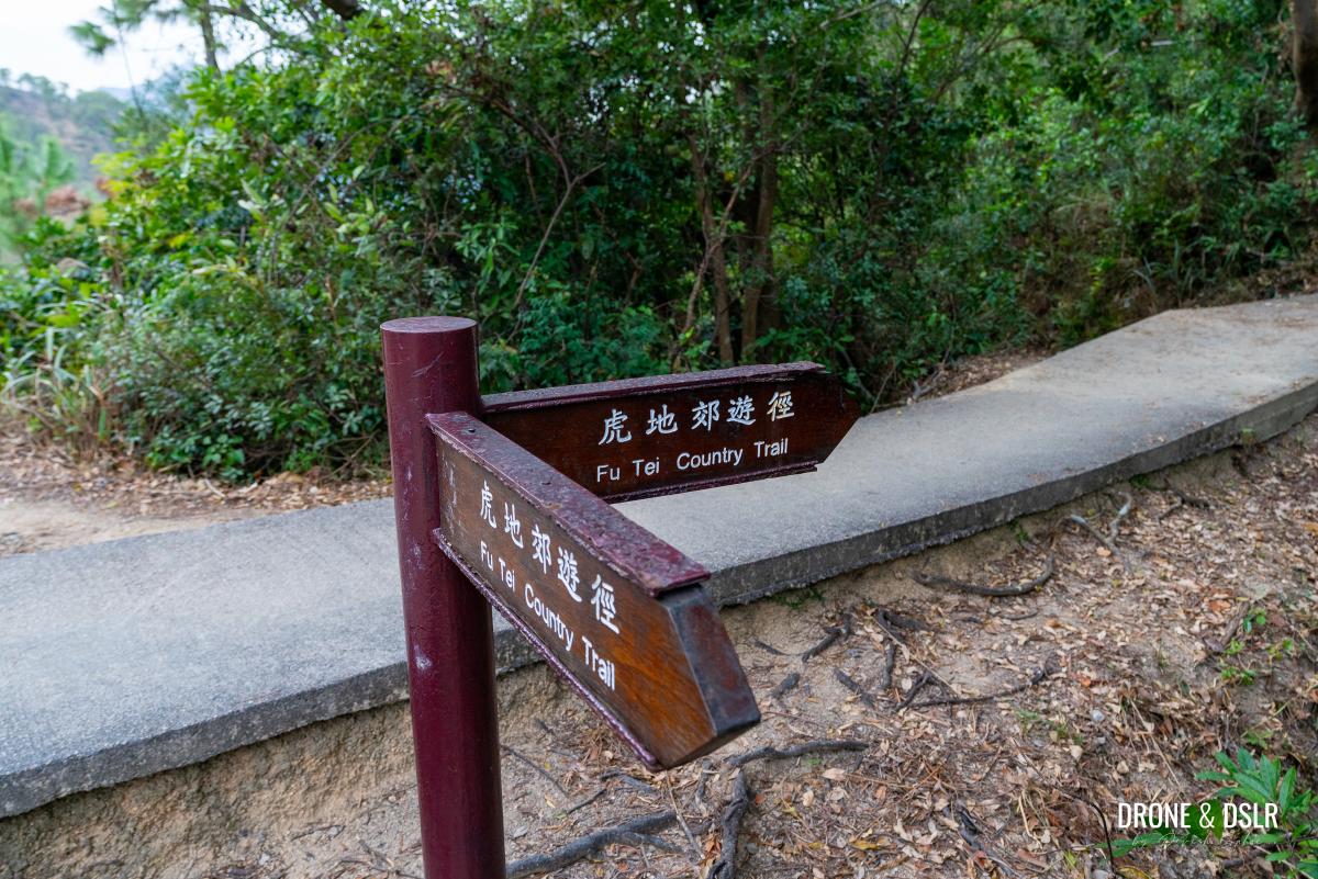
- After the tower, the trail reaches this split, where an unmarked trail heads off to the left, whereas the Fu Tei Country Trail continues on the right
Now although the Fu Tei Country Trail continues on the maintained trail (on the right), I recommend going off trail.
Why?
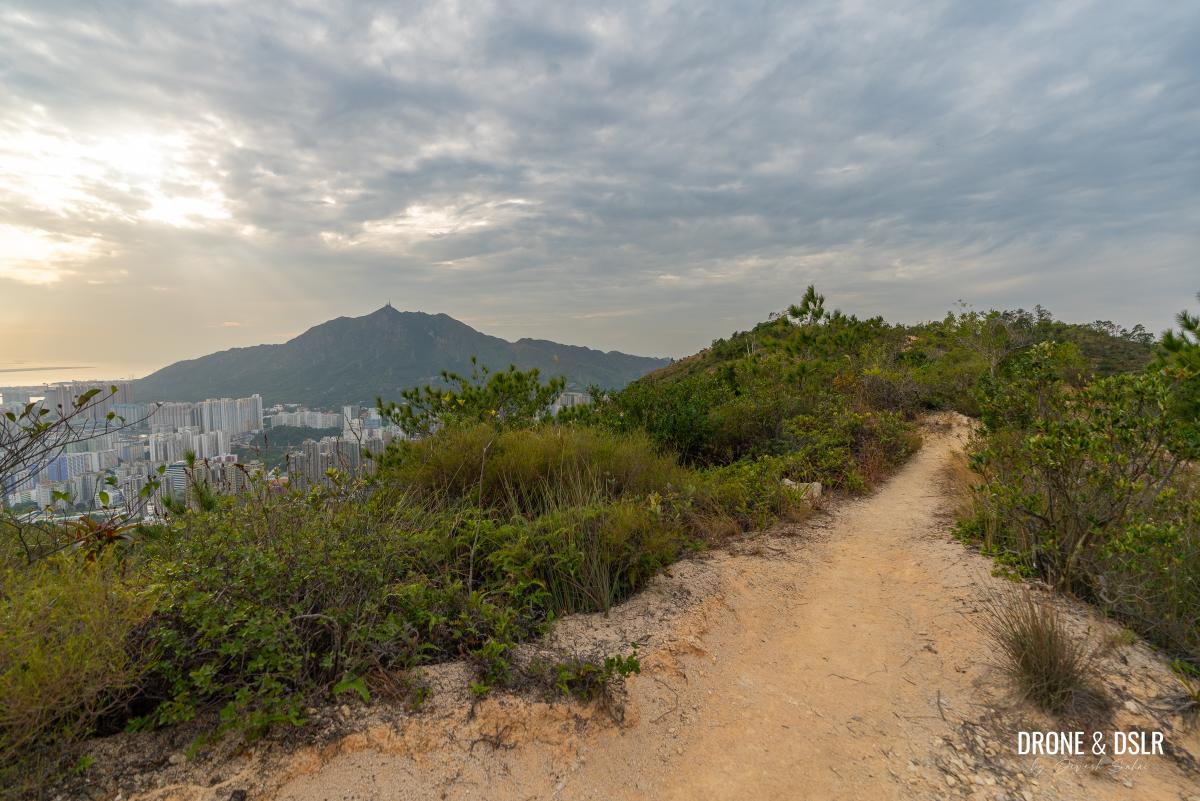
If you were to continue on Fu Tei Country Trail, you’ll essentially follow a relatively simple path, with limited views, back to the Lam Tei Irrigation Reservoir. But if you follow the unmarked trail on the left, you’ll be rewarded with amazing views of Castle Peak and Tuen Mun, a bit of adventure.
Feel free to continue on Fu Tei Country Trail if you’re not interested in heading off trail.
Going Off Trail – Detour To Kwun Yam Shan
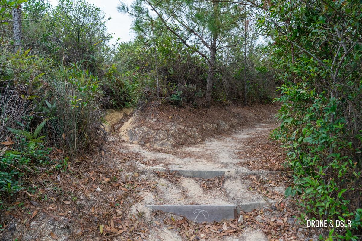
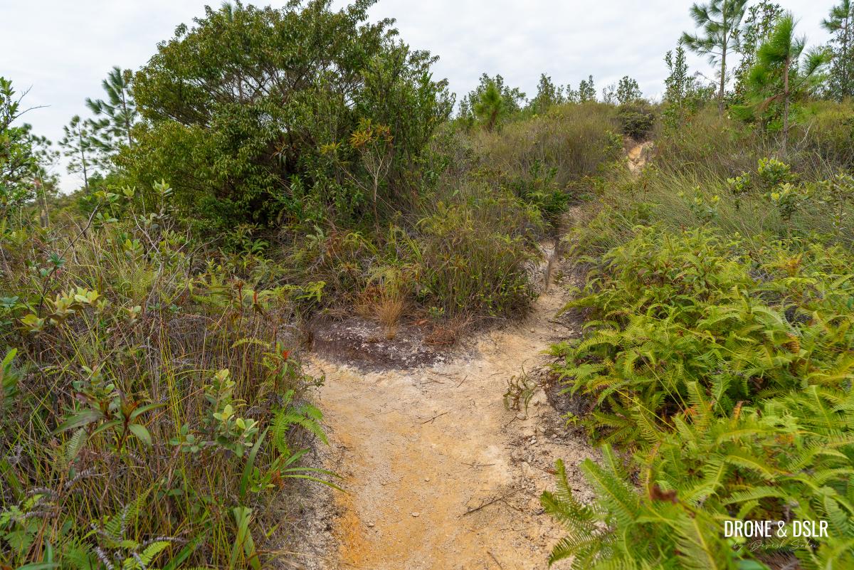
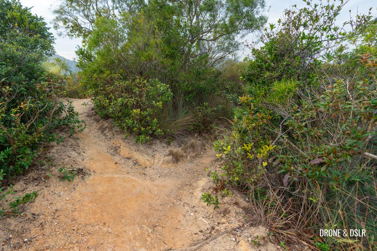
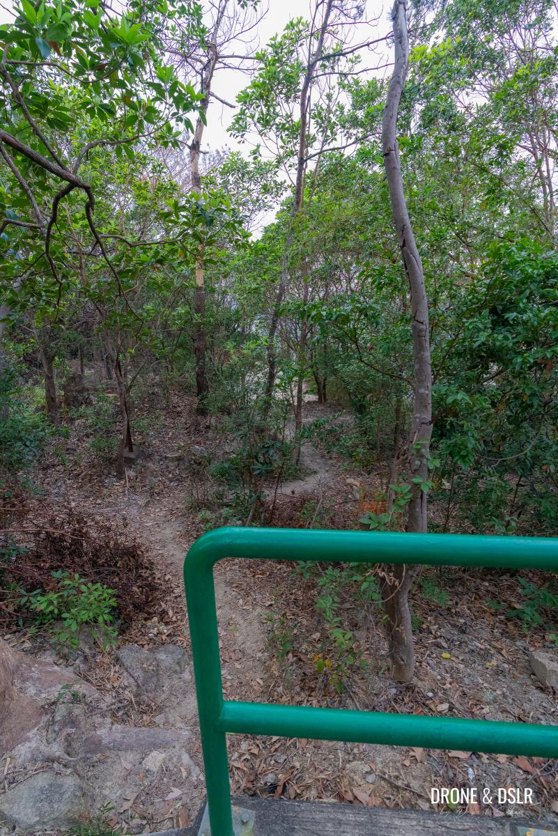
As you turn left and leave Fu Tei Country Trail behind, you’ll be greeted by a narrow pathway that brings you to another fork head. Although both paths ultimately converge, I recommend taking the shorter path on the left.
-
- I recommend taking the unmarked trail on the left for a more scenic hike via Kwun Yam Shan and leave Fu Tei Country Trail behind
-
- Follow the unmarked trail as it heads up this narrow gully
-
- At the first split on the unmarked trail, turn left
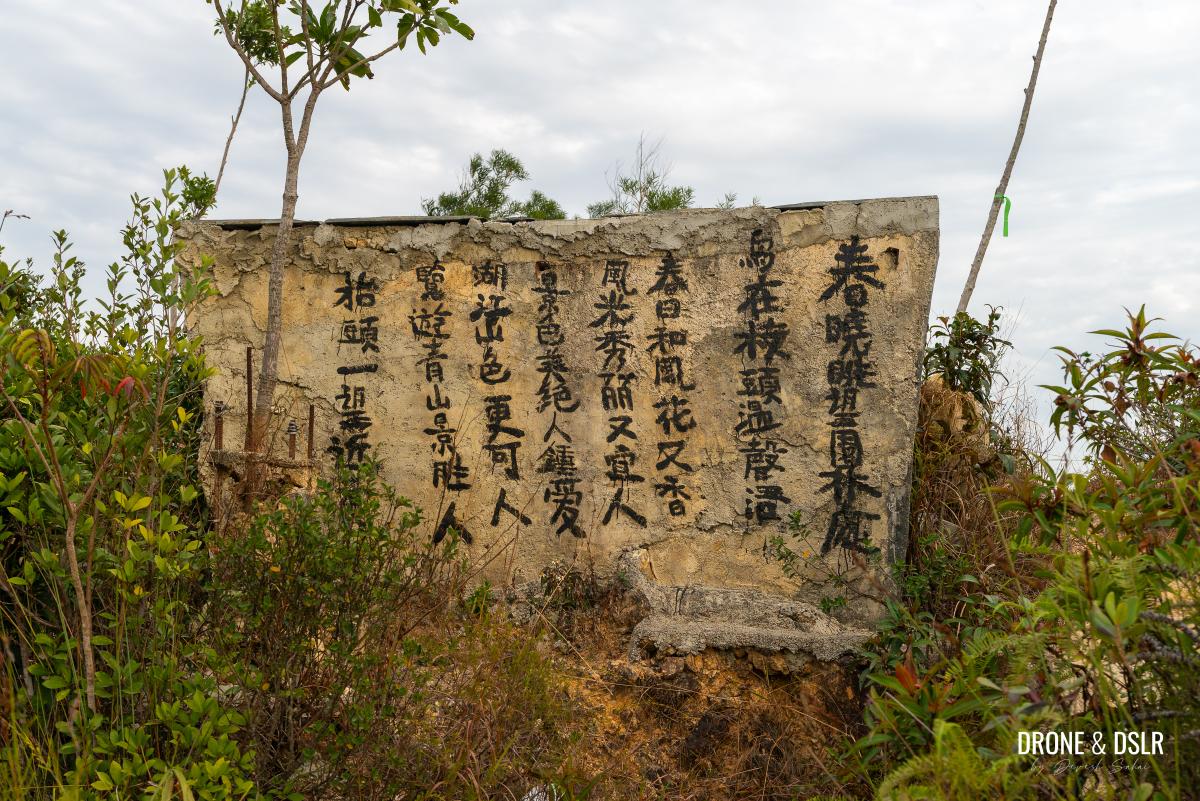
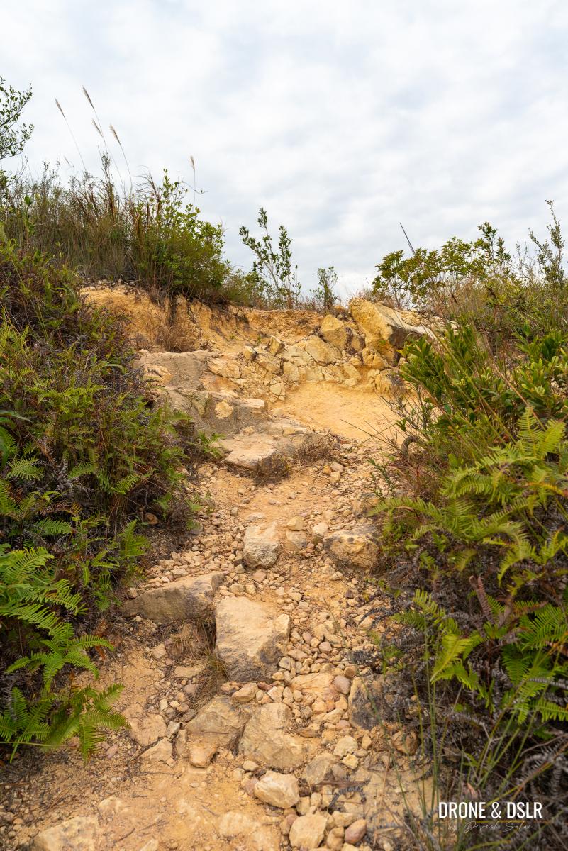
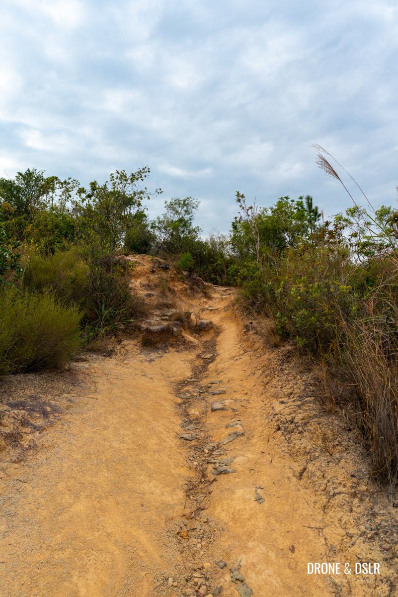
Follow the dirt path uphill till it reaches a perpendicular trail. At this point, turn left. If you turn right, you’ll reach a dead-end with a structure with a poem on it.
-
- Keep walking on this incline as it becomes easier
-
- Turn left when reaches this path
-
- If you see this stone, you’ve come in the wrong direction
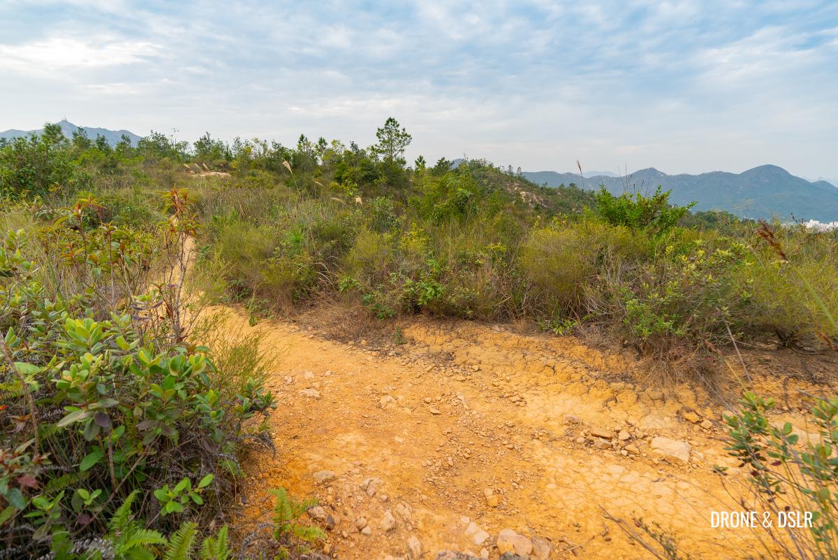
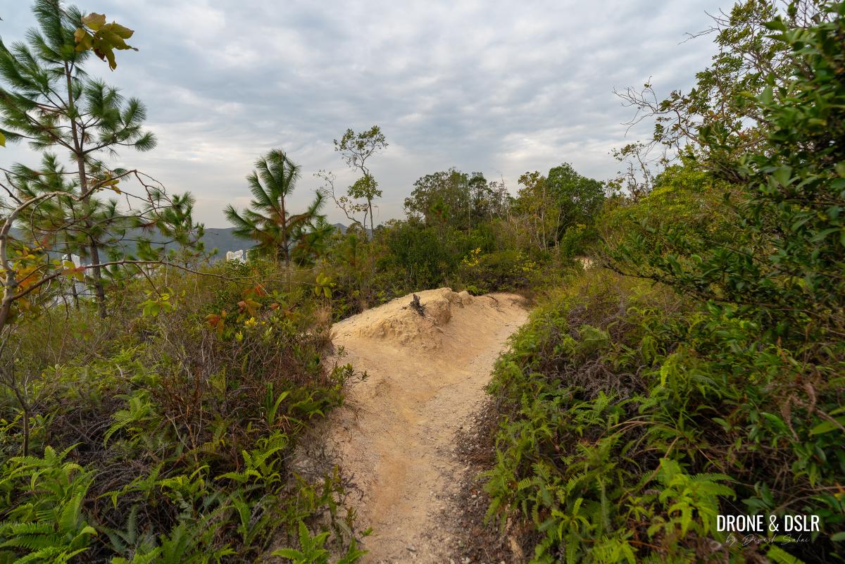
As you turn left, the trail approaches a ridge with hardly any obstructions on either side, leading to perhaps the best views on this hike.
This is where the scenic ridge to Kwun Yam Shan begins
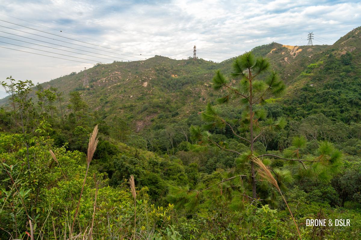
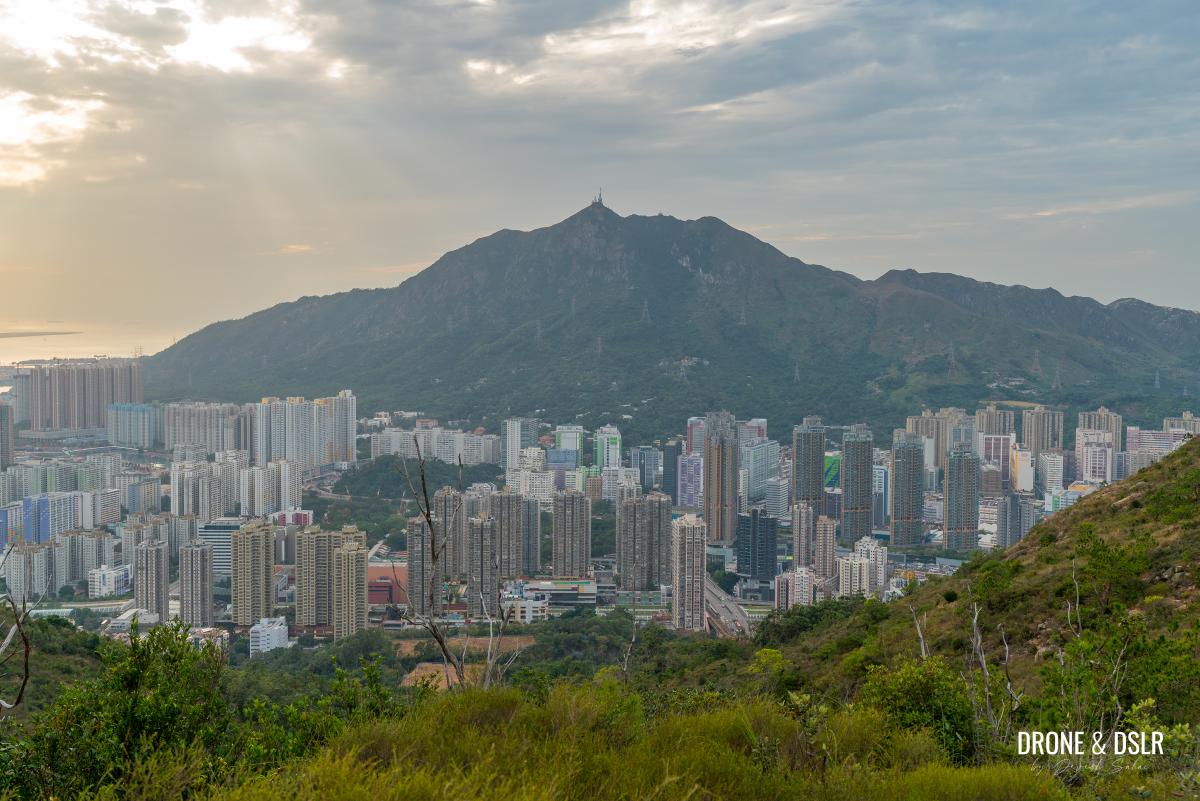
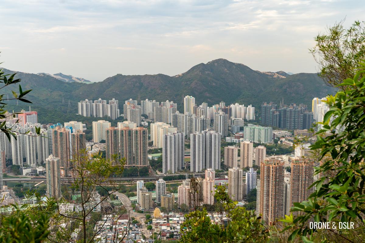
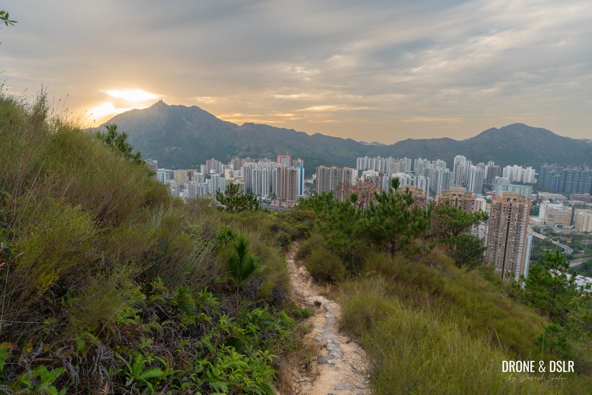
From this ridge, you can admire Shenzhen to the right, Lantau Island to the left, Castle Peak and Tuen Mun ahead, and Kau Keng Shan behind. In my opinion, this was one of the most scenic sections of the hike! And if wasn’t for the strong winds, I would have stood there to admire the views for longer.
-
- This section over the ridge makes this detour to Kwun Yam Shan worth it
-
- Views of Castle Peak and Tuen Mun from the ridge
-
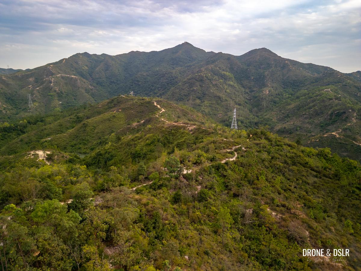
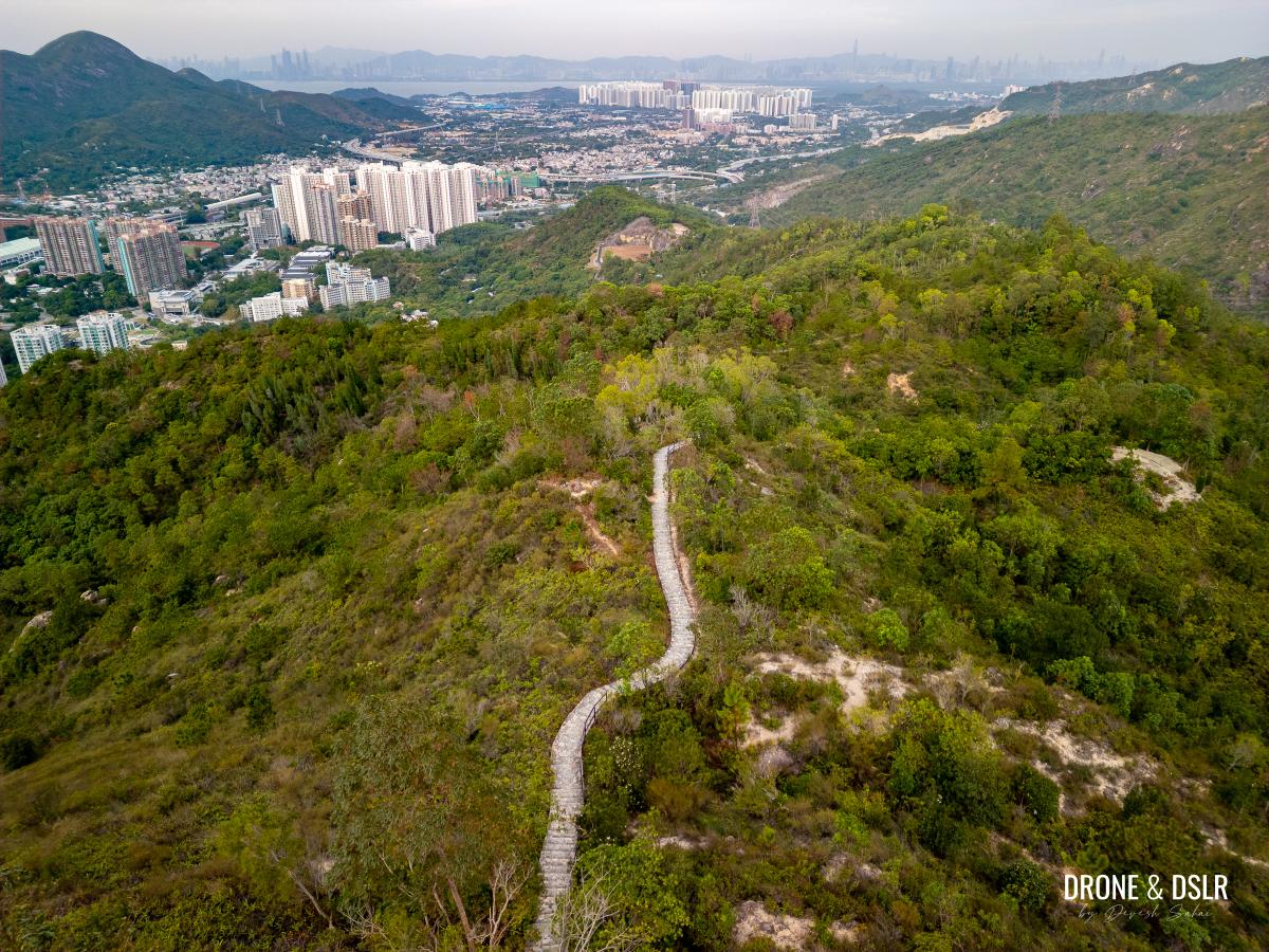
- Aerial view of the scenic to Kwun Yam Shan (taken from Tuen Mun side)
Keep following the ridge, as it passes through a few rough sections, with a bit of incline. After a short climb, you’ll once again arrive at a fork in the trail. This time turn right.
-
- Up ahead it does get a bit treacherous to navigate
-
- A short incline after the ridge section
-
- At this point, turn right
Follow the trail for a short distance till you arrive at Kwun Yam Shan, the highest point on this hike.
Walk for a short distance on the trail after turning right
Kwun Yam Shan
At 288 metres, Kwun Yam Shan is the highest point on this off trail section of the Fu Tei Country Trail Hike.
Kwun Yam is the goddess of mercy, compassion, and love, and other than the temples, there are a few hills named Kwun Yam Shan in Hong Kong. This one is probably the least well known.
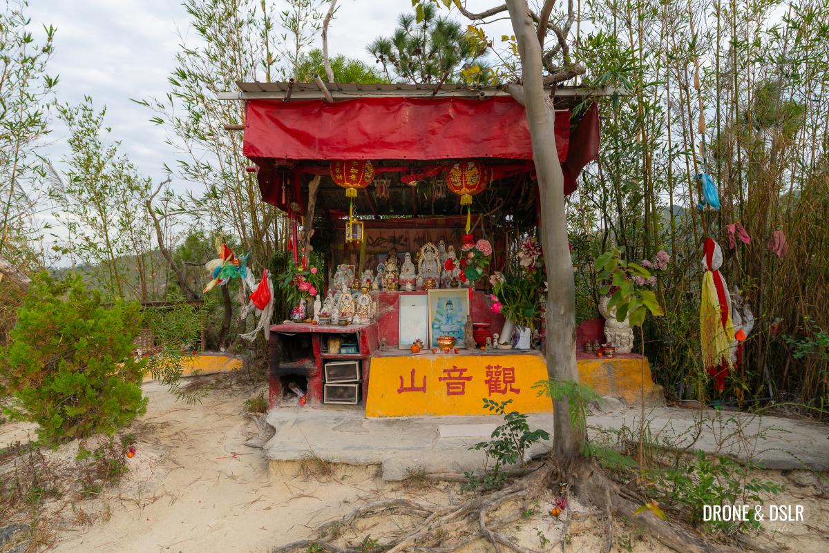
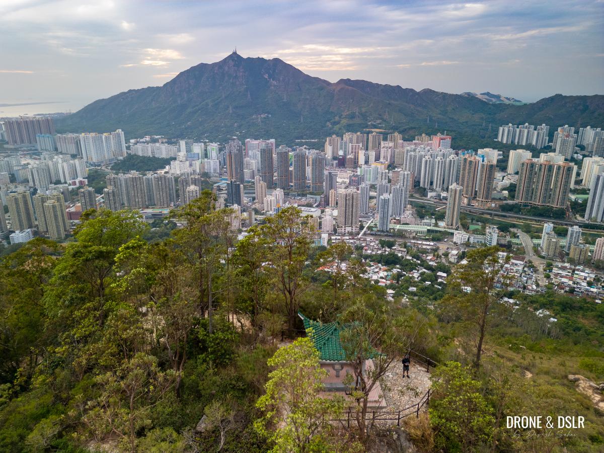
But what’s interesting about Kwun Yam Shan in Tuen Mun is that it’s summit is occupied by a makeshift temple, filled with statues left by devotees. This open air temple is definitely a unique and beautiful sight while hiking.
The temple on the summit of Kwun Yam Shan (288 metres)
The views from the Kwun Yam Shan are limited to Castle Peak and Tuen Mun below thanks to the trees on the summit.
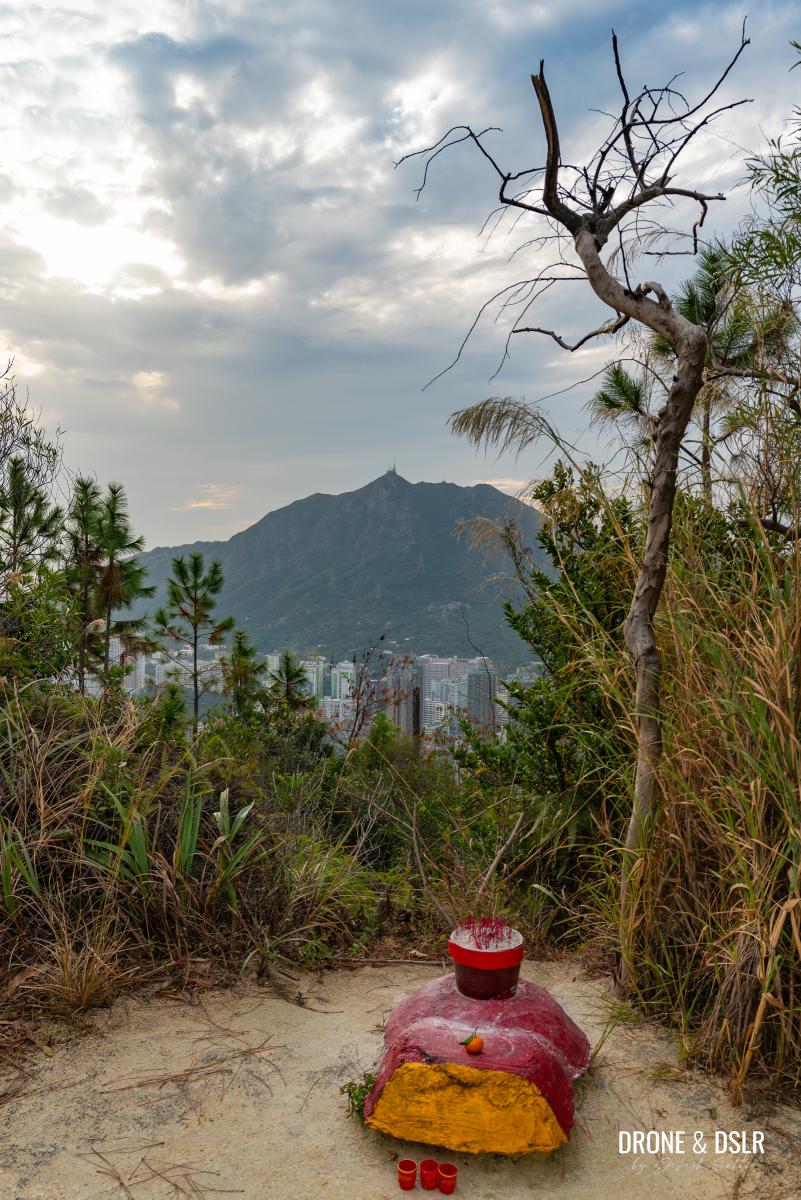
The view of Castle Peak from Kwun Yam Shan
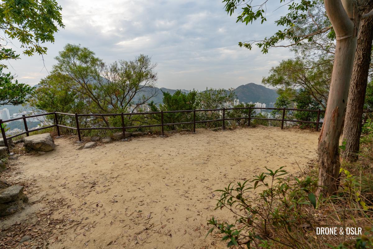
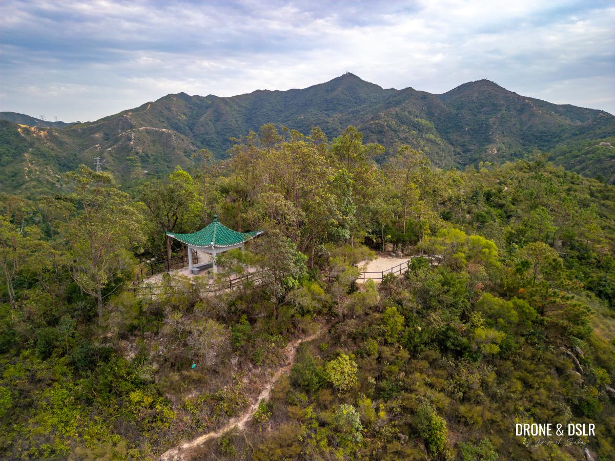
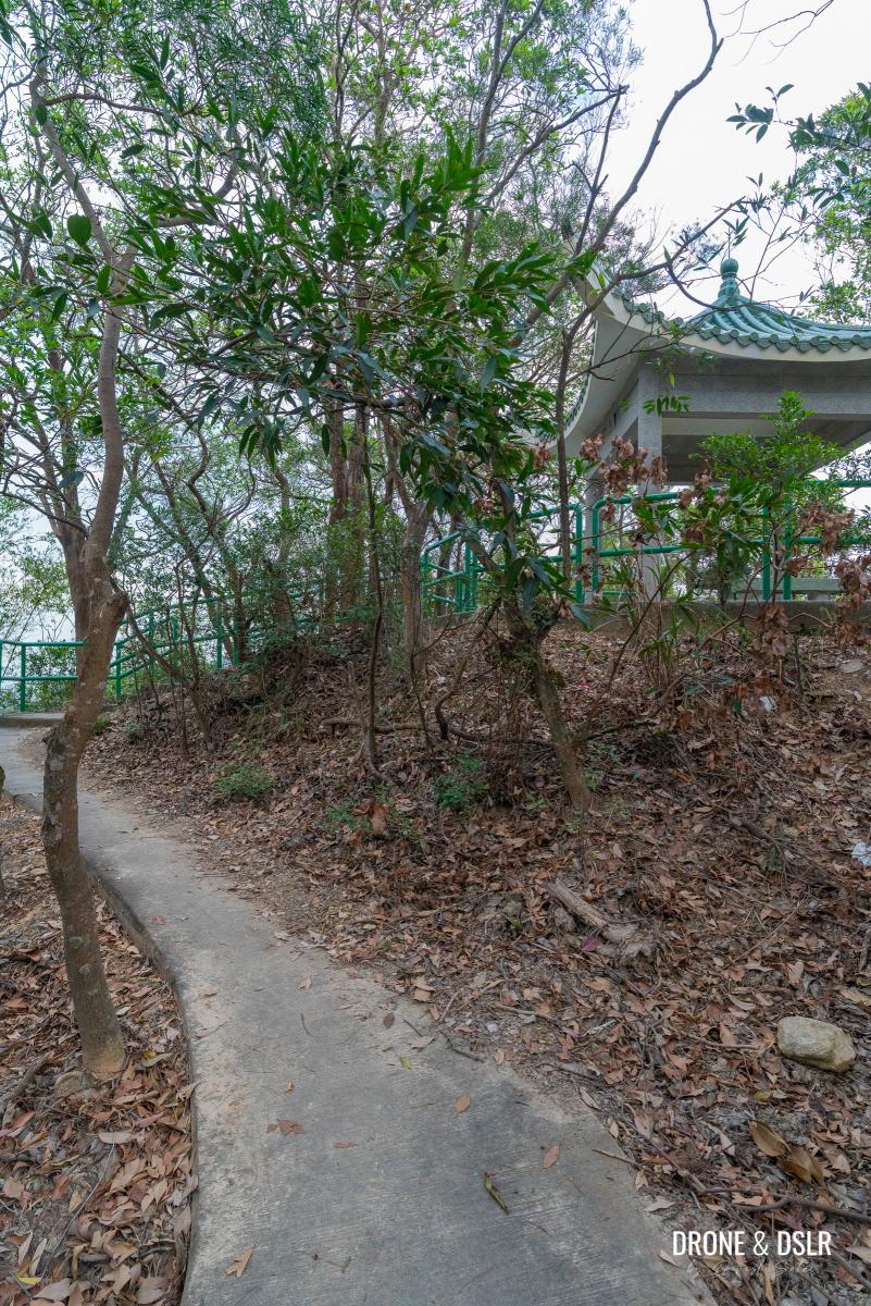
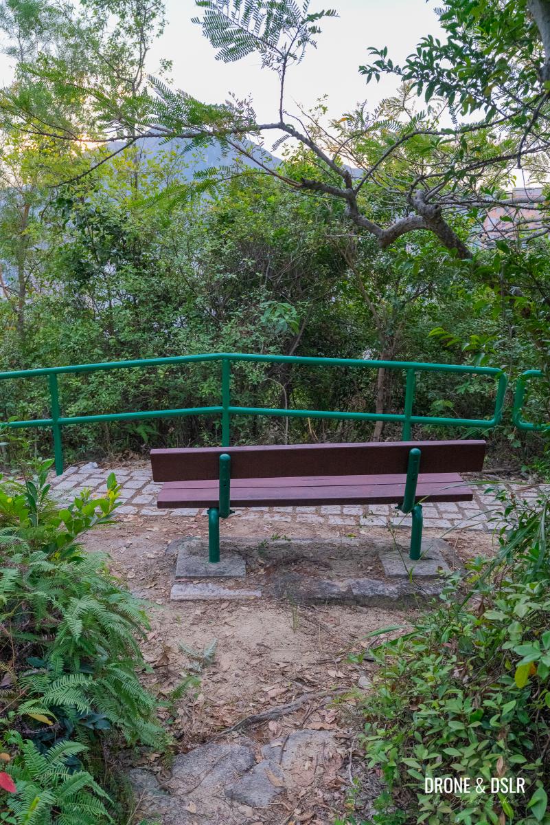
But if you want better views, walk slightly ahead, and you’ll find a lookout platform, and a pavilion (named Tung Sing Pavilion) on the left-hand side of the trail. The pavilion offers a place to sit in case you want to take a quick break.
-
- Walk ahead from the temple on Kwun Yam Shan to arrive at the viewing point
-
- The viewing point next to Kwun Yam Shan
-
- The viewing area at Kwun Yam Shan with Kau Keng Shan in the background
-
- Views of Tuen Mun from Kwun Yam Shan viewing point
-
- Aerial view of Tung Sing Pavilion on top of Kwun Yam Shan
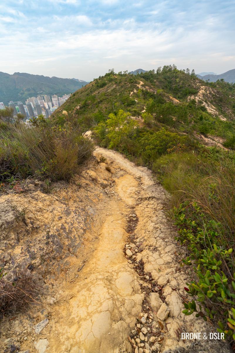
The Scenic Steps Downhill
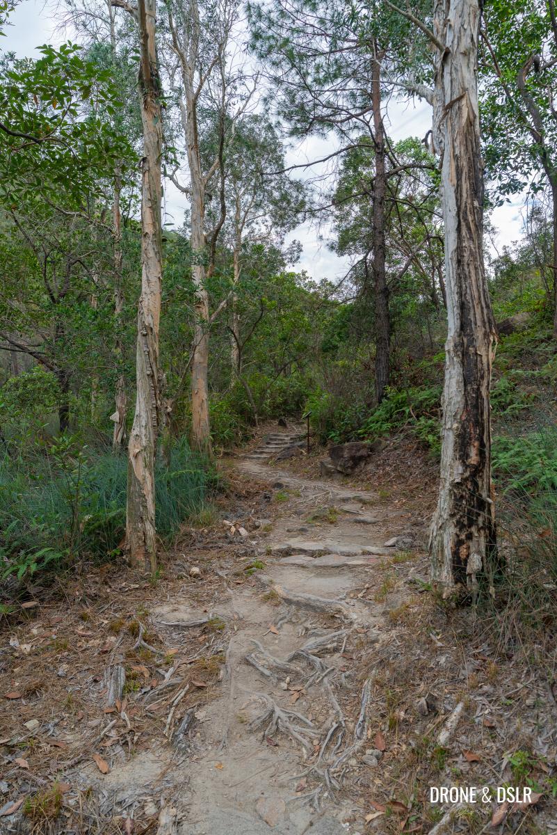
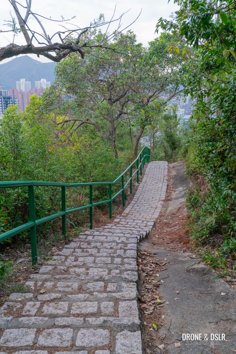
After you’re done taking in the views from Kwun Yam Shan, continue following the trail as it begins its descent. Luckily, the downhill path consists of well-maintained steps instead of the dirt trail that you followed to reach here.
Time to head down these beautiful steps
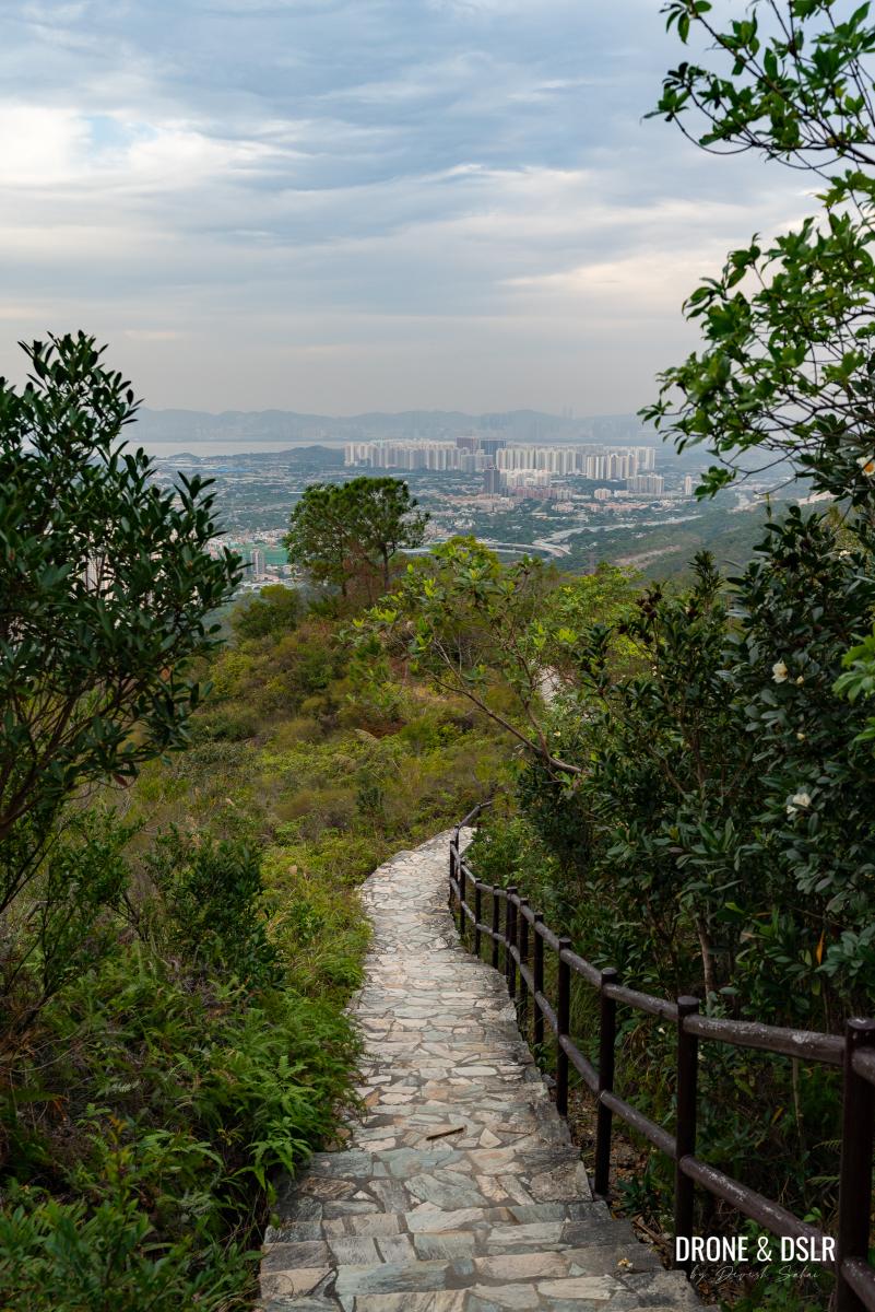
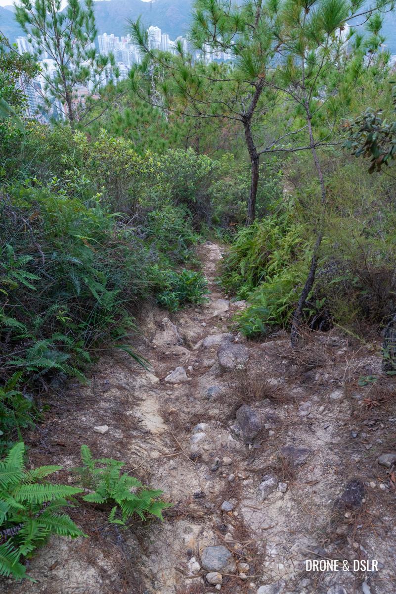
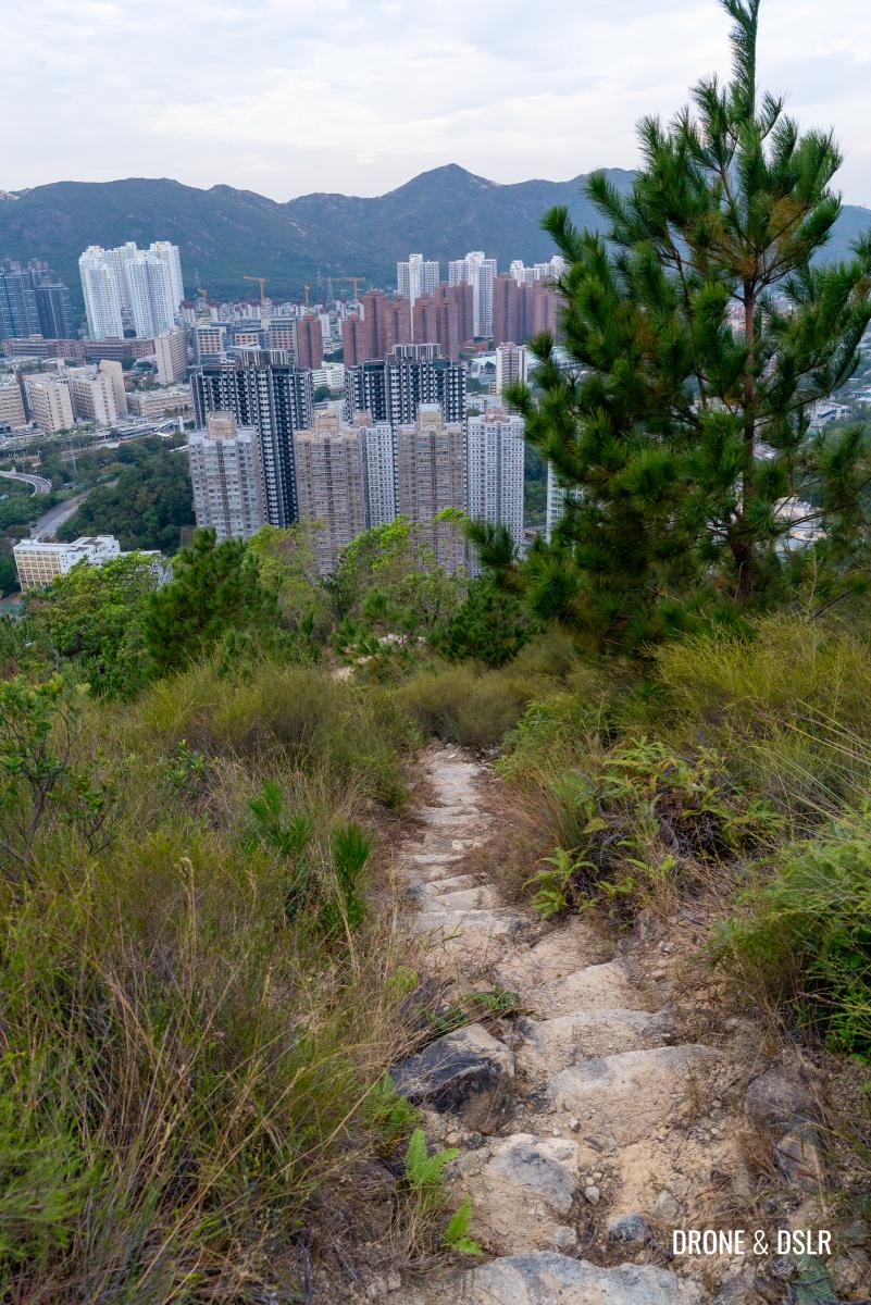
The initial section of the steps is extremely scenic thanks to the unobstructed views that extend all the way to Shenzhen.
Aerial view of the steps heading down Kwun Yam Shan
The stone steps also add a bit of character to the downhill path. At around the halfway point, the views disappear as the trail reaches the treeline.
-
- Gorgeous views as you descend
After a brief flat section, the steps continue downhill till they reach a junction of multiple trails. Once again, you’re presented with three options:
- Turn right and return to Fu Tei Country Trail and end at Lam Tei Irrigation Reservoir (follow sign for Lam Tei Irrigation Reservoir)
- Turn left (sign for Hoh Fuk Tong) and head downhill towards the Rainbow Railing and Tuen Mun Path
- Go straight to the pavilion and follow an unmarked trail downhill (no sign for this on the post)
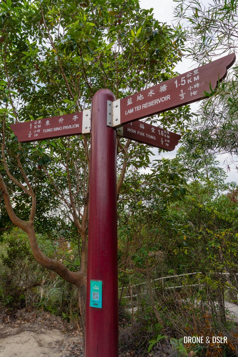
Make a choice (I’m picking a hidden option)
Option 1 will reunite you to with the Fu Tei Country Trail after taking the Kwun Yam Shan detour.
However, I was feeling particularly adventurous, so I opted for option 3. But if you don’t feel like taking the unmarked trail, you can follow option 2, and turn right at the Rainbow Railing, and you’ll reach the same point as where option 3 will emerge.
But for those who wish to follow option 3, let’s continue.
The Scenic Unmarked Trail To Tuen Mun Lion’s Pavilion
The main reason I opted for this option was the unobstructed views during my descent. Option 2 runs parallel to this path, but the views are slightly obstructed.
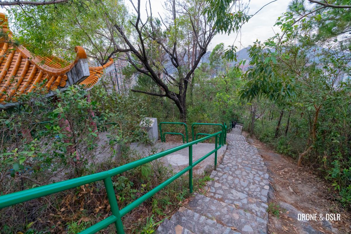
To approach this unmarked trail, walk straight from the trail junction towards the pavilion. But just before the pavilion steps, turn left and walk past the railing towards the trees where you’ll notice a trail.
-
- To head down the unmarked trail, go towards the pavilion
-
- Before the pavilion, turn left and hop onto the other side of the pavilion
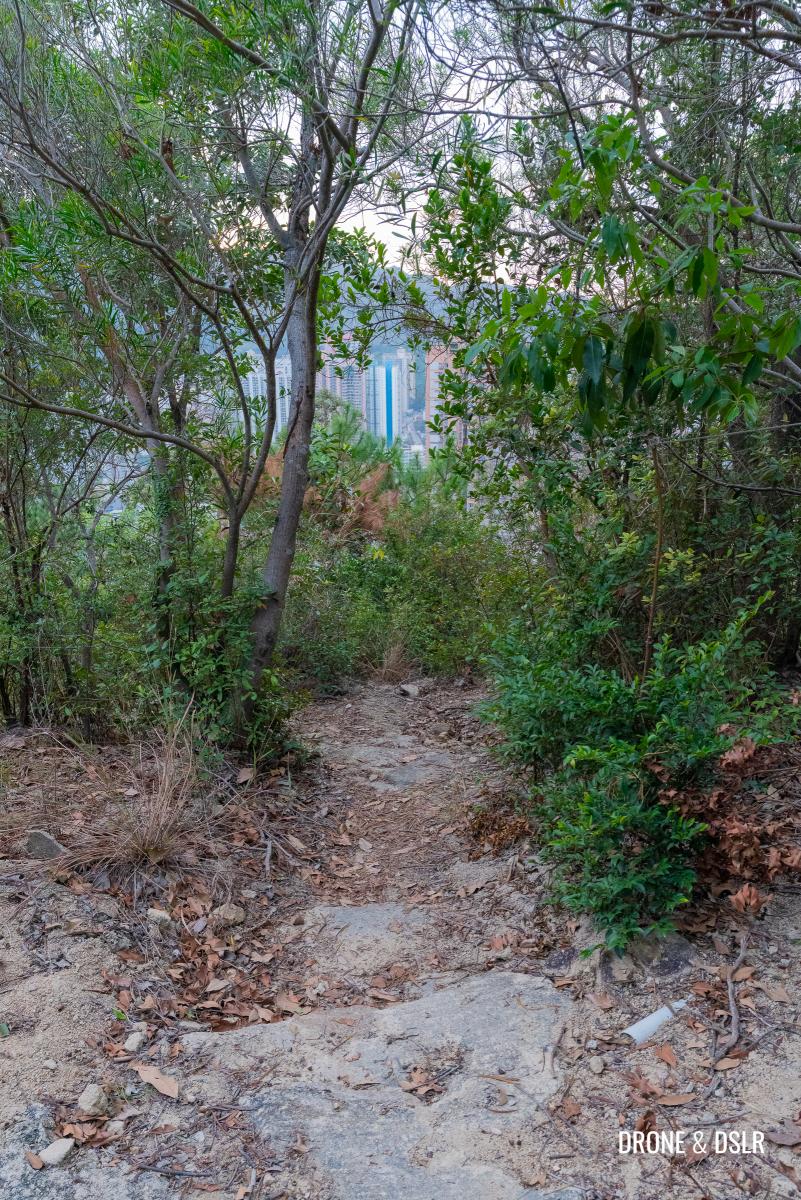
Follow this trail as it first leads you to an open space, before squeezing between trees on either side. I found this section, with its rocky and sandy surface to be a bit slippery.
-
- Follow the unmarked trail towards this clearing
-
- Follow the trail downhill, in-between these pine trees
But that changes shortly ahead when the trail exits the canopy of trees, and reaches a secluded section on the side of the hill. This is when the views of Tuen Mun and Castle Peak appear ahead.
-
- The views begin to open up as you continue downhill
-
- And suddenly, the downhill track becomes quite scenic
I was extremely fortunate to have witnessed the sun setting behind Castle Peak, which made the sky glow during my hike. I took a moment to soak in these views as the solo hiker on the trail.
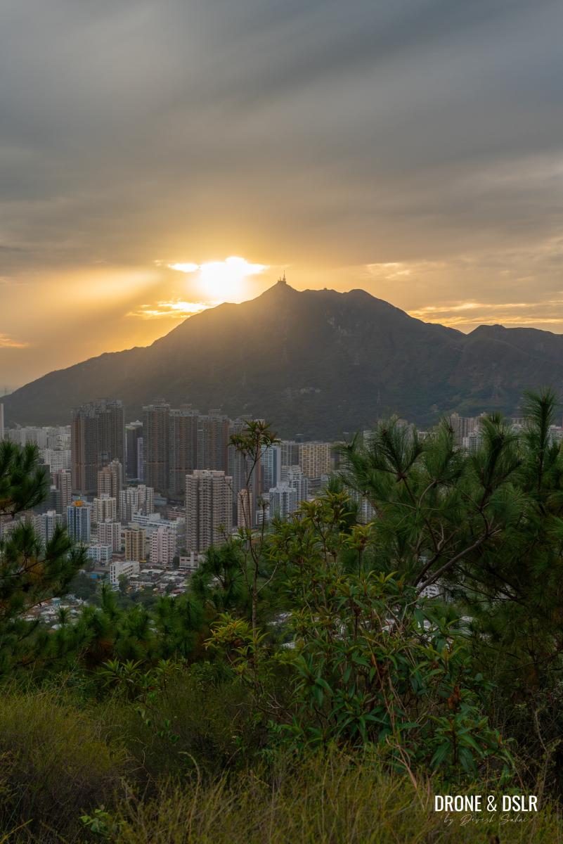
I was lucky to have caught this sunset while descending
After the sun set behind Castle Peak, I continued to descend on this unmarked trail, which is relatively easy to follow. Shortly ahead, the trail reaches a viewing area.
-
- Keep following the scenic trail downhill
-
- Keep going straight after you cross this lookout/seating area on the right
From the viewing platform, keep following the steps downhill, and then turn left as the trail squeezes between shrubs on either side.
-
- Just before the bushes, turn left and stay on the trail
Follow this narrow trail between the bushes till you reach the back of a bench on the Tuen Mun Path (non Rainbow Railing). This is where you would have also reached had you followed Option 2 and turned right at the Rainbow Railing.
-
- Follow the last section of this unmarked descent
-
- And the trail ends here, behind this bench on the Tuen Mun Path
As you step onto Tuen Mun Path, turn right and follow it till you reach Tuen Mun Lion’s Pavilion.
-
- Turn right and follow the Tuen Mun Path
-
- The path continues downhill as it passes Tuen Mun Lion’s Pavilion
The Final Descent
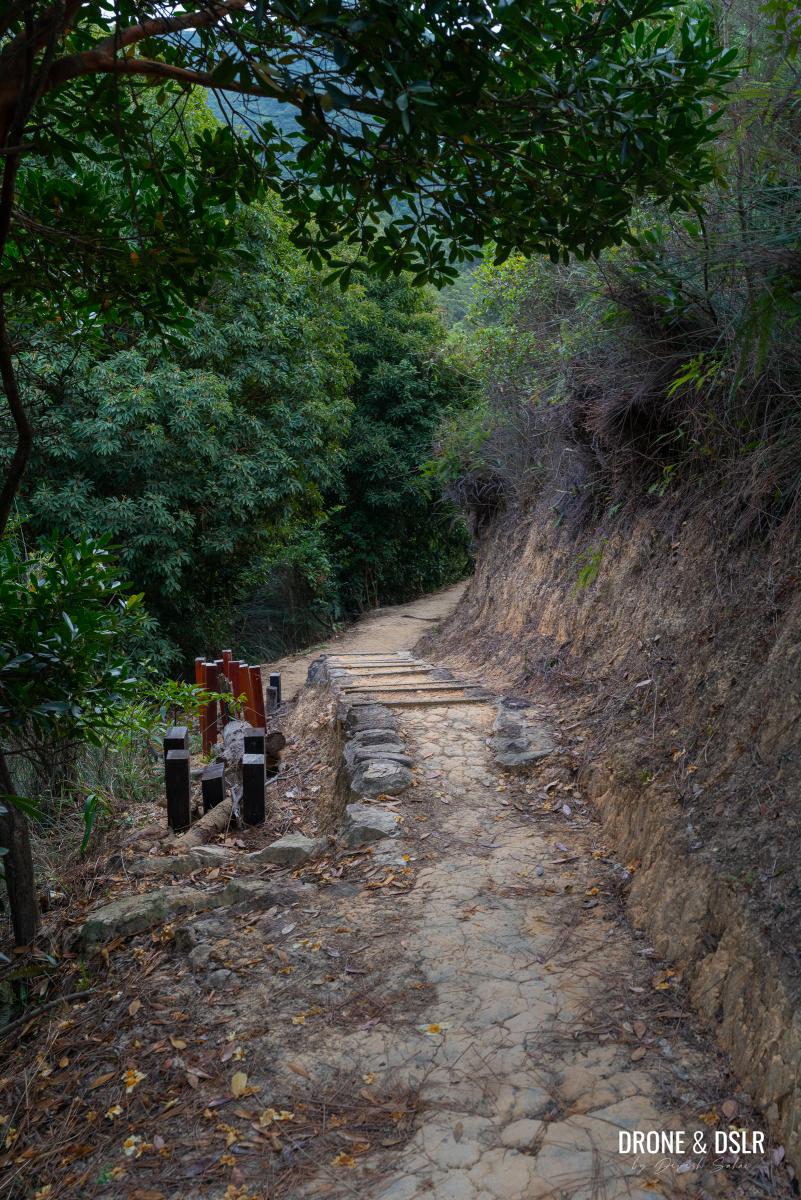
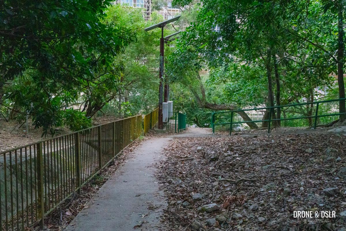
The final descent back to Tuen Mun is fairly straightforward from this point onwards. All you need to do is follow the Tuen Mun Path, as it gently descends back towards civilization.
Simply follow the Tuen Mun Path to complete your hike
One of my main reasons for choosing this path to end the Fu Tei Country Trail Hike (which BTW I left far behind) was its proximity to multiple transport options. The exit is also closer to those options, as you’ll notice.
But for now, continue walking downhill on Tuen Mun Path, as it leaves the views behind and slowly descends below the tree line.
Heading into the trees as the hike nearly comes to an end
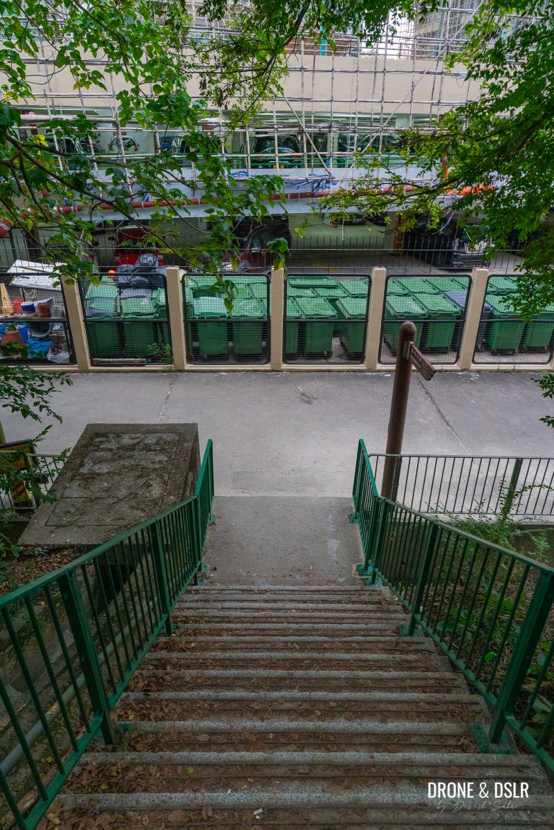
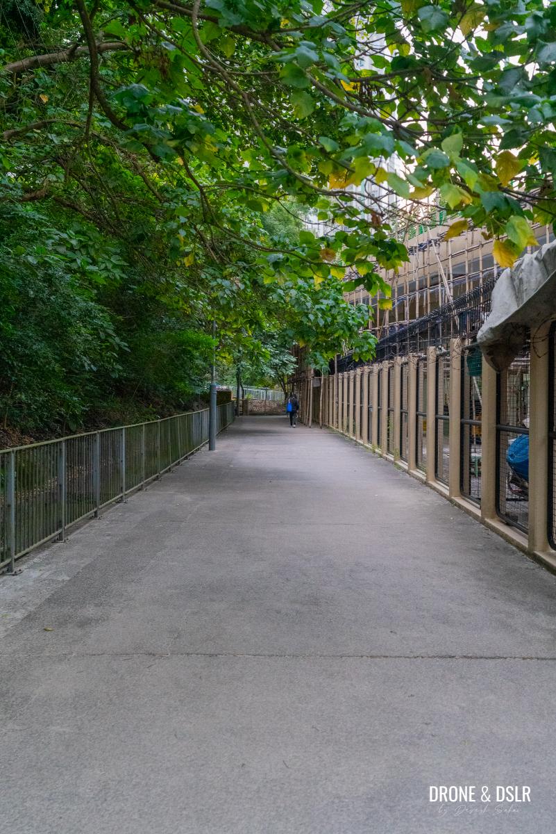
As the trail finally reaches below the trees, turn right and take the steps down to reach the path behind Elegance Gardens. Turn left and follow the path around the building complex as it reaches a three-point crossing next to S.K.H. Mung Yan Primary School.
-
- After the steps end, turn right
-
- And follow these steps that finish behind Elegance Gardens
-
- Turn right and walk behind Elegance Gardens, and turn right onto the main road
-
- Walk towards the SKH Mung Wan Primary School, take King Fung Path towards Castle Peak Road – San Hui
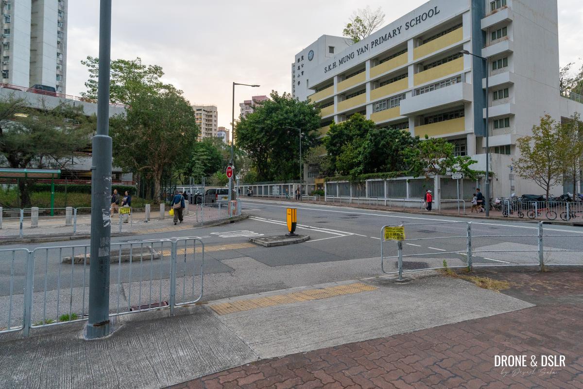
Take King Fung Path in front of the school, and walk past the Prime View Garden Commercial Complex to arrive at Castle Peak Road – San Hui. From here, you should have plenty of options for public transport.
Fu Tei Country Trail – Our Modified Route
You’re free to follow the entirety of the Fu Tei Country Trail, but I honestly think this modified version of the trail is more enjoyable. Without it, you’d miss the amazing views that follow from the Kwun Yam Shan detour.
I really enjoyed this hike because I went into it with no expectations. Not only was I enamoured by the beauty and serenity of Lam Tei Irrigation Reservoir, but also the views that followed from going off trail towards Kwun Yam Shan. I highly recommend this hike if you’re ever looking for something scenic, and not too difficult in Tuen Mun.
Aerial view of Tung Sing Pavilion on top of Kwun Yam Shan
But if you prefer a challenging hike, I highly recommend scaling Castle Peak or Kau Keng Shan. Also, have you visited Pineapple Mountain yet?
As always, feel free to share this detailed guide on the social media channel of your choice, and drop me a comment below if you completed the Fu Tei Country Trail Hike.
If you enjoy our work, come join us on Instagram and YouTube 🙂


You might also like


2 Comments
A lovely little hike for Chinese New Year. The views were stunning and your directions for the detour were excellent. Thank you!
Happy CNY, and thank you very much for your feedback 🙂