
The Cheung Ngau Shan Hike (sometimes also referred to as the Cheung Ngau Shan and Tseng Hang Shan Hike) is a scenic hike across the rolling hills in Yuen Long, Hong Kong. With three hills to climb and descend one after another, this moderately challenging hike is sure to test your endurance.
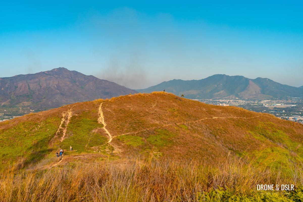
The rolling hills of Cheung Ngau Shan and Tseng Hang Shan
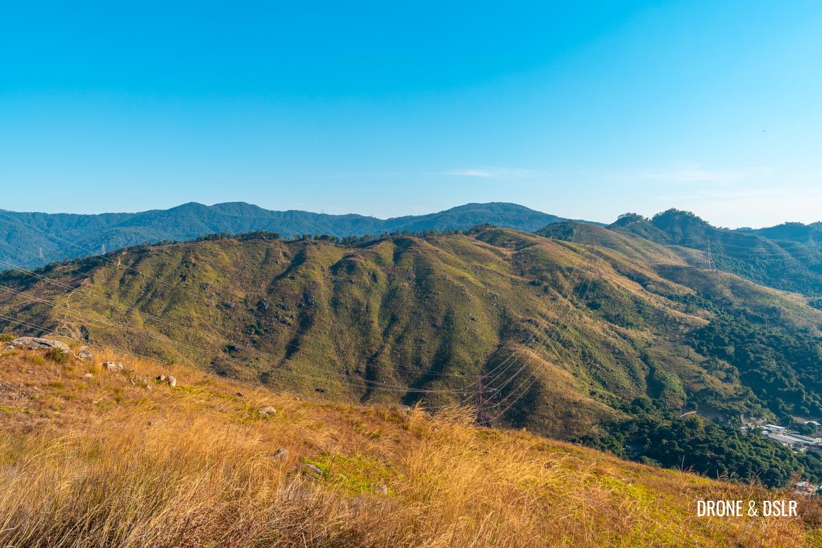
With its grassy texture, and undulating landscape, this is one of the more scenic terrains in the New Territories. In fact, Cheung Ngau Shan was once frequented by cows who came to graze its grassy hills.
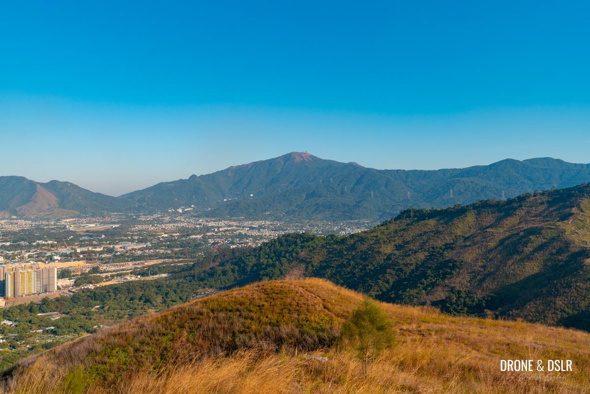
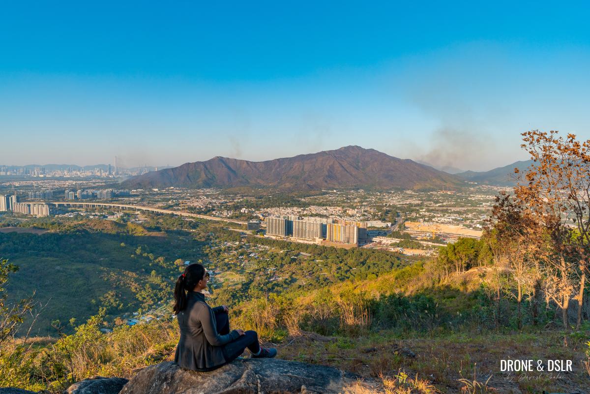
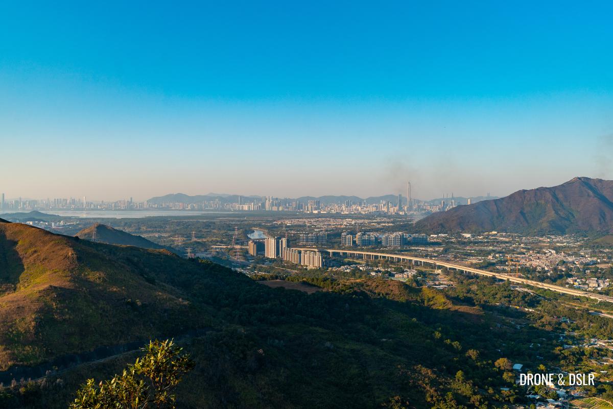
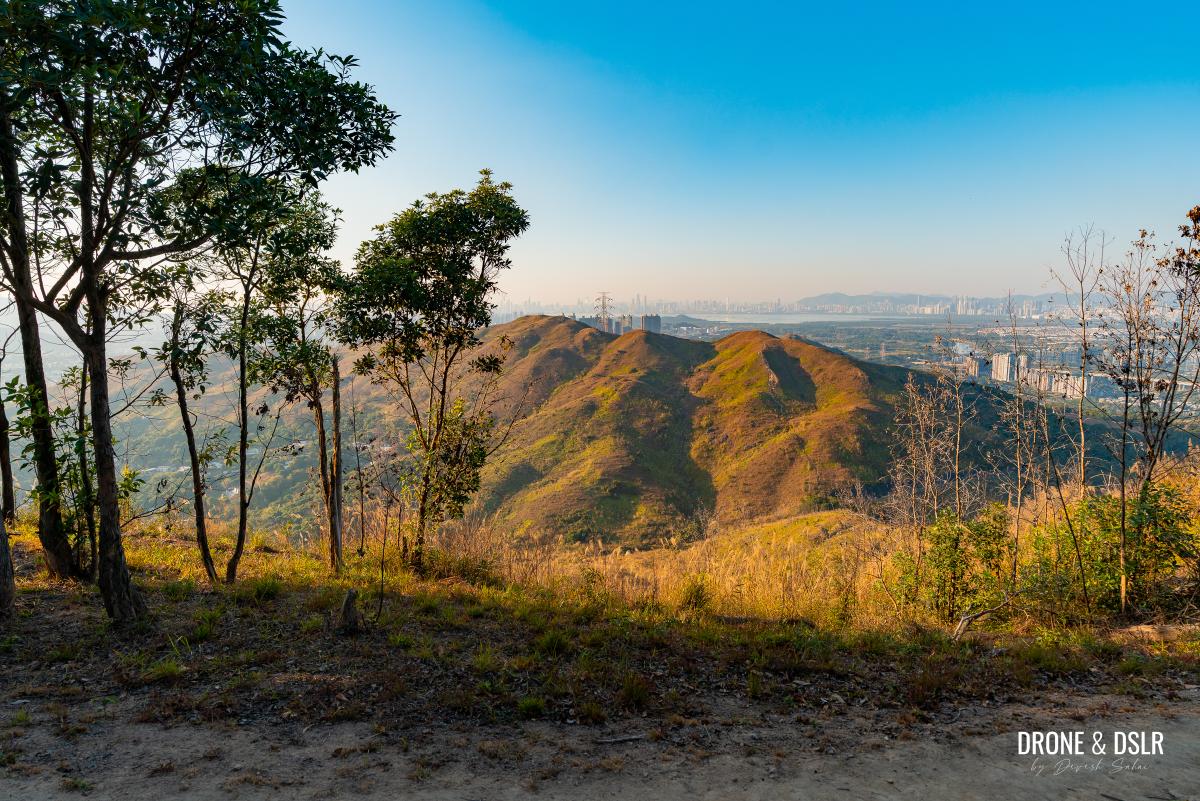
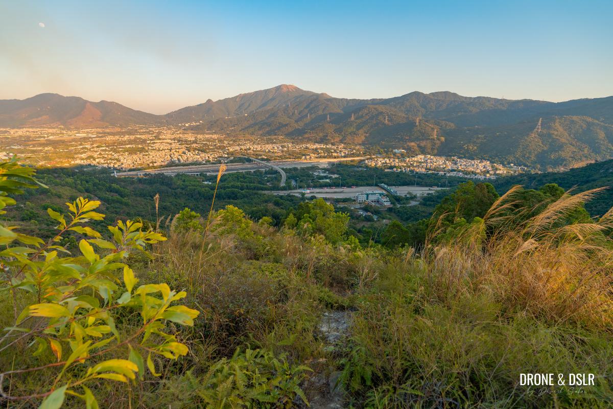
The scenic beauty of the rolling hills aside, the hike also rewards you with stunning views of Kai Kung Leng (Rooster Ridge), Tai Mo Shan, Tai To Yan, and the Shenzhen skyline.
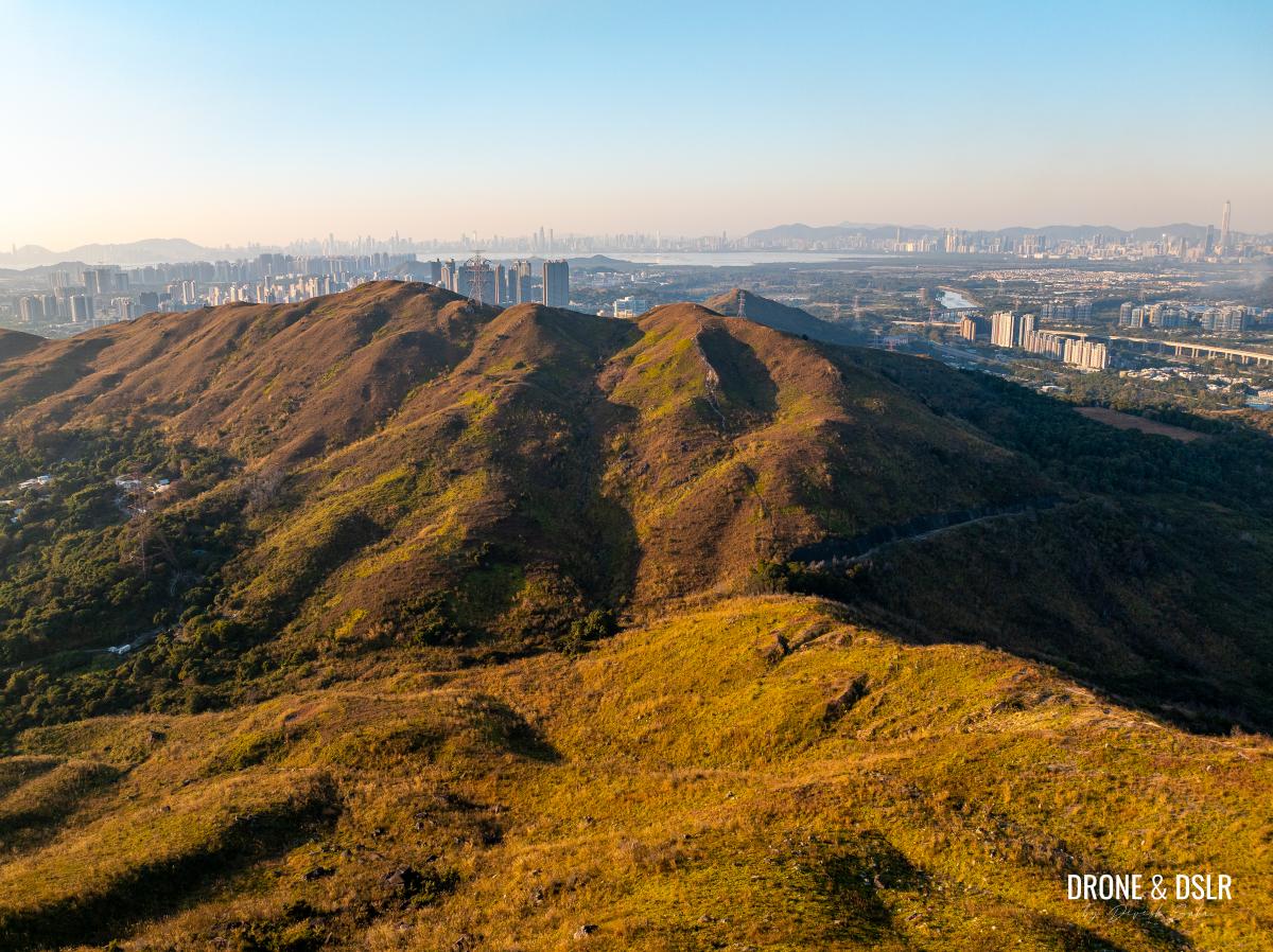
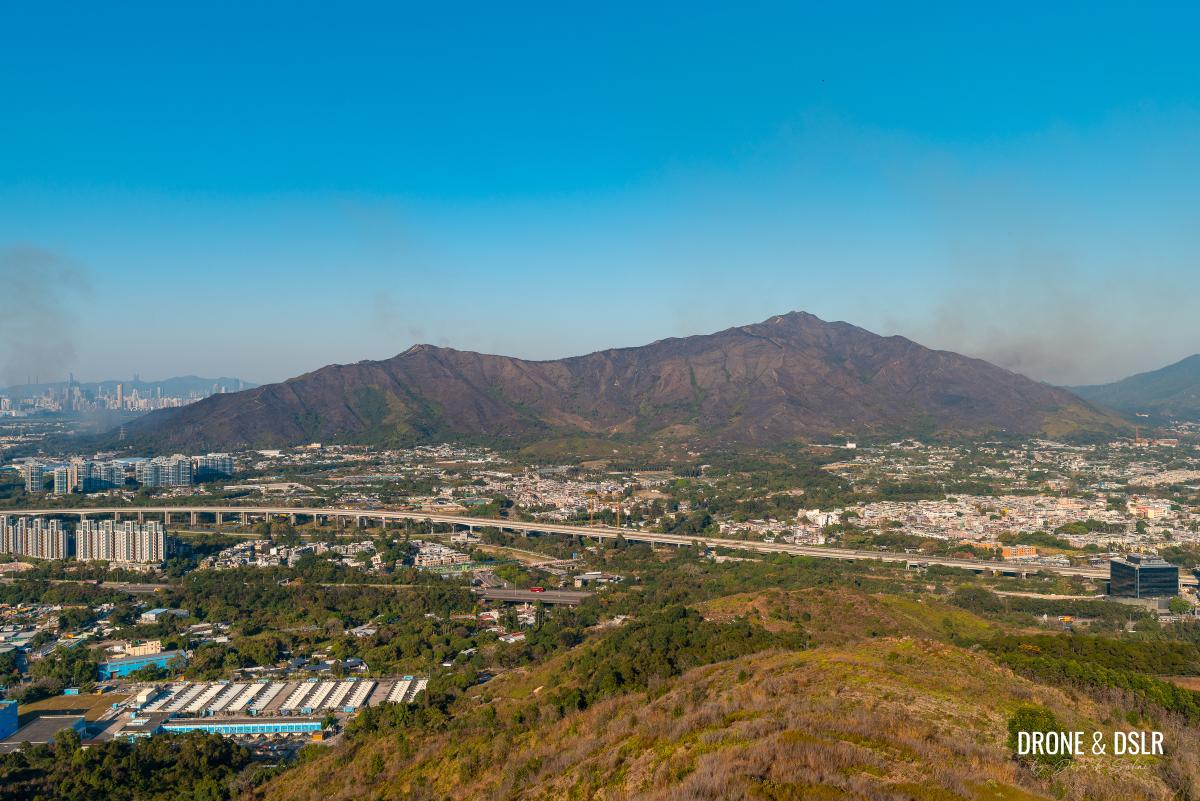
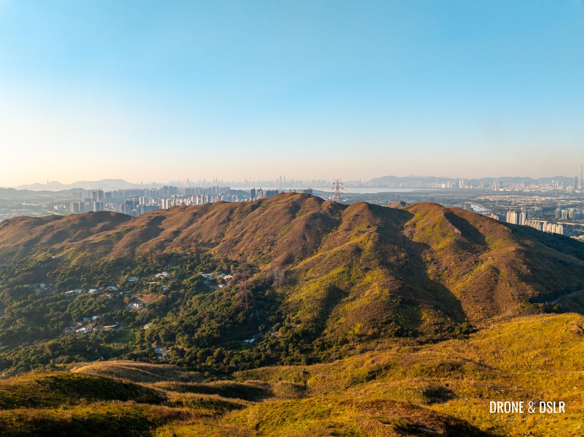
Cheung Ngau Shan, with the Shenzhen skyline in the background
So, if you’re looking for a scenic and moderately challenging hike in Yuen Long, read on.
About the Cheung Ngau Shan Hike
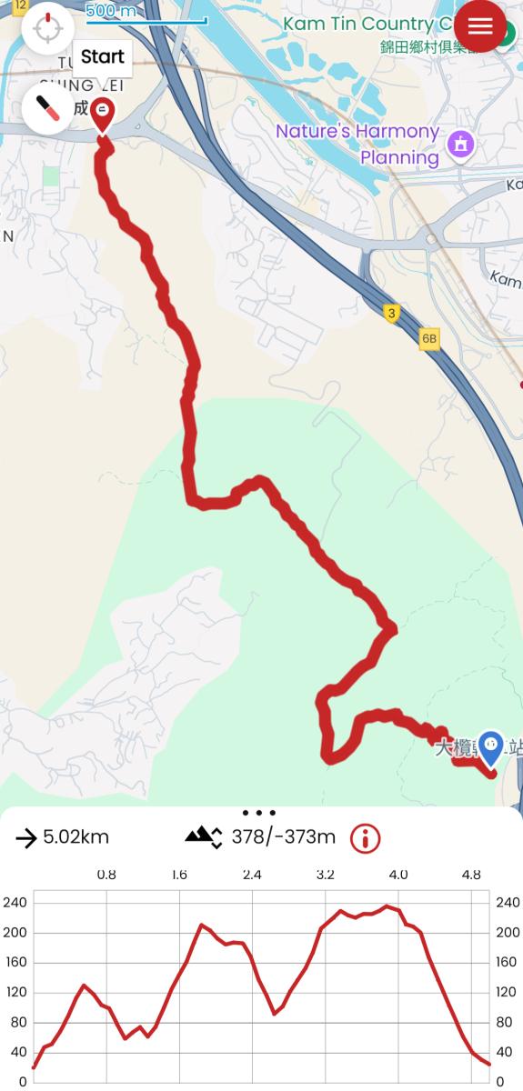
Cheung Ngau Shan Hike Trail & Elevation Map
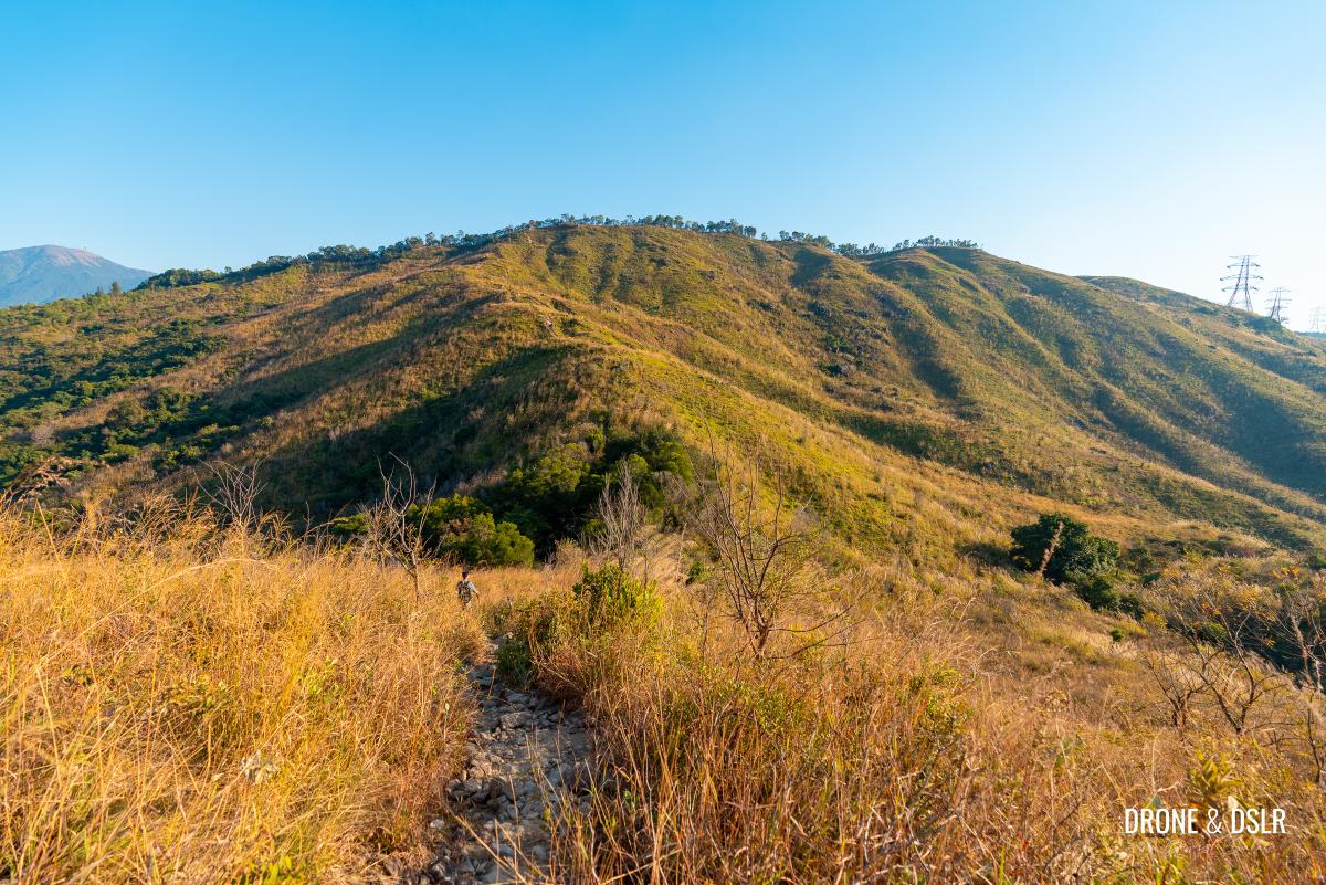
The area surrounding Cheung Ngau Shan is one of the more scenic regions in the New Territories in my opinion. From a distance, the lush, soft hills look quite photogenic and inviting. But once you’re hiking across them, they feel deceptively difficult.
The lush rolling hills of Cheung Ngau Shan
For starters, the 5 km hike crosses three hills — Ho Hok Shan (149 m), Cheung Ngau Shan (220 m), and Tseng Hang Shan (237 m). And as you can see in the elevation profile above, each hill is separated by a gap that’s roughly half its height. Which means, you’re constantly ascending and descending throughout the hike.
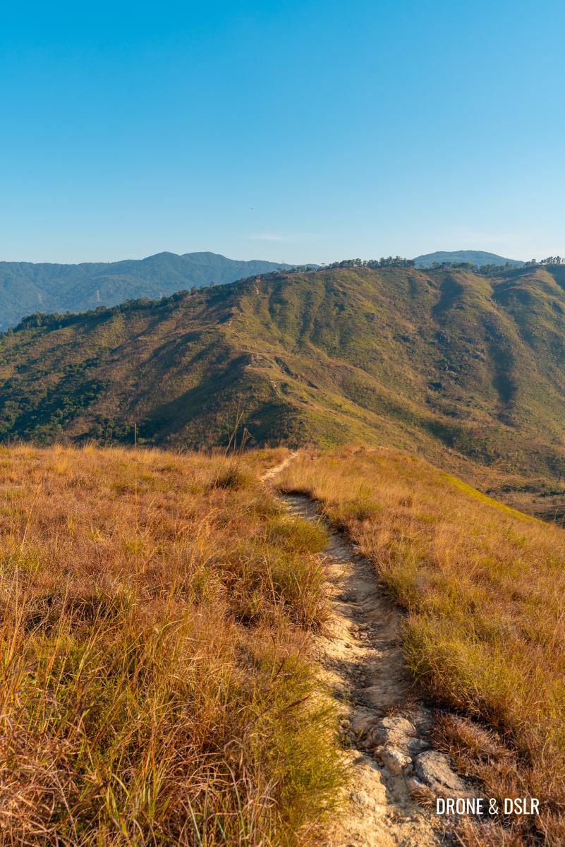
Gorgeous views of Tseng Hang Shan ahead
And right at the end, the hike connects with the picturesque Lam Chung Country Trail which runs on top of Tseng Hang Shan. But descending Tseng Hang Shan is another challenge altogether.
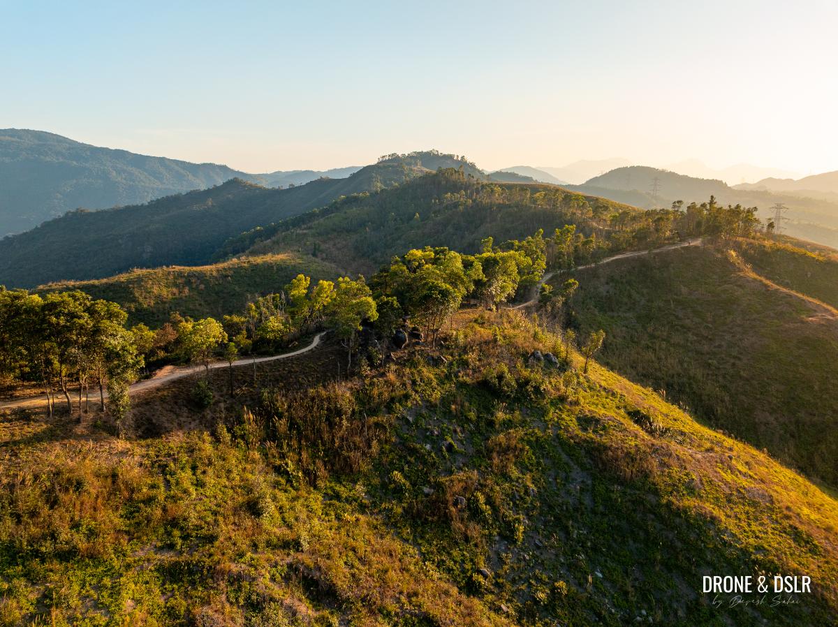
A clearer view of Lam Chung Country Trail hat runs on top of Tseng Hang Shan
So, with that out of the way, let’s start the Cheung Ngau Shan Hike!
Starting point
Although you could attempt to do this hike in reverse, tallest to shortest hill, we’re going to start from the shortest and make our way to the tallest hill.
To start the Cheung Ngau Shan Hike, make your way to Castle Peak Road — Yuen Long, between TWGHs C Y Ma Memorial College and the SARDA Au Tau Youth Centre.
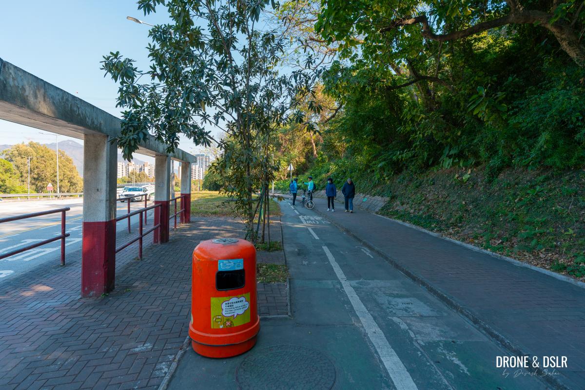
Tung Shing Lei bus stop
The most convenient way to arrive here is by bus at the Tung Shing Lei bus stop. There are plenty of KMB and LWB, and GMB routes that ply along this road.
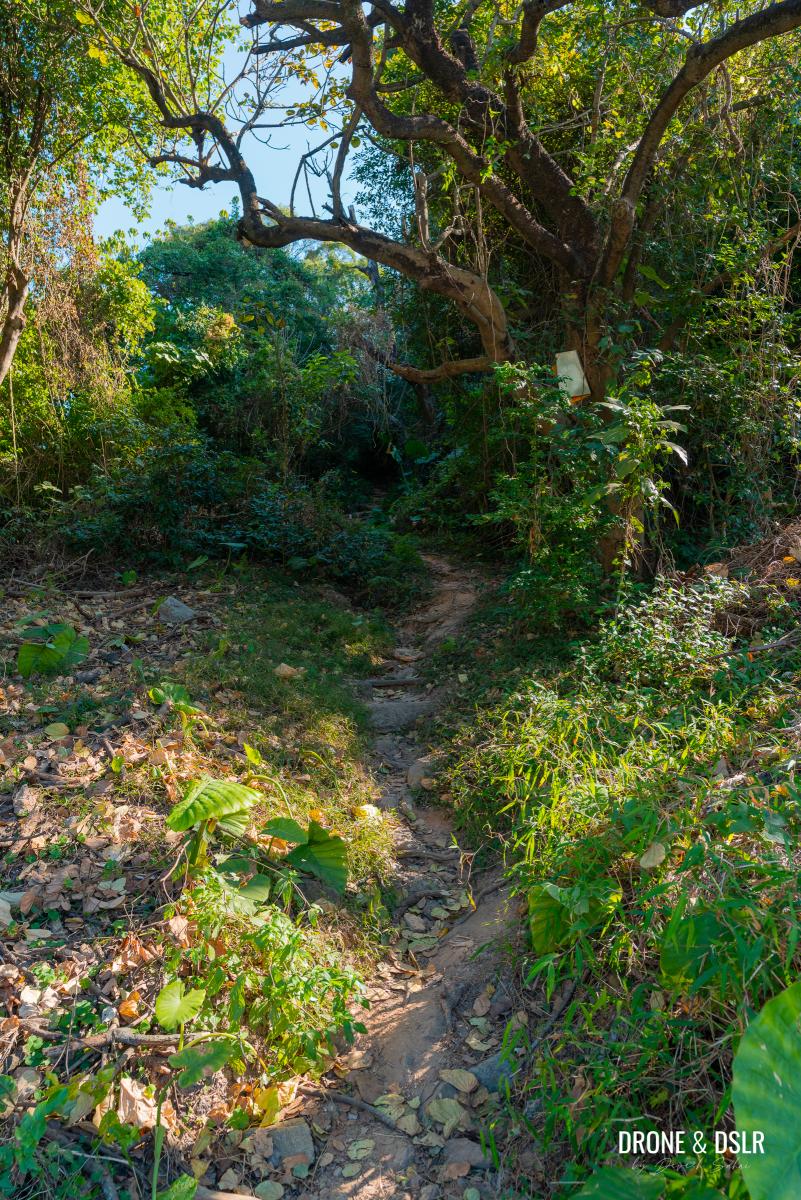
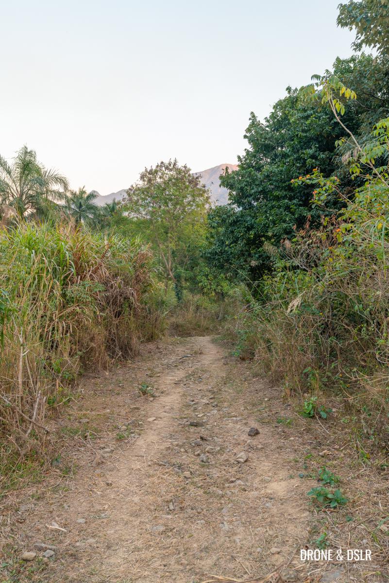
After getting off the bus, walk towards the Au Tau Youth Centre. Before reaching the centre, look for an unmarked trail leading into the wilderness from the pedestrian path.

There’s a clearing on the side as you walk towards the Au Tau Youth Centre – this is the starting point of the hike
This is the starting point for the Cheung Ngau Shan Hike.
To The Fence
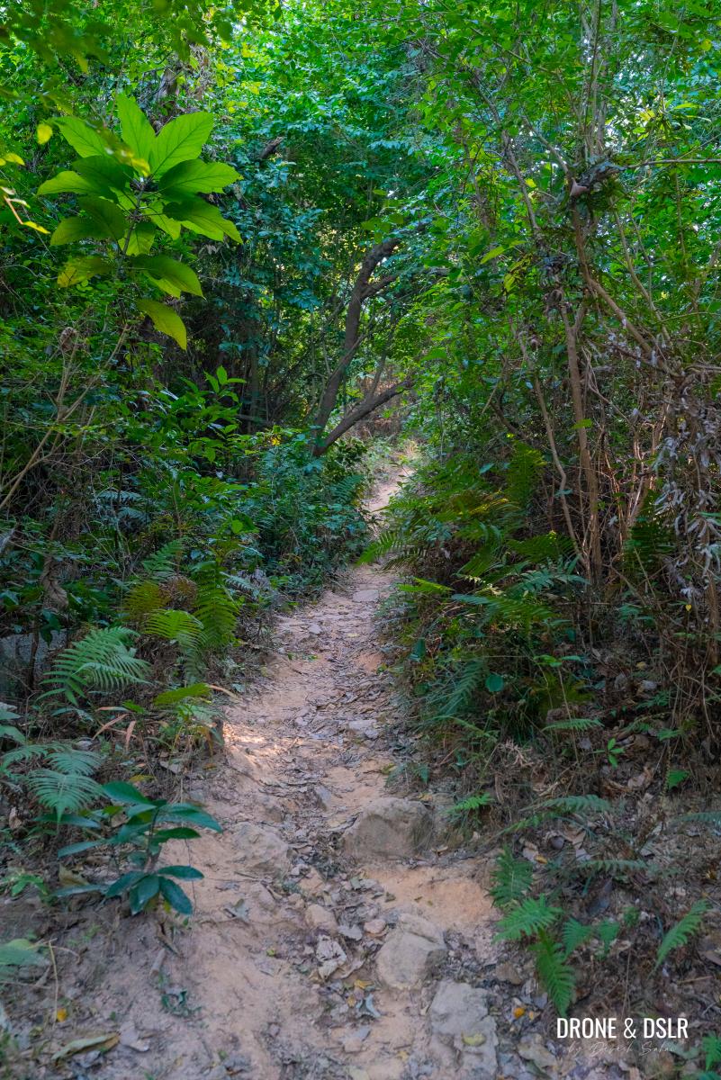
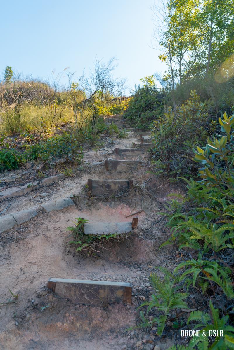
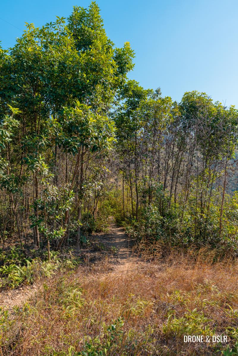
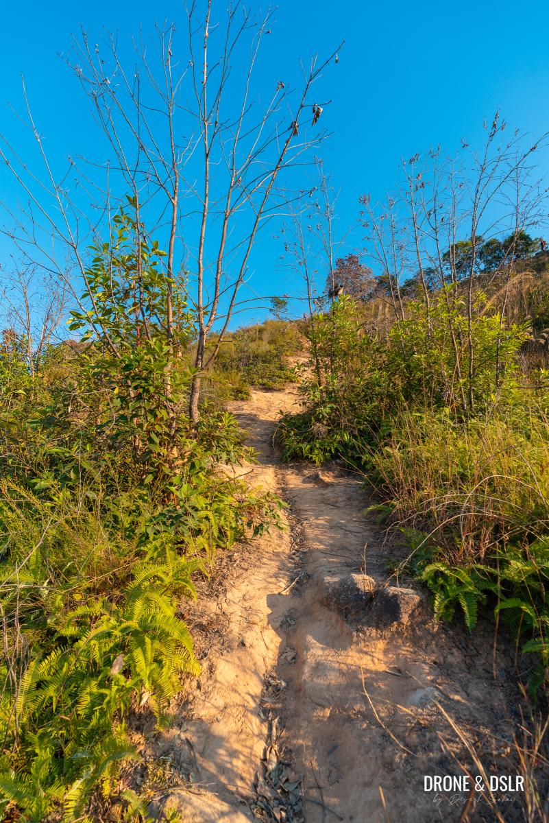
Upon entering the unmarked trail, you’ll leave the main road behind and find yourself in an area of wild vegetation. Continue through a shaded section until the path splits; then, take the flight of steps on the right to start climbing uphill.
-

- Enter the unmarked trail to begin the Cheung Ngau Shan Hike
-
- Walk through this shaded section, leaving the road behind
-
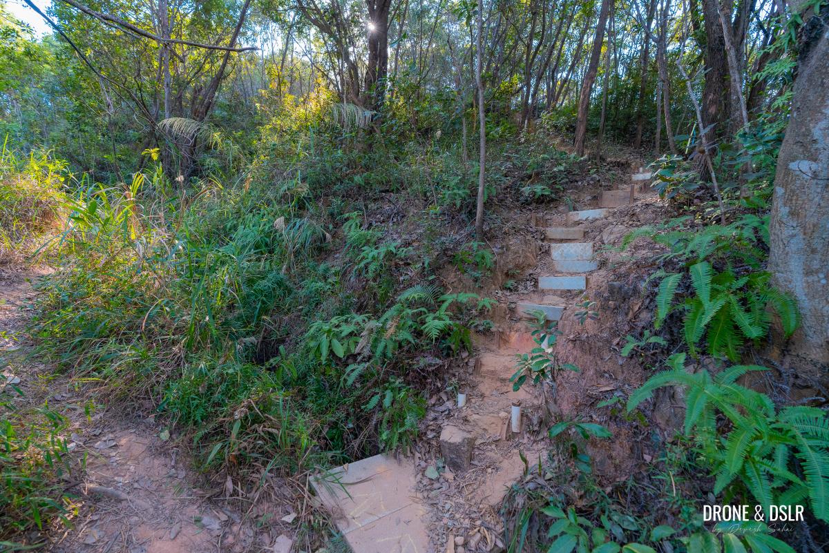
- After the shaded section, turn right, and walk up the steps
At the top of the steps, you’ll find a makeshift bridge. Cross it to reach another makeshift bridge.
-
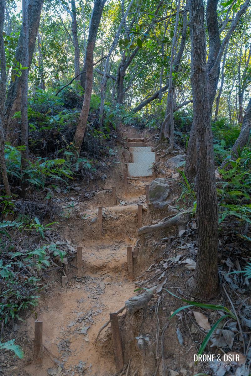
- Walk uphill
-
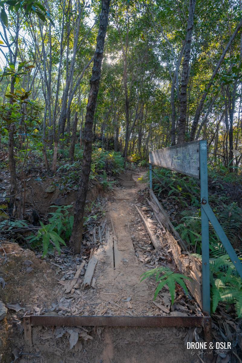
- Cross the first makeshift bridge
-
- Cross the second makeshift bridge
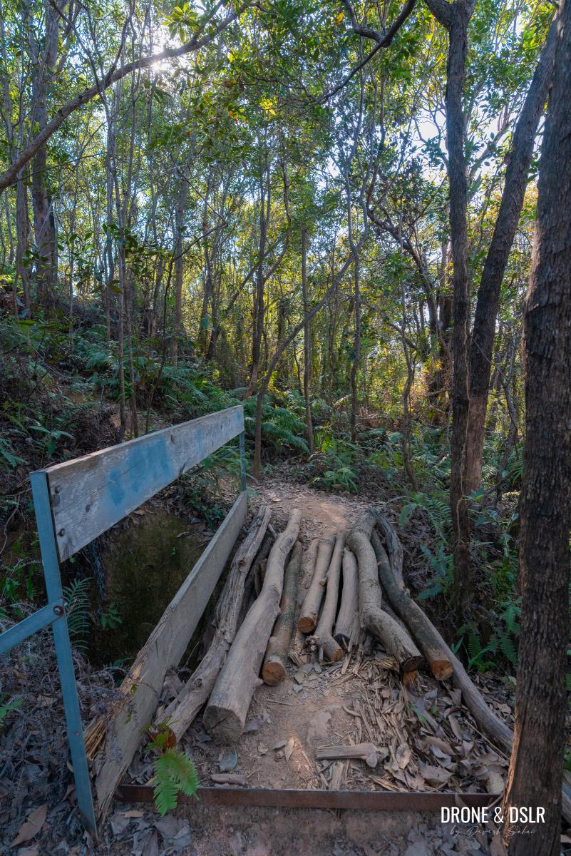
These bridges seem fragile, and I hope someone replaces the wooden planks if they ever break or collapse.
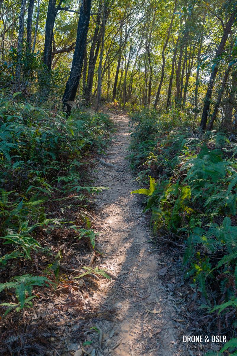
Anyway, after the second bridge, the trail curves to the left as it continues to gently climb before arriving at a fence.
-
- The trail continues after the bridges
-
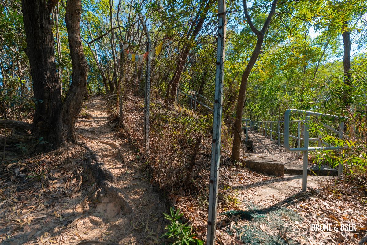
- You’ve arrived at the fence. At this point, take the trail on the left.
To Ho Hok Shan
The fence divides the trail again, with one path to the right and another to the left. Continue the hike by taking the path on the left side of the fence.

Walk alongside the fence
This path along the fence is narrow, and the trees and shrubs create a tunnel-like effect. Further ahead, the trail reaches another set of narrow steps as it continues alongside the fence.
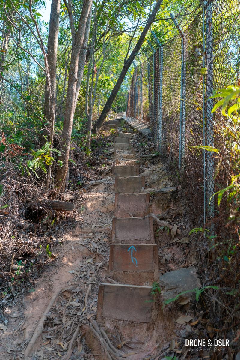
Climb alongside the fence
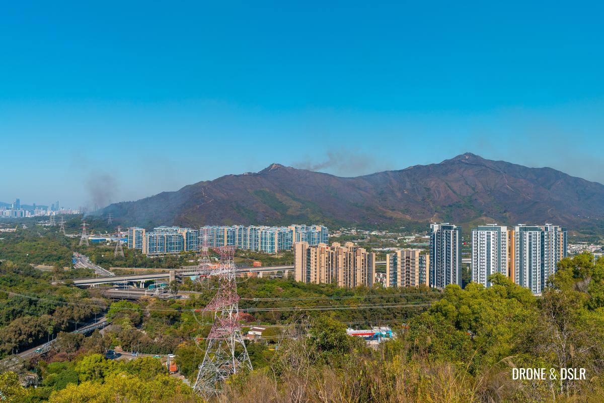
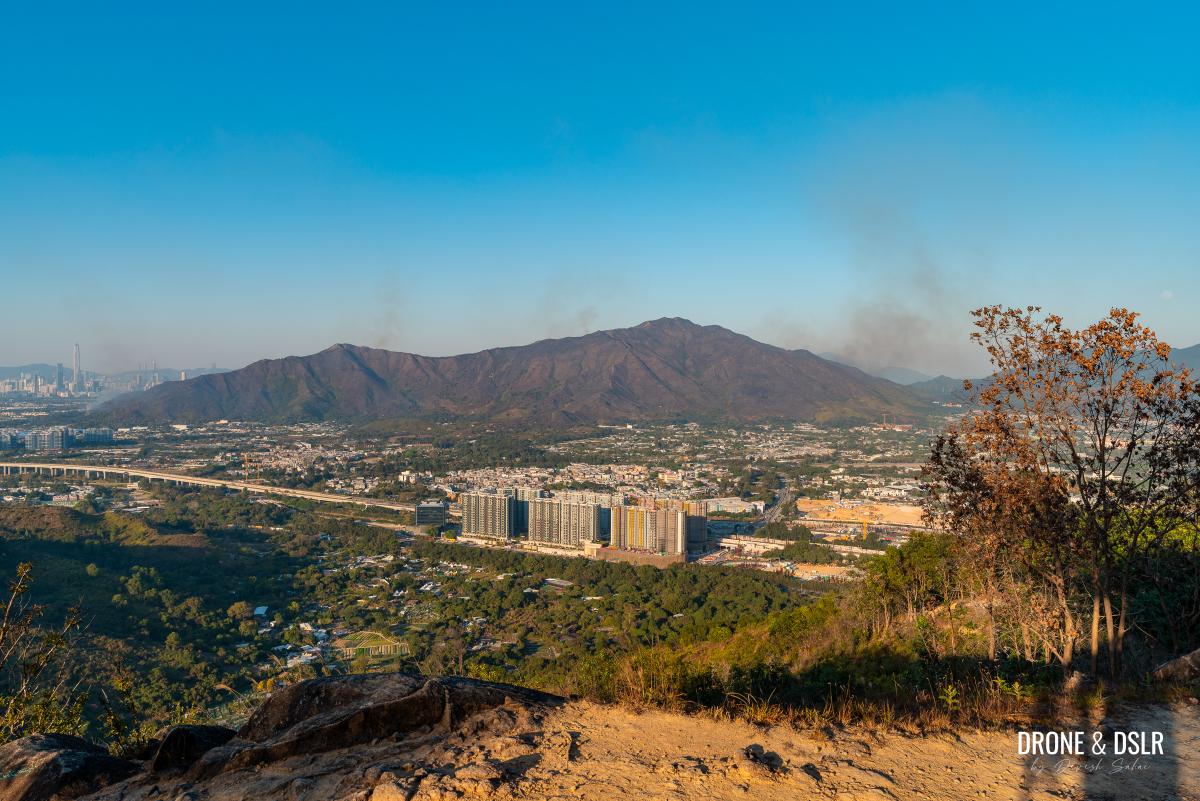
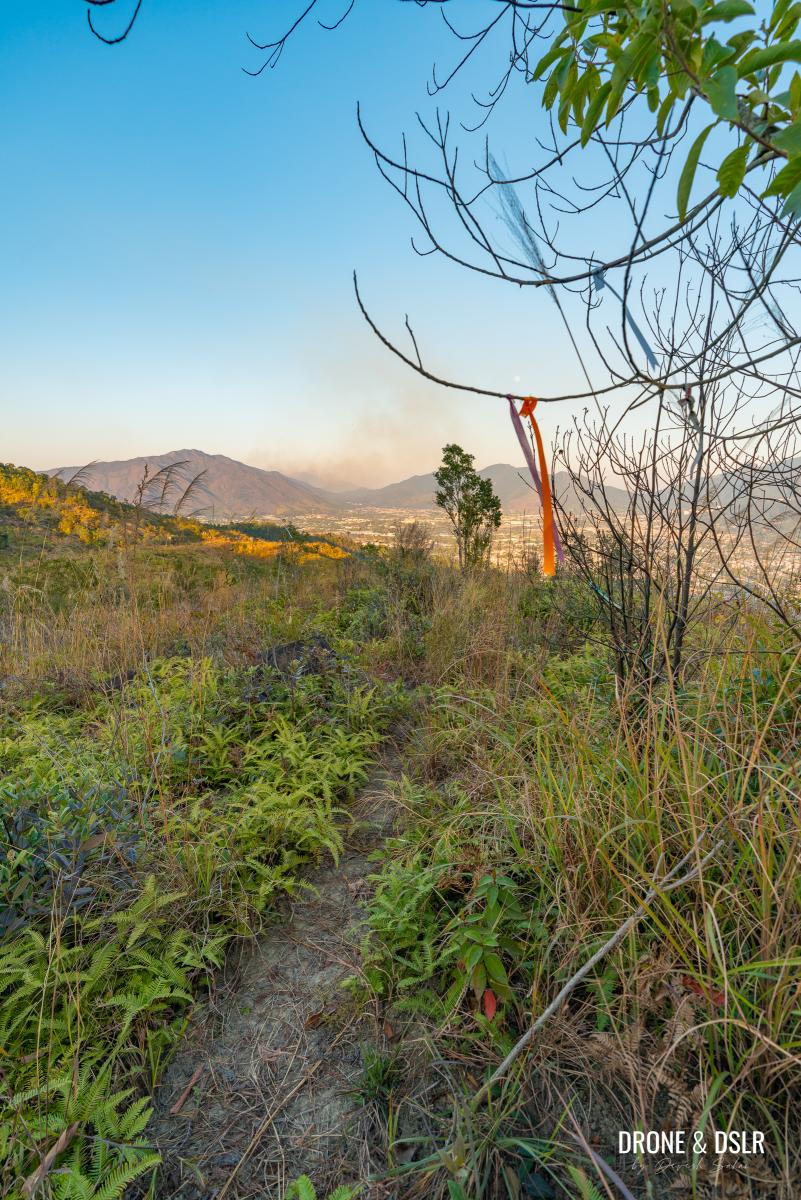
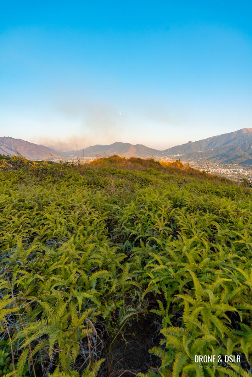
As you climb, the trail emerges above the tree line, leaving the fence behind and offering your first view of Kai Kung Leng and the Shenzhen skyline. (Sadly, the day we hiked, there was a wildfire that had broken out on Kai Kung Leng).
-
- Leave the fence behind, and keep walking uphill
-
- The first view of Kai Kung Leng behind us (sadly there was a wildfire)
-
- First proper views of Shenzhen from the Cheung Ngau Shan Hike
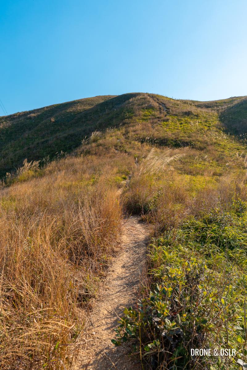
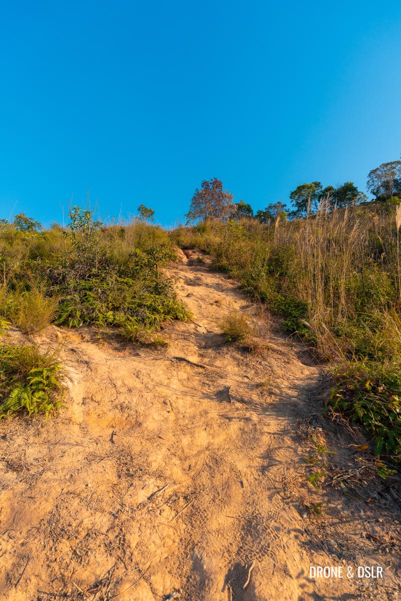
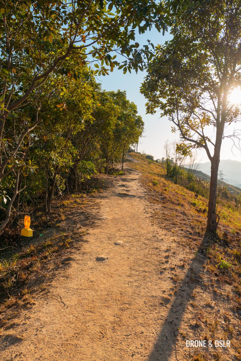
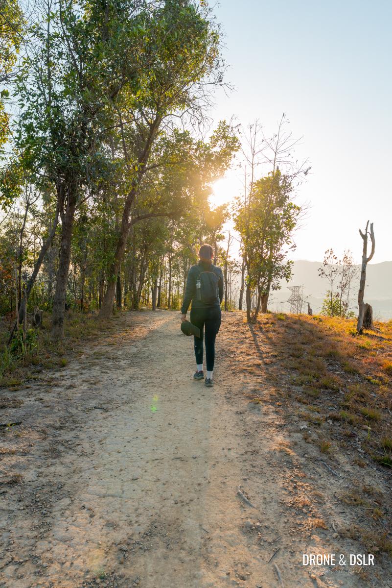
Continue following the trail as it winds uphill. With fewer trees, the path and the hill ahead remain clearly visible.
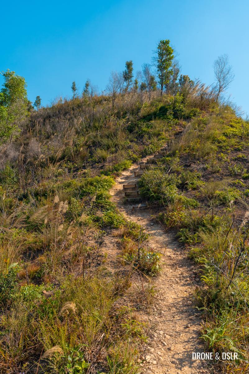
Keep hiking uphill
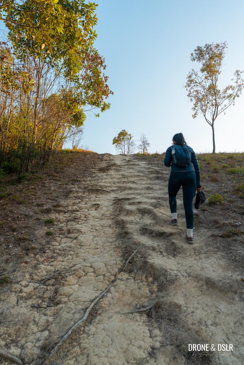
The trail is relatively easy, aside from a short, steep climb just before Ho Hok Shan.
-
- The lack of trees makes it easy to follow the trail and notice the hill up ahead
-
- Got to exert a little to make it to the top of Ho Hok Shan
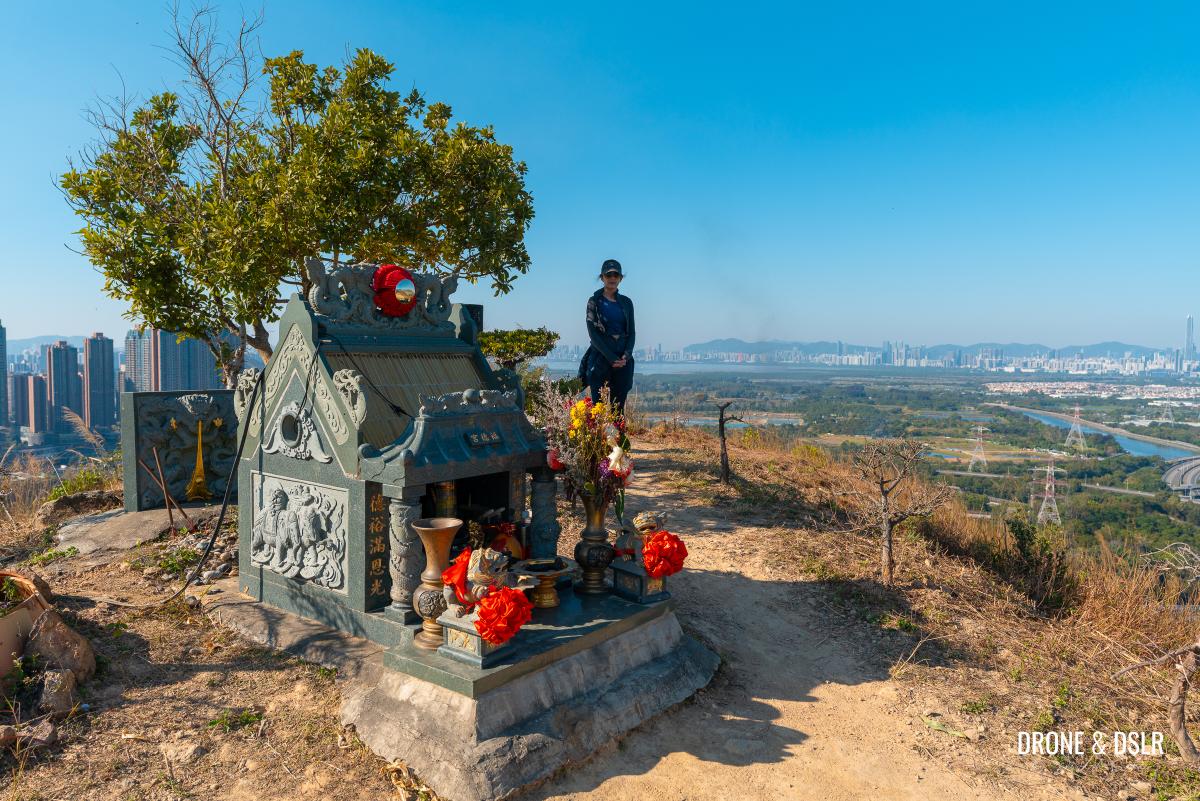
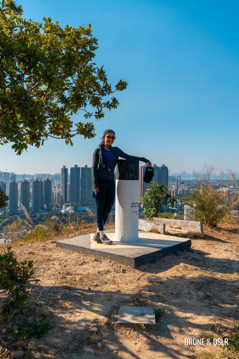
The summit of Ho Hok Shan (149 m) is marked by a small shrine. Take a moment to admire the views of Yuen Long, Shenzhen, and Kai Kung Leng before continuing.
-
- Ho Hok Shan
-
- The shrine on the summit of Ho Hok Shan
-
- We made it to Ho Hok Shan, the first hill on the Cheung Ngau Shan Hike
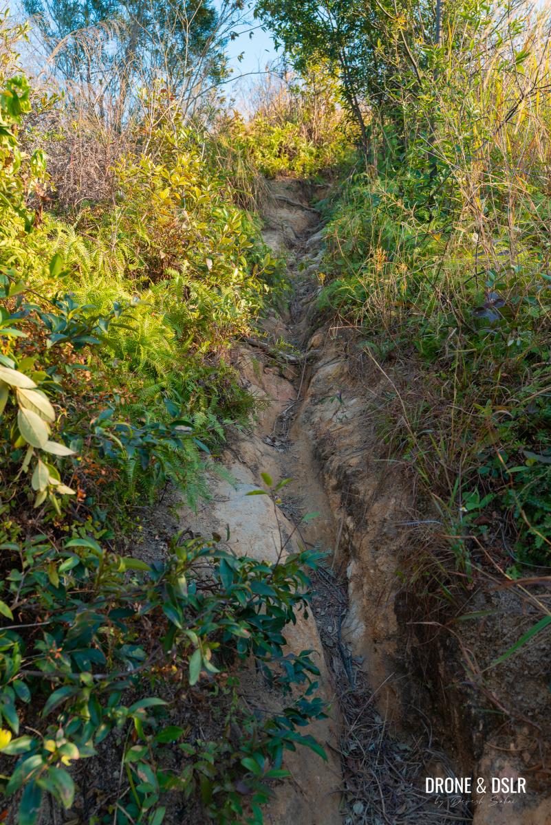
The Gap Between Ho Hok Shan and Cheung Ngau Shan
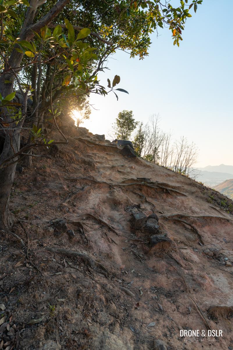
The initial descent from Ho Hok Shan can be slightly tricky thanks to the dry trail with the loose rocks. But once you get past that, the trail becomes easier to walk on.
-
- Time to descend from Ho Hok Shan (yes, that’s Cheung Ngau Shan straight ahead)
-
- Be careful as you descend Ho Hok Shan
There are hardly trees on this section of the hike, which makes it possible to admire the undulating landscape all around.
The trail becomes easier after the initial descent from Ho Hok Shan
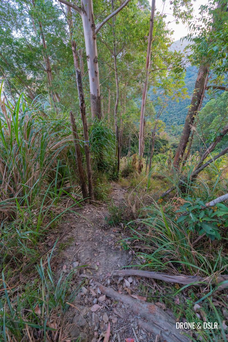
As you continue, you’ll notice a large patch of trees ahead, situated in the gap between Ho Hok Shan and Cheung Ngau Shan.
The patch of trees between Ho Hok Shan and Cheung Ngau Shan
Enter the shaded area and follow the trail as it leads you out the other side.
Exit the wooded area and keep following the trail towards Cheung Ngau Shan
To Cheung Ngau Shan
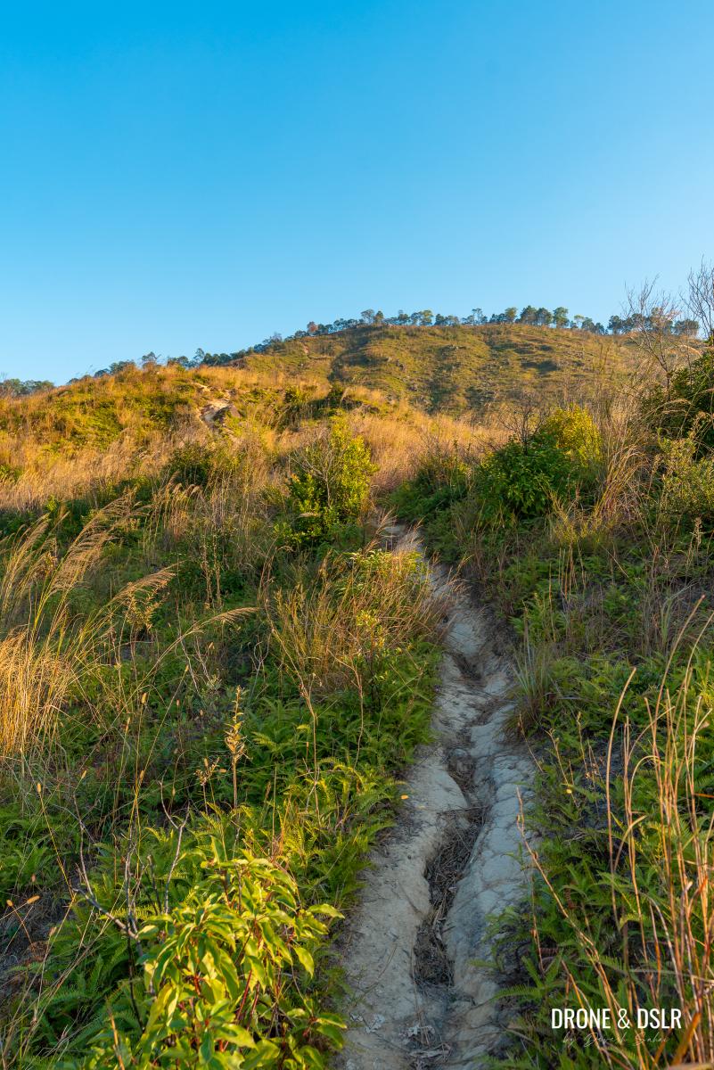
As the trail exits the trees, it begins a gradual ascent towards Cheung Ngau Shan.
Now entering the grassy section of the Cheung Ngau Shan Hike
The trail initially passes a cemetery before reaching the lush, grassy area that gives these hills their rolling texture.
-
- Walk past the cemetery
-
- Grassy overgrowth
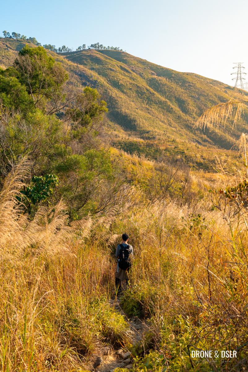
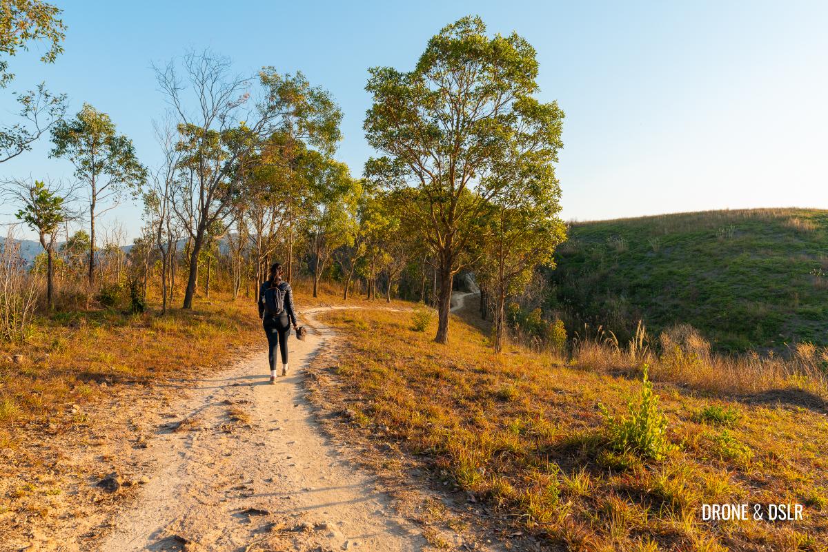
Depending on the season in which you hike Cheung Ngau Shan, the grass can be lush and green, or sprouting silvergrass, which is what we encountered.
Re-enacting the Gladiator scene on the Cheung Ngau Shan Hike
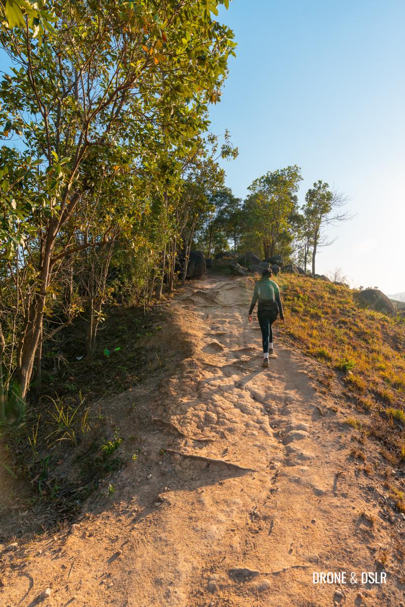
Walking through the silvergrass with Cheung Ngau Shan directly ahead, bathed in the afternoon sun, felt idyllic.
-
- The Cheung Ngau Shan Hike is quite scenic
-
- Depending on the season, the grass may differ. We were fortunate to have hiked through slivergrass.
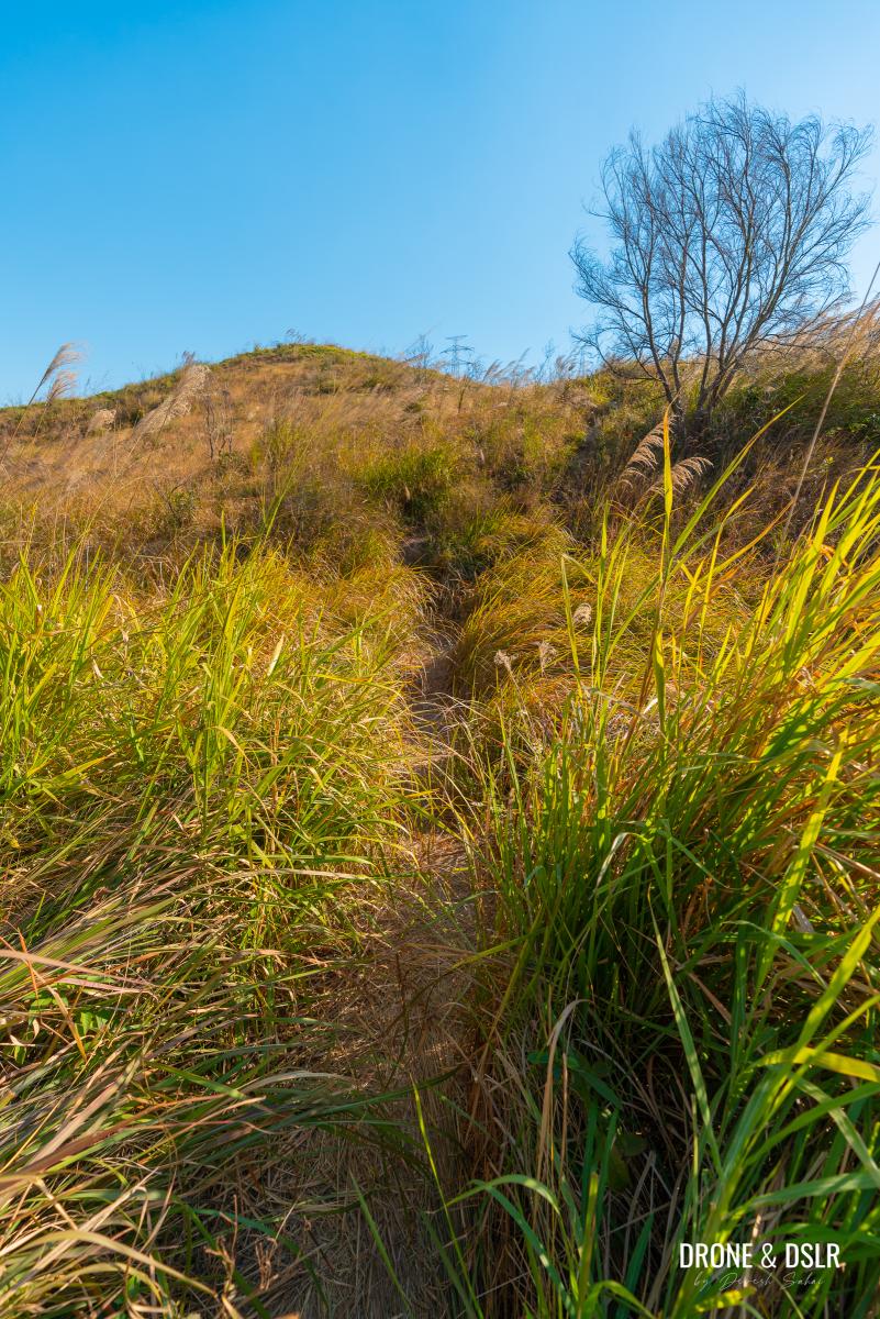
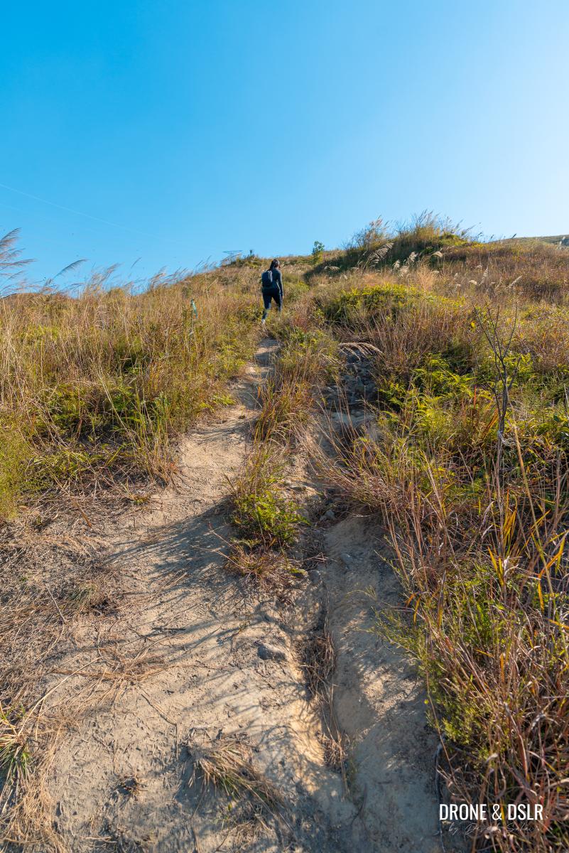
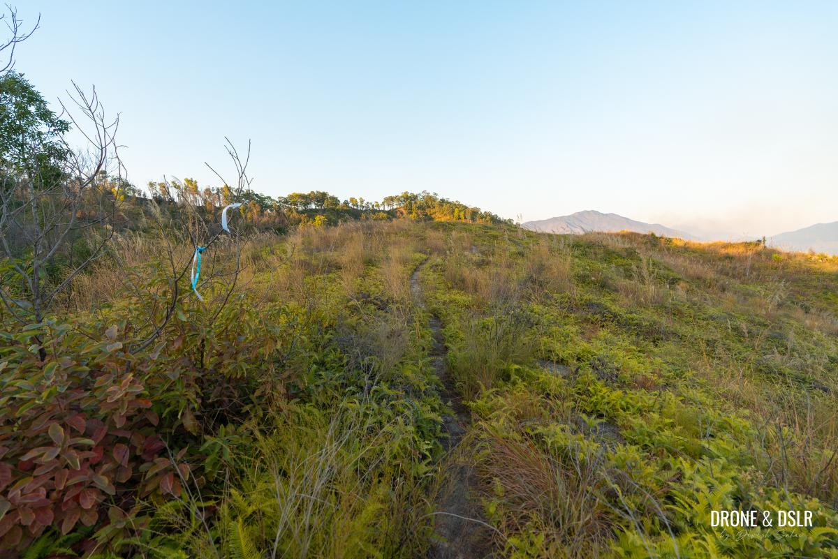
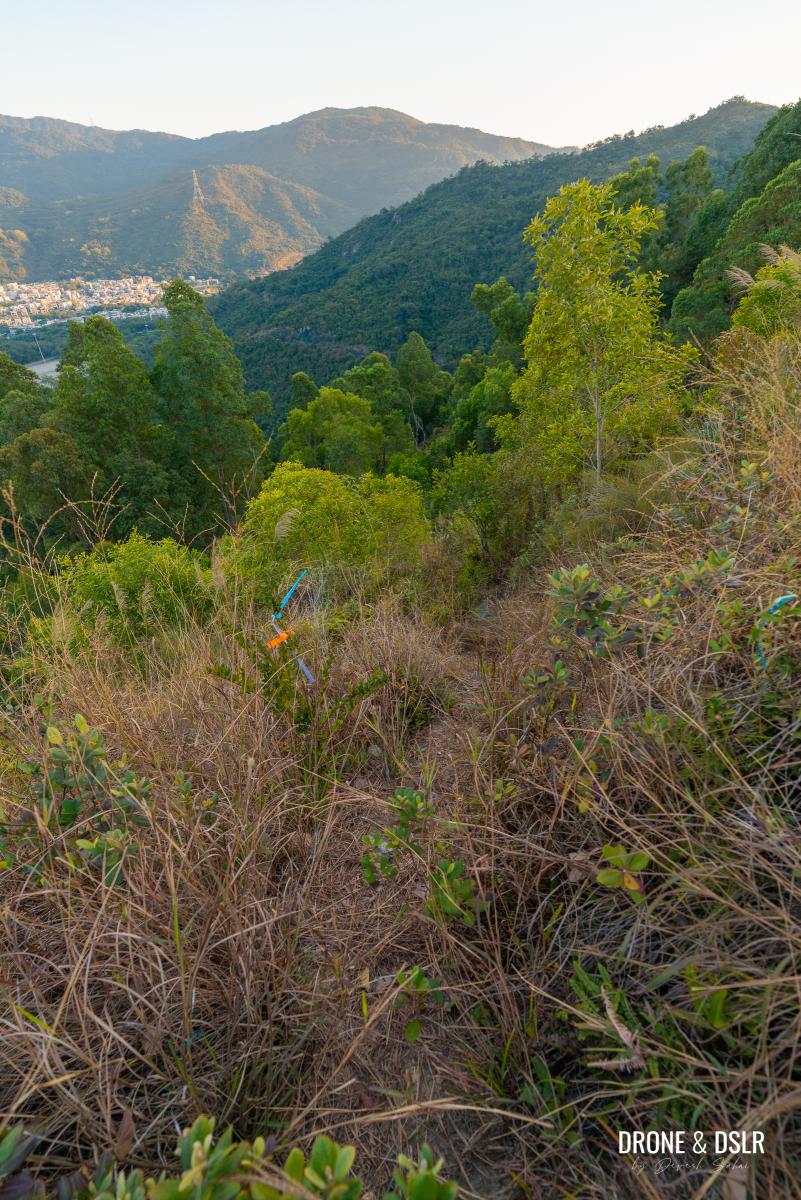
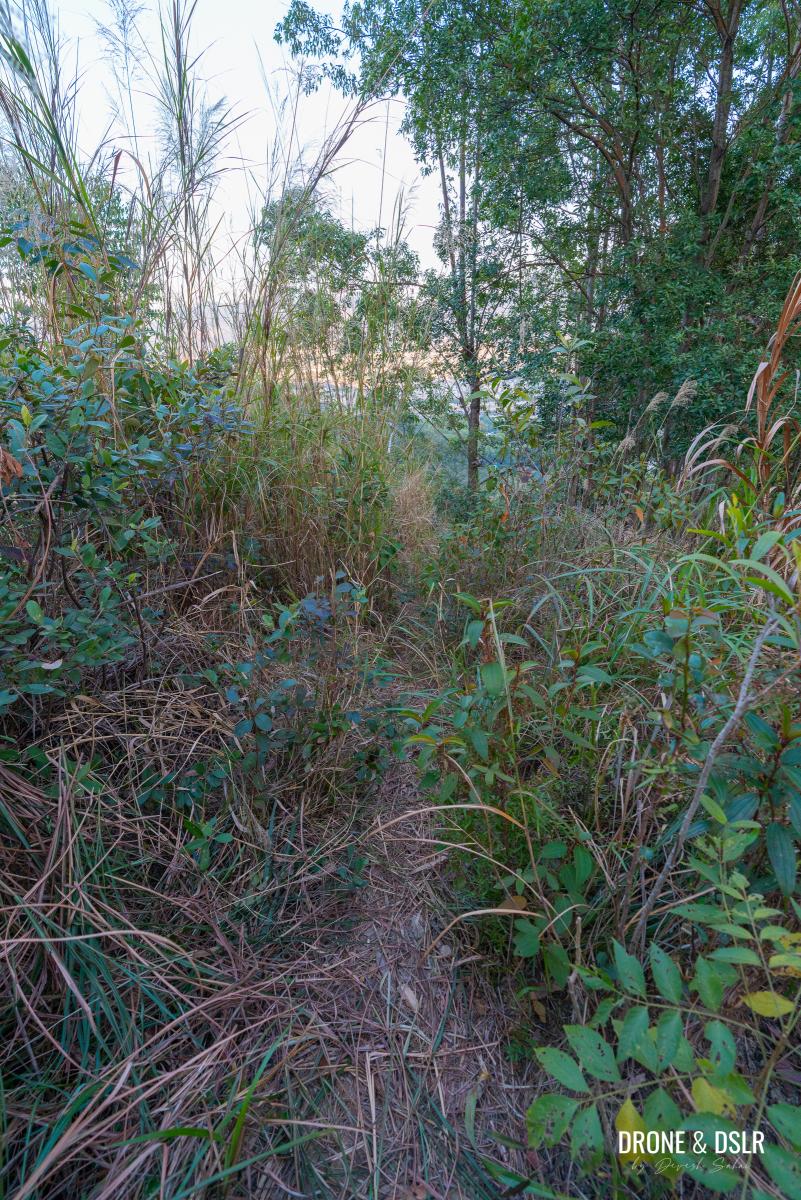
The trail is easy to follow, even with the tall surrounding grass. If you’re unsure of the path, look for ribbon markers.
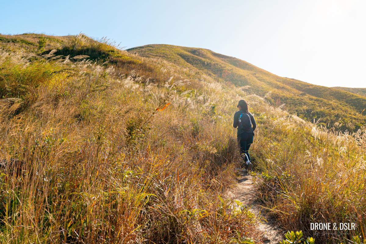
The lush, grassy texture, and the soft rolling hills make the Cheung Ngau Shan Hike quite picturesque
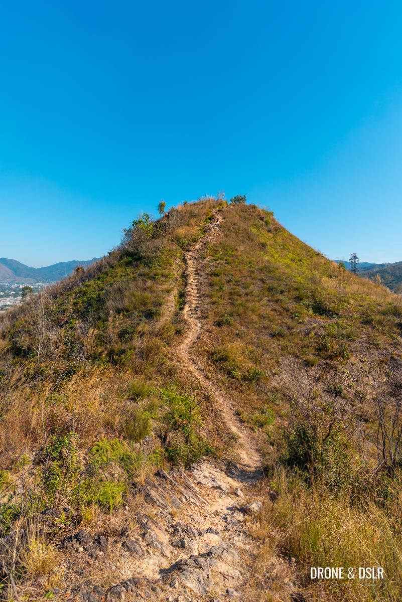
As you reach the base of Cheung Ngau Shan, the climb begins. The ascent to Cheung Ngau Shan never feels too intense. After all, it’s only 220 m, and you’re starting from approximately 85 m after the patch of trees.
-
- The ascent to Cheung Ngau Shan begins
-
- The climb to Cheung Ngau Shan isn’t all that challenging
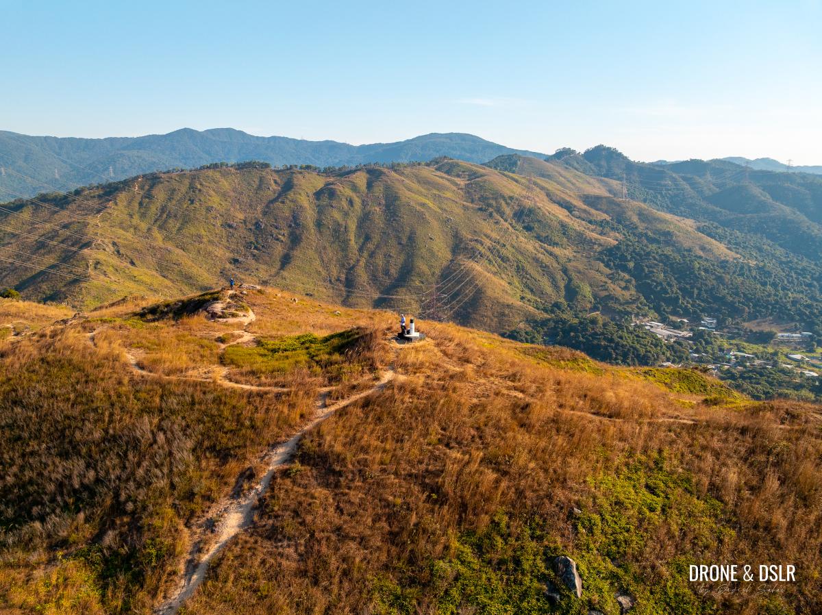
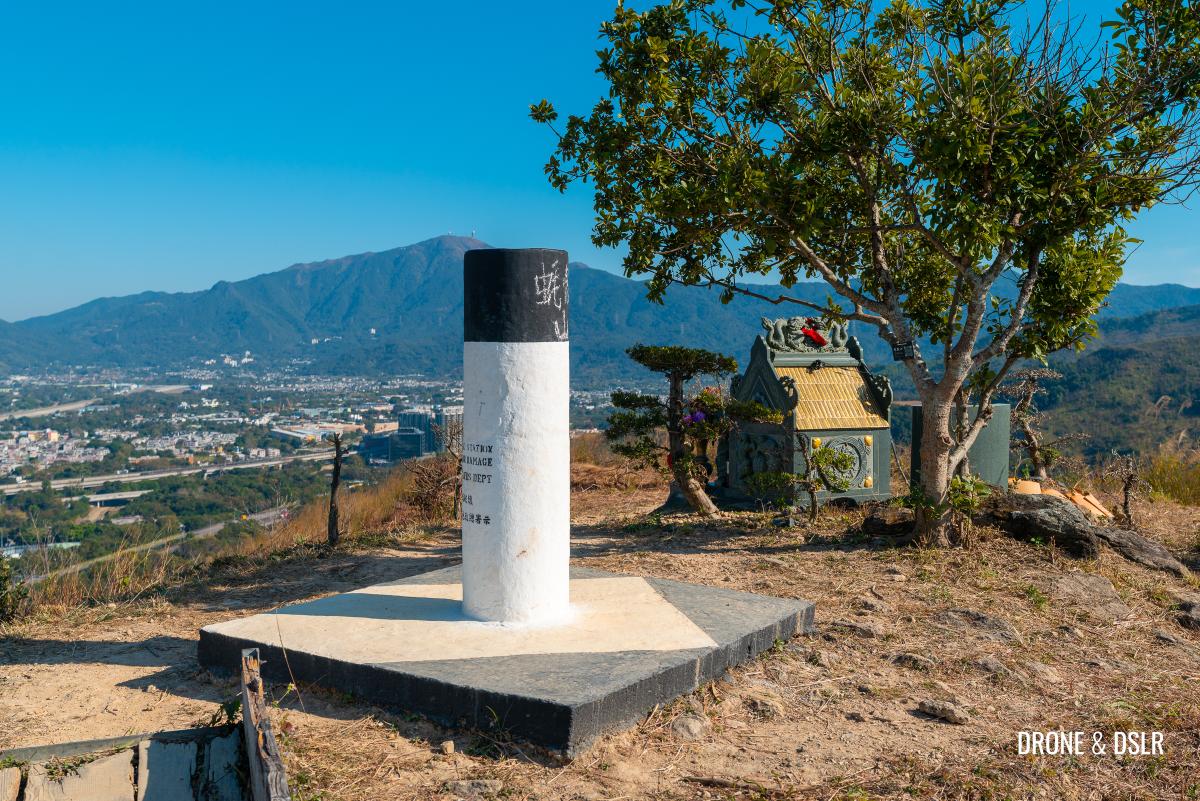
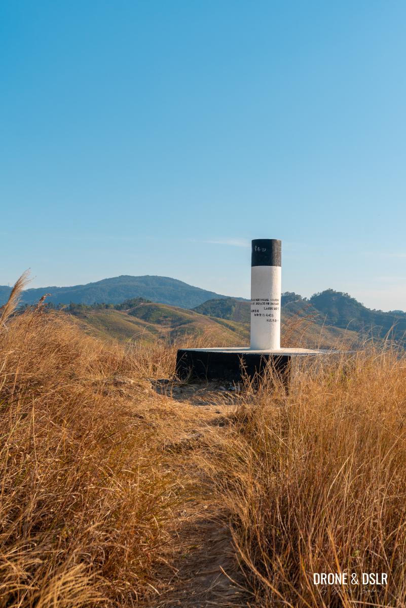
Continue climbing until you reach the Cheung Ngau Shan triangulation station. Take a moment to enjoy the views from here, particularly of Tseng Hang Shan, the hill directly ahead.
-
- The final few metres to the top of Cheung Ngau Shan
-
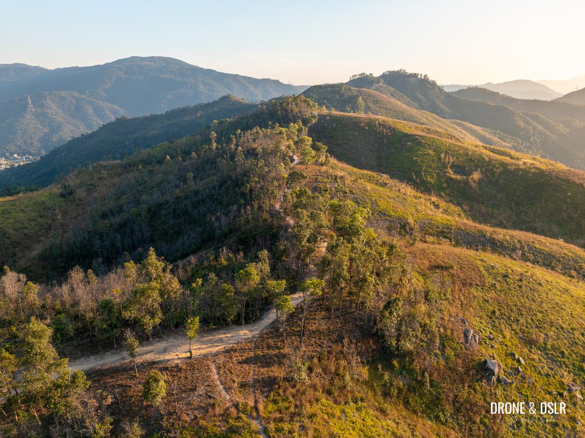
- The Cheung Ngau Shan triangulation station, a.k.a. the top of Cheung Ngau Shan
-
- Aerial view of Cheung Ngau Shan
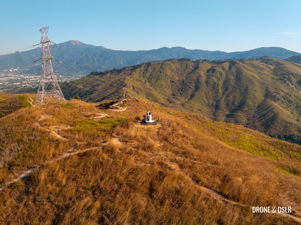
To Ng Kwu (Lookout Point)
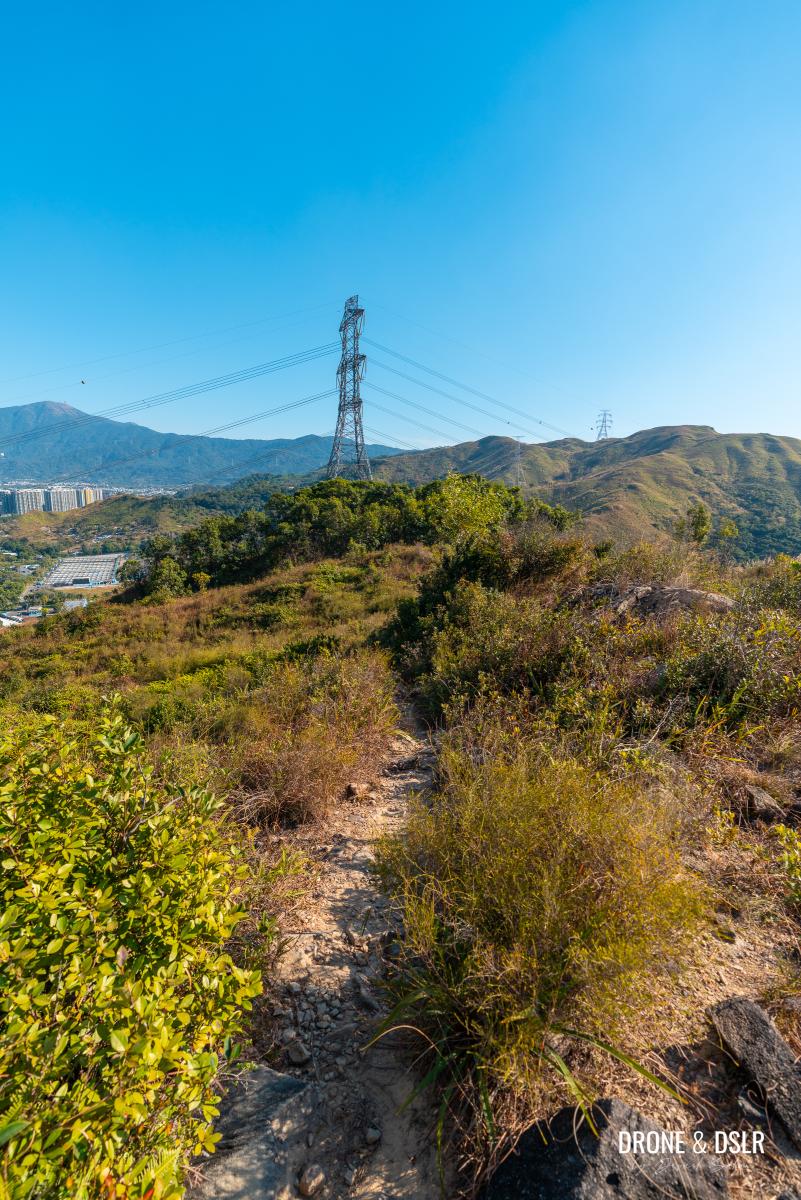
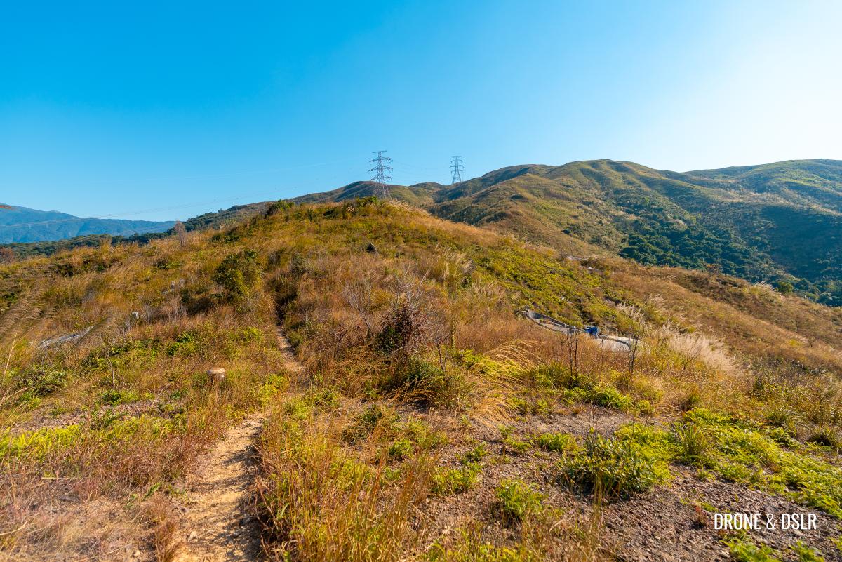
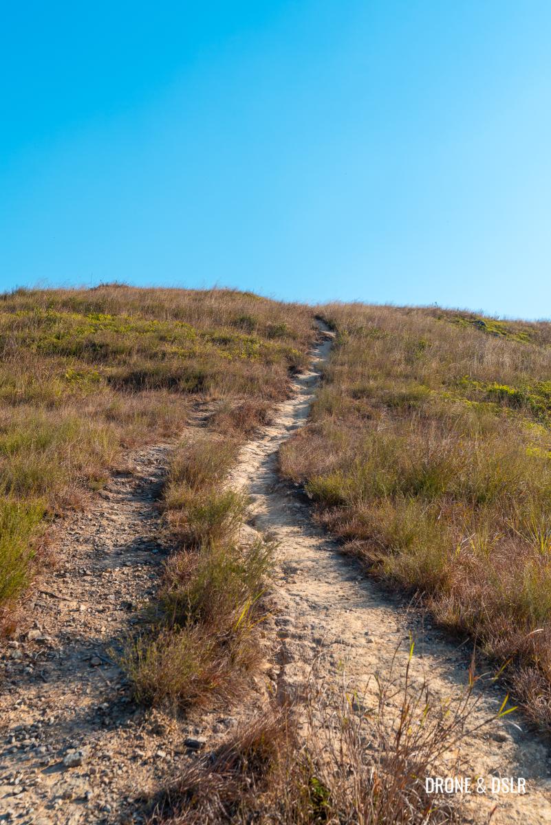
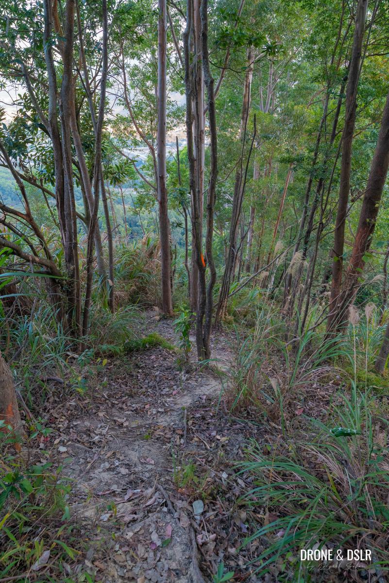
The lack of trees on these hills once again makes it easy to follow the trail.
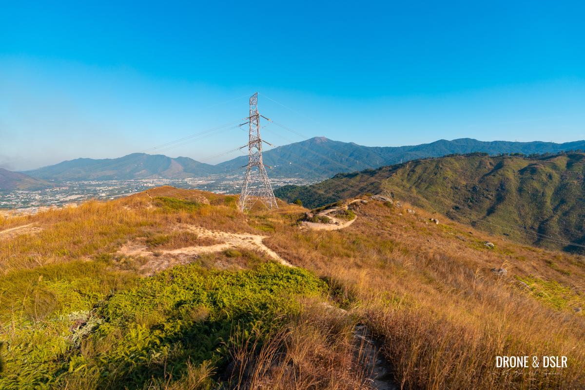
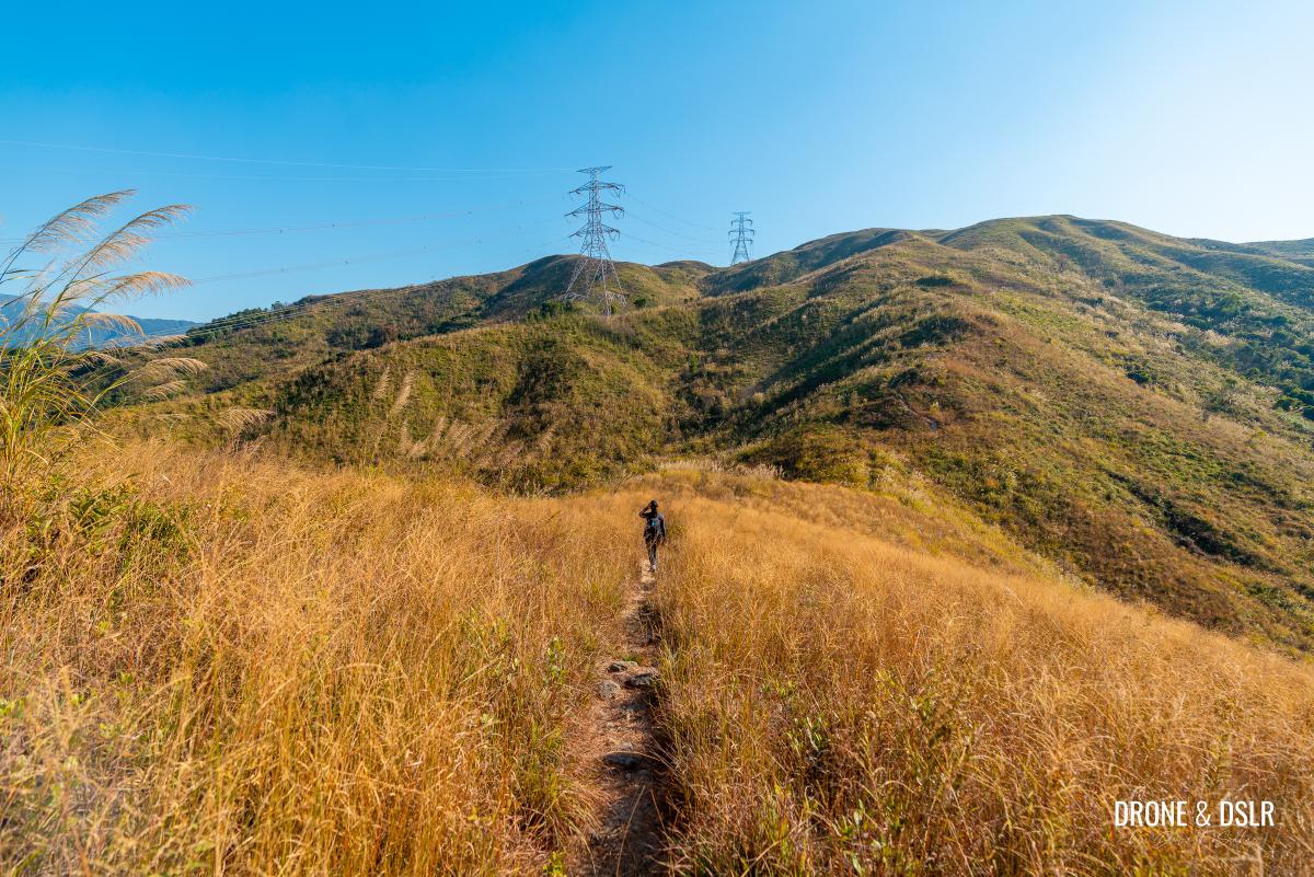
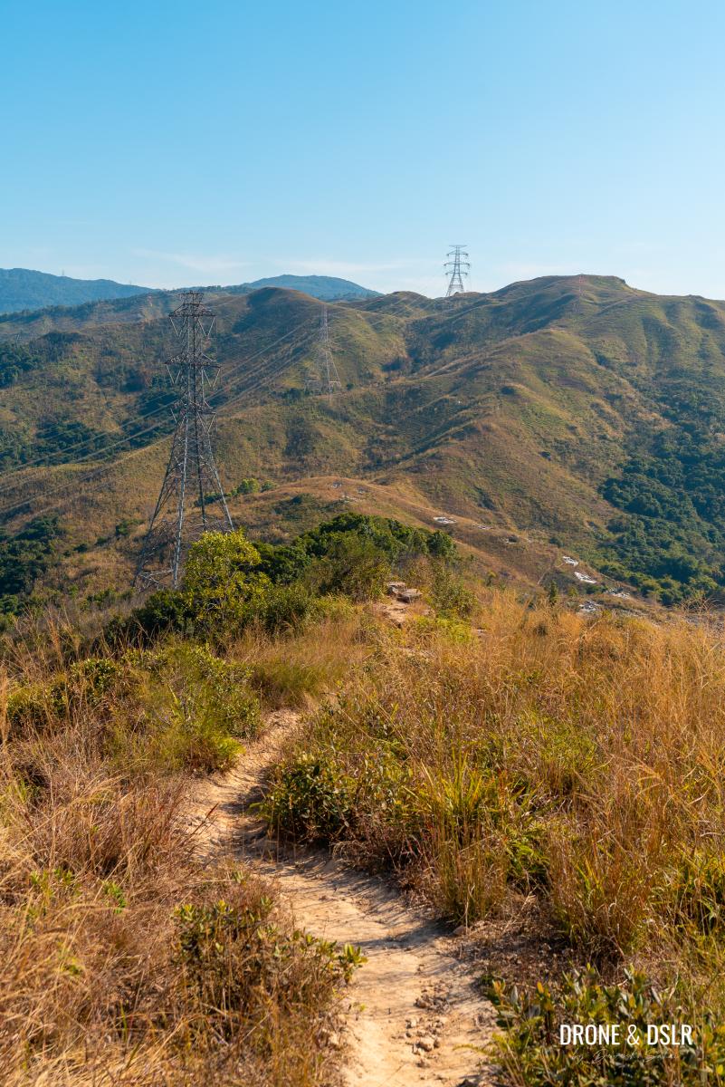
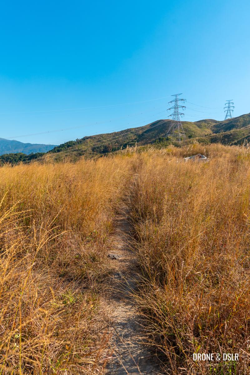
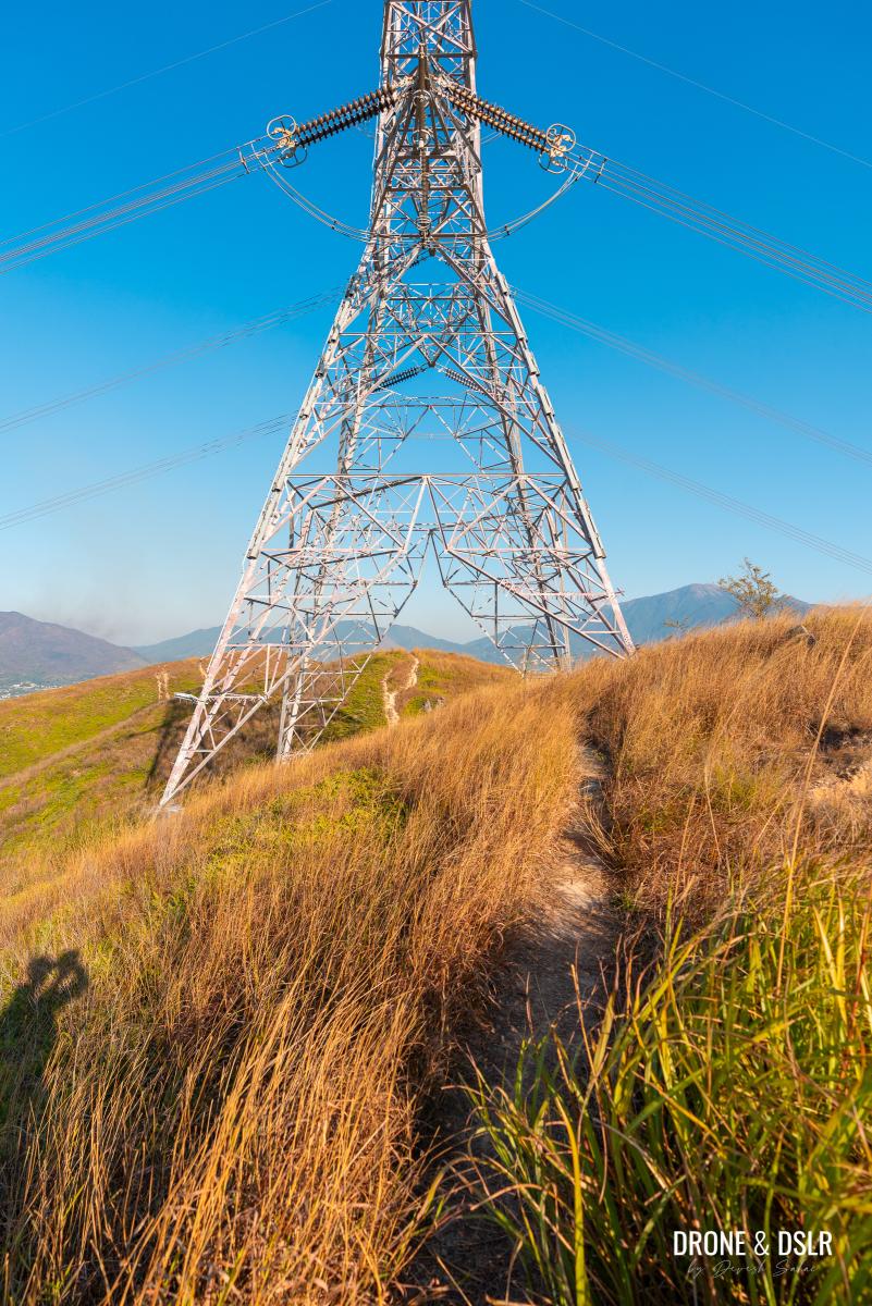
The trail continues towards the transmission tower
From the top of Cheung Ngau Shan, follow the trail towards the transmission tower. Walk under the tower and continue as a small mound (Ng Kwu) appears ahead.
-
- The trail goes under the transmission tower
-
- That little mound is Ng Kwu, and it offers a lovely lookout point
Walk to the base of mound, where you have a decision to make — climb up the mound to the viewpoint, or walk around it.
Right under the mound, you can decide whether to climb it for the viewpoint (go left), or skip it (go straight)
I decided to scramble up the mound and wasn’t disappointed by the views.
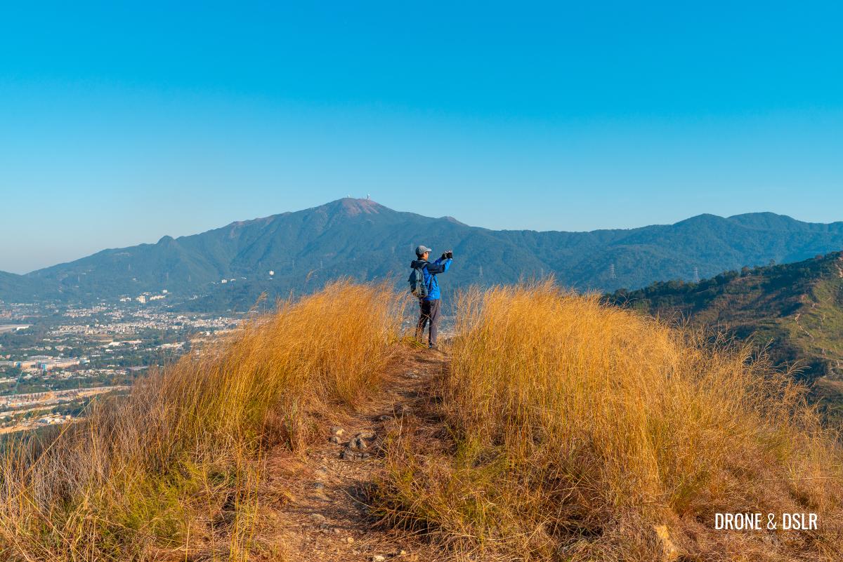
Ng Kwu (Lookout Point)
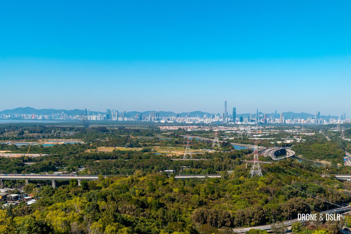
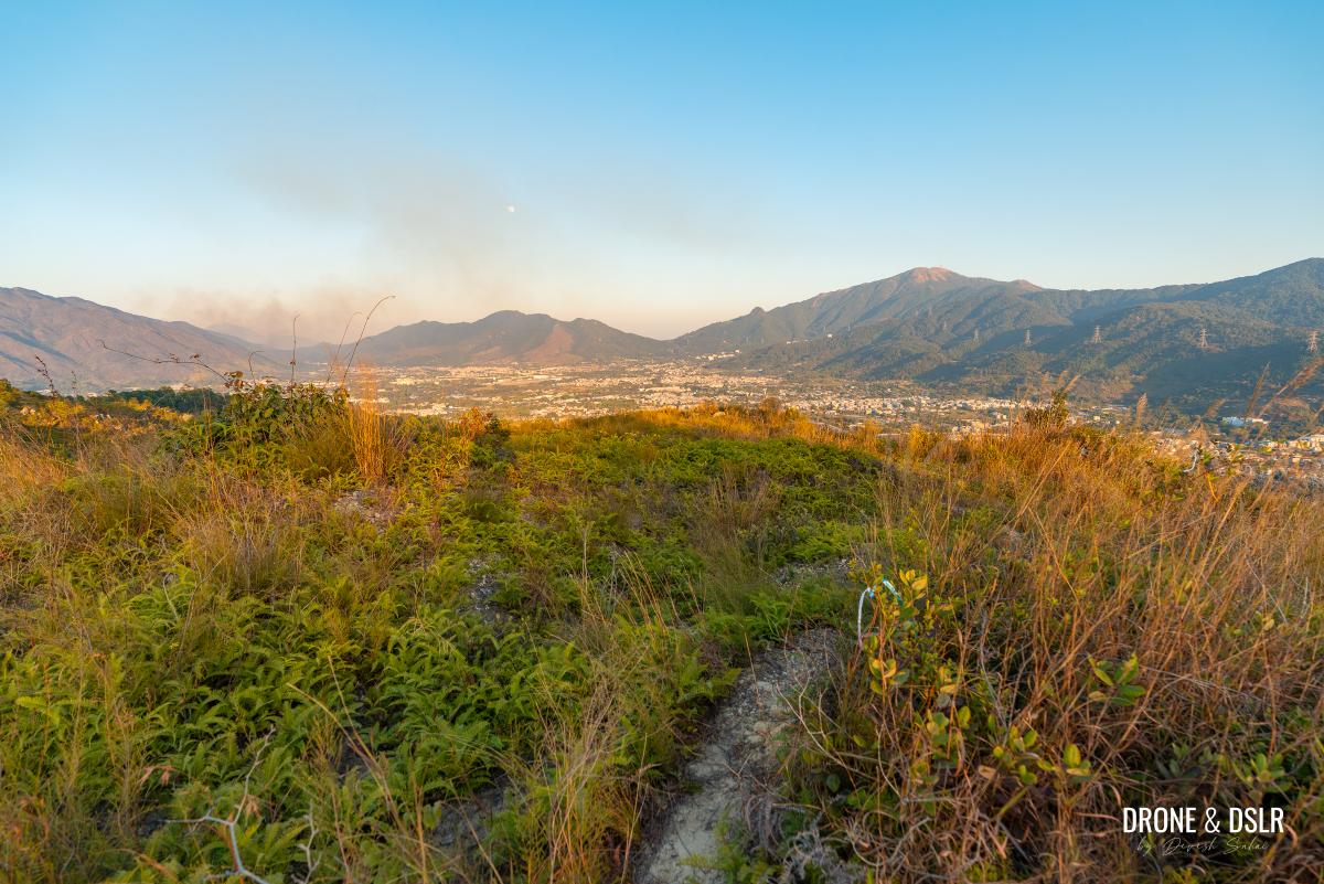
From here, you can enjoy clear panoramic views of Kai Kung Leng, Tai Mo Shan, and even the Shenzhen skyline.
-
- Views of Kai Kung Leng from Ng Kwu
-
- Views of Tai Mo Shan from Ng Kwu
To The Gap Between Cheung Ngau Shan and Tseng Hang Shan
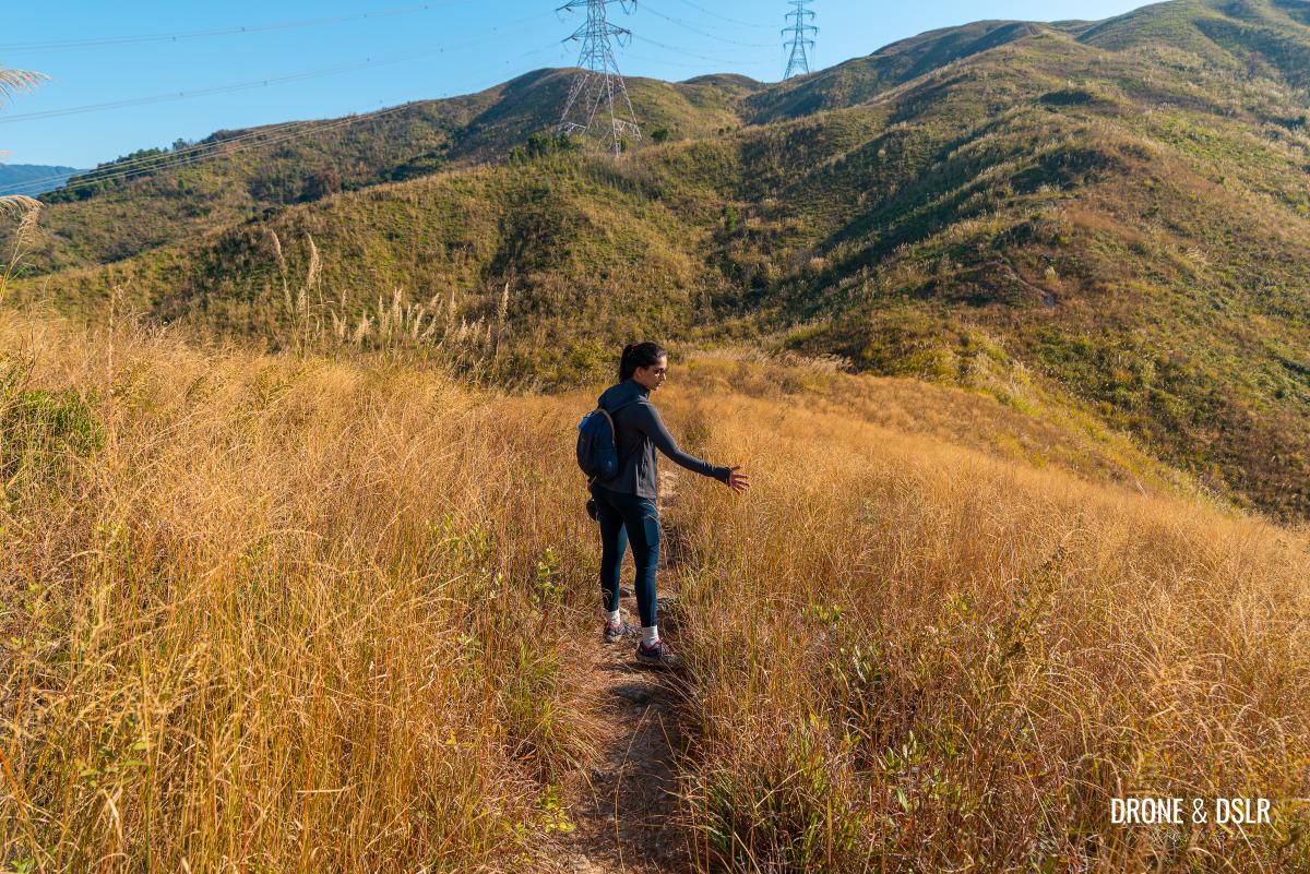
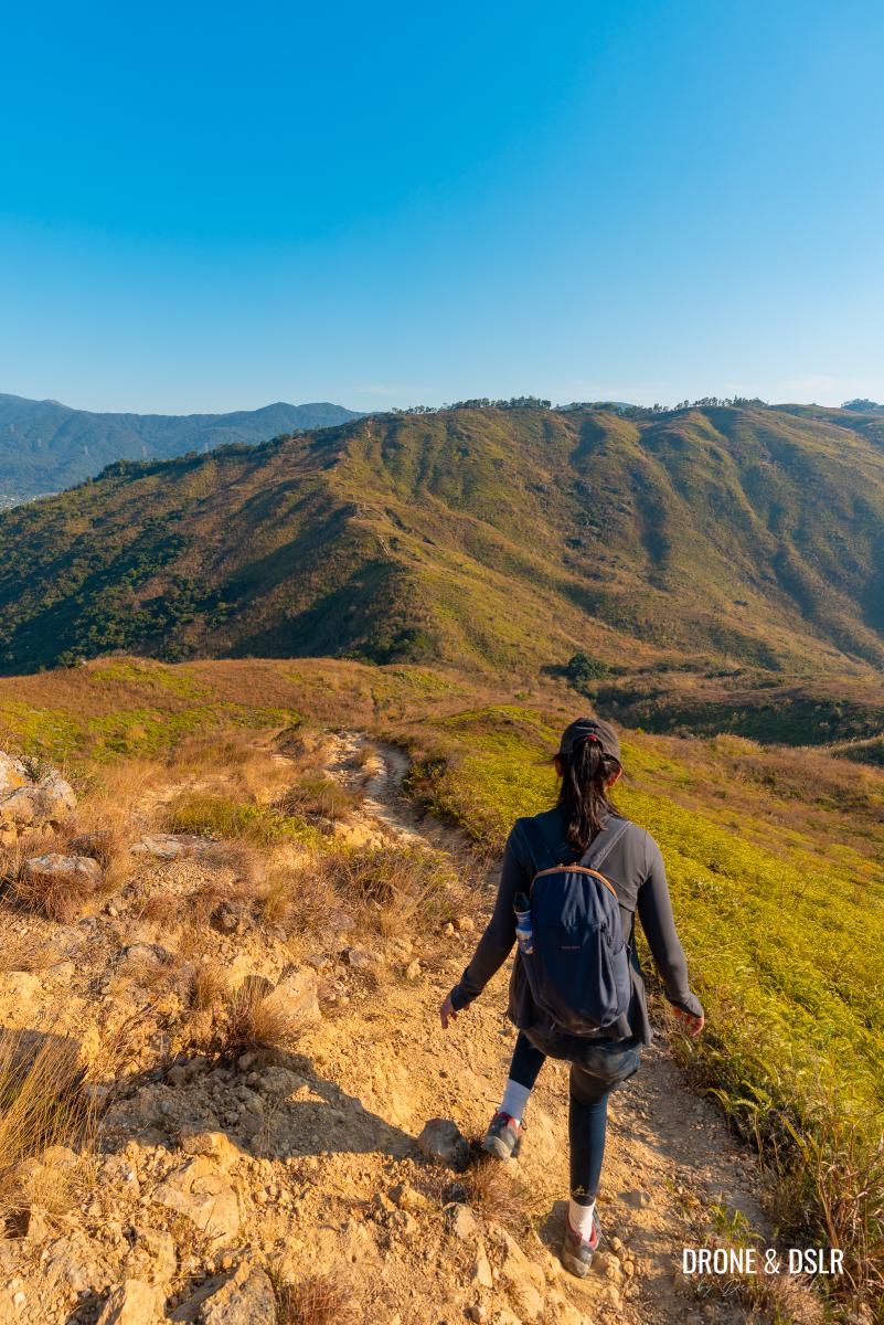
Whether you climbed the mound or skipped it, the two trails reconnect as you descend the mound. From here, you’ll head down a scenic descent, with Tseng Hang Shan directly ahead.
Time to head downhill from Ng Kwu and reconnect with the trail
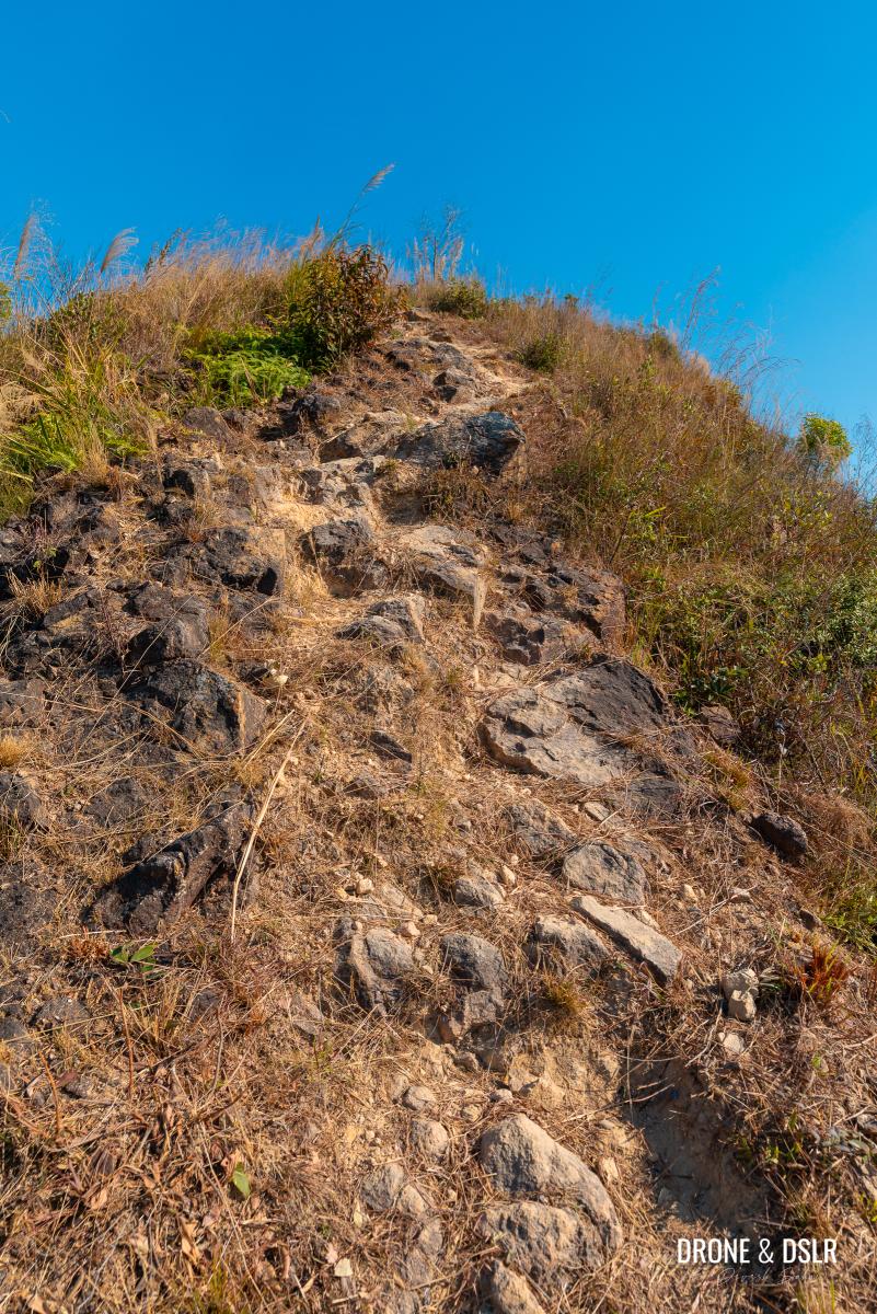
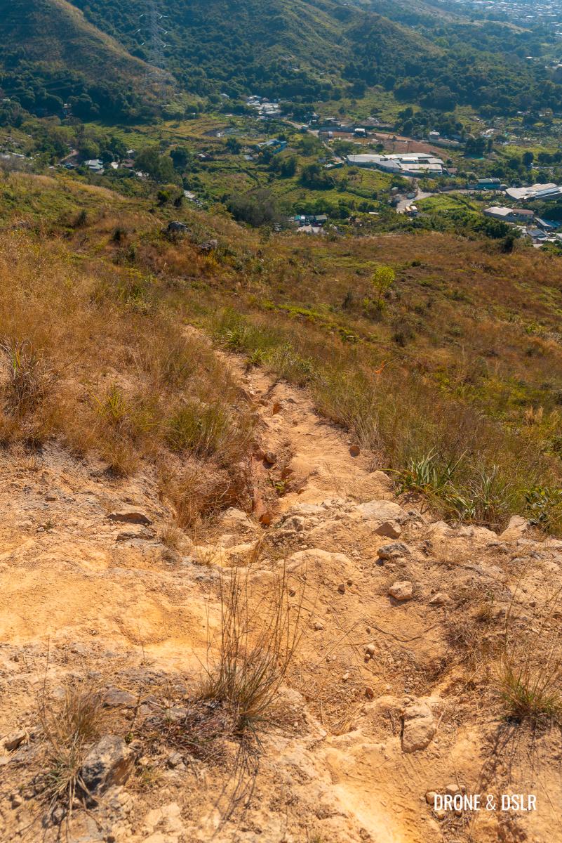
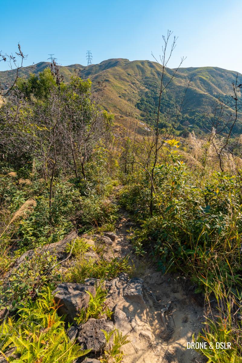
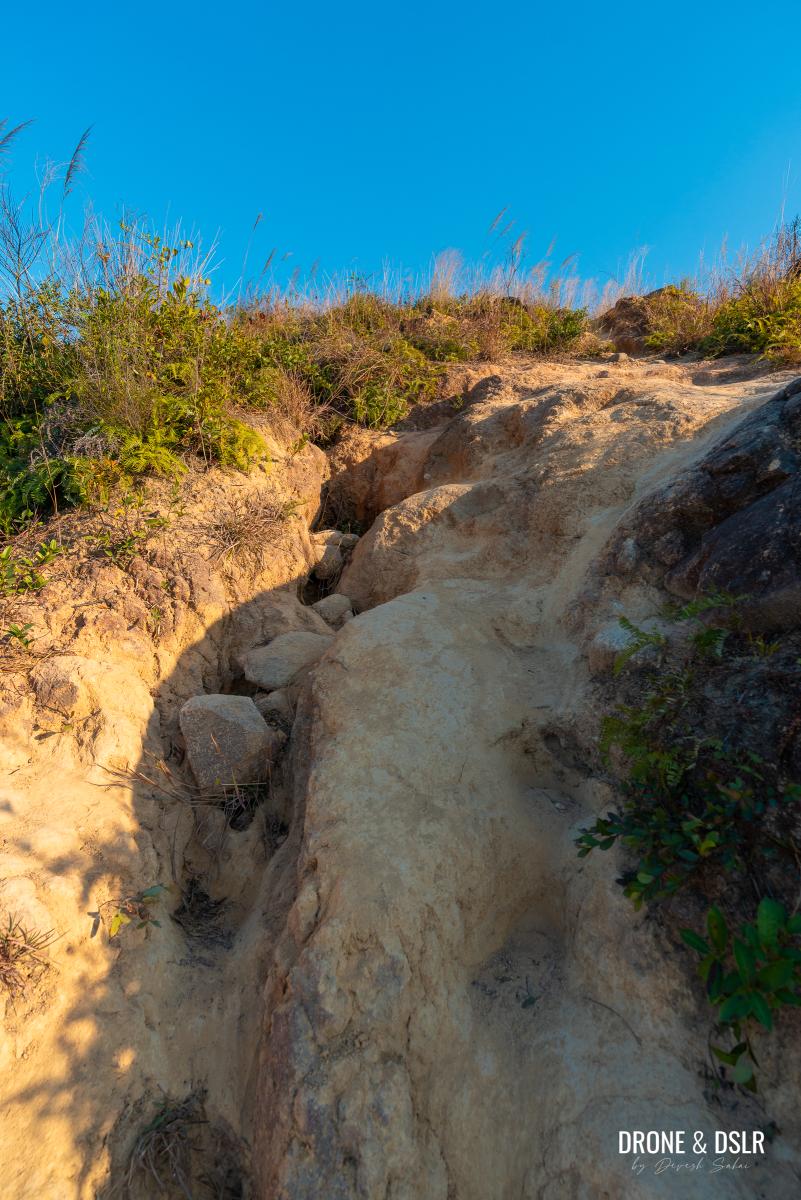
But the scenic descent comes with its own challenge. It starts off gently but soon becomes challenging as approaches a dry, rocky terrain that offers little to no traction.
The start of the descent is a bit tricky thanks to the loose rocks
Unfortunately, there are no trees or shrubs to provide support or balance. Needless to say, we fell a couple of times, picking up a few minor cuts. But once we sat down and descended, we were fine.
-
- Scenic views of Tseng Hang Shan while descending from Cheung Ngau Shan

-
- The descent becomes much easier once you’ve crossed the rocky section
After this challenging section, the trail flattens and becomes manageable. Continue downhill until you reach the lowest point between the two hills.
-
- Almost at the gap between Cheung Ngau Shan and Tseng Hang Shan
-
- Navigating the grassy gap between Cheung Ngau Shan and Tseng Hang Shan
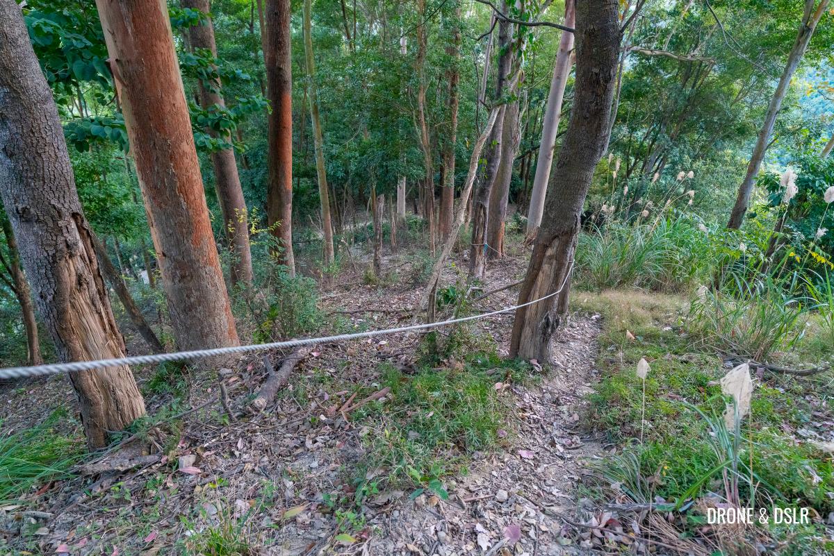
The lowest point is marked by a fence with an opening. The path through the fence leads to the Au Tau fresh water reservoir and water treatment works.
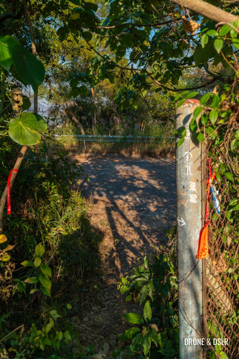
The fence for the Au Tau fresh water reservoir and the water treatment works
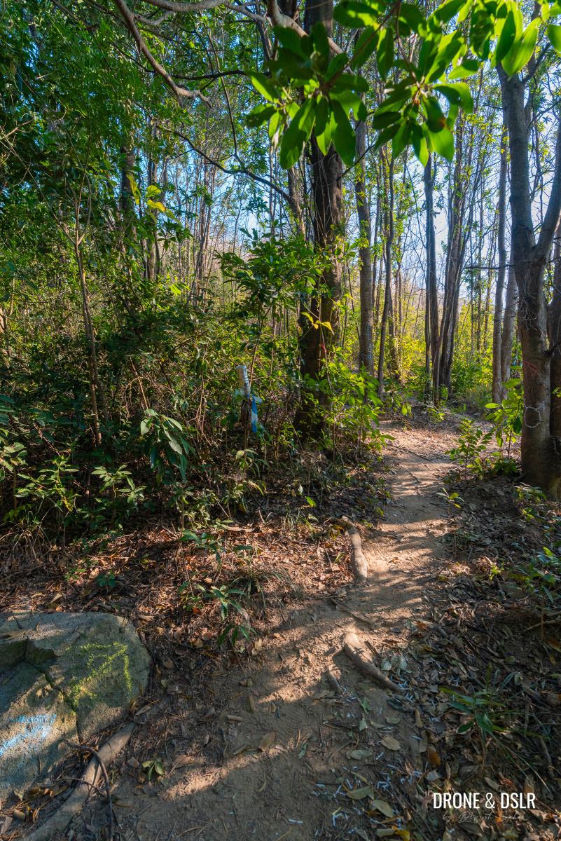
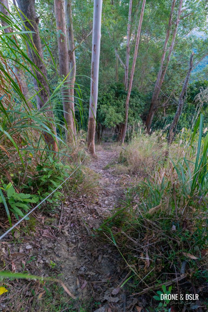
To continue hiking, walk straight ahead on the trail until you reach another wooded area.

Keep walking straight till you reach another wooded area
To Lam Chung Country Trail
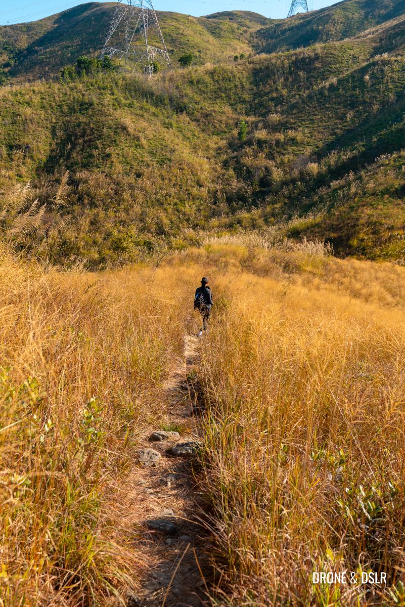
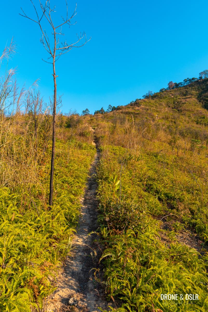
As you exit the wooded area, you’ll face the most challenging section of the hike.
-
- Follow the trail as it leads you out of the wooded area
-
- The challenging ascent to Tseng Hang Shan begins
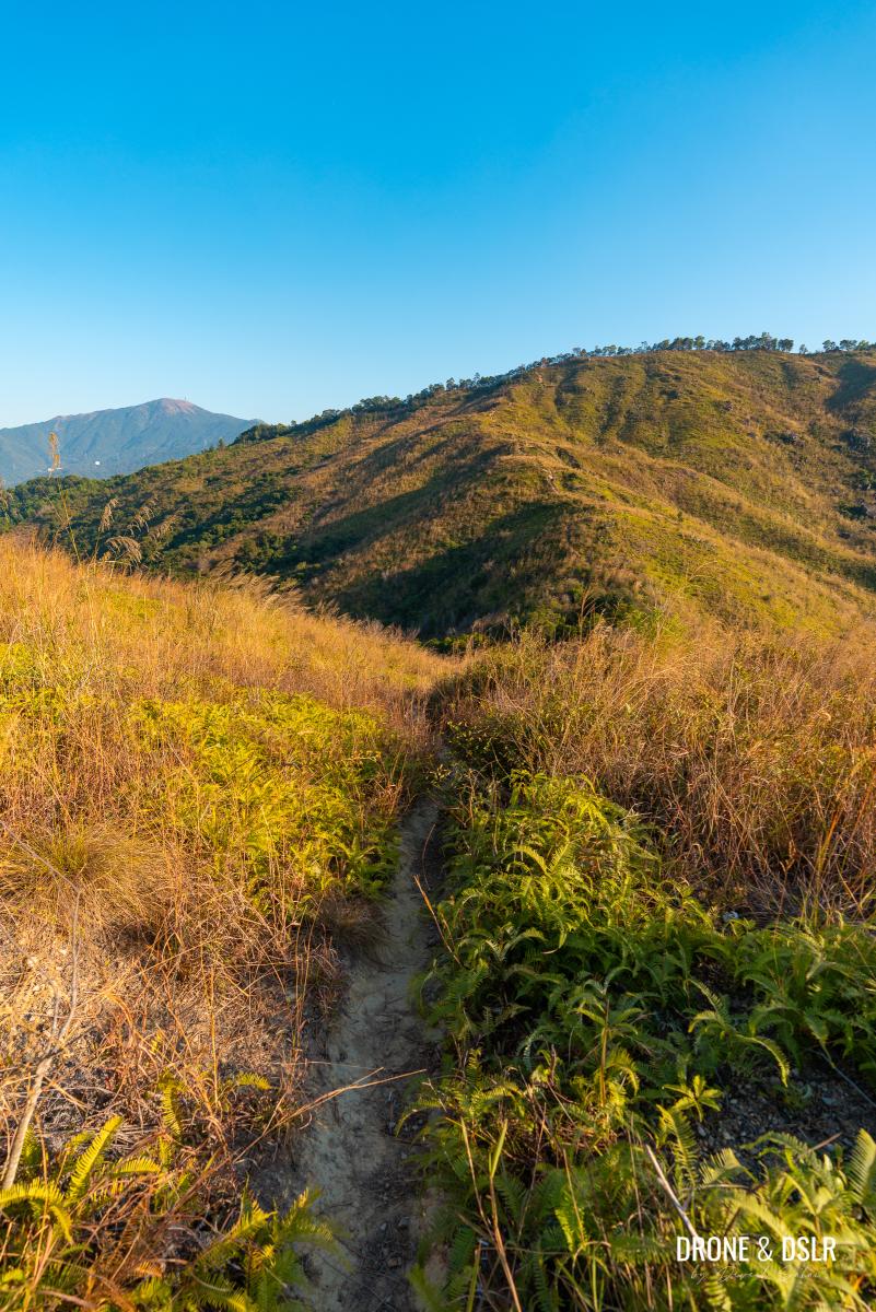
You’ve descended from 220 m (Cheung Ngau Shan) to 92 m and now need to climb back up to 237 m (Tseng Hang Shan). This climb begins here.
Goal is to make it to that tree line above
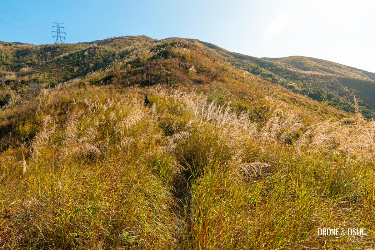
The ascent starts gradually but becomes increasingly steep. Some sections require scrambling and using your hands for balance.
Some sections of the Tseng Hang Shan climb require clambering
As you climb, you might notice a few other trails running parallel to yours. I wasn’t sure which one to take, but spotting other hikers on the top led me to realize that I needed to follow the shortest trail to the patch of trees at the summit.
-
- Follow the trail as it heads up to Tseng Hang Shan and Lam Chung Country Trail
-
- The lack of dense vegetation makes it relatively easy to follow the trail
Keep climbing until you reach the Lam Chung Country Trail, which runs along the top of the hill.
Some sections of the climb are challenging as they lack traction
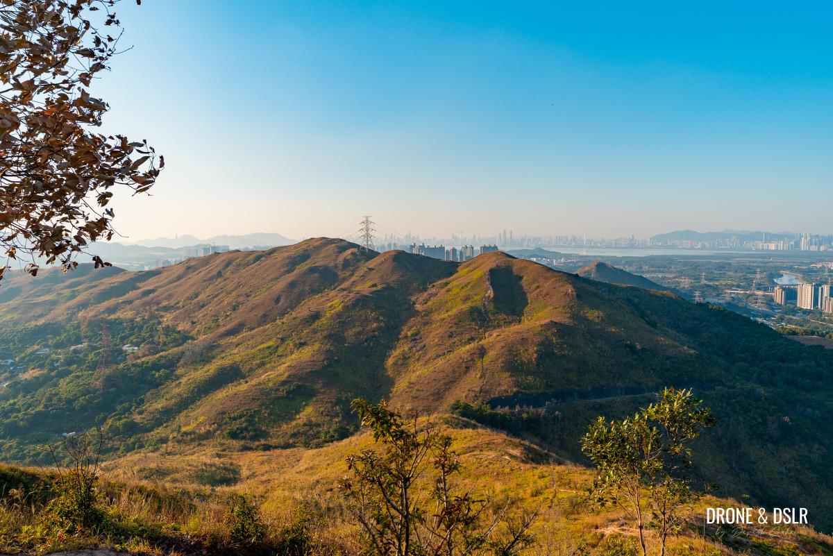
There is a lookout point, just before the Lam Chung Country Trail heads downhill. This lookout point offers stunning views of Kai Kung Leng and Cheung Ngau Shan. Take a moment to appreciate the views from here, and to catch your breath.
-
- The lookout point on Lam Chung Country Trail offers amazing views of Kai Kung Leng and Shenzhen
-
- The rolling hills of Cheung Ngau Shan seen from Lam Chung Country Trail
-
- Views of Shenzhen from the Lam Chung Country Trail lookout point
-
- Finally made it to the lookout point!
To Tseng Hang Shan
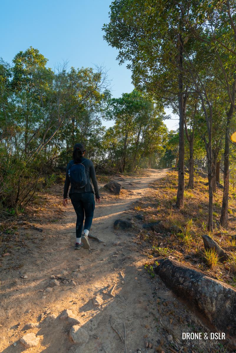
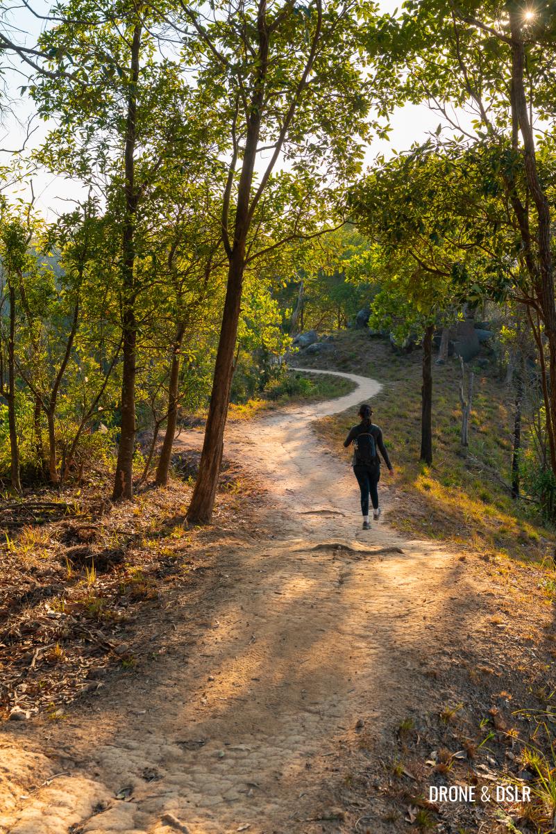
The next section of the Lam Chung Country Trail was my favourite part of the hike.
Turnaround and walk on Lam Chung Country Trail
Perhaps it was the cool breeze against the backdrop of the setting sun, combined with the trail’s position along the hilltop ridge. And that no one else was on this trail but us, made this part of the hike extremely picturesque and memorable.
-
- The most scenic section of the hike begins
-
- Lam Chung Country Trail is easy to navigate
From the lookout point, turn around and follow Lam Chung Country Trail, and it moves along the ridgeline. The trail levels out from here, remaining relatively flat.
-
- The trail runs along the ridge of Tseng Hang Shan
-
- One of the more scenic sections of the Cheung Ngau Shan Hike
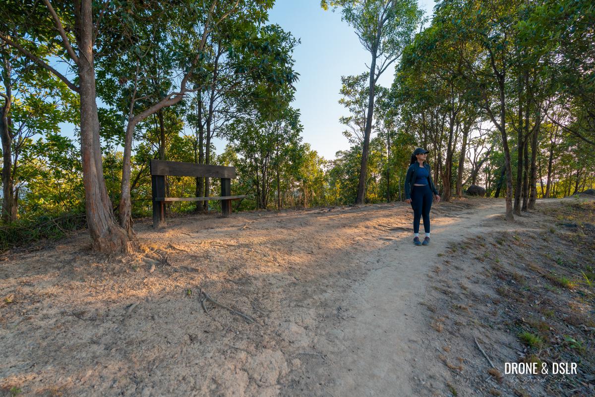
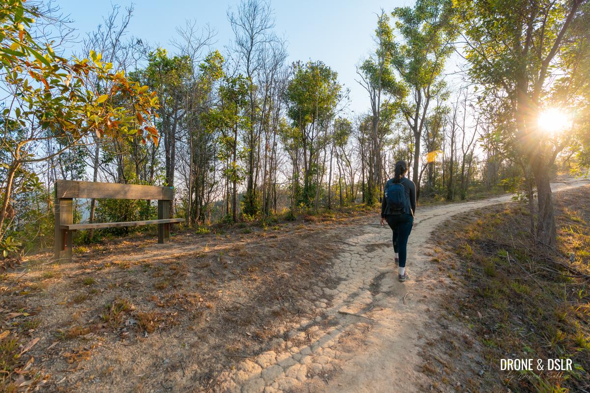
Keep walking till you reach a bench along the trail, from where you can admire views of Cheung Ngau Shan.
-
- A viewing bench near Tseng Hang Shan
-
- Views of Cheung Ngau Shan
Further ahead is another bench, with similar views. Somewhere between these two benches is the summit of Tseng Hang Shan.
-
- The beautiful Lam Chung Country Trail
-
- Passing another viewing bench near the summit of Tseng Hang Shan
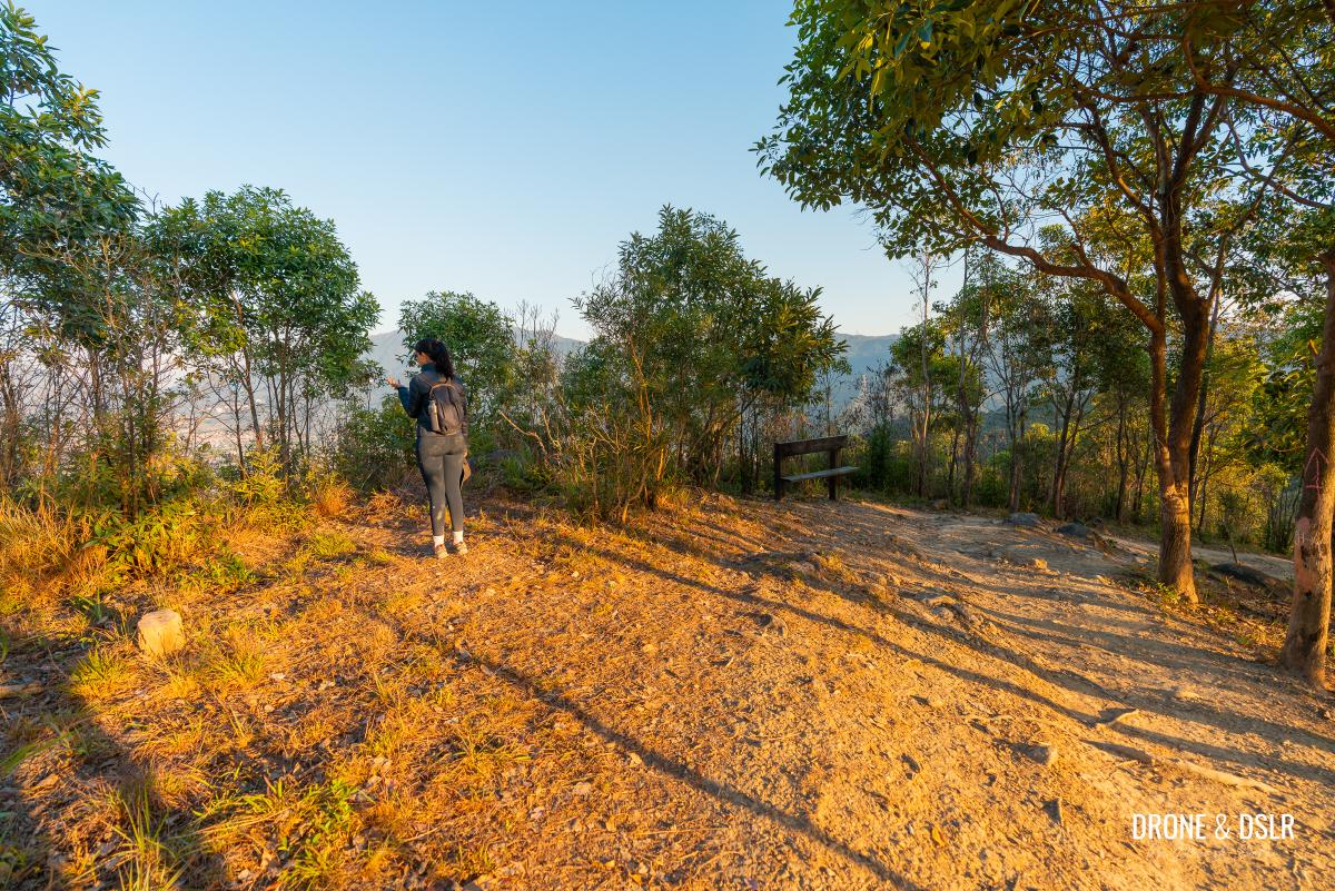
Follow this scenic trail until you arrive at a covered seating area. Here, you’ll need to decide how to conclude your hike.
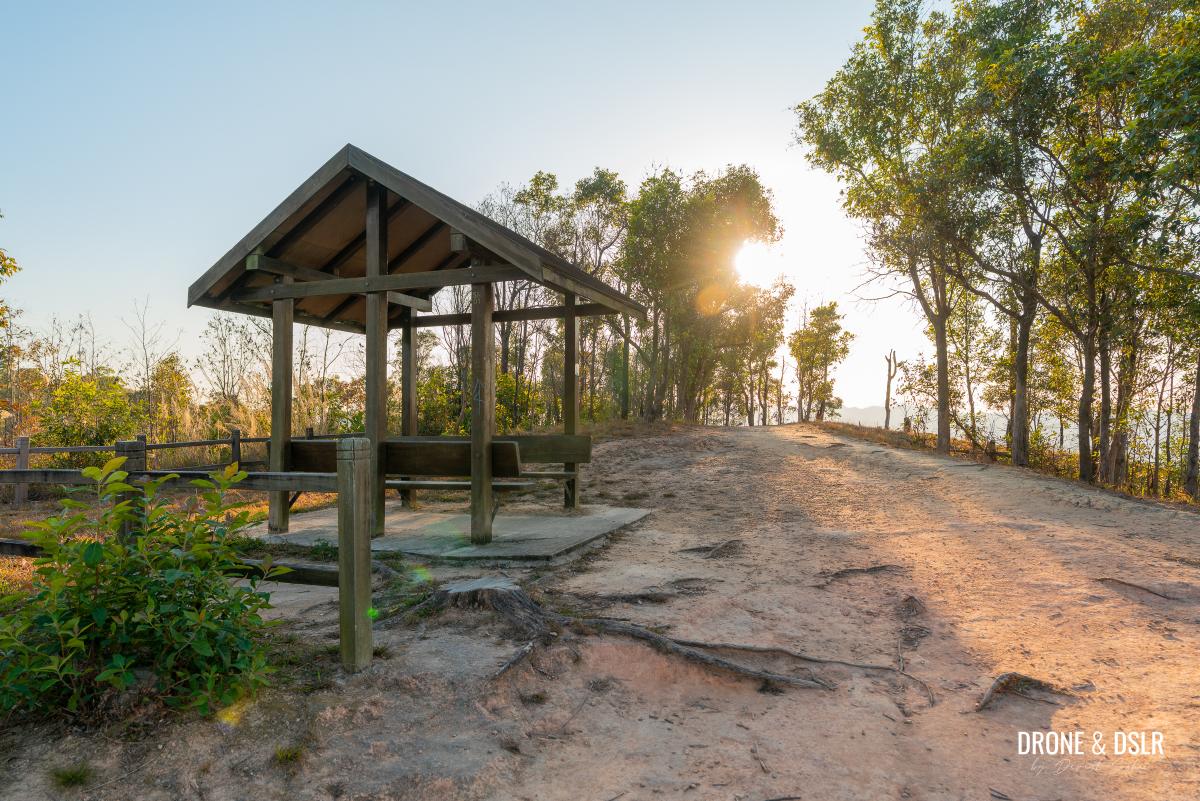
The covered seating area on Lam Chung Country Trail. You need to decide which route to end your hike on.
You can either follow the directions that follow, or return to the lookout point and continue downhill on the Lam Chung Country Trail to the bus interchange.
If you prefer a maintained route, we recommend backtracking to the lookout point and following the Lam Chung Country Trail.
However, if you’re feeling adventurous, continue following our directions. Both exit options are roughly the same distance.
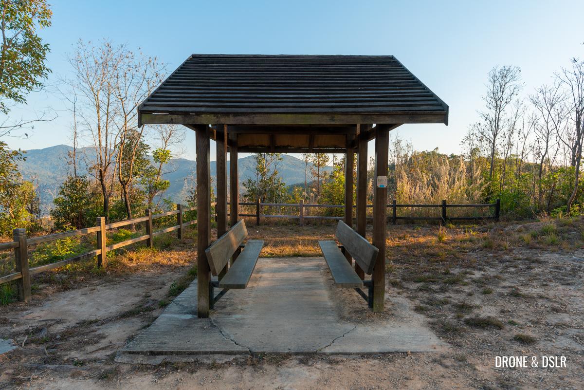
Take a break and enjoy the views
To The Start of the Unmarked Descent
Stay on the Lam Chung Country Trail, and follow it beyond the seating area.
We decided to continue on Lam Chung Country Trail
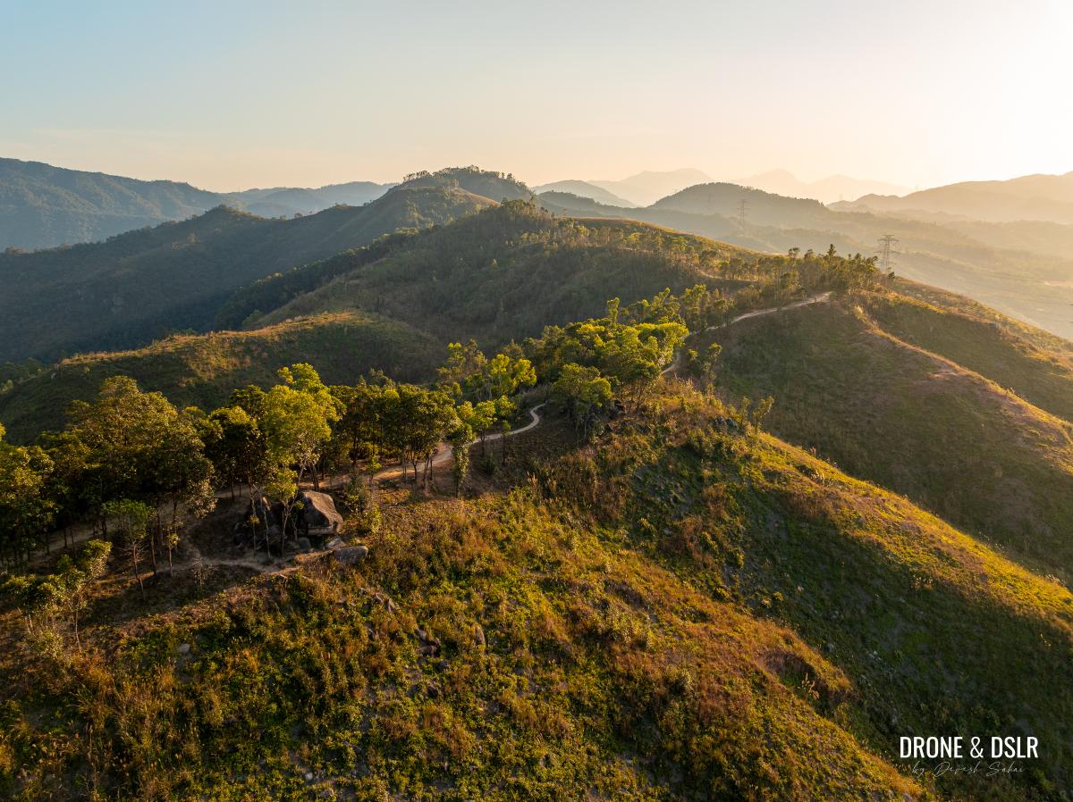
The scattered trees and grassy hillside contribute to add to the trail’s beauty ahead.
-
- Another picturesque section of the Lam Chung Country Trail
-
- Aerial view of the Lam Chung Country Trail
A short distance ahead, you’ll encounter a short, slightly steep climb. At the top of the slope, the trail curves and leads to a bench.
-
- Here comes the only climb on the Lam Chung Country Trail
-
- After the climb, keep an eye out for this bench. The unmarked trail is right before the bench.
However, just before reaching the bench, look for a clearing between the trees marked by a ribbon. This indicates the entrance to an unmarked descent.
Follow the ribbon to take the unmarked shortcut to reconnect with Lam Chung Country Trail below
Rejoin Lam Chung Country Trail Below
If you hadn’t figured it out by now, this unmarked trail is a shortcut that reconnects with Lam Chung Country Trail below.
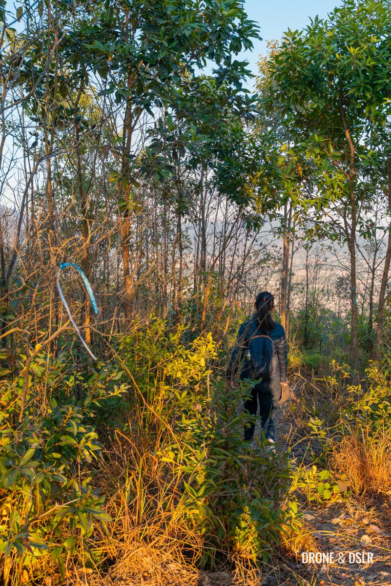
Squeeze through the shrubs and follow the unmarked trail beside the bench. This section of the hike offers spectacular views of the valley between Kai Kung Lung, Tai Mo Shan, and Tai To Yan.
The views from the shortcut are quite spectacular
The trail is relatively easy to follow thanks to the cleared pathway and the colourful ribbons. But there might be some sections where the overgrowth covers the path. Make sure you keep an eye on the ground to stay on the clearing.
-
- Follow the ribbons
-
- In some parts, the trail is easy to follow
-
- In other parts, the trail is hidden by the vegetation
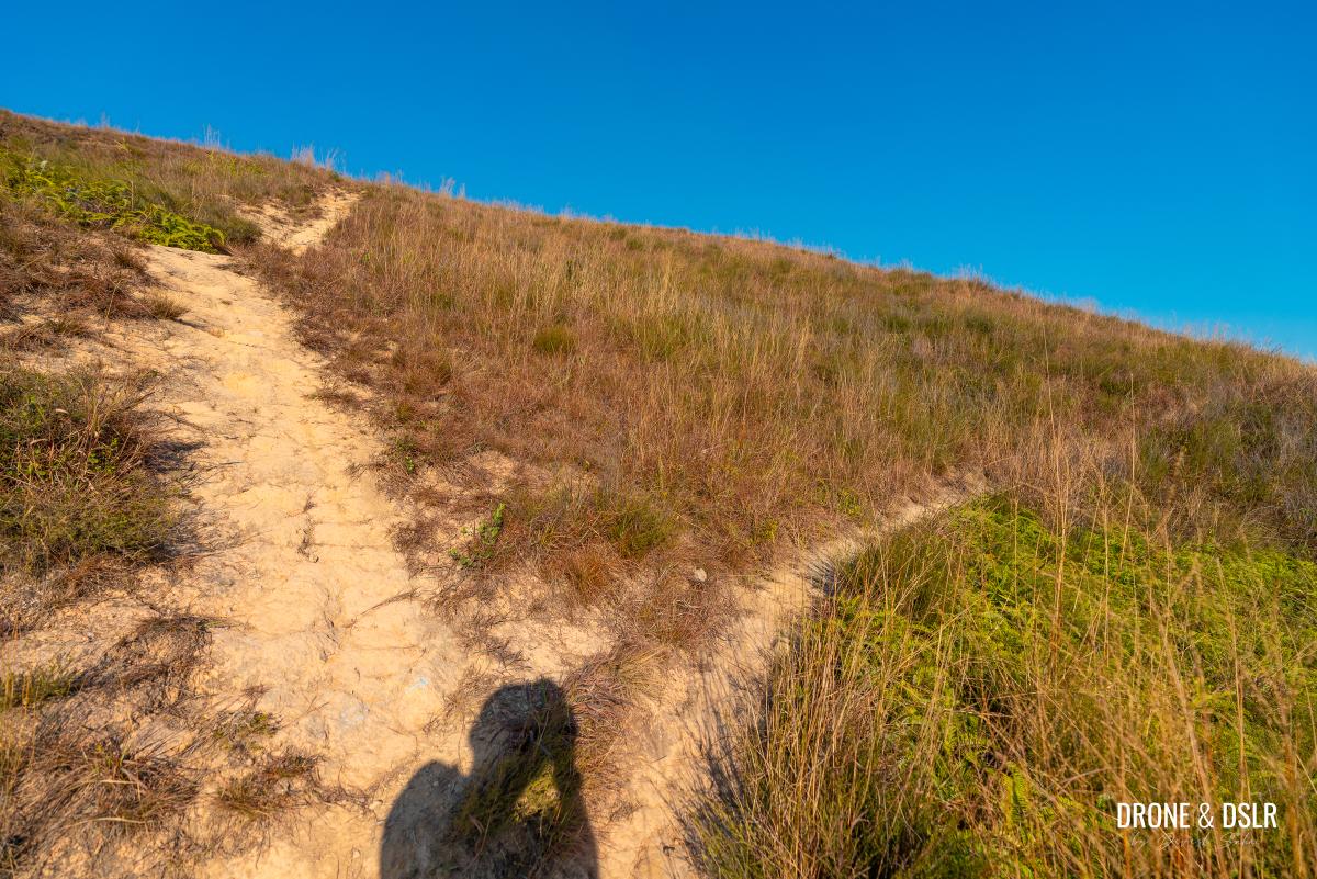
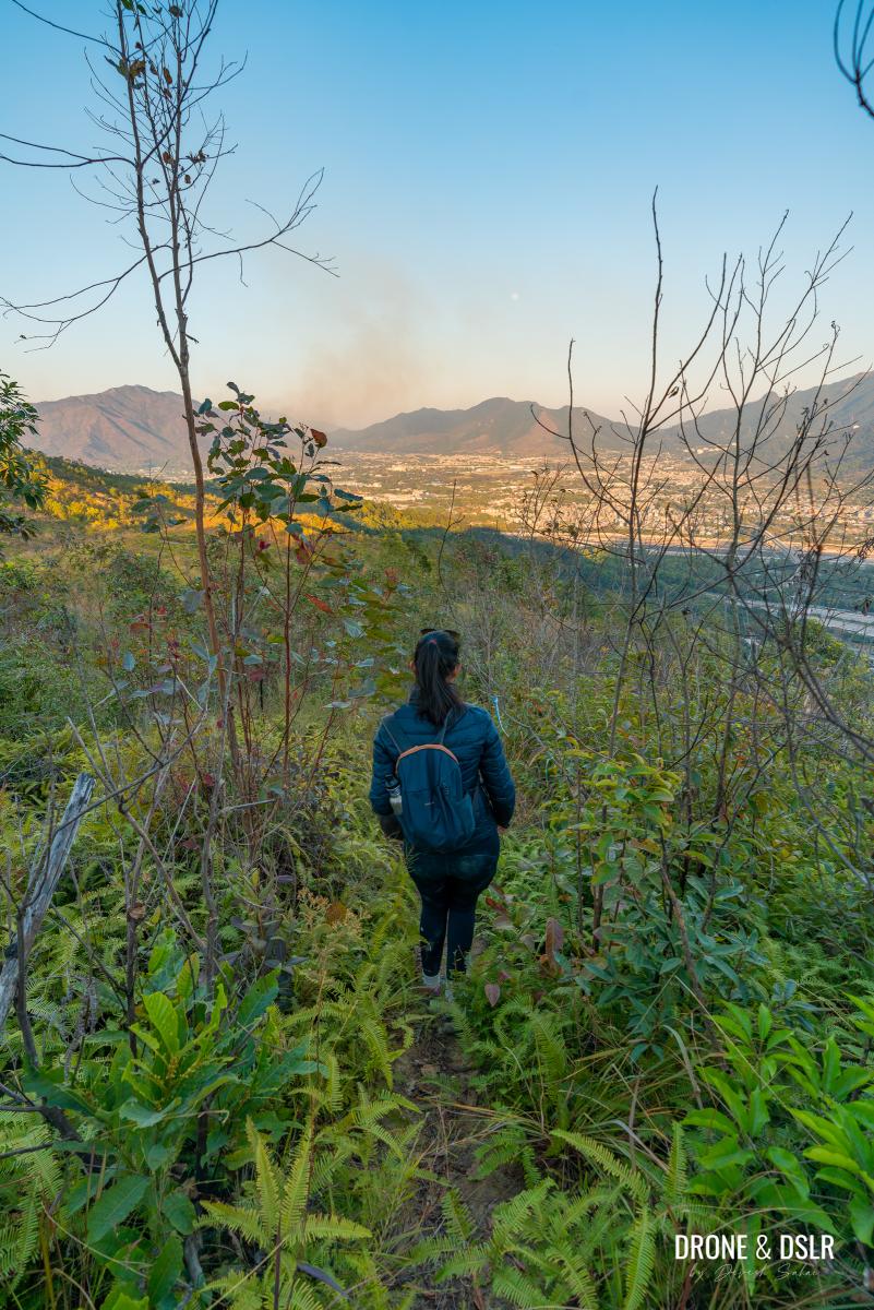
As the trail approaches the cliff edge, it turns right and descends a very steep slope. Tall grass thickets make the descent particularly challenging, so proceed with caution.
-
- Follow the ribbons as the trail swerves right before the cliff
-
- As the trail turns right (towards Tai Mo Shan), it slowly begins to descend
-
- This was quite a challenging downhill slope
Once you reach the bottom of the slope, a grassy section leads to another sharp descent – this time through trees. Continue following the trail and ribbons, using the trees for support.
-
- After you emerge from the steep descent, cut through this grassy patch
-
- The grassy patch gives way to the trees. Keep following the trail (and the ribbons).
-
- Cut between the eucalyptus trees
As you approach the end of the shortcut, the descent becomes even steeper. Fortunately, we found a rope attached to the trees, making the final section a little less daunting.
-
- When the going gets steep, the rope appears
-
- Hold onto the rope as you navigate the final section of this shortcut
At the end of this steep section, this shortcut reconnects with Lam Chung Country Trail.
And we’re reunited with Lam Chung Country Trail. It’s time to turn left.
Exit at Tai Lam Tunnel Bus Interchange
We’re now on the final section of the hike, back on the Lam Chung Country Trail.
As you exit the shortcut, turn left, and almost immediately turn right at the signpost for the Tai Lam Tunnel Bus Interchange.
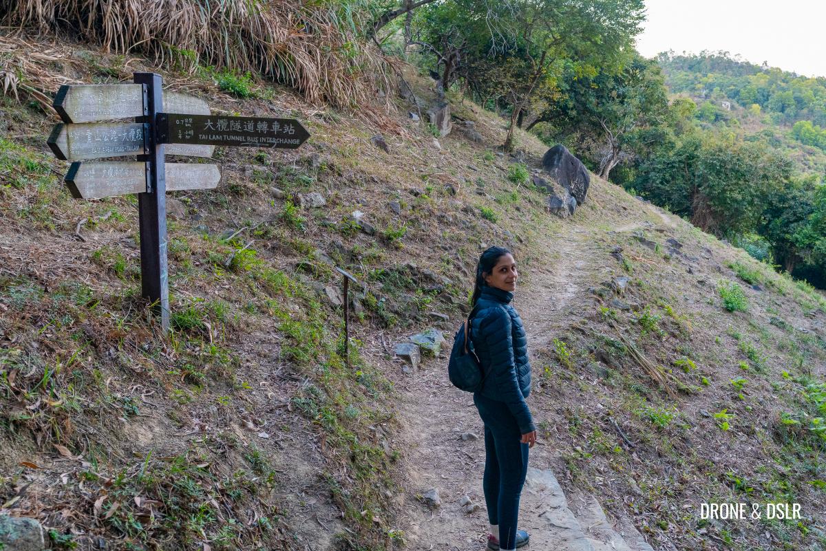
Turn right and follow the signs to Tai Lam Tunnel Bus Interchange
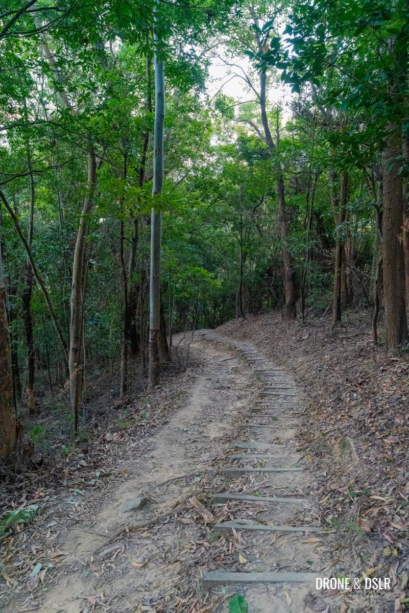
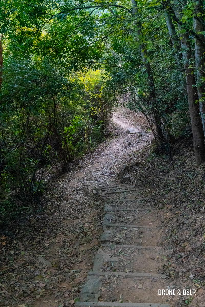
The final 700 metres of the hike is a gentle descent through the trees. The trail winds through steps and slopes, as you begin hear the roar of the vehicles on the Tsing Long Highway below.
-
- The final descent on Lam Chung Country Trail begins
-
- The final section of the hike is very easy
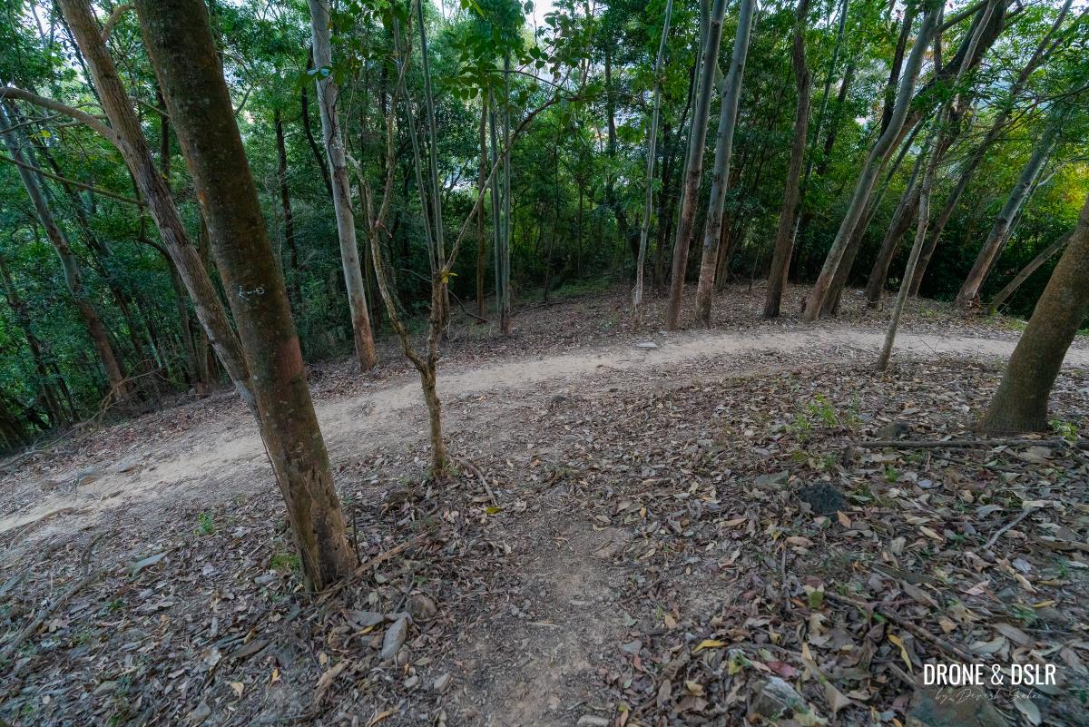
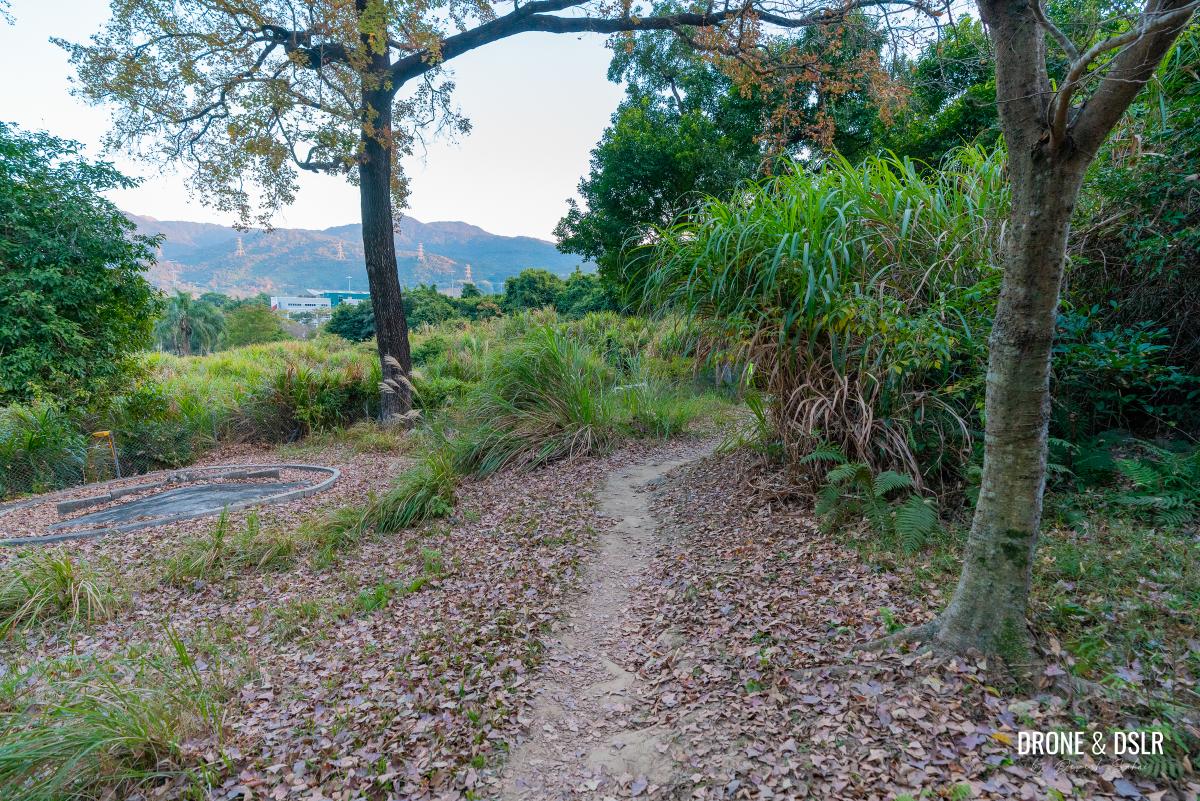
As the Lam Chung Country Trail exits the forested area, it levels out onto flat terrain.
-
- After coming down the hill, the trail enters a flat section
-
- Follow the final leg of the trail
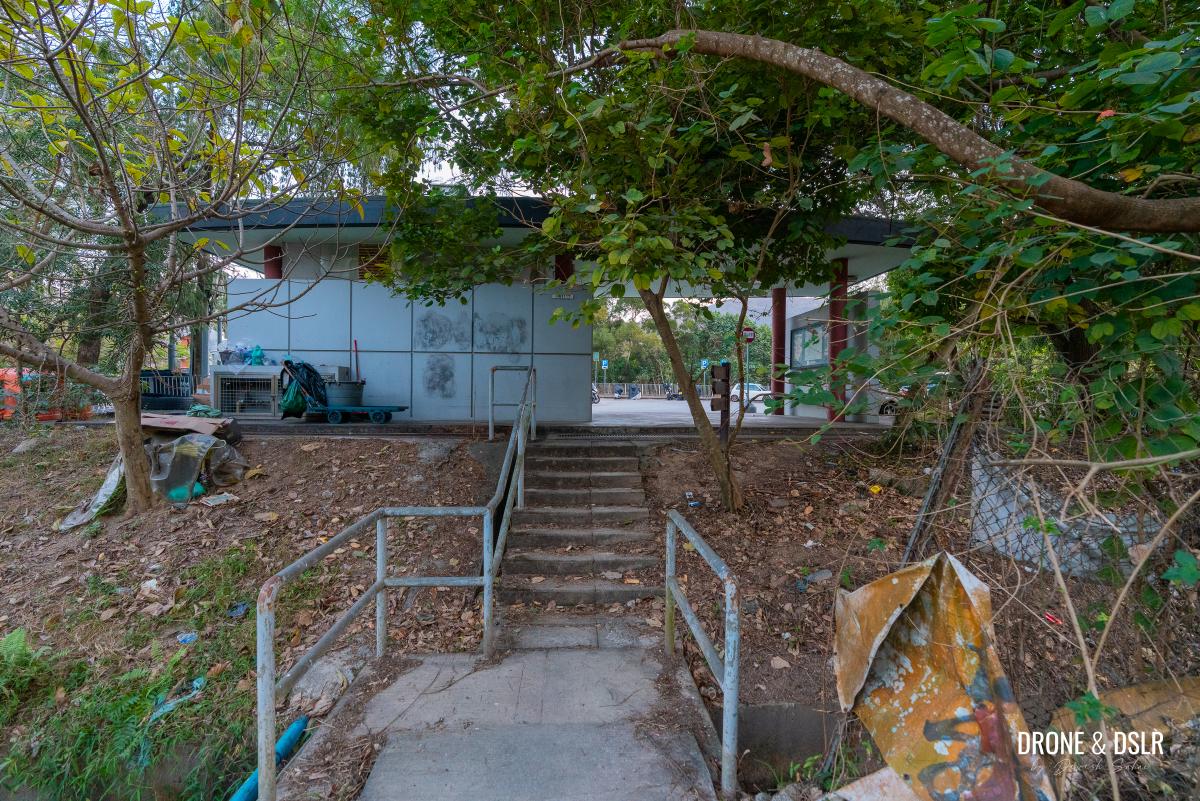
Continue on this path until it ends at a rest area behind the Tai Lam Tunnel Bus Interchange and car park, marking the end of this spectacular hike.
-
- And the trail finally ends at this structure behind the Tai Lam Tunnel Bus Interchange and car park
-
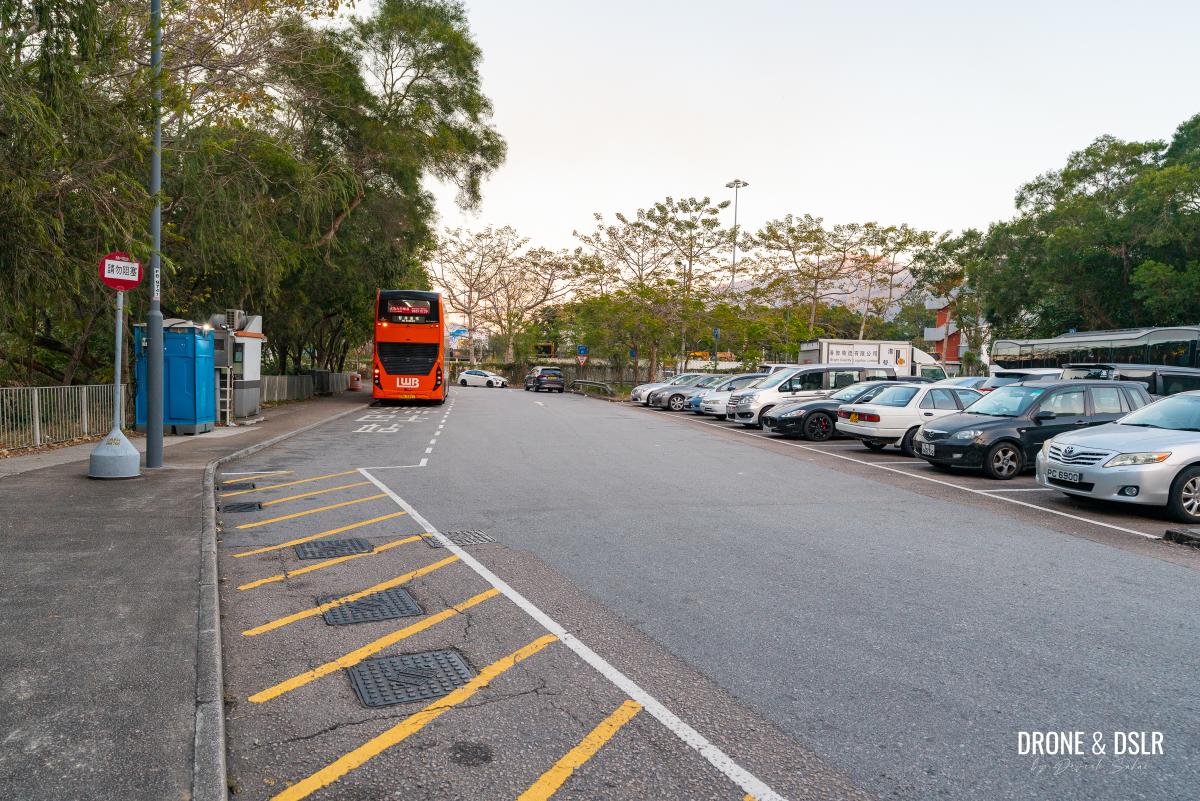
- The Tai Lam Tunnel Bus Interchange and car park
The Rolling Hills of Yuen Long
We hope you enjoyed our guide to the Cheung Ngau Shan Hike. If you’ve completed this hike and found it equally beautiful or challenging, we’d love to hear your comments below.
-
- Oh yes, this is a scenic hike
-
- The undulating hill of Cheung Ngau Shan
I’ve mentioned plenty of hills in the surrounding area, which are fantastic hikes on their own. We highly recommend Kai Kung Leng, which is a challenging but very scenic hike. Of course, there is Tai Mo Shan, the tallest hill in Hong Kong. But if you’re looking for an easy hike with epic views of Shenzhen, we recommend Kai Shan in Yuen Long.
As always, feel free to share this post on the social media channel of your choice, and do drop us a comment below if you found this guide resourceful.
If you enjoy our work, come join us on Instagram and YouTube 🙂


You might also like


Leave a reply