
When it comes to ancient trails in Hong Kong, the Mau Ping Ancient Trail in Ma On Shan Country Park is definitely a popular option and one of my favourite hikes.
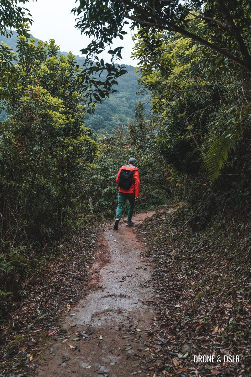
The Mau Ping Ancient Trail is quite beautiful
This trail is packed with unique attractions that make the journey both fascinating and intriguing. You’ll discover a hauntingly beautiful abandoned village, the unique “King of Gogovine,” and even a bamboo tunnel, all of which will keep you captivated throughout the hike.
The enchanting King of Gogovine
You can tackle this trail in any season – summer, winter, or even on a cloudy and rainy day, like we did. In fact, I found that hiking in the rain and clouds added a spooky atmosphere to the attractions, making it even more enjoyable.
So, how does one embark on this relatively challenging and fun ancient trail?
About The Mau Ping Ancient Trail
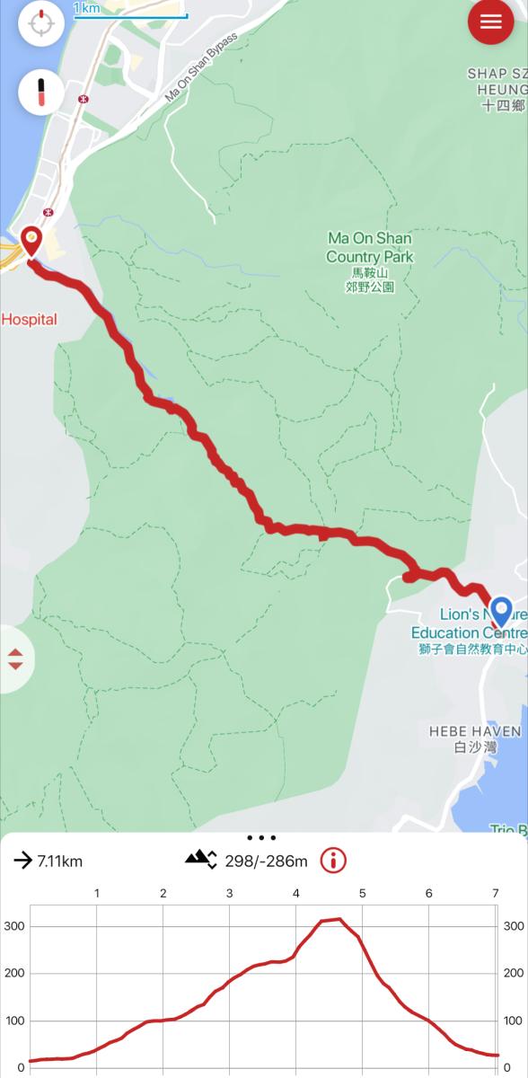
Mau Ping Ancient Trail Map
Mau Ping is an area and the site of a former village located within Ma On Shan Country Park in Hong Kong. Today, the village lies abandoned with some houses surprisingly intact.
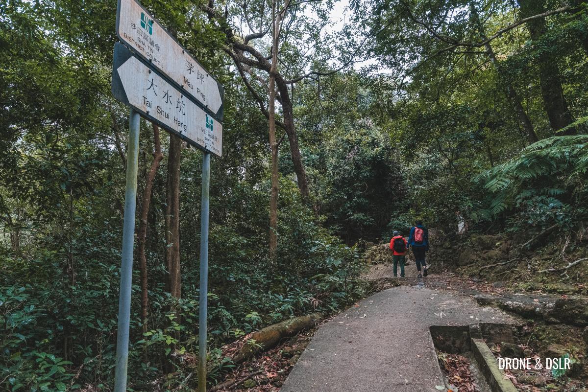
The Mau Ping Ancient Trail passes through this abandoned village, connecting Tai Shui Hang to Pak Kong. This ancient trail still connects villages in Sha Tin with those in Sai Kung, cutting across the hills of Ma On Shan Country Park.
Highlights Along Mau Ping Ancient Trail
The 6.3 km hike is relatively challenging, maintaining a consistent and gradual slope on either side of the hill. However, what makes the hike extremely popular are the highlights along the way, most notably:
- The Abandoned Village of Mau Ping – An ancient village in the forest with many houses still intact.
- The King of Gogovine aka The Vine King – A vine tree with a twisted trunk.
- A Bamboo Tunnel – A mini forest of bamboos, that envelop the trail.
-

- This house in the former Mau Ping Village is still holding up
-
- The Bamboo Tunnel is quite a memorable part of the ancient trail
What’s particularly noteworthy is the location of each attraction along the hillside. Each one is positioned at a distinct location – on the incline, at the highest point, and finally, on the decline.
So, with that out of the way, let’s get into our guide.
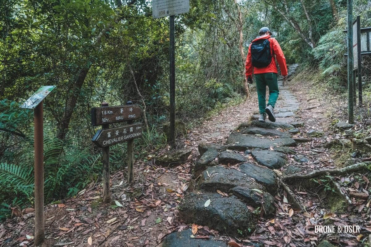
Starting Point
The starting point for the Mau Ping Ancient Trail is Mui Tsz Lam Road, near Chevalier Garden (the same as that for the Penis Rock Hike).
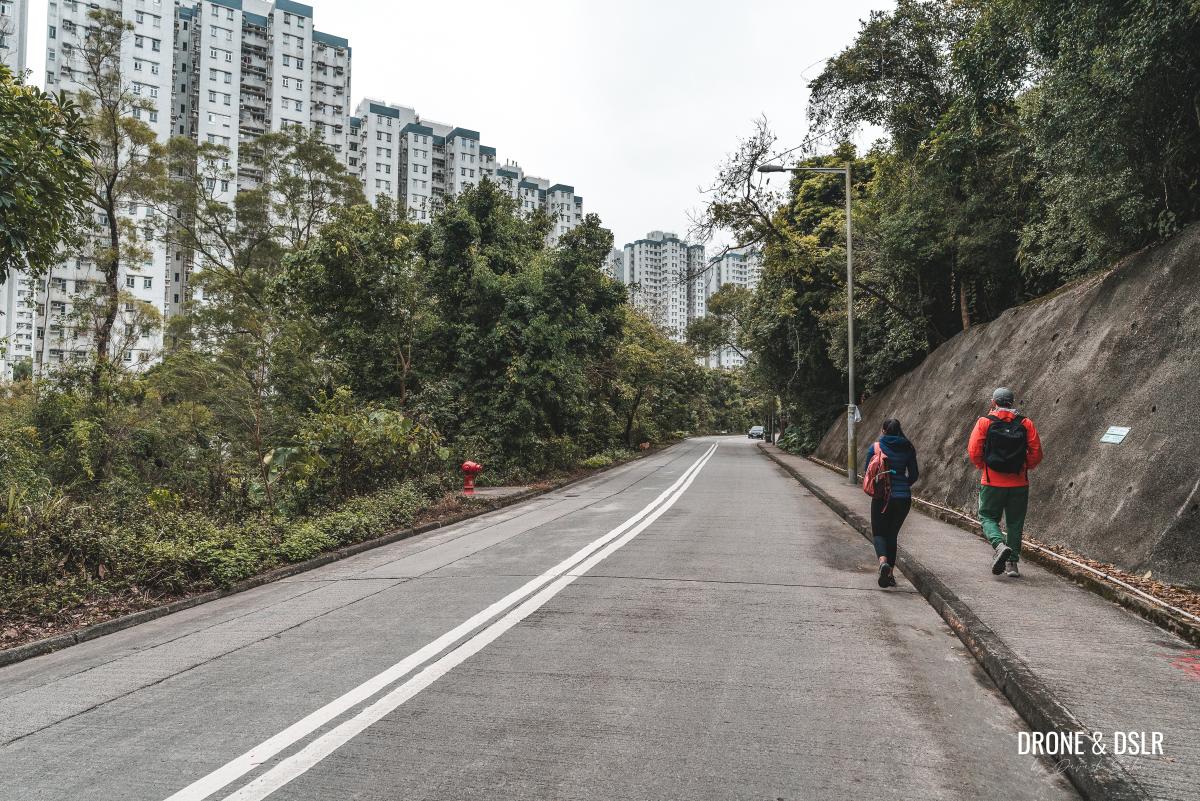
If you’re arriving via the MTR, alight at the Tai Shui Hang station on the Tuen Ma Line and take Exit B towards Hang Tak Street. Then walk towards Chevalier Garden and take the slip road from A Kung Kok Street Garden to Mui Tsz Lam Road.

Walking from Chevalier Garden to Mui Tsz Lam Road
If you’re arriving by bus, there are quite a few buses that stop at Chevalier Garden. Please use Google Maps to map the best route from your location.
Once you arrive at the start of Mui Tsz Lam Road, get ready to begin the hike.
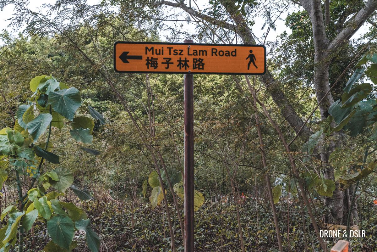
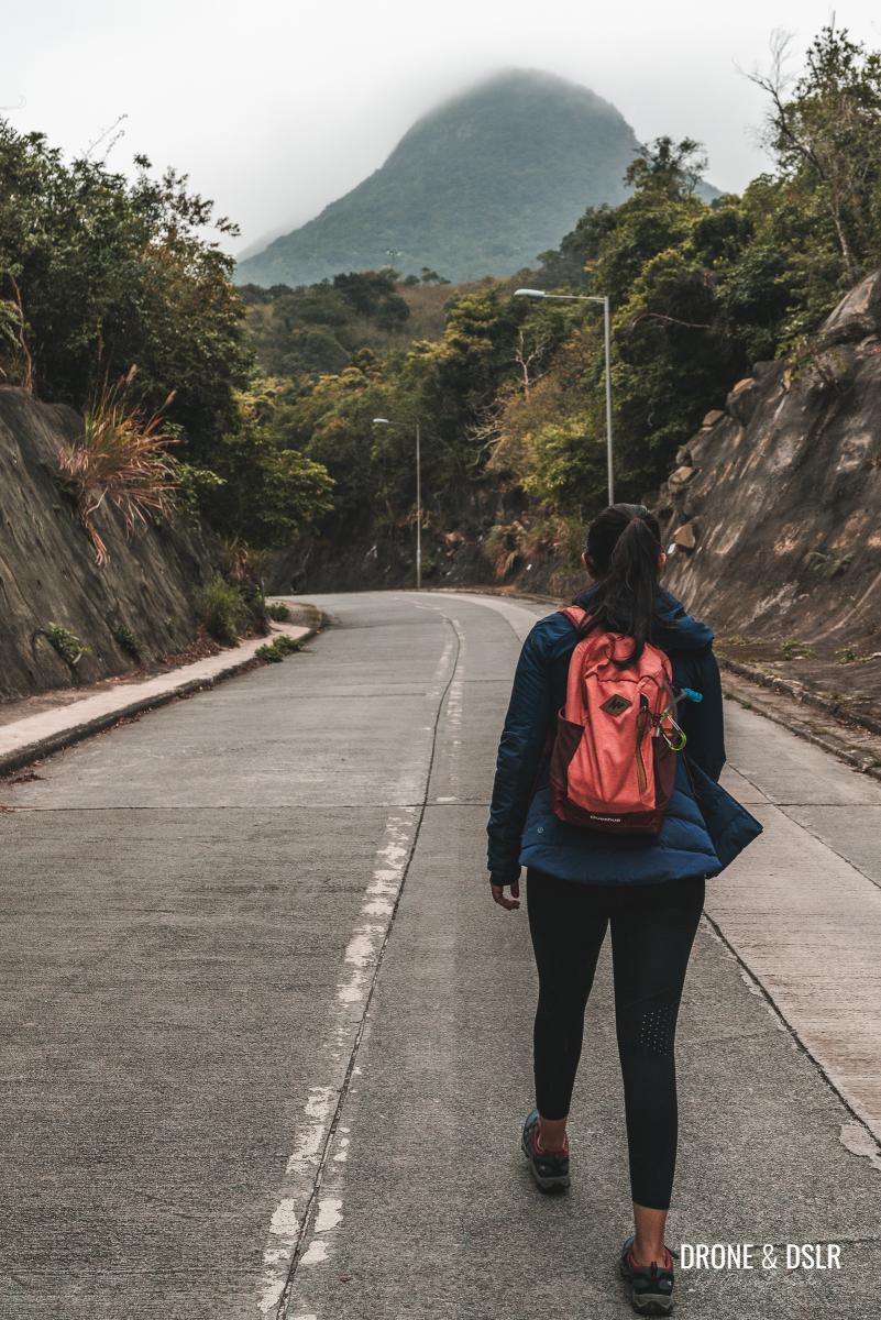
The starting point – Mui Tsz Lam Road
To Mui Tsz Lam Village
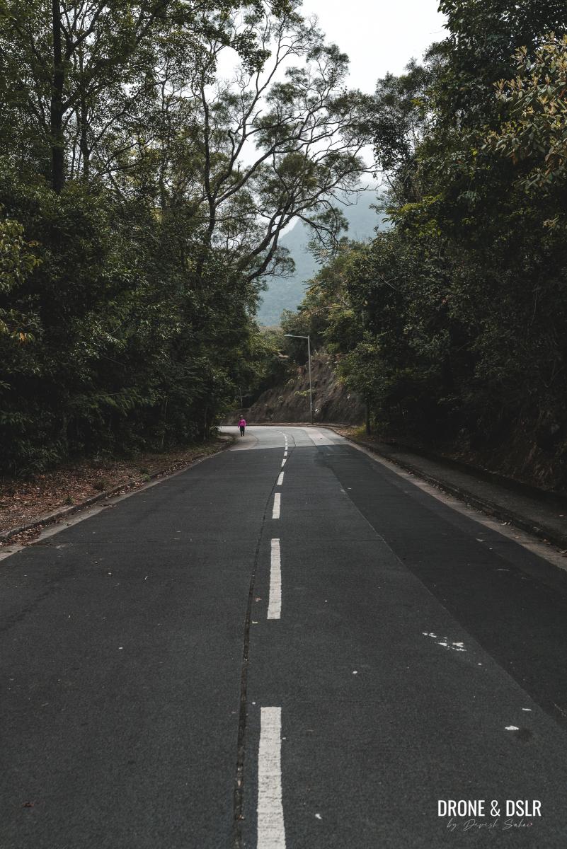
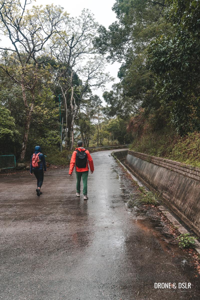
The next 2 kilometres of the hike take you along Mui Tsz Lam Road, which connects to Mui Tsz Lam Village. Be mindful of occasional vehicles on this asphalt road and stick to the sides. This section is identical to the route for the Penis Rock hike.
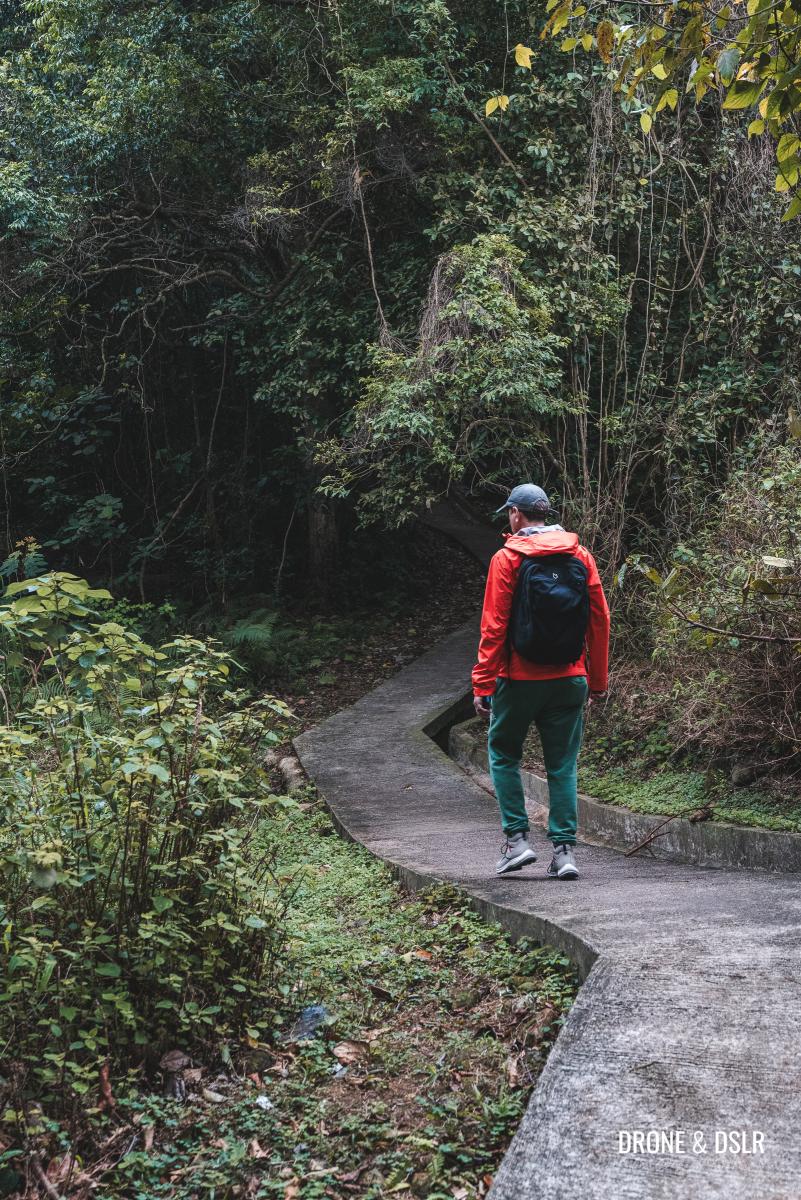
Starting walking up on Mui Tsz Lam Road
The first kilometre is relatively flat and easy, and even after the halfway mark, the incline is manageable. As you continue uphill, the scenic hills of Ma On Shan Country Park come into view. Take your time and maintain a comfortable pace.
-
- The incline on Mui Tsz Lam Road is quite easy
-
- Views of the hills as you walk up Mui Tsz Lam Road
You’ll find a few benches and seating areas along the way, but we didn’t feel the need to take a break at this point.
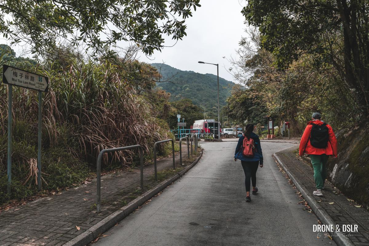
Keep walking until you reach the end of the road, where you’ll see the sign for Mui Tsz Lam Village. From there, take the narrow pedestrian path into the village.
-
- After 2 km, you’ll arrive at the end of Mui Tsz Lam Road
-
- Take the pedestrian path towards Mui Tsz Lam Village
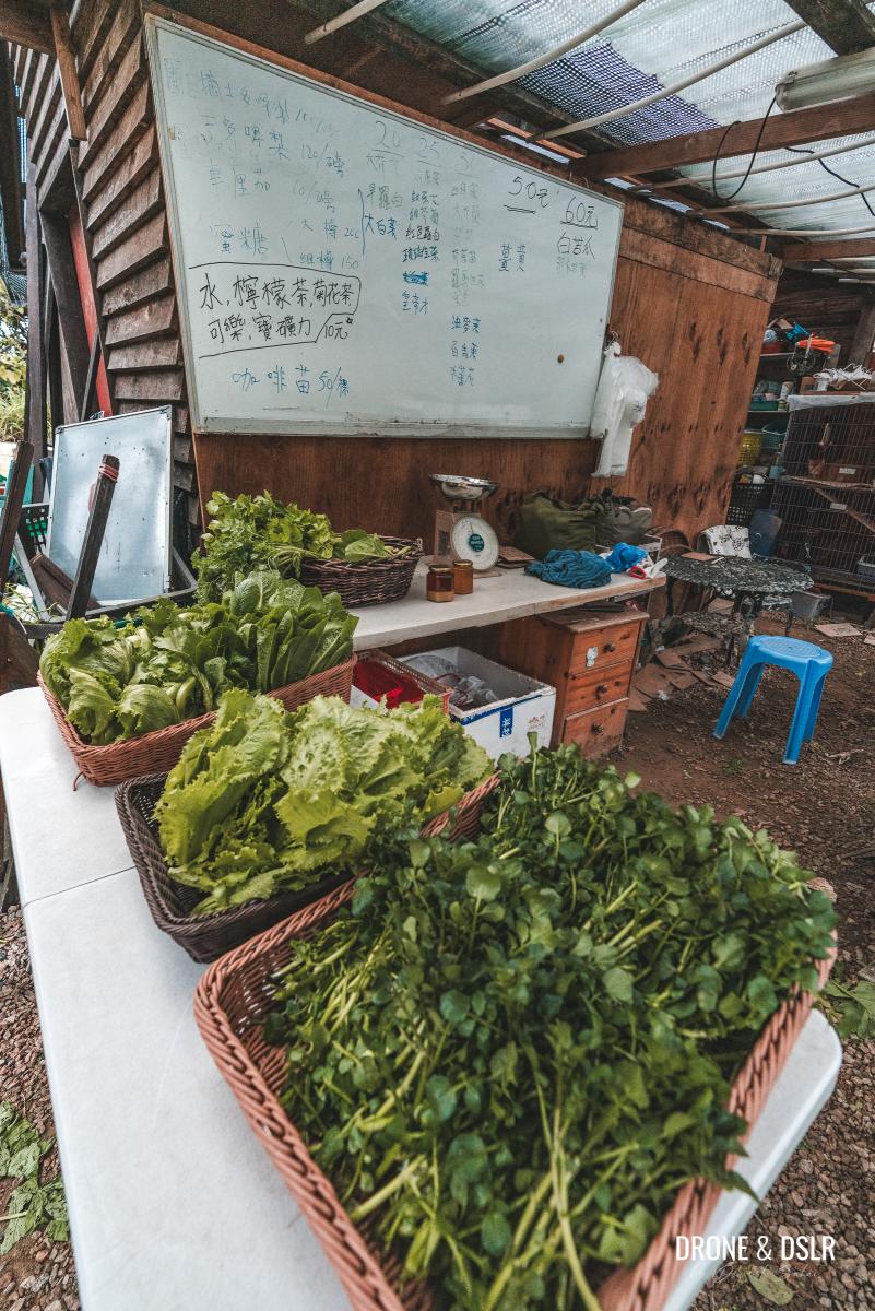
As you enter the village, you’ll find a farmer selling fresh produce and honey at “Kengor Bee Farm” (元哥蜜蜂農莊). Feel free to grab some farm-fresh goodies before continuing your hike.
-
- As you enter Mui Tsz Lam Village, there’s a farm fresh shop (Kengor Bee Farm)

-
- Grab some fresh produce before continuing on your hike
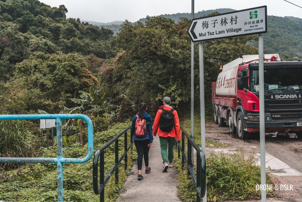
Quick note: At this point, the trail for the Penis Rock diverges and heads uphill towards the village.
Take the path behind Kengor Bee Farm
To continue on the Mau Ping Ancient Trail, find the path adjacent to Kengor Bee Farm and follow it as it winds its way alongside the village.
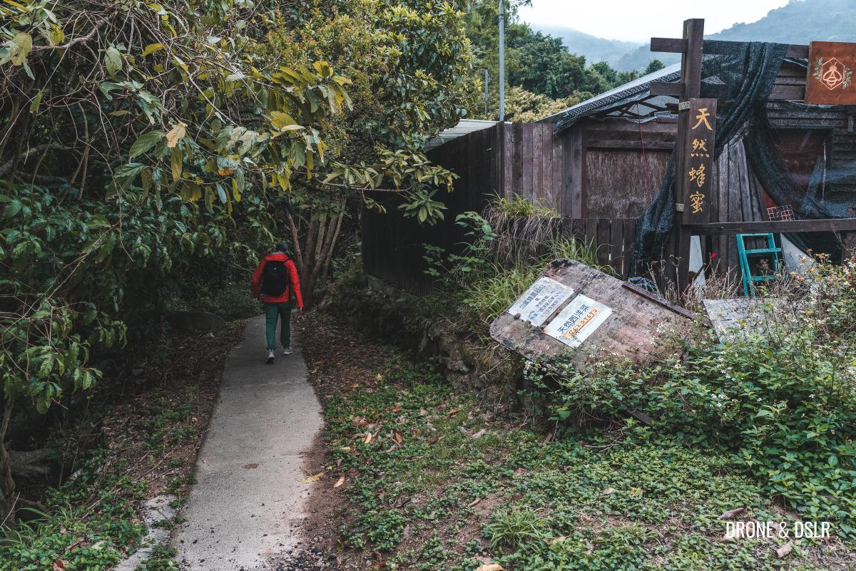
To continue, take this path adjacent to Kengor Bee Farm
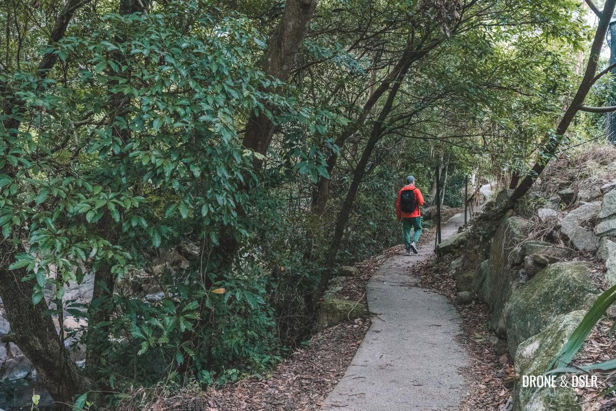
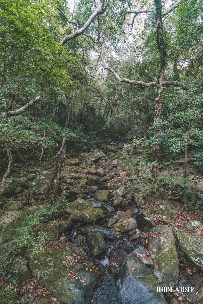
At this point, the trail runs parallel to the Mau Ping Stream on one side and Mui Tsz Lam Village on the other. You’ll notice a fence separating the trail from the village, which is due to the farm land on the other side.
-
- The path run parallel to the stream and village
-
- The Mau Ping Stream
However, if you gaze into the distance, you should be able to spot the iconic Penis Rock perched on the hill, a phallic landmark in Hong Kong.
Can you spot the Penis Rock from here?
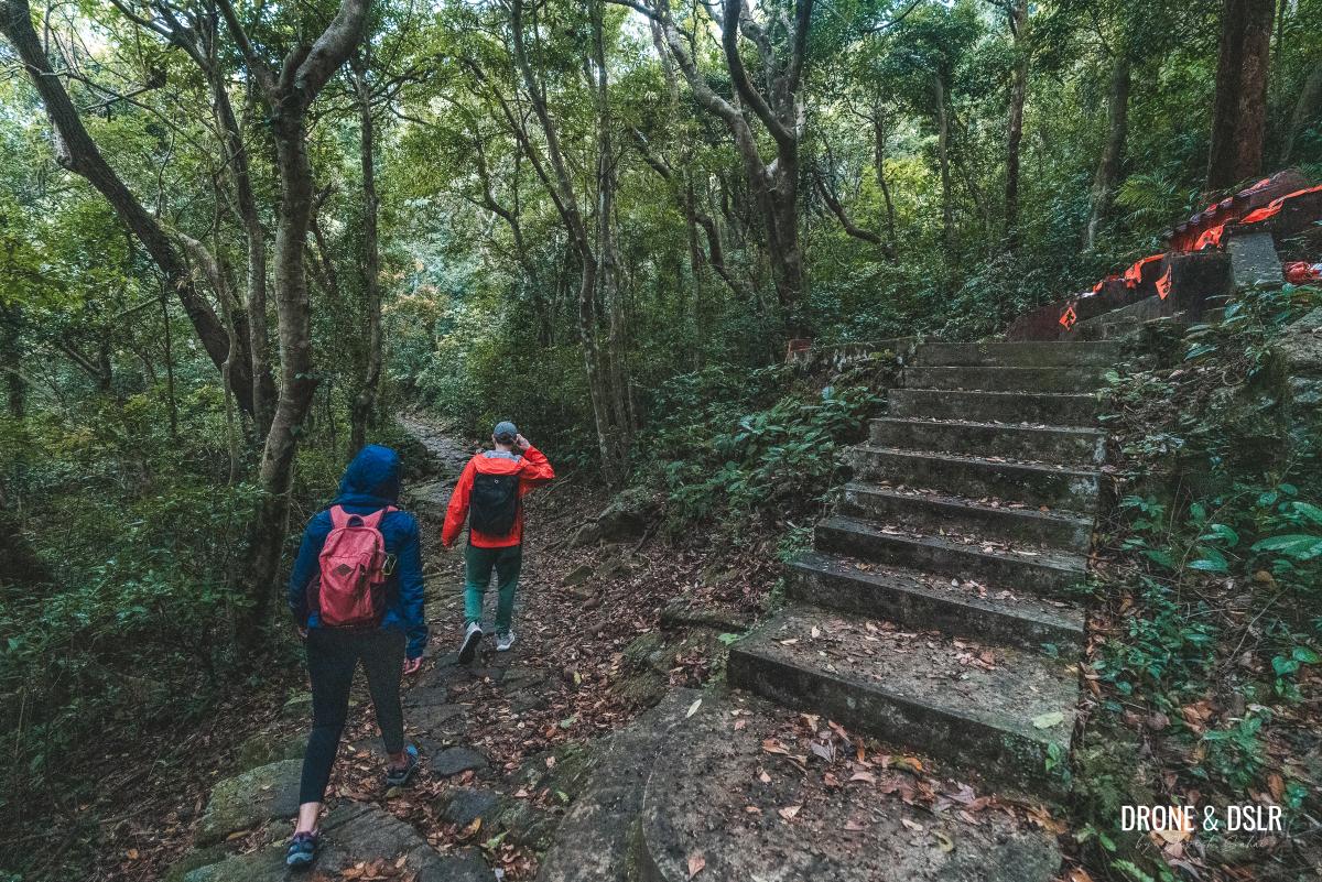
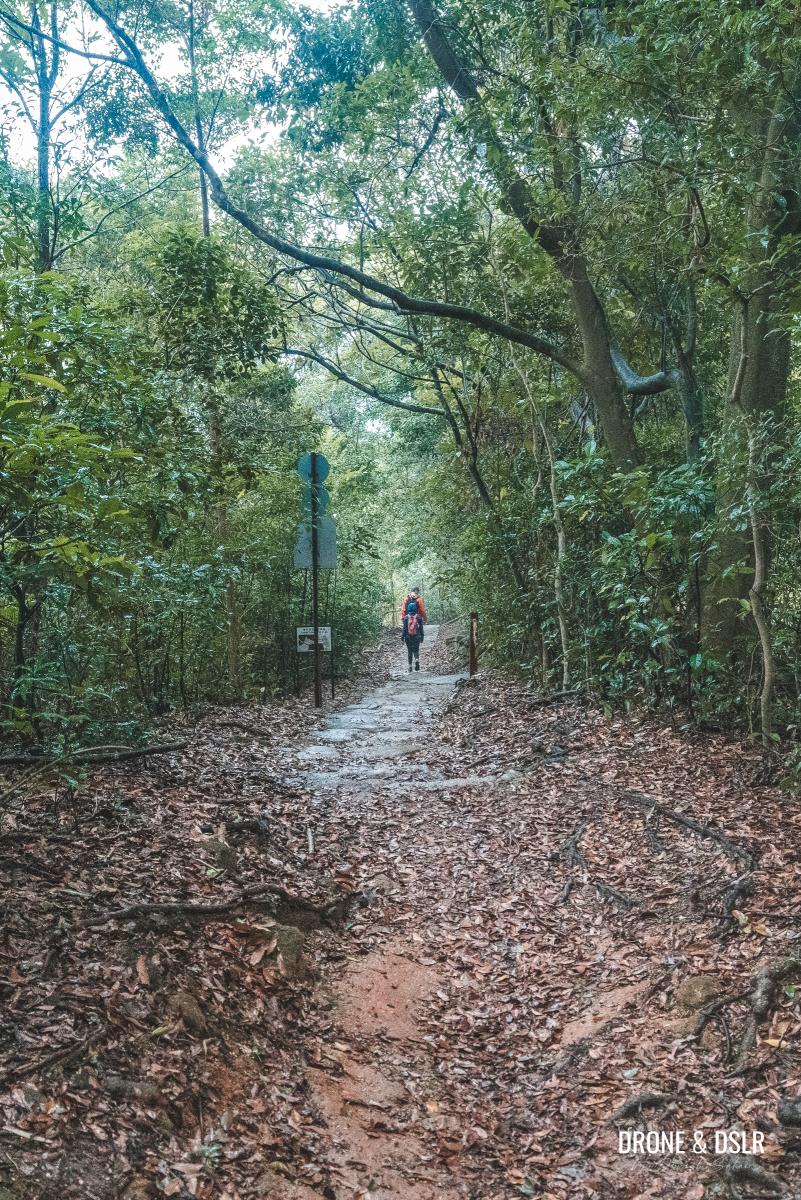
Proceed along the path and climb up the short flight of steps that follow. Just beyond the steps, another path intersects with the one you’re on. At this point, continue straight ahead, following the sign for Mau Ping.
-
- Keep walking on the path and along the stream
-
- Climb the steps that follow
-
- At the point where the two paths converge, go straight and follow the signs for Mau Ping
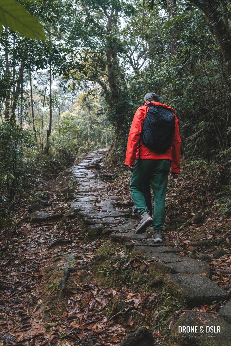
Towards Mau Ping
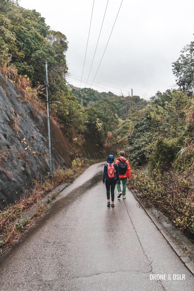
The next 1.7 kilometres of the hike involve a gradual and steady climb towards the Mau Ping Area and its abandoned village.
Leaving Mui Tsz Lam Village behind
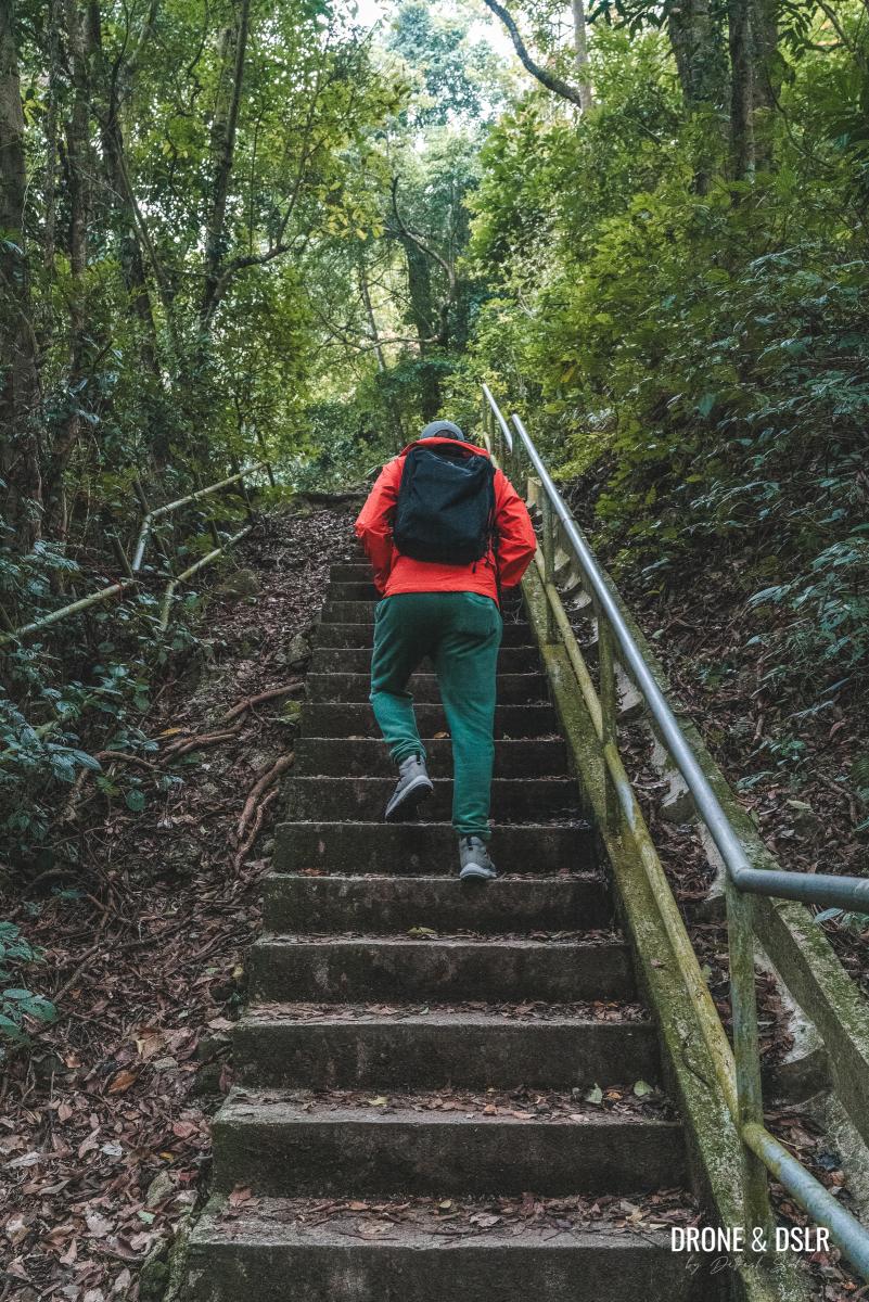
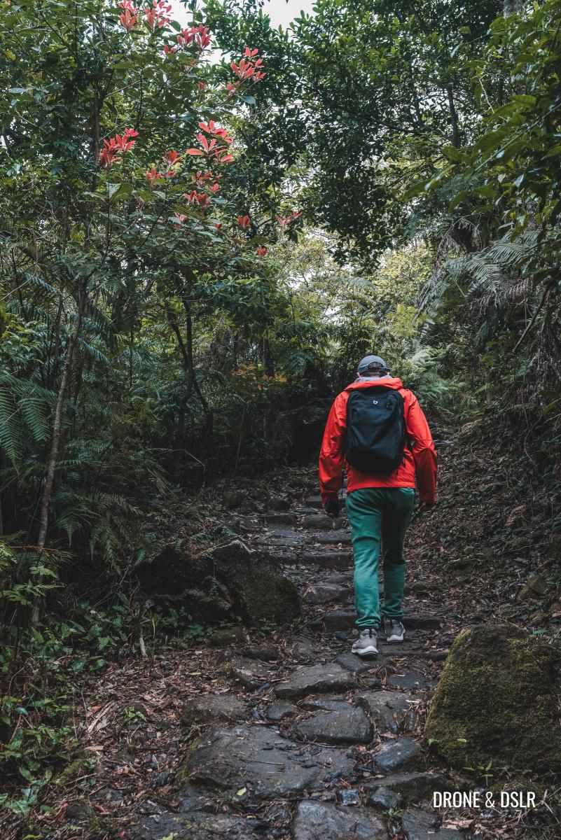
As you leave the village behind, take note of a small temple situated on the outskirts. Beyond the temple, the trail begins to ascend, transforming into a stone path, a characteristic feature of ancient trails in Hong Kong.
-
- A small temple on the outskirts of Mui Tsz Lam Village
-
- The stone path and the uphill walk begin
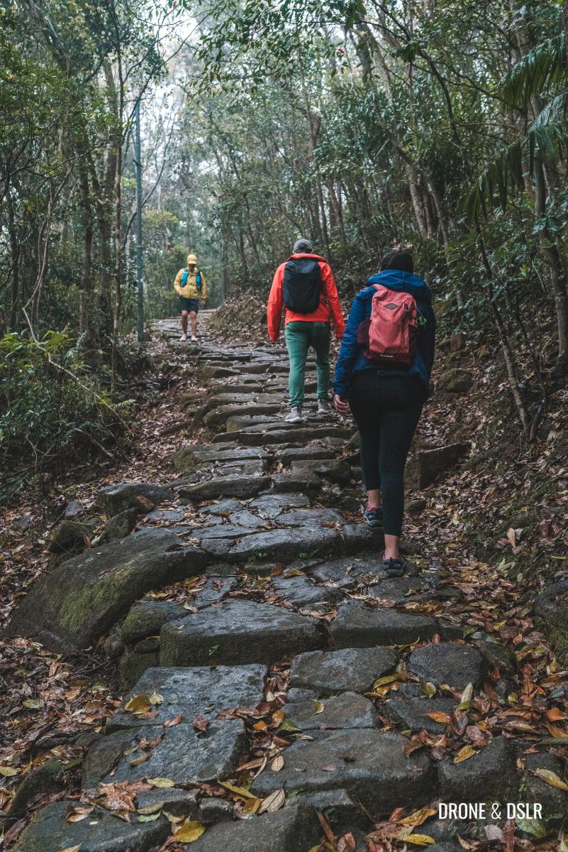
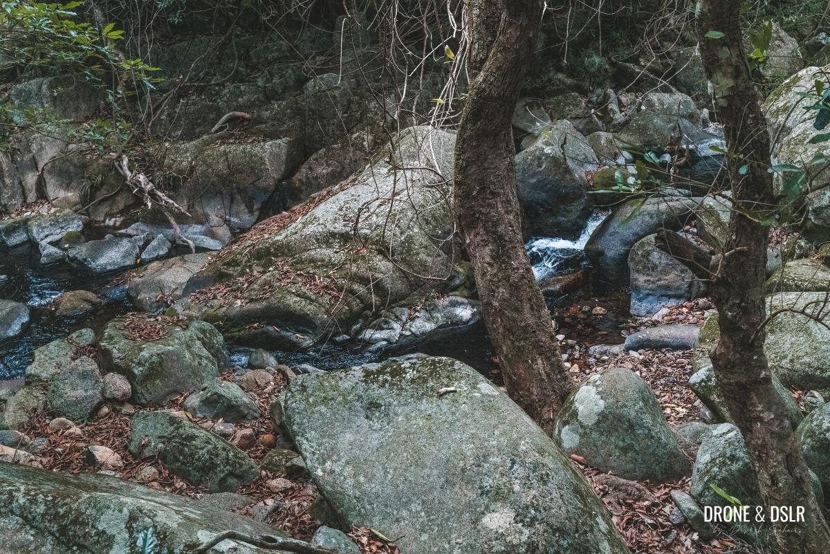
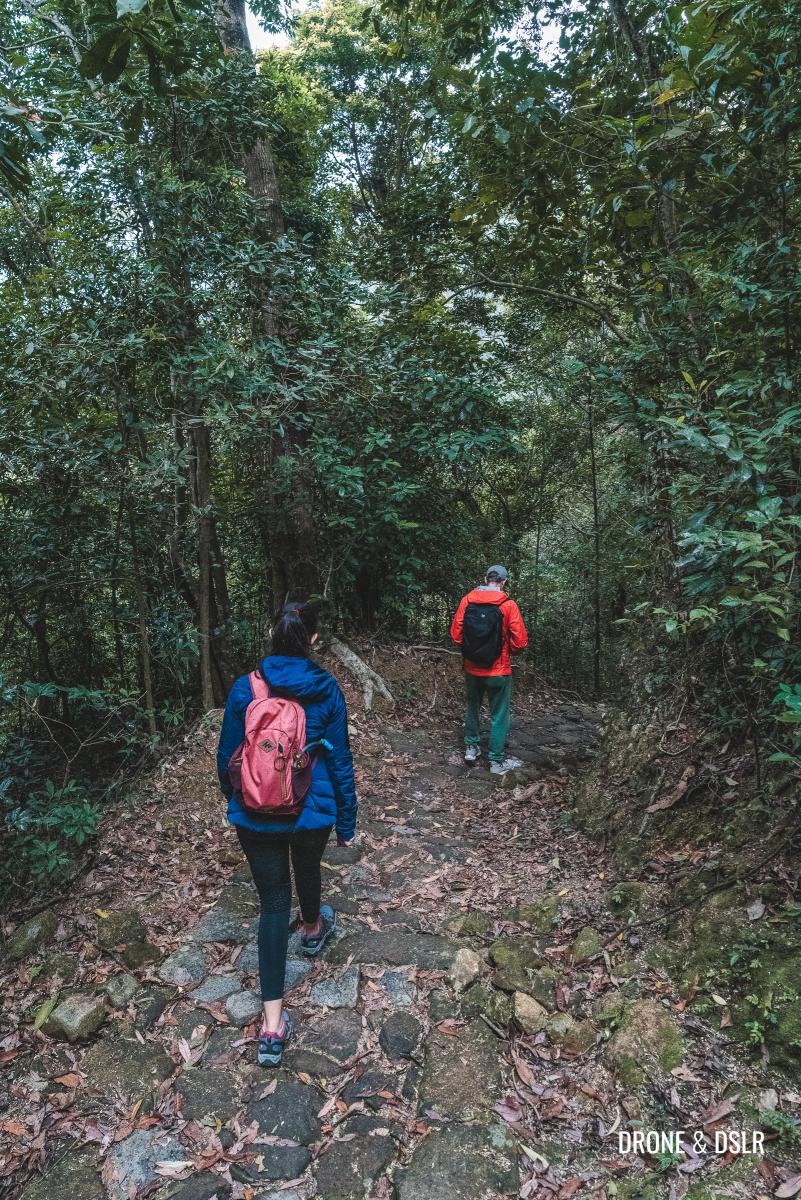
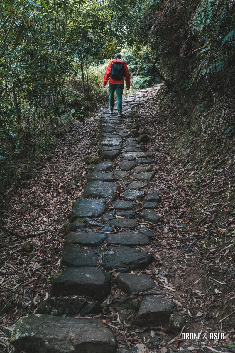
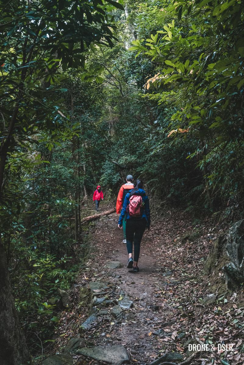
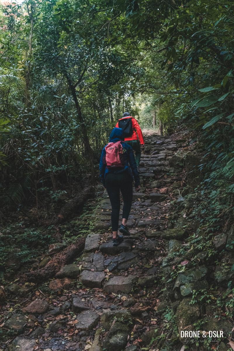
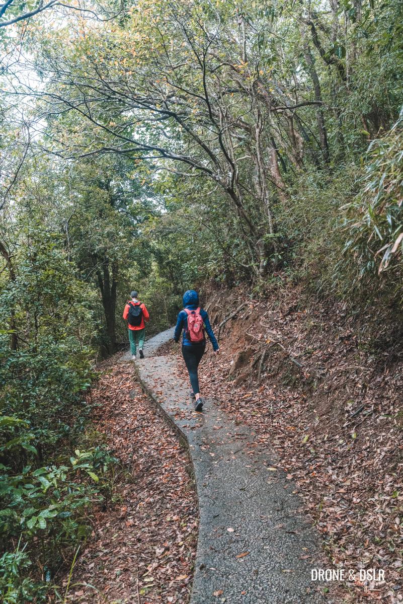
The shaded trail winds its way uphill, offering serene views of the lush hills of Ma On Shan Country Park. Along the way, you’ll cross a few small waterfalls that feed into the Mau Ping Stream below.
-
- The Mau Ping Ancient Trail
-
- The incline is quite easy
-
- A few flat sections along the way
Continue on the trail until you reach another small temple, accessible via a flight of steps.
-
- Keep going up on the stone path
-
- Views of the Ma On Shan Country Park along the way
-
- Making our way to the Mau Ping Area
-
- Passing the second temple on the way
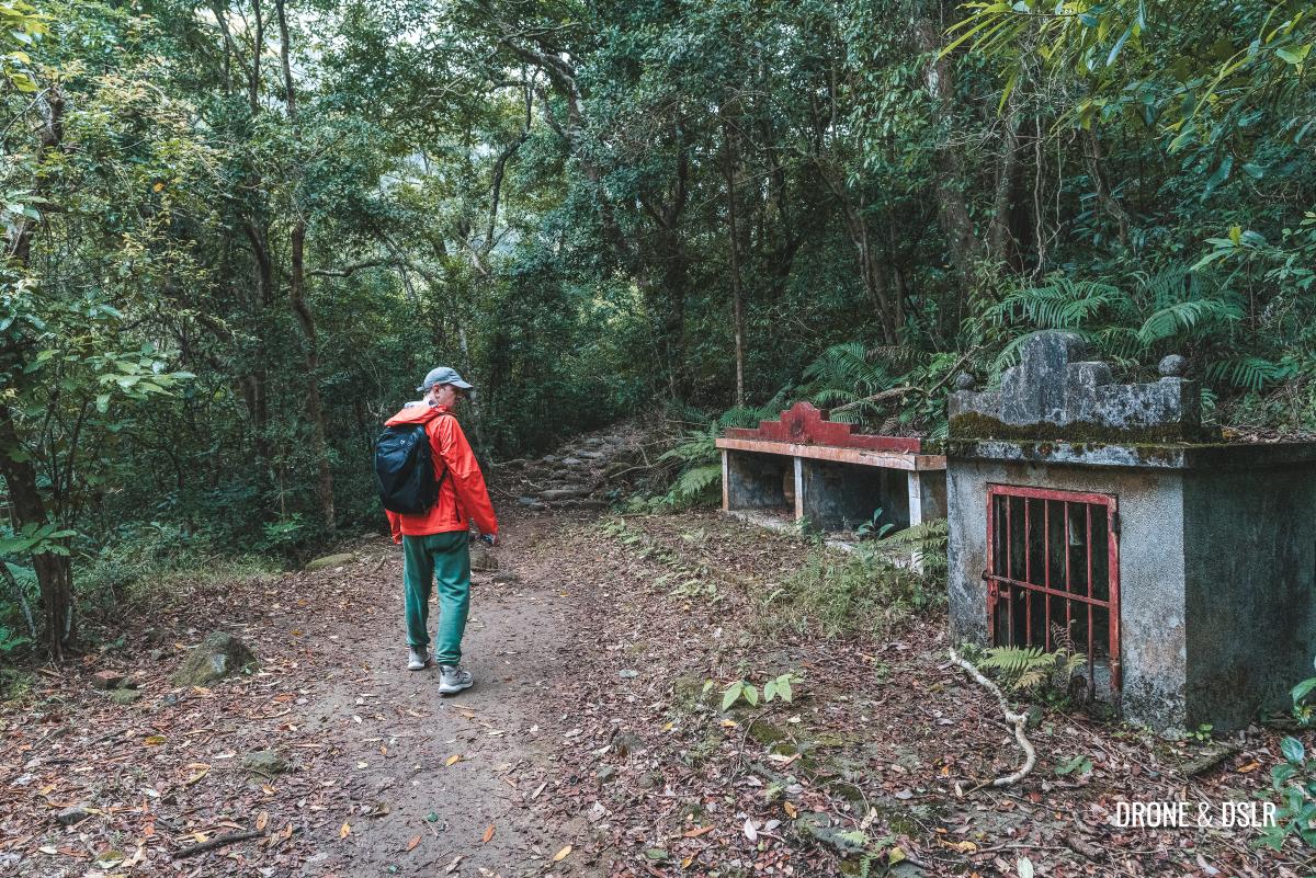
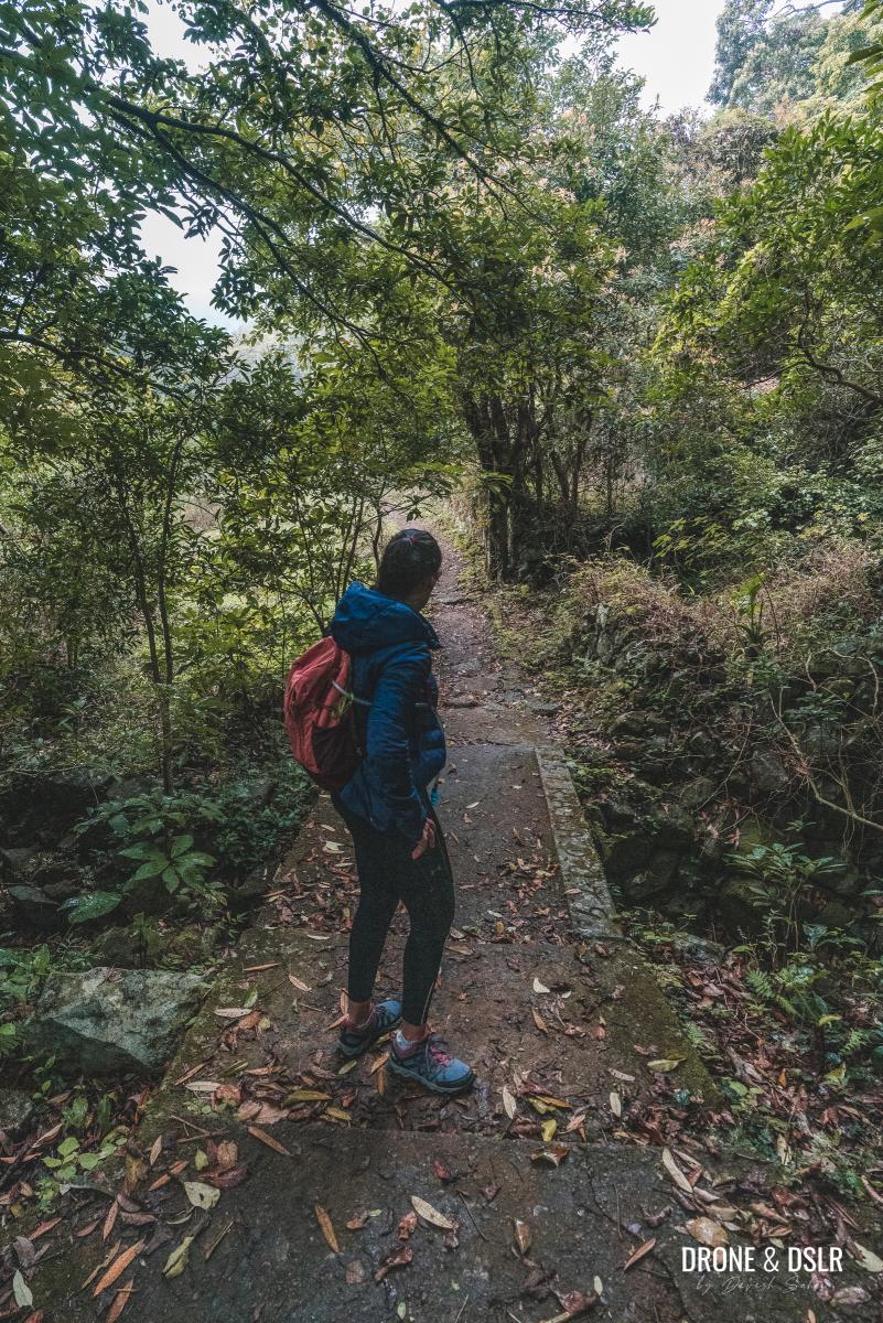
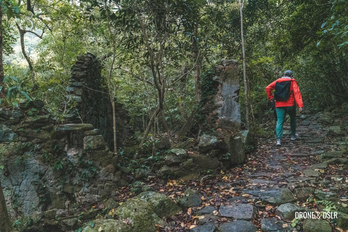
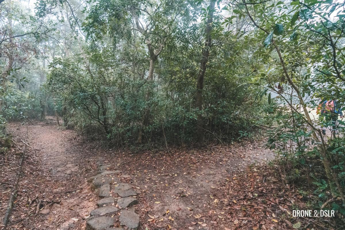
As you approach the abandoned village, the views of the surrounding hills give way to a dense forest, enveloping you in its tranquillity.
In the Mau Ping Area
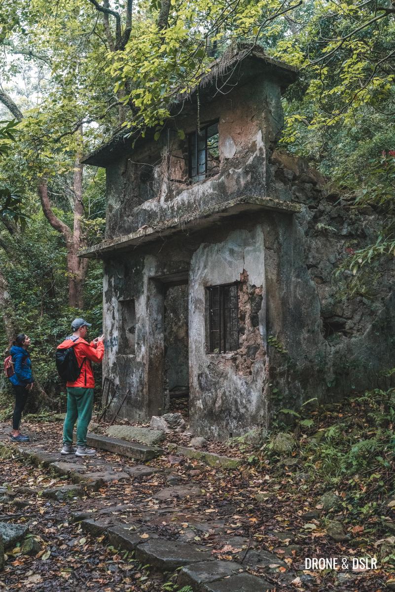
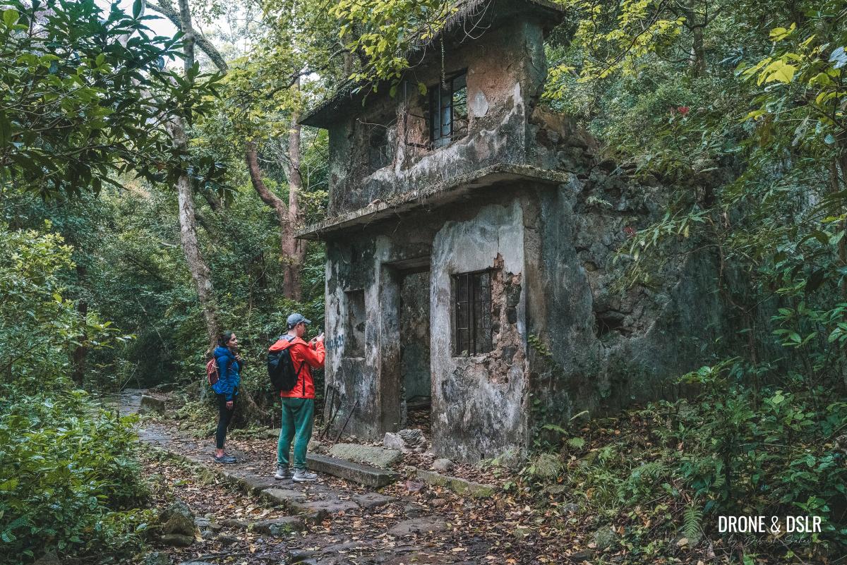
It’s here that you’ll catch your first glimpse of an abandoned house, a harbinger of the abandoned village’s eerie charm.
The first abandoned house in the Mau Ping Village
The Abandoned Mau Ping Village
Although I couldn’t find when the village was abandoned, according to this Wikipedia article, the last known survey of the village was done in 1911.
Nature has taken over
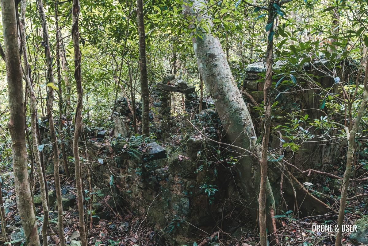
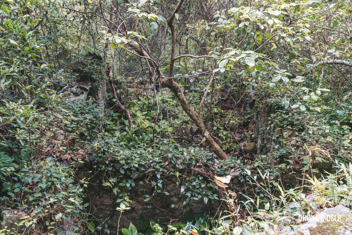
As you enter the abandoned village, stay on the trail and take in the eerie beauty of the deserted structures.
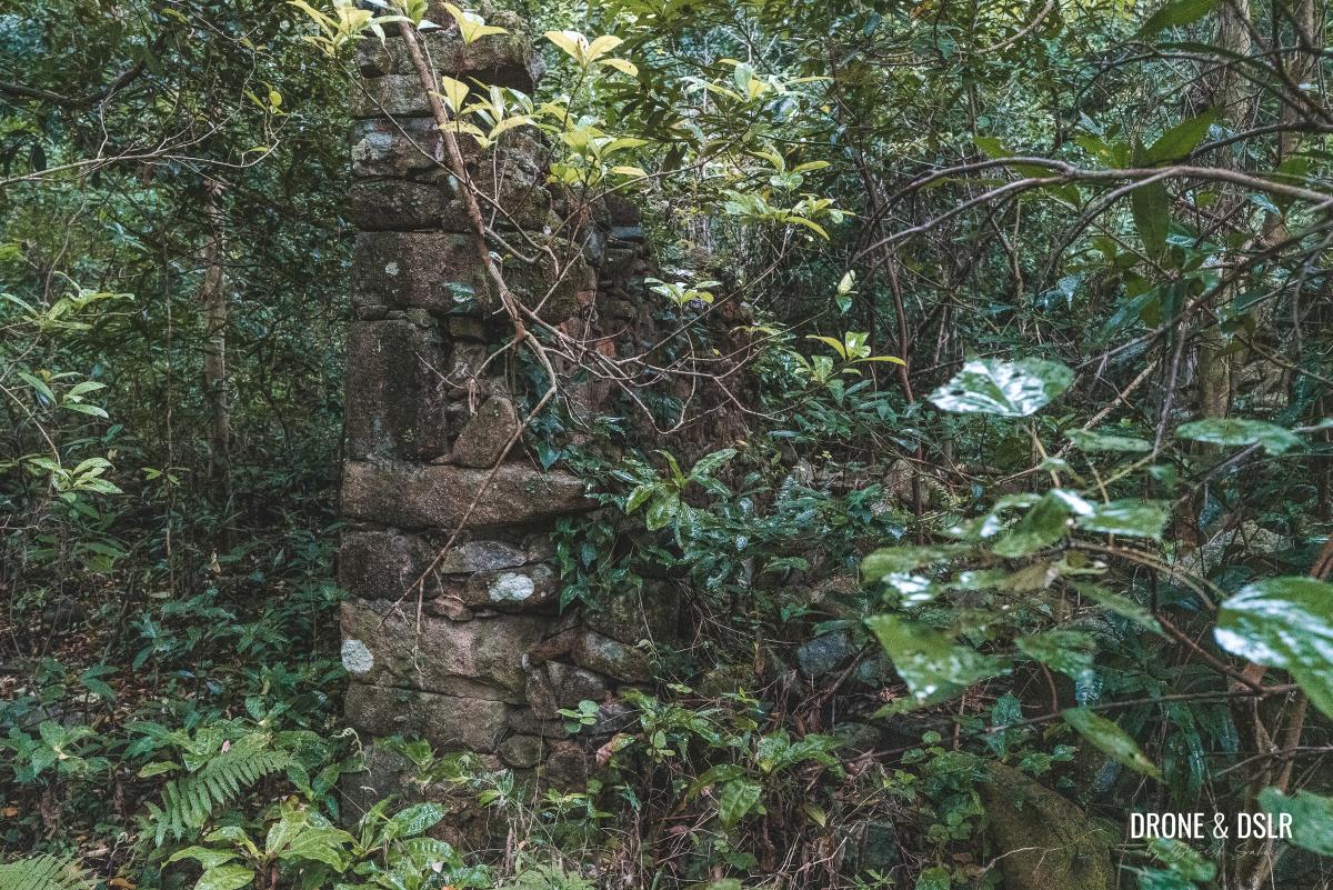
The outer wall of another abandoned house in the former Mau Ping Village
One of the most striking sights is a house with its outer walls still largely intact, a hauntingly beautiful relic in the midst of the jungle.
-
- One of the last standing houses in the abandoned Mau Ping Village
-
- Inside the abadoned house
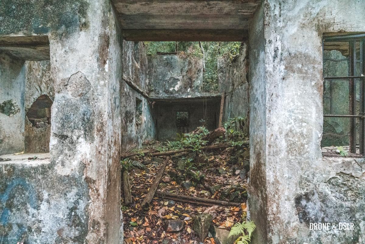
As you continue along the trail, notice the many other abandoned structures on either side, some of which may be hidden by the overgrown vegetation.
Another structure in the former Mau Ping Village
Markings on the Bridge
As you’re admiring the abandoned village, take note that the trail turns left, over the stream. Notice the marking on the bridge, “1957 KAAADOT9“.
The trail carries on over this tiny bridge
I couldn’t find any reference of this bridge or what the markings mean. But if you do, please leave me a comment below.
Thank you fat_duckk (on Instagram) for enlightening me on what these markings mean. For anyone interested in learning about the history of KAAA (the forerunner of the Kadoorie Farm) can read this interesting article.
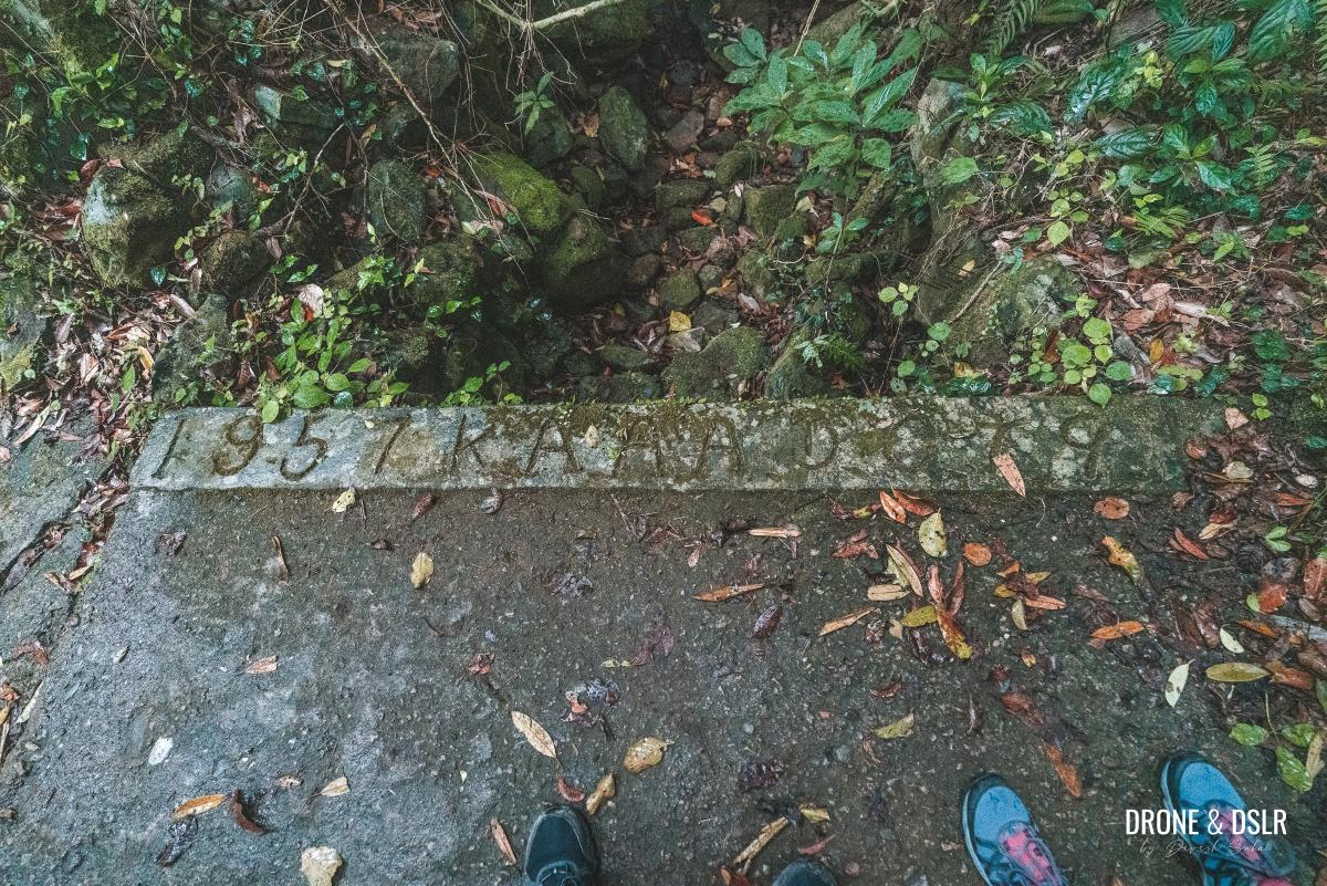
Bridge markings…wonder what they mean?
Lau’s Ancestral Hall
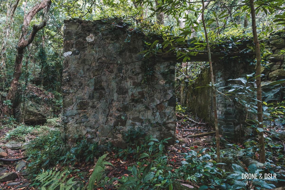
Just beyond the bridge lies another stunning abandoned structure from Mau Ping Village. This building seems more intact than the others, with vines hanging from the roof, offering a glimpse into the area’s past.
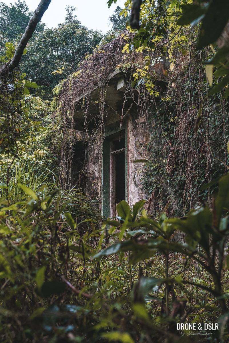
A hauntingly beautiful building in the former Mau Ping Village
Next to this structure is Lau’s Ancestral Hall, a small building with a distinctive red tiled roof and red facade.
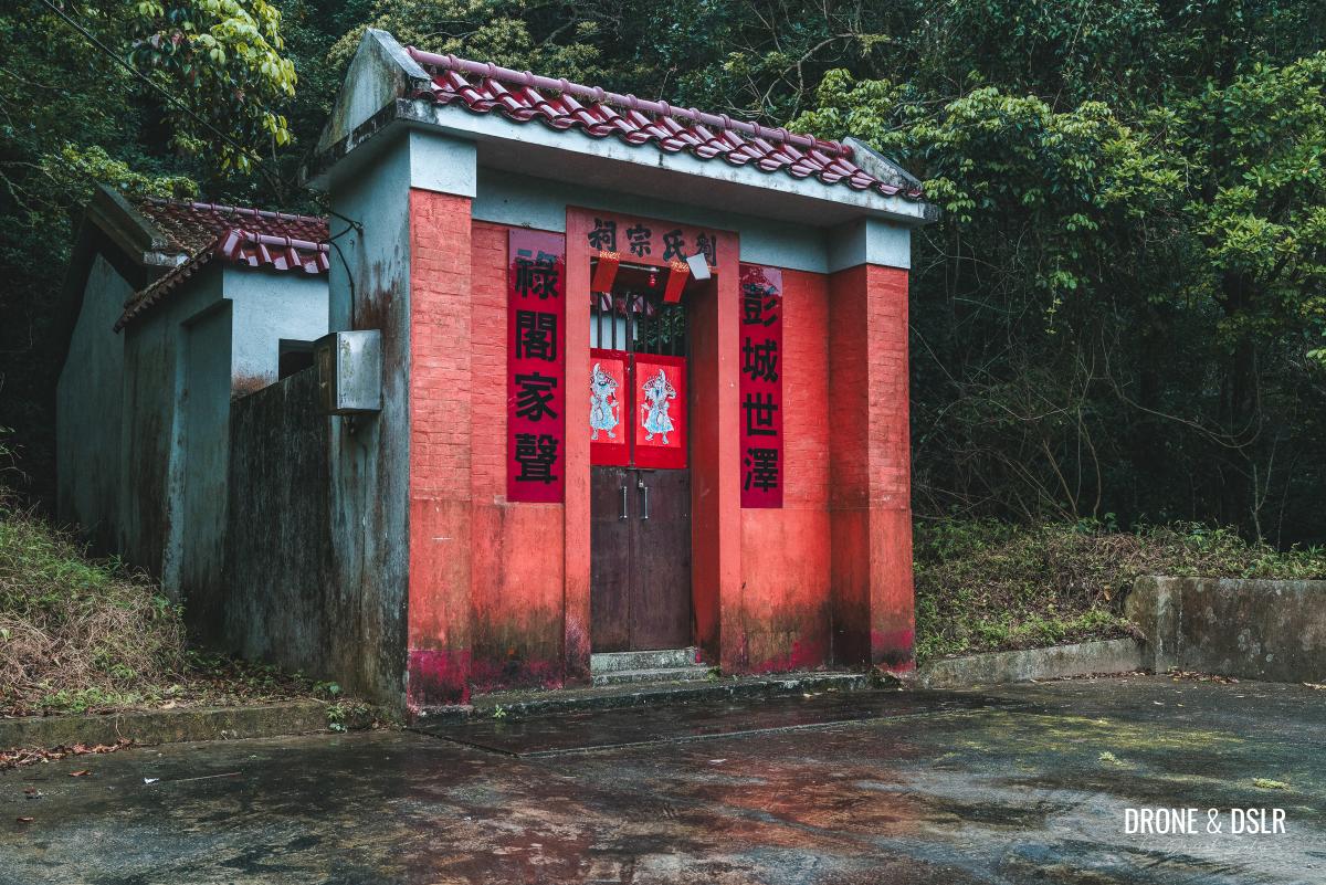
Lau’s Ancestral Hall, Mau Ping Ancient Trail
And a short walk from here will bring you to the last abandoned structure in the former Mau Ping Village.
Passing the last remnants of the former Mau Ping Village
As you exit the village, you’ll be treated to one final attraction: a bridge over the Mau Ping Stream. Stand on the bridge and admire the stream flowing down the rocks, surrounded by a lush canopy of trees.
-
- The bridge over the Mau Ping Stream

-
- Views of the Mau Ping Stream
The Climb to Mau Ping Au
Cross the bridge over the Mau Ping Stream to continue on the hike. Although this isn’t a particularly challenging hike, but the section that follows is perhaps the steepest section.

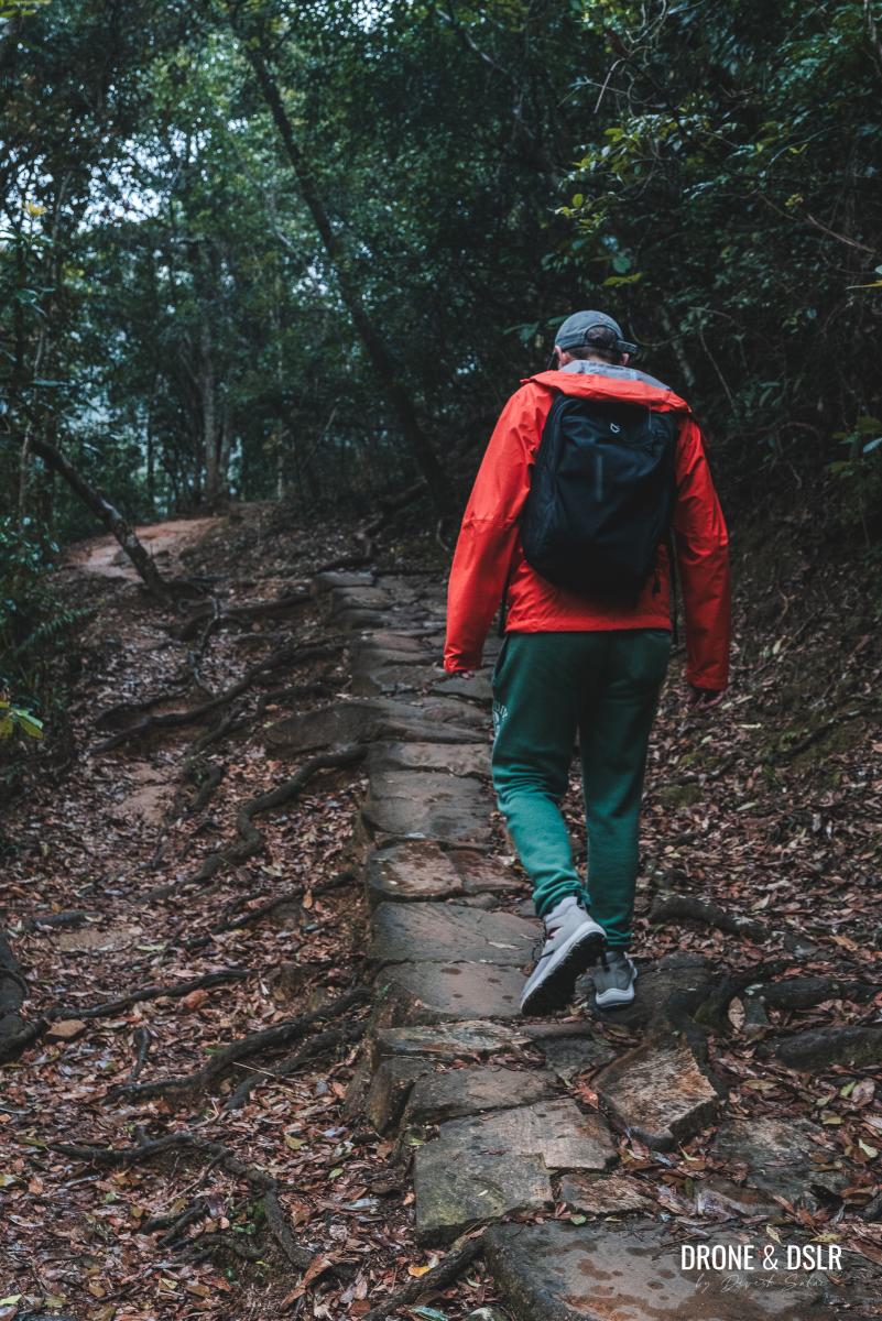
Carry on hiking next to this stone wall
As the trail begins its climb, it curves right around what I only describe as a stone wall. Along the way, we did catch a glimpse of some beautiful foliage and berries.
-
- A bit of colour on our hike

-
- The incline after the stream

The consistent uphill climb can be challenging for some. So, hike at a comfortable pace and take breaks if needed.
-
- The stone path continues uphill
-
- Climb at a comfortable pace

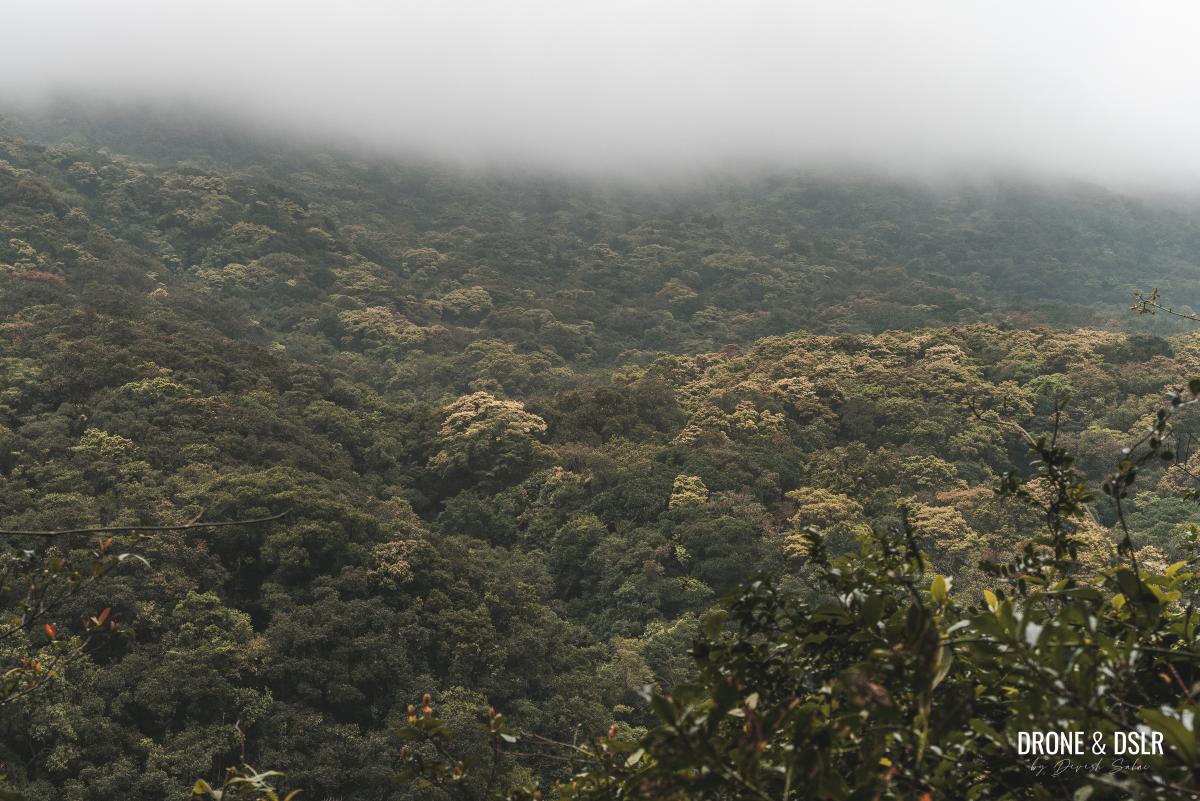
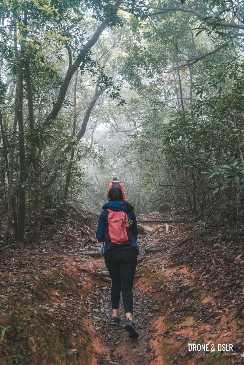
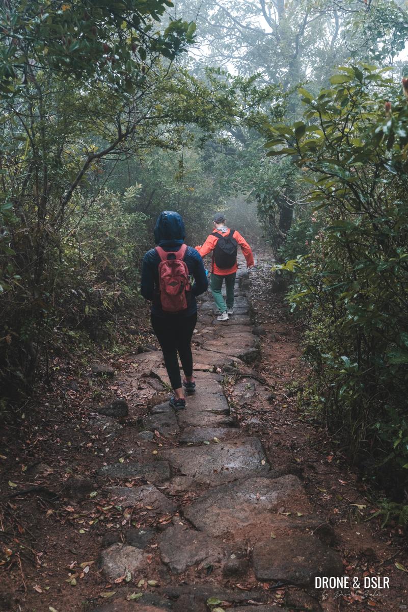
As we kept gaining altitude, we kept getting closer to the clouds. And by the time we were on top of the hill, we were surrounded by the foggy mist. Of course, if you’re hiking on a clear day, your experience will be quite different.
-
- We’re almost in the clouds now

-
- Nearing Mau Ping Au
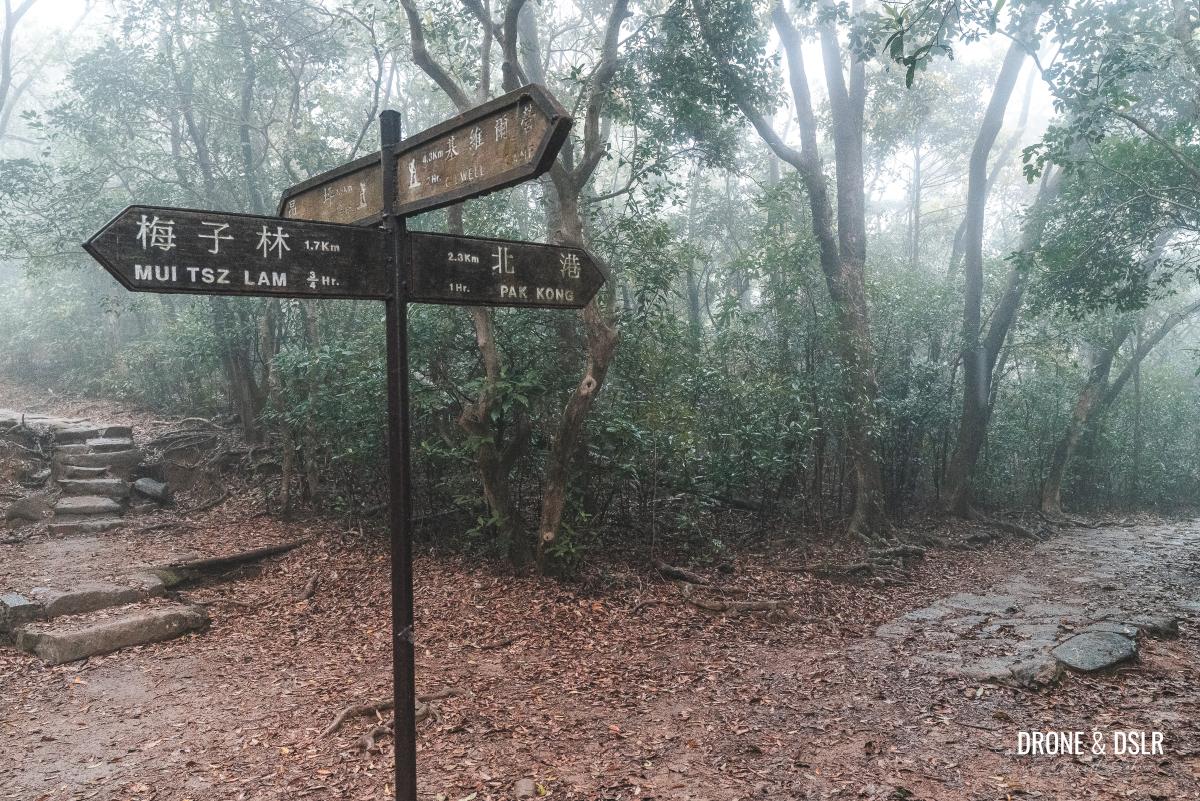
Once the trail flattens out, keep an eye out for an intersection where multiple trails converge. This is Mau Ping Au.
At Mau Ping Au, turn right
On your right, you’ll find the Mau Ping Resting Area, a welcome respite after the climb.
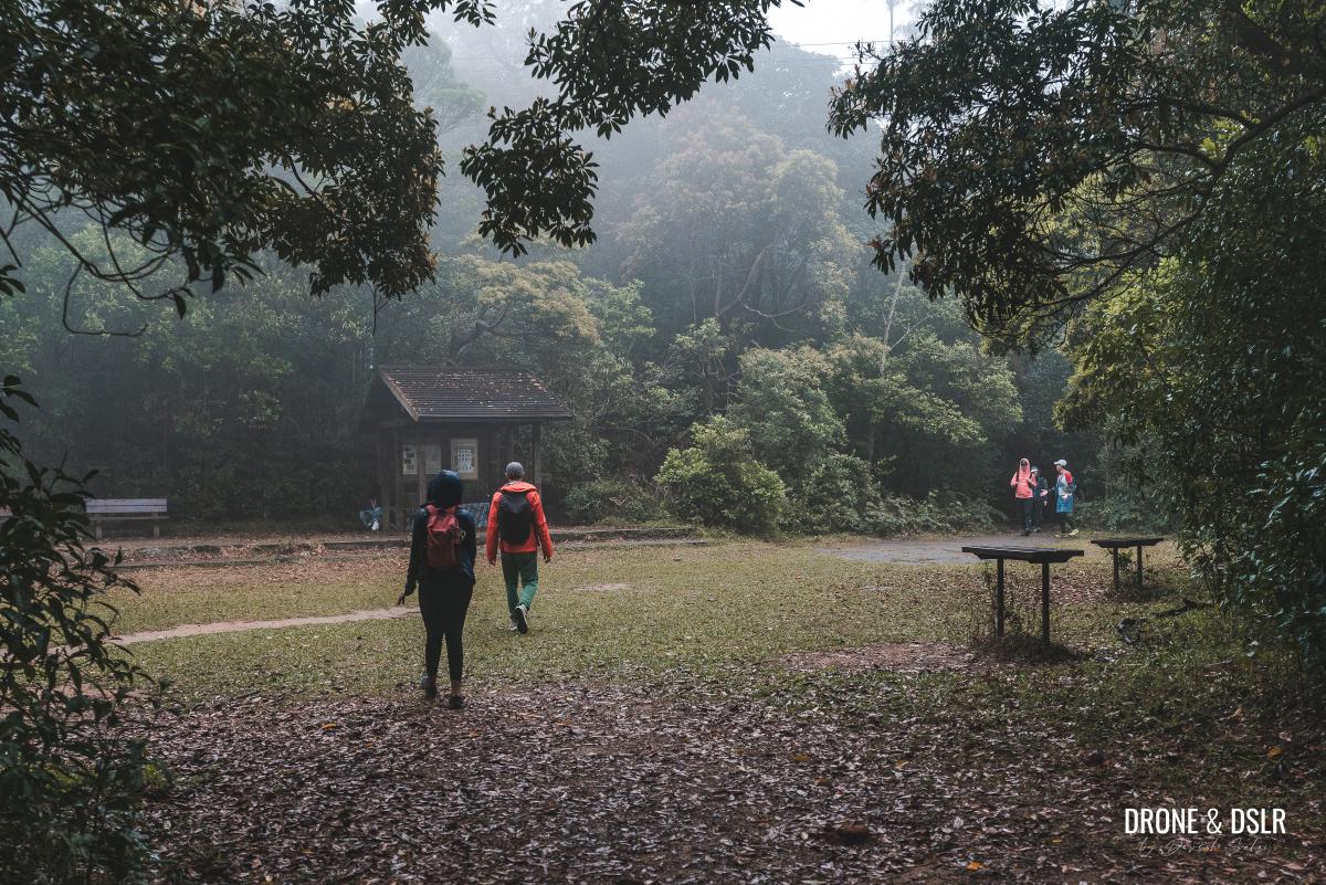
The Mau Ping Resting Area
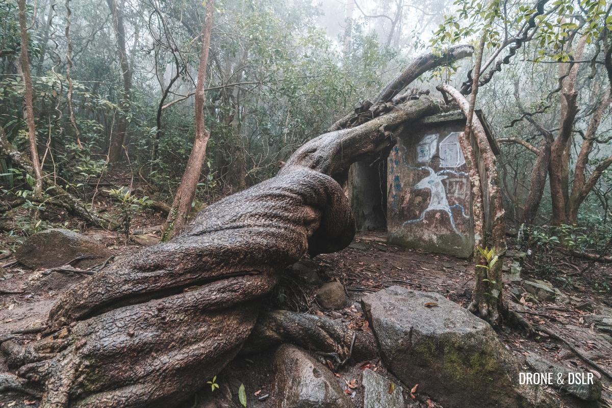
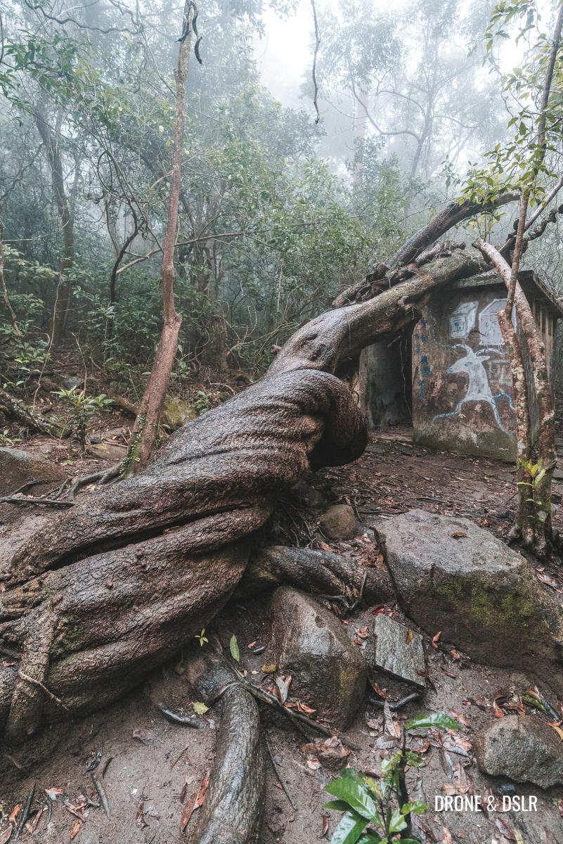
To The Vine King (藤王), aka King of Gogovine
Turn right towards the Mau Ping Resting Area, a charming garden featuring tables, benches, and a pavilion. Don’t be surprised if you spot cows grazing nearby – they’re just enjoying the scenery!
But the real attraction lies beyond the garden. To the right of the pavilion, a grass-less path leads into the woods. Follow it, and as you enter the tree canopy, look to your right for the iconic Vine King (藤王), also known as the King of Gogovine.
-
- Follow this path into the woods
-
- The King of Gogovine is easy to spot
This rare Entada phaseoloides tree is a natural wonder, with its twisted, leathery vine trunk resting on a small structure.
-
- The leathery trunk of the King of Gogovine

-
- Human for scale next to the King of Gogovine (Vine King)
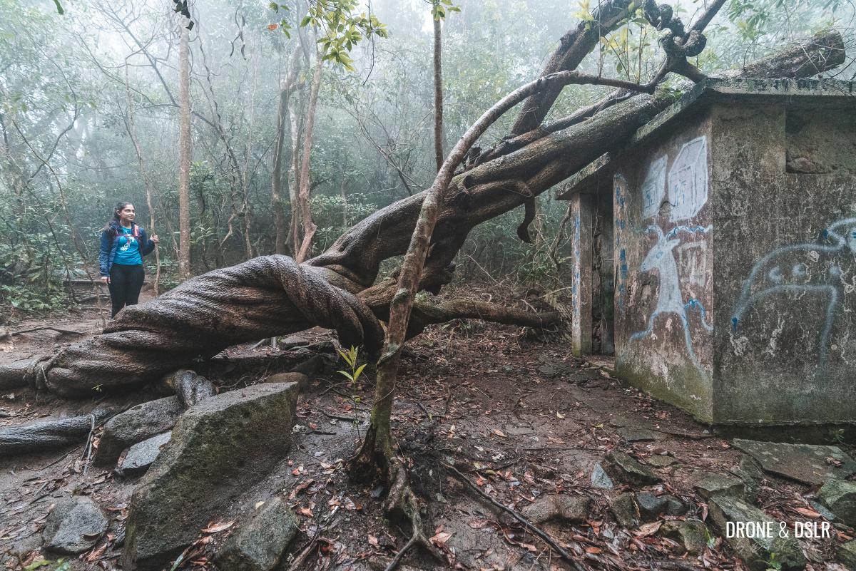
The King of Gogovine is one of Hong Kong’s most photographed trees, and it’s easy to see why – it’s a true Instagram sensation!
-
- The King of Gogovine
-
- Hikers come from all over to see this natural wonder

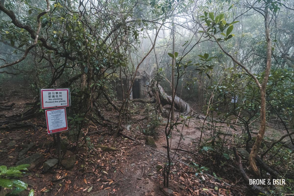
Please note that the tree was vandalized in 2023, but it still retains its natural beauty. Be respectful and refrain from climbing or damaging the tree in any way.
Enjoy the resting area
After admiring the King of Gogovine, return to the Mau Ping Resting Area and take a break. This peaceful spot is a rare gem, offering a serene atmosphere amidst the hiking trail.
As this resting area lies on Section 4 of the popular Maclehose Trail, you definitely will have company. Nevertheless, it’s a wonderful place to relax and recharge before continuing your journey.
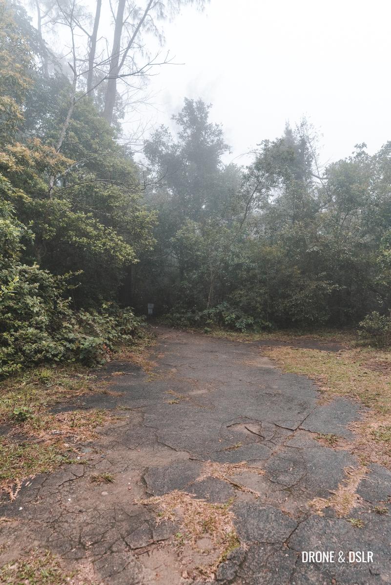
Begin The Descent
After the Vine King, it’s time to start your descent and along the way visit the final attraction on the Mau Ping Ancient Trail.
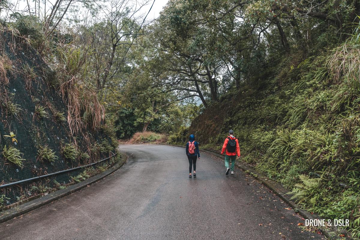
Return to the intersection of trails and turn right, follow the signs for Pak Kong. The initial section of the trail remains relatively flat and easy.
-
- Return to the intersection of trails and turn towards Pak Kong
-
- Heading down to Pak Kong
-
- This section of the trail is quite easy

After approximately 250 m, the trail splits in two. At this point, take the path going downhill on the right and follow the signs for Pak Kong.

At the fork, stay right and follow the signs for Pak Kong
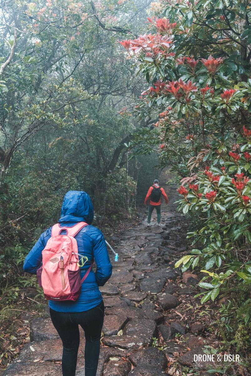
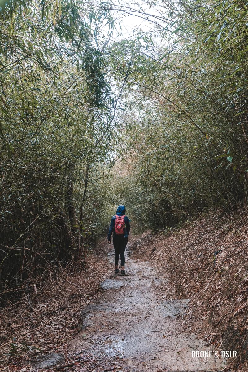
From this point, the trail begins to descend more steeply on a stone path. Unfortunately, the rain made the path extremely slippery for us, but if the path is dry, it shouldn’t pose any issues.
-
- The rain and mist made the stone path very slippery for us
-
- Views of Sai Kung coming up (not for us)

Continue descending until the trail opens up, and you’ll catch a glimpse of Hebe Haven in the distance. Although we didn’t have a clear view on that day, this would be a stunning view on a sunny day.

That’s Hebe Haven ahead (we could tell even through the clouds)
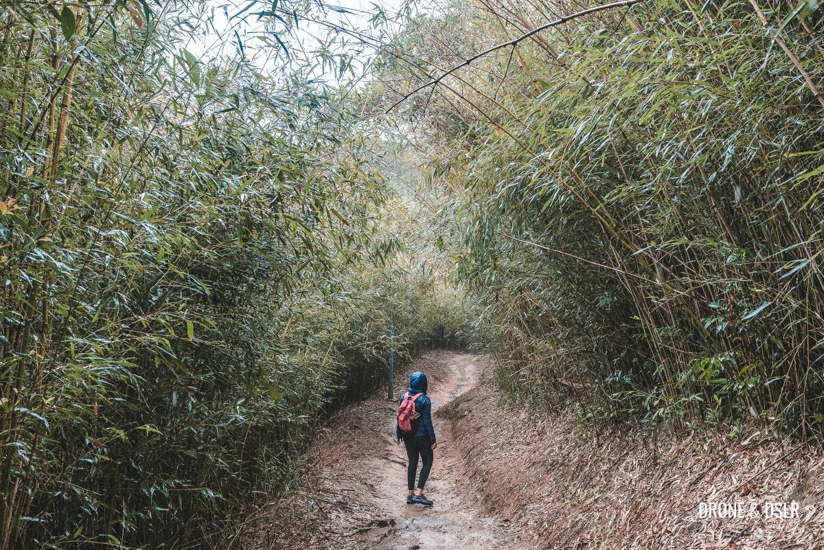
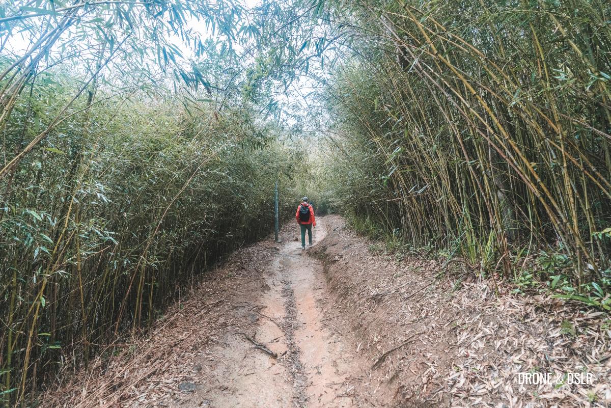
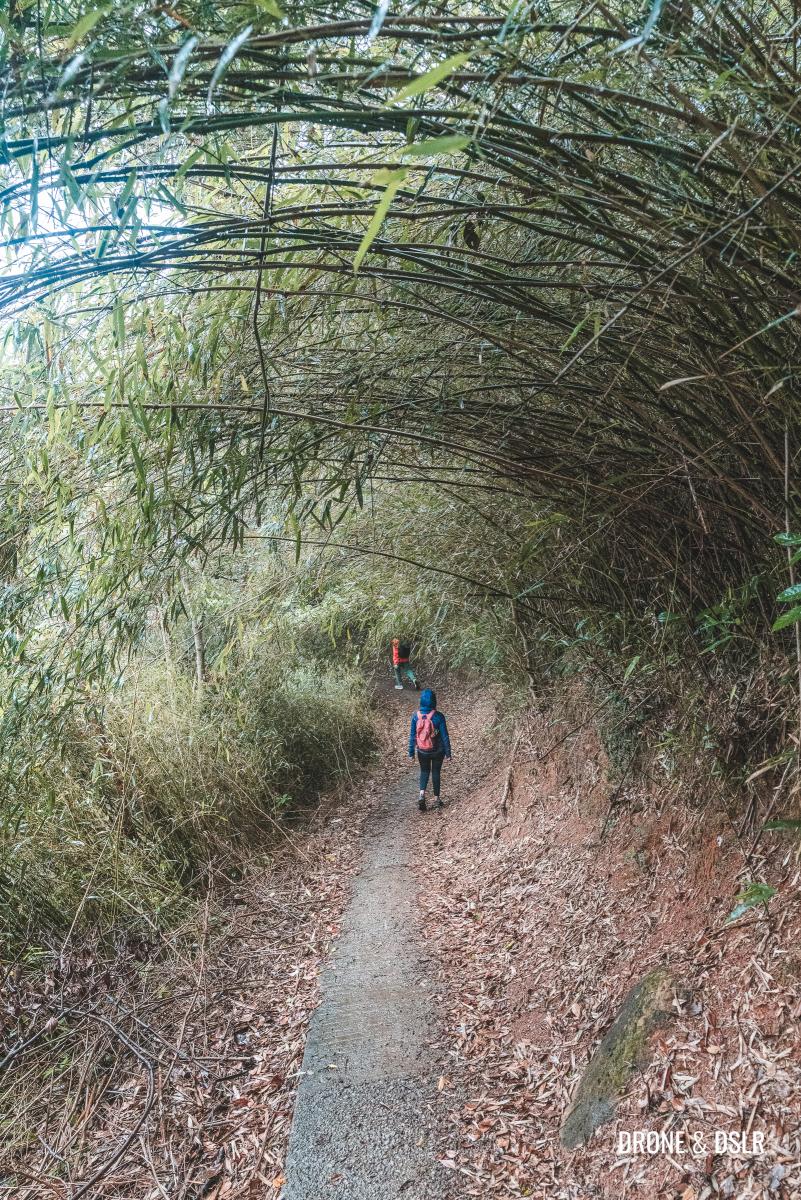
As you descend further, the view disappears, and suddenly, you’ll find yourself surrounded by a bamboo forest.

Now entering the Bamboo Tunnel
The Bamboo Tunnel (北港竹林隧道)
The next 100 metres of the trail is referred to as the Bamboo Tunnel (北港竹林隧道) or sometimes Bamboo Grove.
-
- Cutting through a bamboo forest
-
- The Bamboo Tunnel is only about 100 metres

This section of the hike cuts through a bamboo forest, where the towering bamboo trees arch over the trail, creating a natural tunnel effect.
-
- The Bamboo Tunnel or Bamboo Grove or Bamboo Forest on the Mau Ping Ancient Trail
-
- The arching bamboos give it the effect of a tunnel
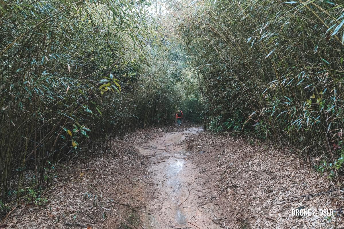
Although it’s a relatively short section of the trail, it’s undoubtedly one of the most scenic and memorable parts of the hike.
To Pak Kong Road
As you emerge from the Bamboo Tunnel, the Mau Ping Ancient Trail continues its downward slope through the Ma On Shan Country Park.
-
- Keep walking as you exit the Bamboo Tunnel
-
- More arching bamboos along the way
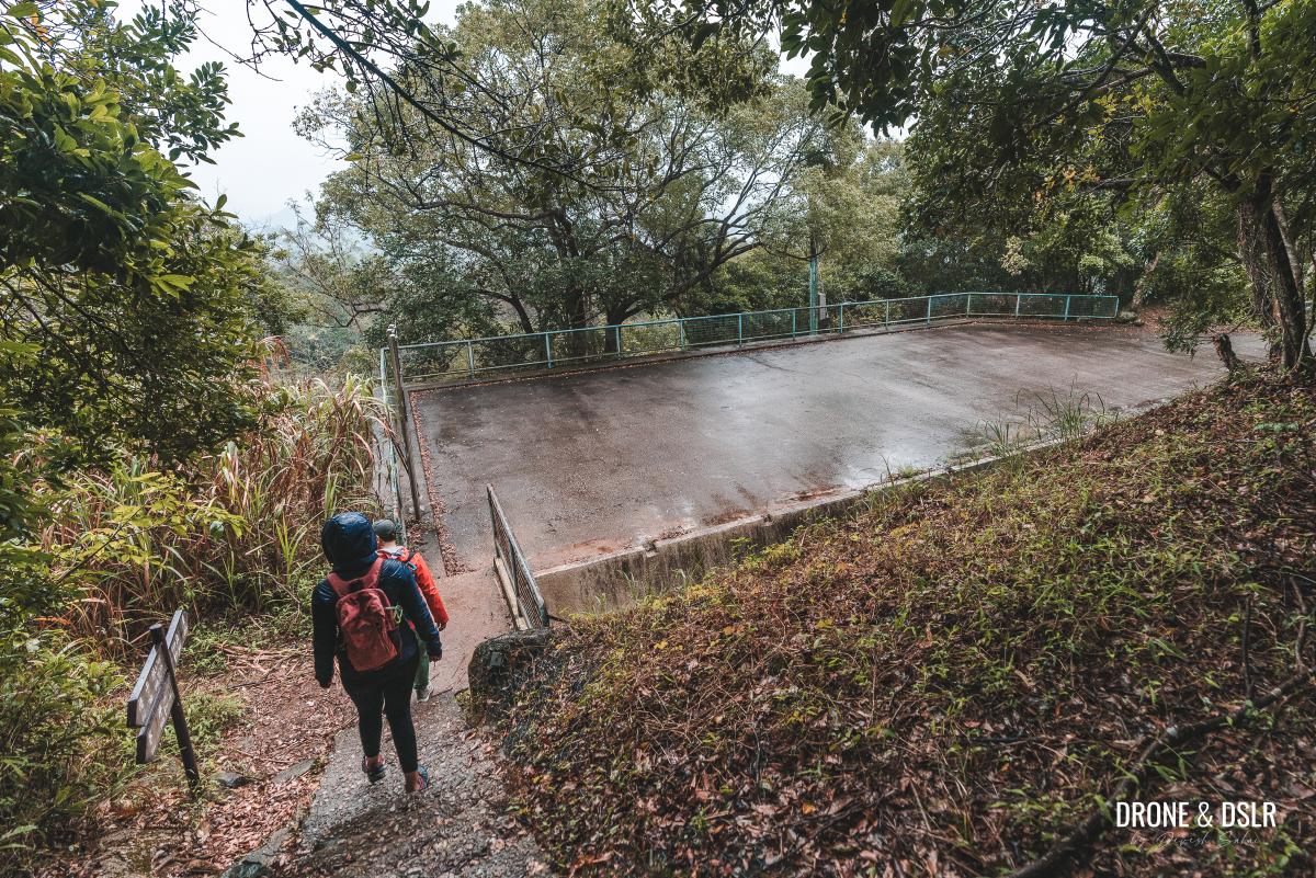
After walking for another 350 meters, the trail ends at an unmarked road, adjacent to a rectangular tarred area. Turn right and follow the road until you reach a boom gate.
-
- Almost at the end of this section of the hike
-
- Exit the trail and tun right onto the road
-
- Walk down this unmarked road
To the left of the gate, you’ll find a clearing. Cross the clearing, and you’ll arrive at Pak Kong Road.
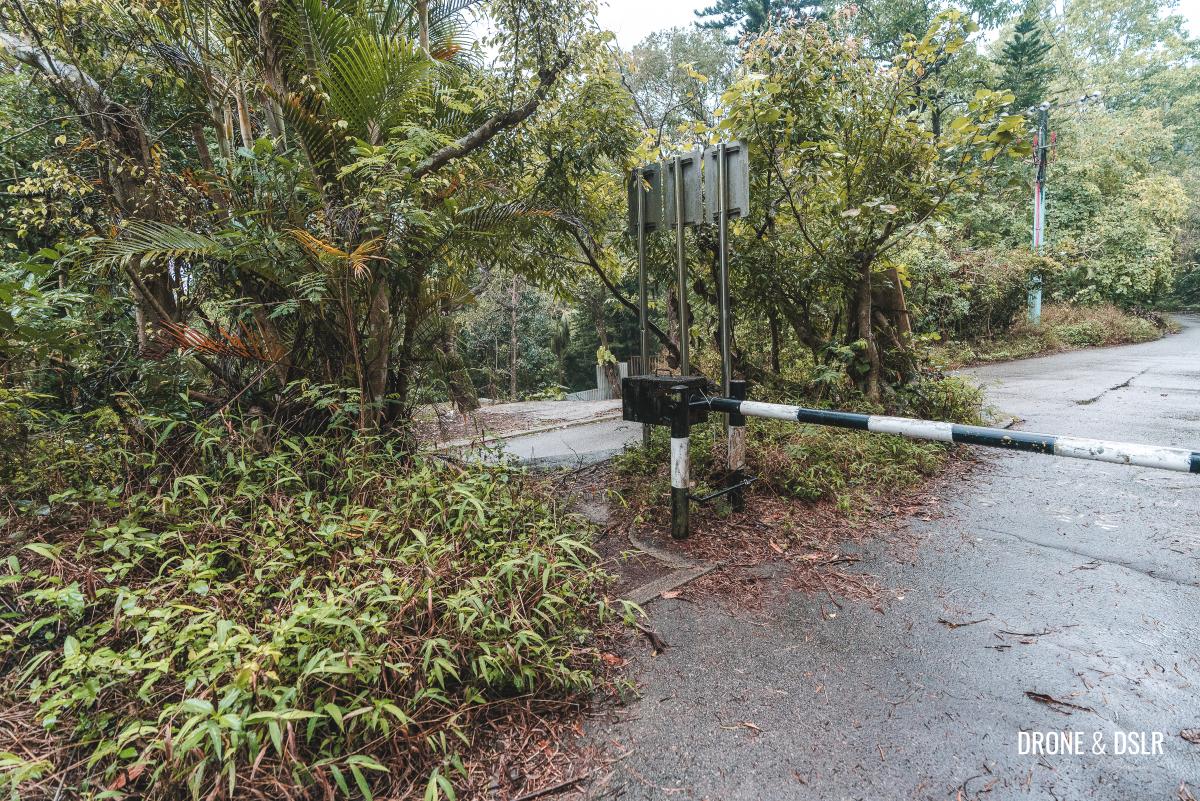
Take the cut next to the boom gate and turn left onto Pak Kong Road
Walk Through Pak Kong Village to Hiram’s Highway
As you step onto Pak Kong Road, start walking downhill.
Walk down Pak Kong Road
About 100 meters ahead, turn right and continue downhill, passing another boom gate.

Turn right here and walk past the second boom gate
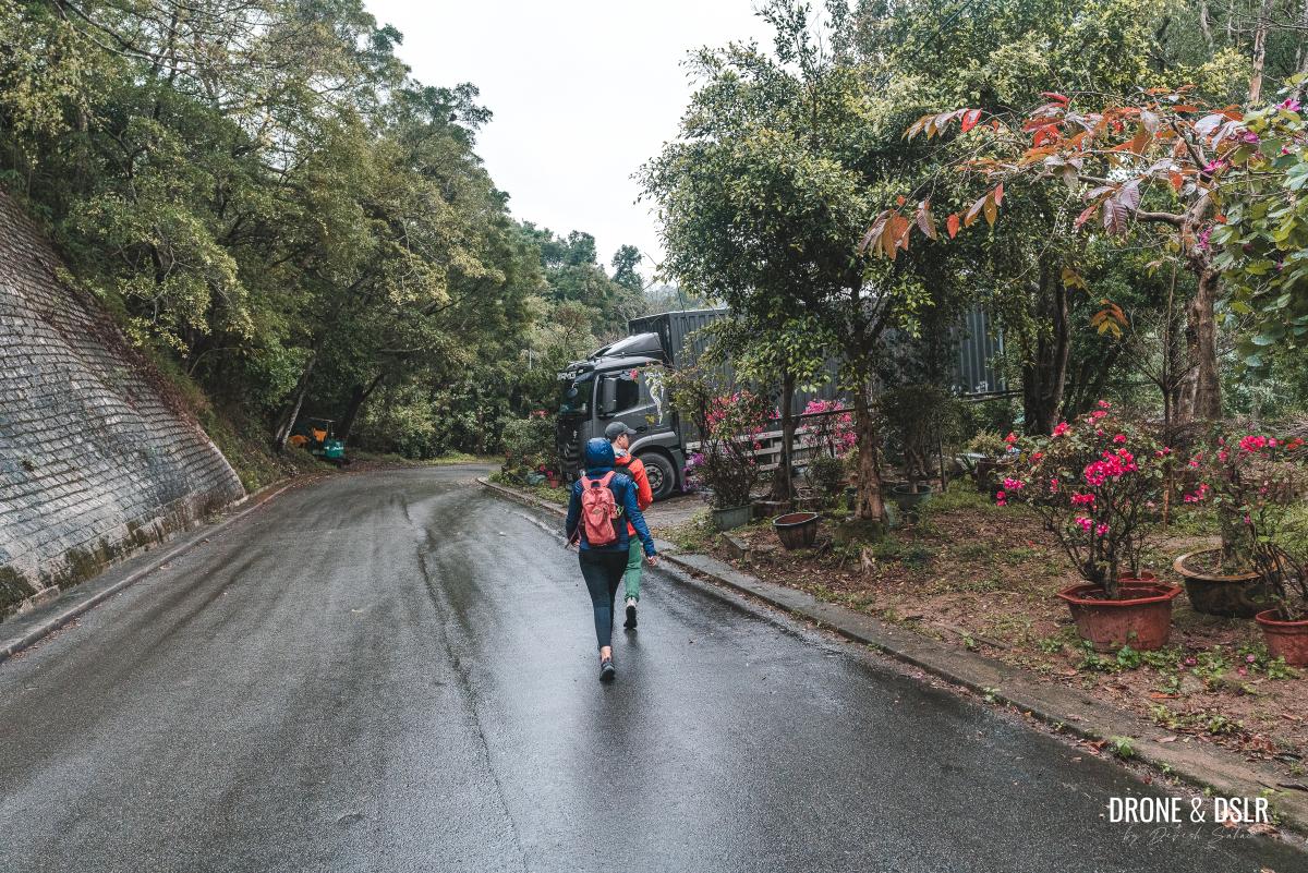
The road curves as it winds its way down, passing a large plant nursery. Although you may not see many vehicles on this road, it’s still important to stay on the sides, as trucks do use this route.
Stay on the side of the road
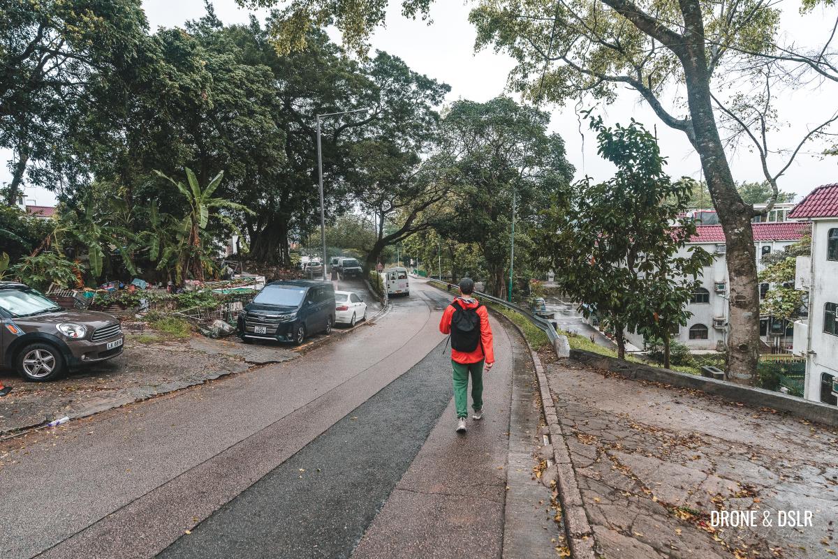
After the nursery, you’ll enter Pak Kong Village, where you’ll see houses and cars lining the road on both sides.
-
- Walk past this nursery
-
- Now entering Pak Kong Village

-
- Keep walking down, past all the houses
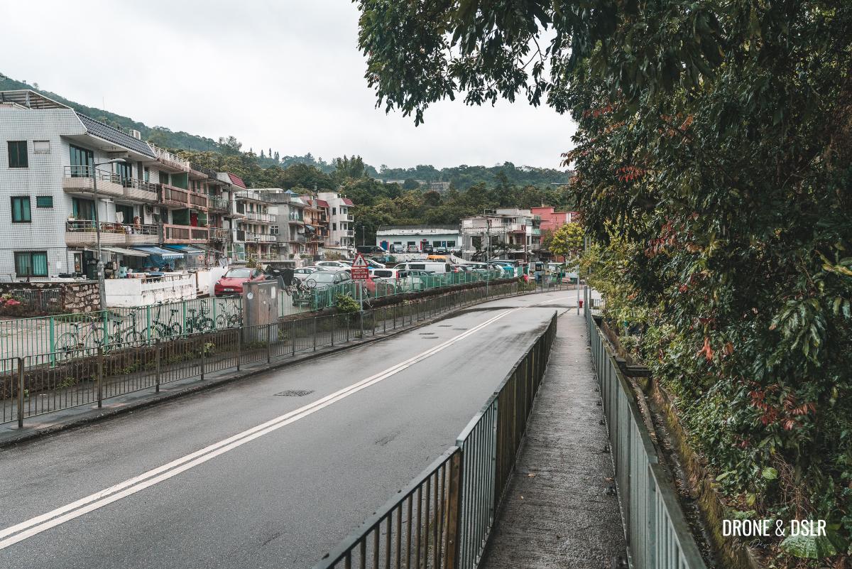
Continue walking downhill until the road levels out, near the water treatment plant.
-
- Stay on Pak Kong Road
-
- The road flattens as it approaches the highway

Shortly after the water treatment plant, you’ll arrive at the intersection of Pak Kong Road and Hiram’s Highway (at the Pak Kong bus stop on Hiram’s Highway), marking the end of this enjoyable hike.
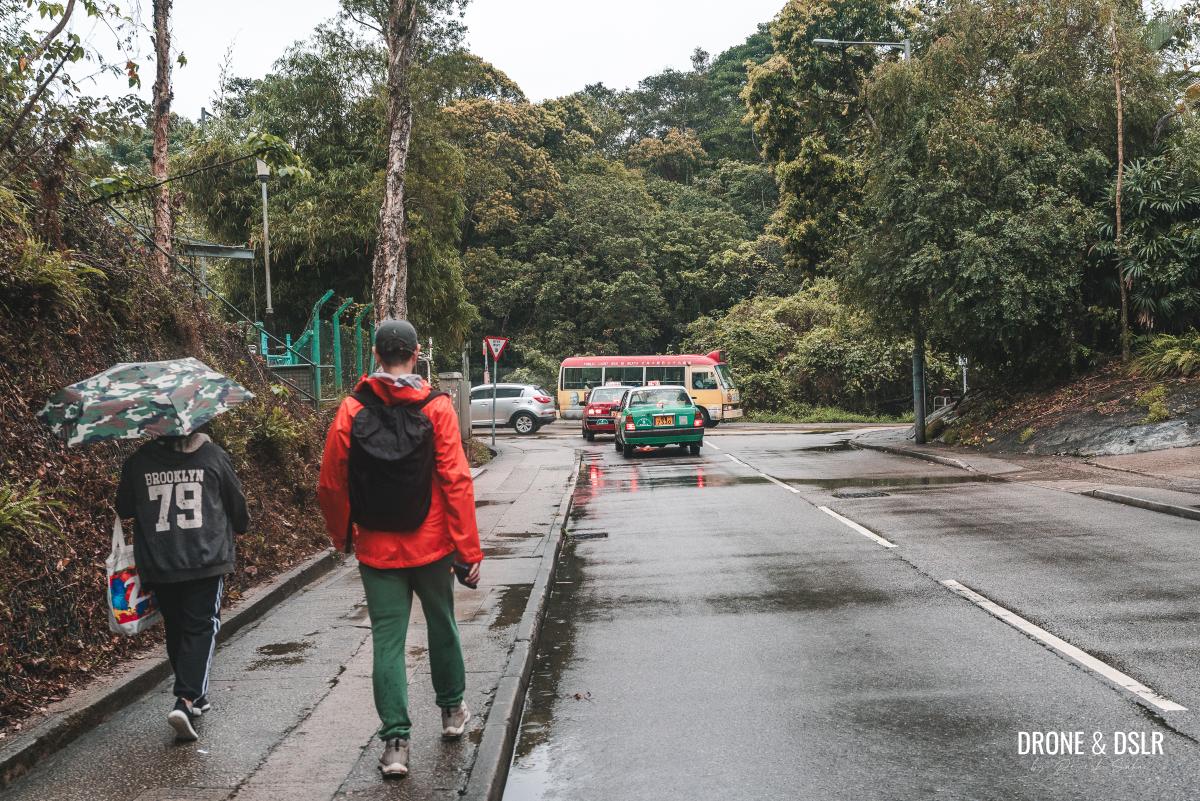
Hiram’s Highway, the end of this wonderful ancient trail
Taxis are easily available here, as are buses to Sai Kung, Po Lam, Diamond Hill, and Tsueng Kwan O.
The Ancient Trail from Tai Shui Hang to Pak Kong
We hope you found our guide to the Mau Ping Ancient Trail helpful and informative. If you use this guide to complete the trail, we’d love to hear about your experience in the comments below.
If you enjoyed this hike, you may also want to consider exploring the Ma On Shan Country Trail, which runs parallel to the Mau Ping Ancient Trail and features other historically significant sites. Additionally, the Penis Rock Hike is another great option that starts from the same location. And of course, you can always discover more ancient trails in Hong Kong.
Feel free to share this post on your preferred social media platform and leave us a comment below. Your feedback is invaluable in helping us improve our guides and provide more valuable information for future hikers.
If you enjoy our work, come join us on Instagram and YouTube 🙂


You might also like


2 Comments
Did this walk today and thoroughly enjoyed it. Thank you for the very clear directions.
Our pleasure, Irene!