
Not all hikes in Hong Kong are about conquering peaks, and the Pak Ma Tsui Hike is a perfect example.
Located on the same peninsula as Trio Beach, Pak Ma Tsui (Cantonese for ‘White Horse Point’) is the southern tip of the Pak Sha Wan Peninsula in Sai Kung. The trail leads you to the very edge of the headland, offering incredible views of Port Shelter, and the sound of waves crashing against the rocky coast. Its relative seclusion makes it a great choice for those seeking an easy coastal walk with hardly another person in sight.
-

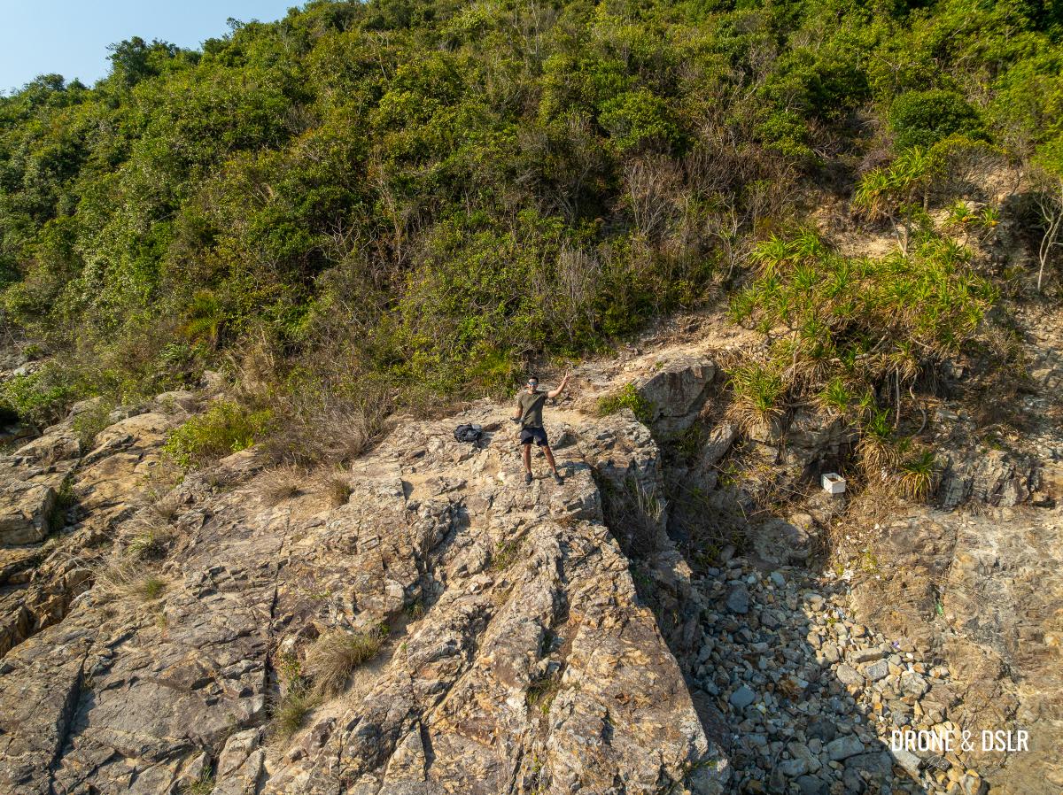
- Standing at the edge of Pak Ma Tsui
-
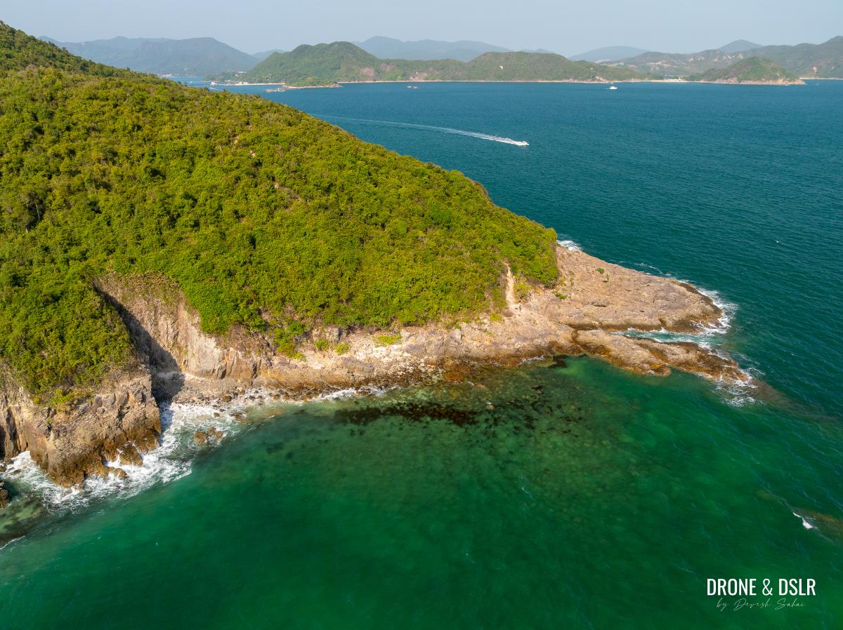
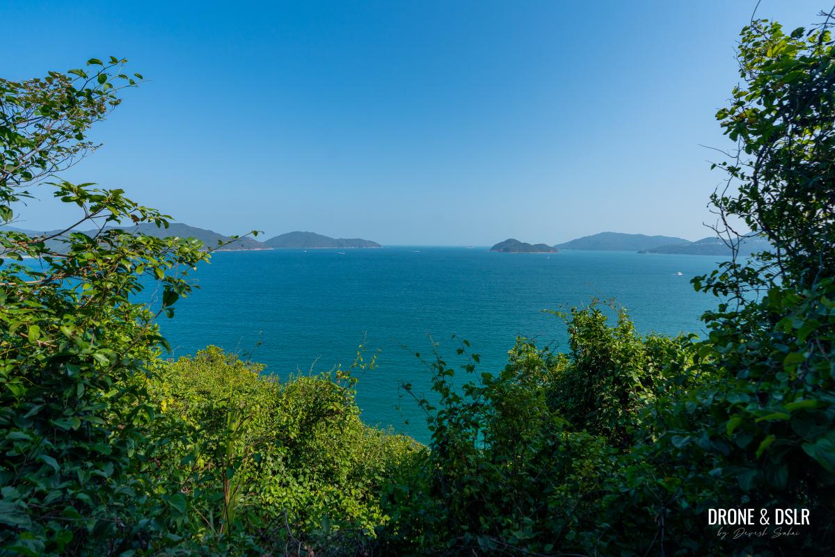
- Pak Ma Tsui and the Tai Ngam Hau side of the peninsula
So, if you’re looking for a peaceful journey to the water’s edge, read on.
About The Pak Ma Tsui Hike
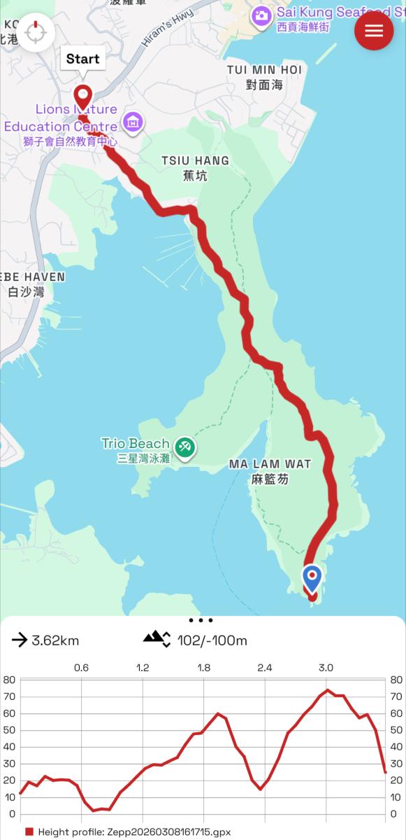
Pak Ma Tsui Hike Trail Map
The hike to Pak Ma Tsui is mostly easy, though the terrain varies along the way. While most of the trail is shaded and without any views, the final section of it runs along the coast, making it quite scenic.
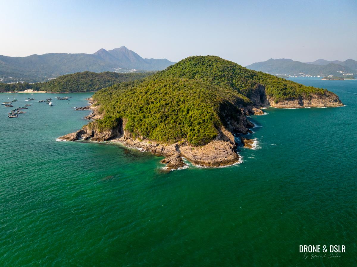
Side profile of Pak Ma Tsui, with Sharp Island in the background
Although I must admit, I thought it was going to be mostly flat or undulating, I did not expect any climbing at all. But there is some climbing, the trail does reach an elevation of about 75 meters. It is a manageable ascent/descent that manages to be both simple and slightly demanding in parts (you’ll see as you read on).
And then of course, the highlight is the finish at Pak Ma Tsui. A peaceful spot to enjoy the views, the breeze, and the sound of the waves.
Starting Point
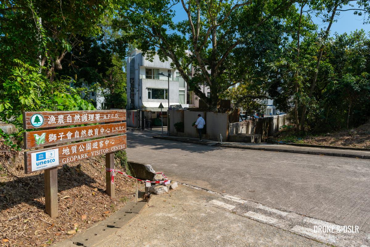
The easiest access to the Pak Ma Tsui is from the Tsiu Hang Hau village. The easiest way to reach the village is via a walk from the Pak Hong bus stop on Hiram’s Highway. Most buses heading to Sai Kung on Hiram’s Highway stop at Pak Kong.
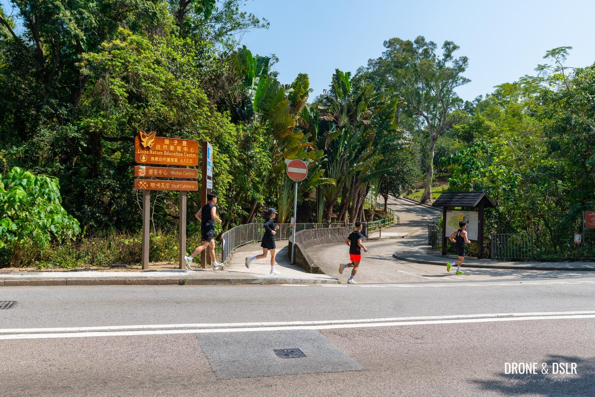
Look for the entrance to the Lions Nature Education Centre, opposite Pak Hong bus stop on Hiram’s Highway
1 km Walk To Tsiu Hang Hau
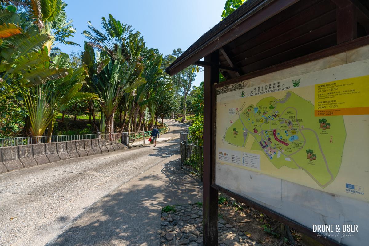
Once you alight at the bus stop, carefully cross the road to reach the entrance for the Lions Nature Education Centre. Walk up the road towards past the manicured gardens on either side till you reach a public toilet.
-
- Cross the road and enter the Lions Nature Education Centre
-
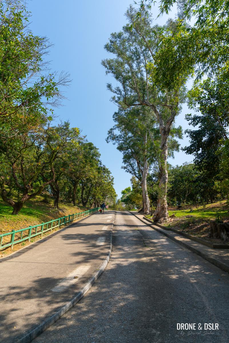
- Walked along this beautiful driveway
-
- The trees are beautiful during the flowering season on this path
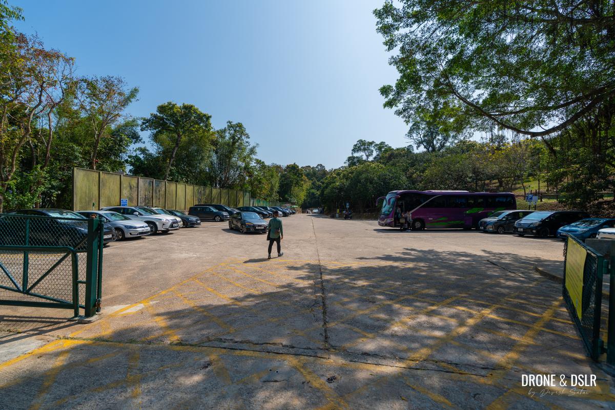
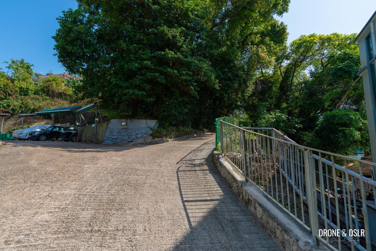
Just after the public toilet, there is a large car park on the right. Walk through the car park to reach the parallel Che Keng Tuk Road. (Note: I only realized this on my return, if you don’t turn right into the car park, continue walking a short distance ahead, there is an entrance to a trail on the right. This trail is actually a shorter route on to Che Keng Tuk Road.)
-
- Turn right into the car park, after the toilet
-
- Exit the car park on the opposite side, and turn left onto Che Keng Tuk Road
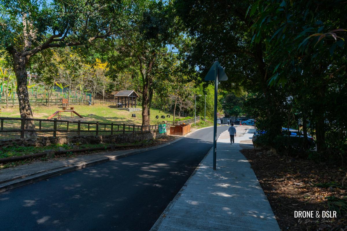
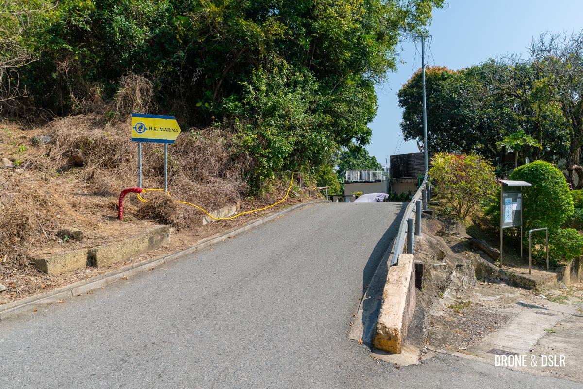
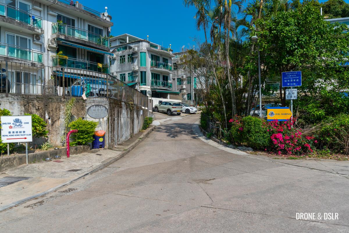
Once on Che Keng Tuk Road (if you came via the car park), turn left and keep walking past the houses. Up ahead, cross the park on the left, and then take the fork on the right (towards HK Marina).
-
- Follow this path past the houses and the parks
-
- At the first fork, turn right to follow the signs for HK Marina
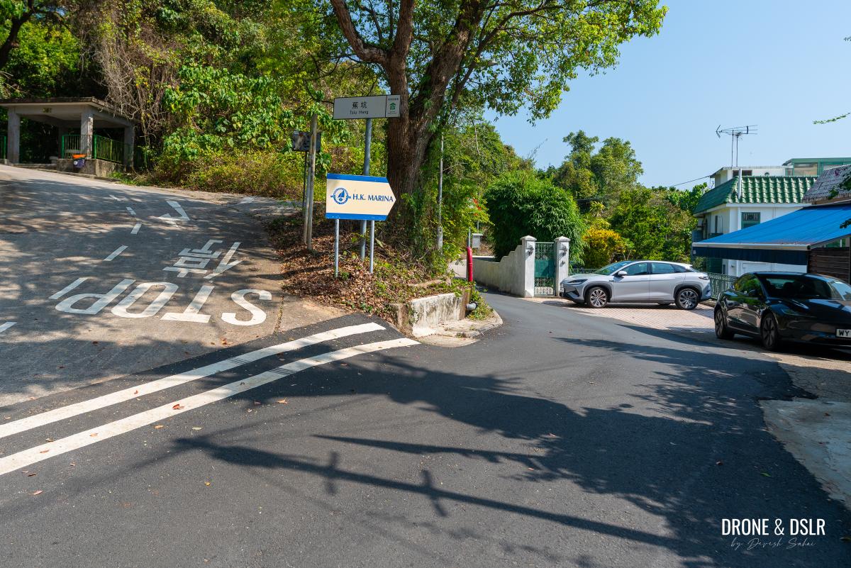
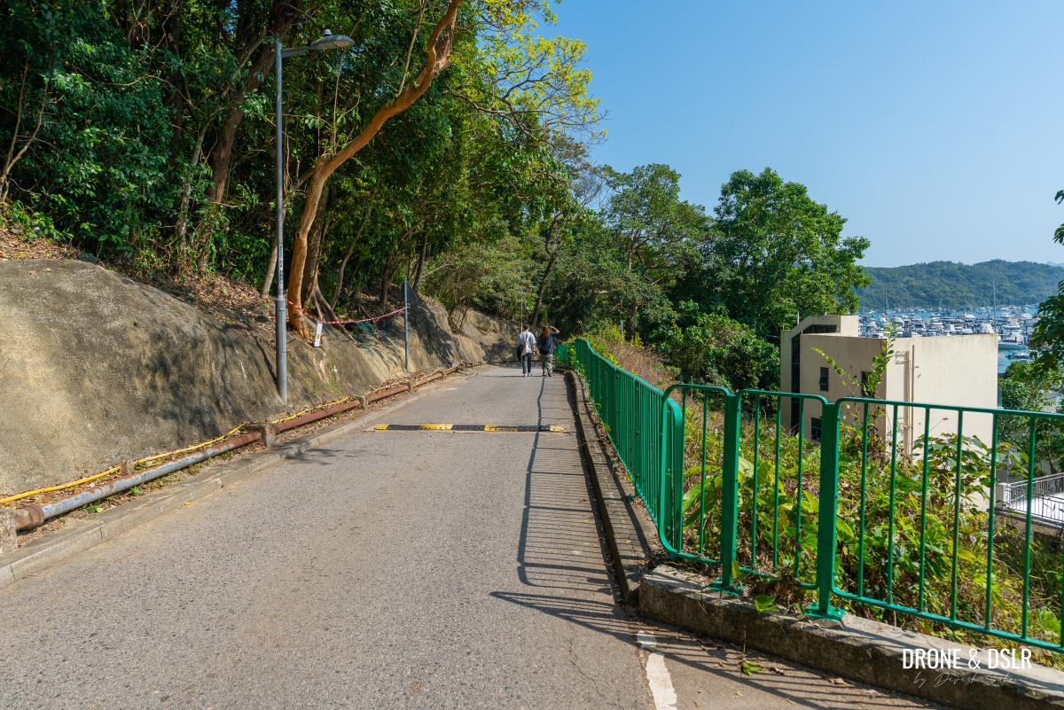
Keep walking till the road forks again, but this time, stay to the left and keep following the signs for HK Marina. After this point, Che Keng Tuk Road gently declines towards the next row of beautiful houses.
-
- At the second fork, turn left and continue following the signs for HK Marina
-
- Walk down this road, from where you can see the marina in the distance
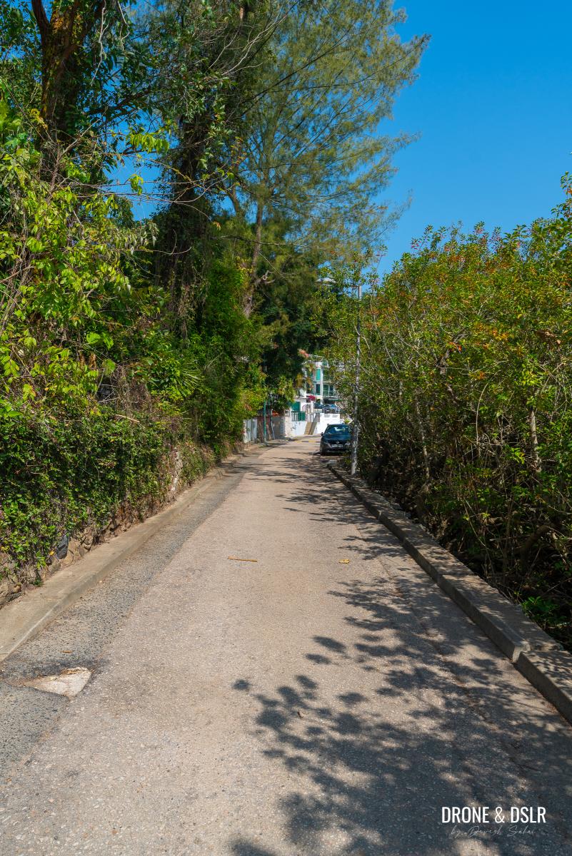
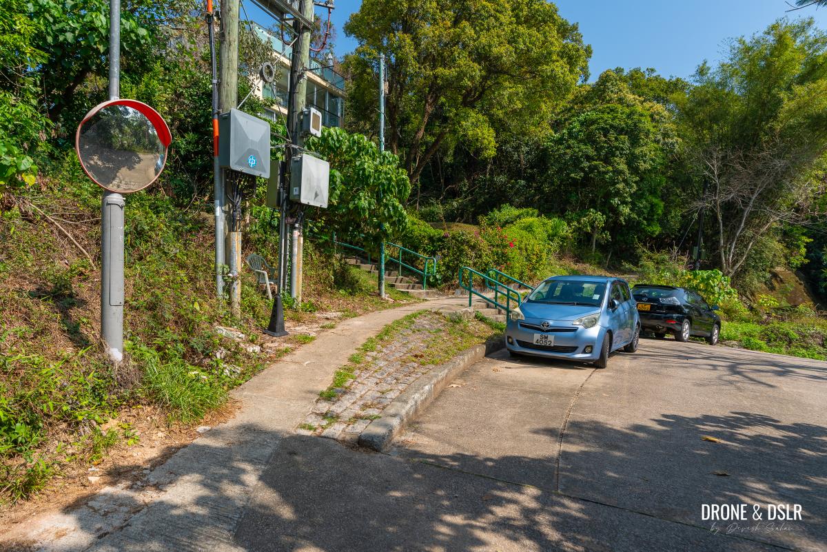
Keep walking straight, as the road narrows, till you reach another fork in the road next to cluster of houses, which is Tsiu Hang Hau village. At this point, stop following the signs for HK Marina, instead take the left fork uphill, and then turn right.
-
- The road narrows after is descends
-
- Once you reach Tsiu Hang Hau, STOP following the signs for HK Marina. Instead, walk up towards the houses
-
- Turn right as you walk up the slop
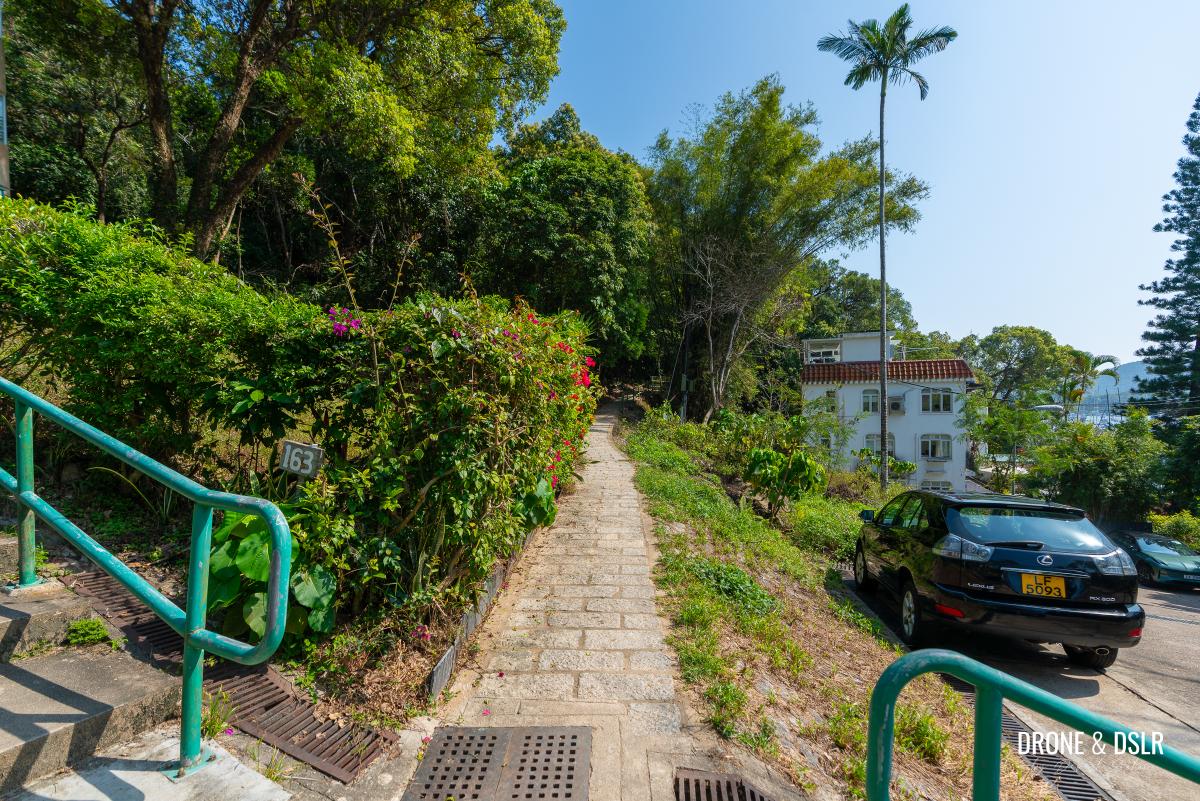
A few metres ahead you’ll notice this is where Che Keng Tuk Road comes to an end. But you need to step onto the path on the left, walk past house number 163. This is the path that leads you beyond the village.
-
- Take the path on the left
-
- This is the starting point of the trail, from in front of house number 163
The Trail Begins
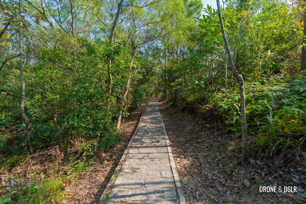
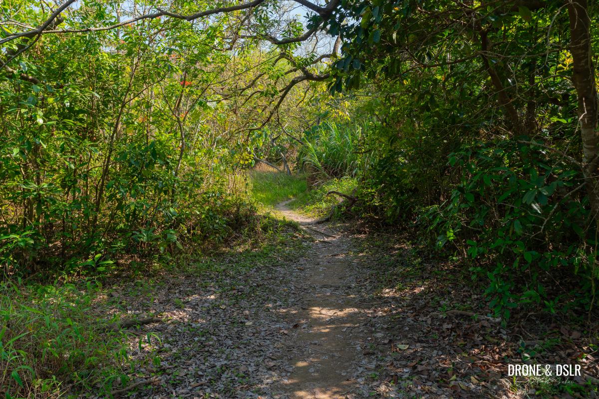
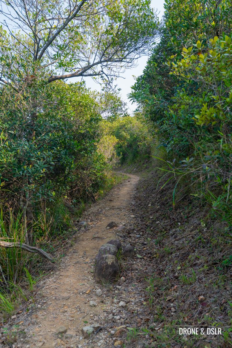
The initial section of the hike is extremely easy.
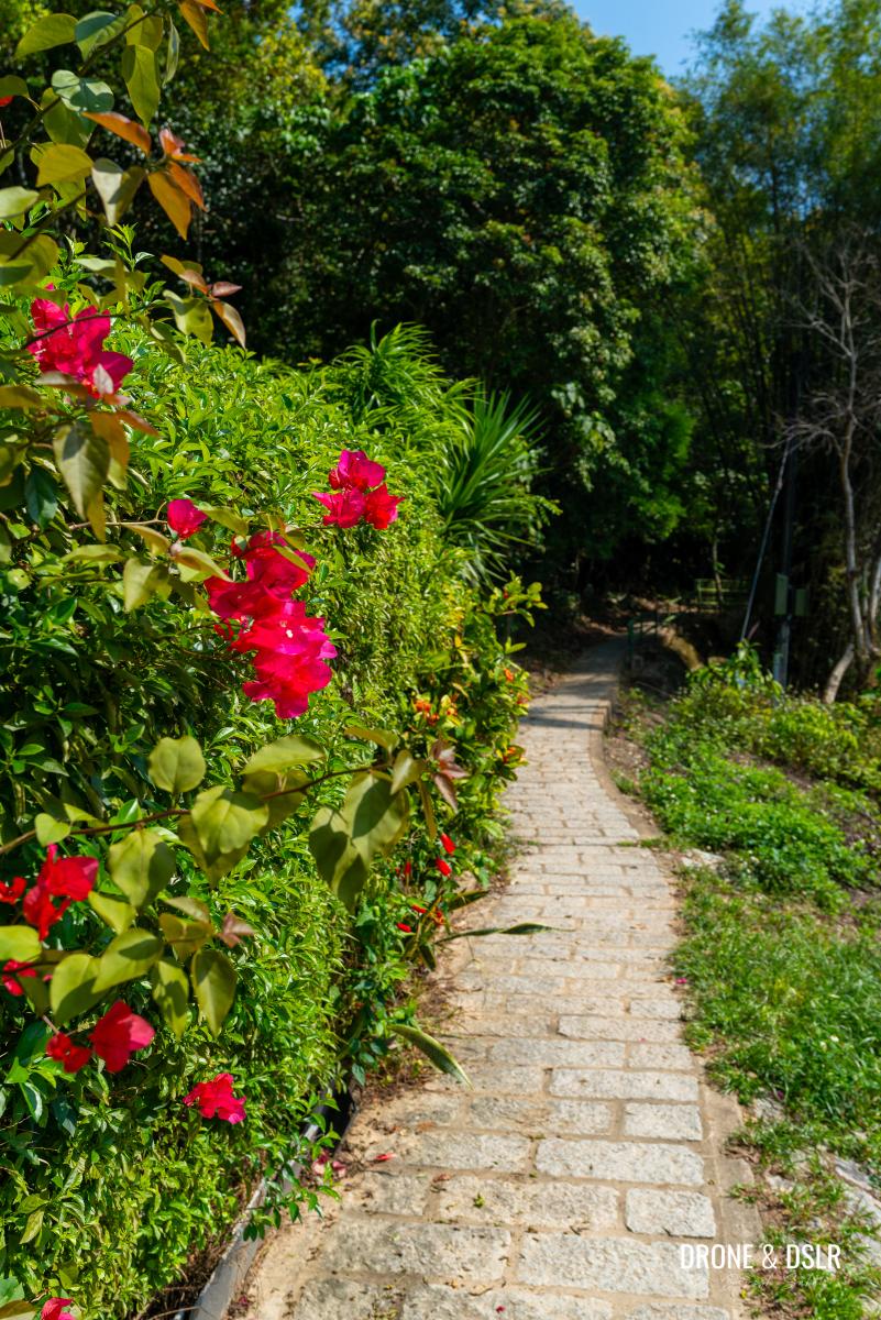
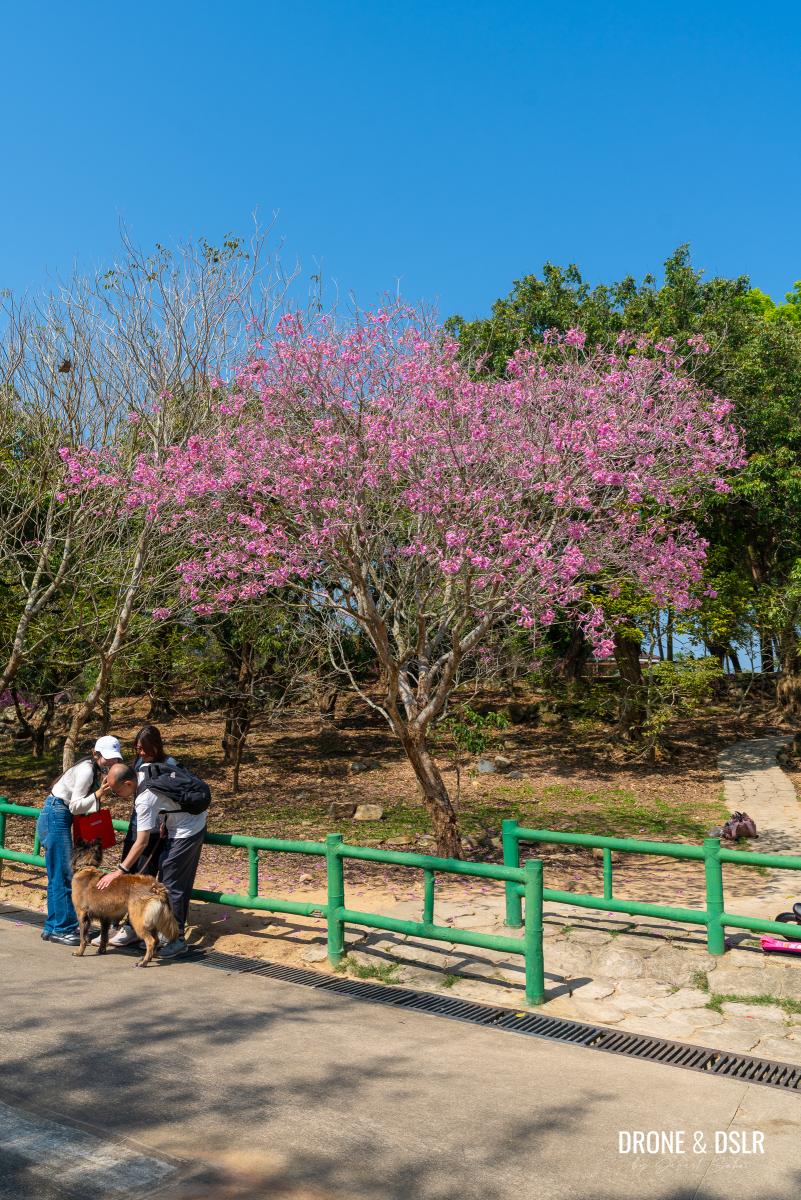
Don’t forget to admire the flowers before you begin the hike
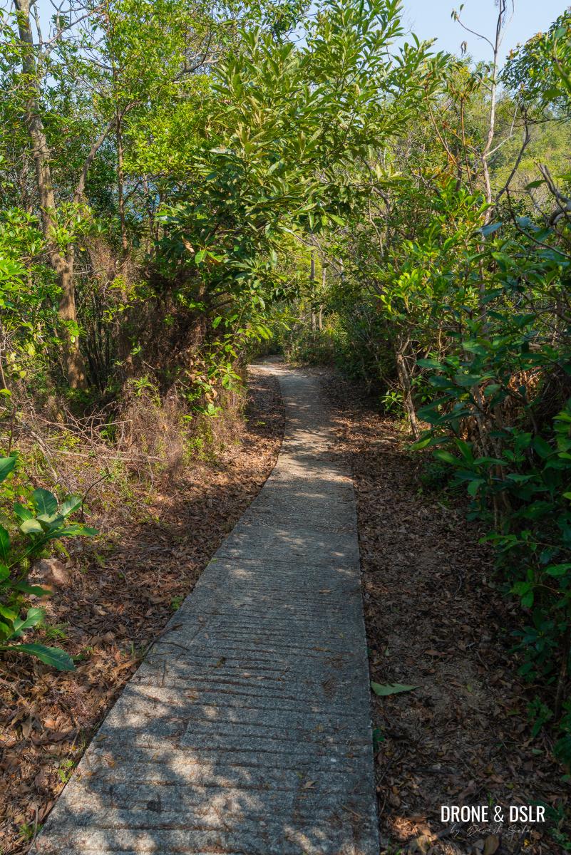
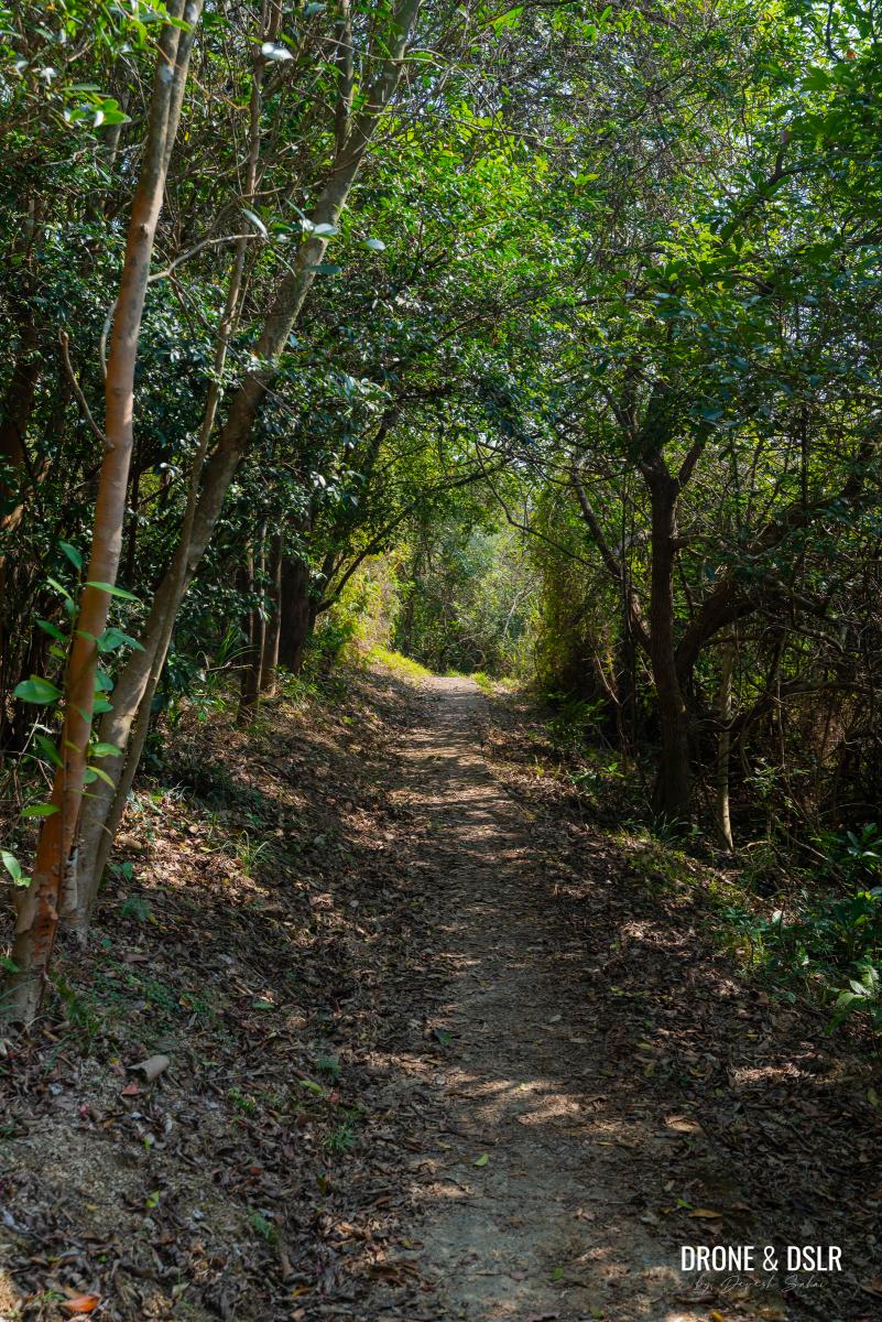
The trail is paved and shaded, with the tree canopy providing plenty of relief even on hot days, a welcome change from the unshaded road leading to this point.
-
- The trail starts off easy
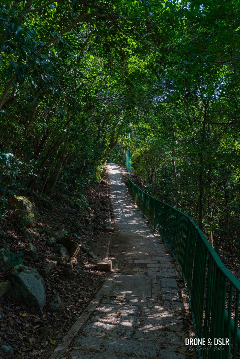
-
- The trail is undulating and easy
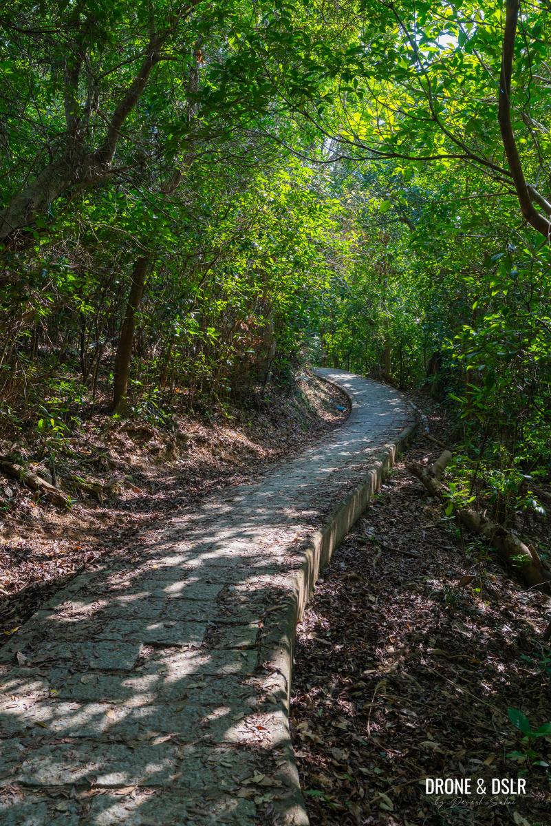
In terms of incline, the path is gently undulating but feels relatively flat. Continue for approximately 550 metres until your path merges with another trail on the left coming from a different village on the Pak Sha Wan Peninsula.
-
- Thankfully it’s all shaded
-
- Keep walking along the trail
-
- The point where the trail you’re on, meets another trail from a different village
To The Turn For Trio Beach
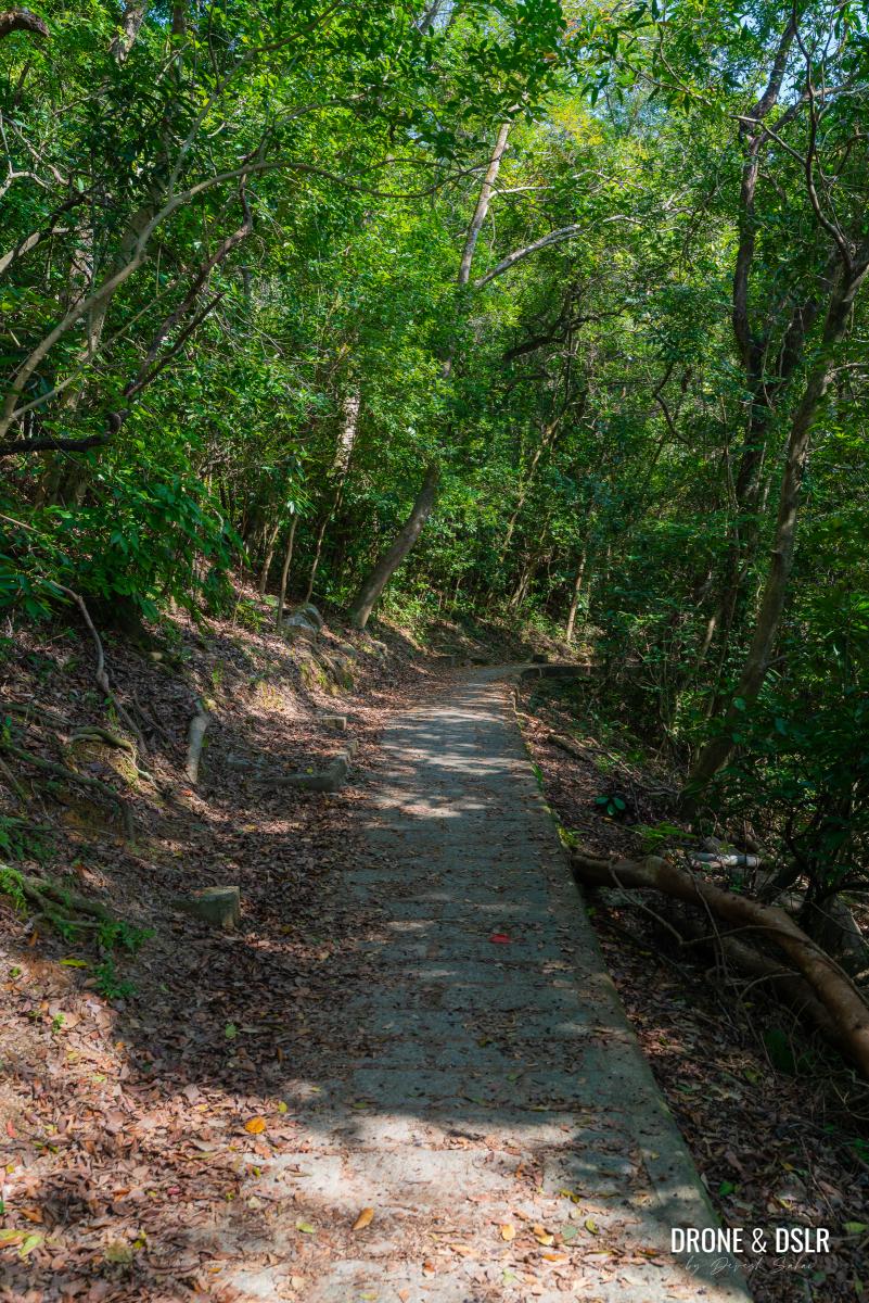
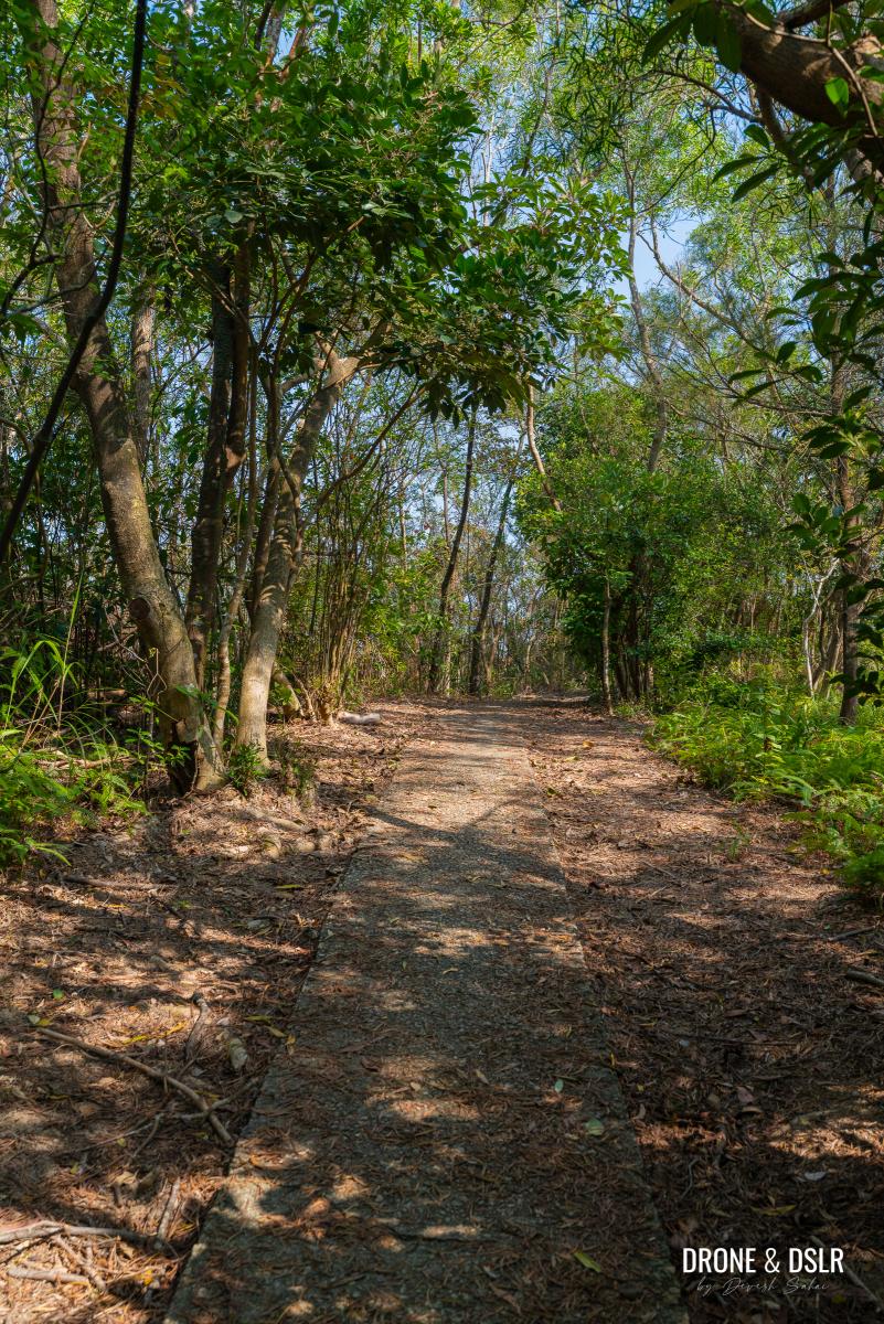
Continue straight along the path, which remains shaded, easy, and gently undulating.
-
- Keep walking on the undulated, shaded trail
-
- Some parts of the trail are just flat and easy
After another 350 metres, you will reach a well-marked fork. While the trail to the right leads to Trio Beach, a small, beautiful, and secluded spot in Sai Kung.

The turn for Trio Beach
For now, you should keep walking straight ahead for this hike.
Towards Tai Ngam Hau
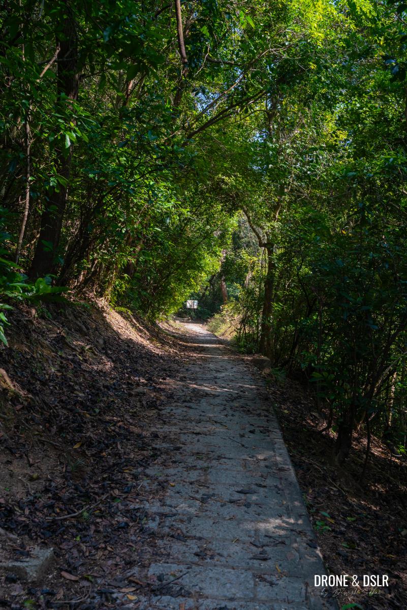
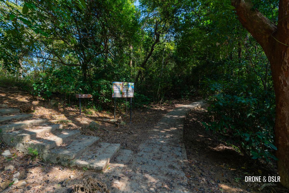
Past the Trio Beach turn, the path remains unchanged as it continues toward Ma Nam Wat village.
As you’re not headed to Trio Beach, follow the trail to Ma Nam Wat
In less than 100 metres, you’ll encounter another split.
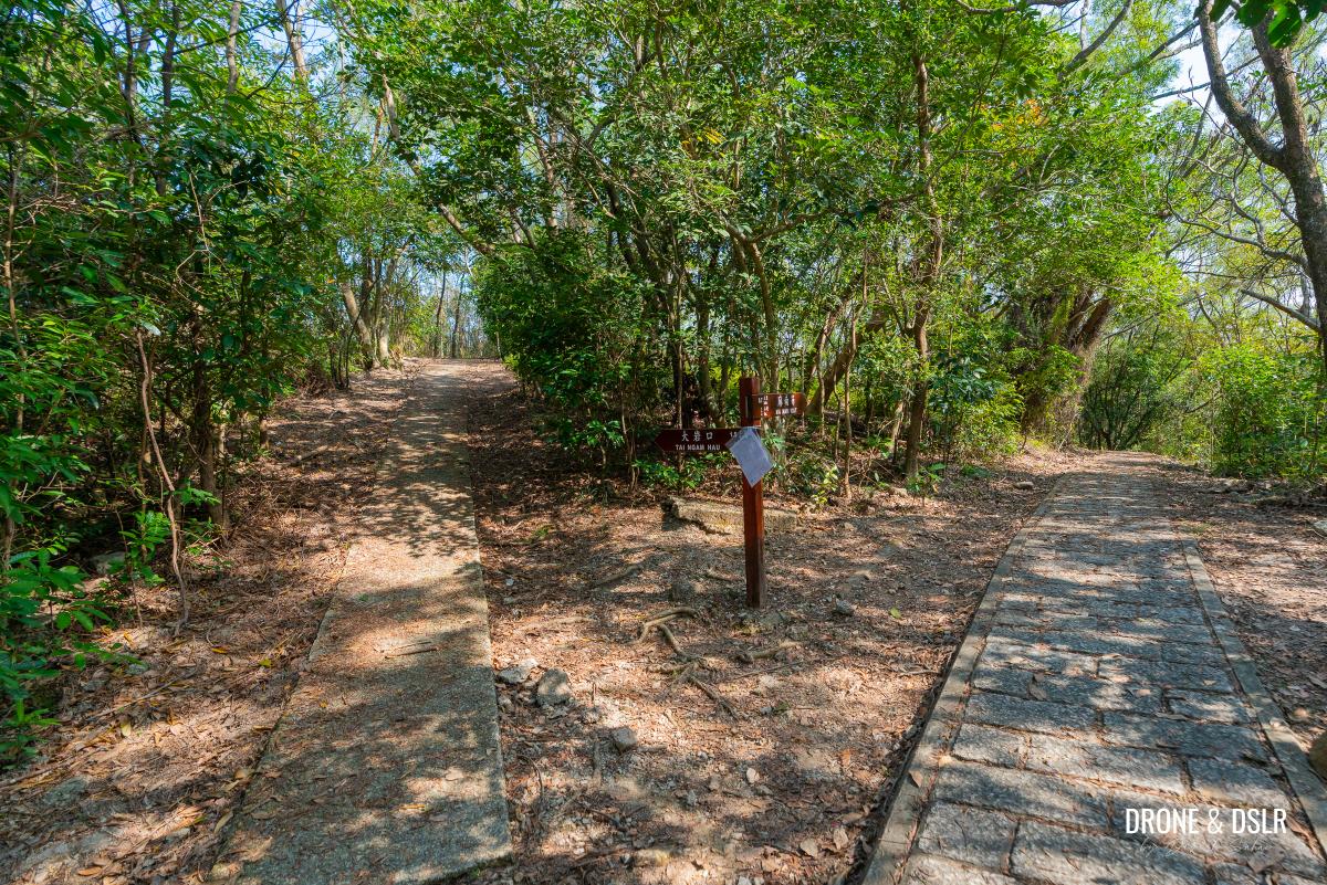
At this point, turn left towards Tai Ngam Hau
While the trail to the right leads down to the village, you should turn left instead, following the signs for Tai Ngam Hau.
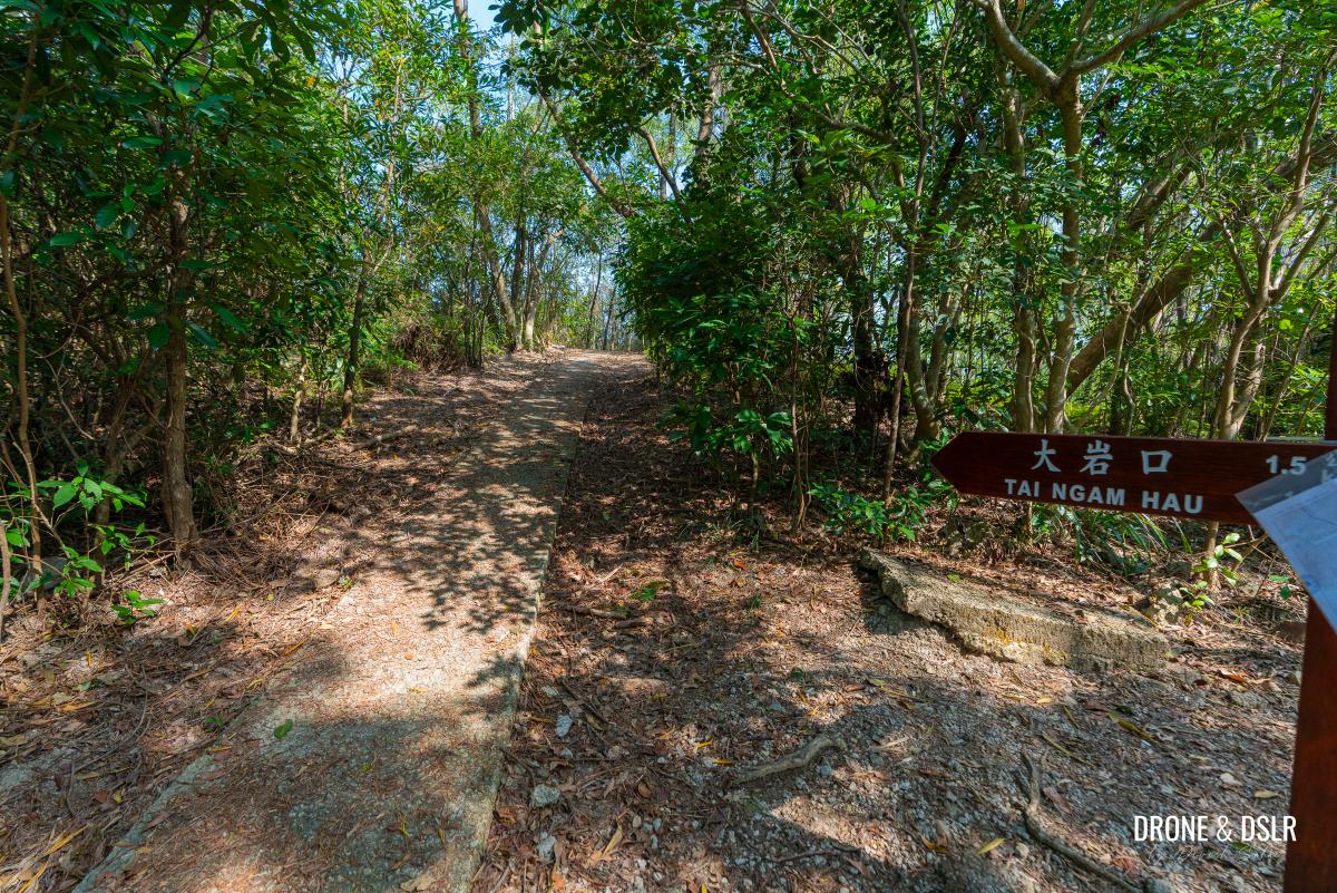
Follow the signs for Tai Ngam Hau
To The End Of The Paved Trail
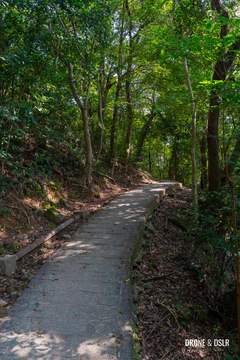
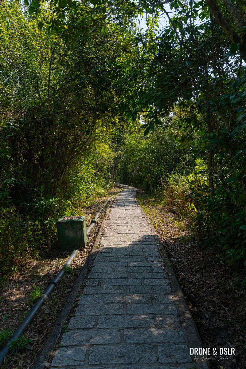
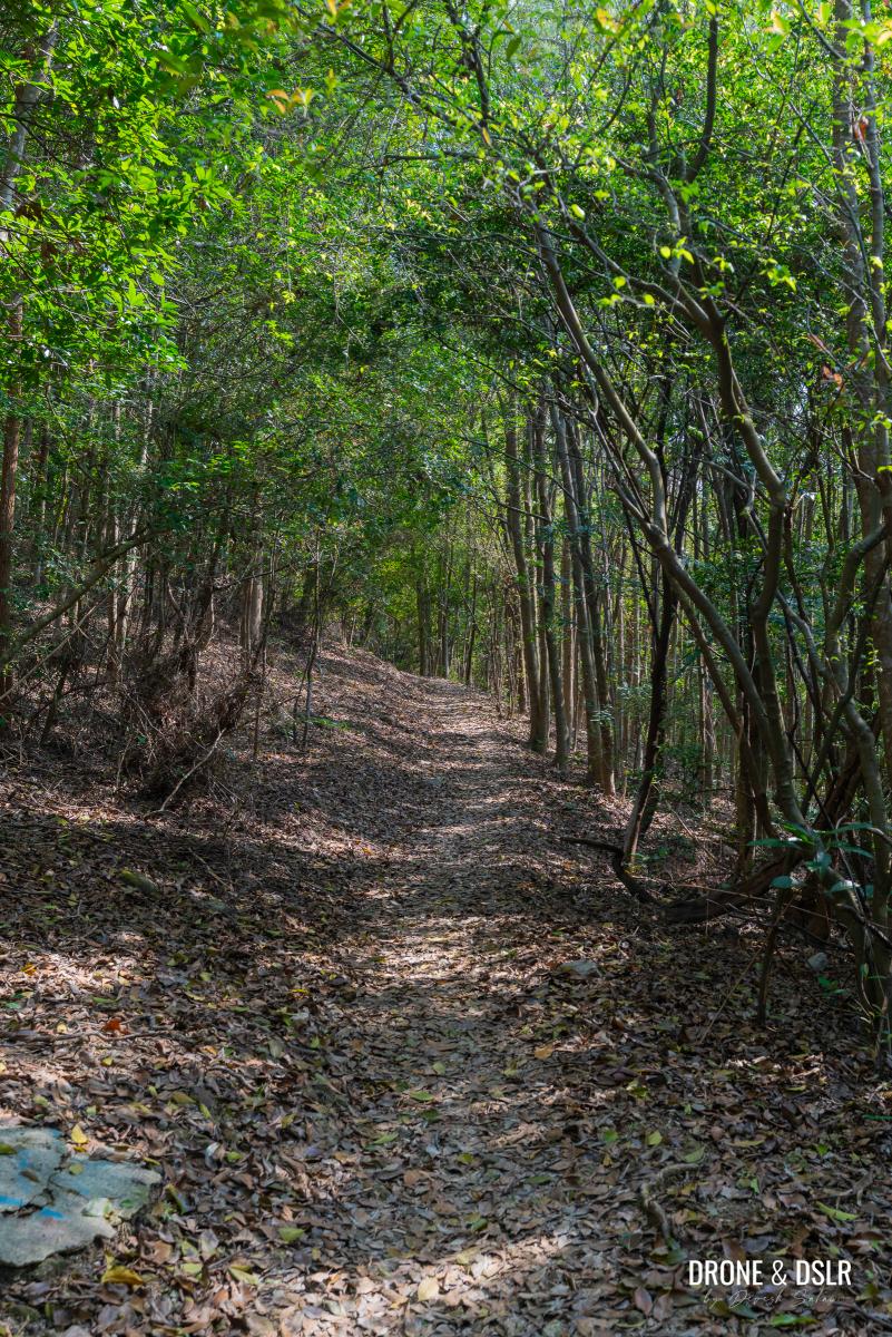
While the trail remains paved, the vibe changes significantly from this point on, as the path leaves the villages and beaches behind.
Notice the pattern of the trail changes
The brick-like paving gives way to plain concrete, and the tree cover thins as you begin a gradual descent. In some sections, the downhill slope becomes quite steep.
-
- The trail heads downhill (some sections are a bit steep)
-
- Keep following the trail as its heads towards Tai Ngam Hau
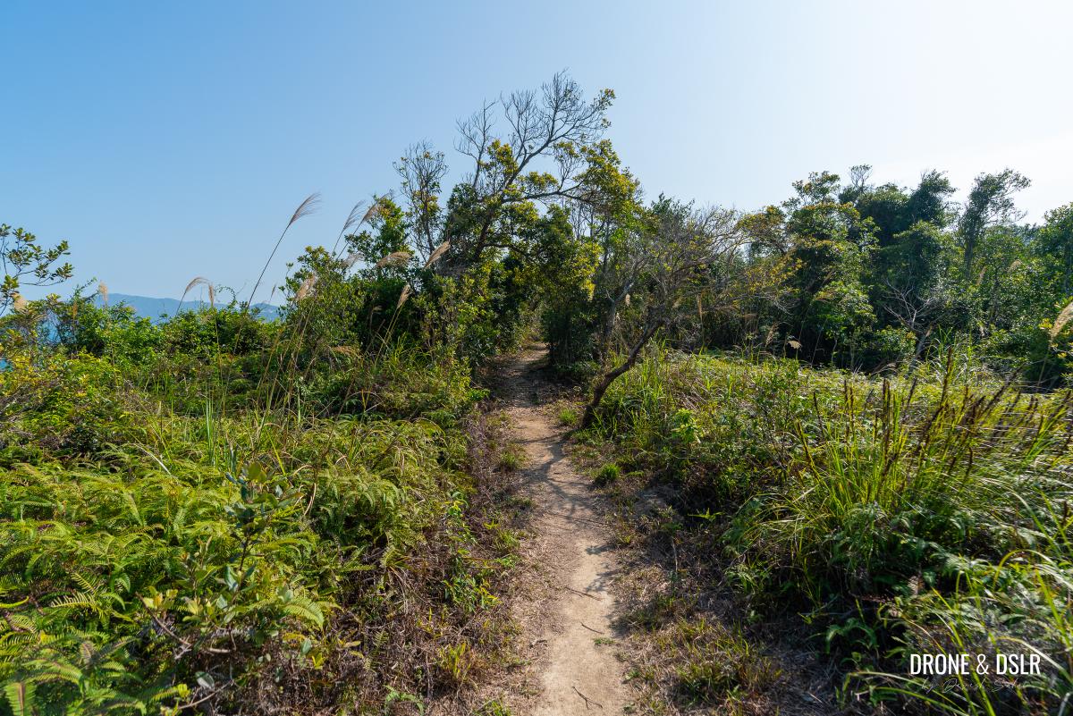
Continue until the trail exits the canopy and the hill ahead comes into view. Fortunately, you only need to climb about halfway up that hill rather than to the summit.
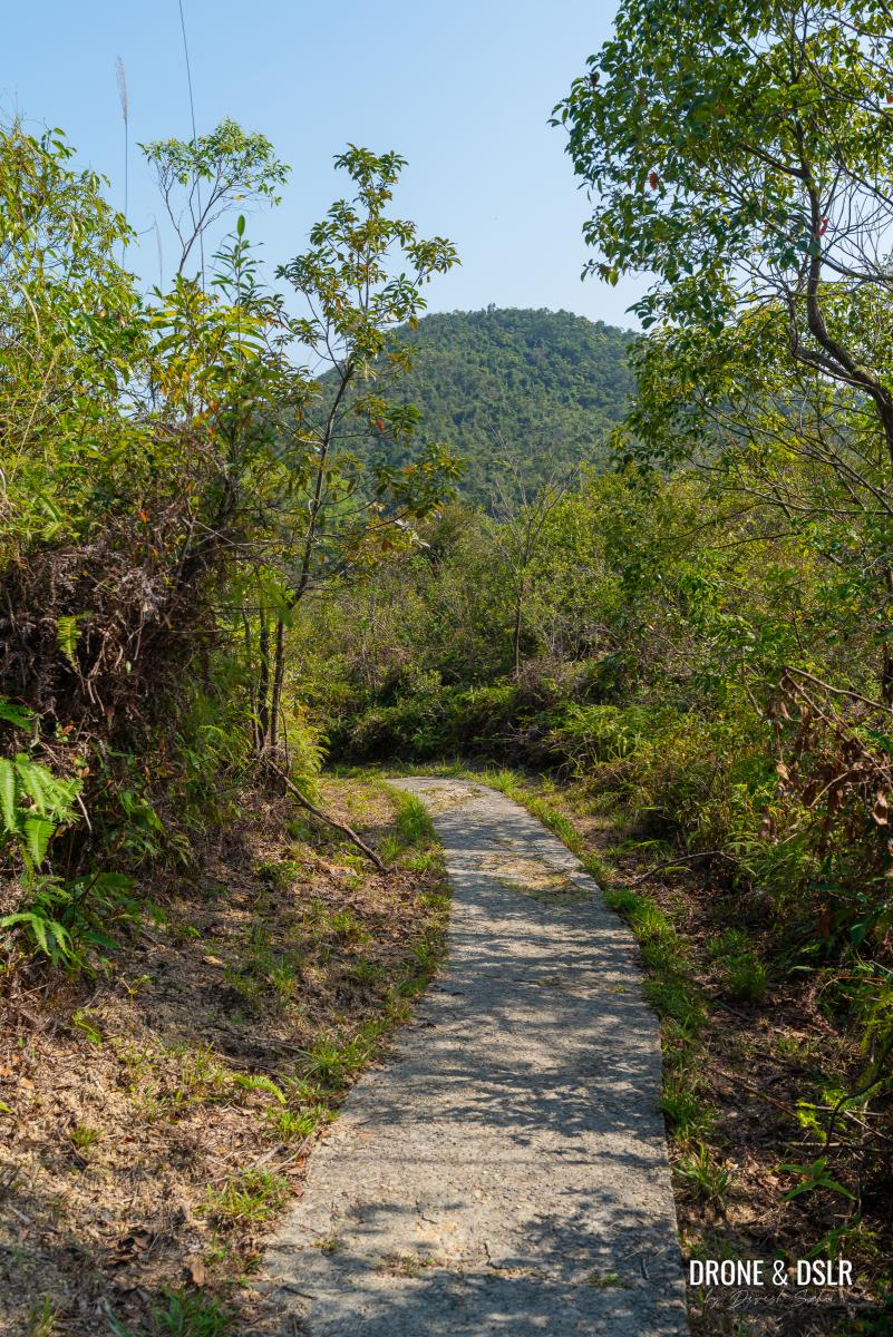
Soon, you’ll notice a hill in front
And shortly after, the trail takes one final quick dip before reaching a flat, open clearing.
A Short Flat Section
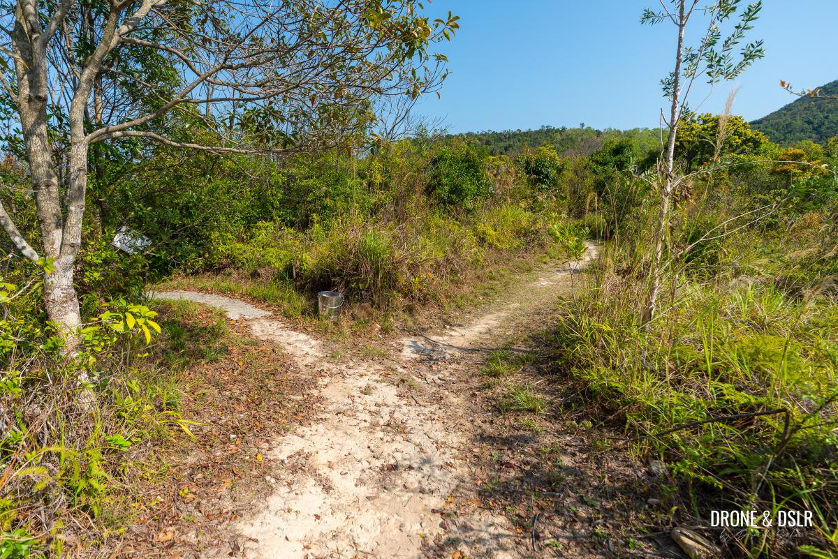
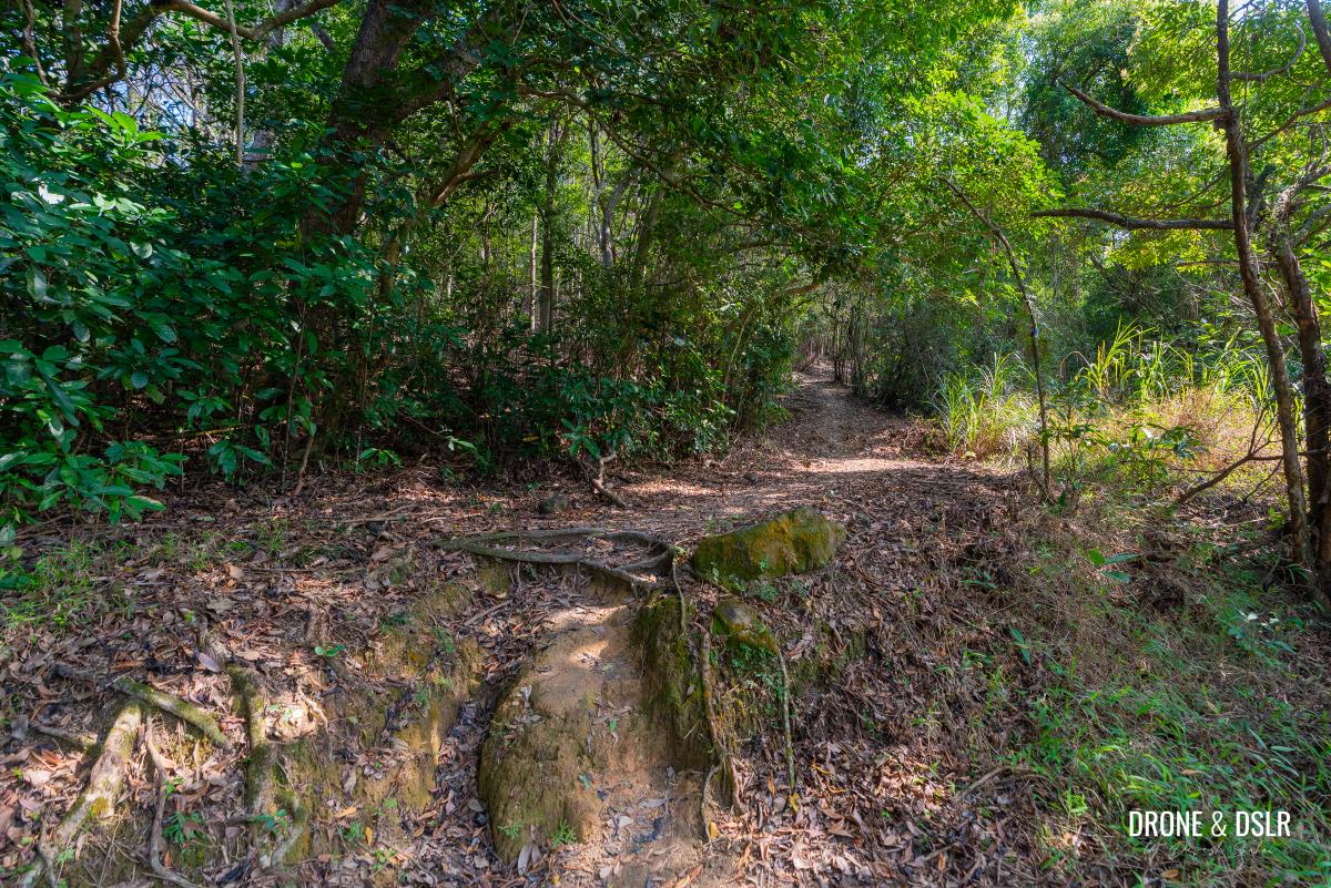
As the paved section of the hike finally ends, you step onto a flat, dirt trail that almost immediately splits in two. At this juncture, stay on the trail to the right, as the one on the left is a dead end.
-
- When the trail finally flattens, take the trail on the right
-
- Follow the flat trail through the bushes
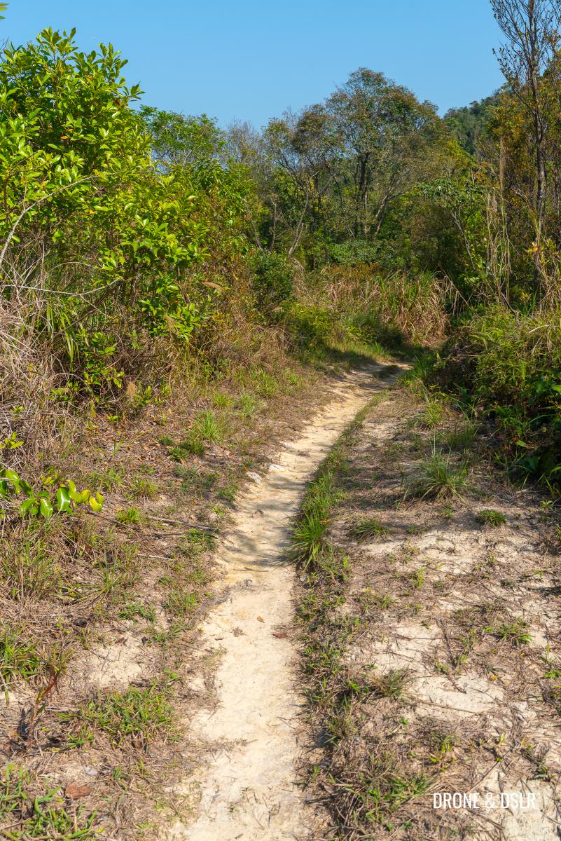
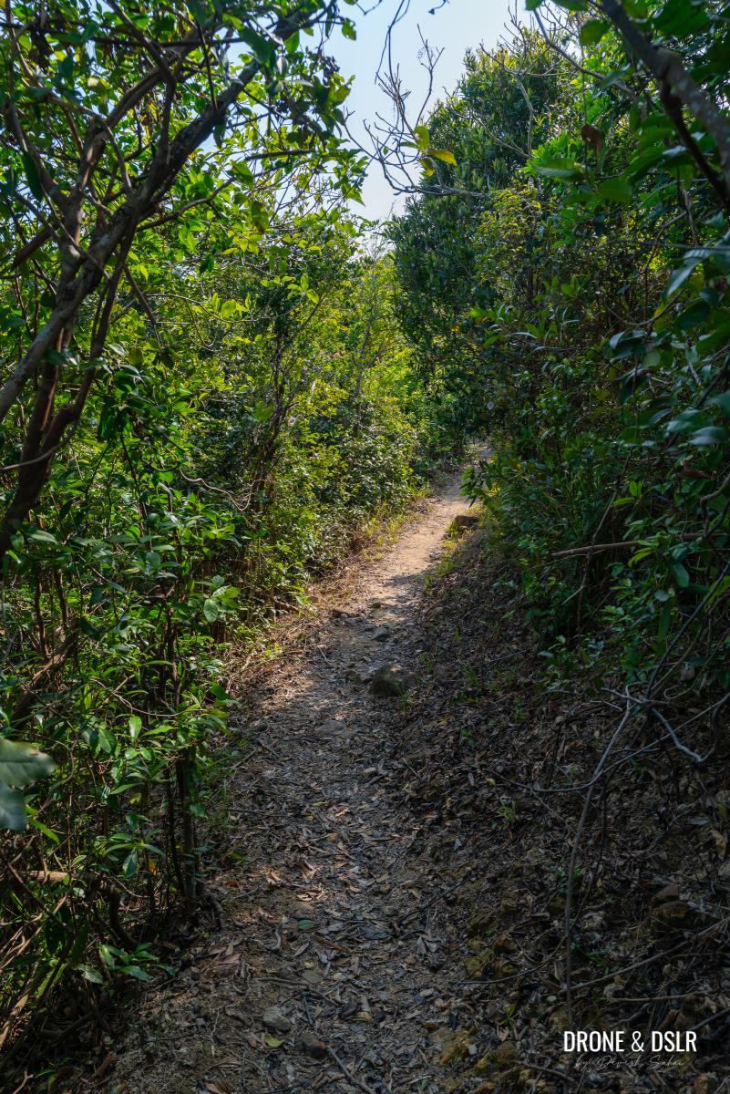
The trail cuts through bushes and thickets before reaching another shaded section. Keep walking till you arrive at a mound, at which point you’ll next to step up, and carry on.
-
- There’s some shade on the flat trail
-
- When you hit this mound, step up and keep going
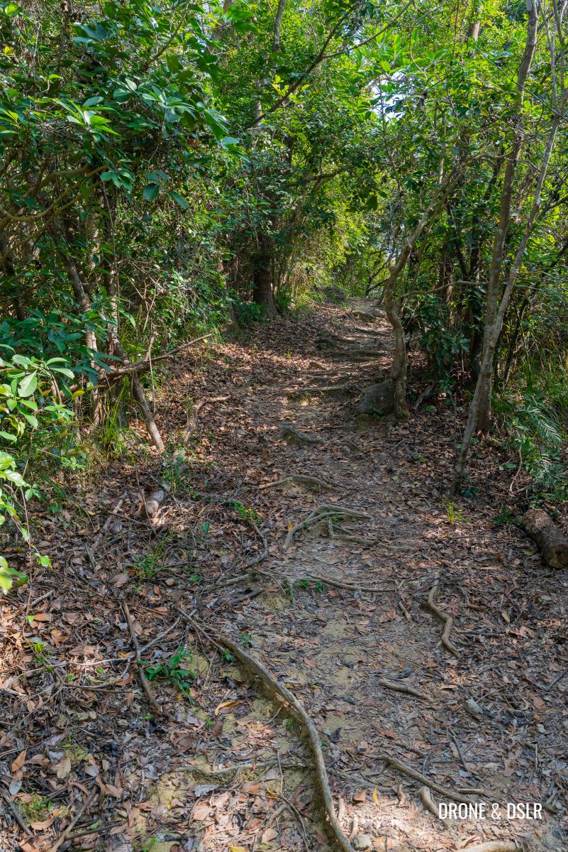
Through The Trees, And Up The Hill
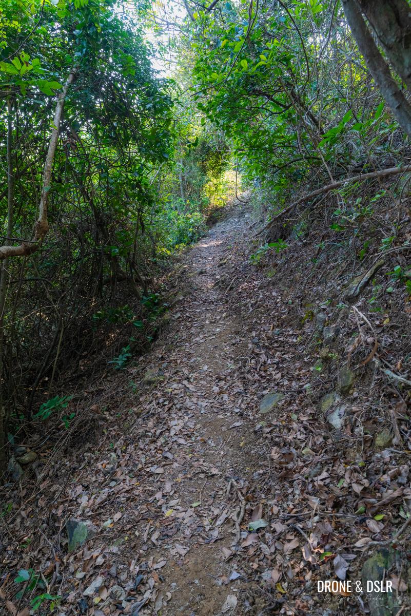
Passing beyond the mound, you enter a serene, shaded stretch under a dense canopy.
The section of the trail between the trees is quite pretty and peaceful
The path soon begins a gradual ascent. While the initial climb under the trees is gentle, the incline steepens as the trail veers to the left.
-
- After you clear the trees, the climb begins again
-
- As the trail turns left, the incline gets steeper
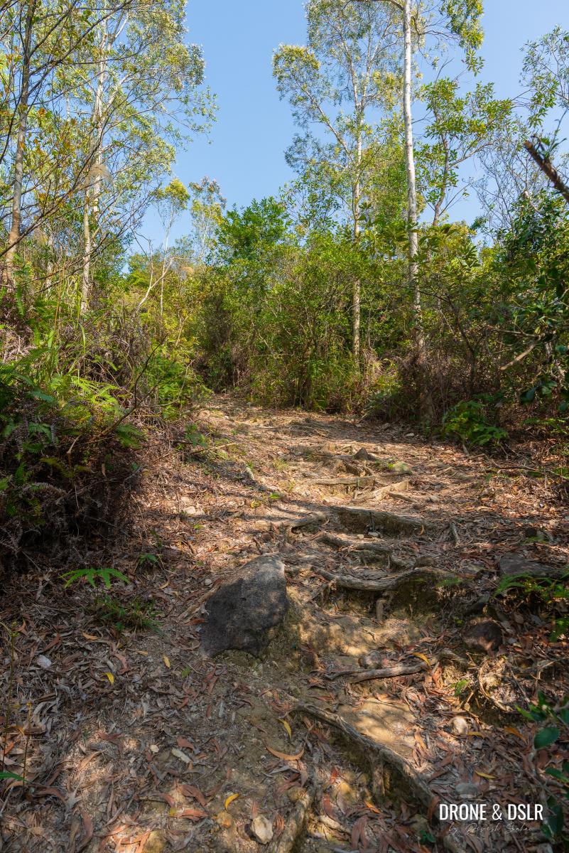
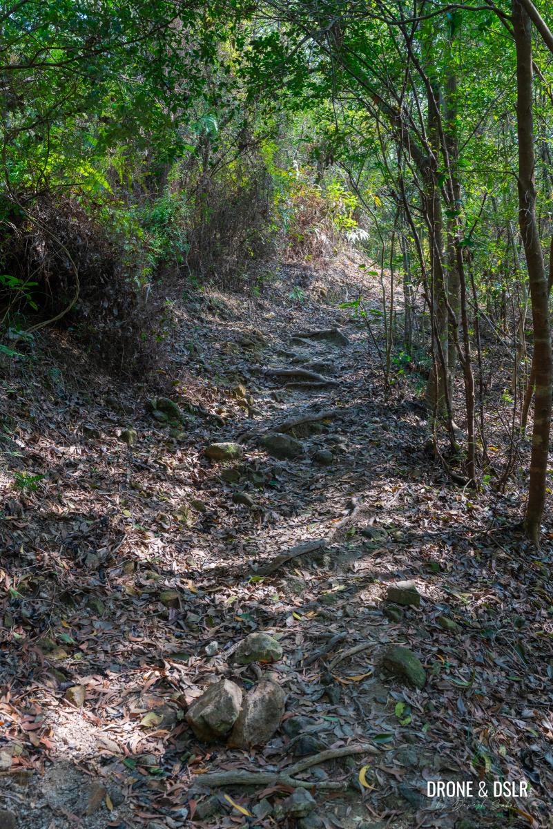
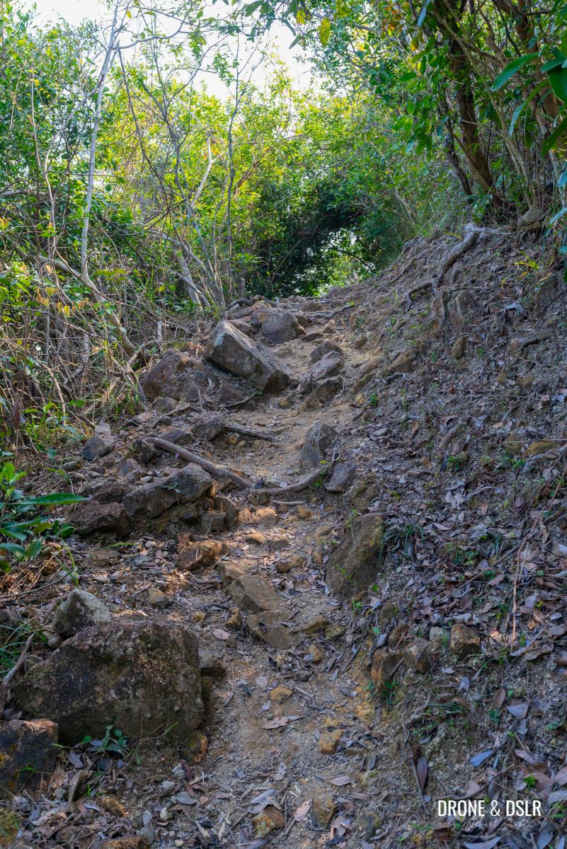
Maintain a steady pace as you continue uphill. A short distance later, the path swings to the right and the terrain suddenly becomes rocky and even steeper.
-
- Climb at a gentle pace, it isn’t all that difficult
-
- As the trail begins to curve right, it gets rockier
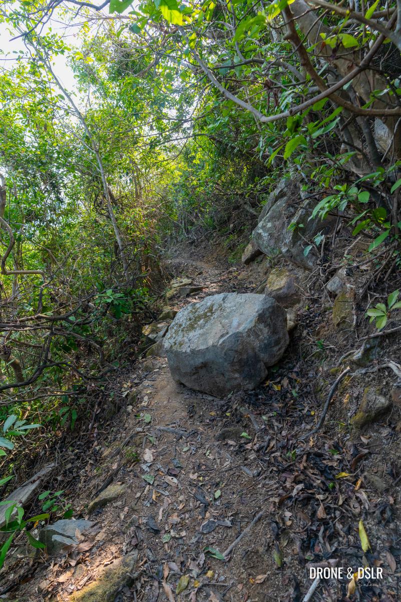
Ascend this section with caution, watching for loose boulders or rocks until the trail finally levels out.
This section of the trail is the trickiest, a slight steep climb on a terrain full of loose rocks
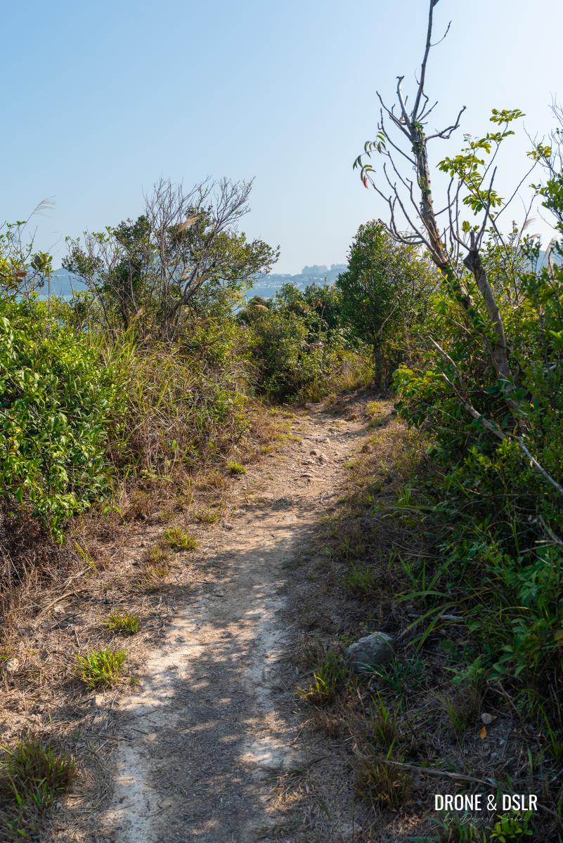
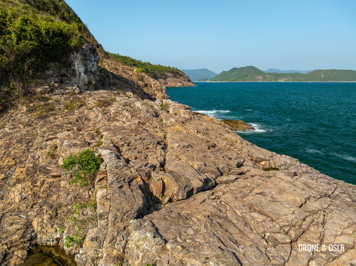
The Scenic Coastal Section
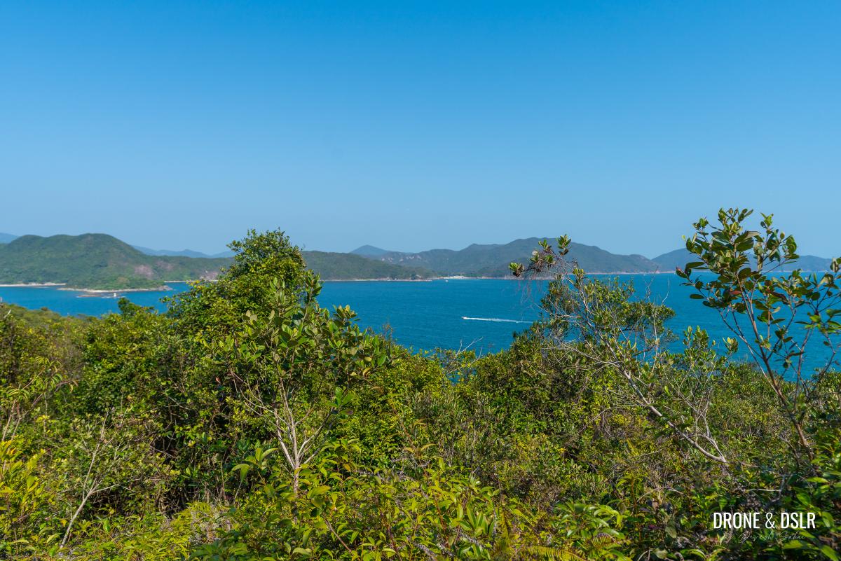
At this point, you have reached the highest part of the hike, well done! What follows is perhaps the most scenic stretch of the Pak Ma Tsui Hike.
After all that climbing, the trail flattens
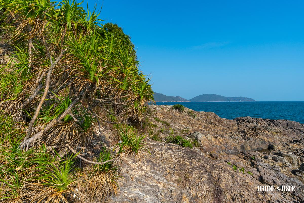
The path skirts the hillside, overlooking the narrow strait between the peninsula and Sharp Island. These views peeking through the trees can be intermittent, appearing and disappearing as the forest thins.
-
- Look left, and you can admire gorgeous views of Sharp Island from this section of the trail
-
- Watch out for the rocks on the scenic section of the hike

While the path starts off easy, it eventually becomes narrow and rocky, requiring you to be more careful.
-
- Big rocks and narrow path
-
- After the rocks, the trail becomes flat and smooth again, but remains narrow
Once you pass this rugged section, the ground clears but remains very narrow. Take care not to lose your balance while looking at the scenery while hiking.
-
- Enjoy the gorgeous views from this section of the Pak Ma Tsui Hike
-
- Big boulder on the path – watch out!
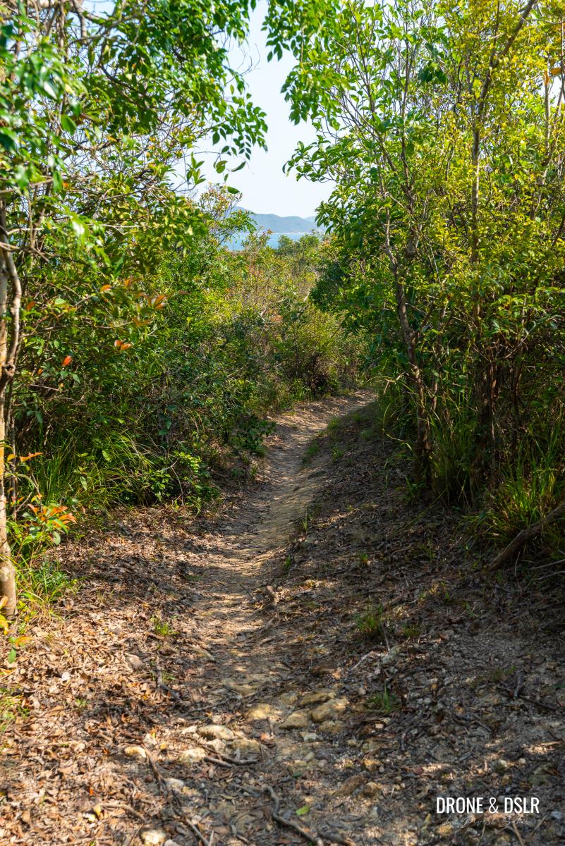
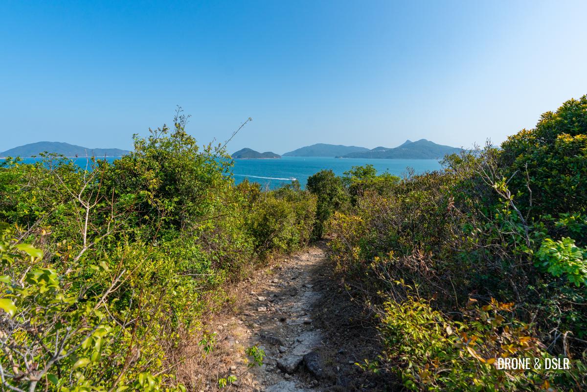
After passing a large boulder in the middle of the trail, the views of Port Shelter fully open up as the path descends into a flat, shrub-lined clearing.
-
- As the trail begins to descend, you get these awesome views

-
- Exiting the coastal scenic section of the hike
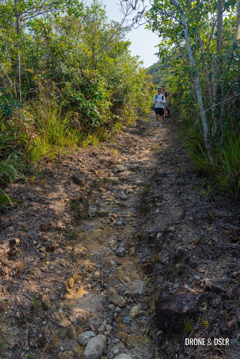
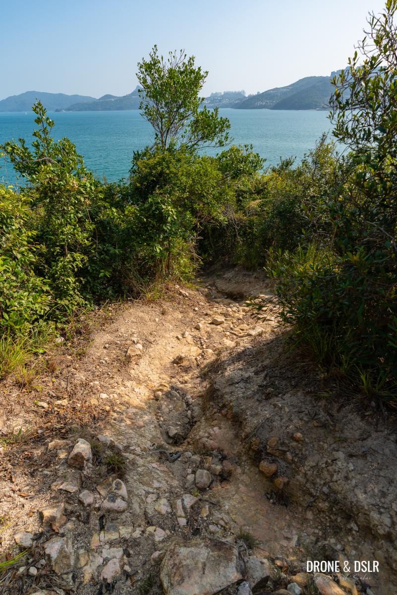
The Descent Into Pak Ma Tsui
After navigating that narrow trail, this section gives you plenty of space on both sides.
The final section of the hike begins from here
The final descent to Pak Ma Tsui begins on an easy and flat trail. As it progresses, the trail slowly begins to dip, and as it does, it reveals the views of Port Shelter, all the way to Clearwater Bay ahead. Take a moment to soak in the scenery before the gentle decline steepens.
-
- Follow this flat, easy trail
-
- As the trail begins to descend, more views show up
From this point on, the gentle decline becomes steeper, and covered with loose rocks. The descent also becomes steep and especially challenging in parts. So, stay low, and hold onto the branches for extra support.
-
- Closer to the end, the trail becomes quite steep – be careful as you descend
-
- Grab onto trees or branches for support

-
- The views are spectacular, but be careful of where you step
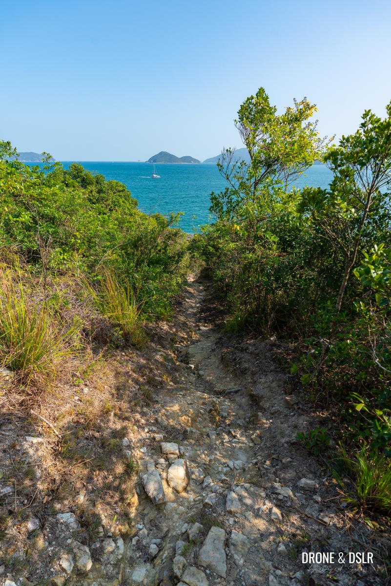
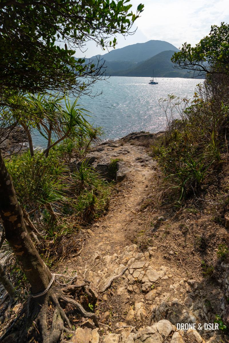
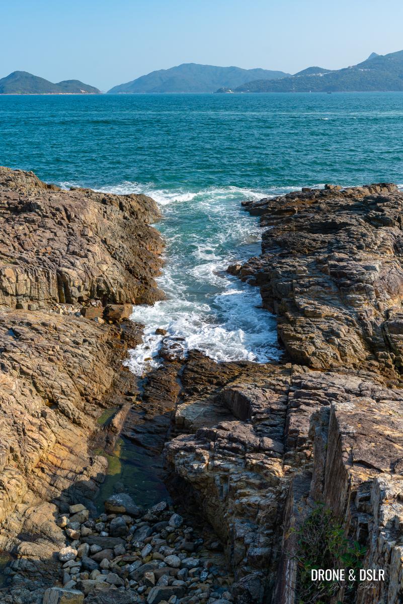
Soon, the tip of the peninsula comes into view: Pak Ma Tsui in all its glory! Getting down to the rocks themselves is quite steep, but fortunately, there is a rope attached to a tree to assist you.
-
- The trail finally ends at Pak Ma Tsui!
-
- Gorgeous Pak Ma Tsui!
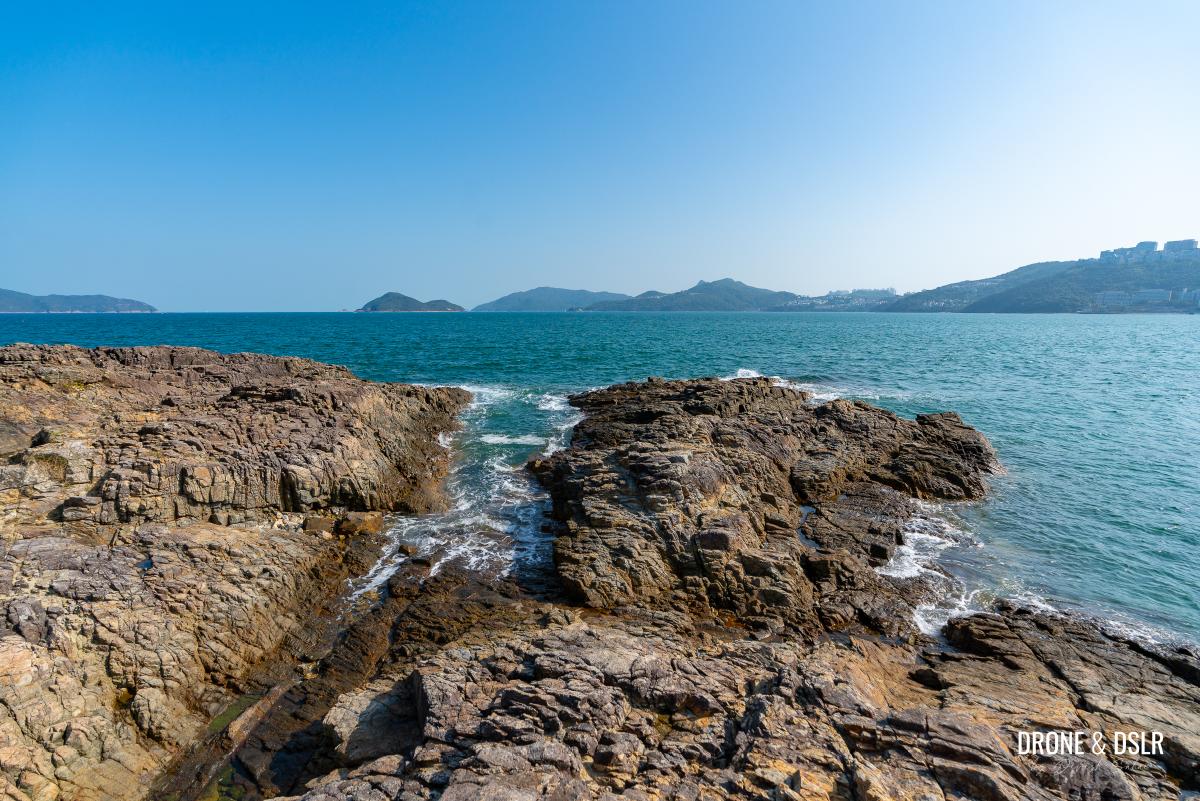
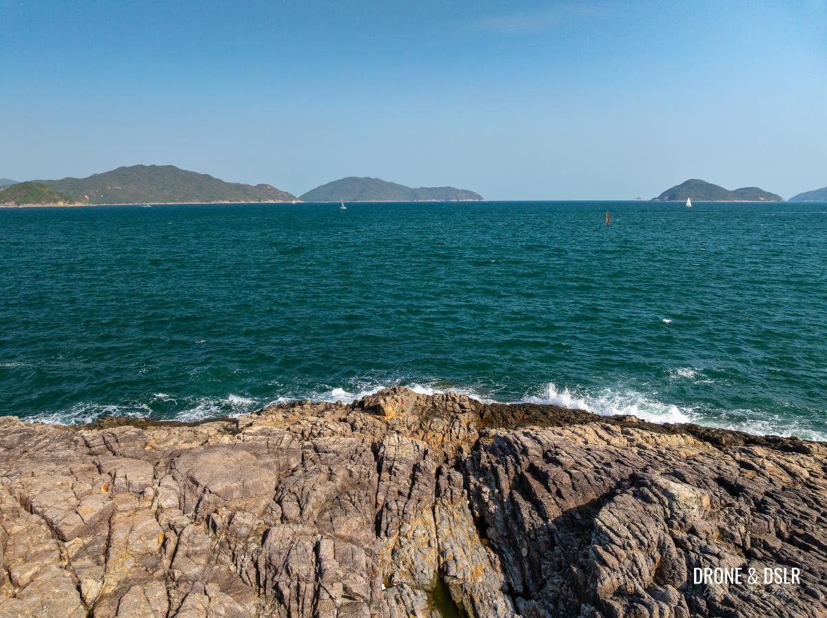
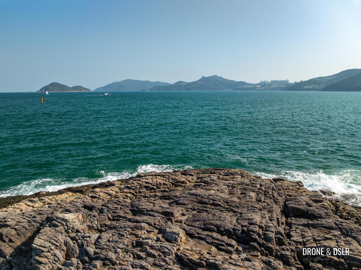
Pak Ma Tsui
Feel free to explore the rocky end of the Pak Sha Wan Peninsula. Just watch your steps, especially if the rocks are wet.
-
- The edge of the land – Pak Ma Tsui
-
- Step across to the other side to explore Pak Ma Tsui (White Horse Point)
-
- Views of Port Shelter from Pak Ma Tsui
-
- There’s plenty of space to sit and enjoy the views at Pak Ma Tsui
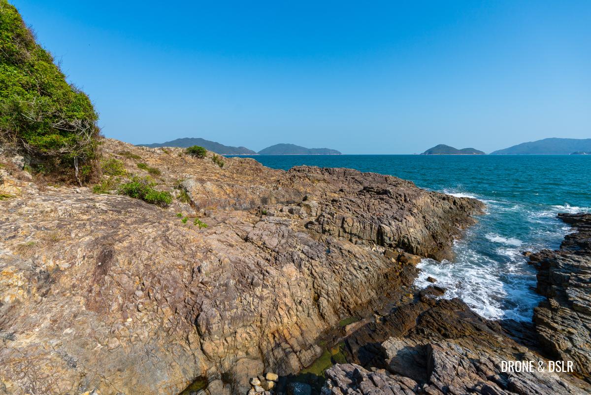
The rocks extend to both sides, but honestly, I found it enjoyable to sit on one and enjoy the strong cool winds, and the views.
-
- The raw, edge of the land beauty of Pak Ma Tsui
-
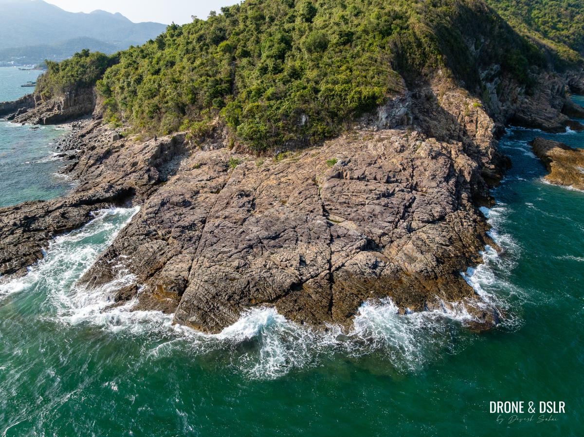
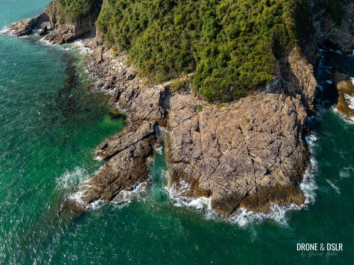
- Aerial view of the crashing waves
The narrow gaps in the shoreline allow waves to crash right up toward the path.
-
- This narrow gap between the rocks allows the water to come crashing towards you
-
- Looking at Sharp Island from Pak Ma Tsui
The highlight of the experience was the sheer seclusion. I had the entire spot to myself for over thirty minutes before the next group of hikers arrived.
Hello from Pak Ma Tsui!
Ending The Pak Ma Tsui Hike
When it comes to ending the Pak Ma Tsui Hike, you have two options.
- You can retrace your steps all the way back to Hiram’s Highway (and finish in Sai Kung town).
- Alternatively, you can head back to the earlier junction and follow the path to Trio Beach. As one of my favourite spots in the area, it’s a fantastic way to end the day. From the beach, you can either hike back to the main road or take a scenic sampan ride to the Hebe Haven Public Pier.
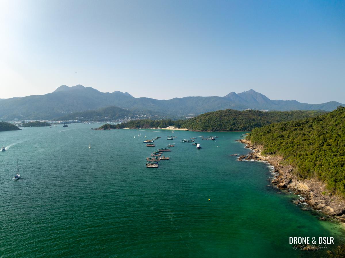
View of Trio Beach from Pak Ma Tsui from the sky (else not visible)
White Horse Point
I hope you found this guide to Pak Ma Tsui helpful! If you used it to navigate your way there, please drop a comment below.
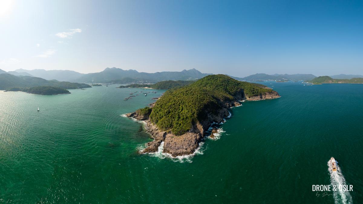
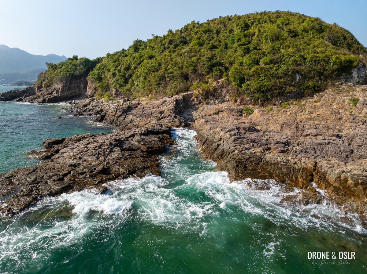
Aerial panorama of Pak Ma Tsui and Tai Ngam Hau
As I’ve mentioned, I love these coastal, ‘no-climb’ hikes to the edge of the land. If you’re looking for similar adventures, I highly recommend exploring Cape D’Aguilar, Cape Collinson, and the Lei Yue Mun Quarry.
And as always, feel free to share this guide on your favourite social media platform!
If you enjoy our work, come join us on Instagram and YouTube 🙂


You might also like


Leave a reply